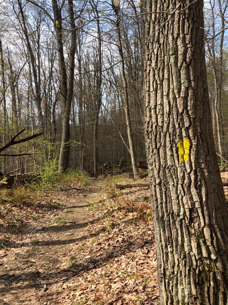
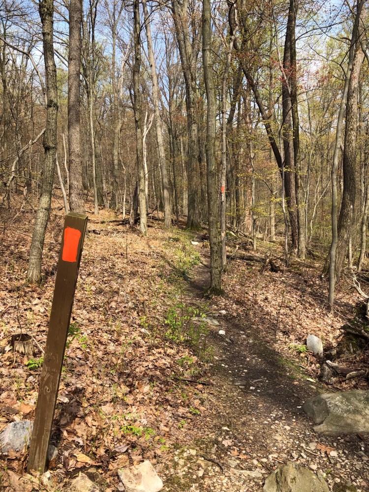
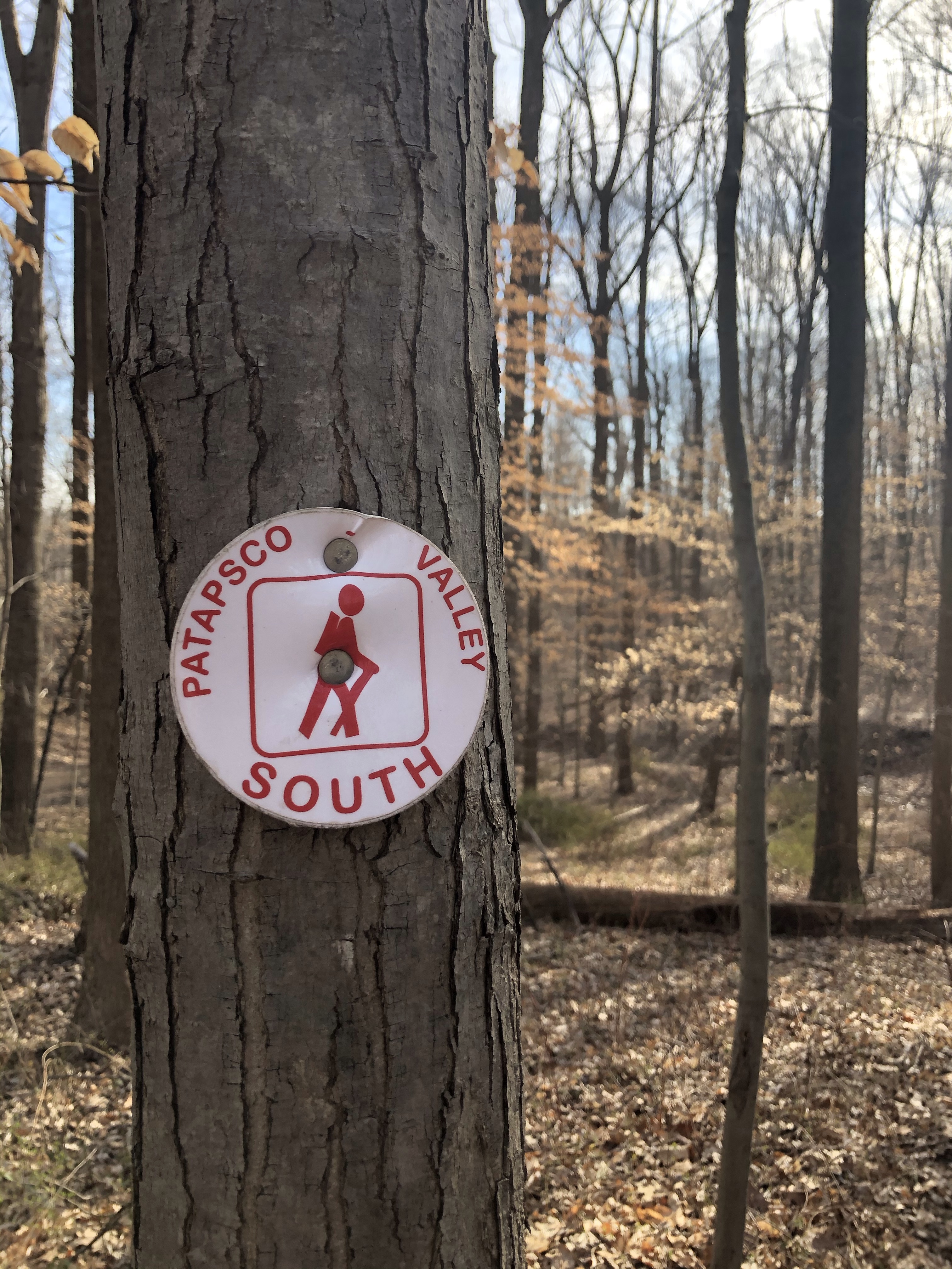
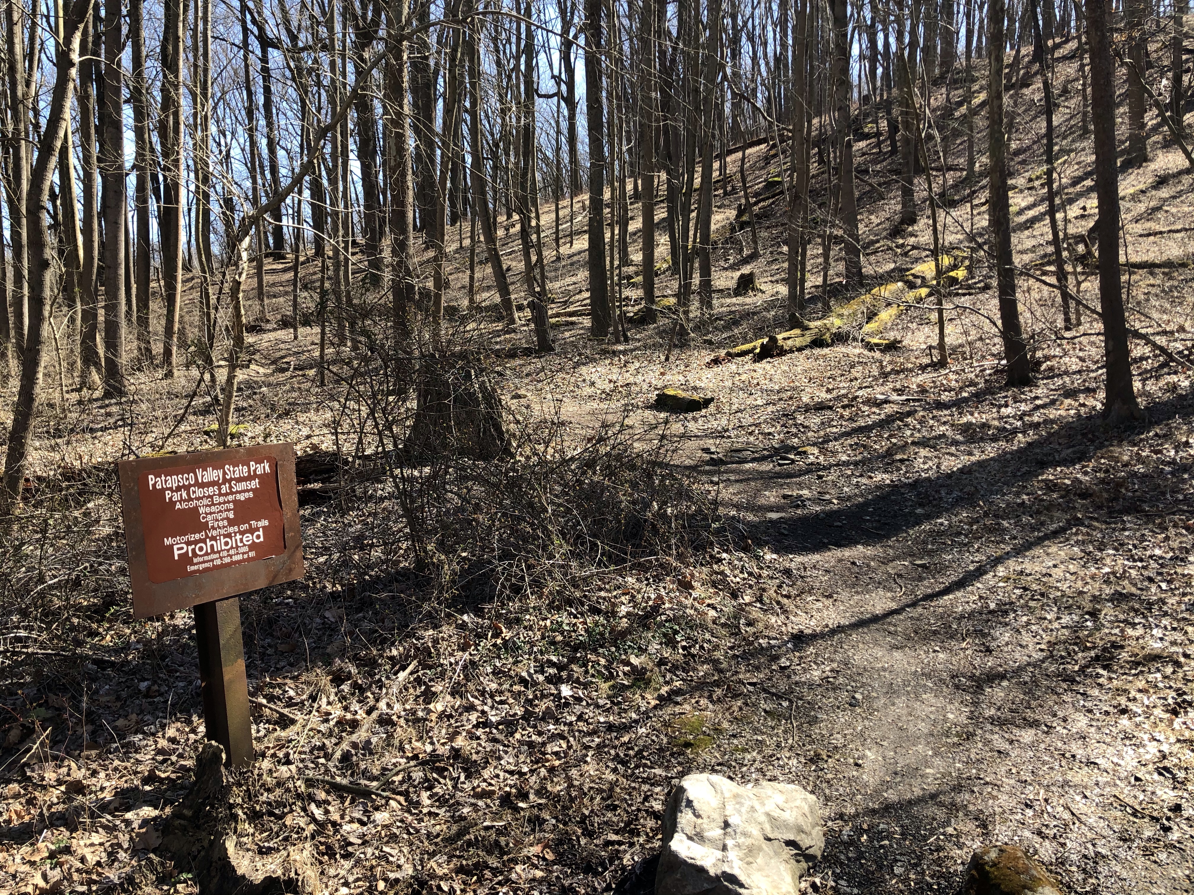
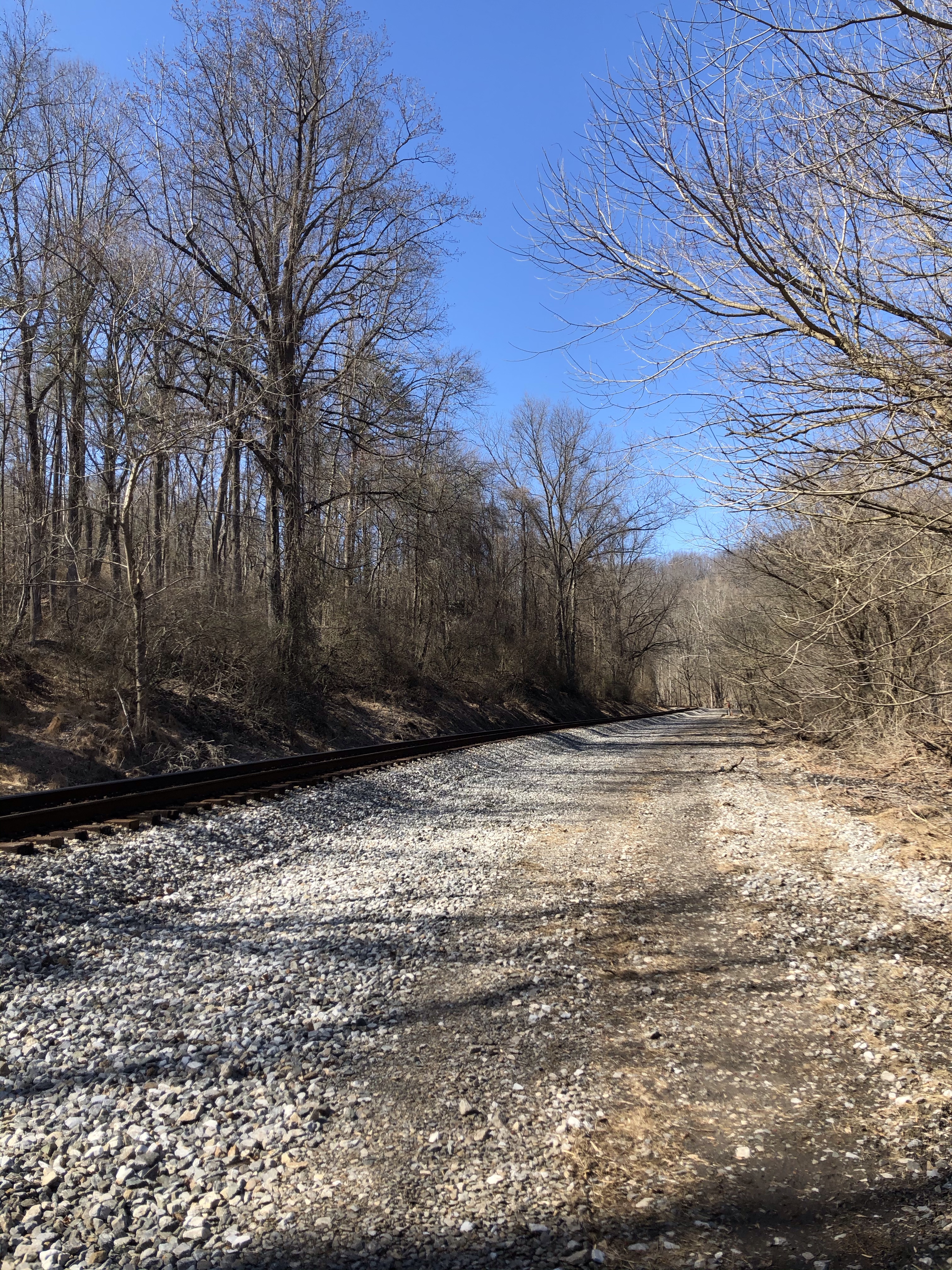
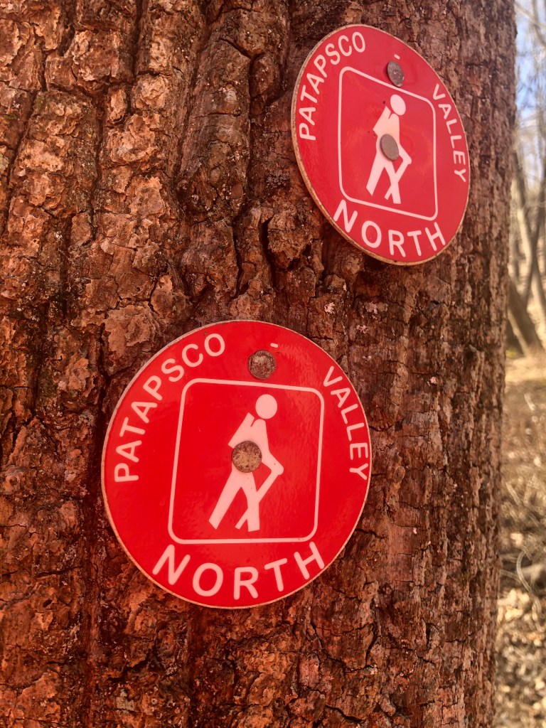
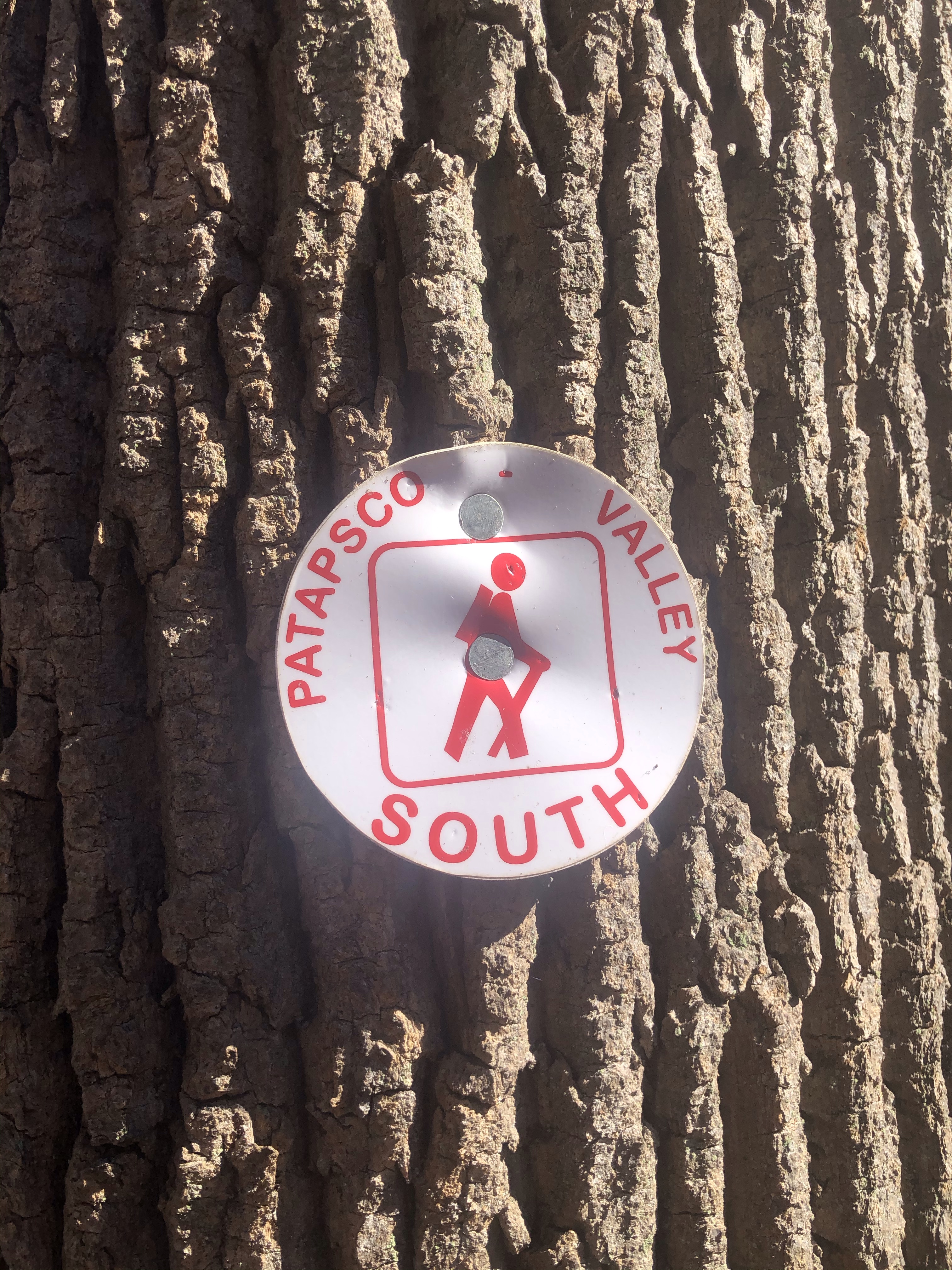
4/25/2020 Cat Rock Trail (yellow) – Cat Rock Overlook – Bobs Hill Trail (still yellow – AllTrail marks this as Cat Rock Trail) – Lake and Cat Rock Trail or Catoctin National Recreational Trail (blue). Confusing/Contradicting signs! – to Lower Trail and Falls overlook – Handicap Boardwalk Trails (closed now because of Covid-19) – Falls Nature Trail (orange and after parking area on Park Central Rd. red-white).
Elevation gain: 1444ft
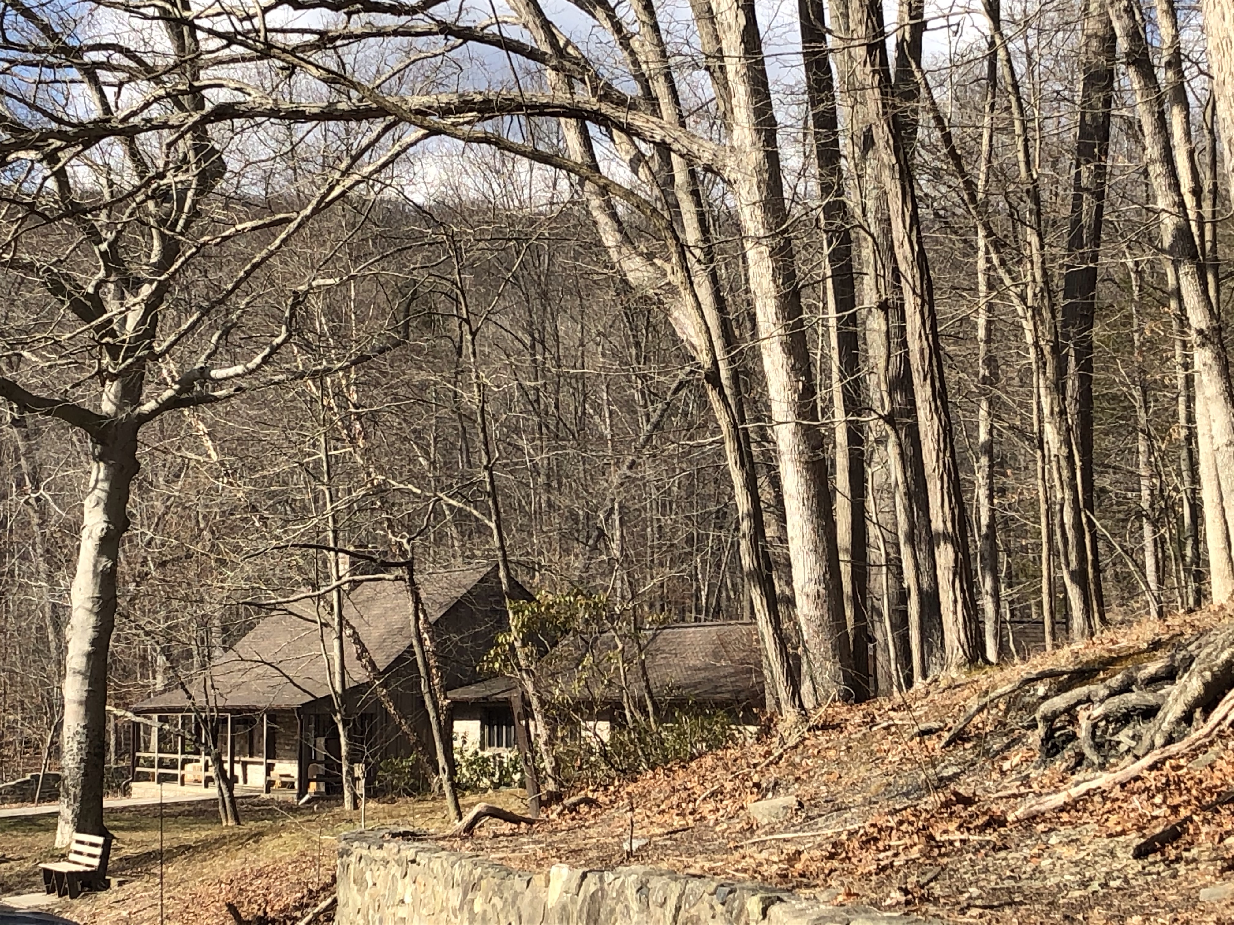
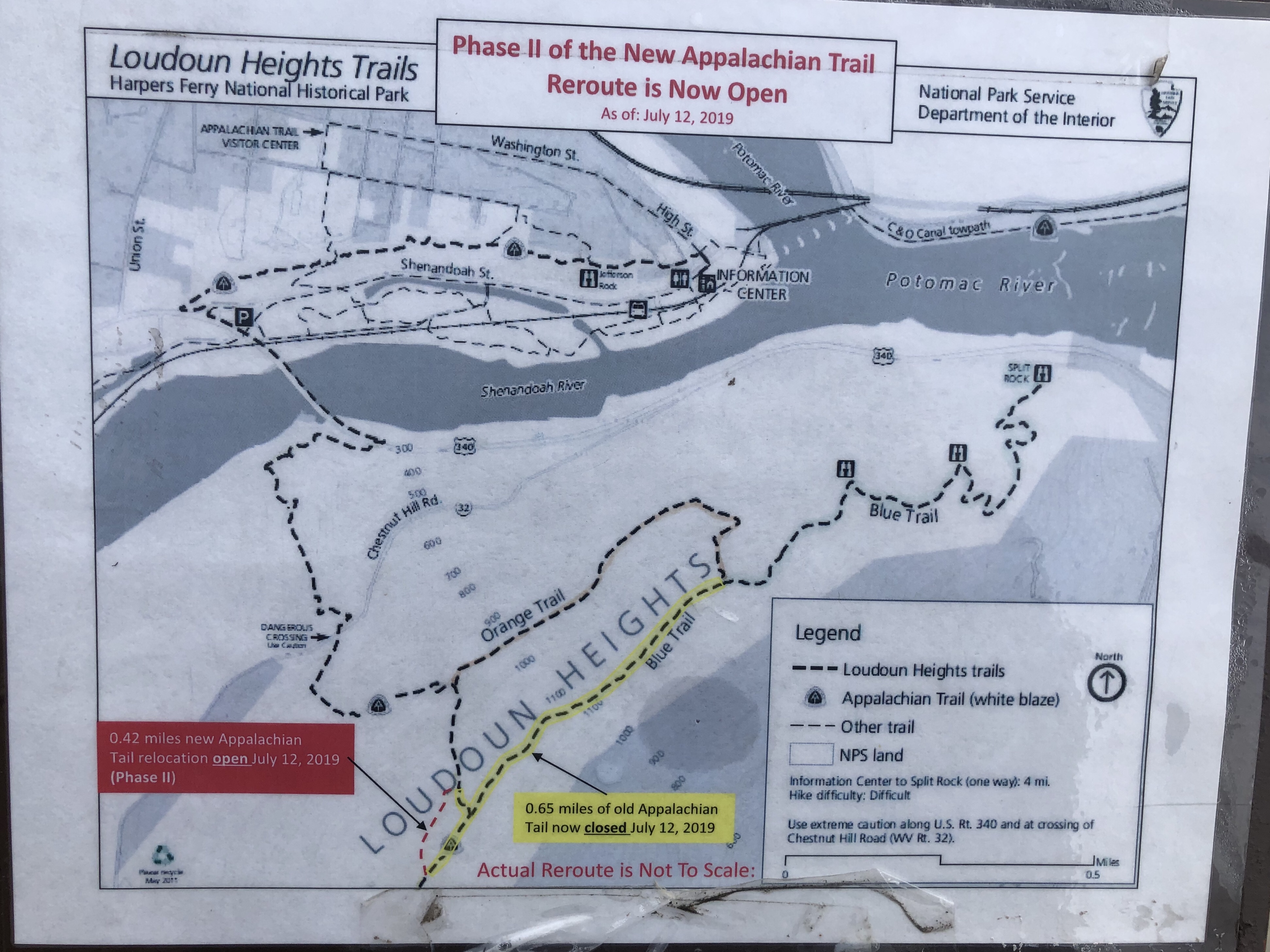
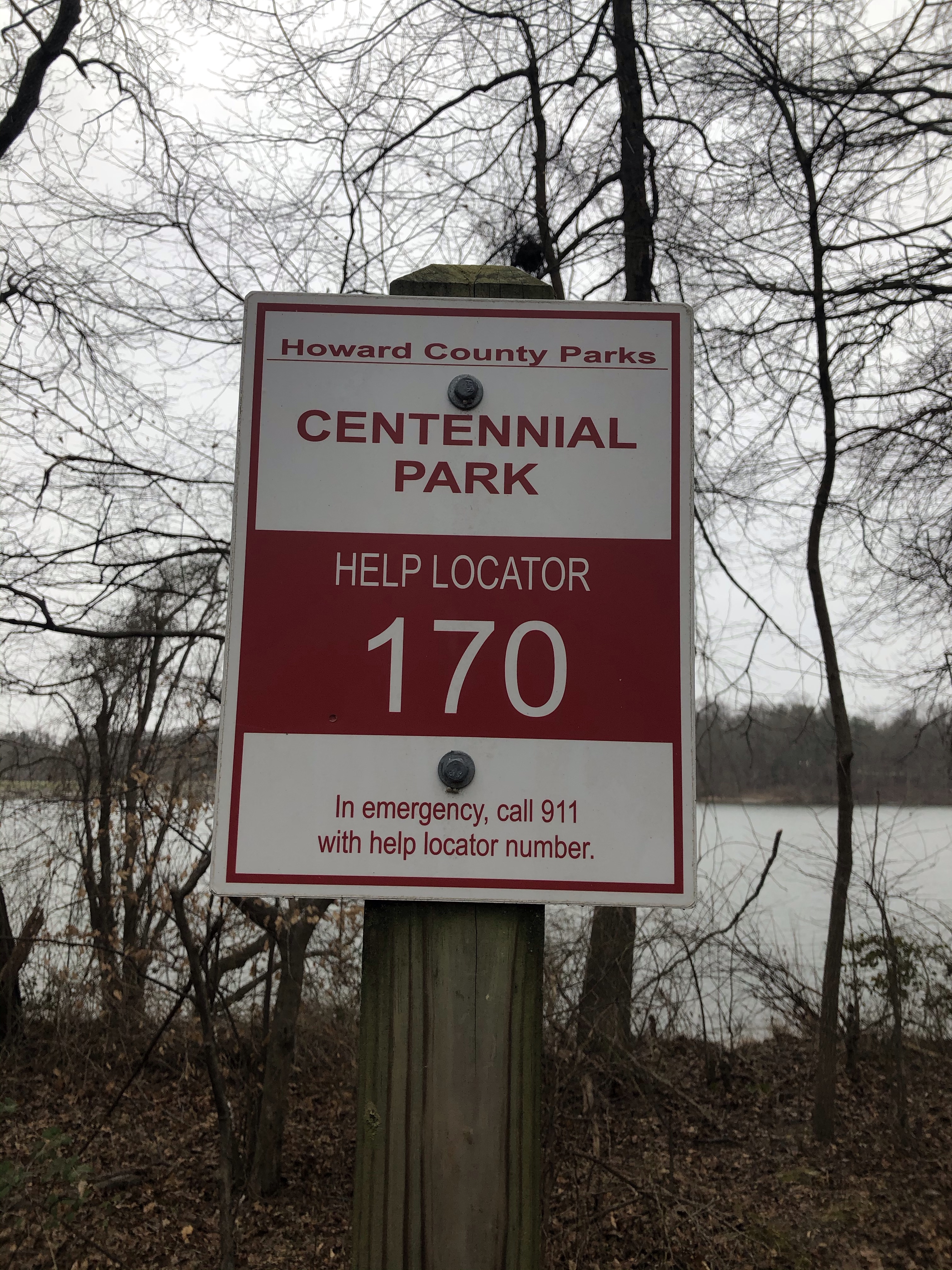
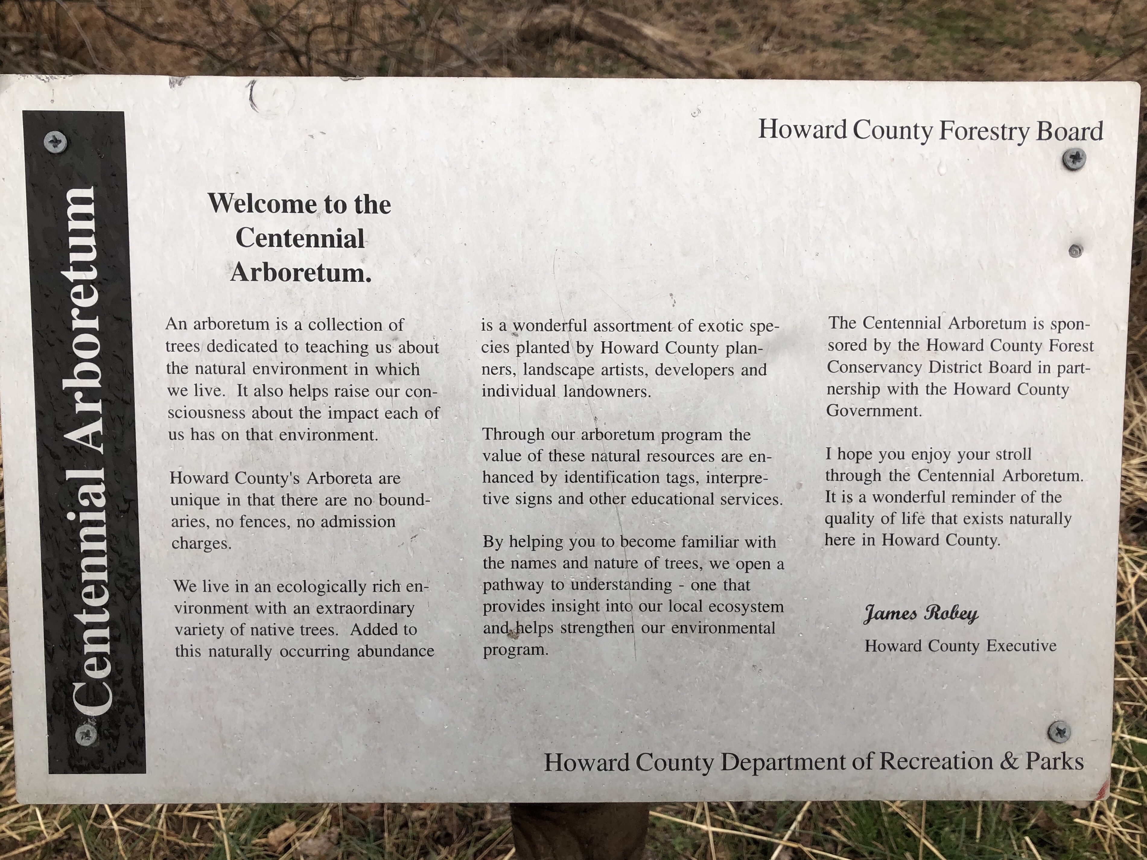
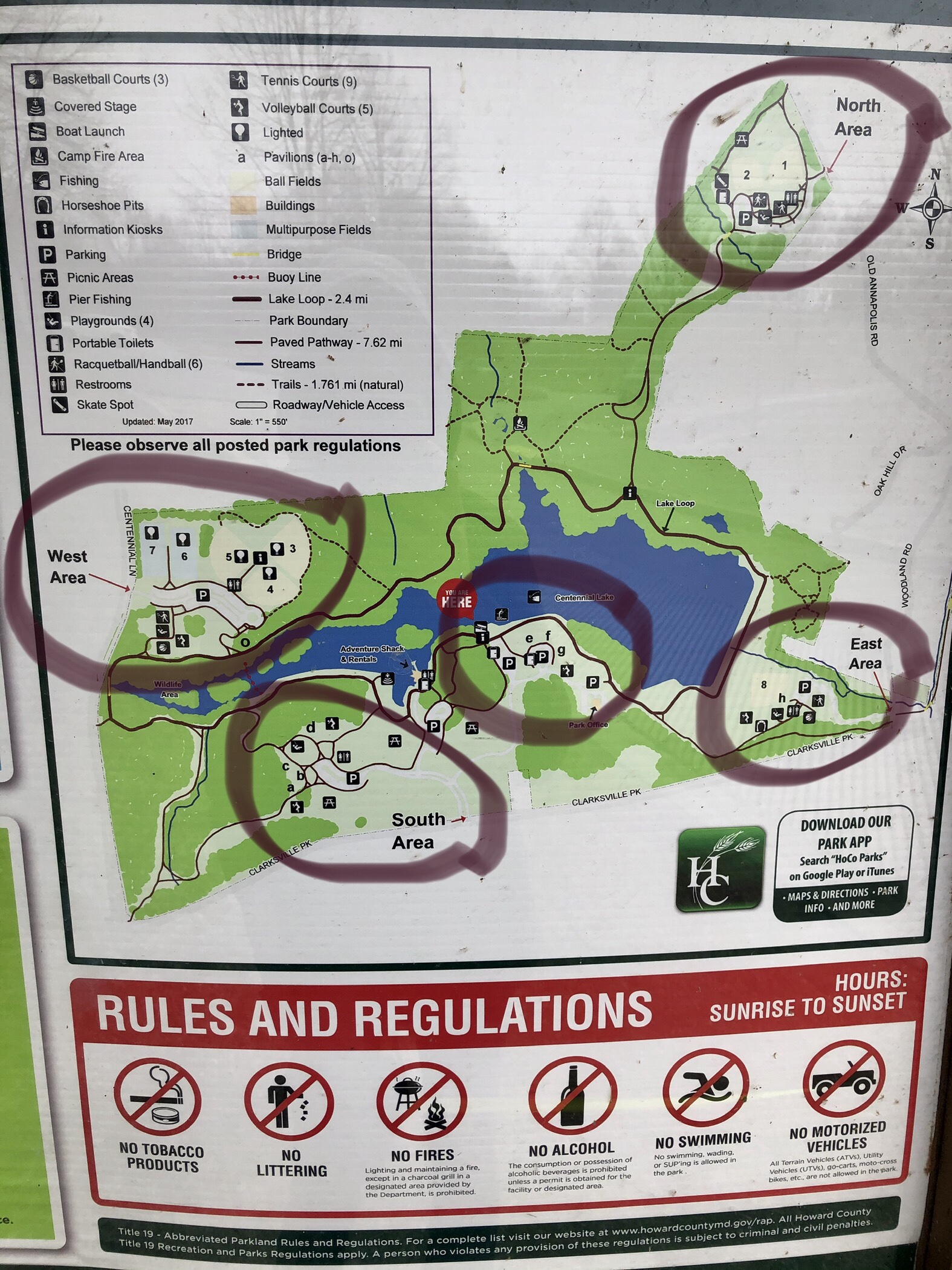
Location: Catoctin Mountain Park 6602 Foxville Rd. Thurmont, MD 21788
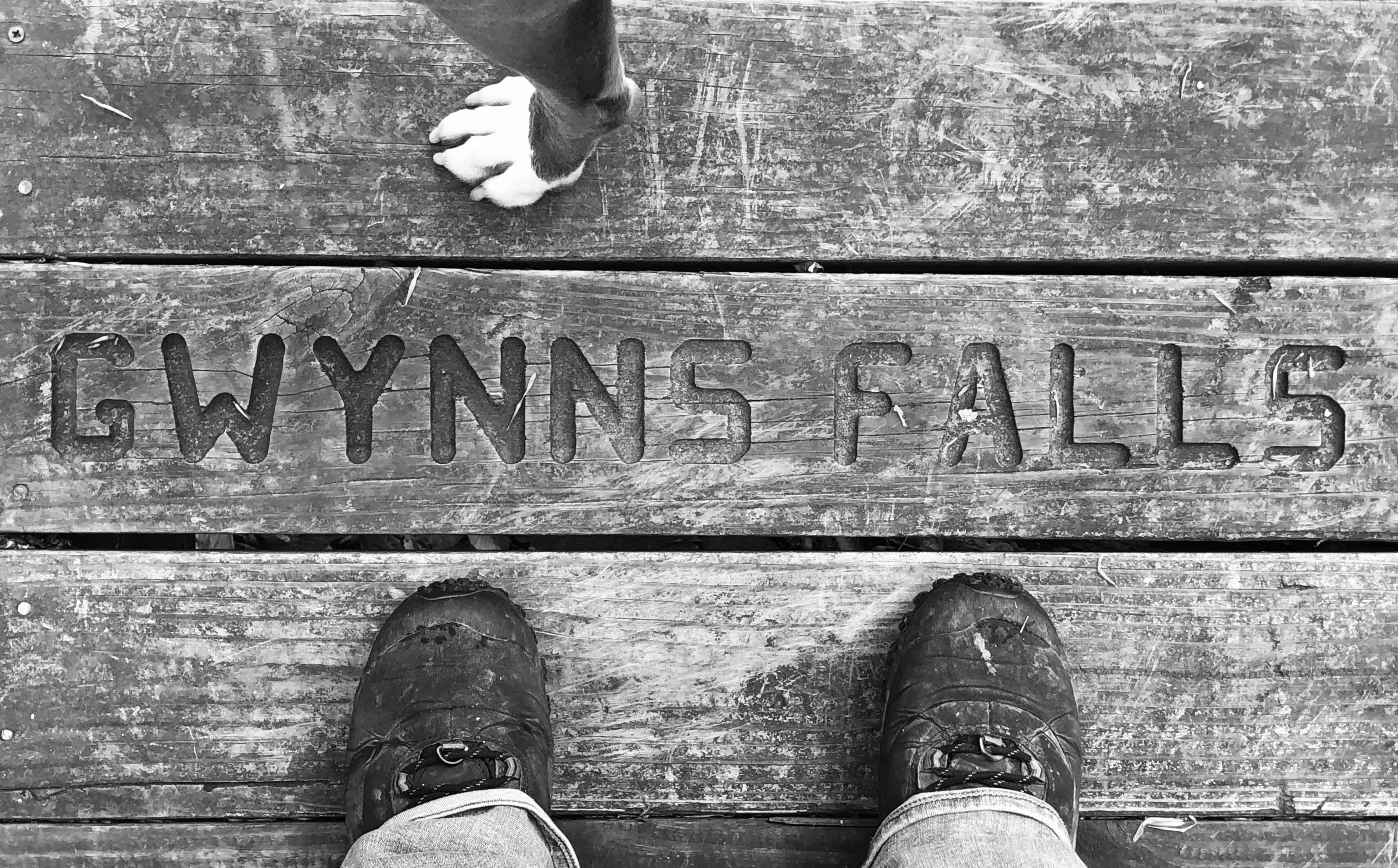
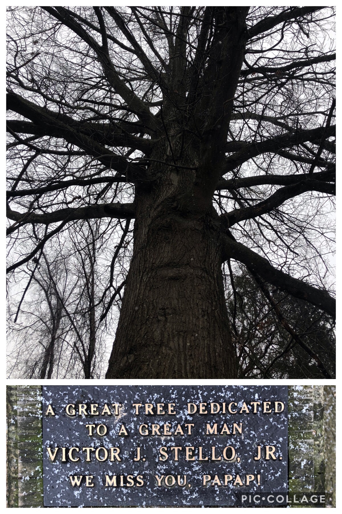
👀
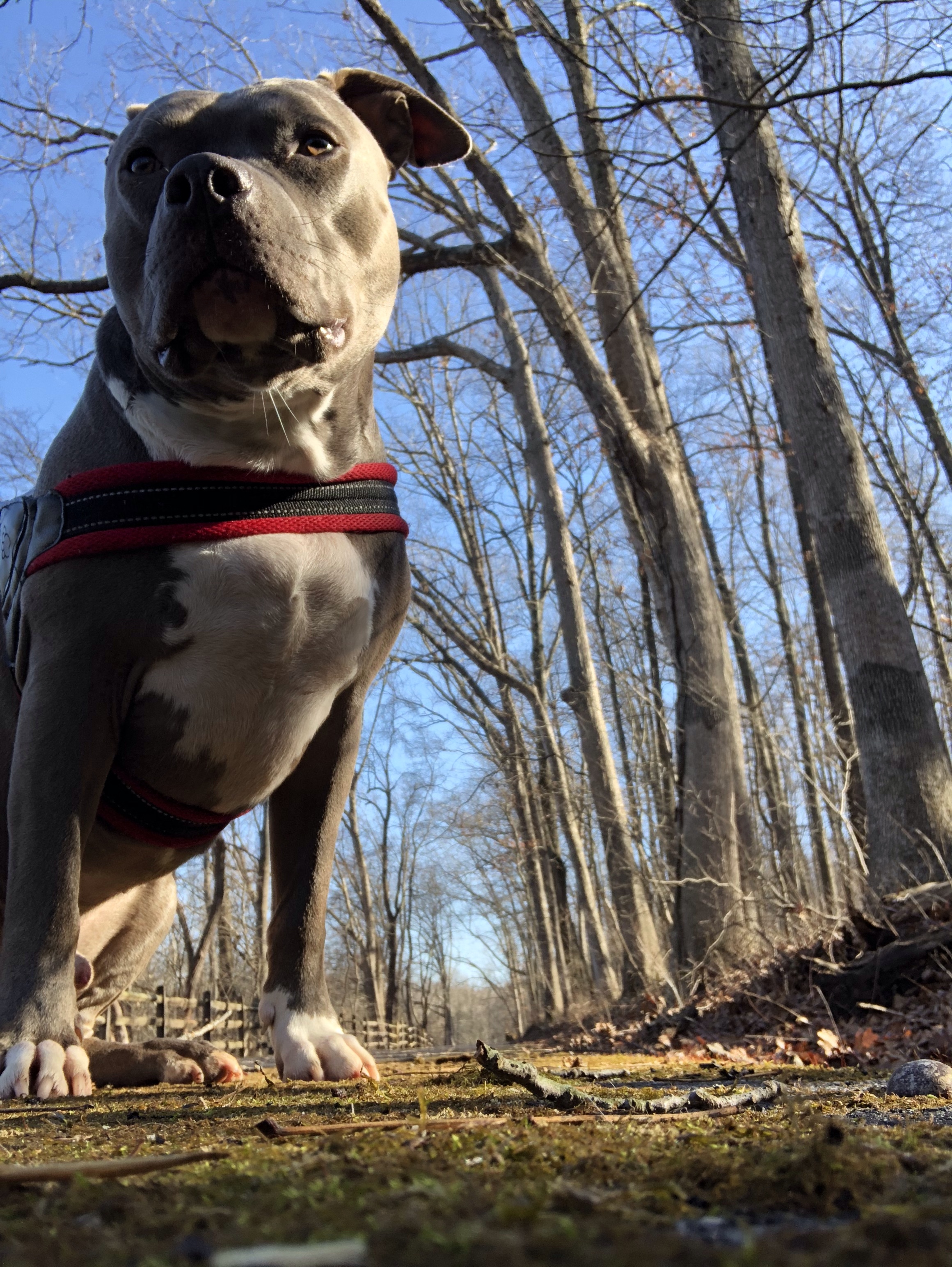
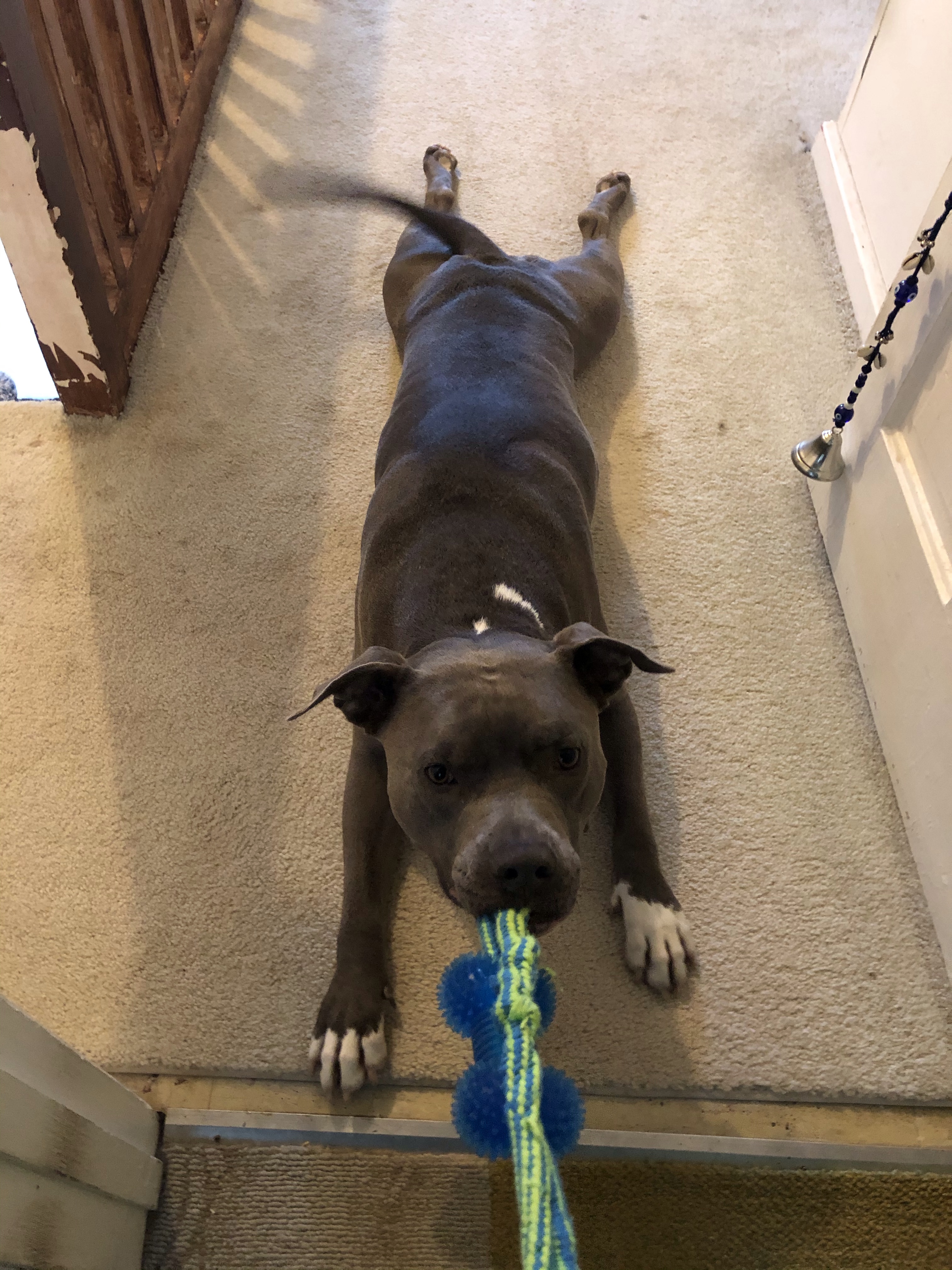
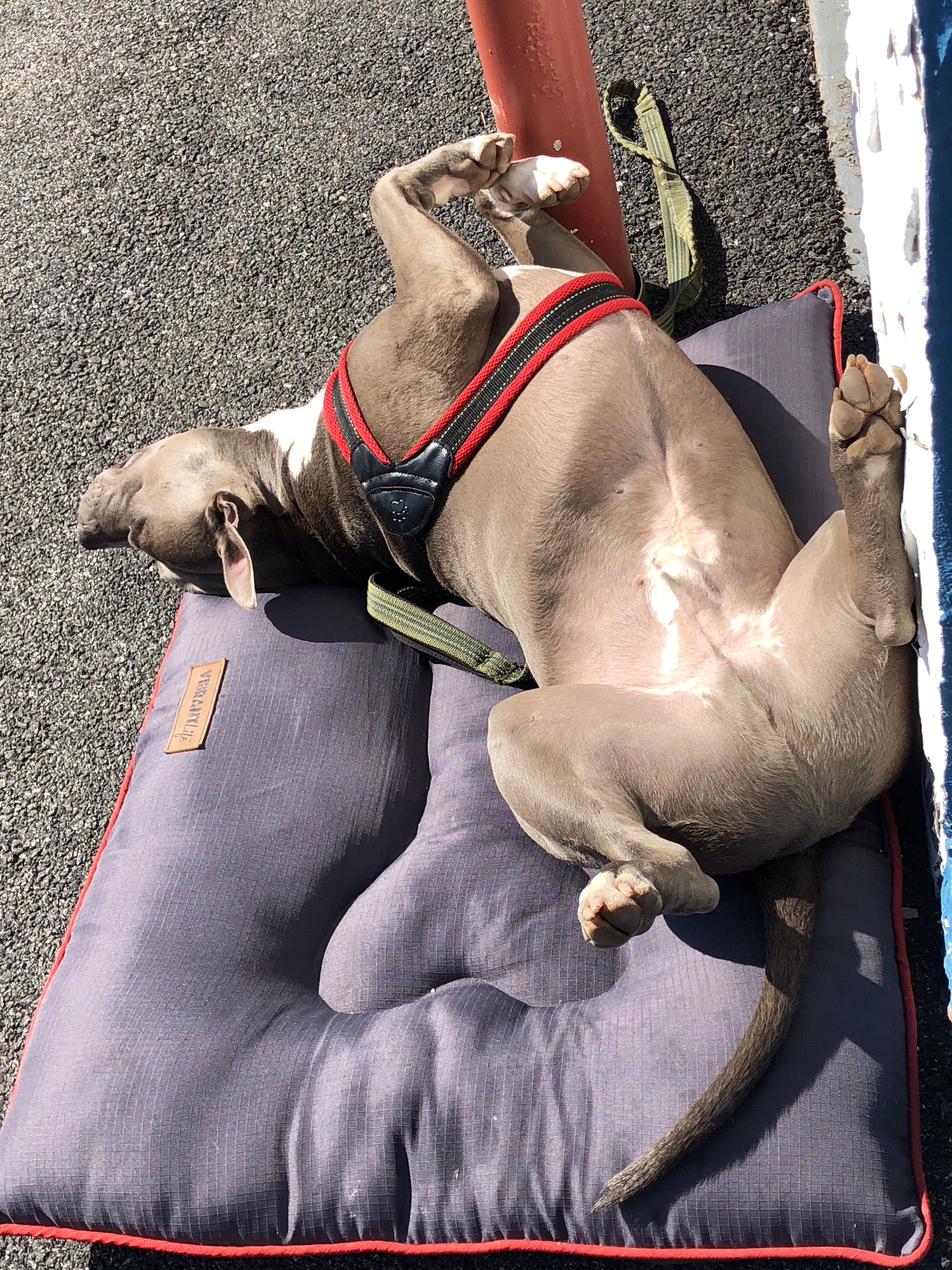
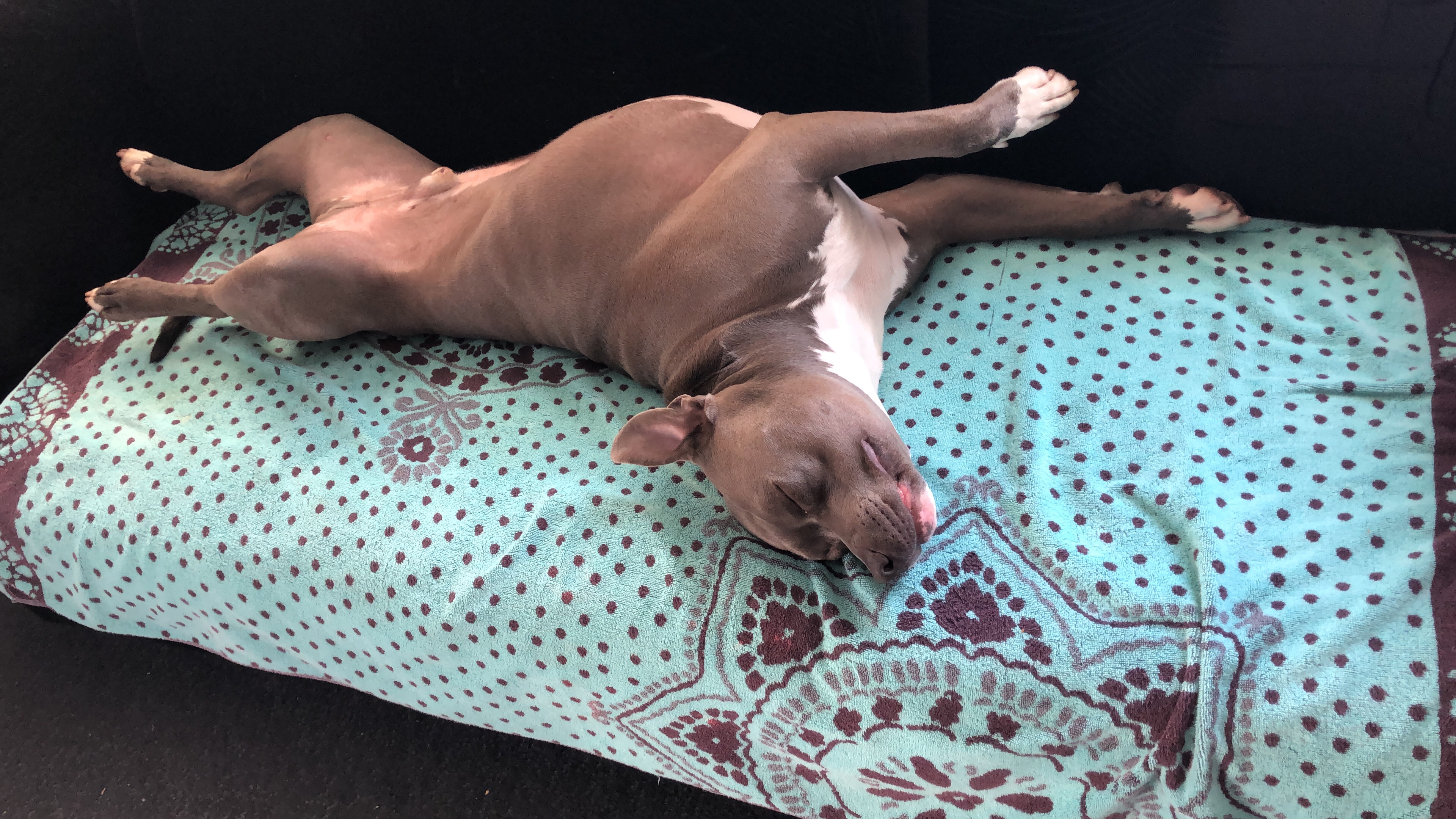
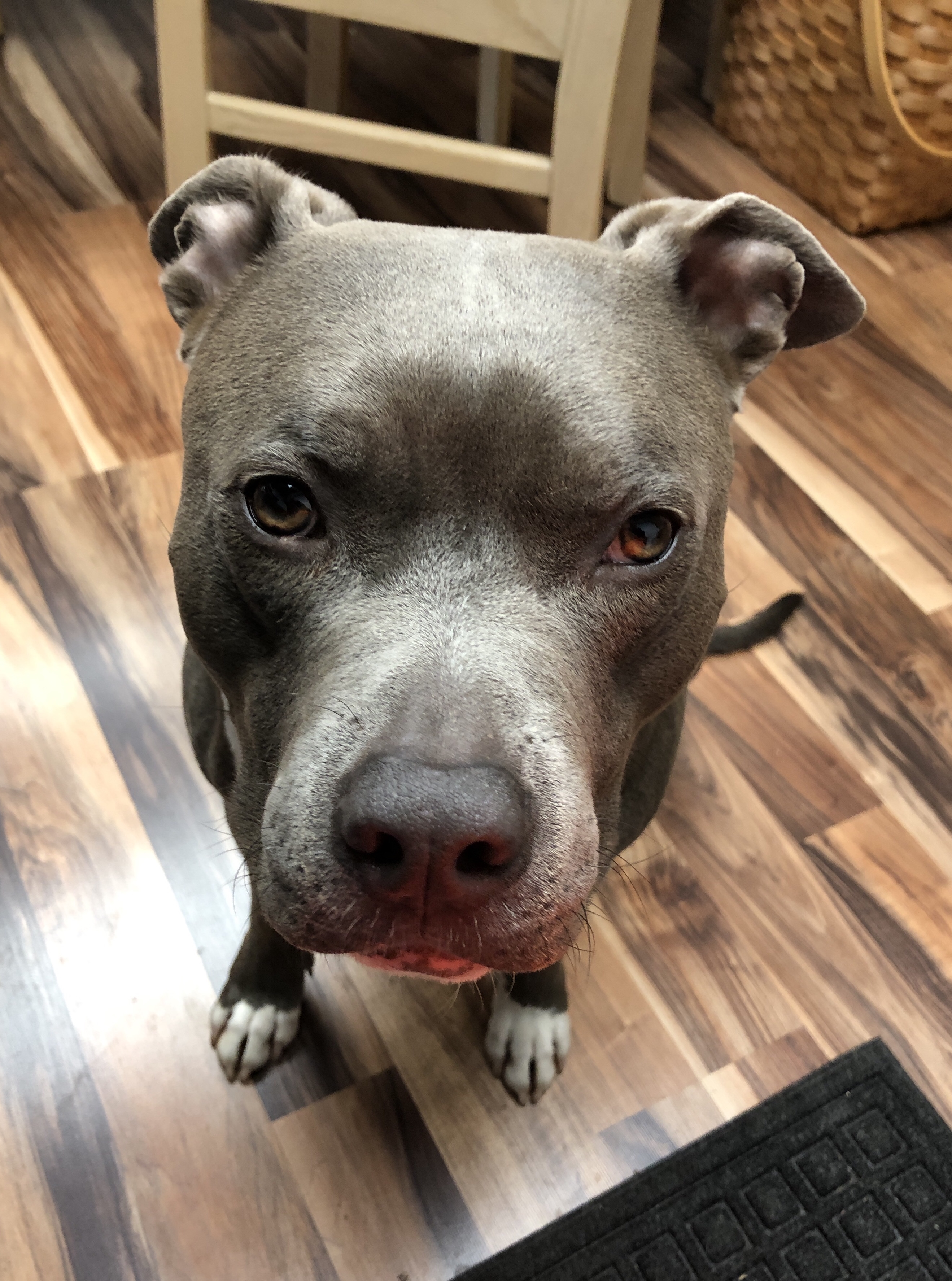
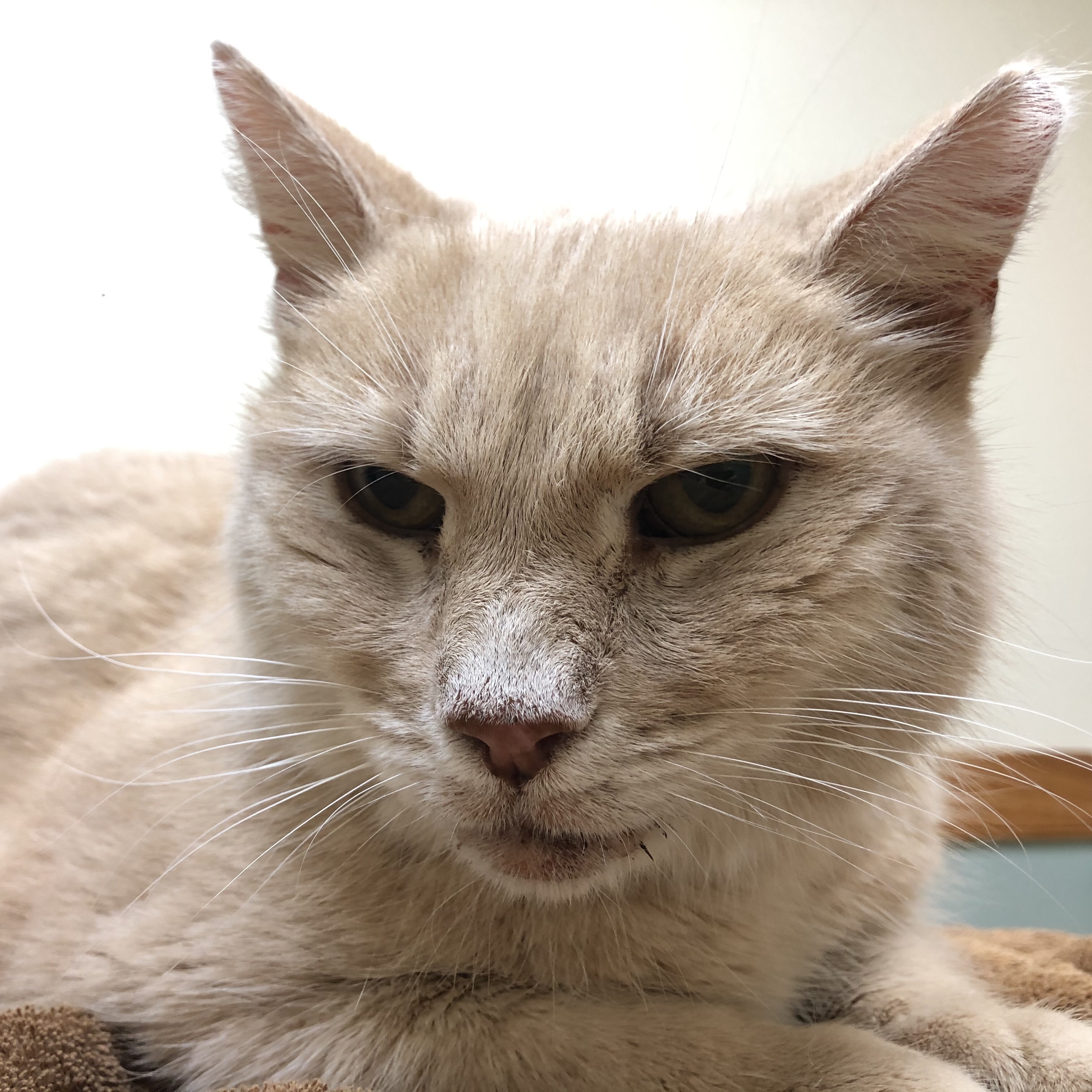
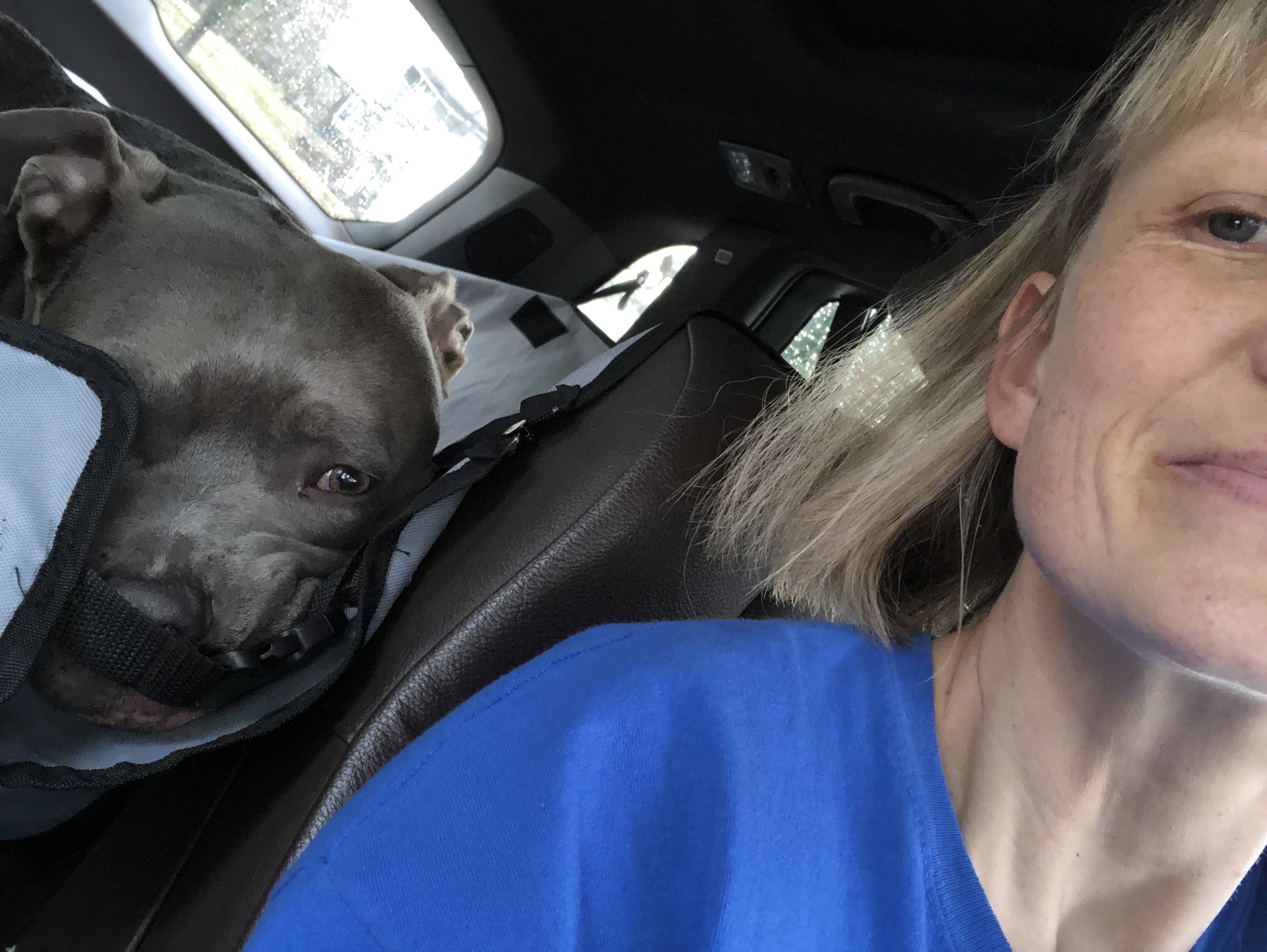
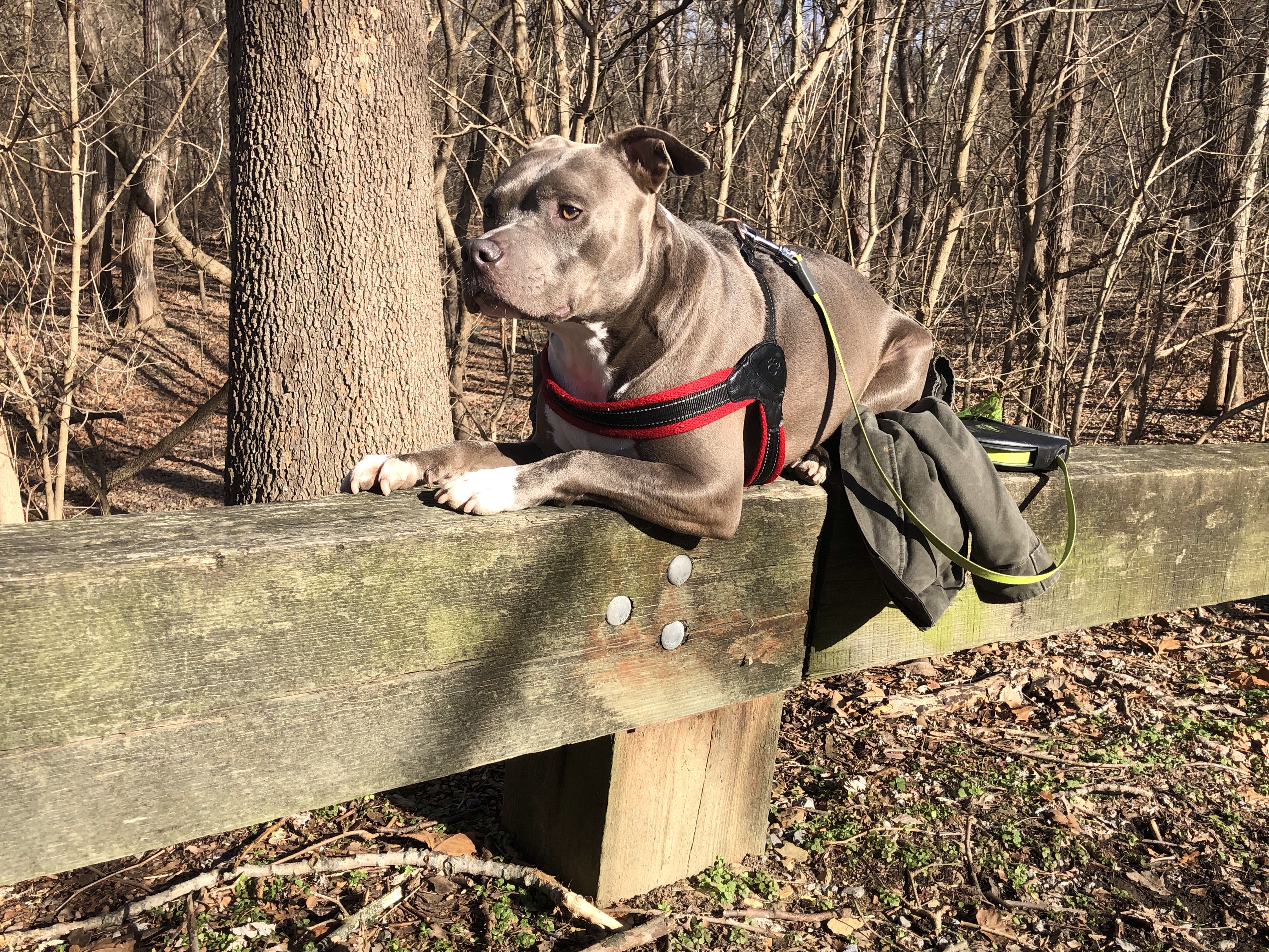
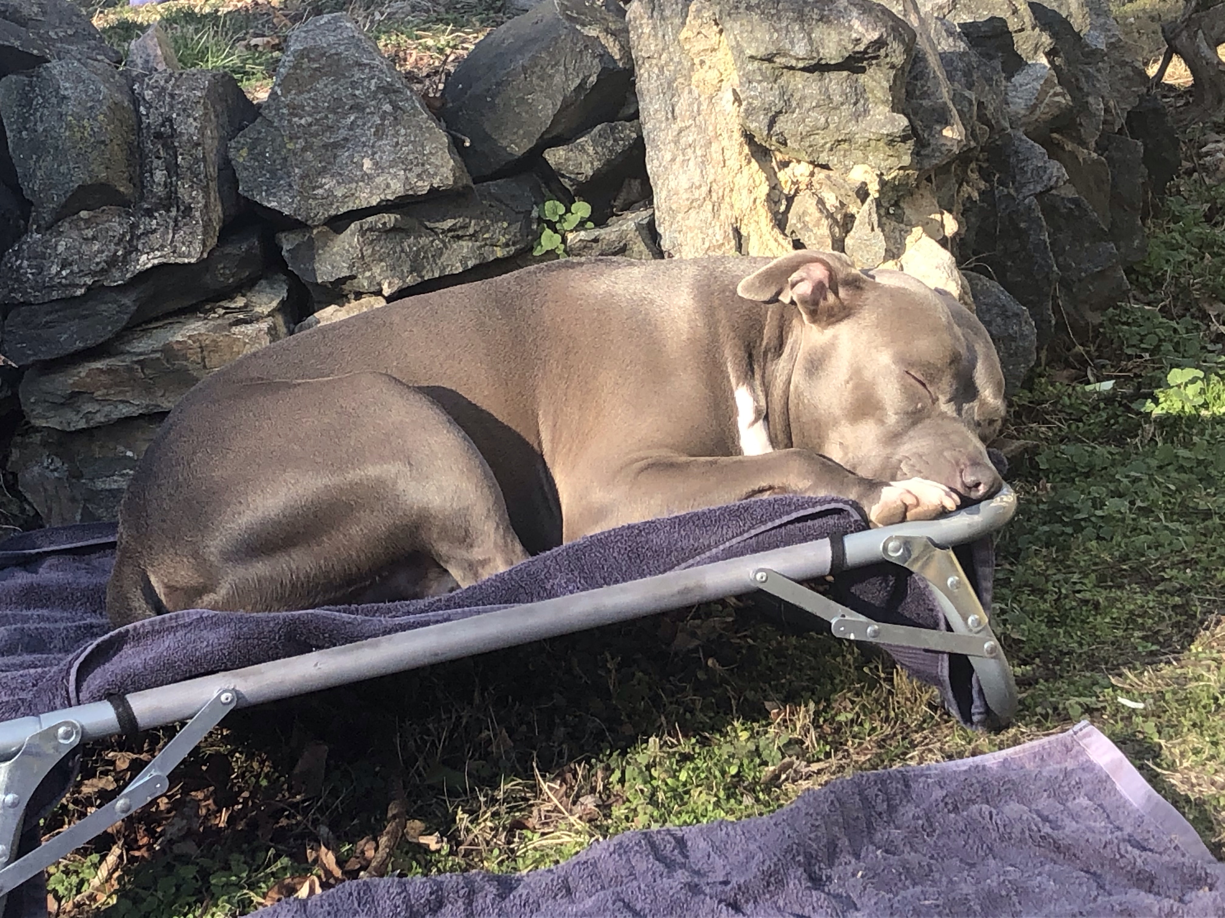
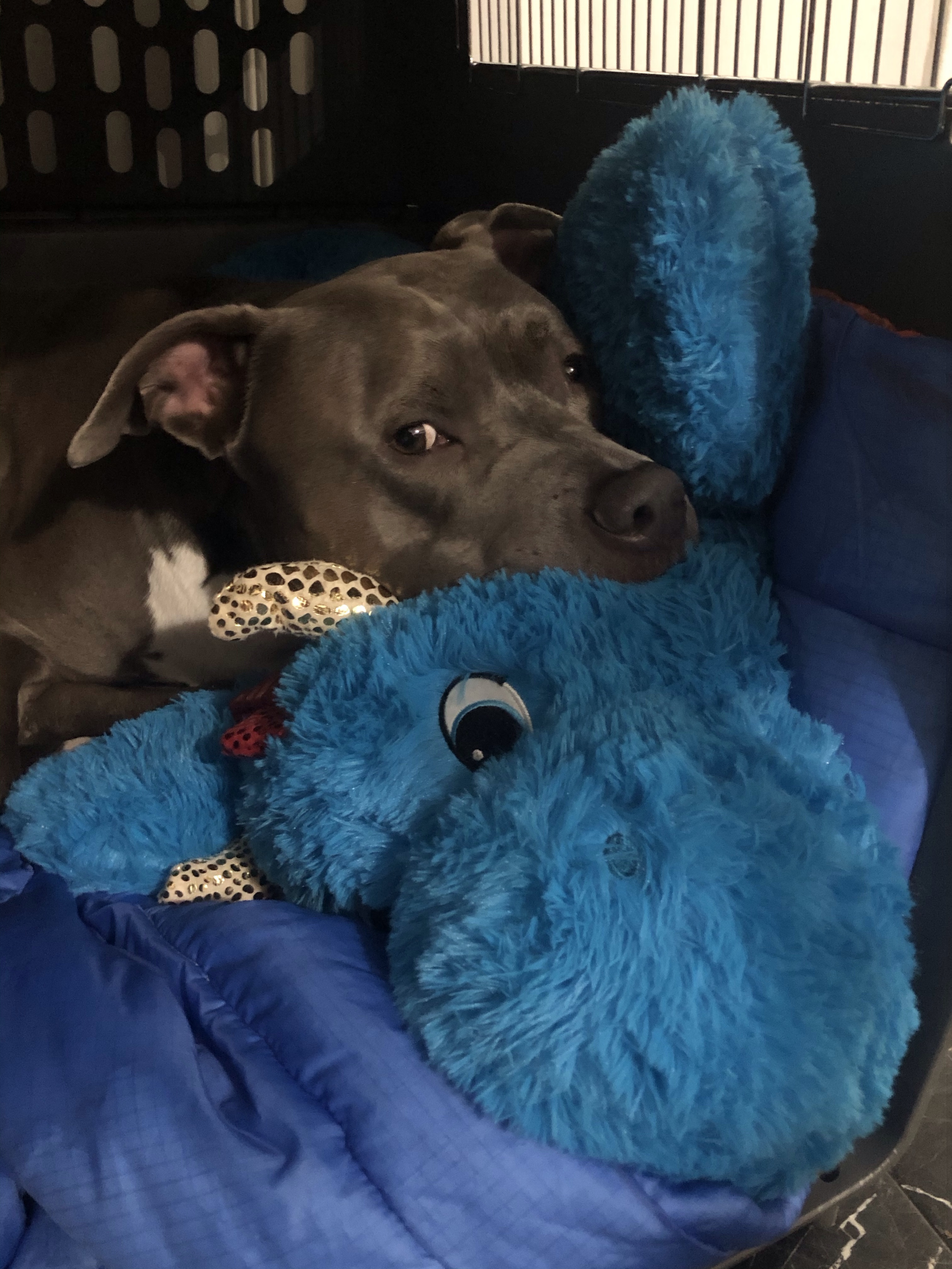
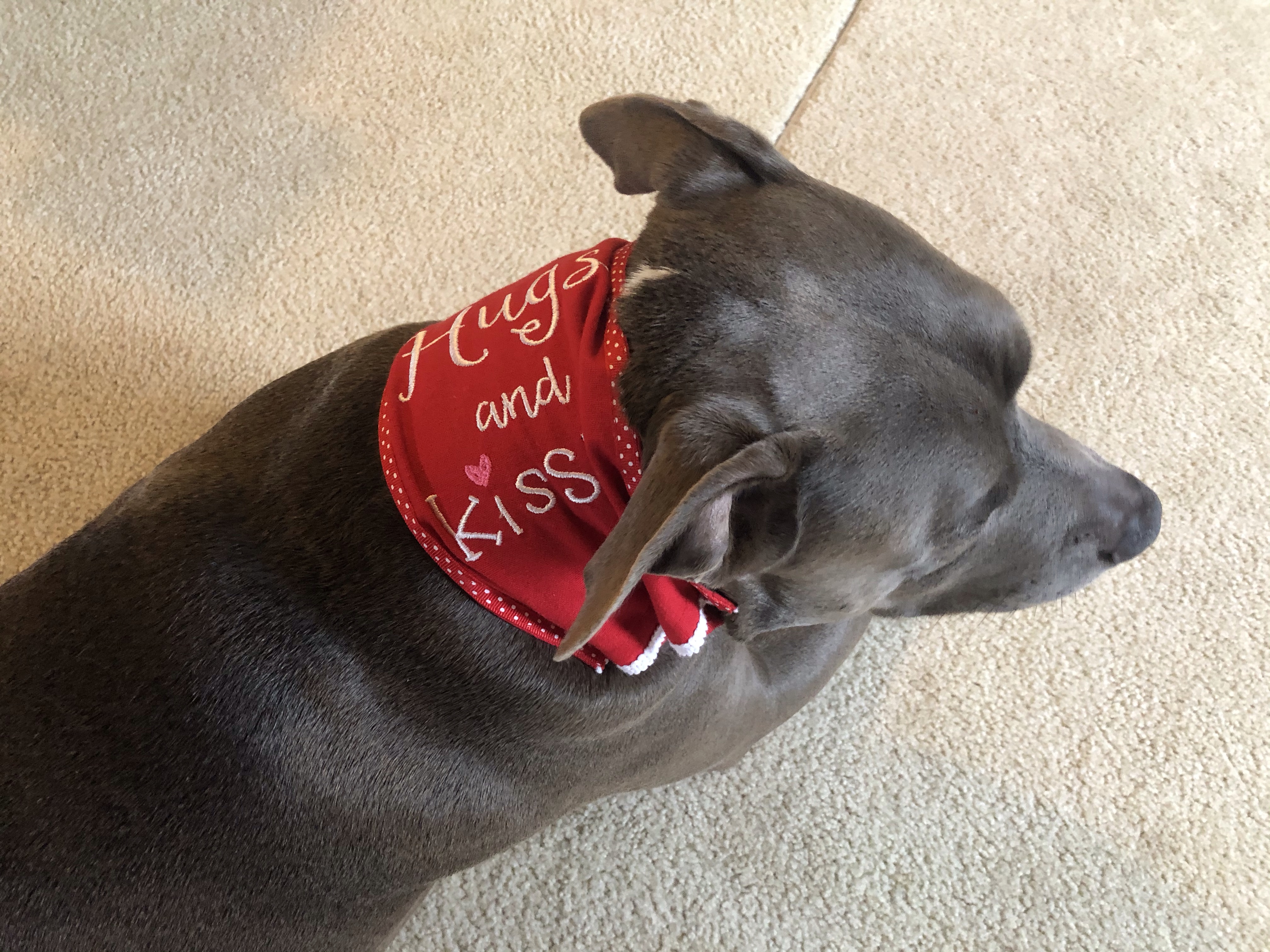
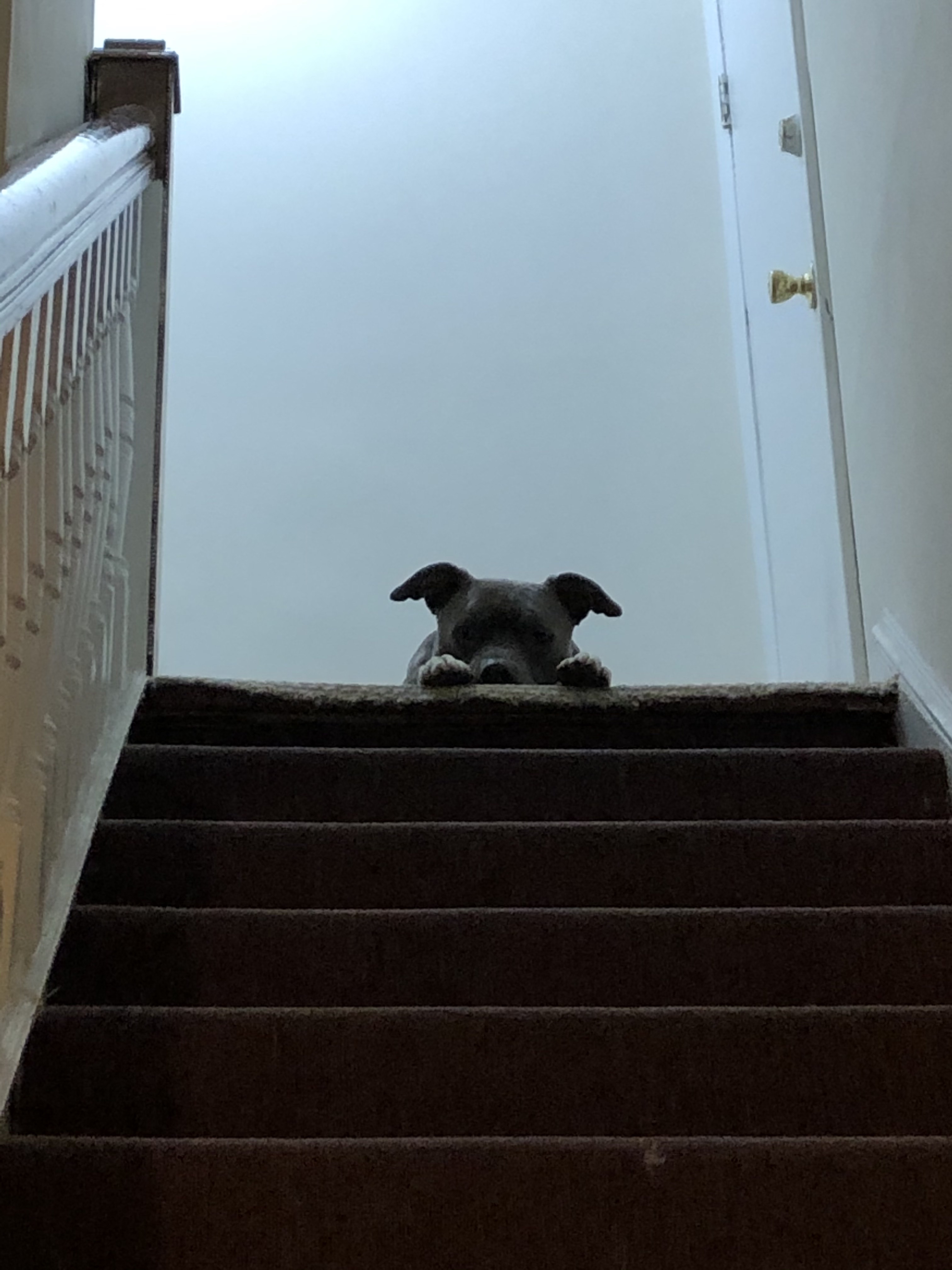
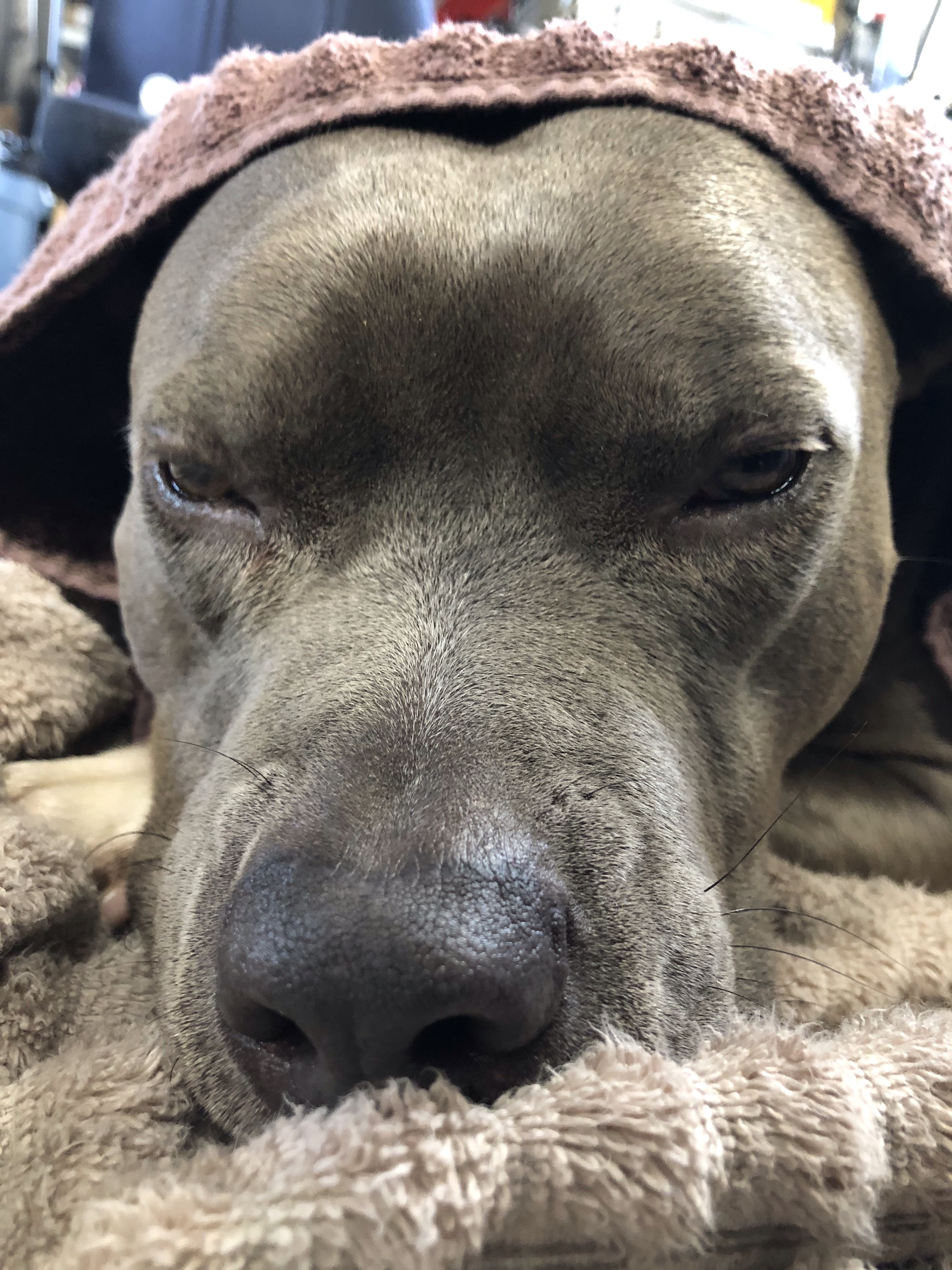
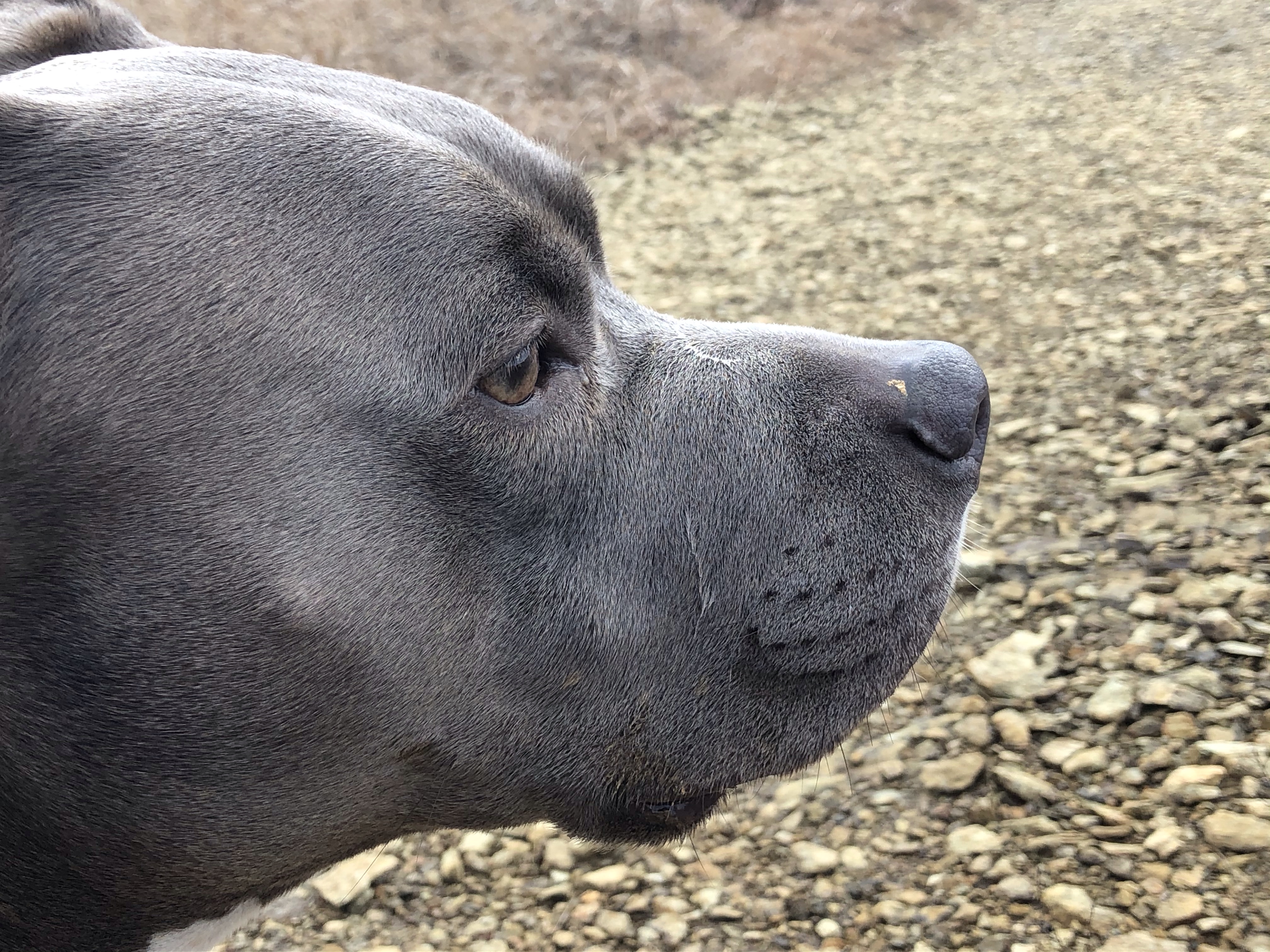
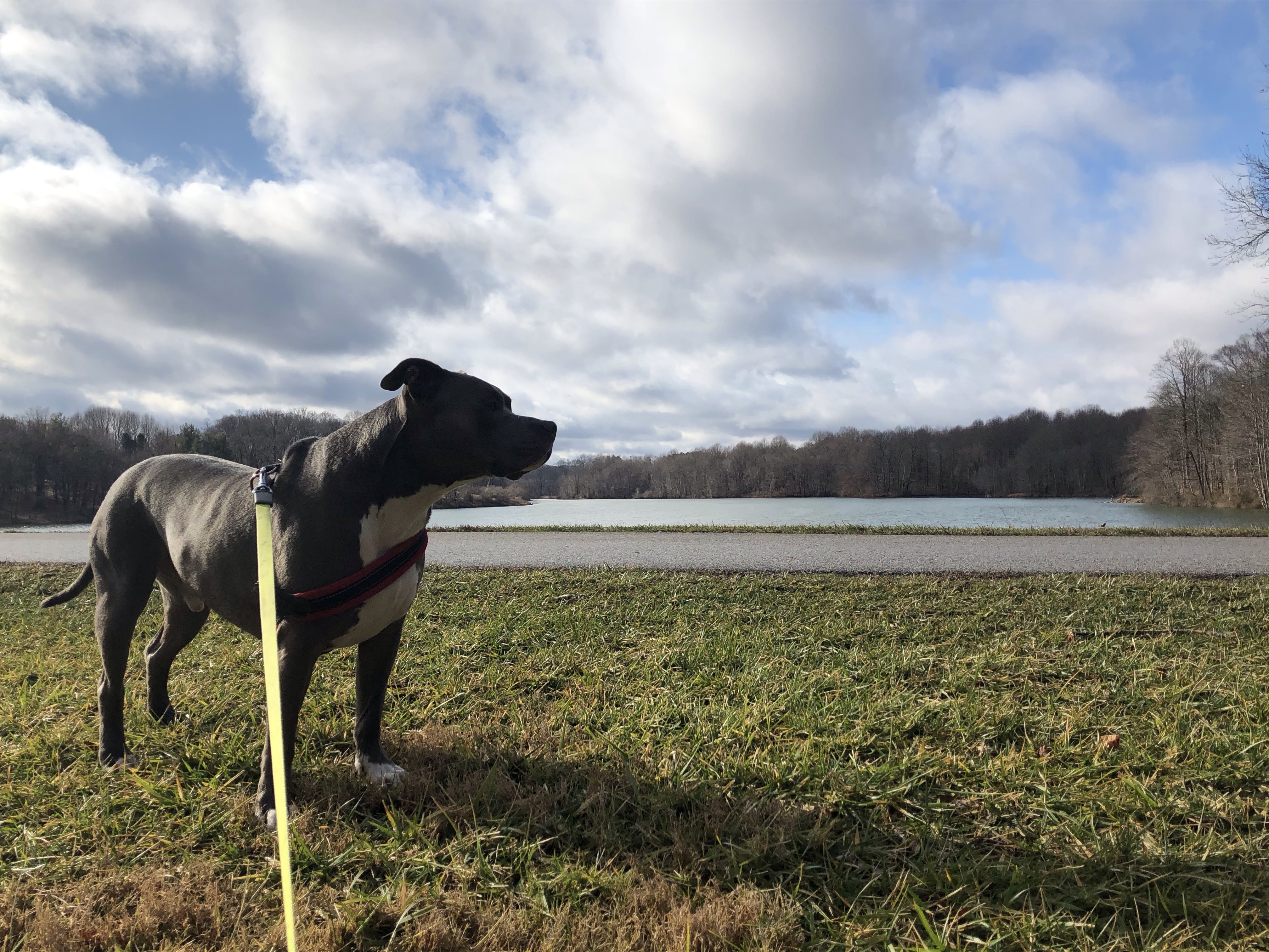
1st pic….Mag chillin’ on the couch waiting for me to be ready at 7:55am.
2nd pic….at 7:56am after telling him that I am ready for our walk.

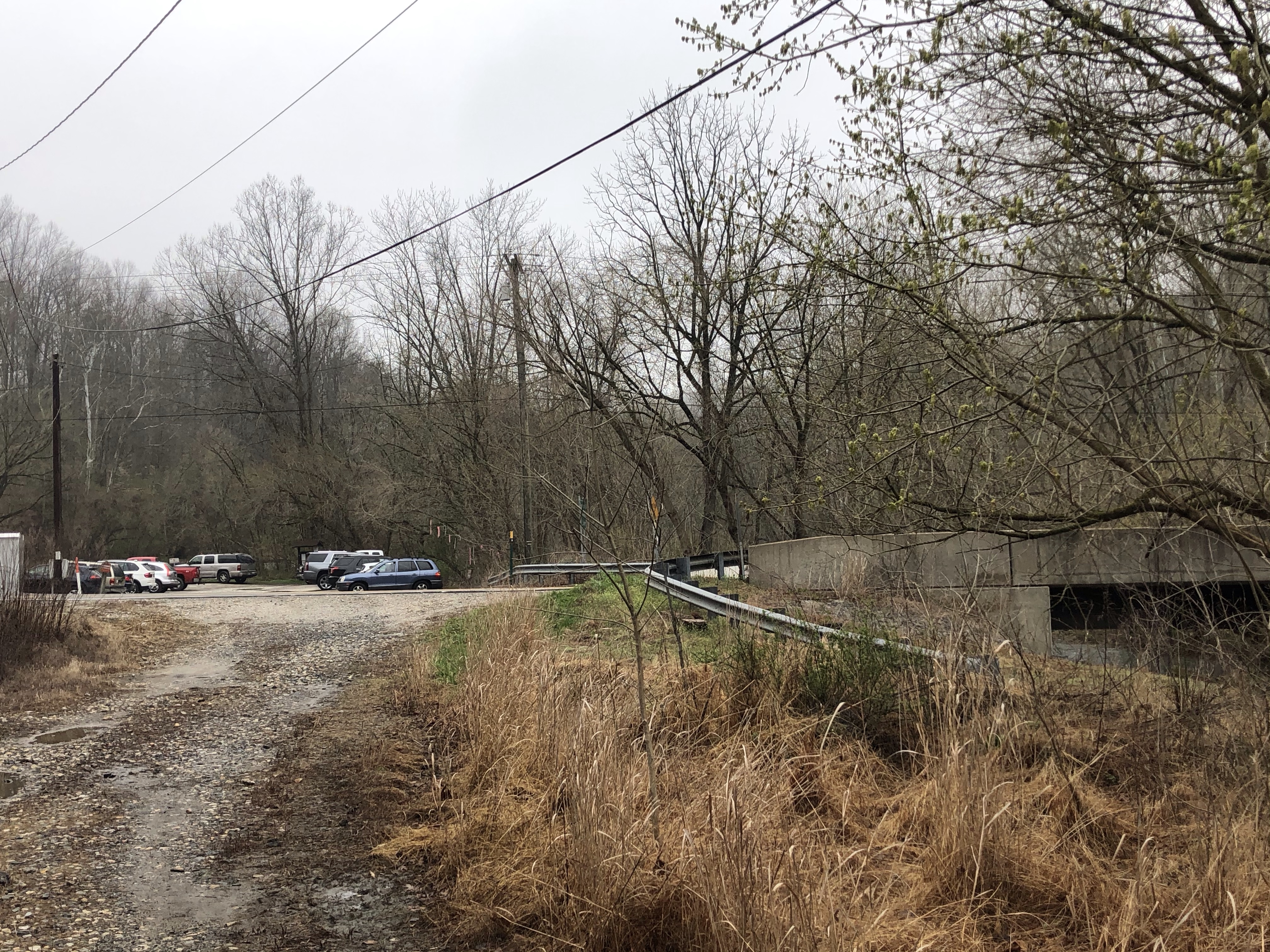
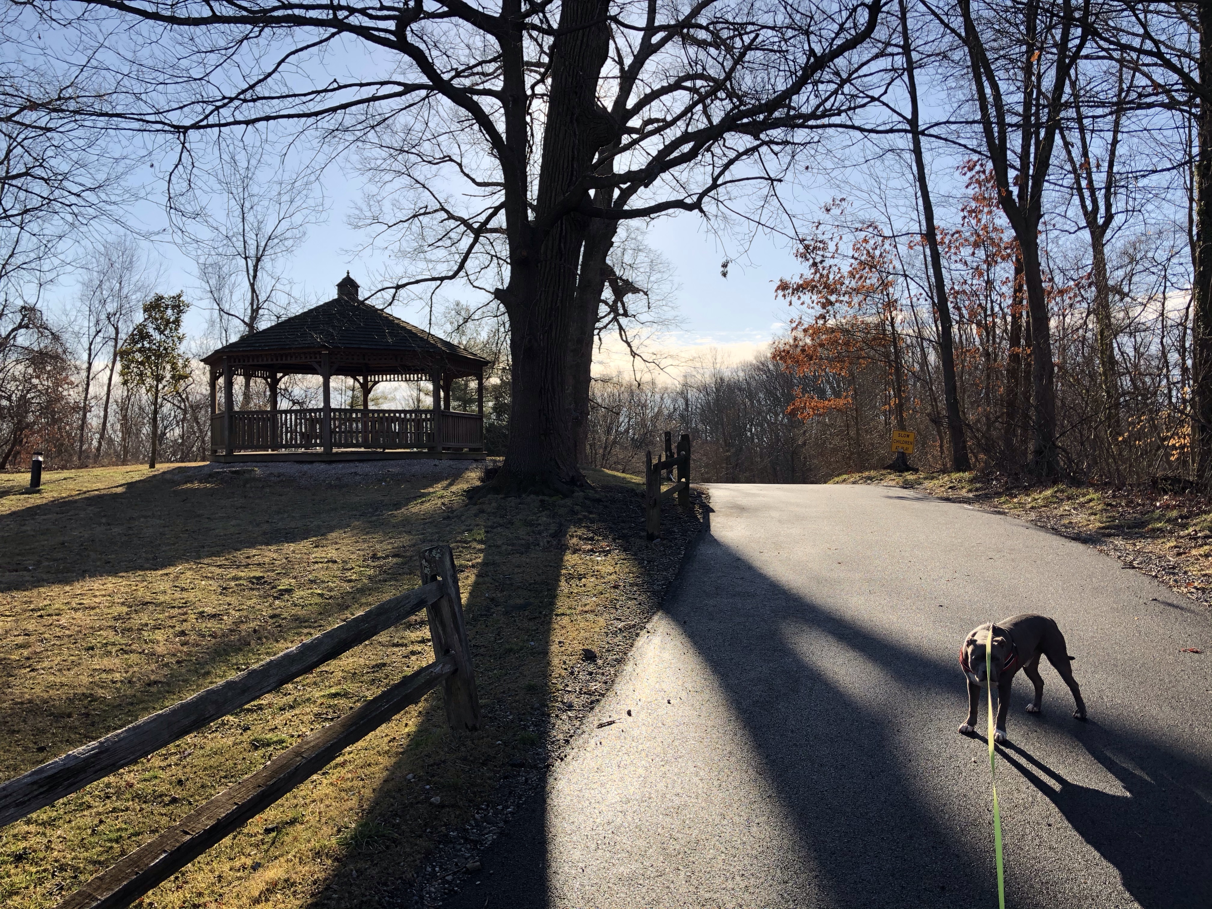
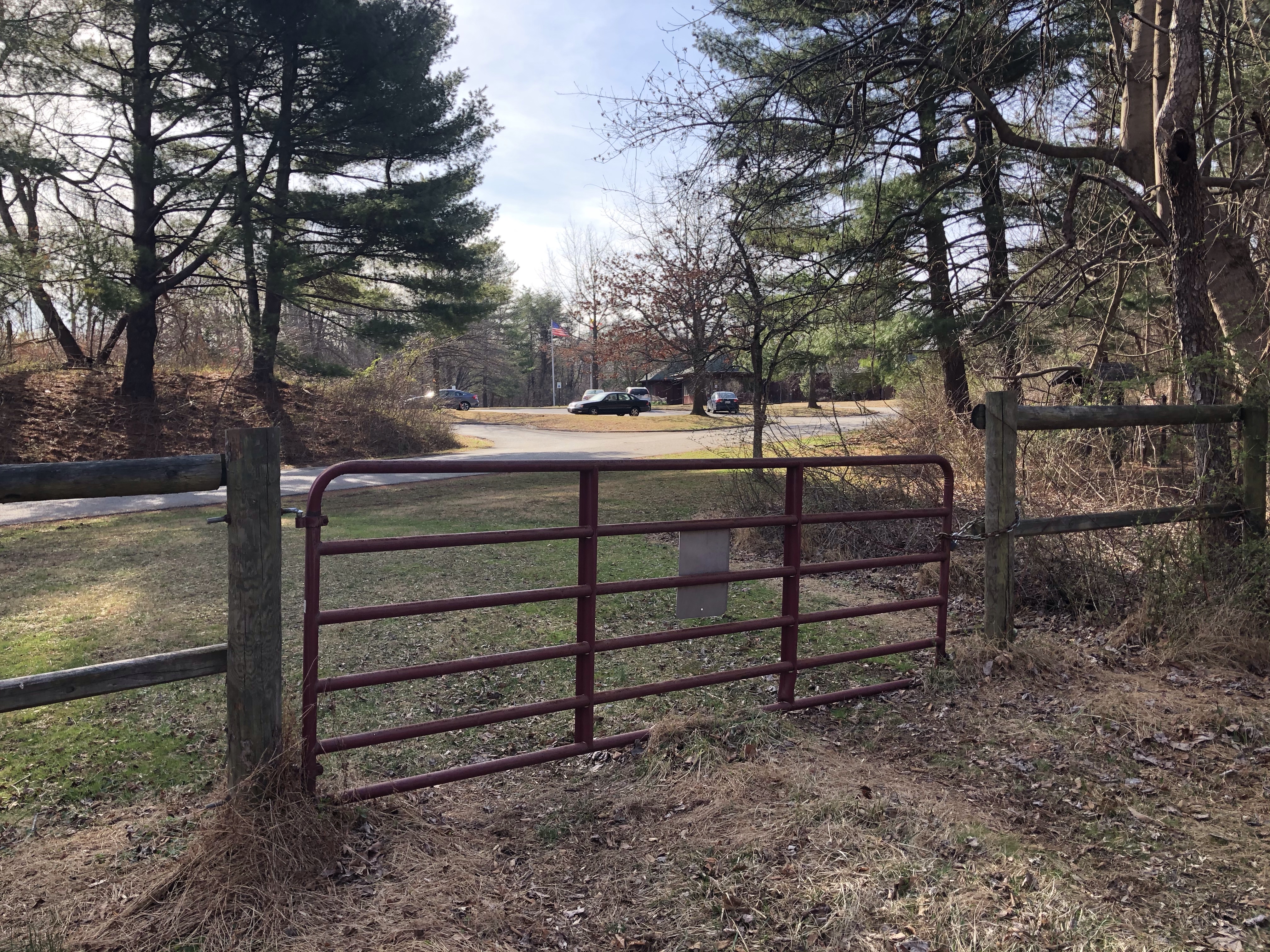
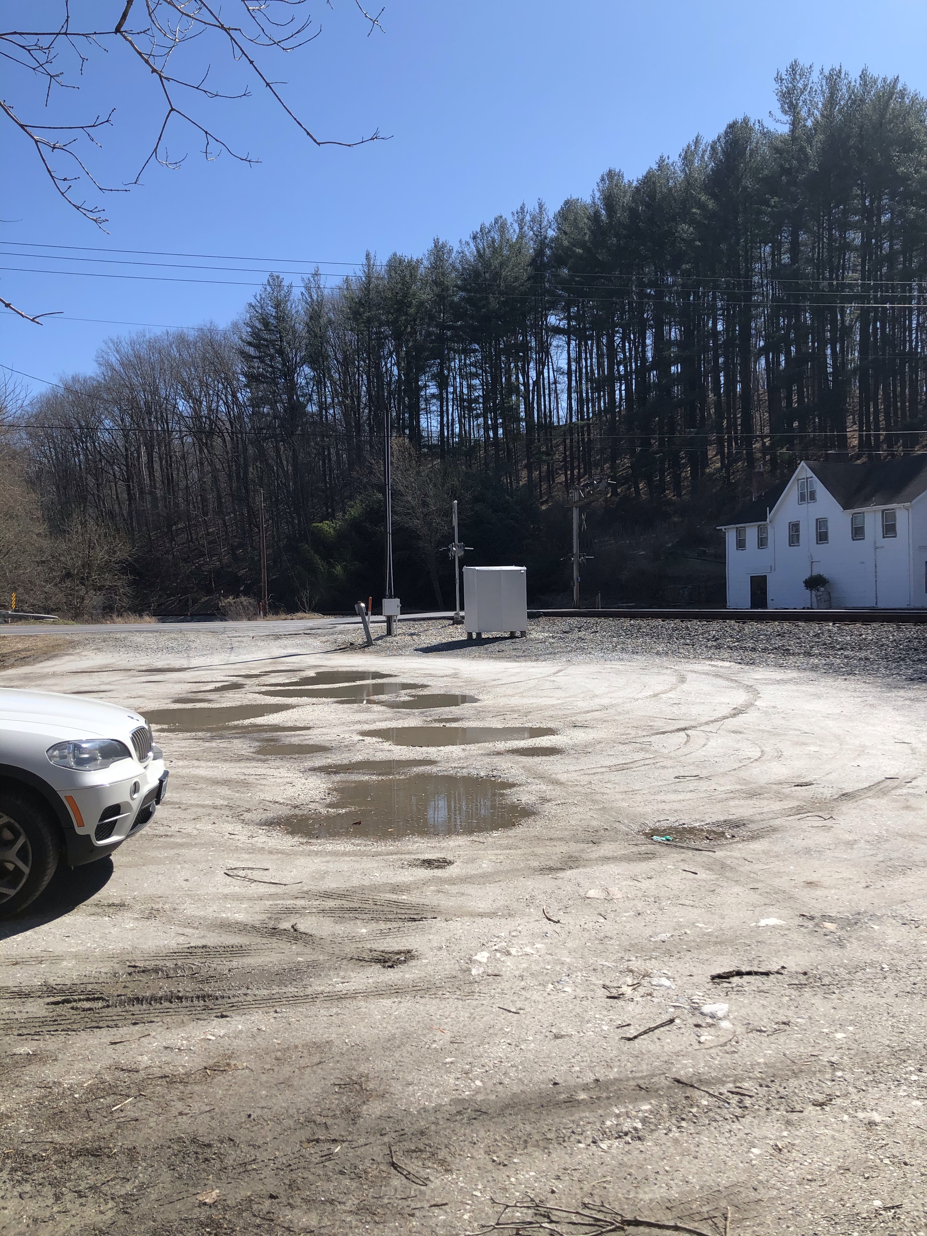
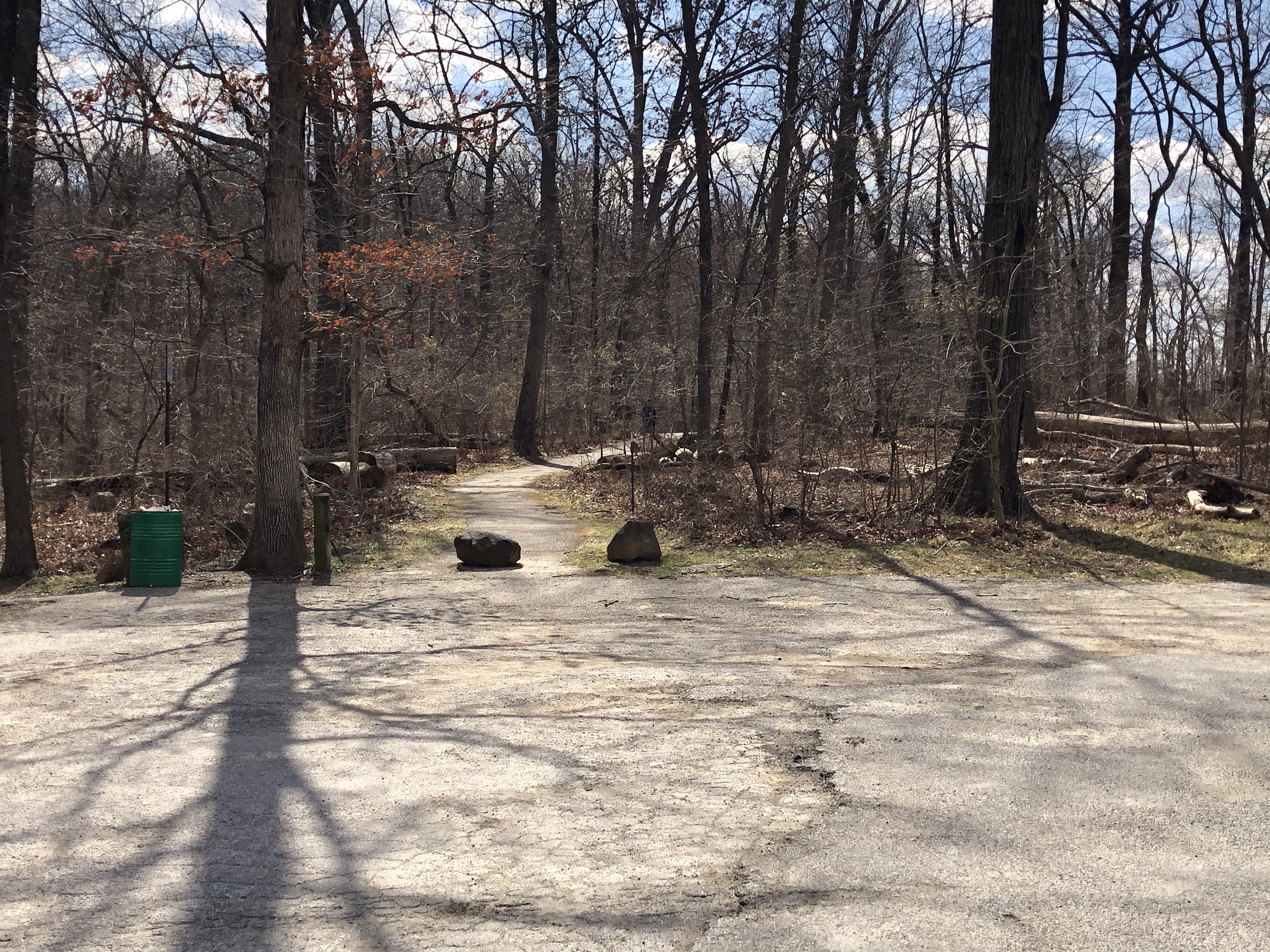
It’s an hour drive for us to get to location but we’re still lucky enough at 10am to find parking at my target lot on Foxville Rd. Both parking areas are small and on opposite sides of the road. We’ve parked at the trailhead….
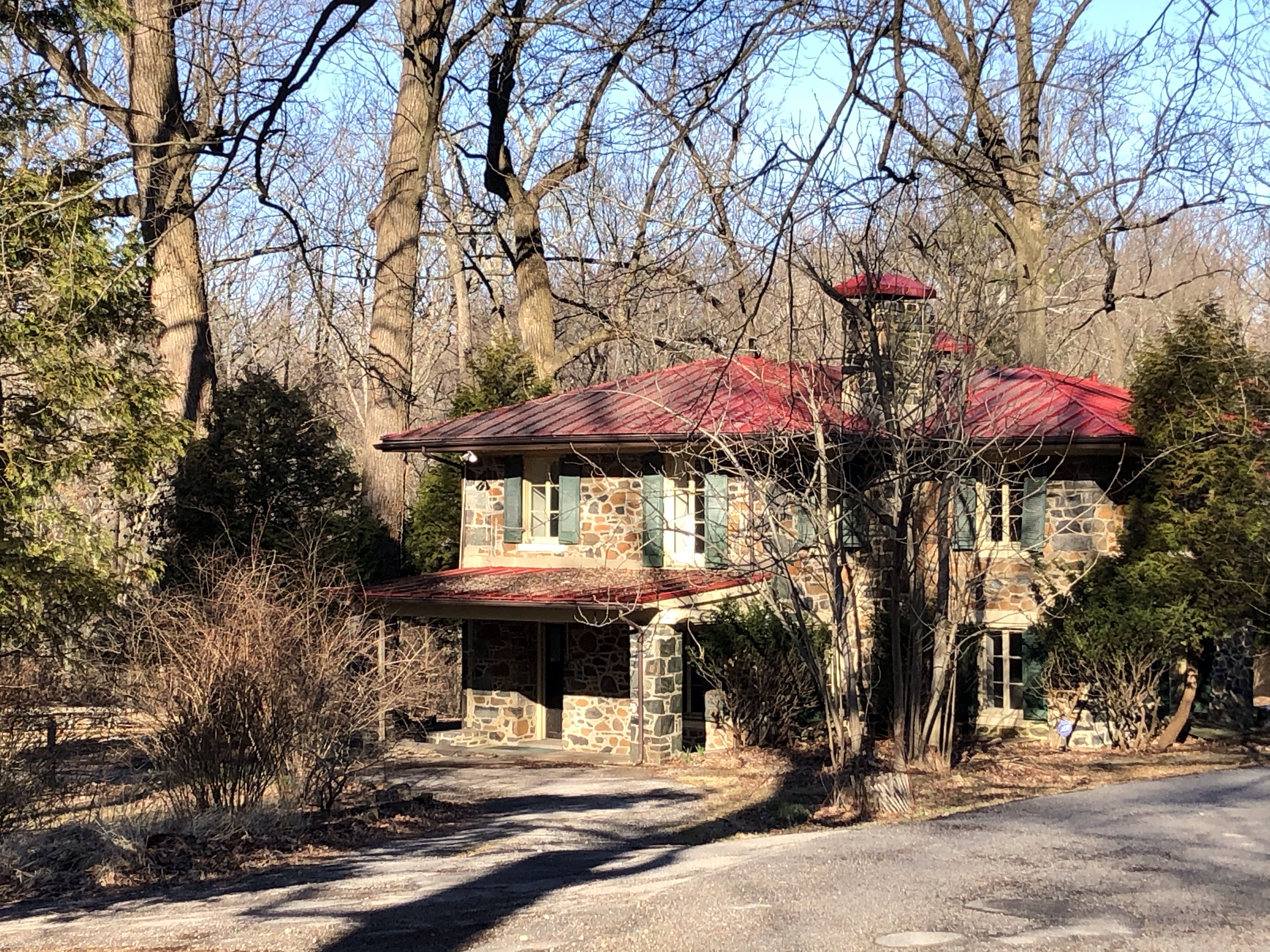
….while across the street at the Park Headquarter’s entrance are more spots. If no luck finding any space here, heading up the road about another mile or so you’ll find a bigger area at the Visitor Center 127 Park Central Rd. Getting here early is key though! Latecomers will have to park on the street….yikes.
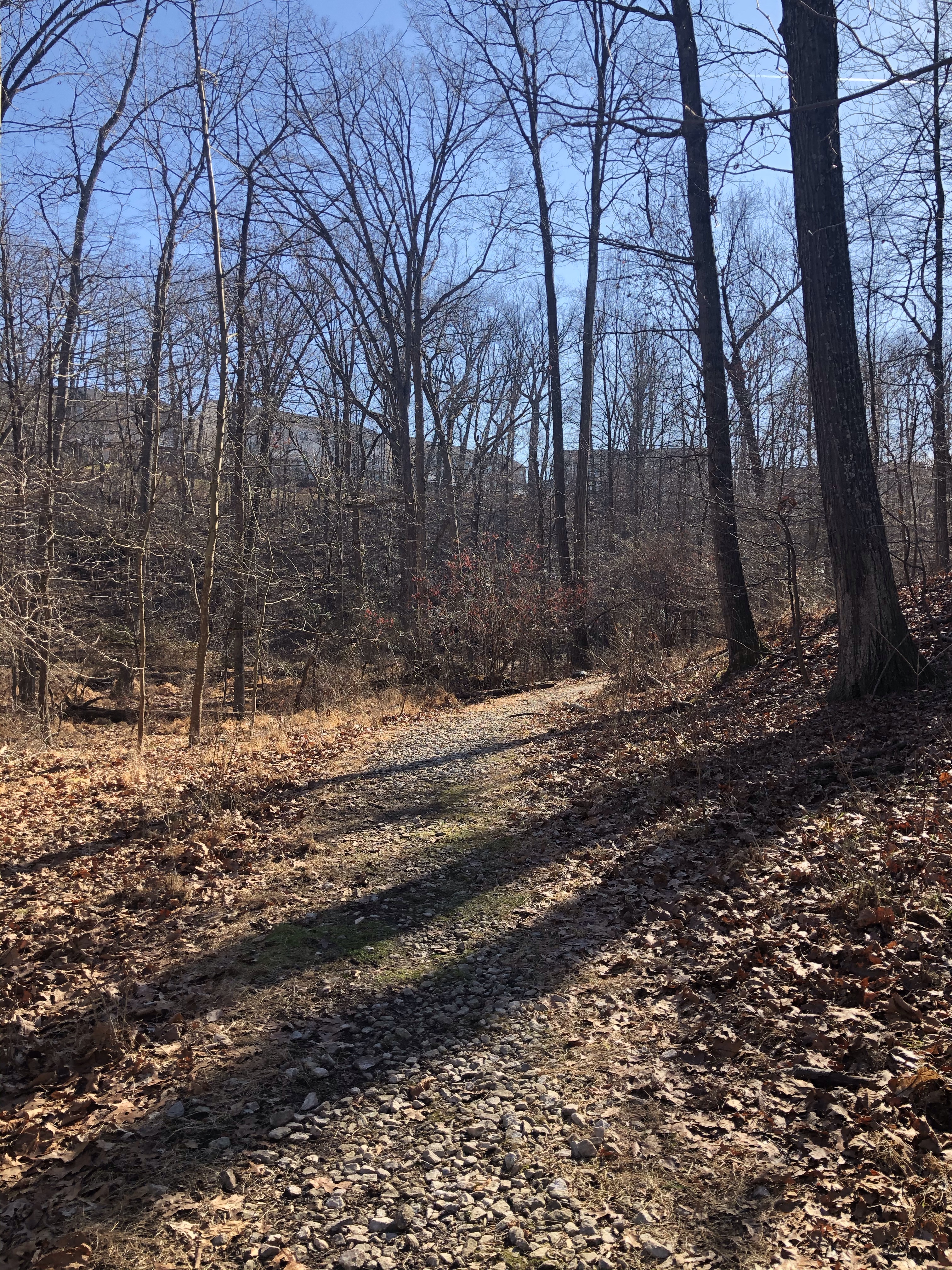
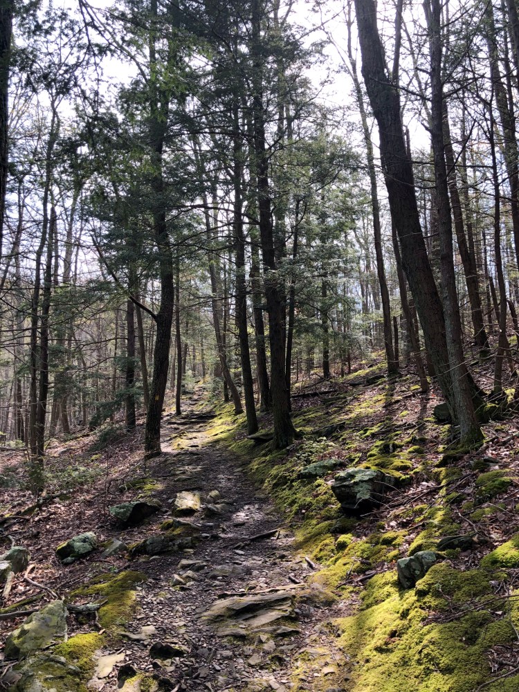
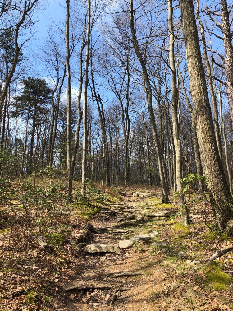
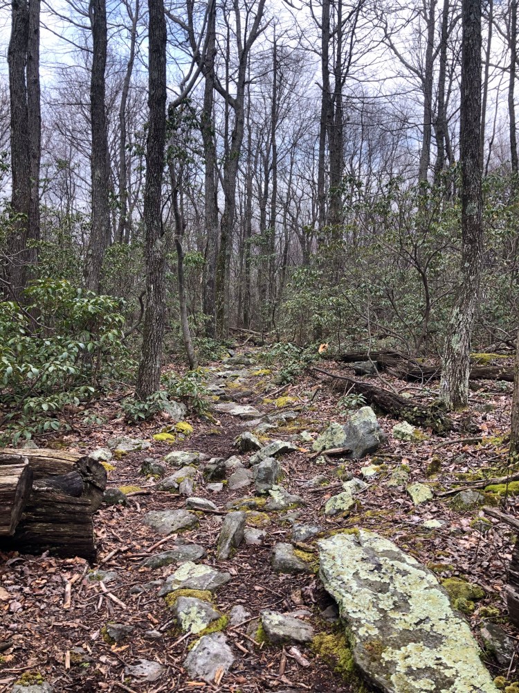
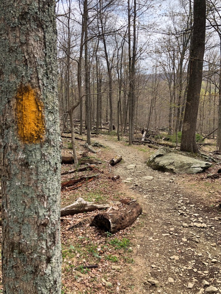
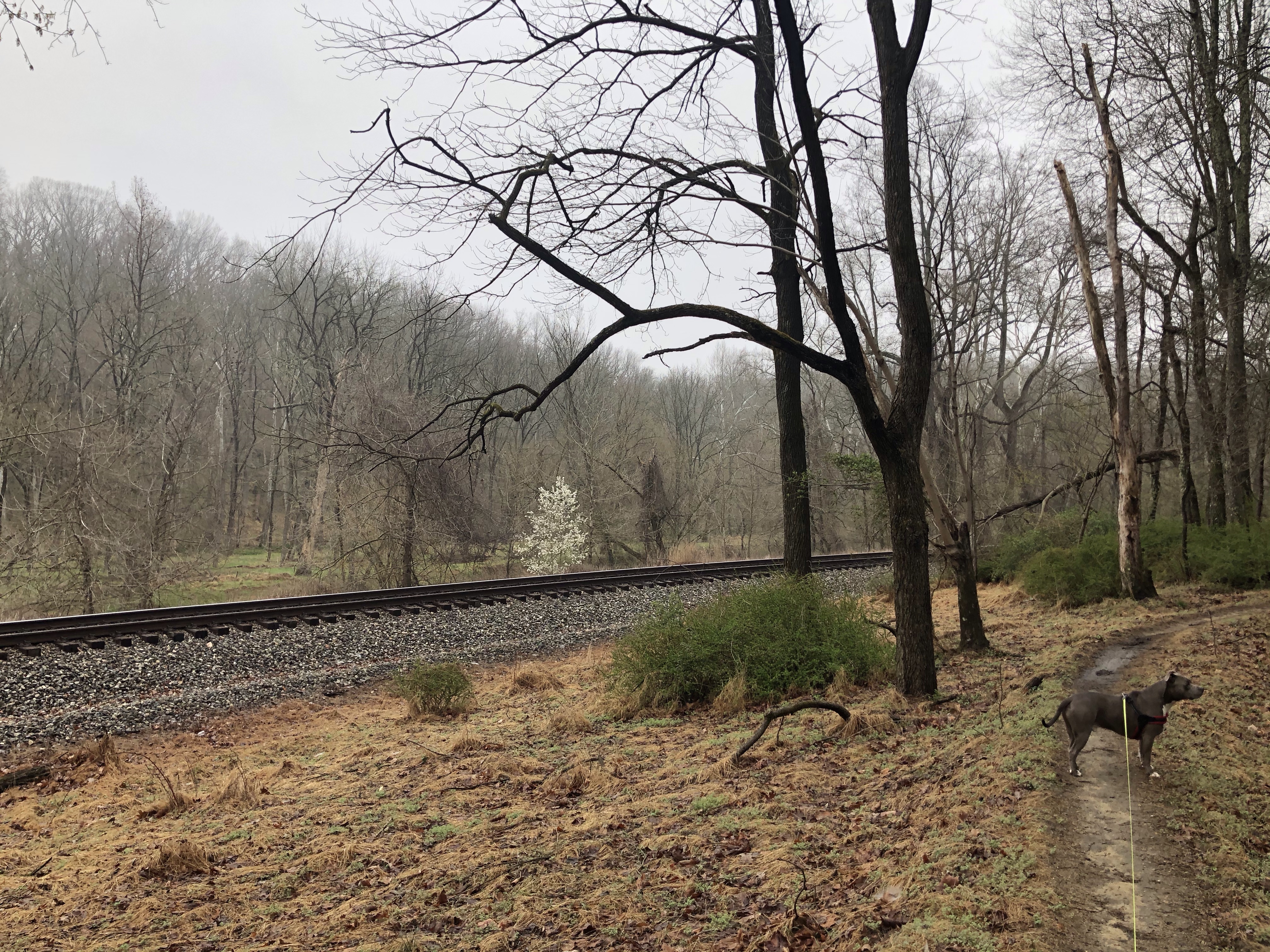
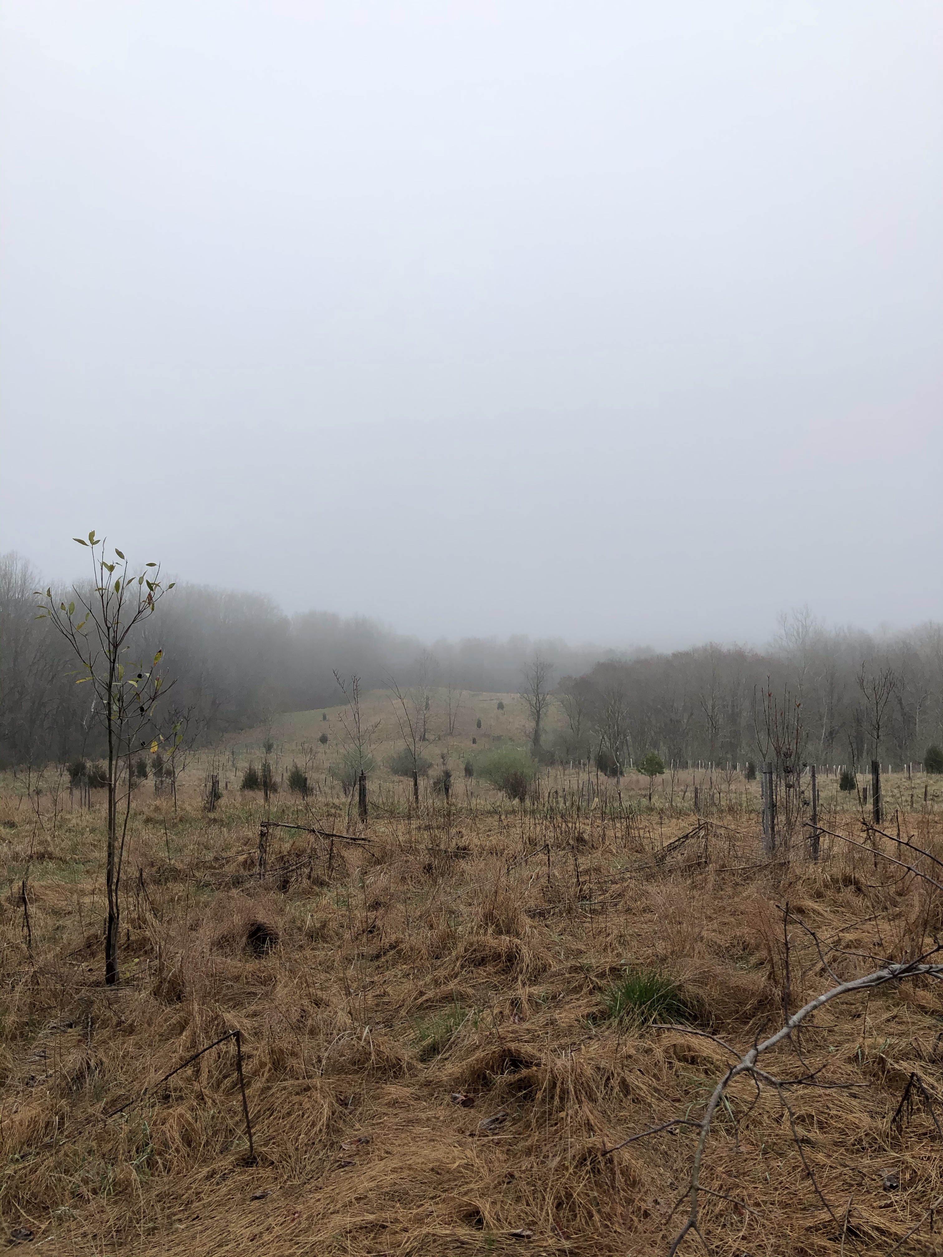
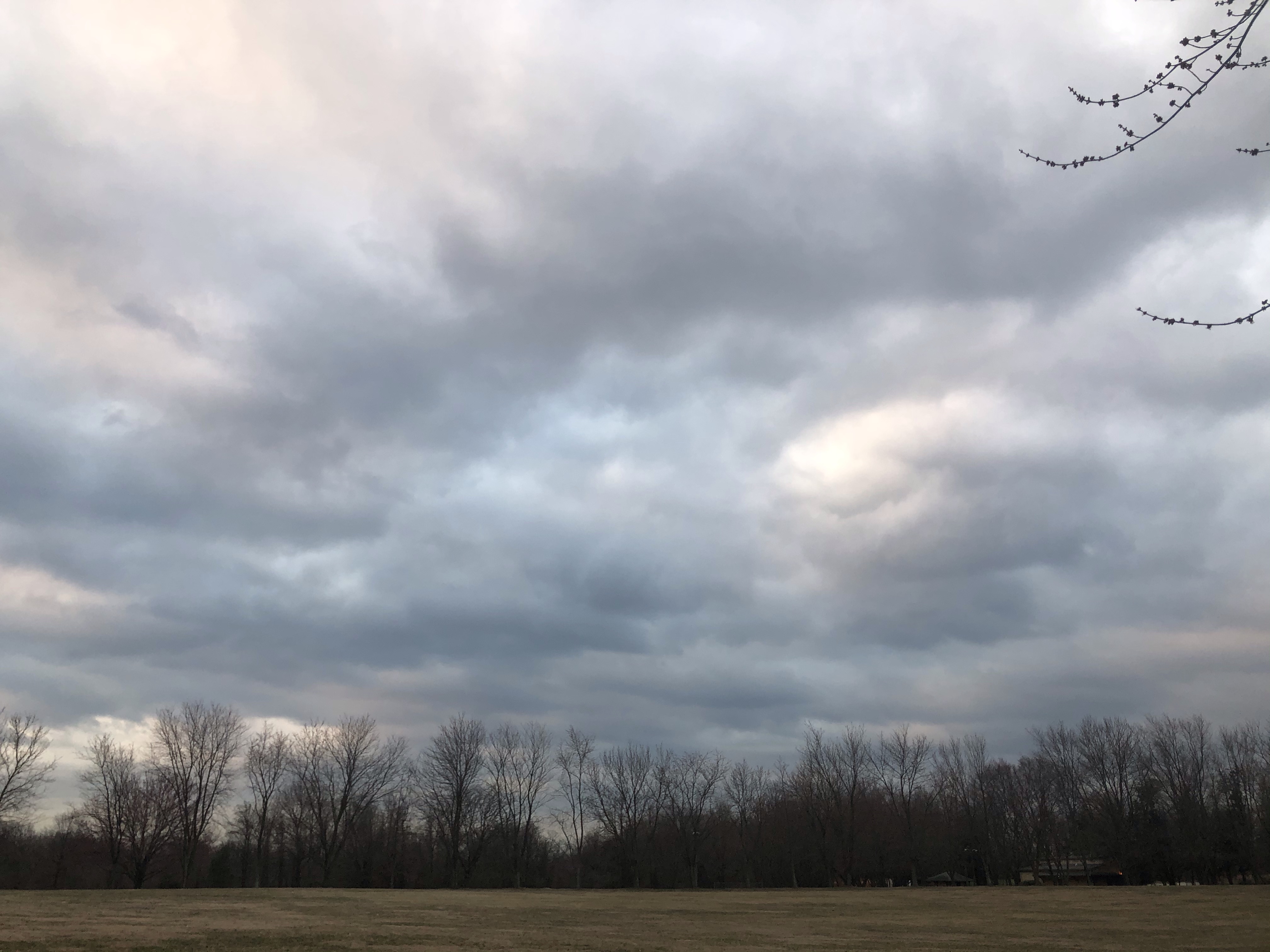
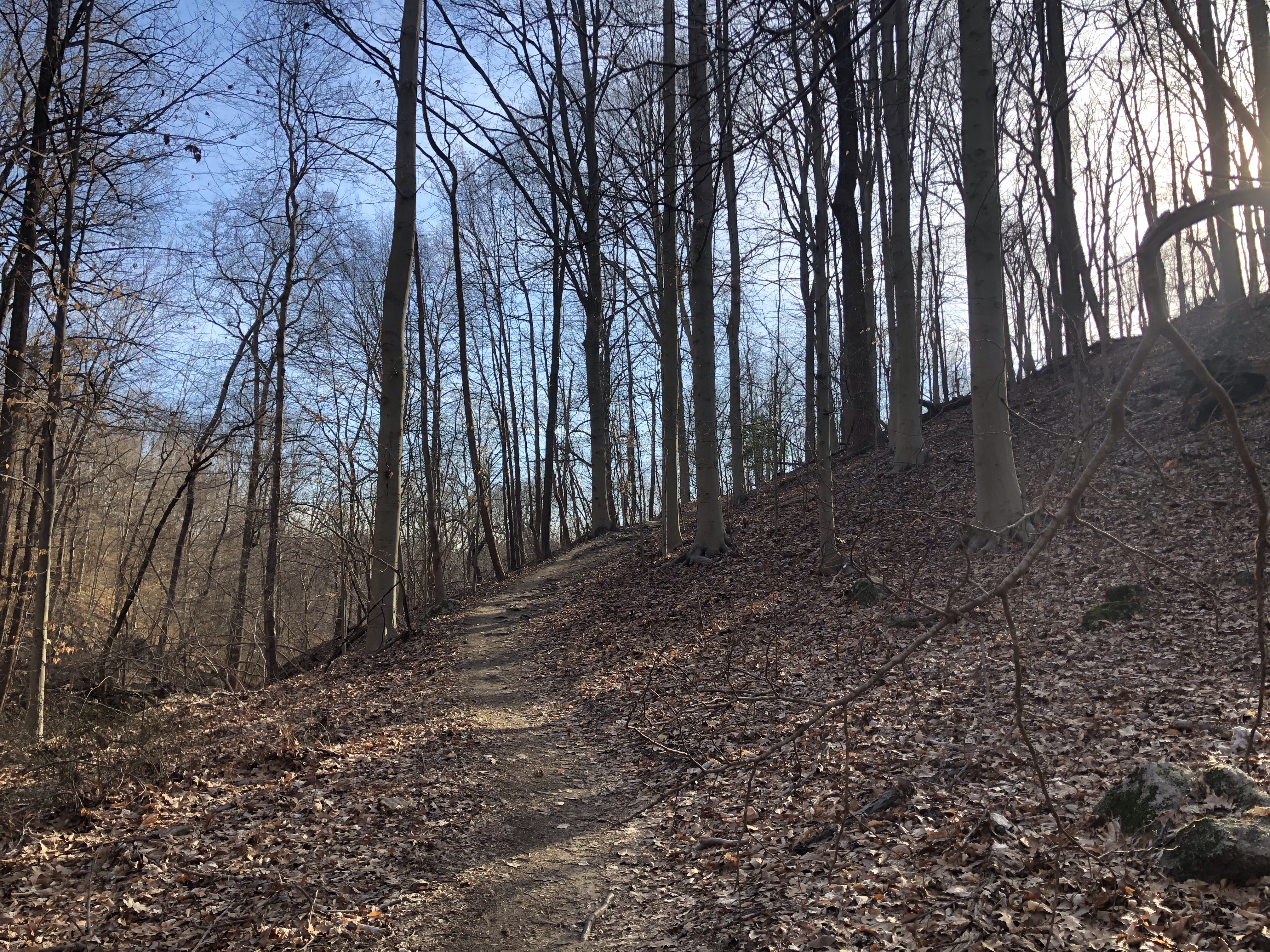
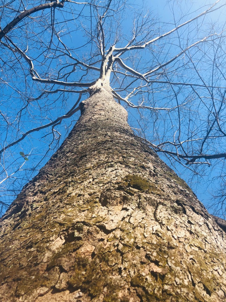
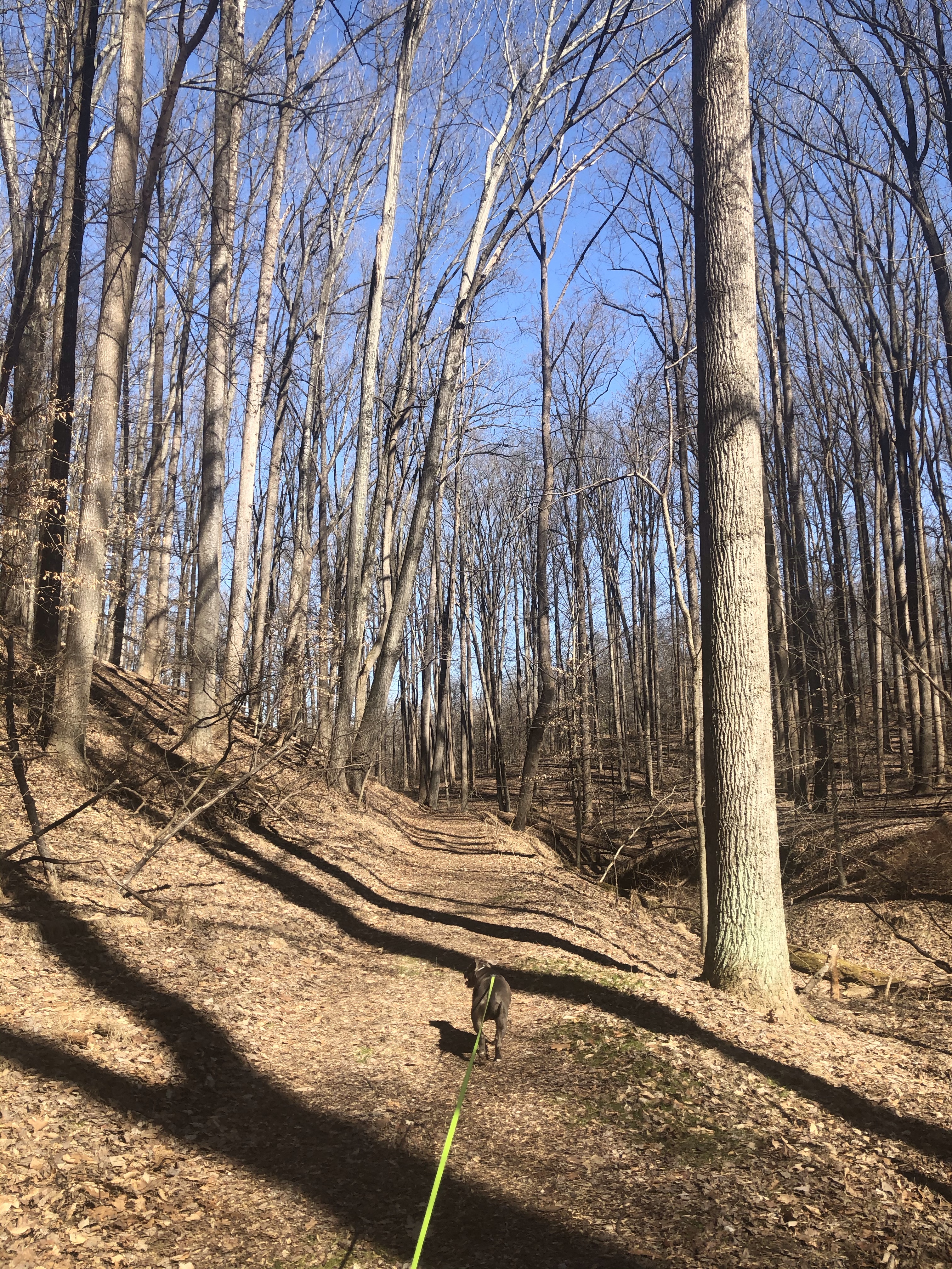
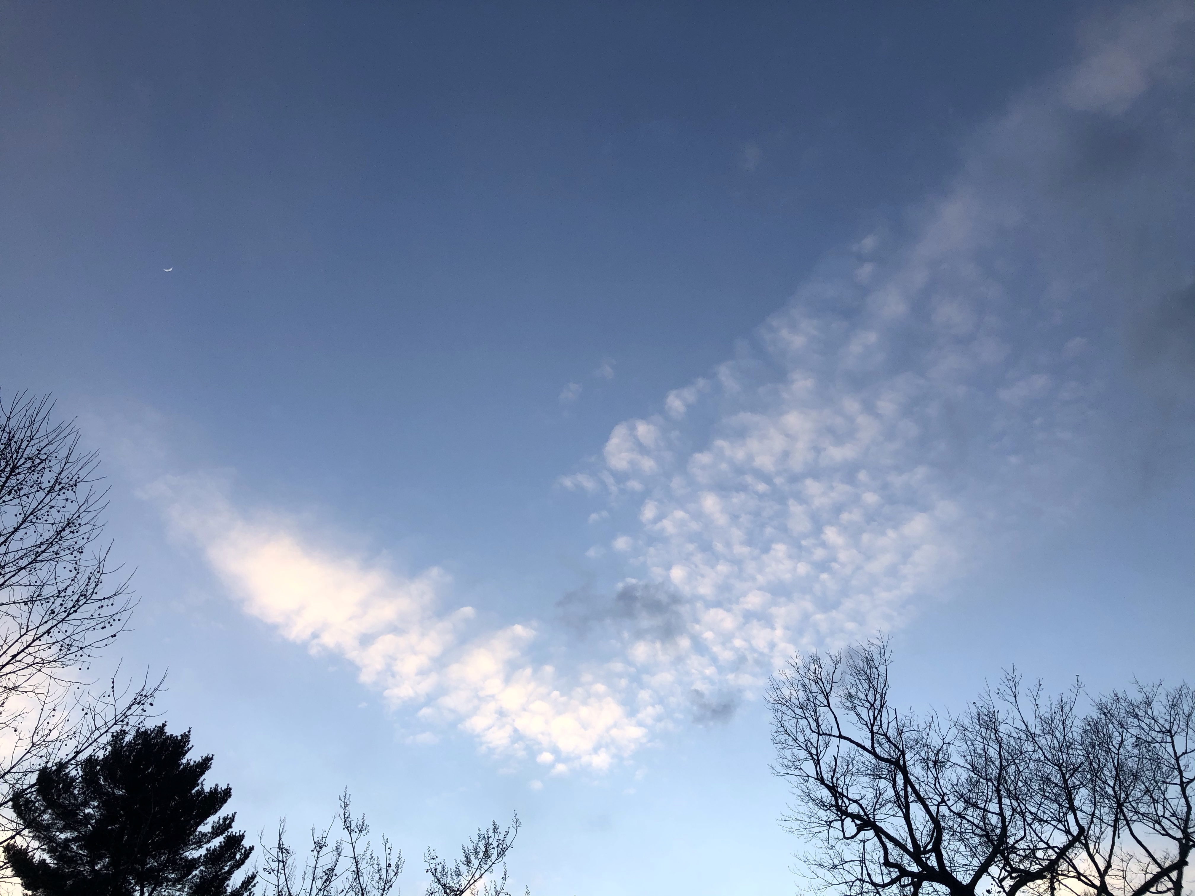
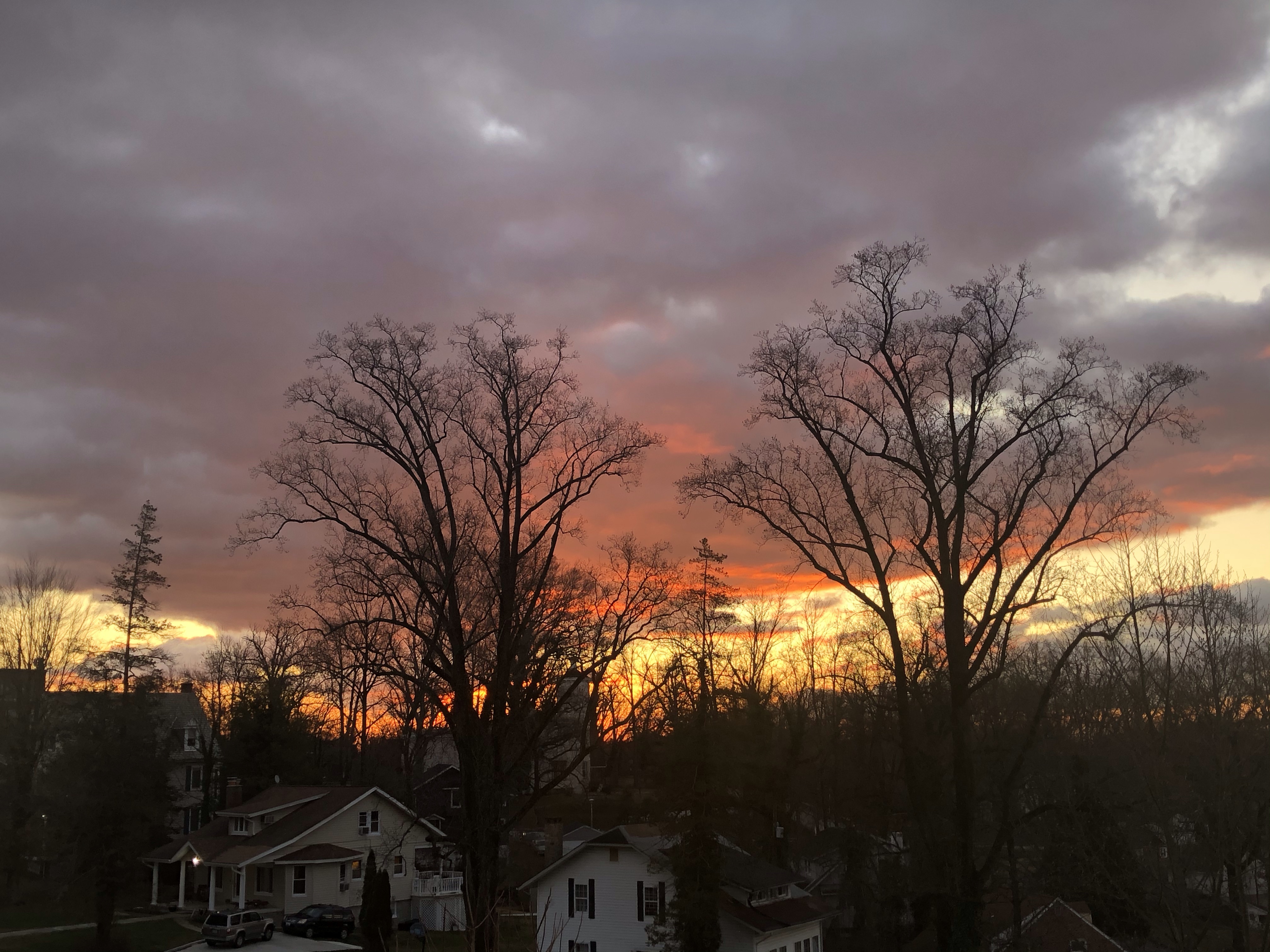
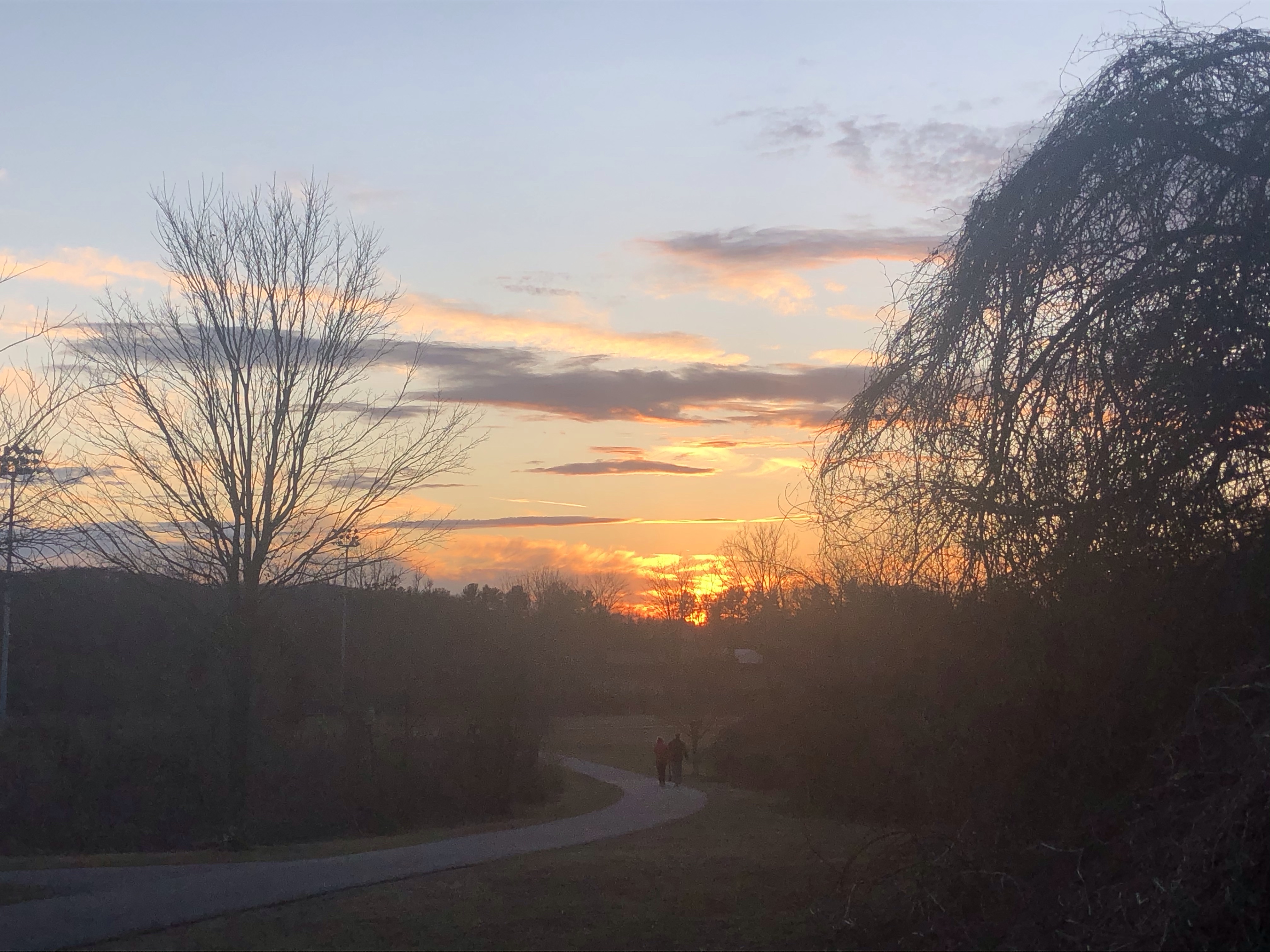
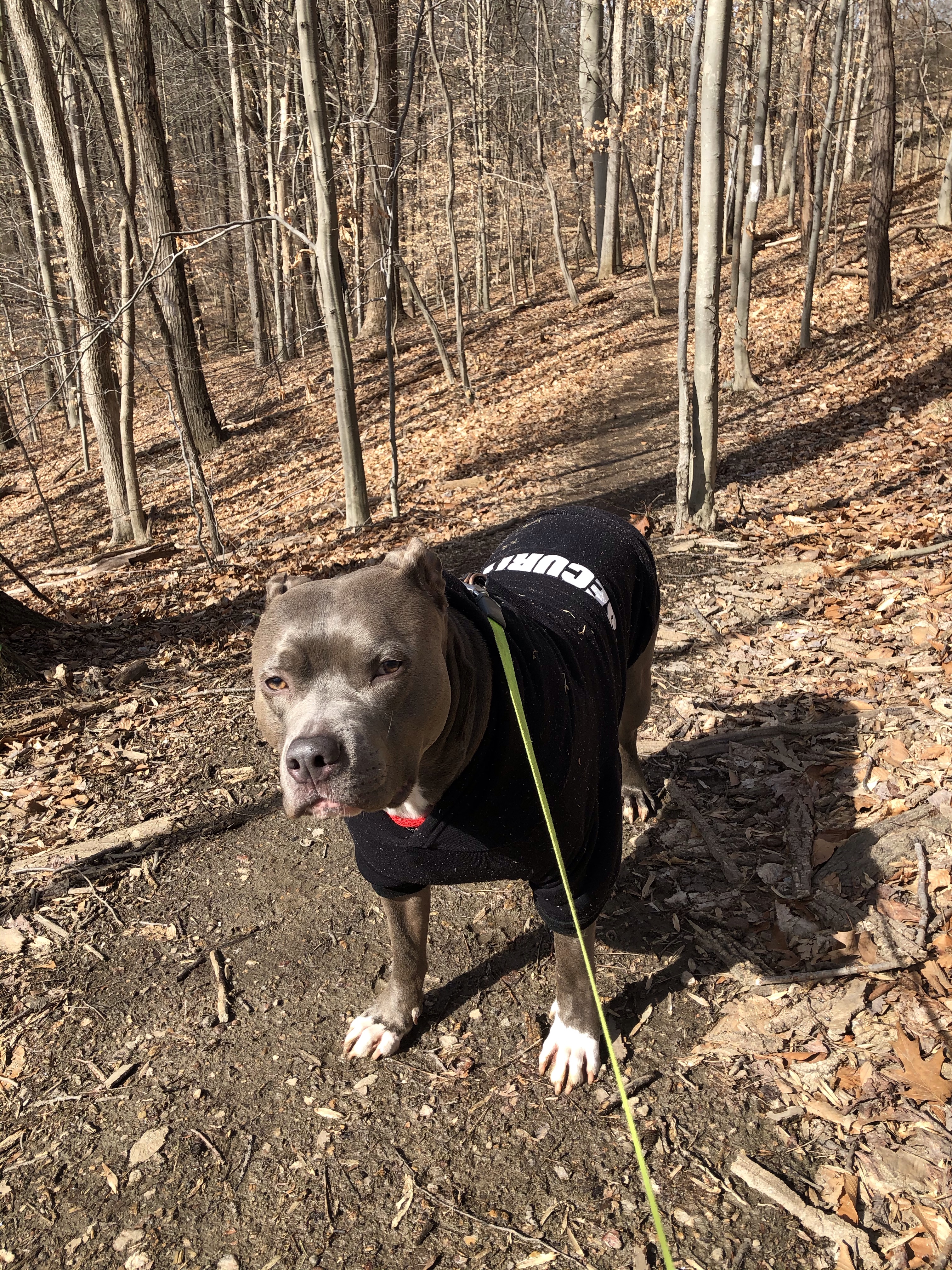
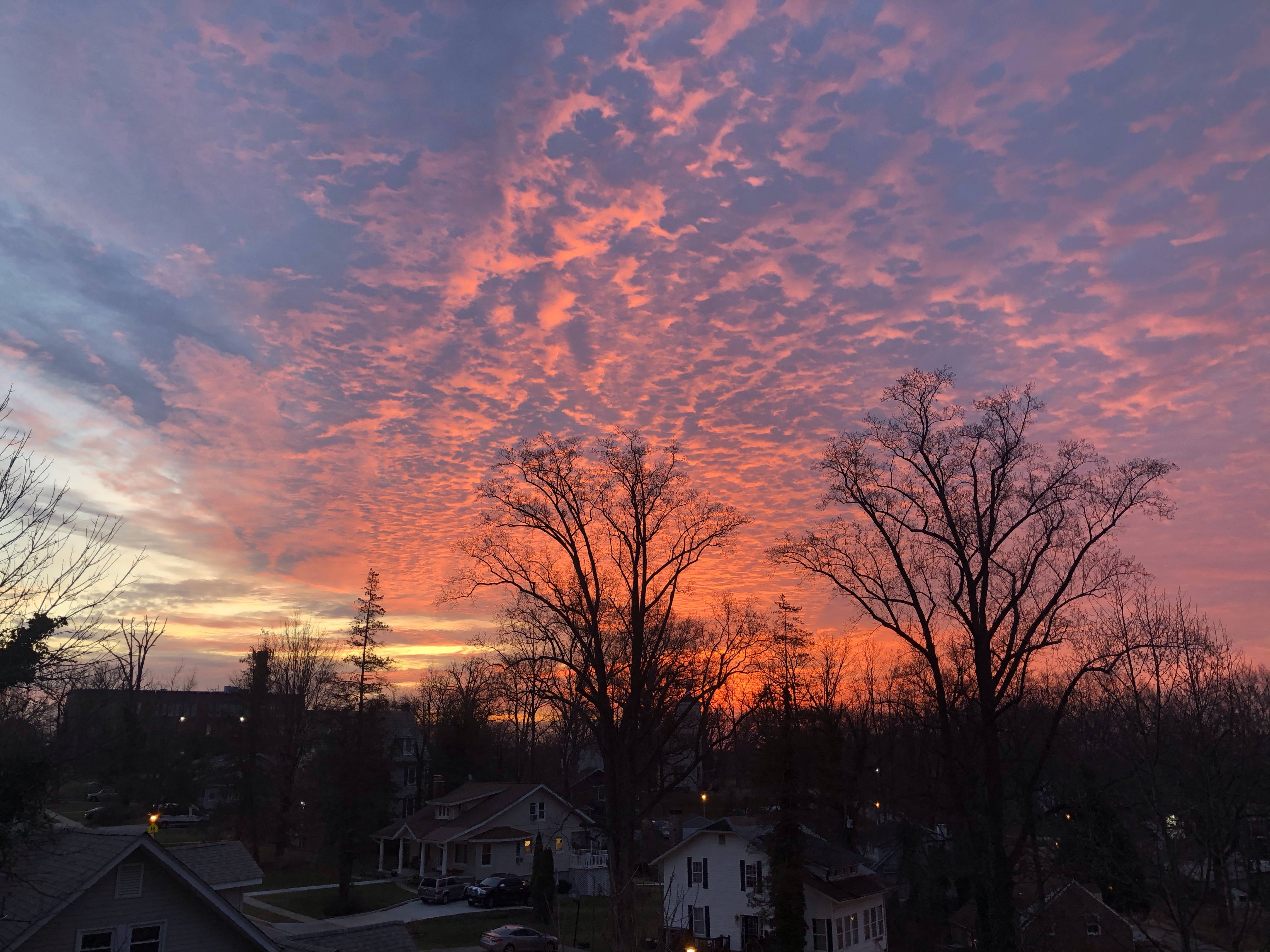
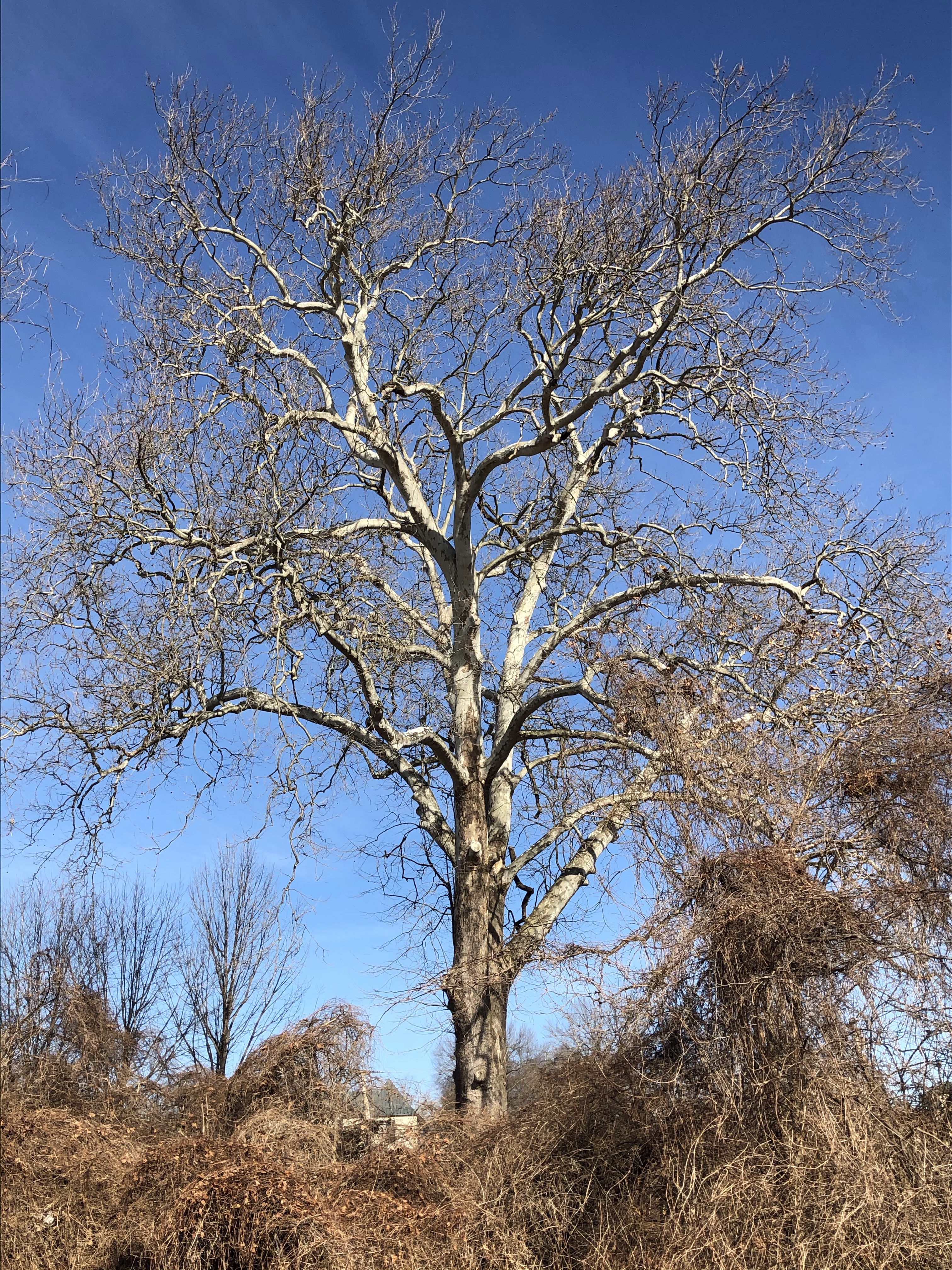
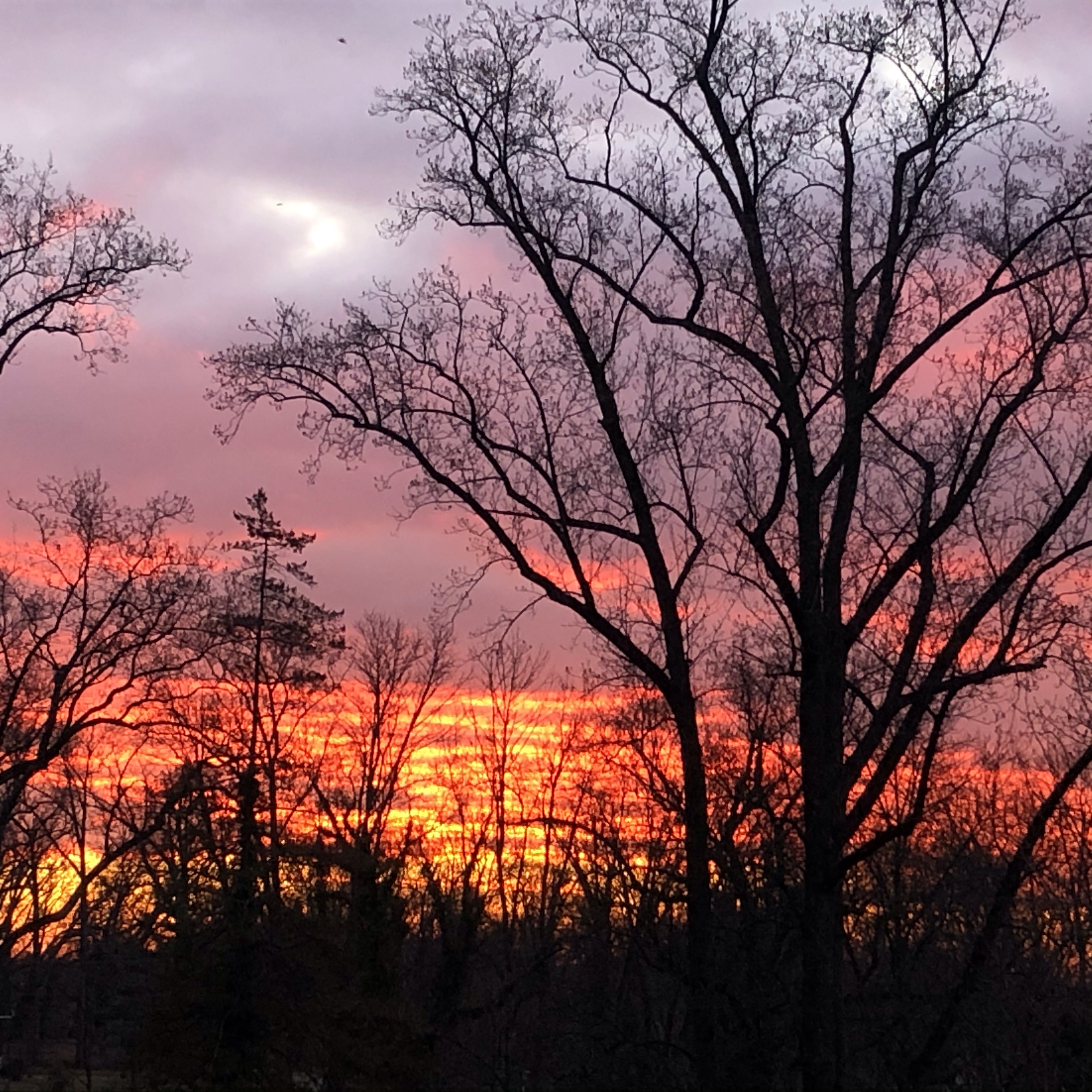
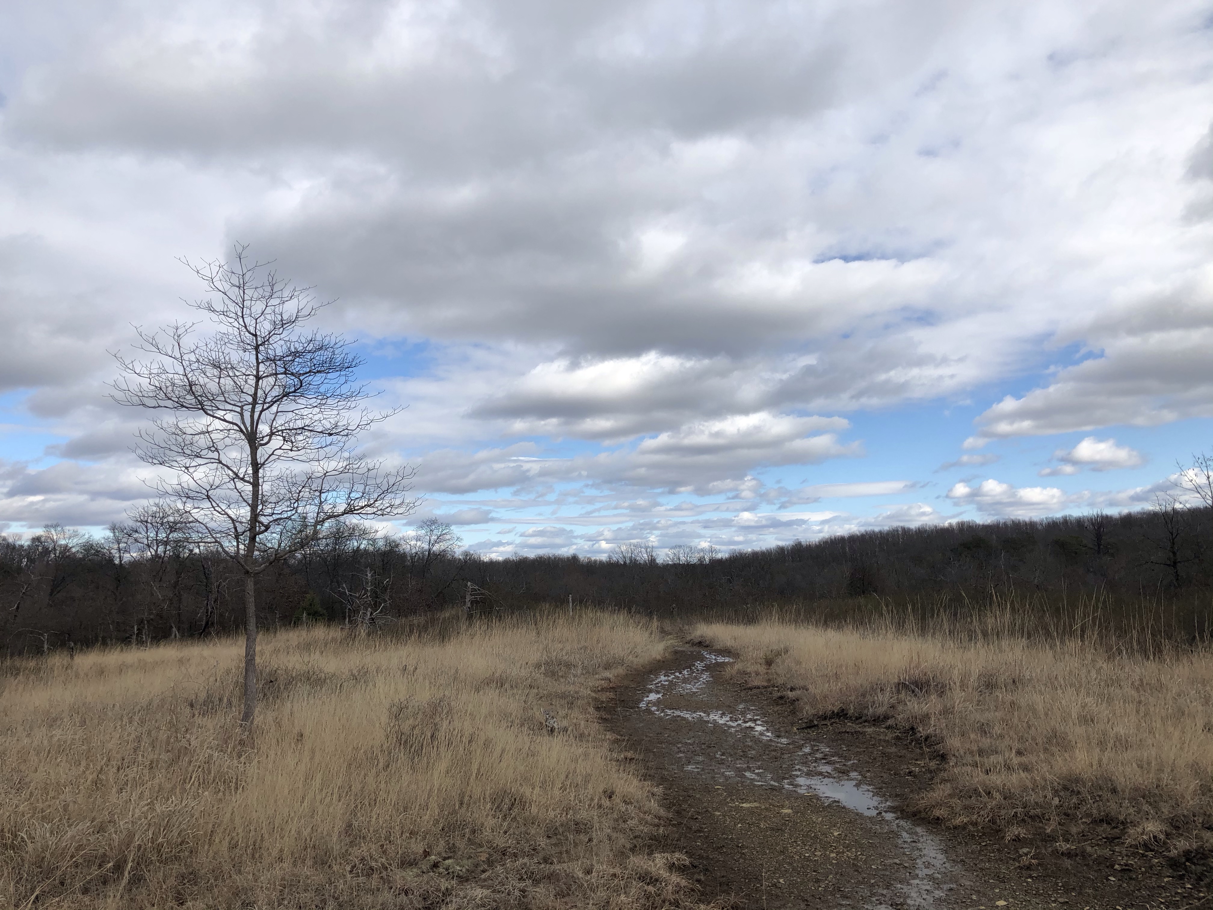
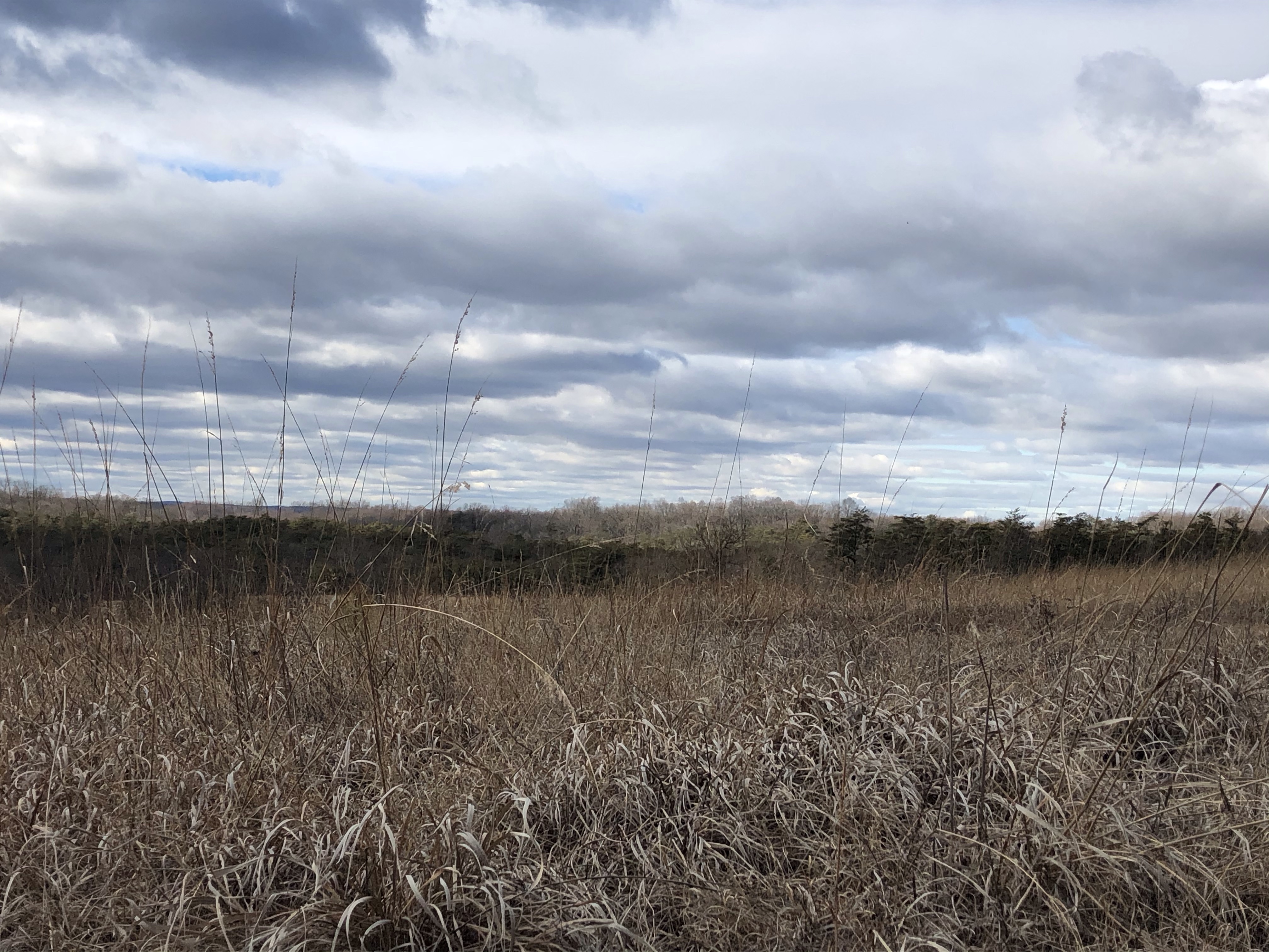
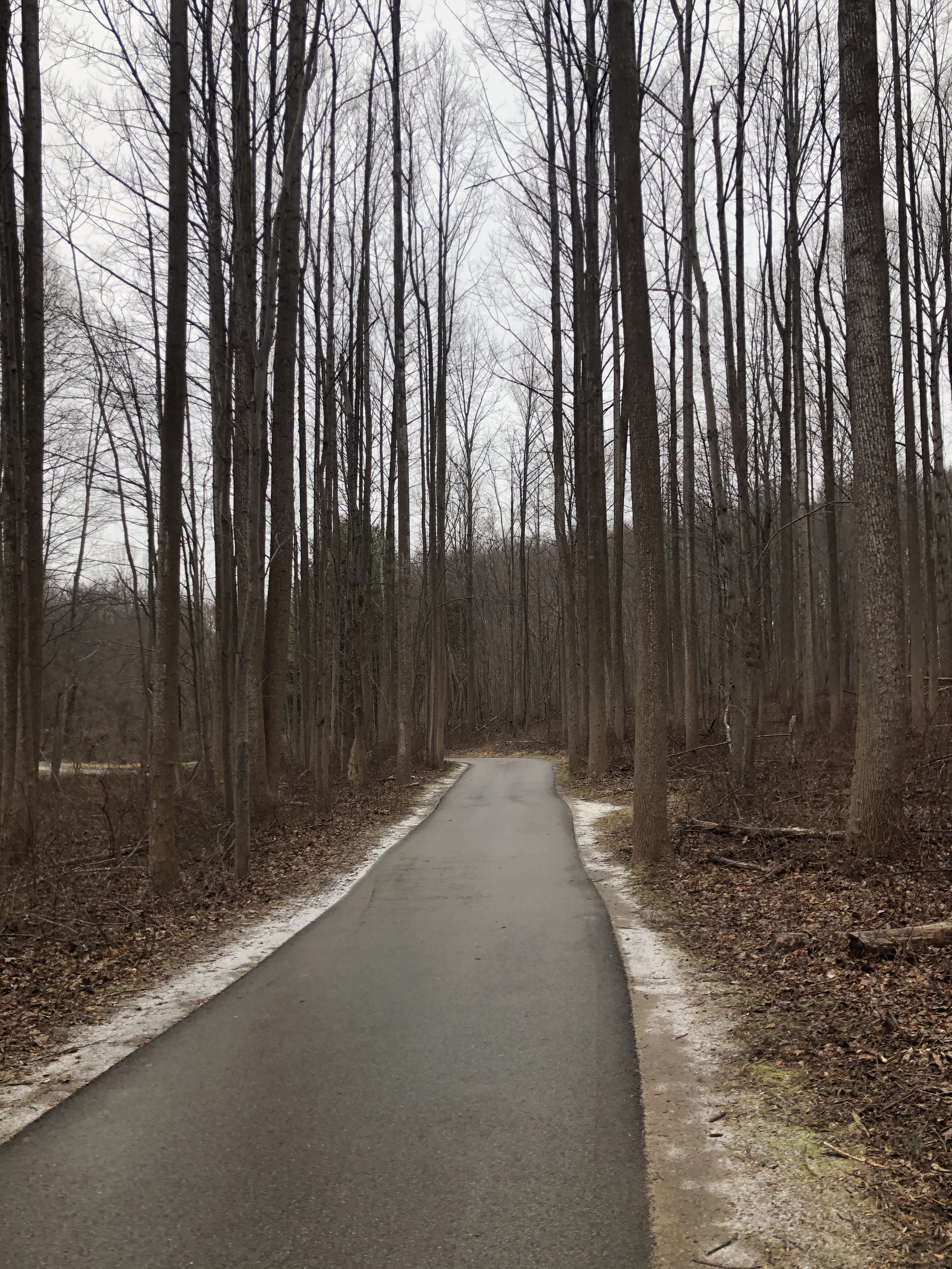
Beautiful sunny day, around 58F (14C). The trailhead starts out with a very stoney uphill hike lined with tall fir trees. So lovely!
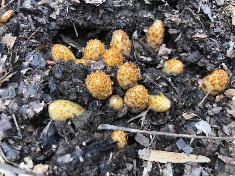
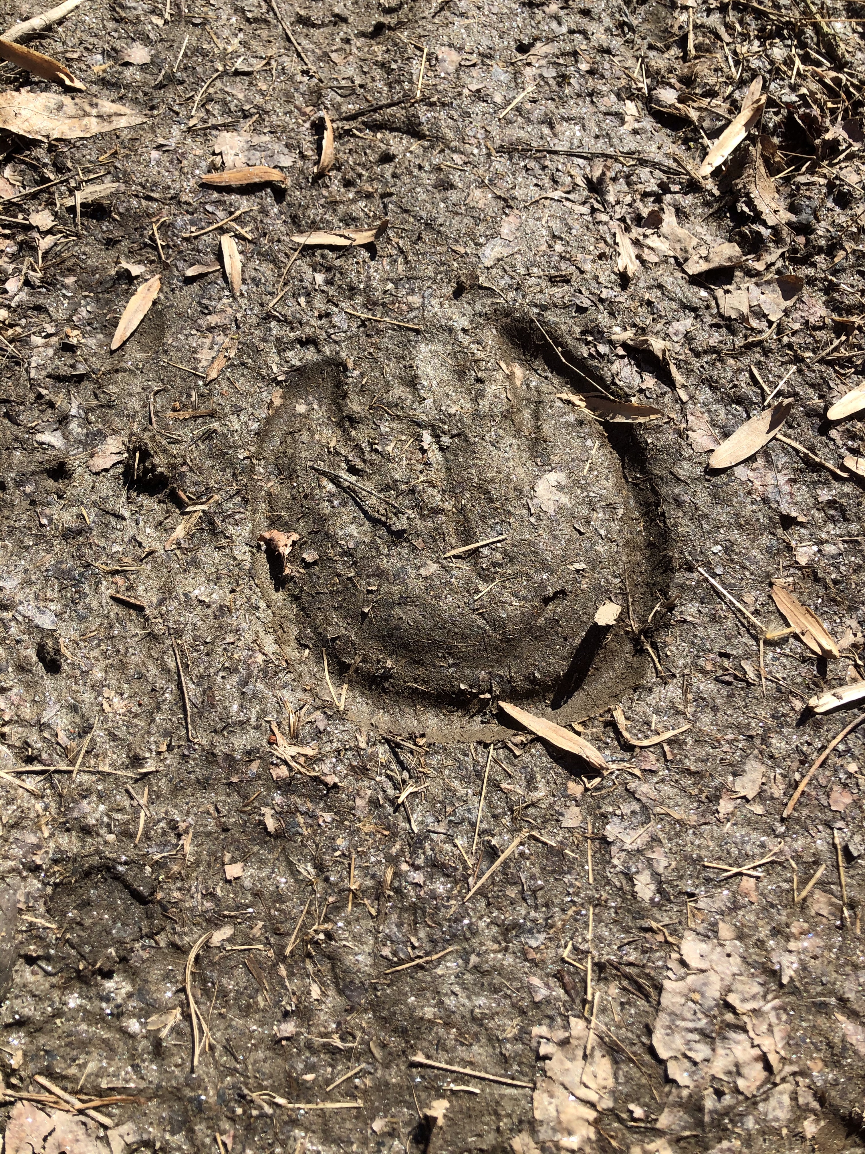
In the right uphill S-es we come across some people poking around in the ground-cover looking for something. I wonder what….
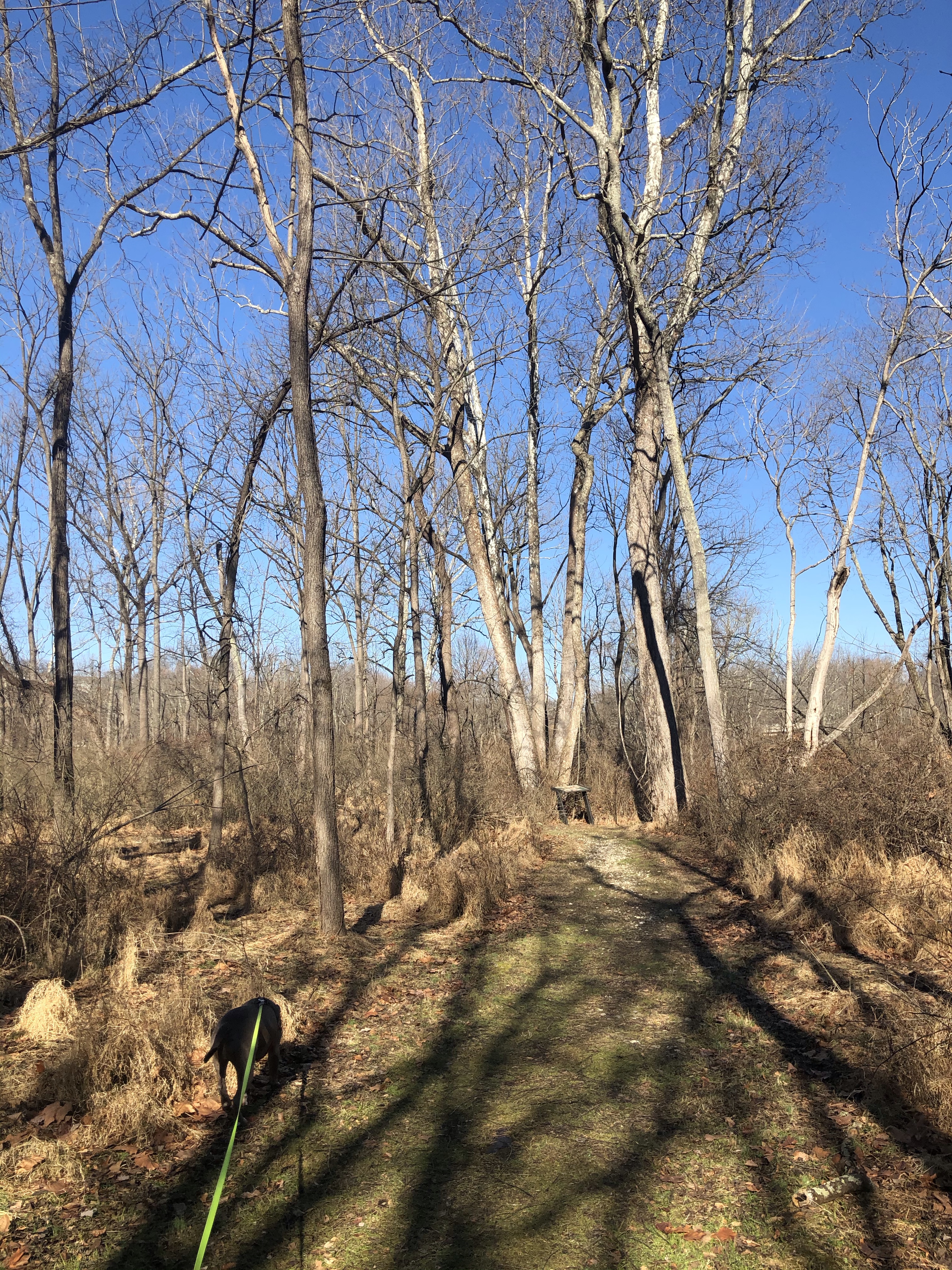
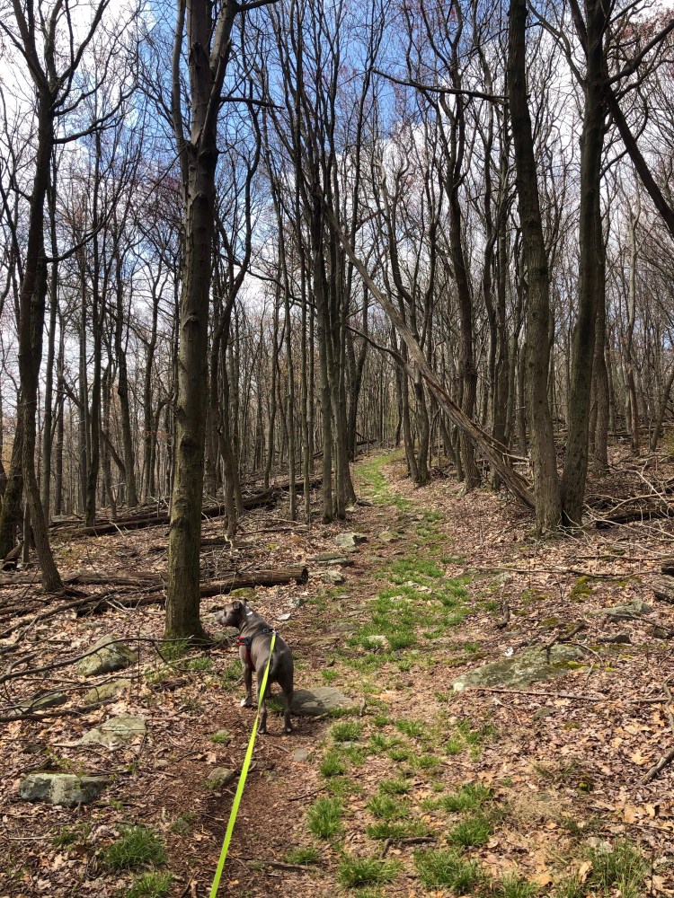
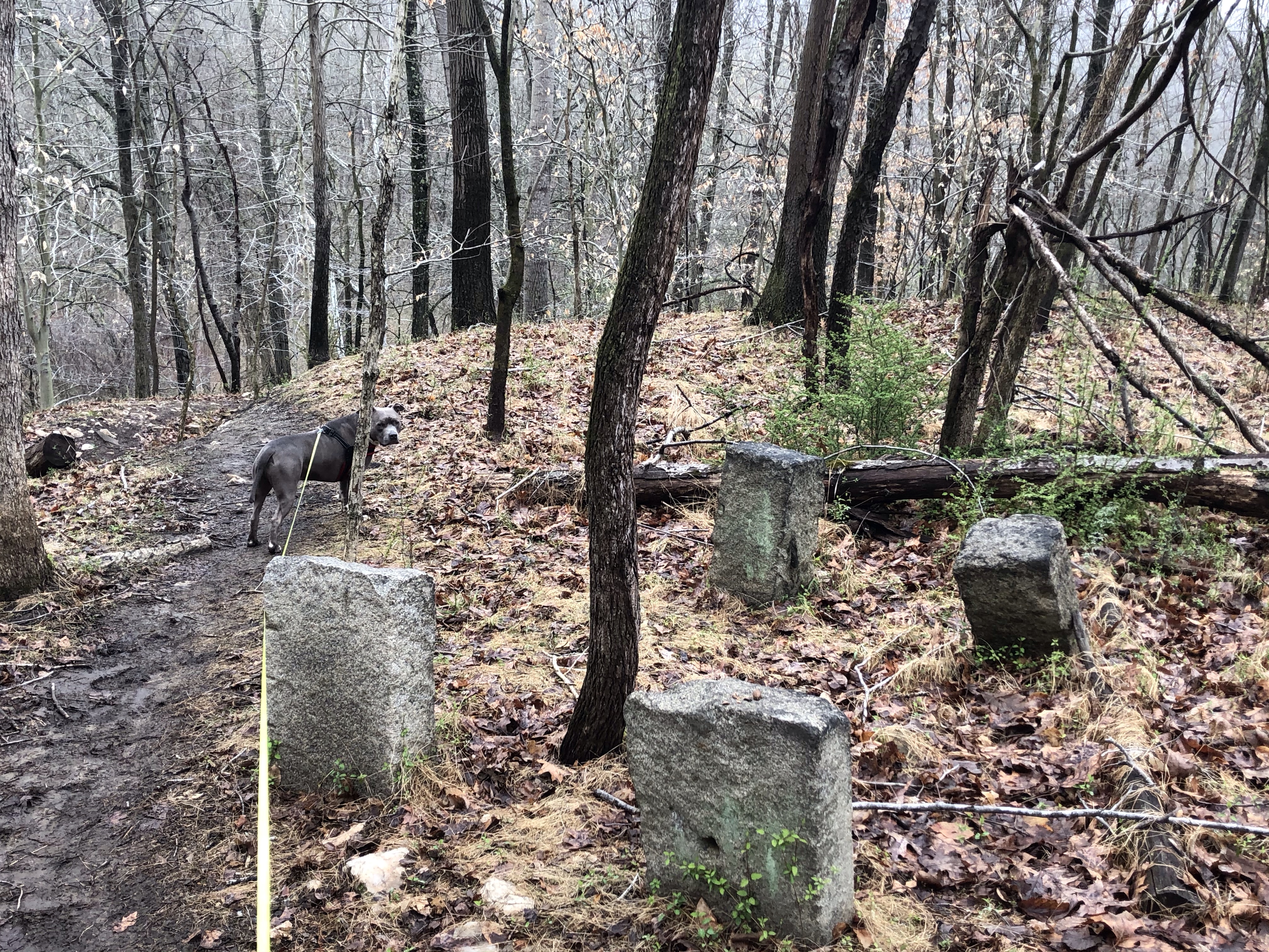
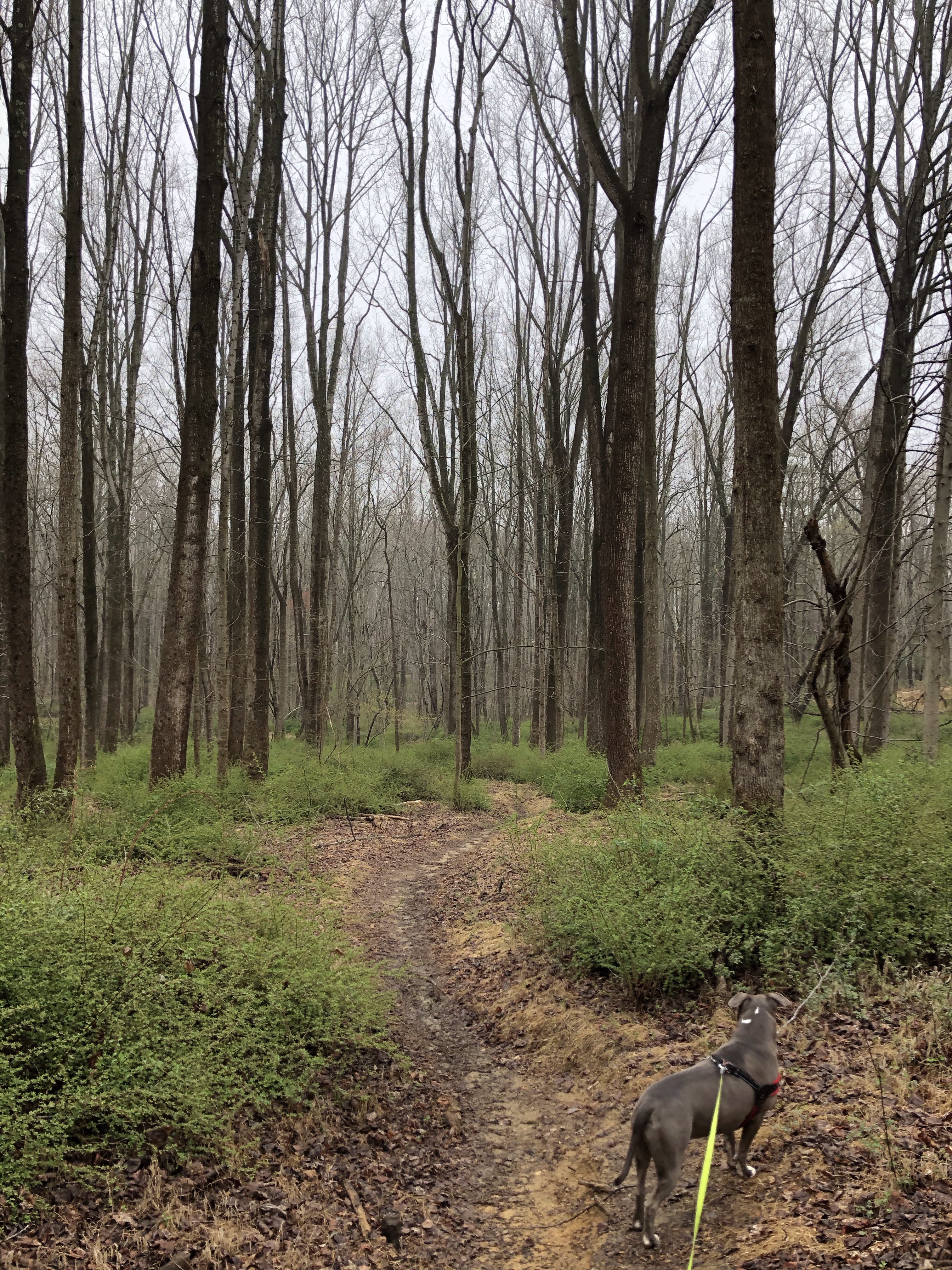
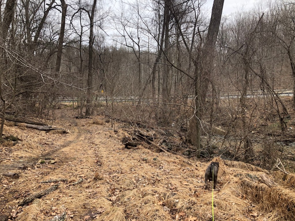
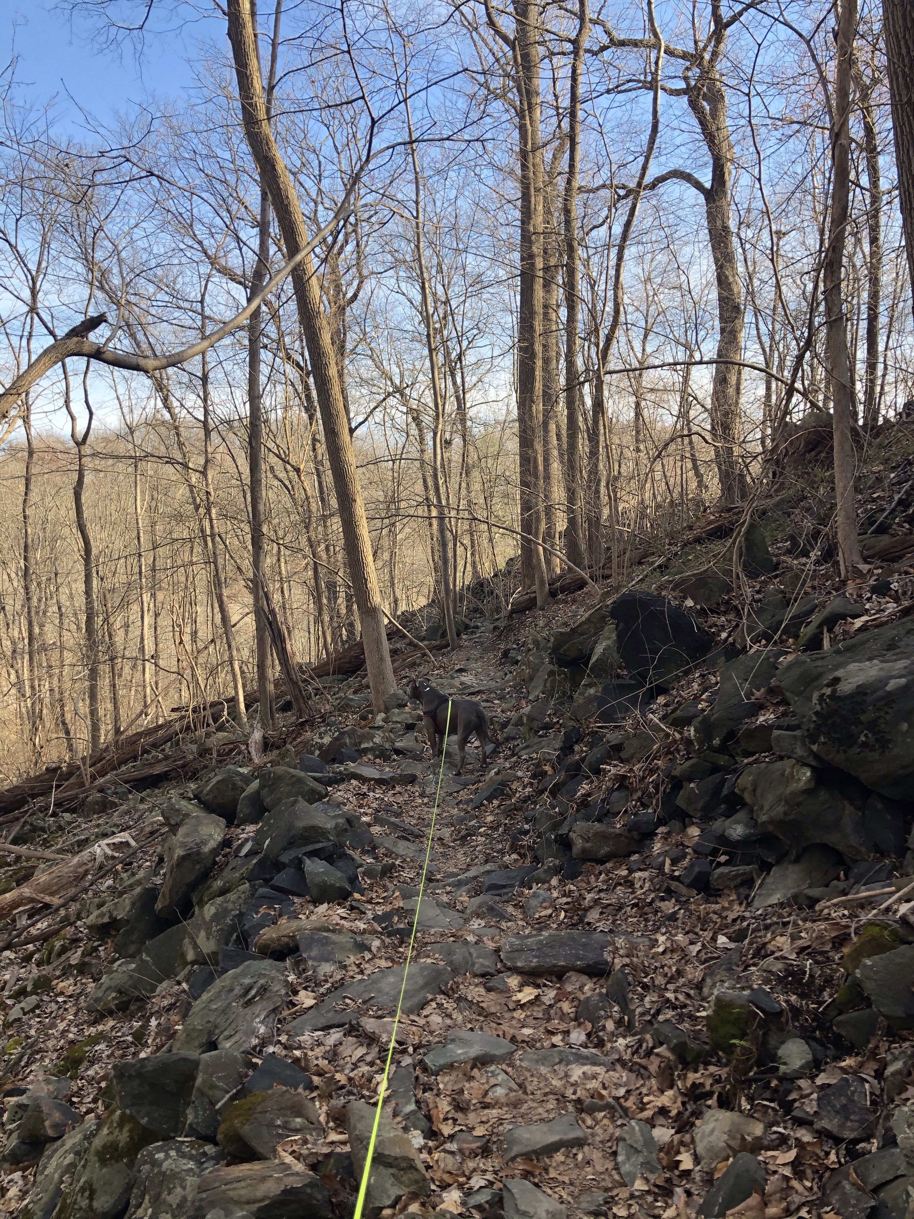
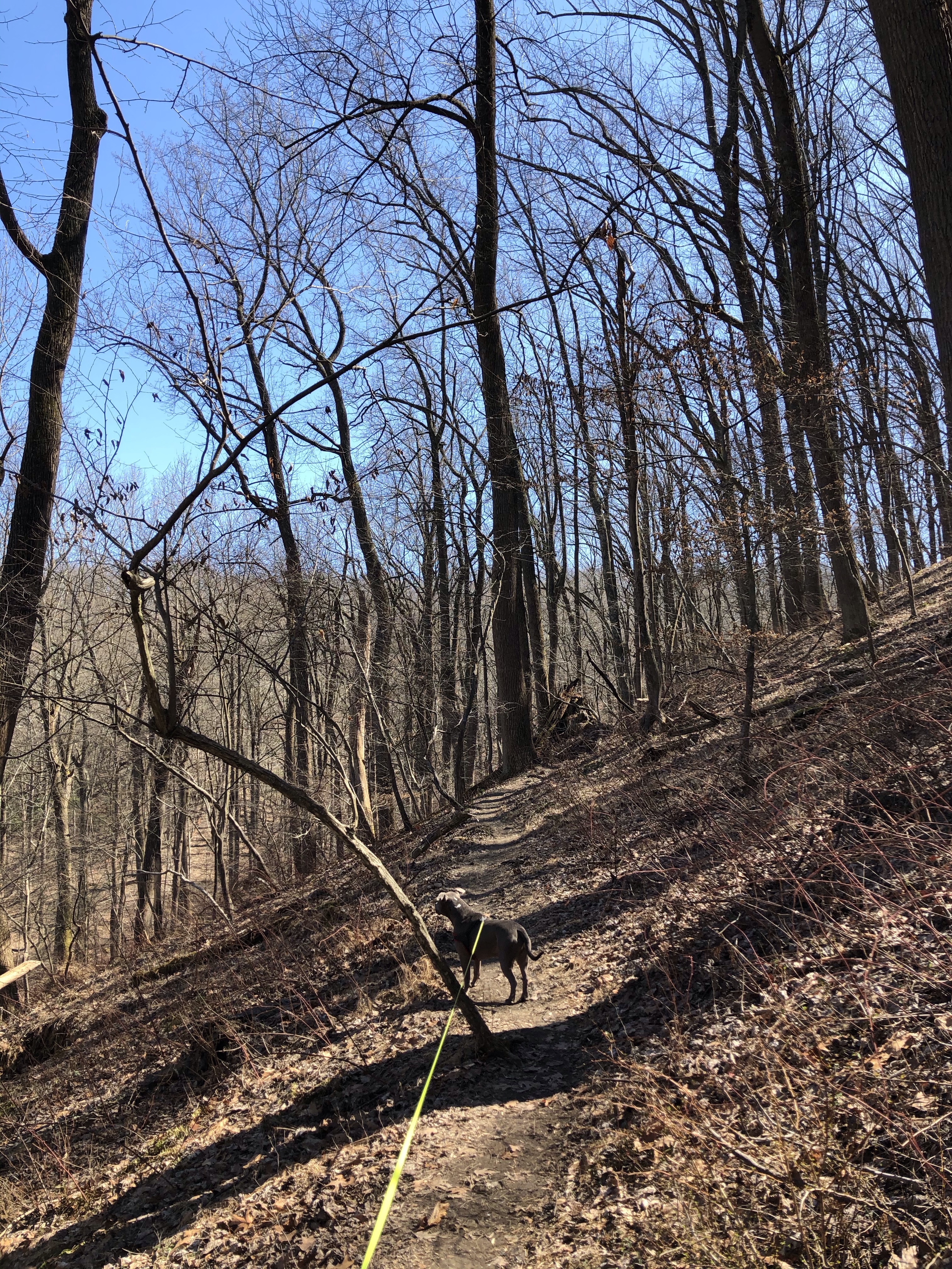
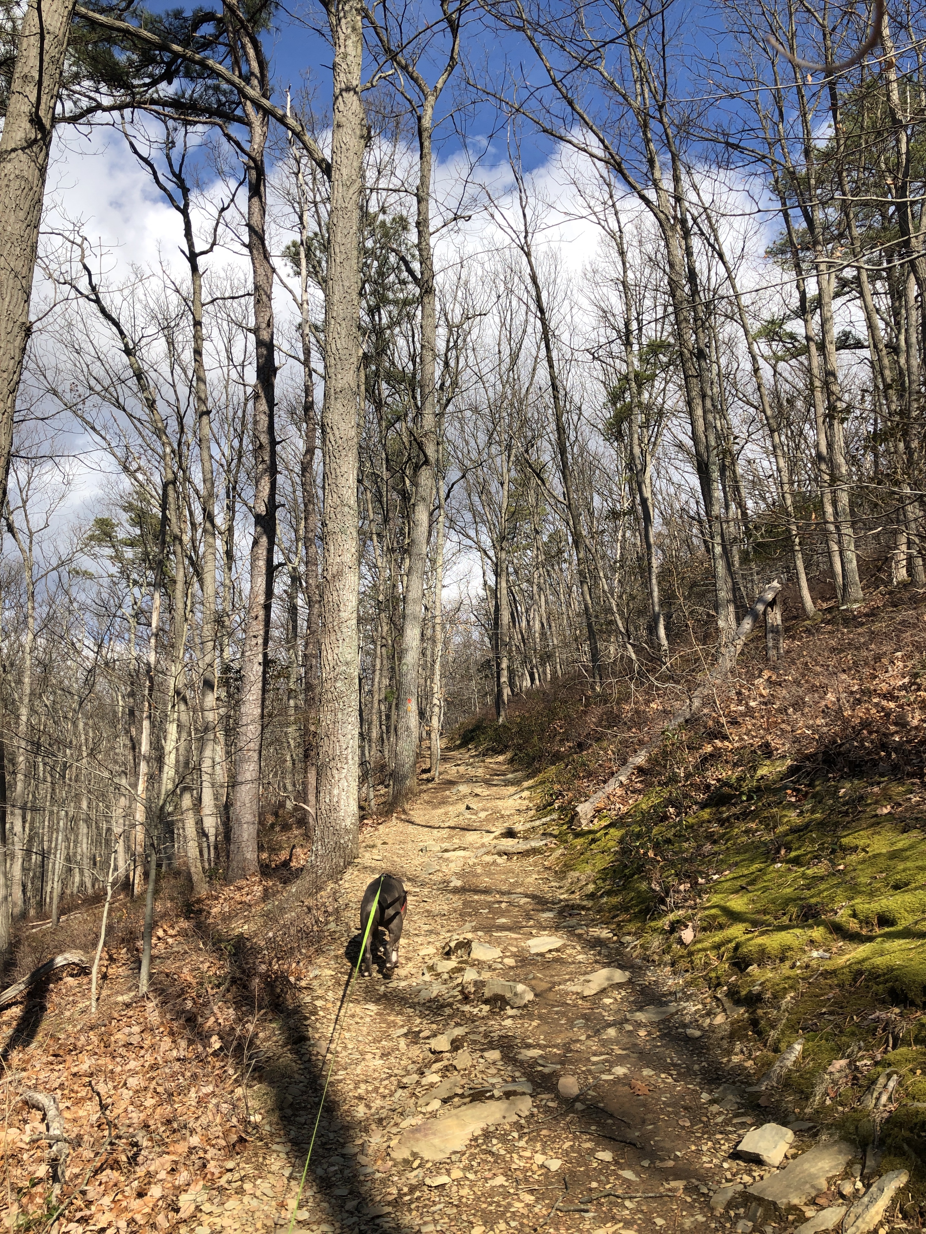
We just keep climbing on the yellow trail. It sure is pretty steep.
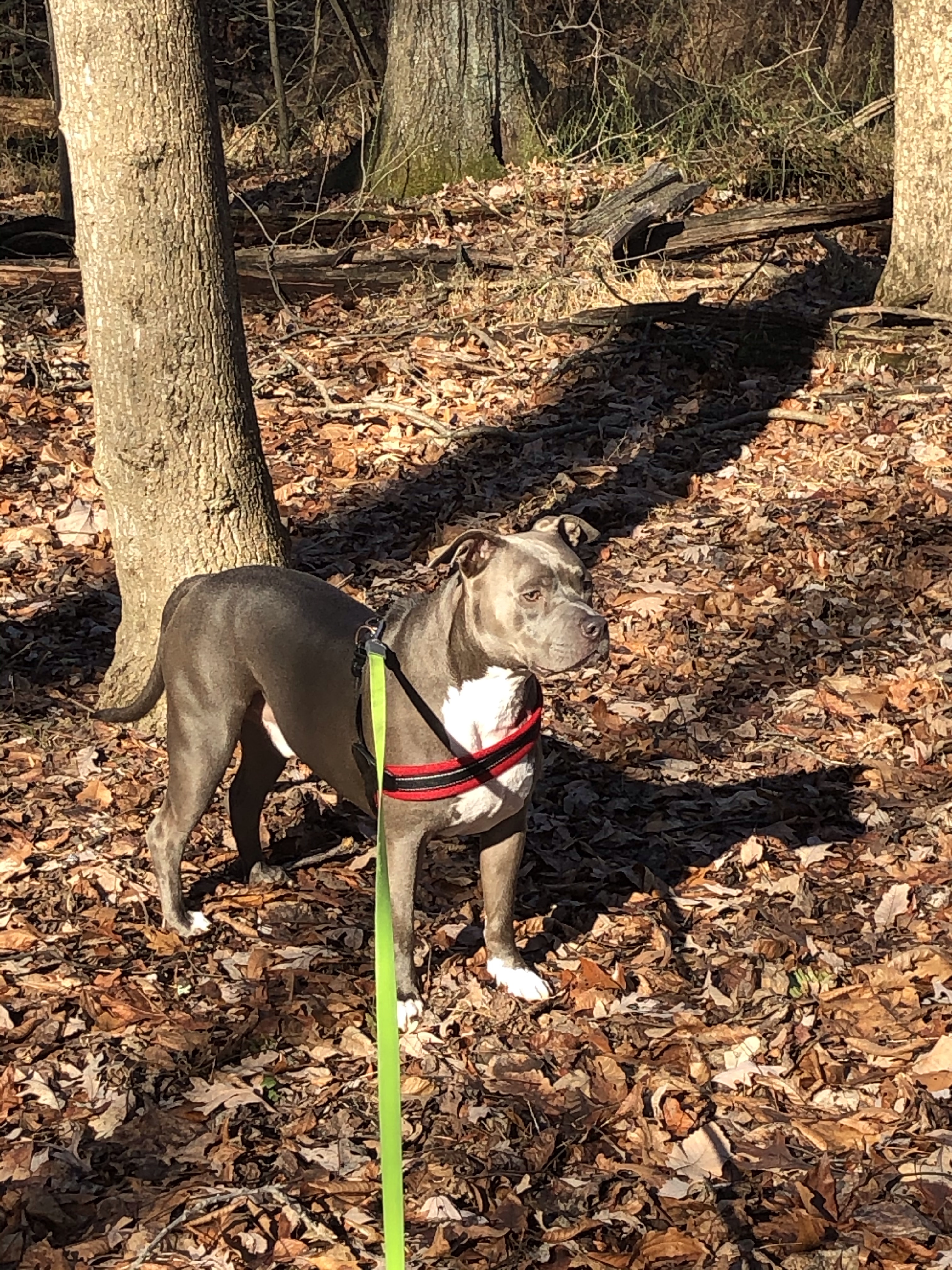
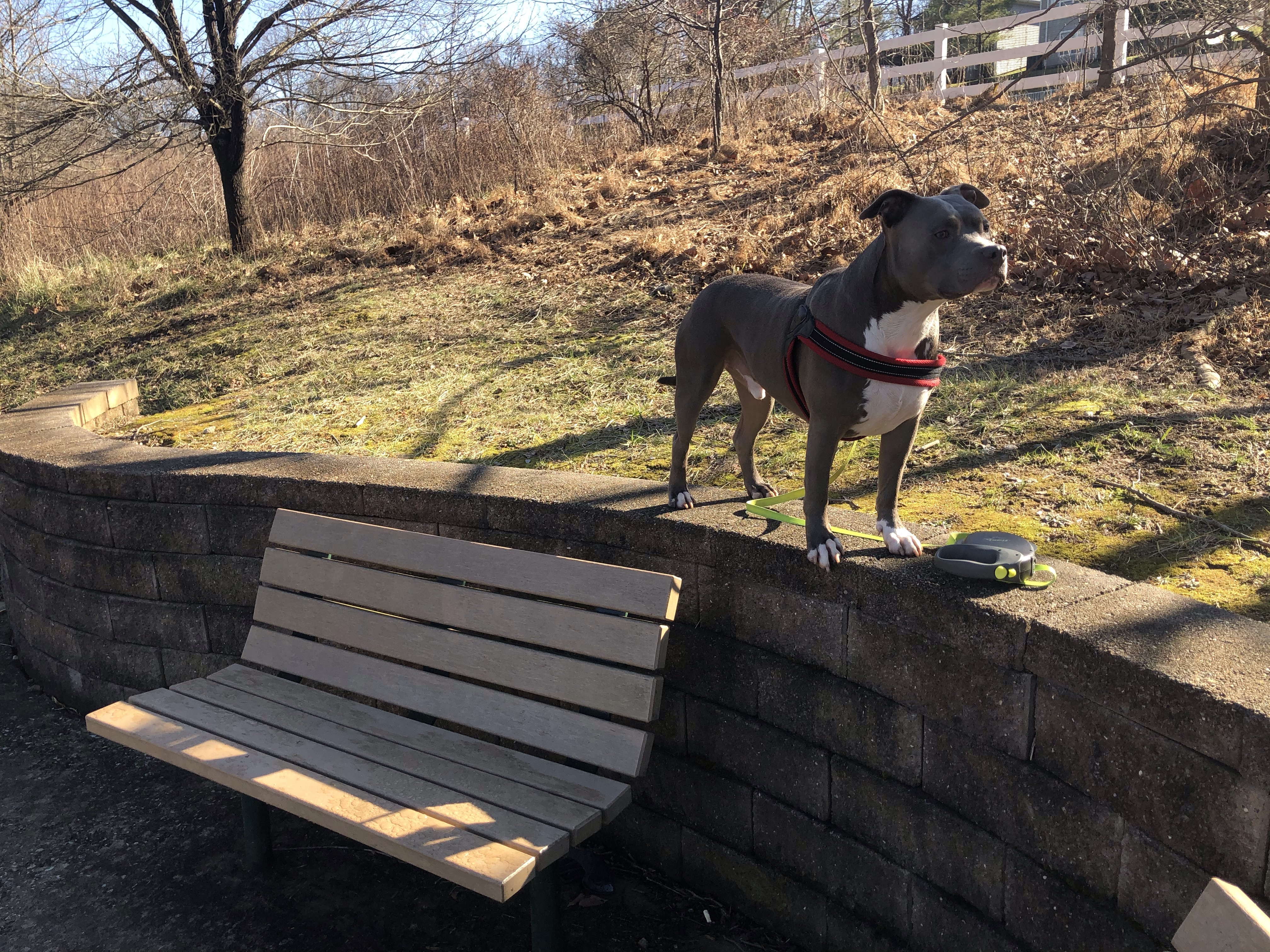
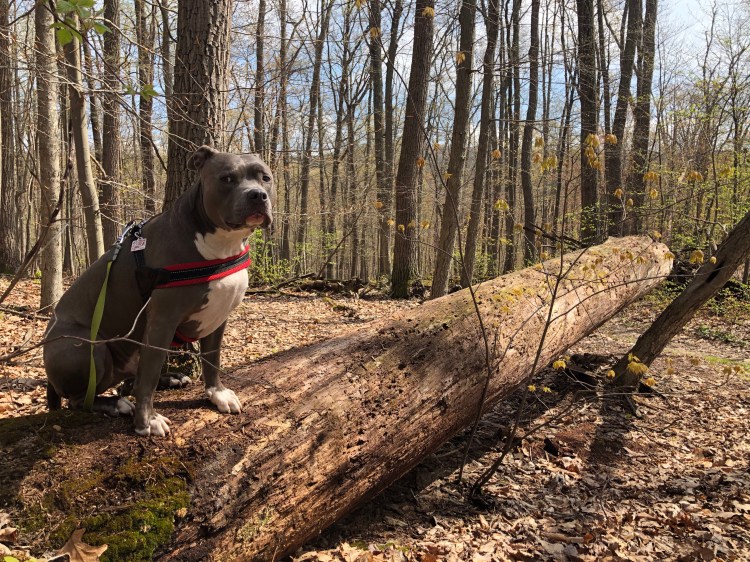
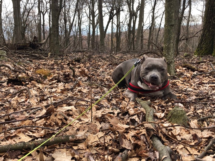
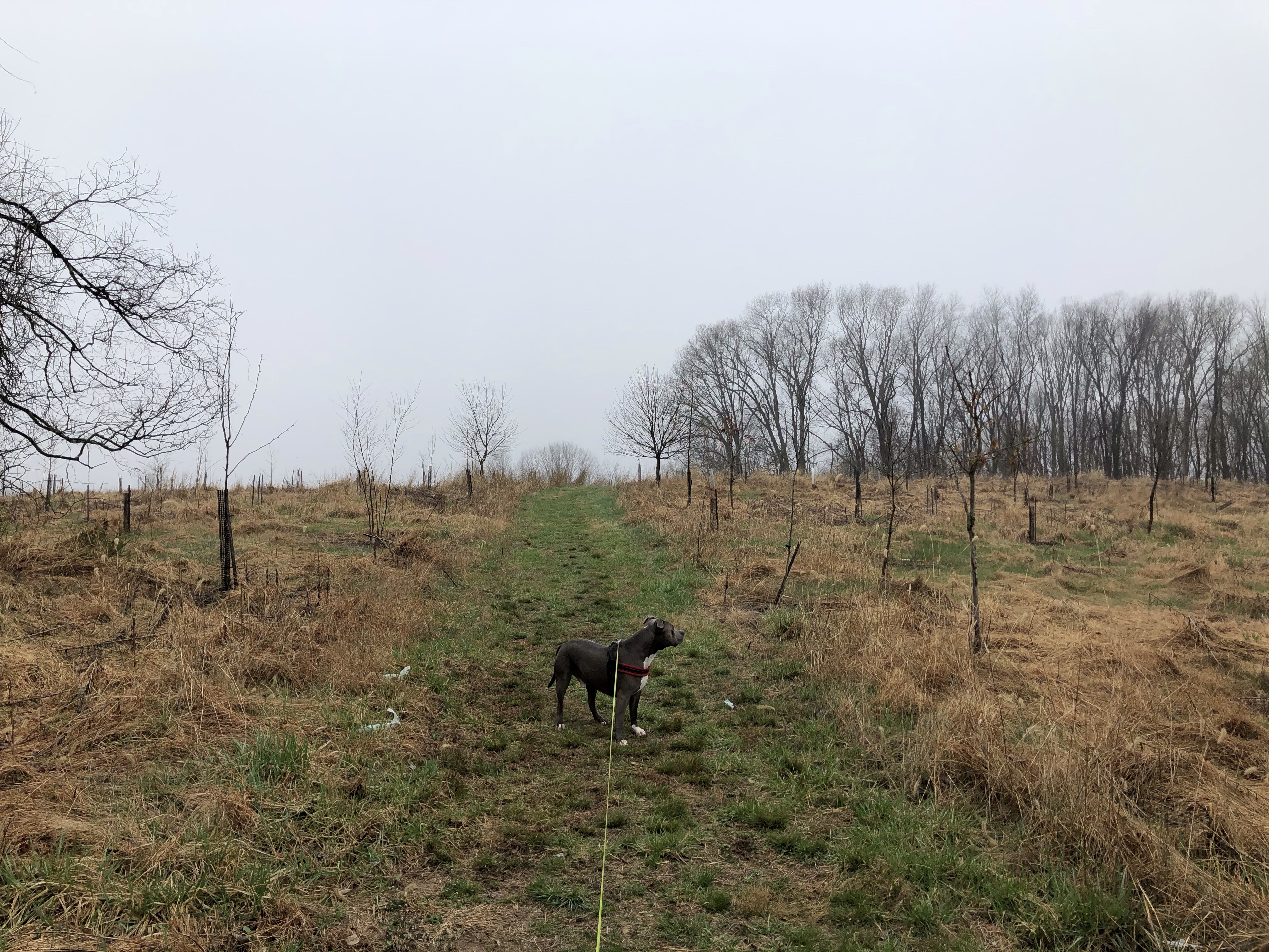
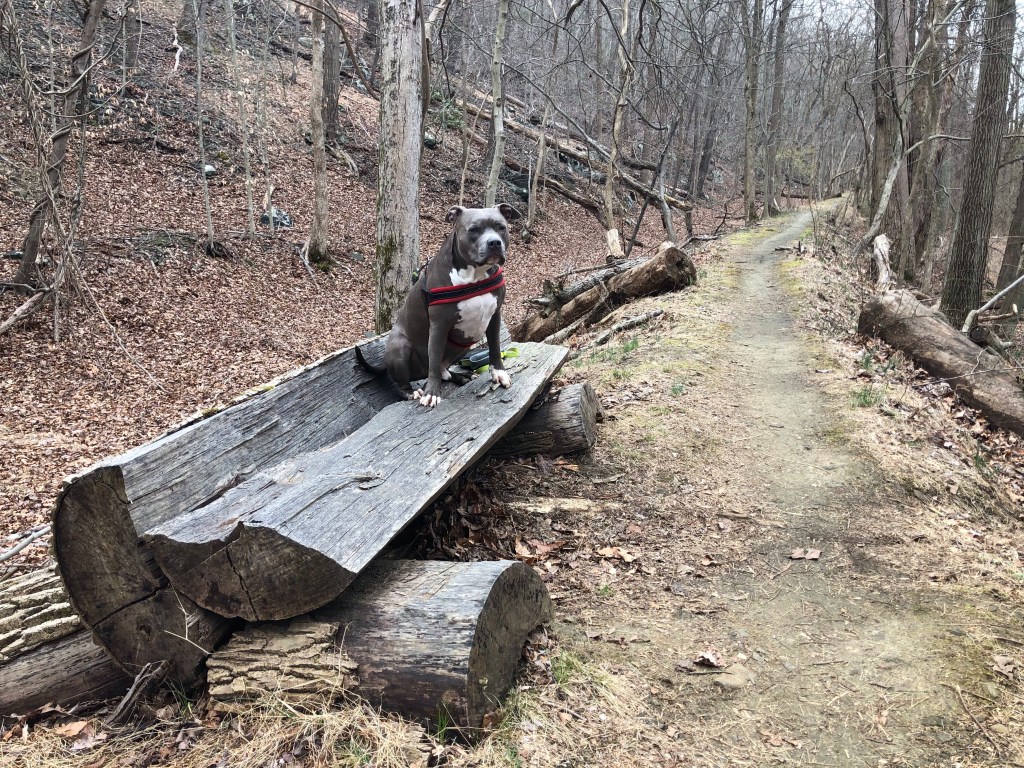
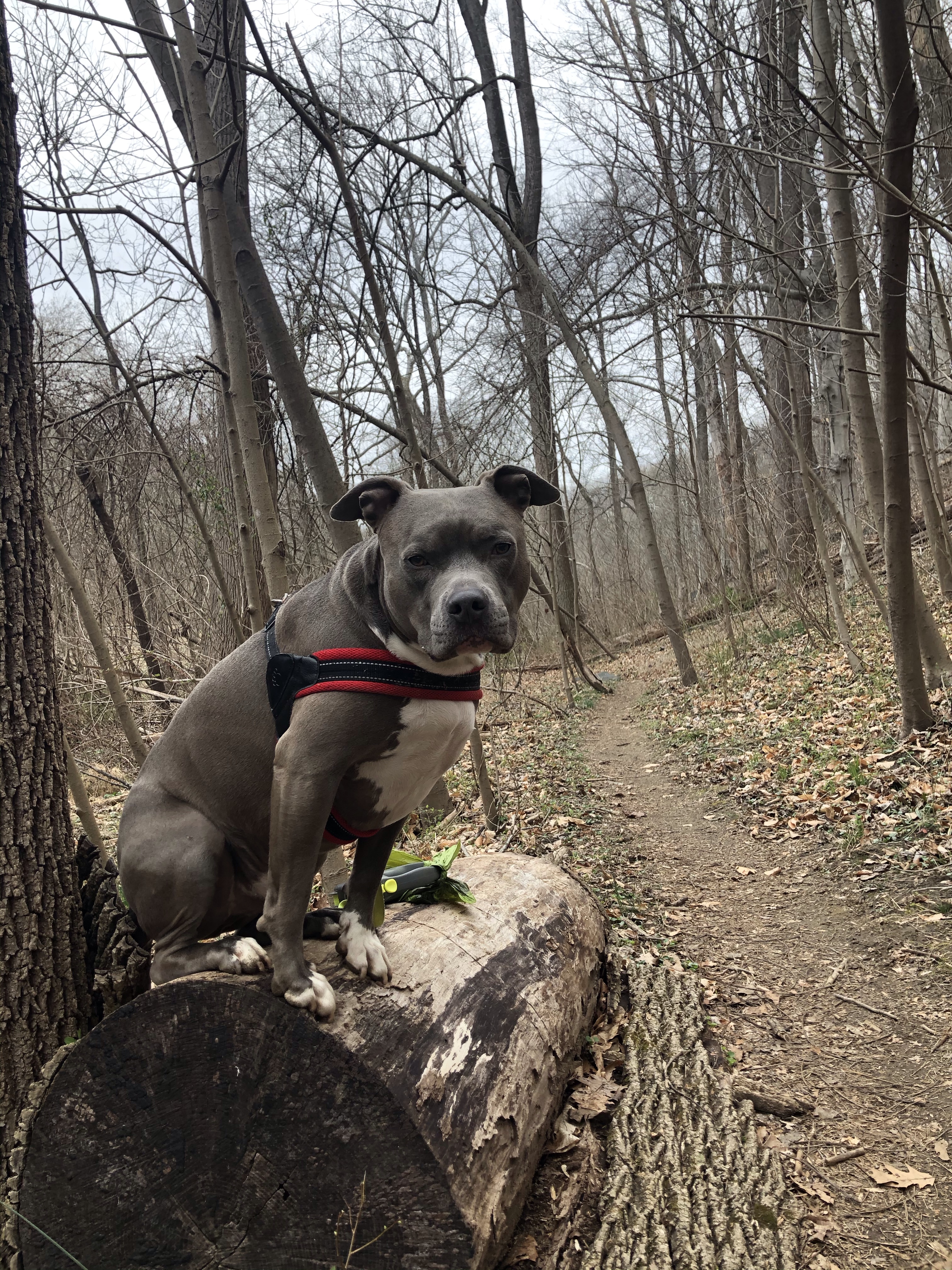
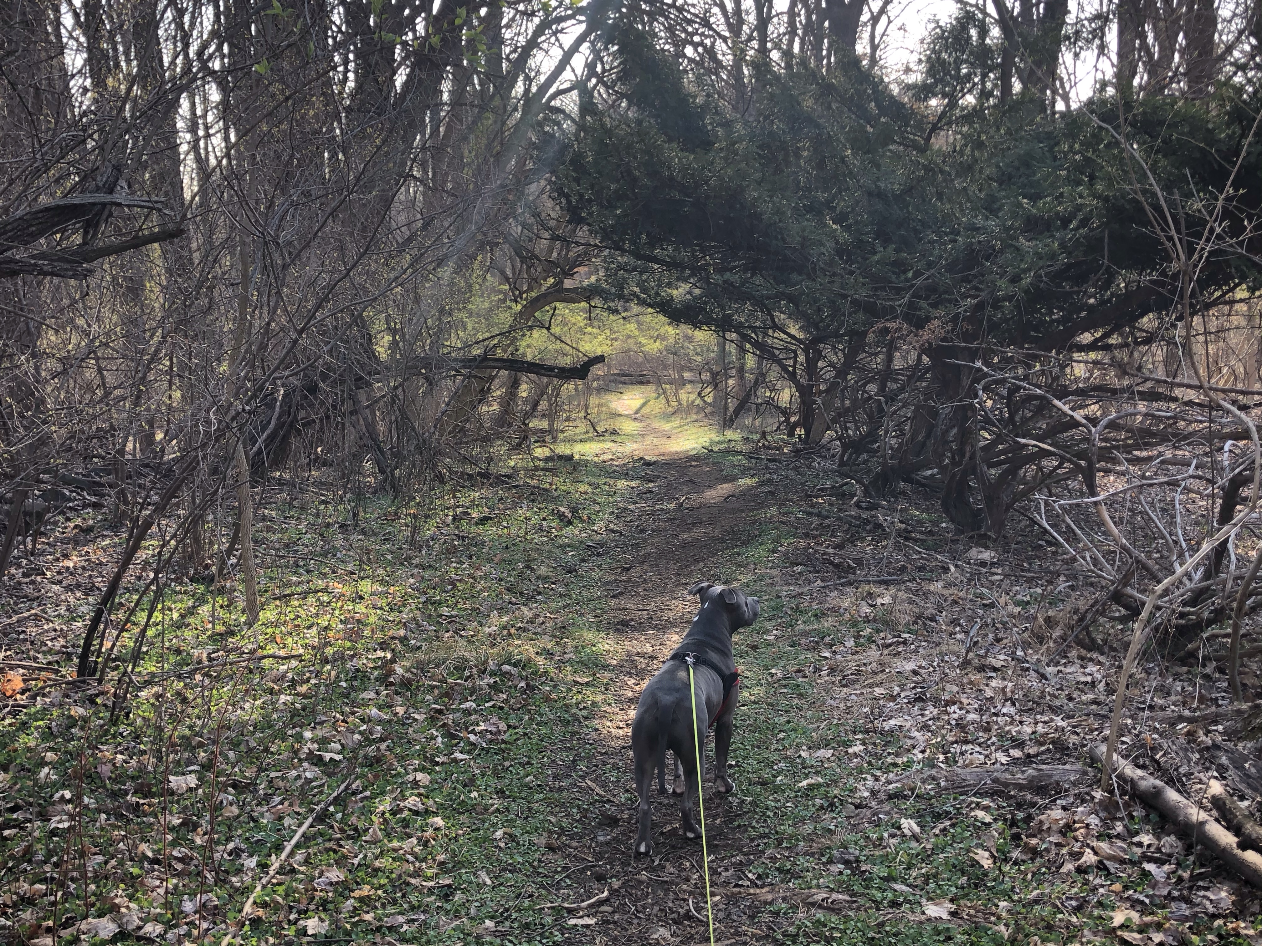
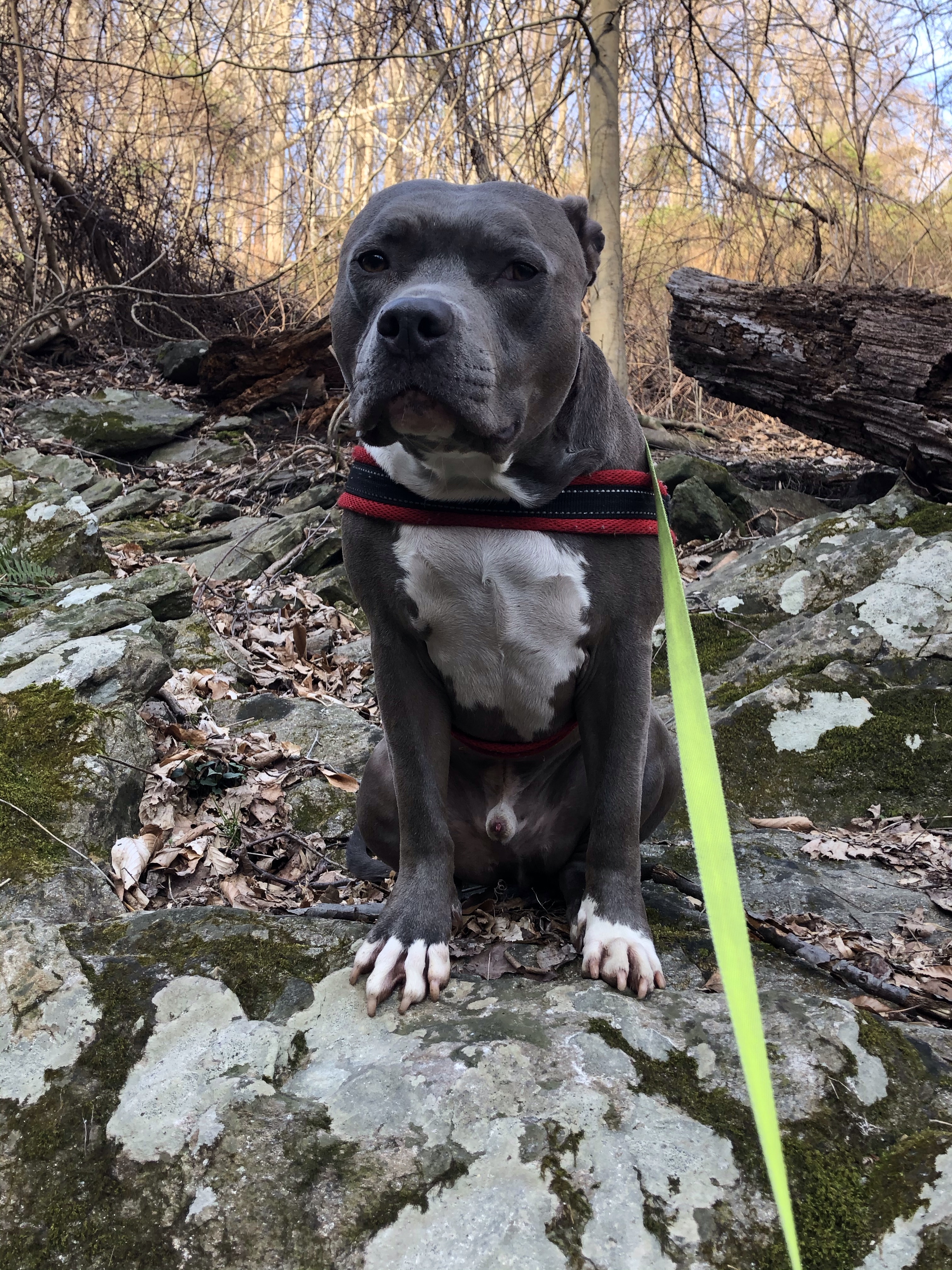
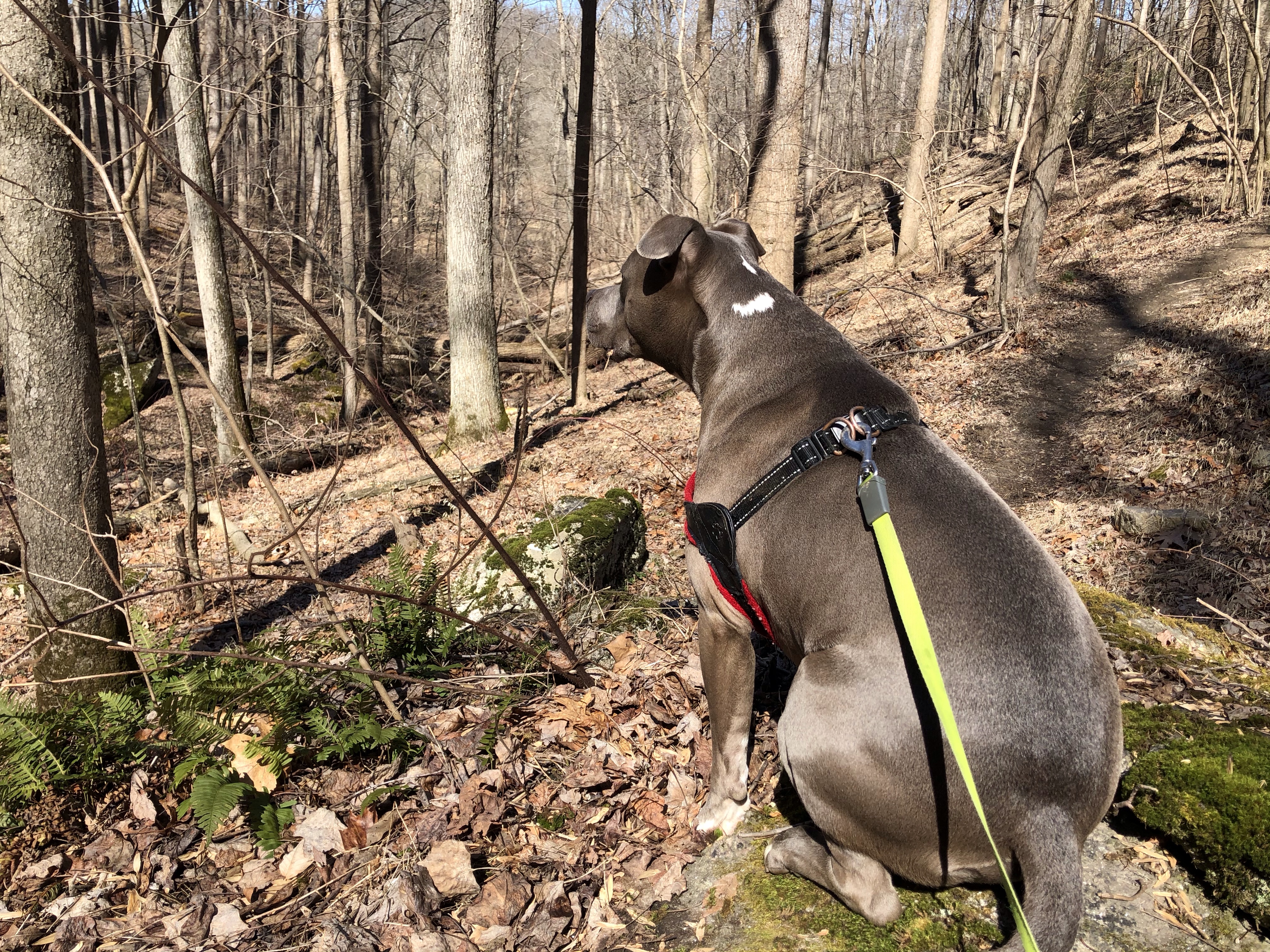
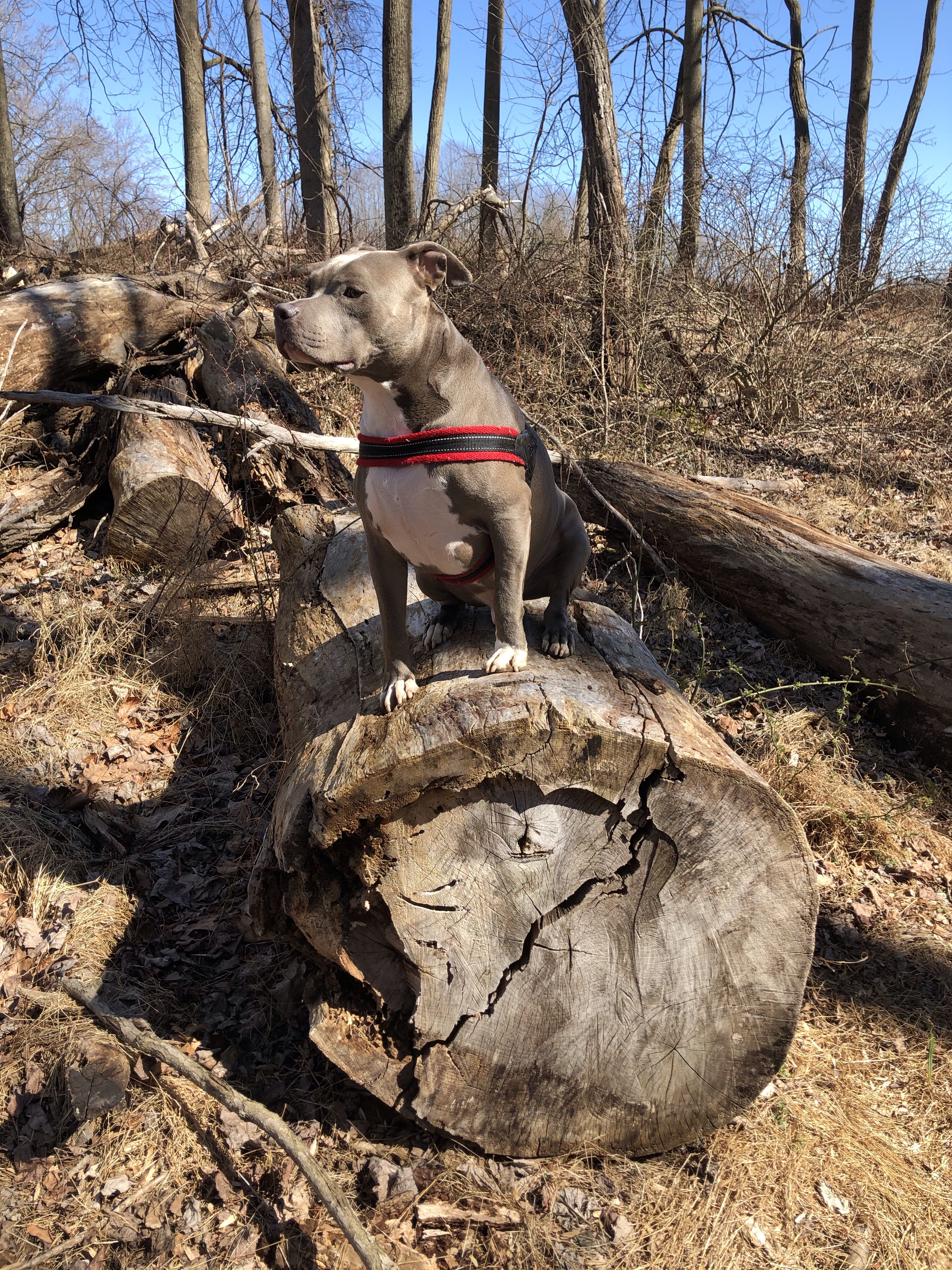
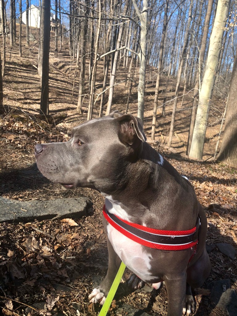
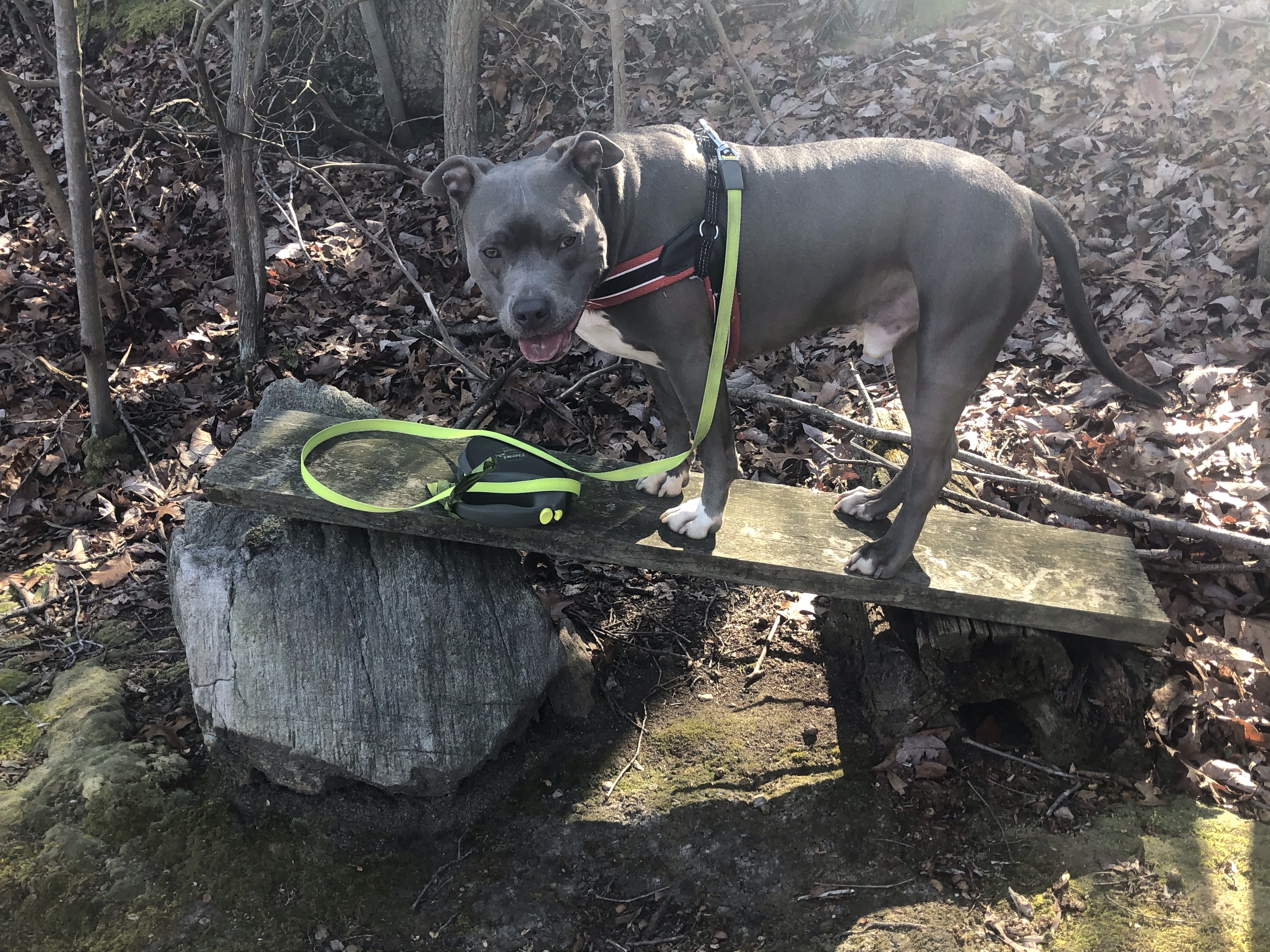
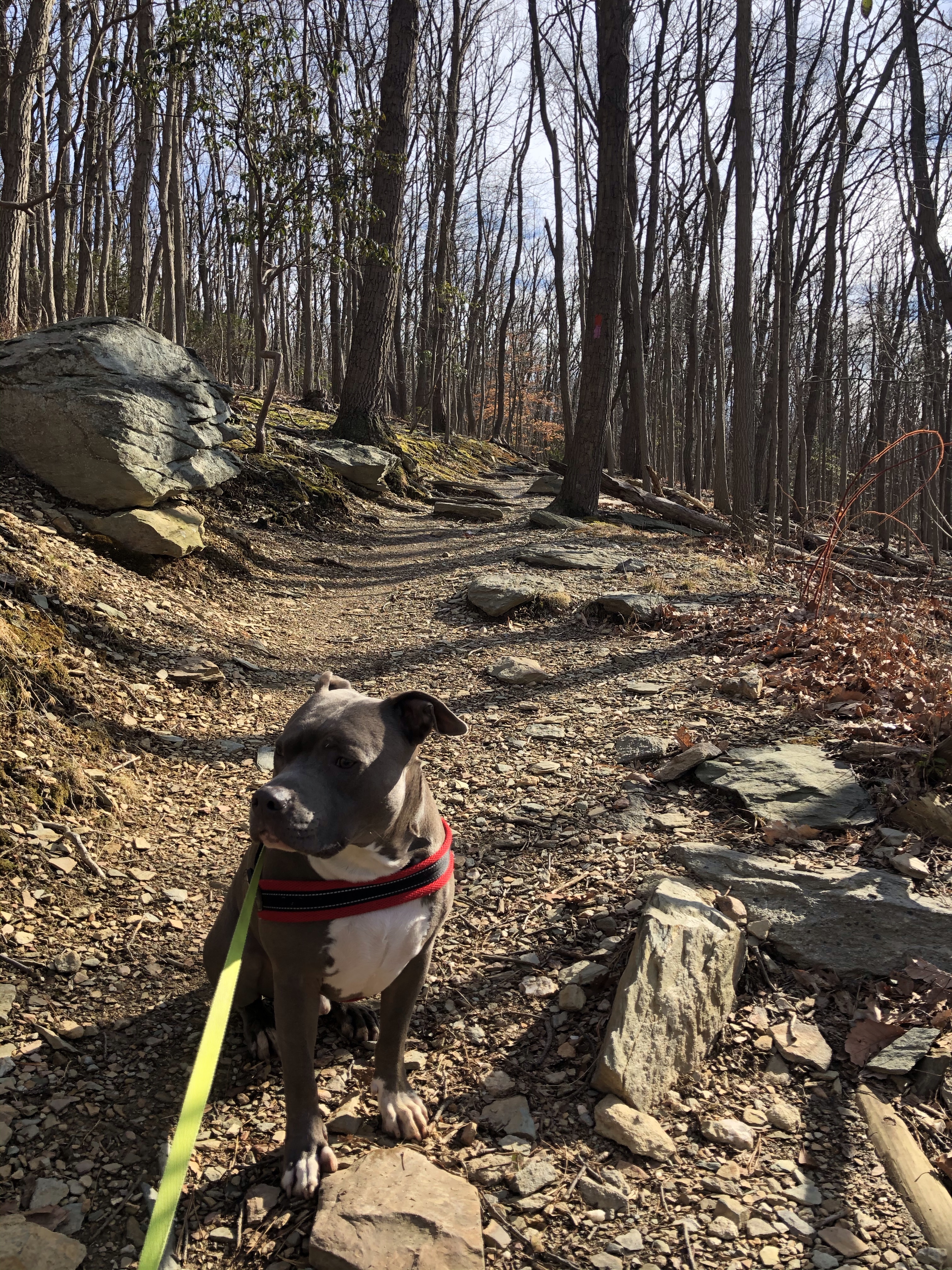
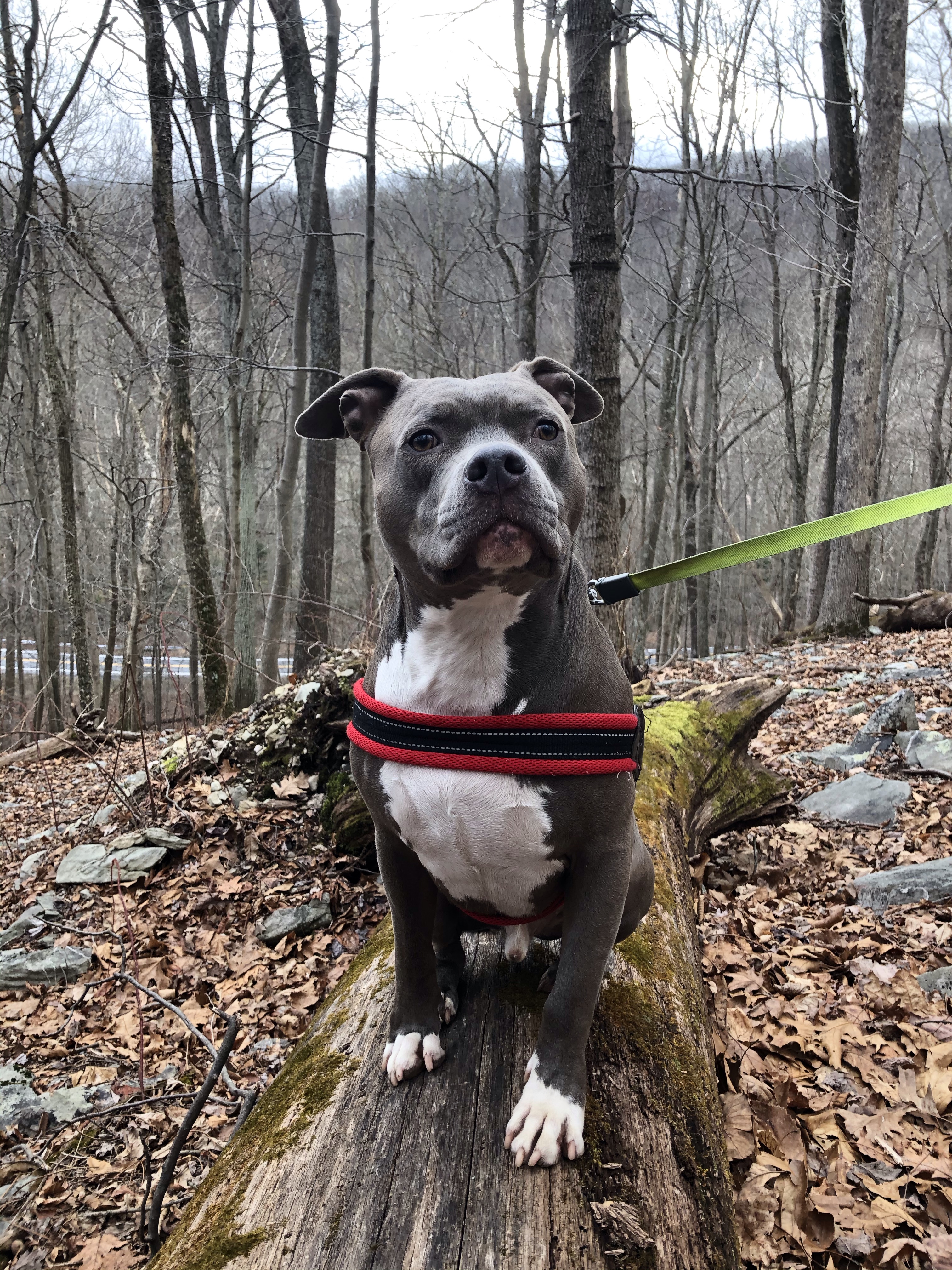
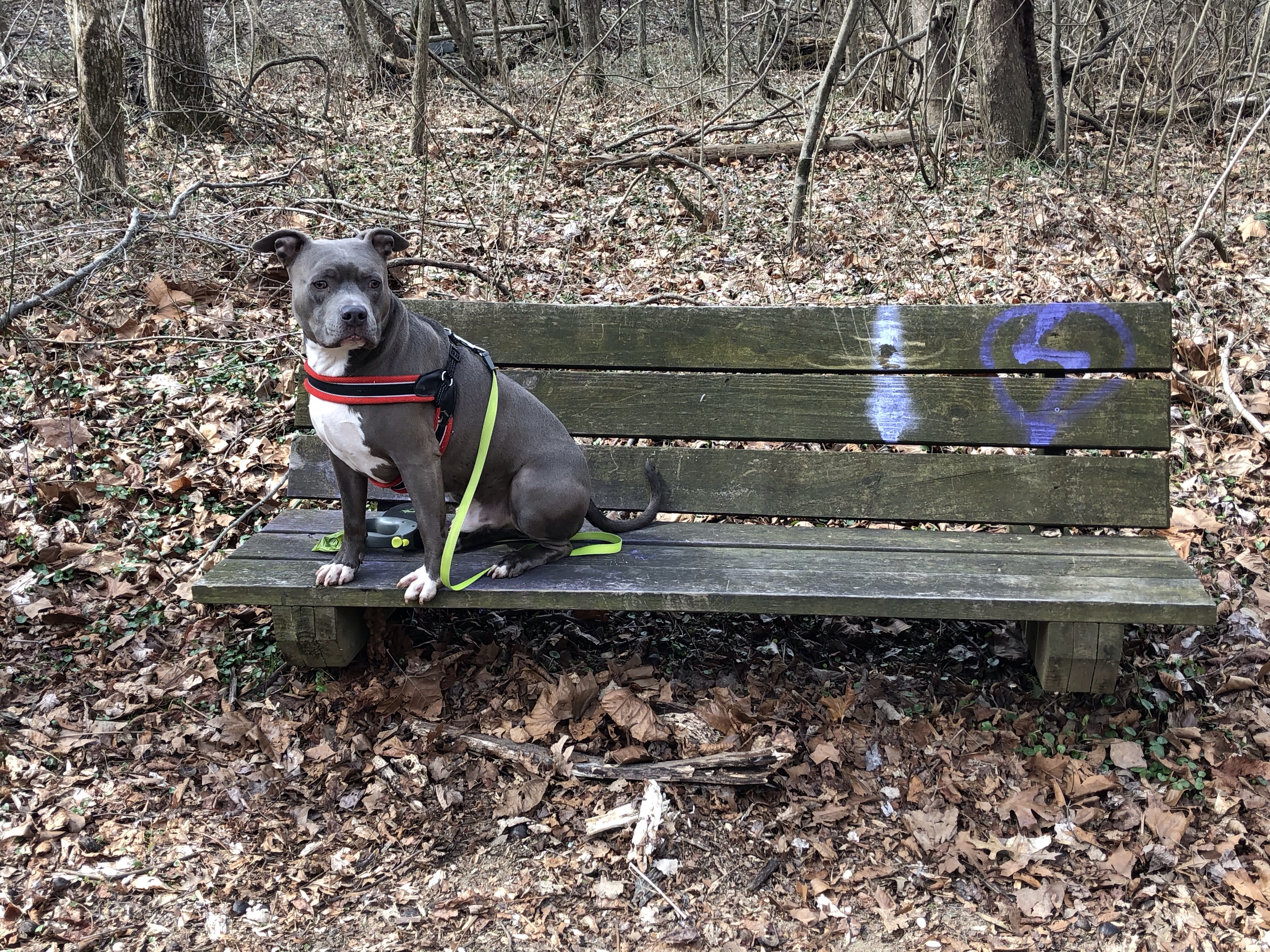
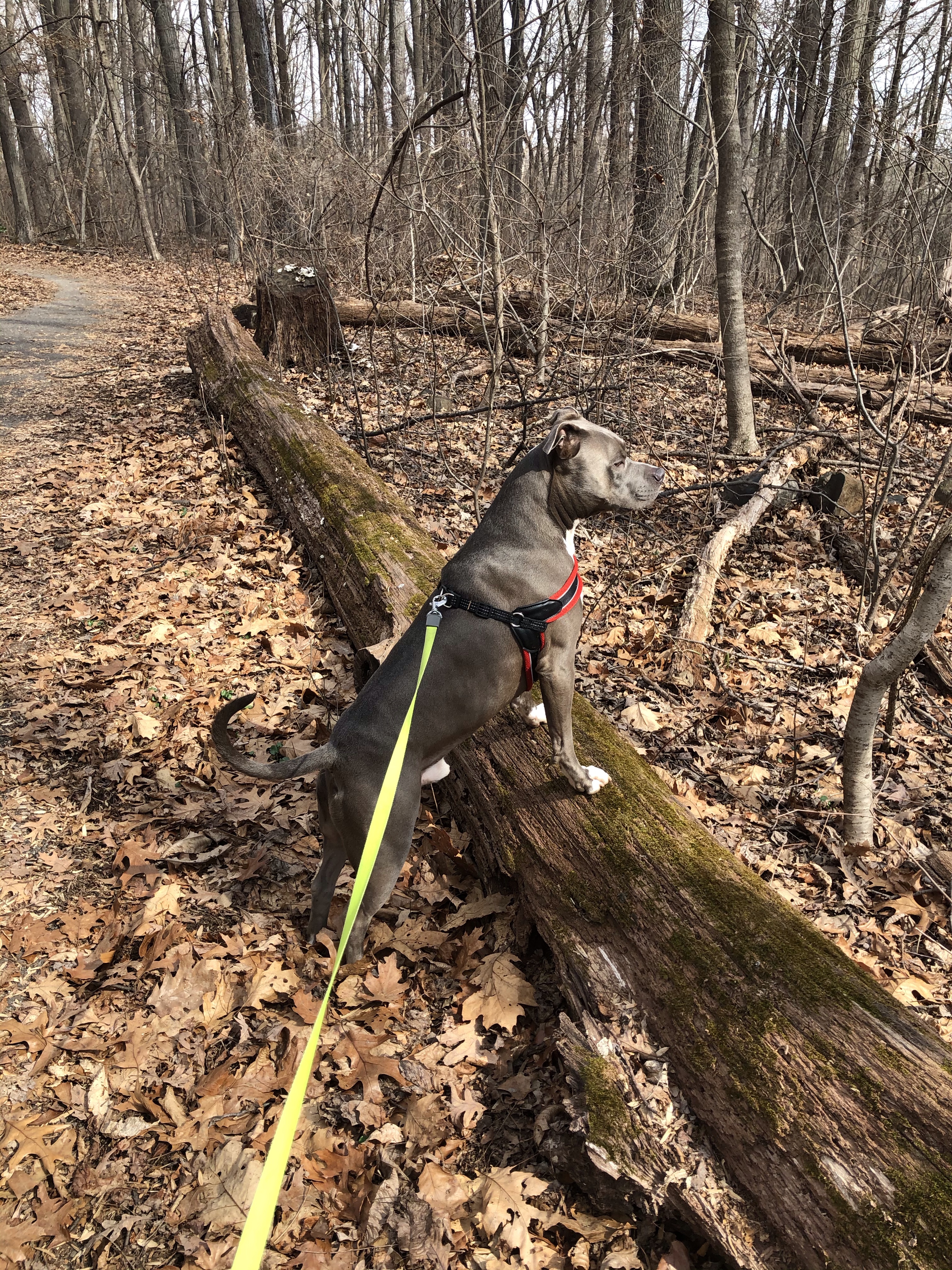
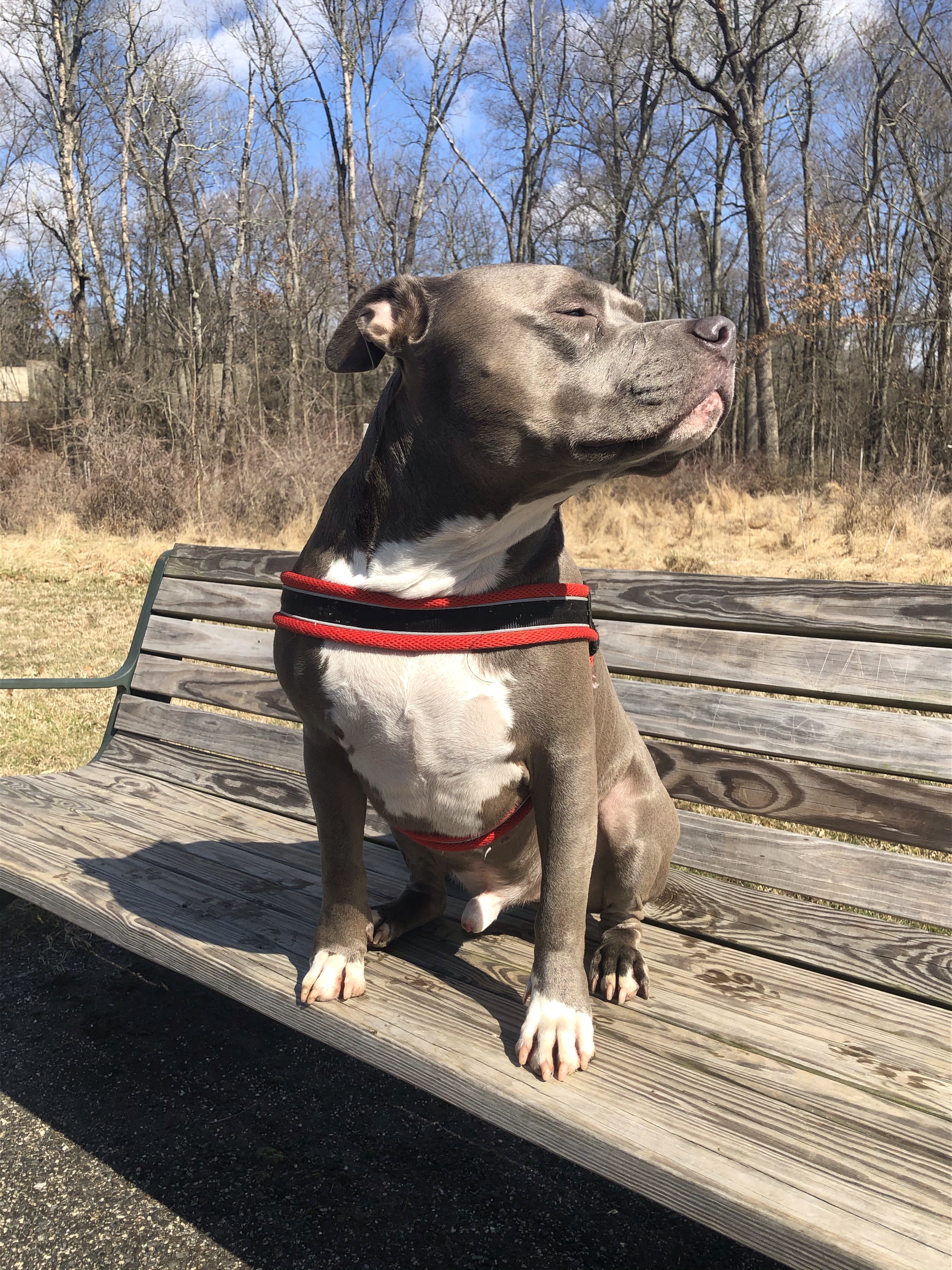
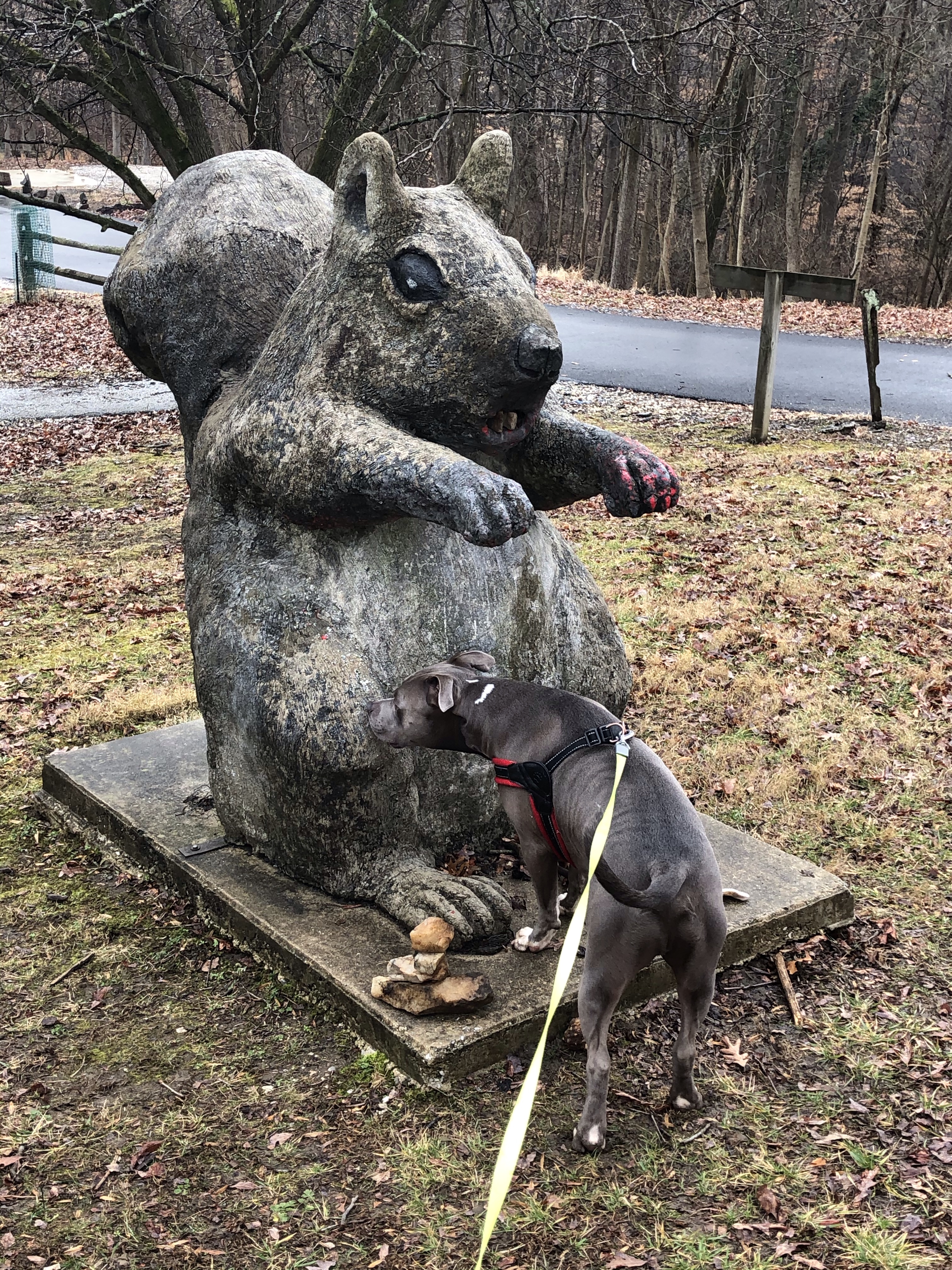
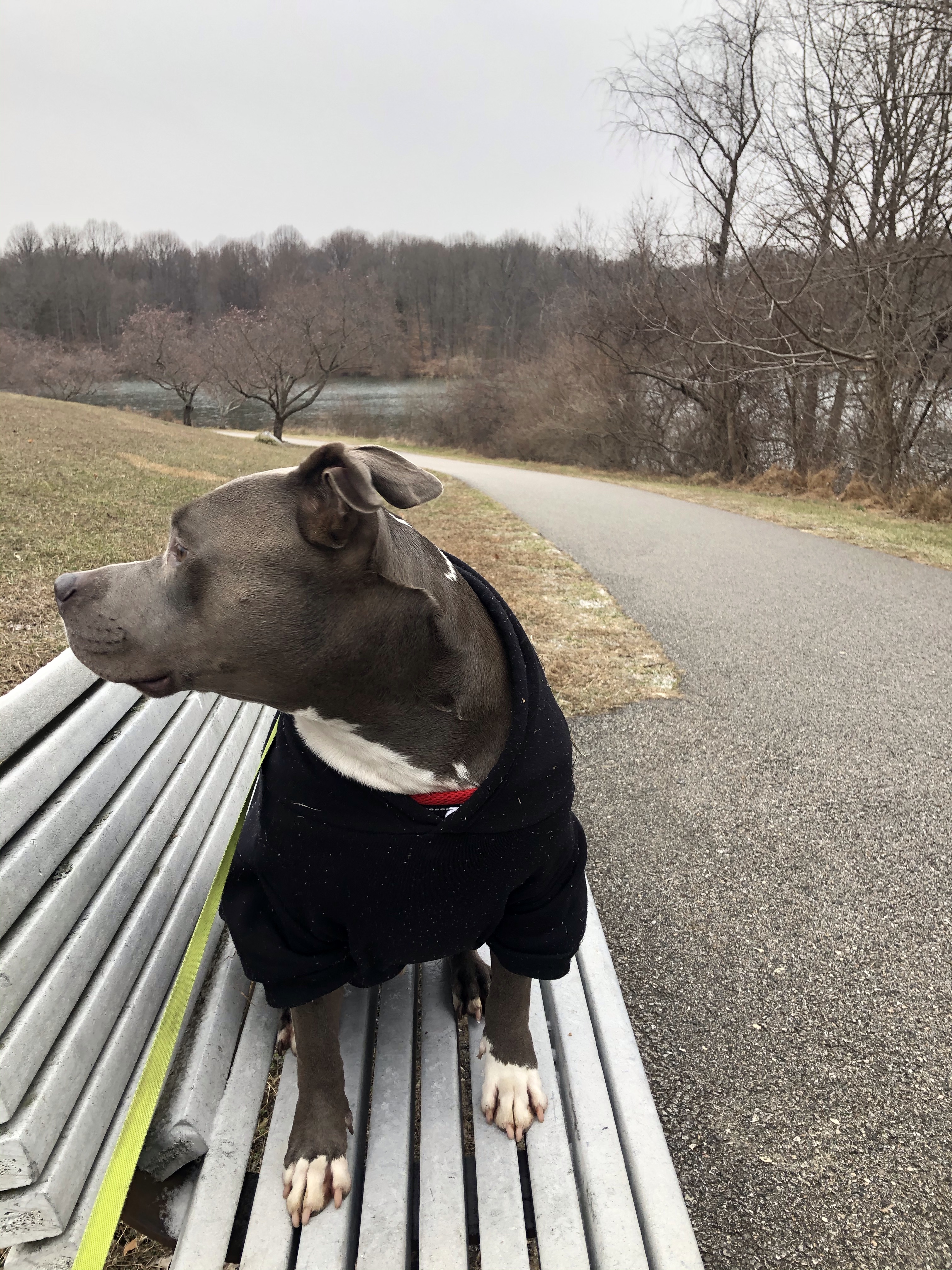
While a family passes us, I have Mag sit on a fallen tree (it’s a habit of ours to show people that he is very well behaved).
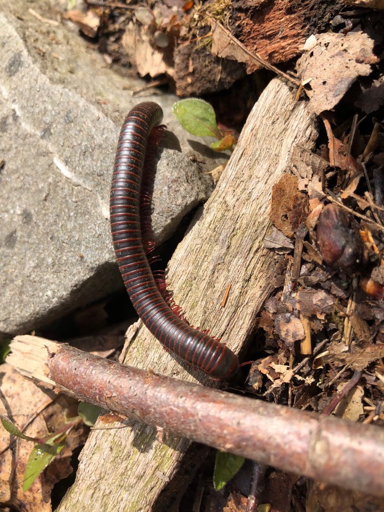
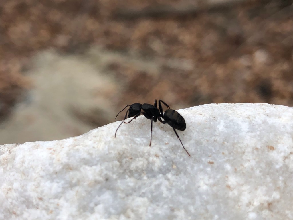
We are dragging our feet anyway. Just like this Millipede….relocating it is crucial before someone steps on it.
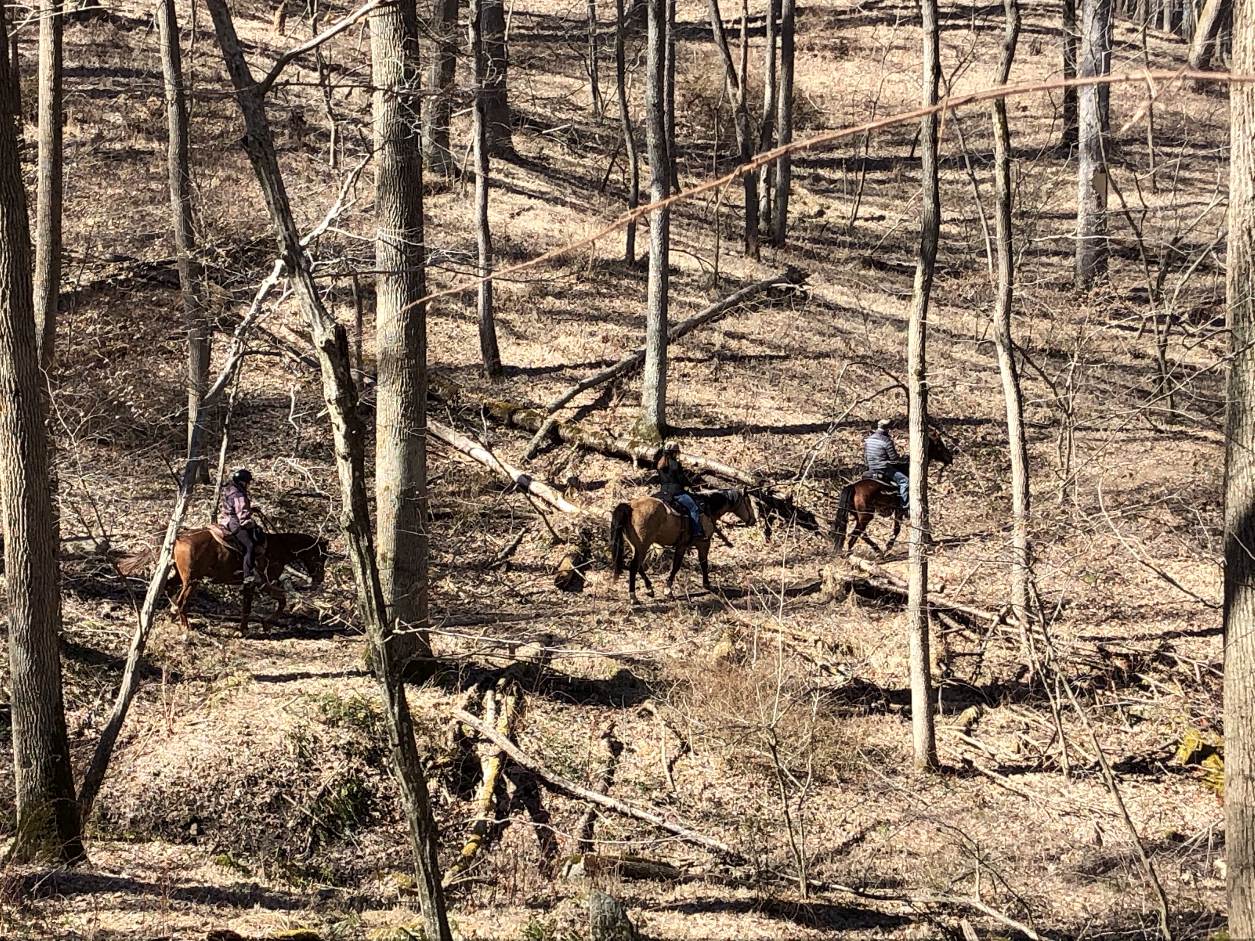
Few minutes later we also meet a couple of hunters….it makes me wonder if they are here legally or not? I haven’t seen any signs for managed hunting areas.
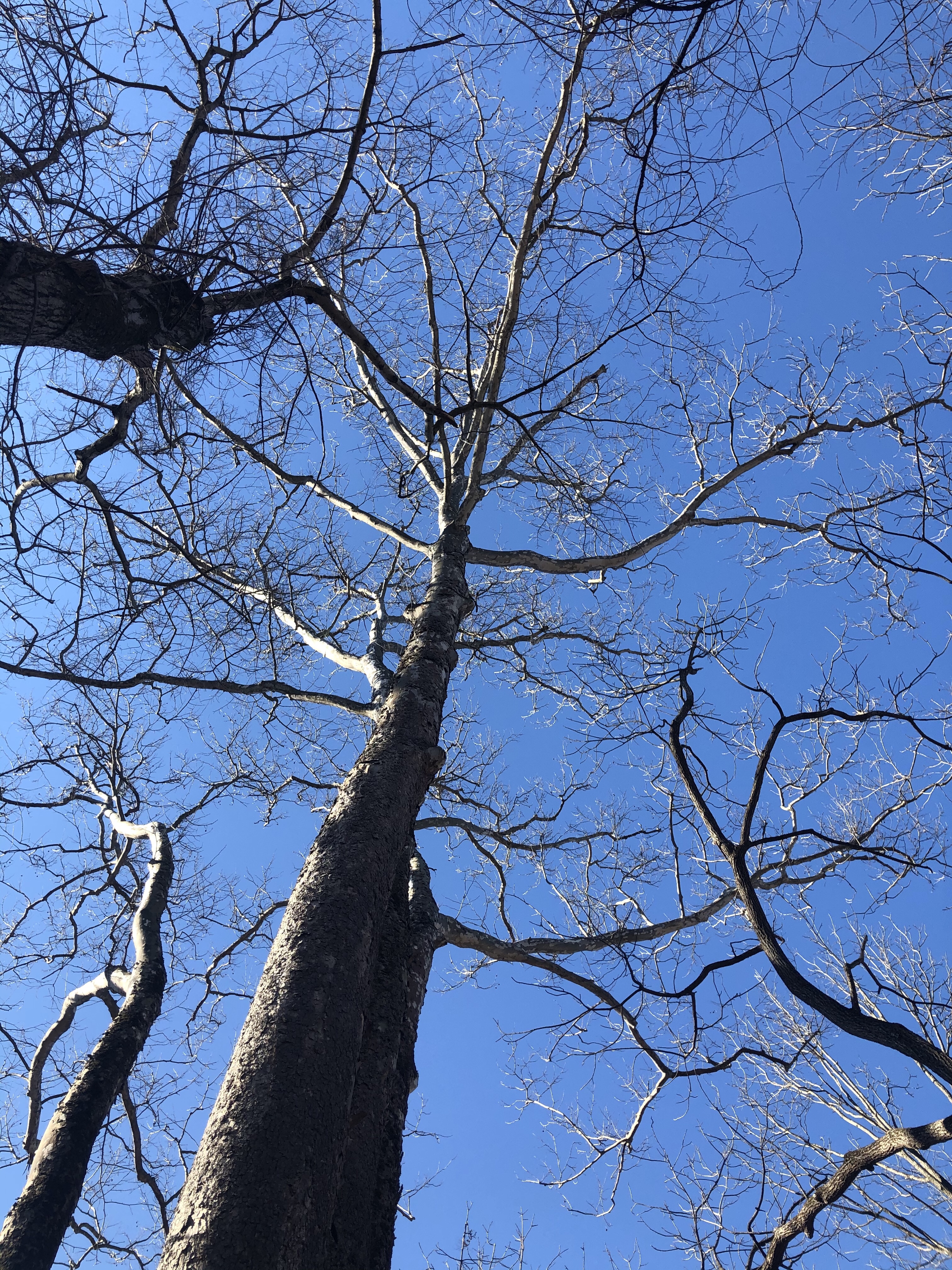
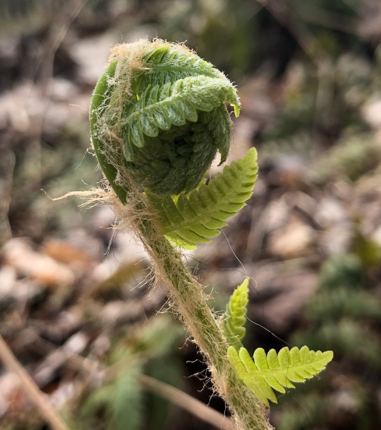
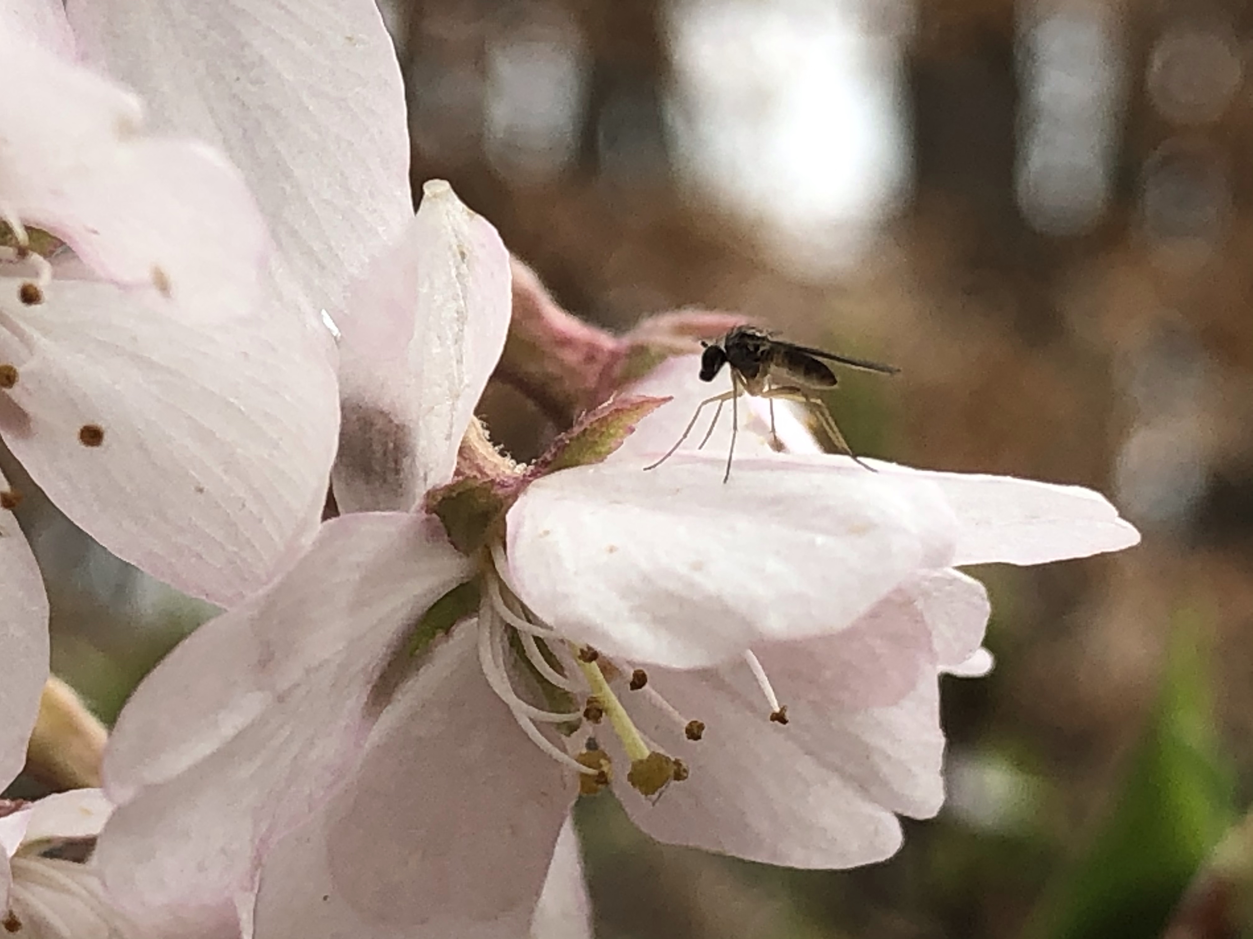
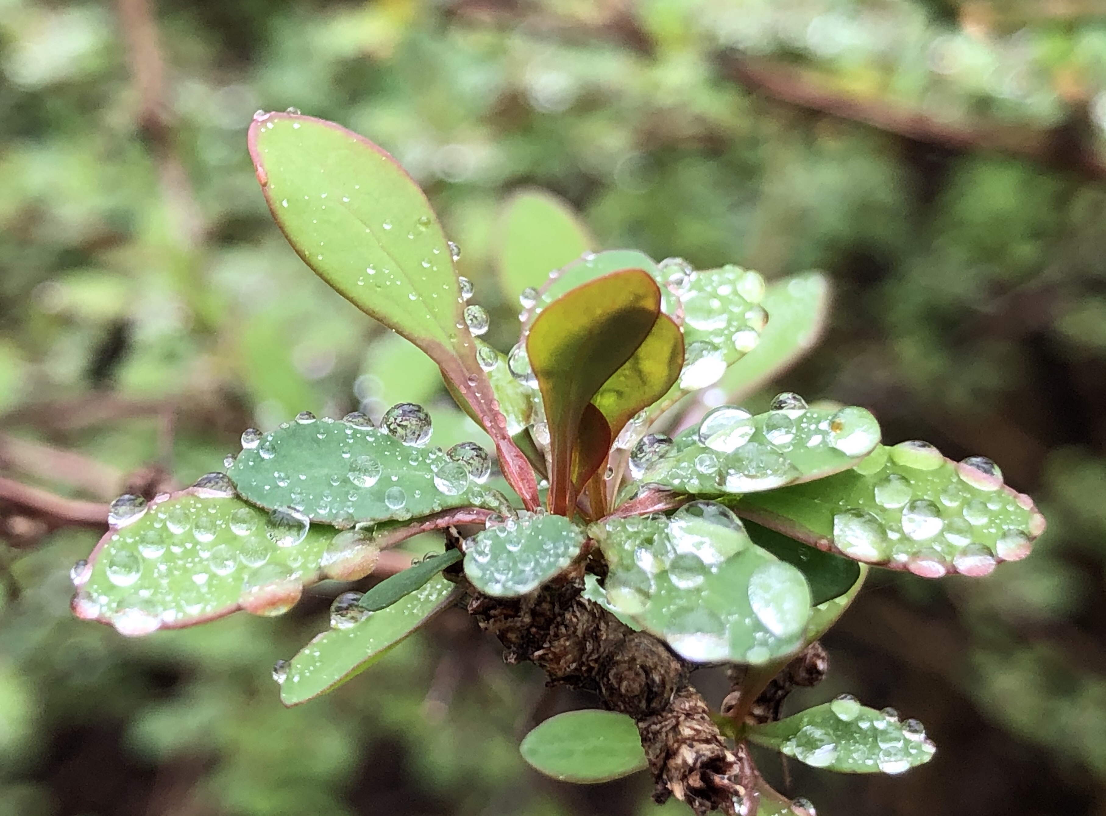
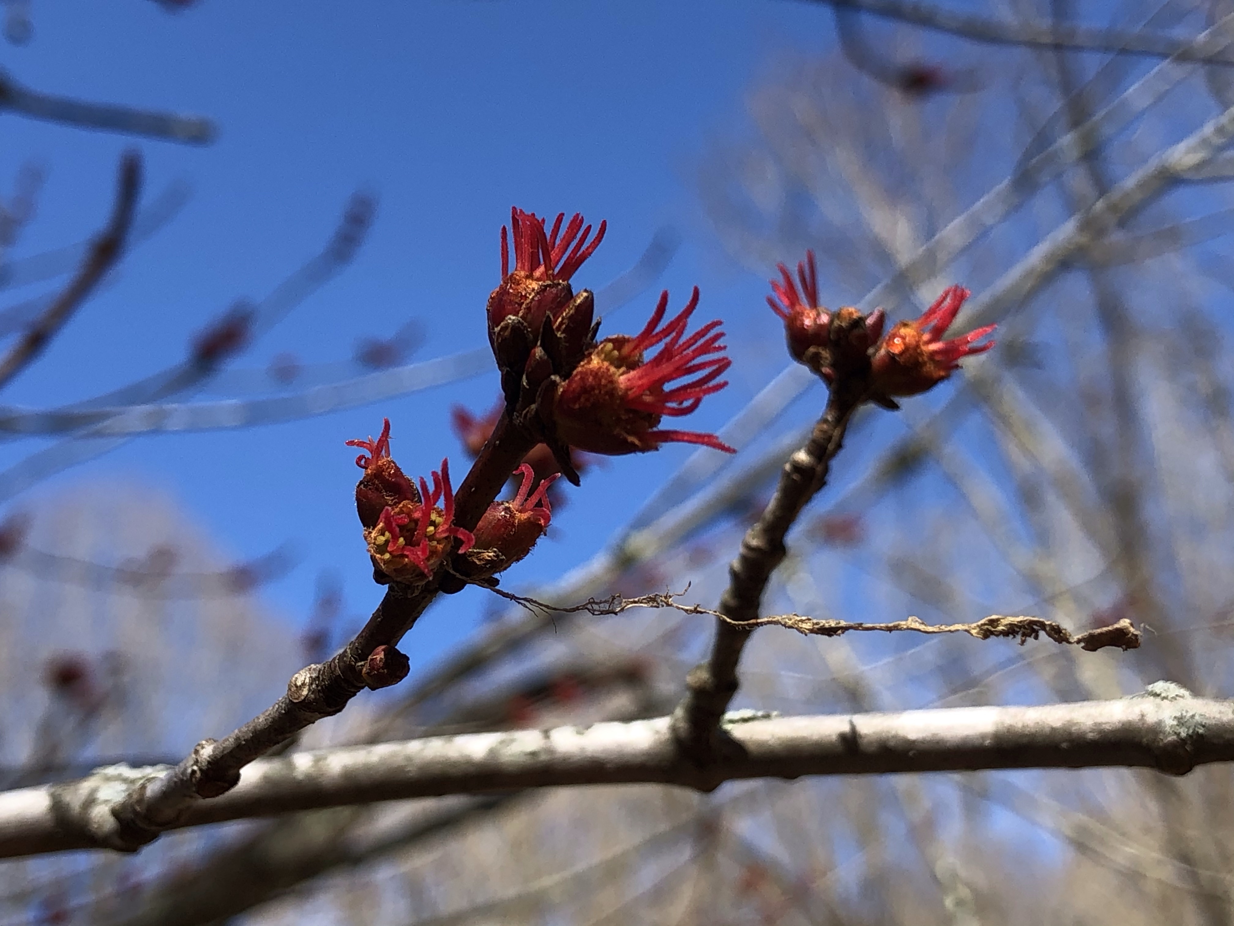
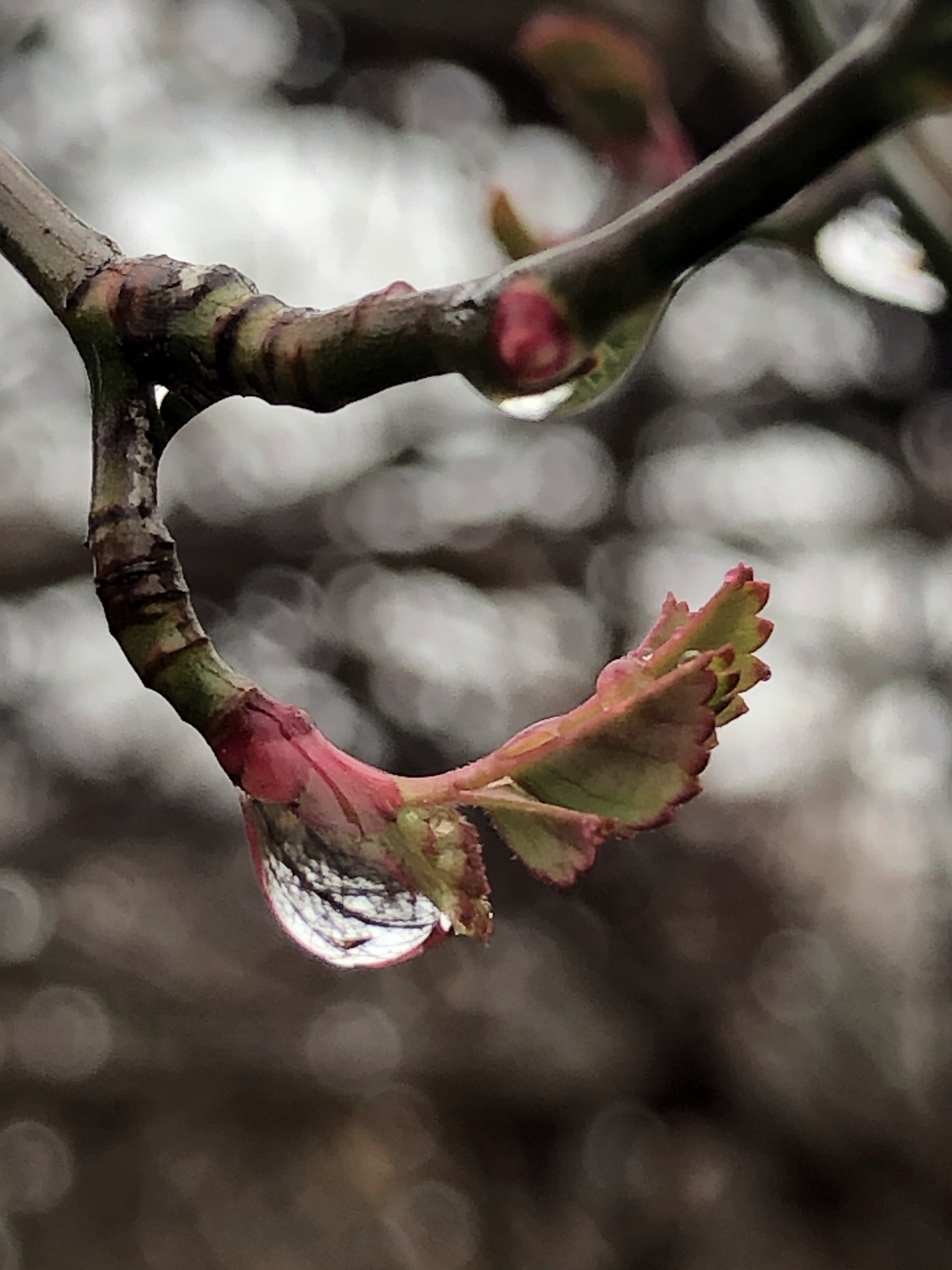
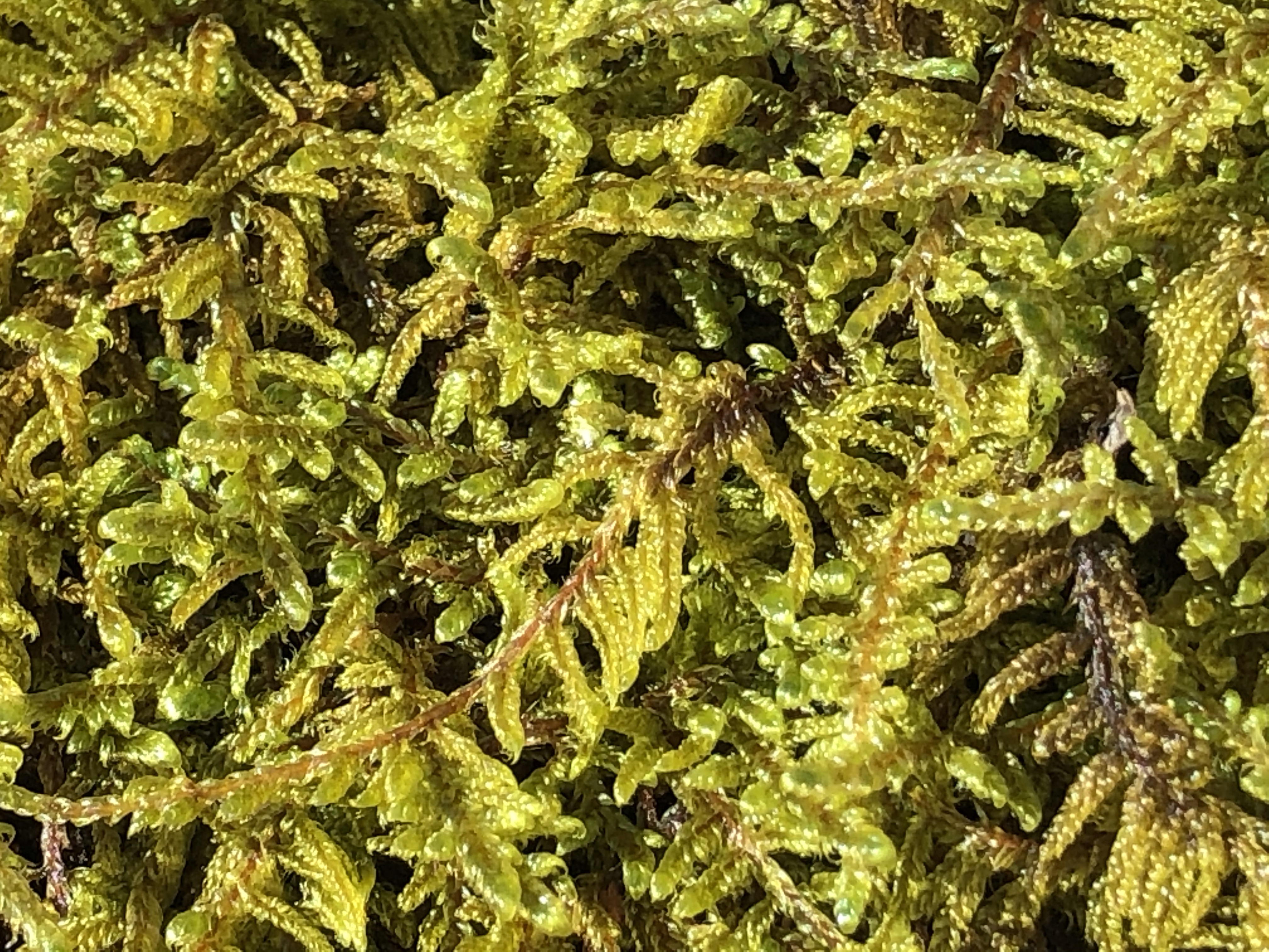
Ferns are growing everywhere on long hairy stems, just about to pop open, giving away to the spring air and sunshine.
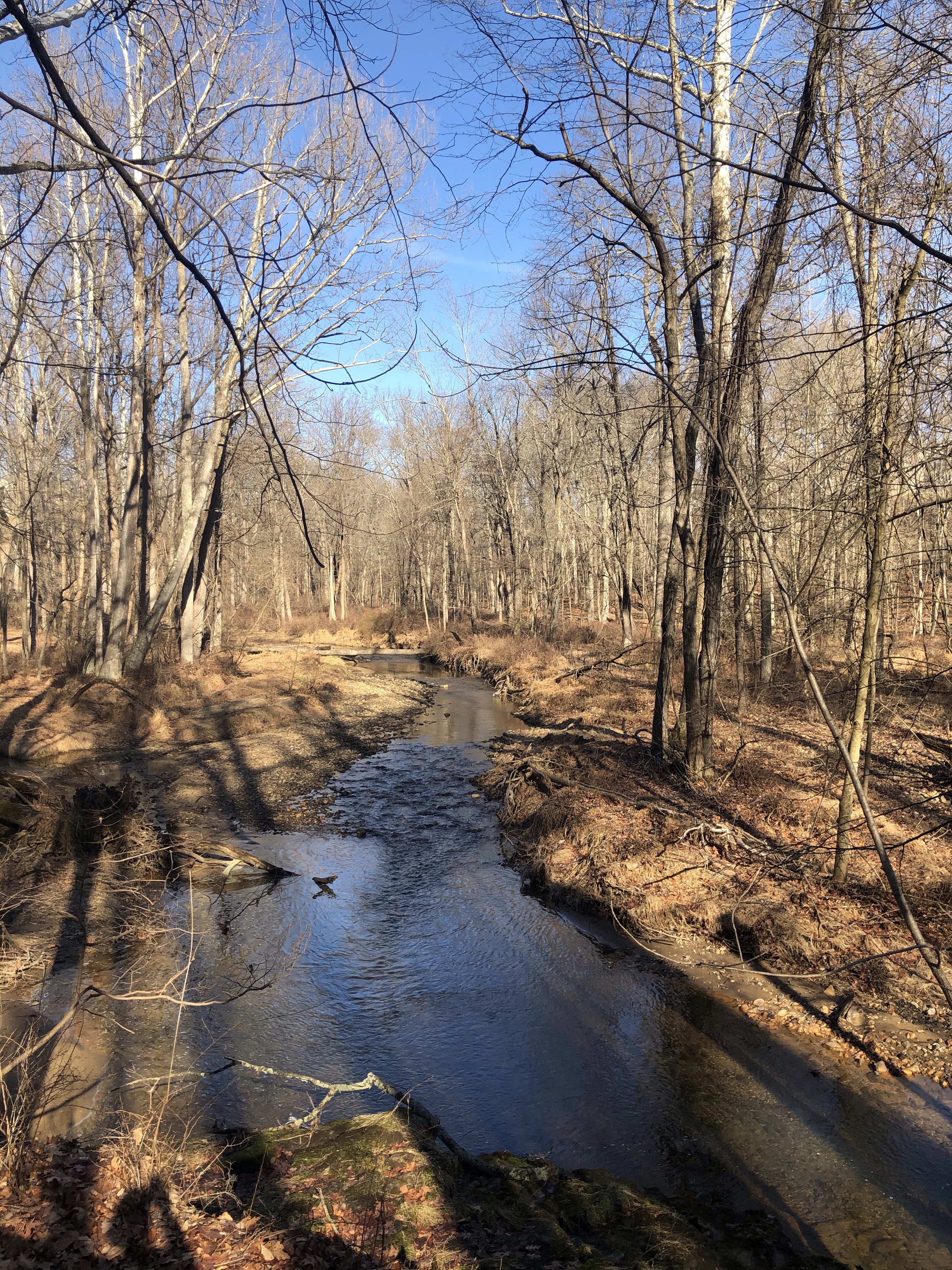
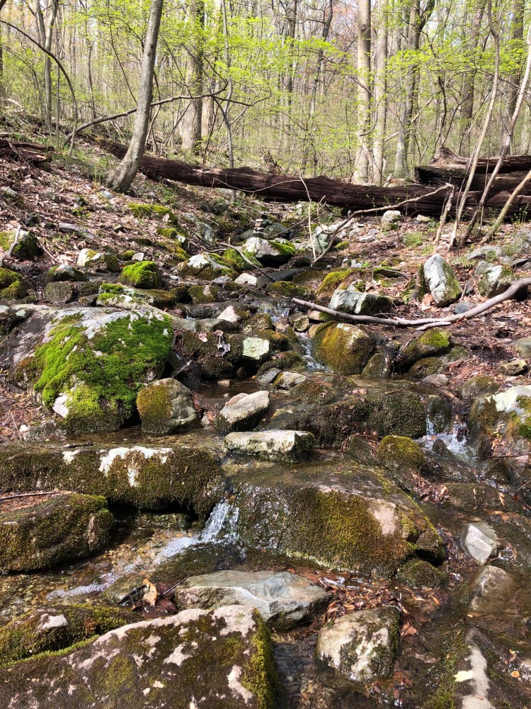
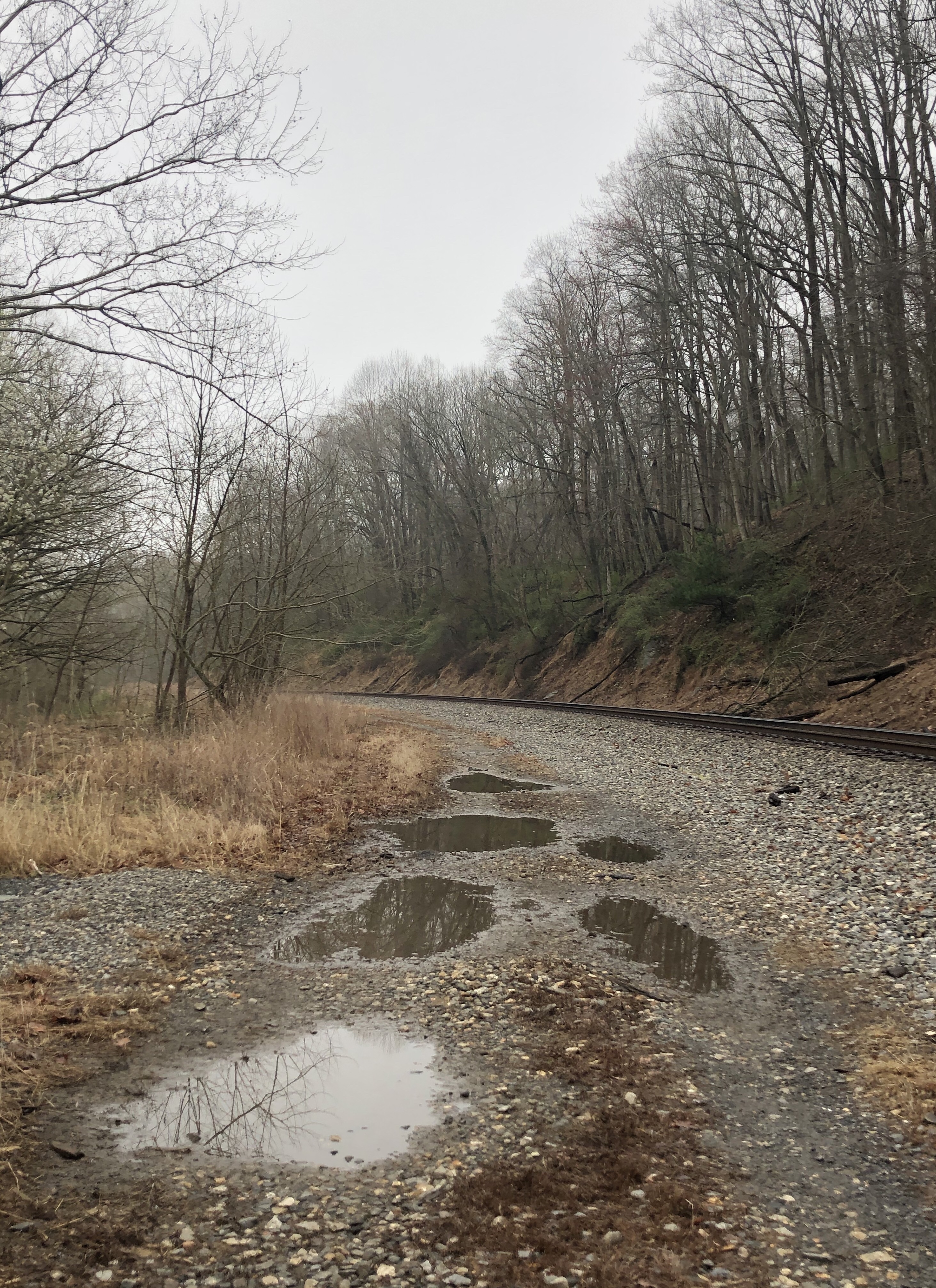
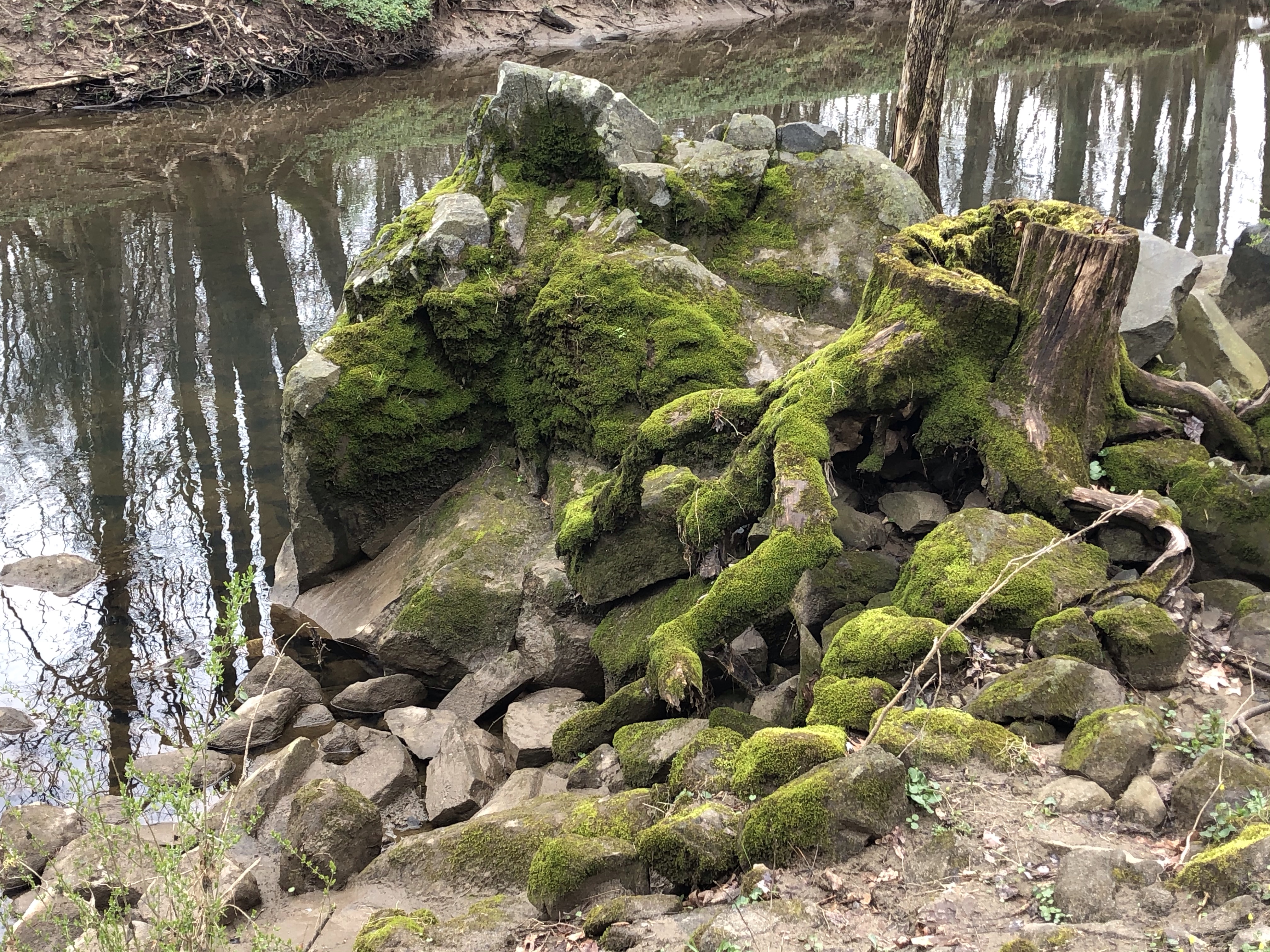
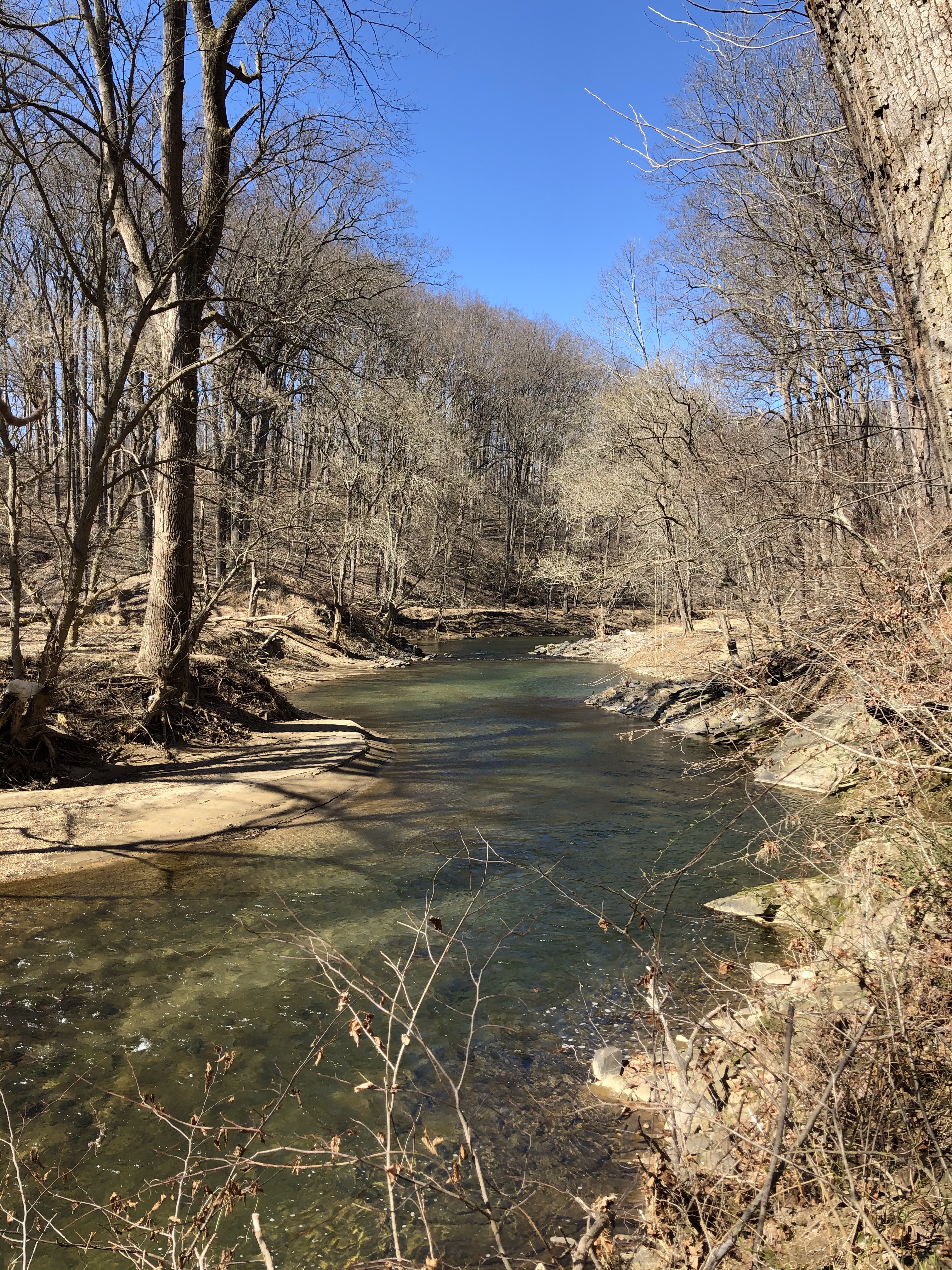
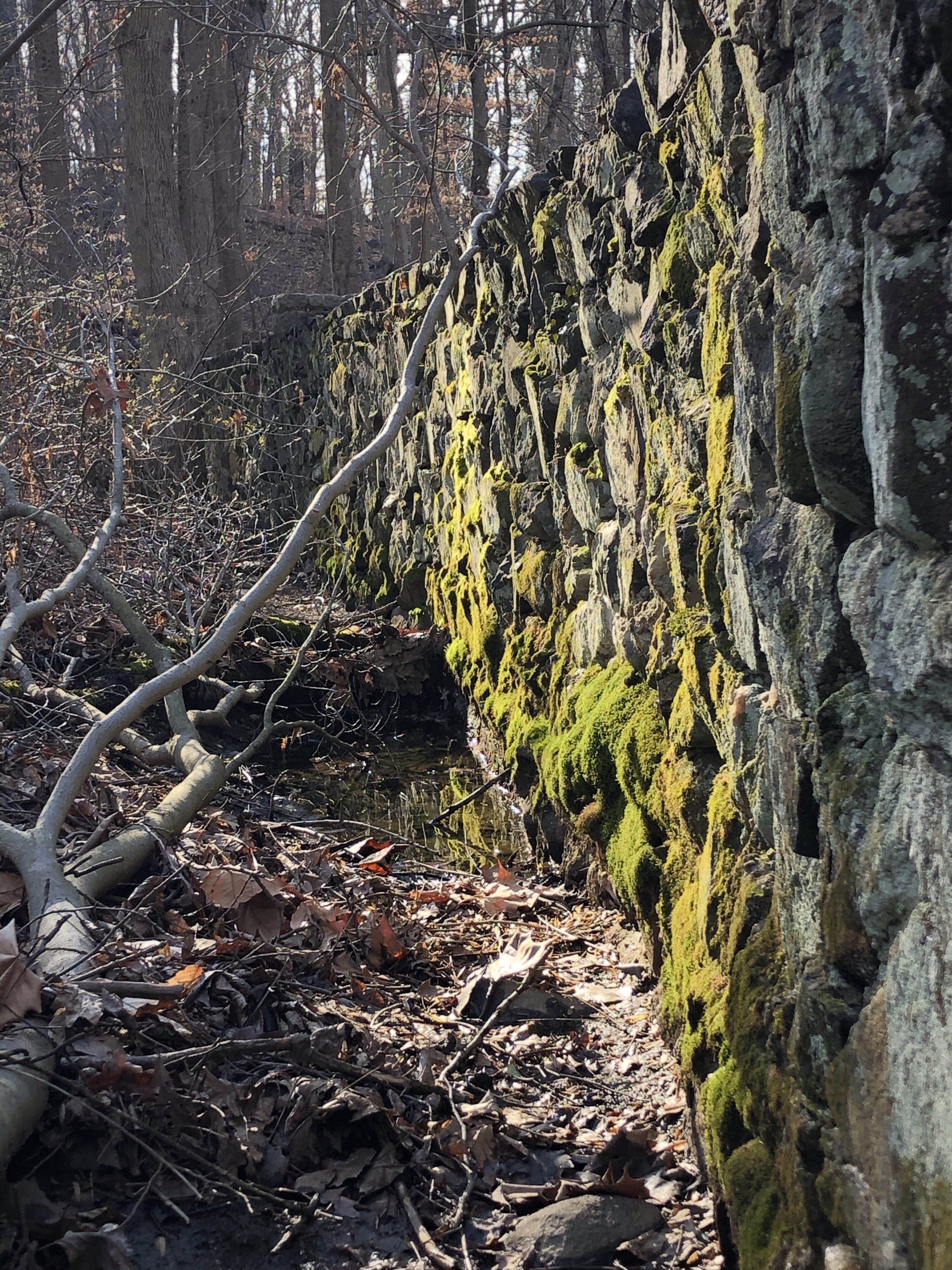
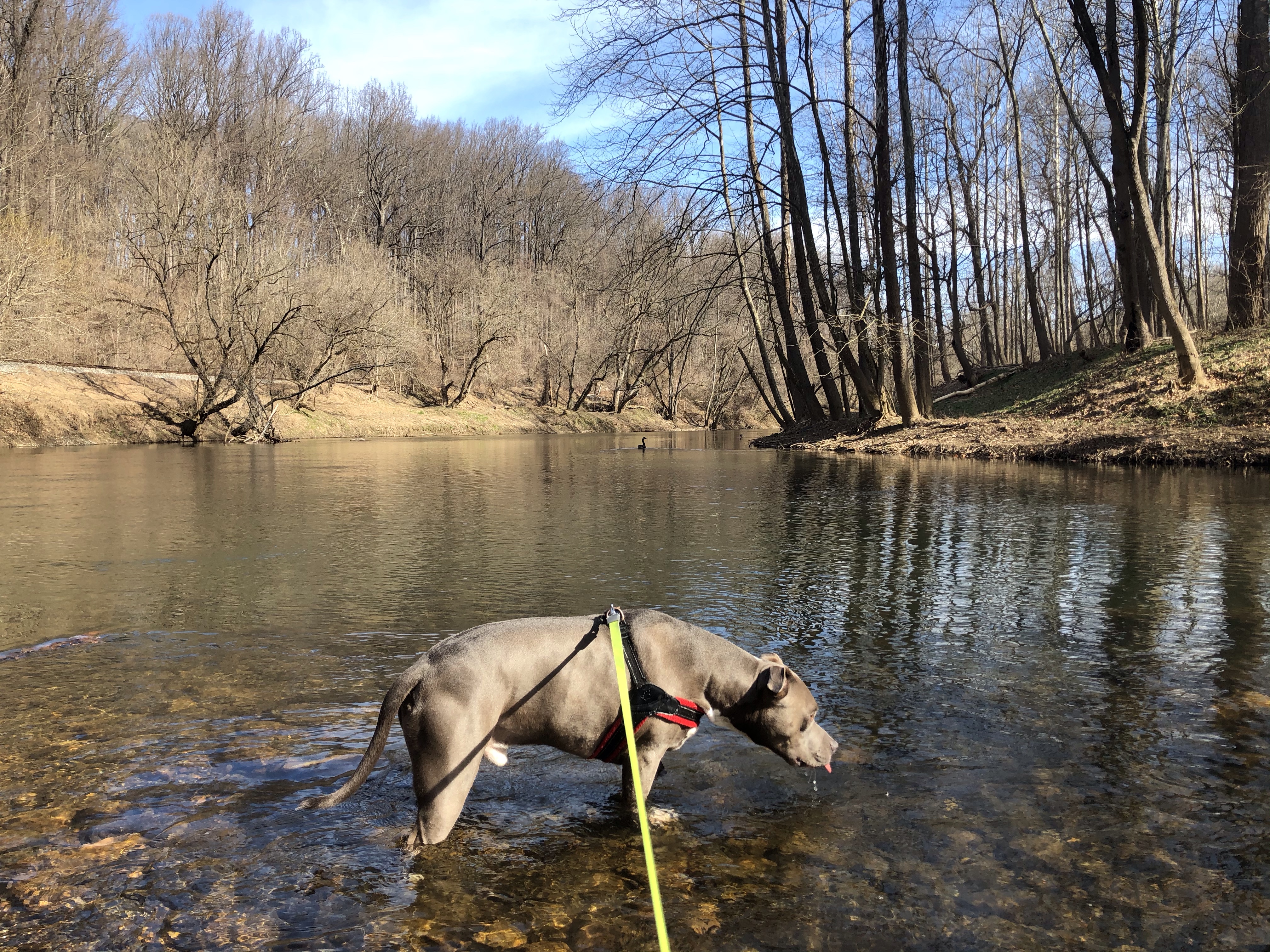
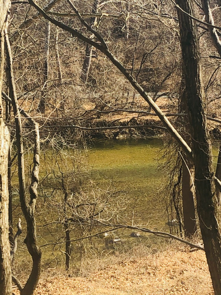
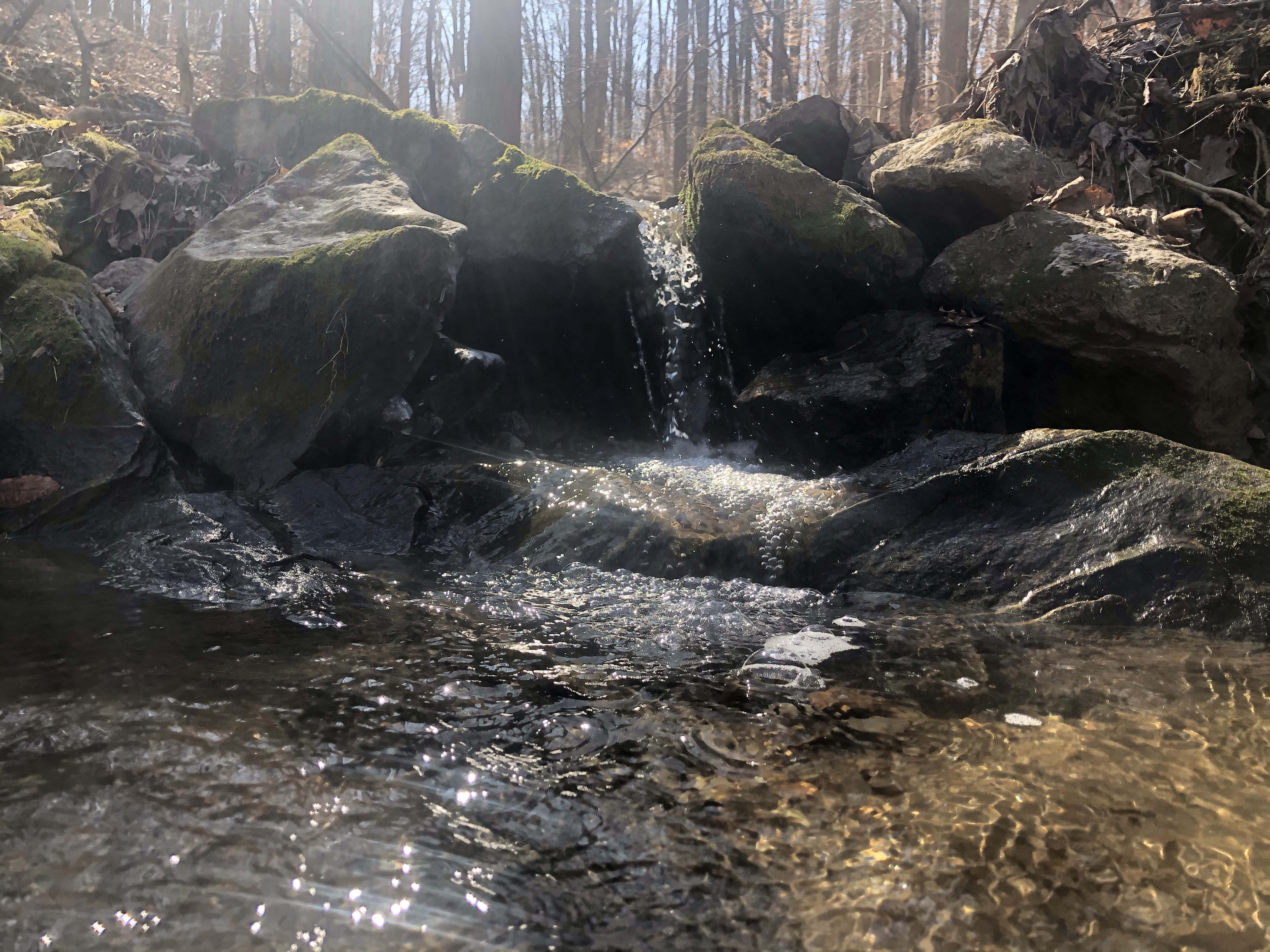
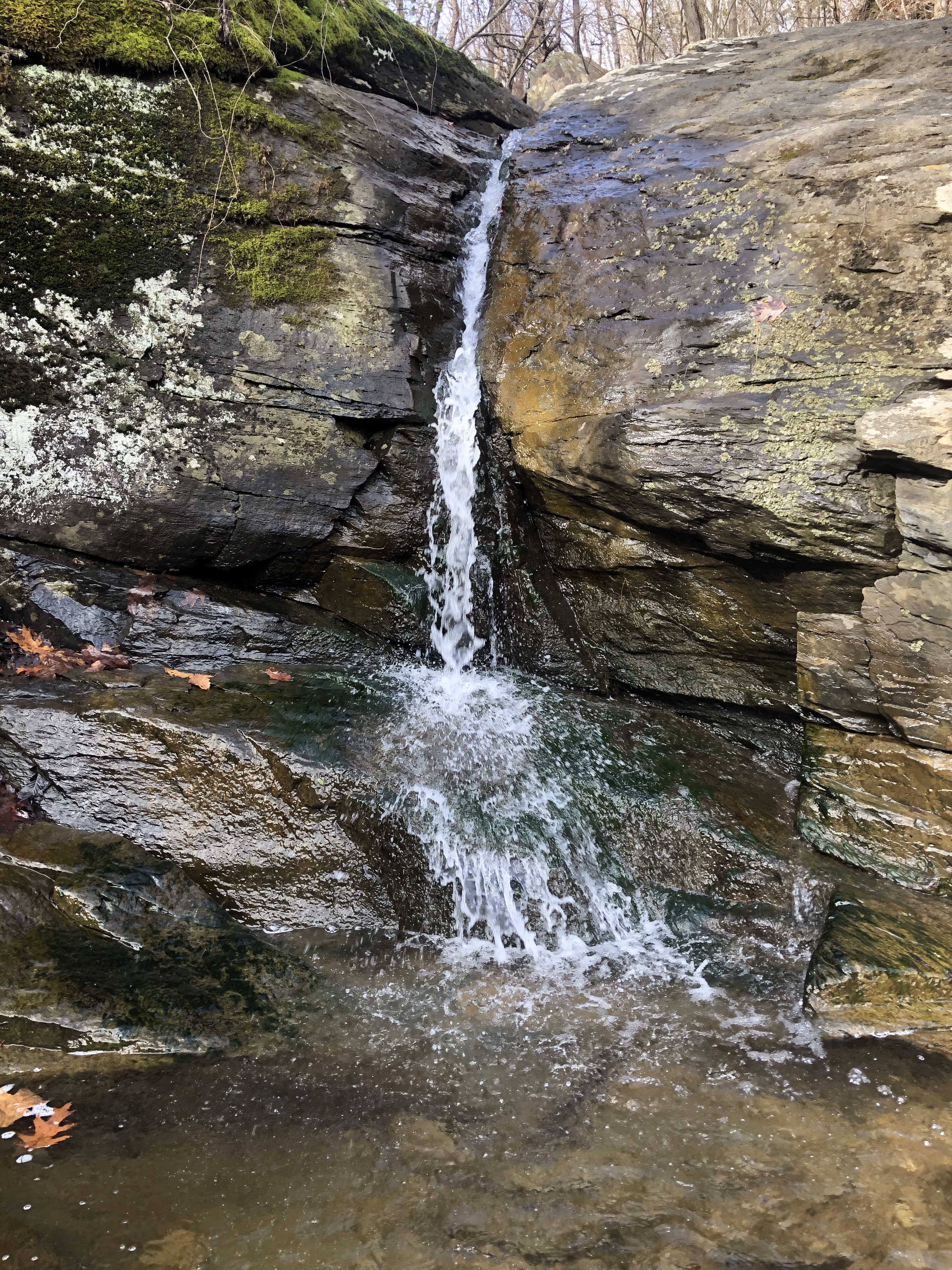
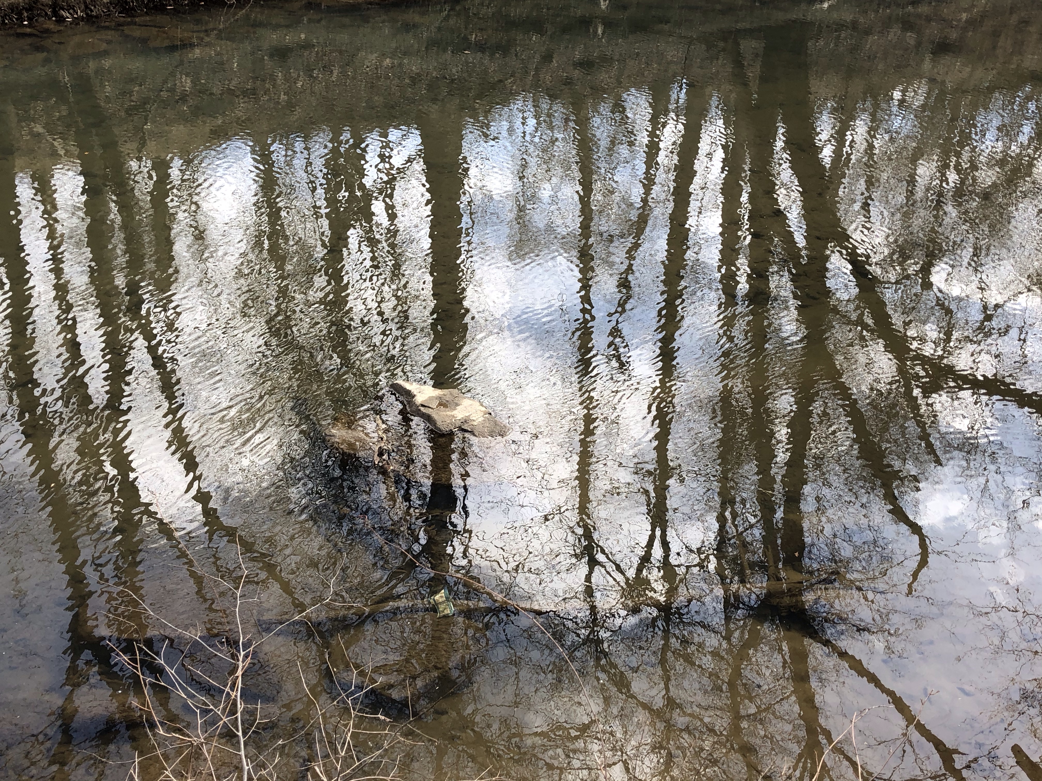
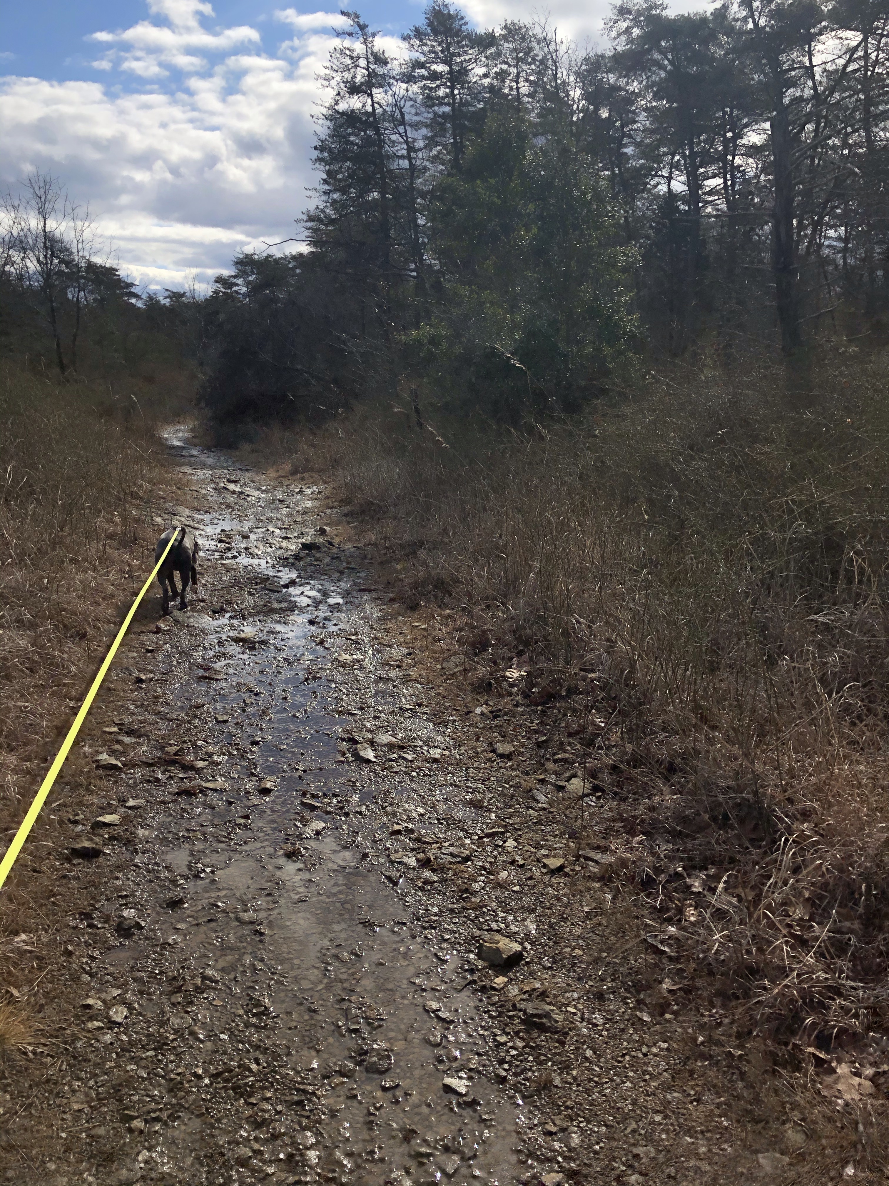
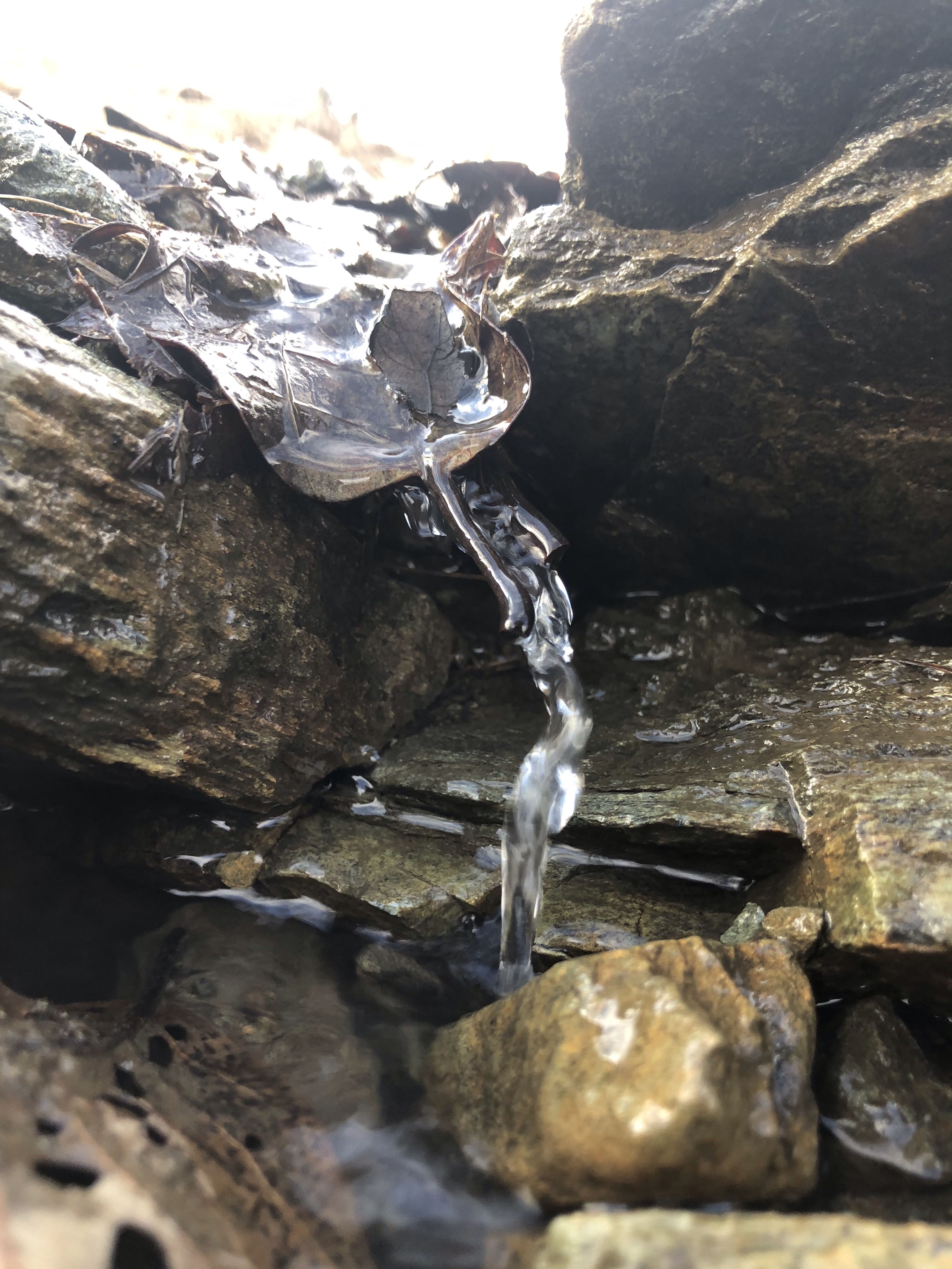
It’s another 0.2 miles to the top when we get to a small stream trickling over sort of a shallow “riverbed” made out of mossy rocks.
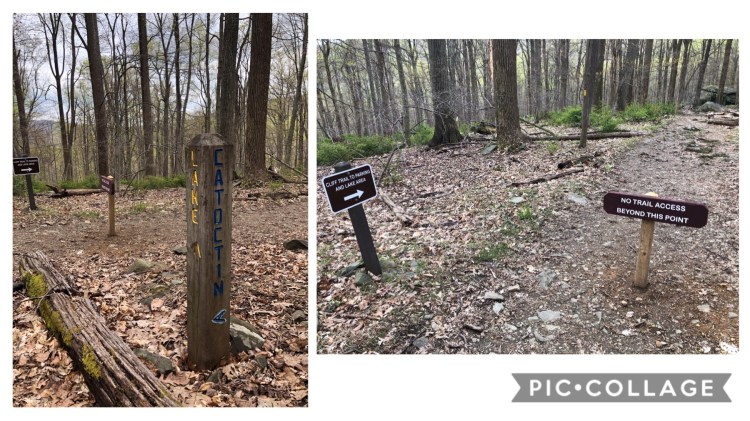
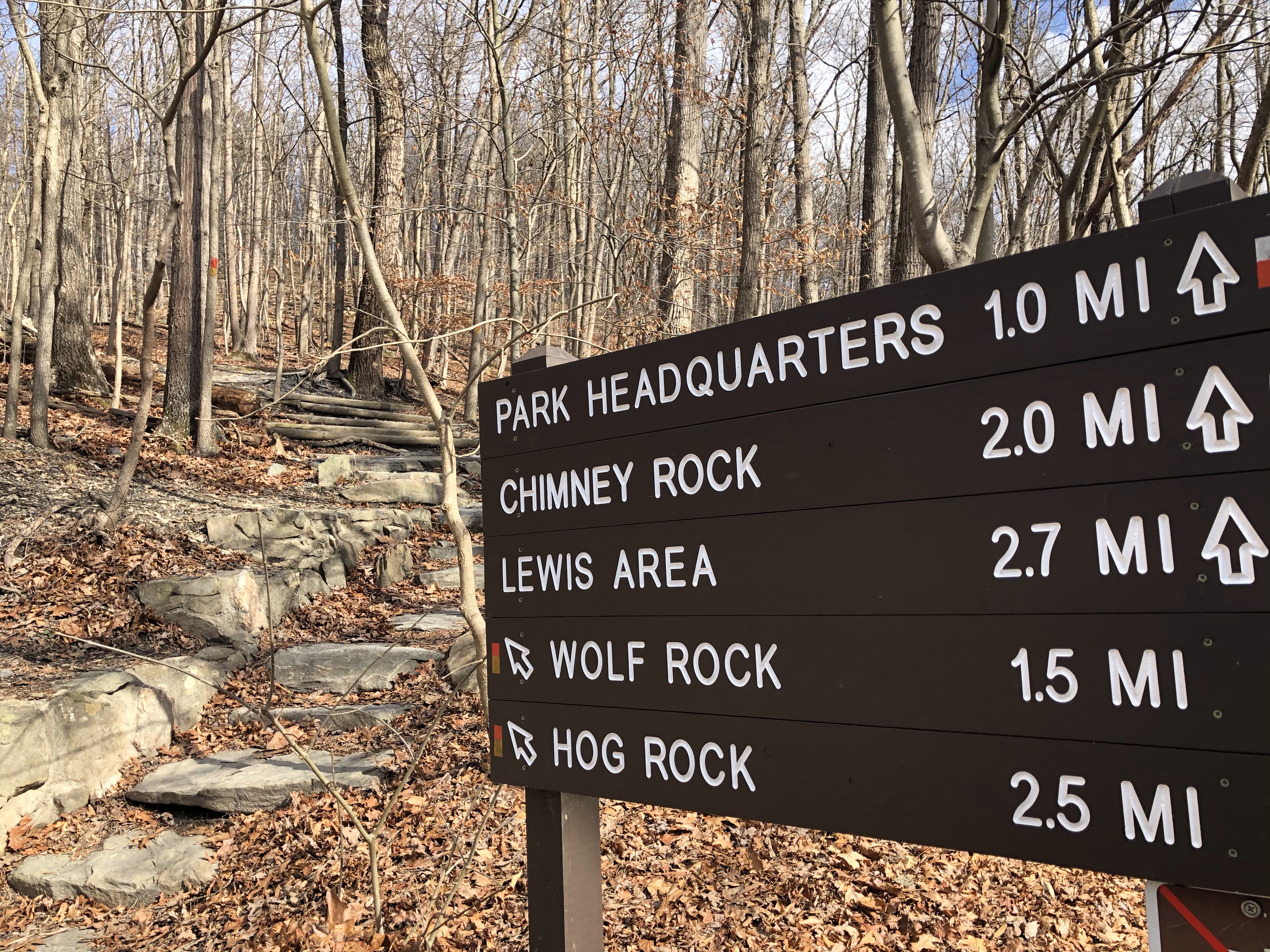
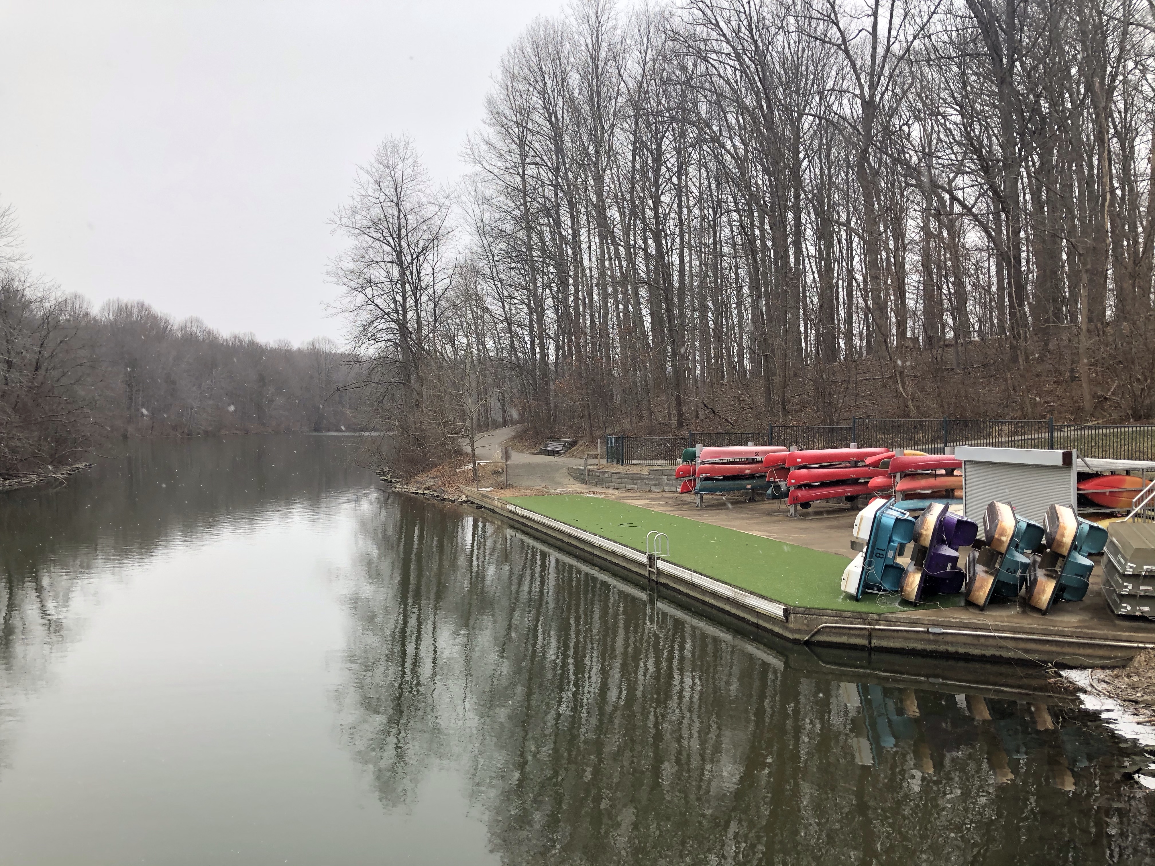
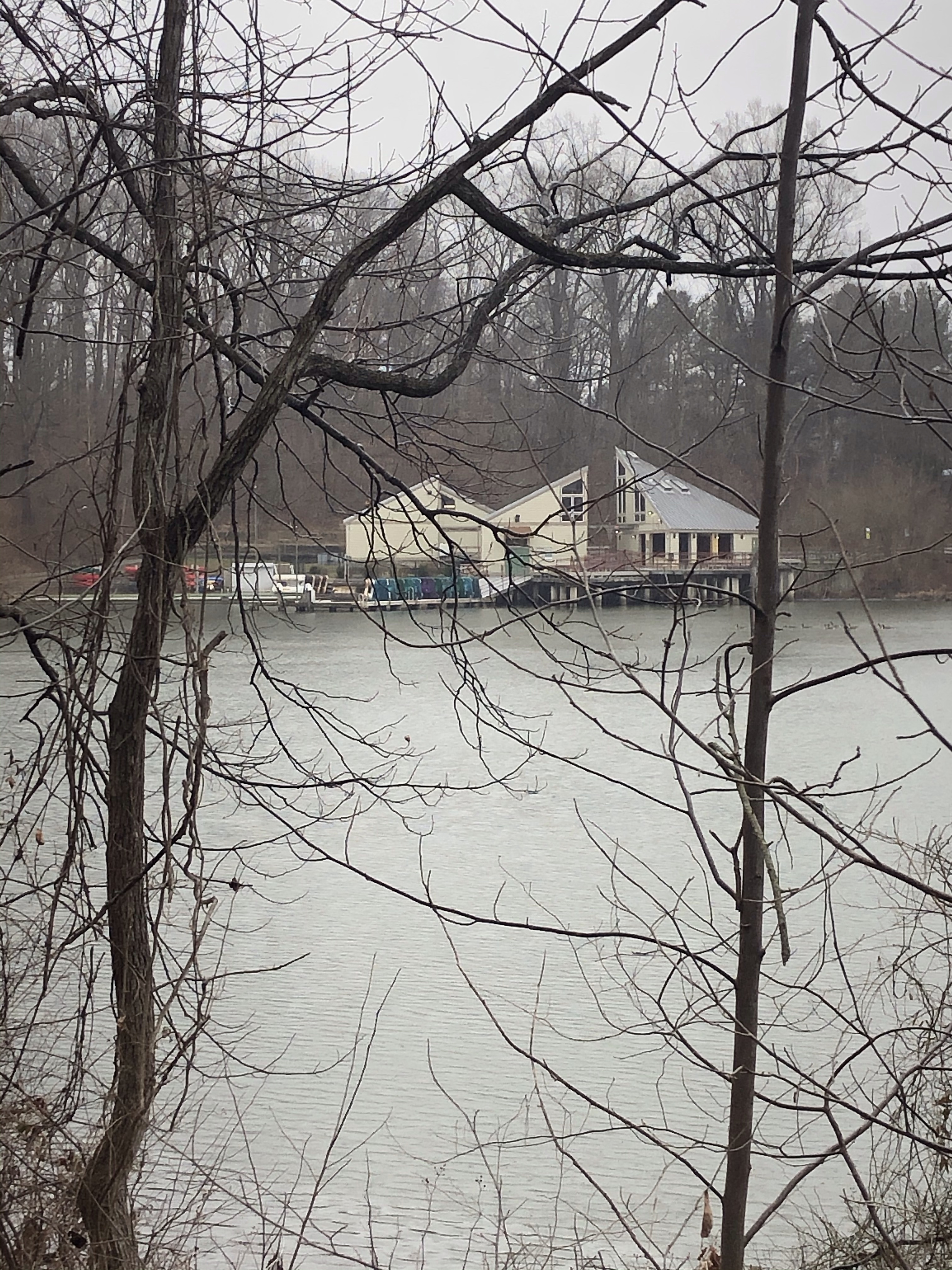
Almost at the top, a post marks Old Misery Trail (orange) on our right which would take us down to Hunting Creek Lake. We are going straight up though. The Lake area is closed anyway because of Covid.
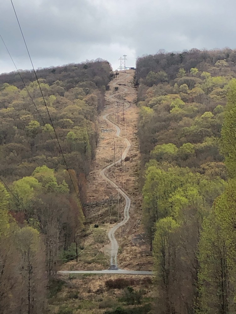
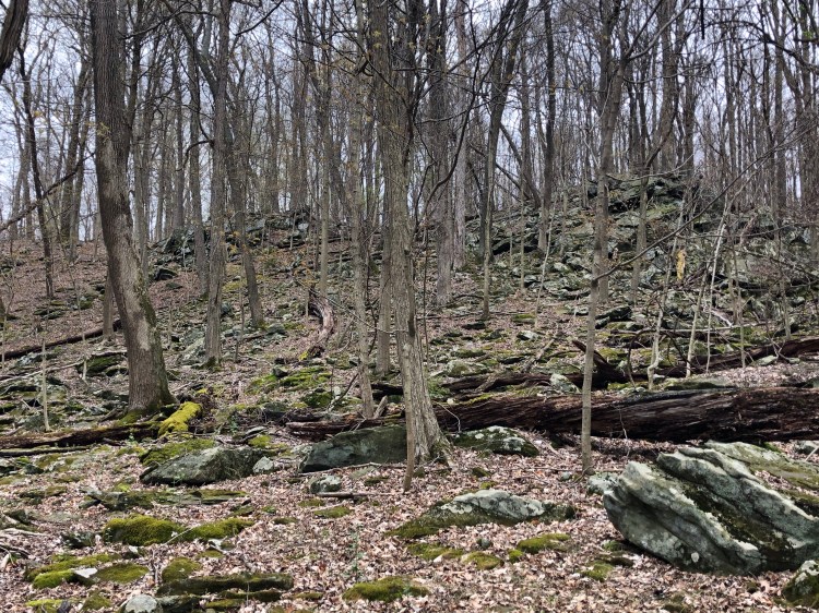
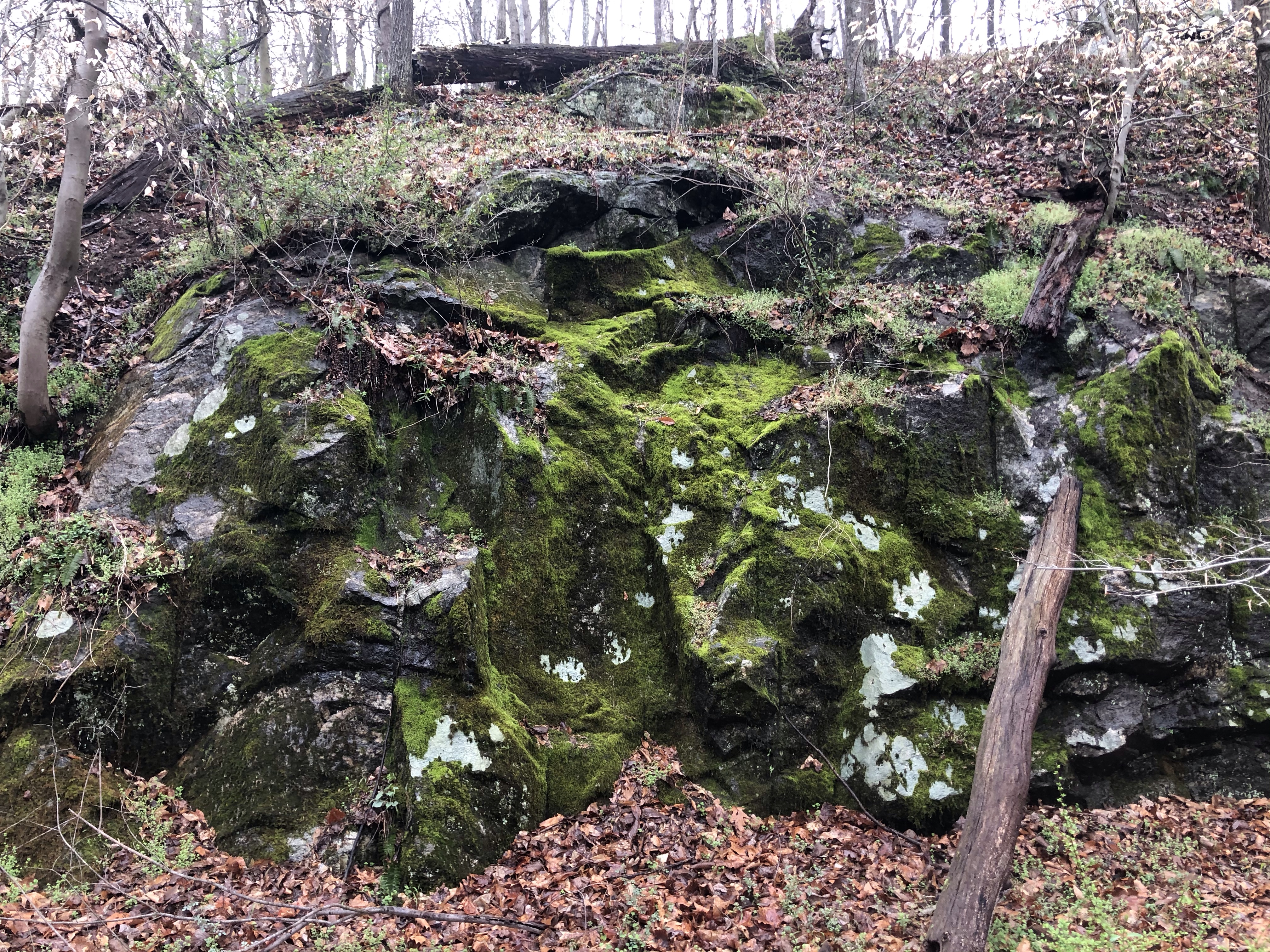
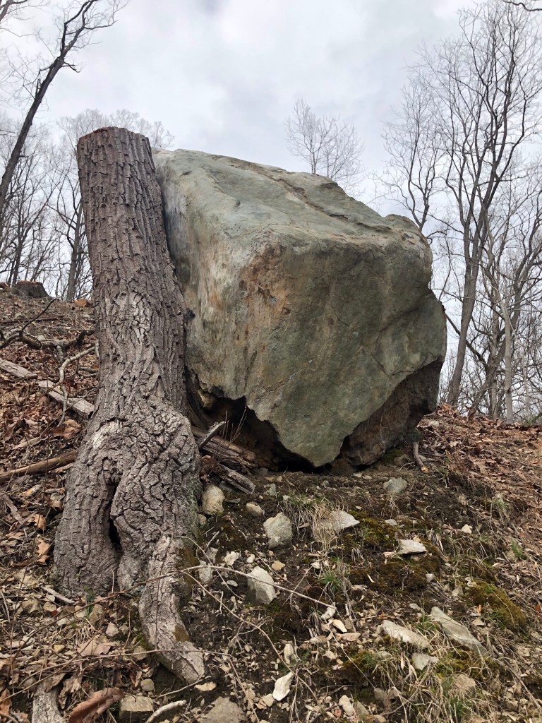
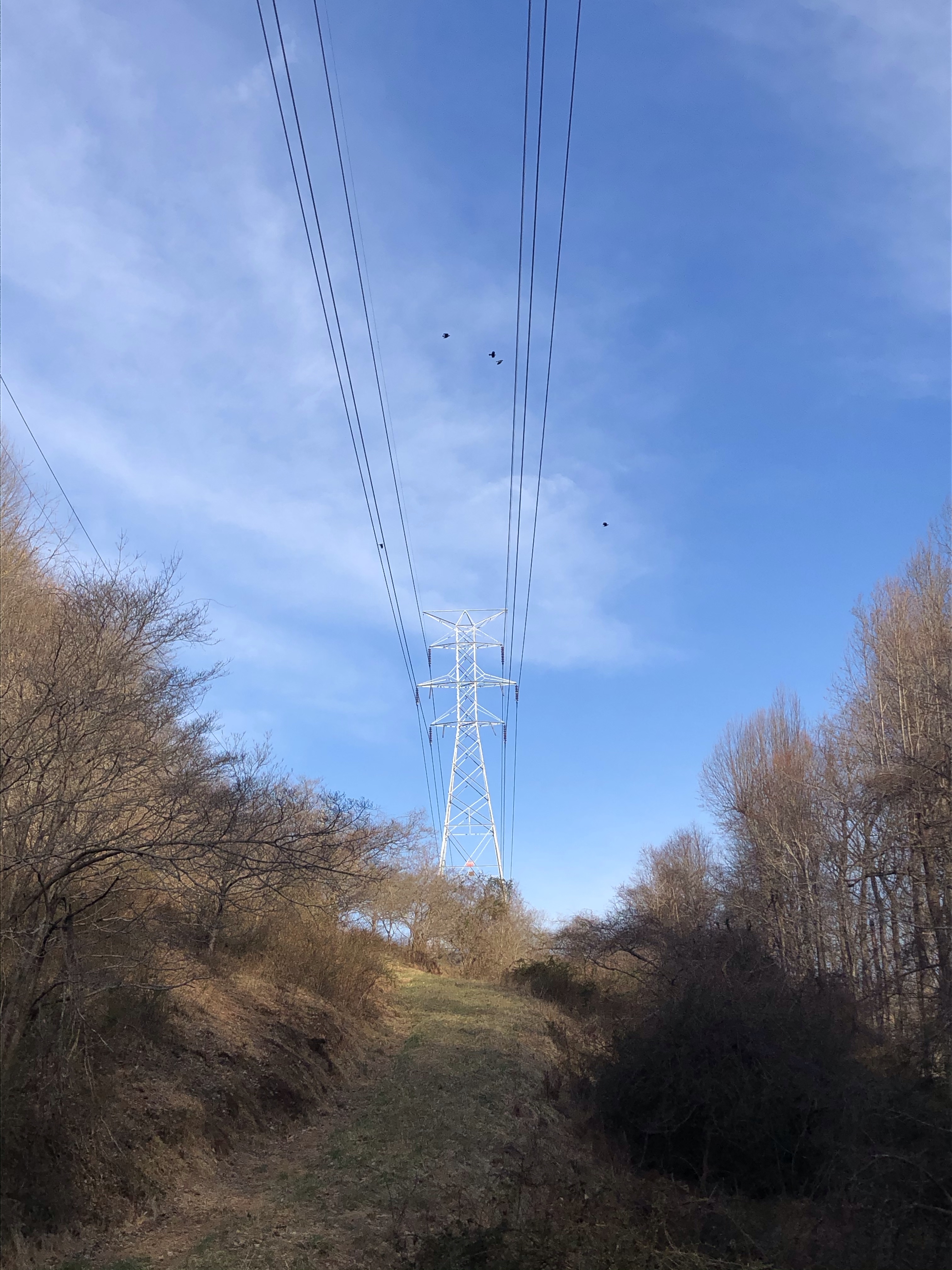
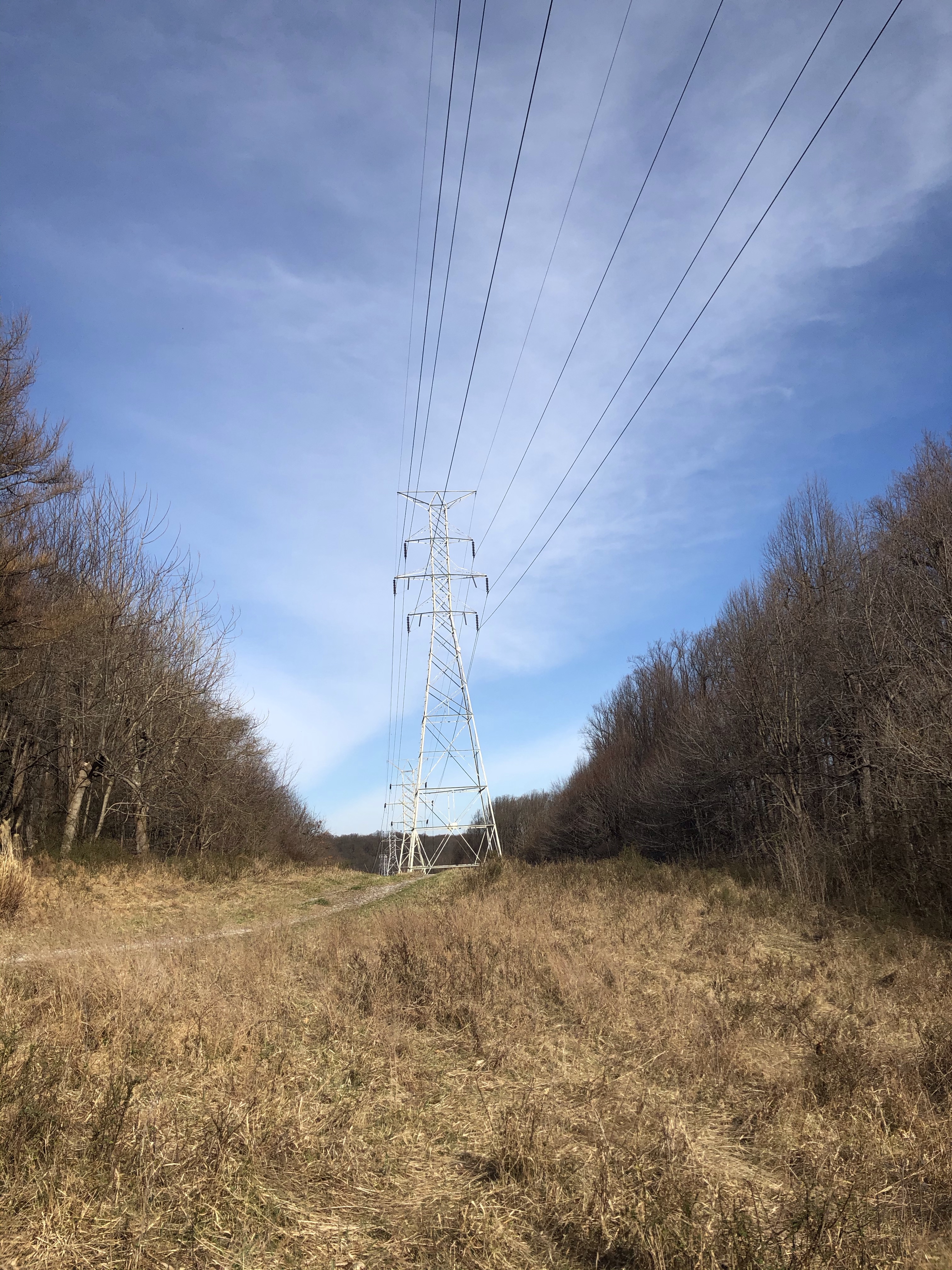
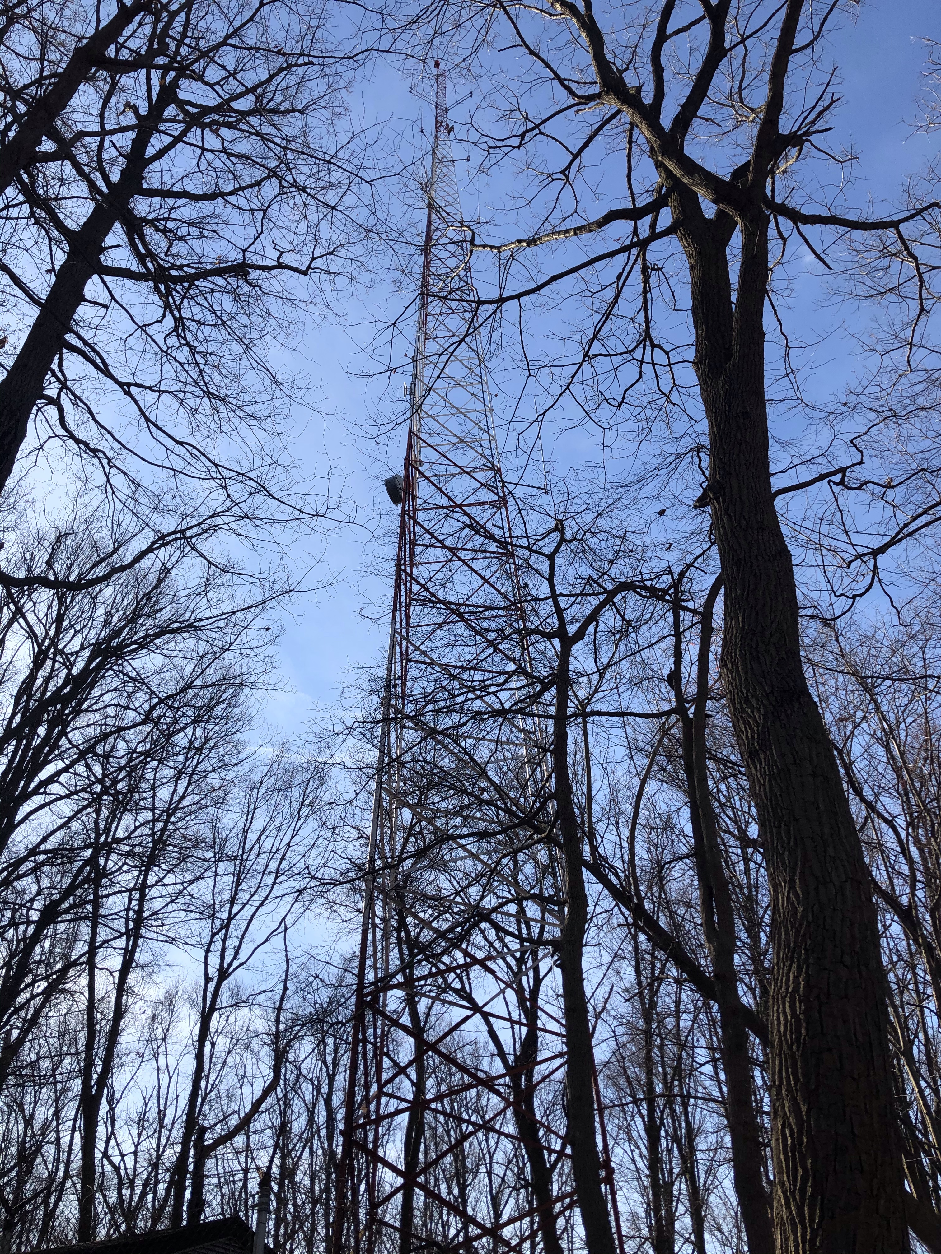
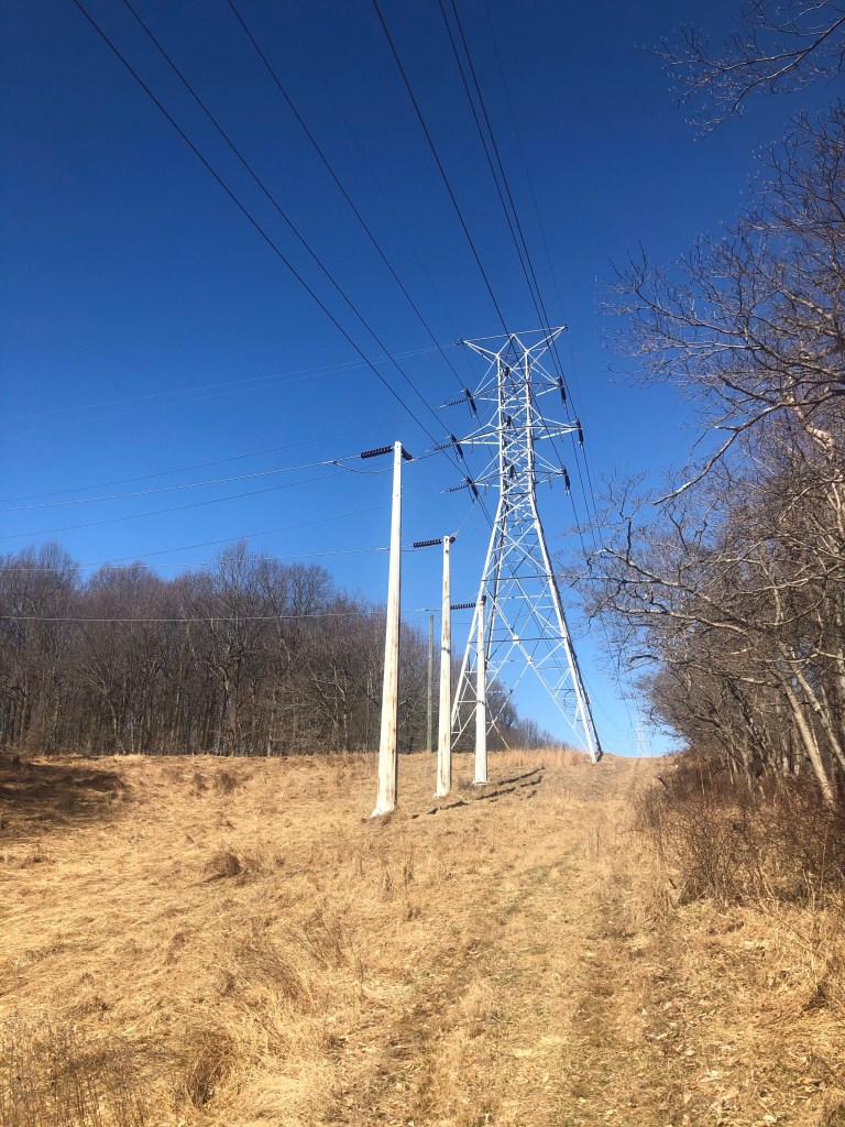
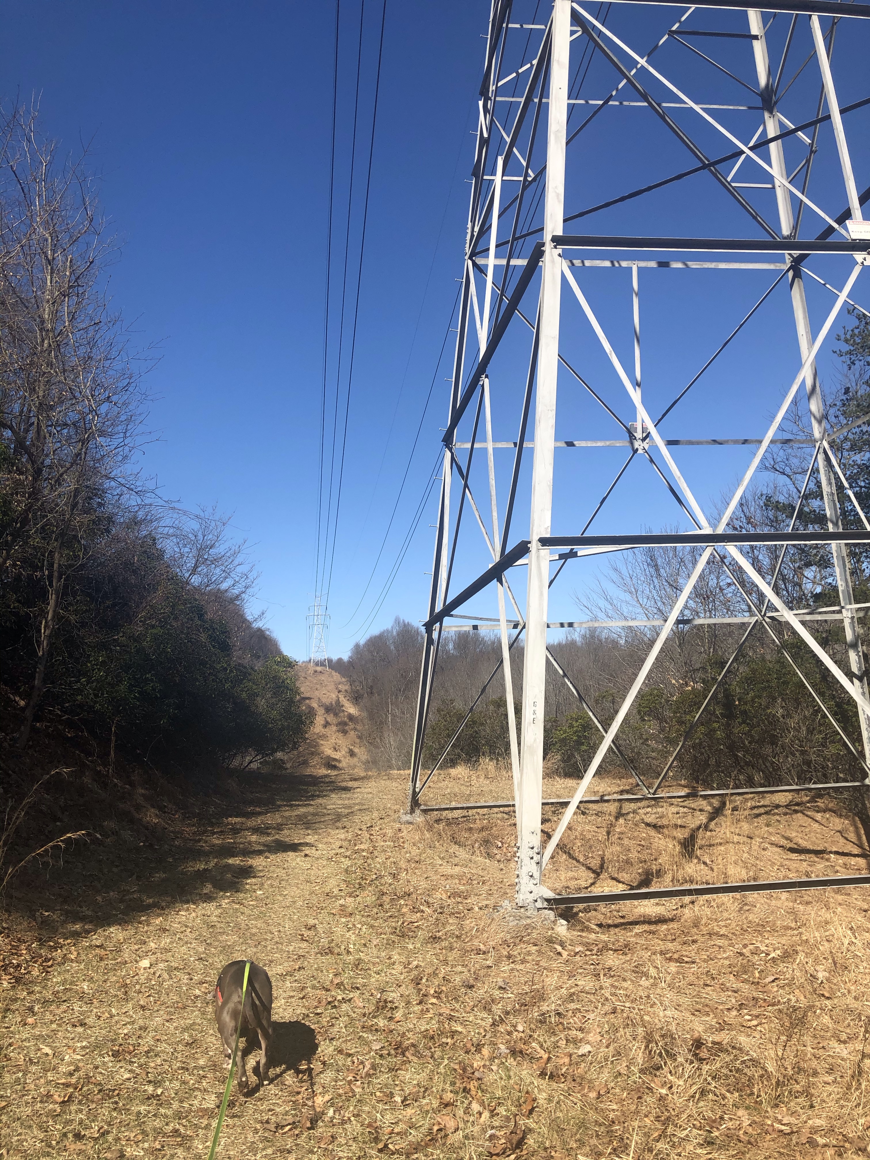
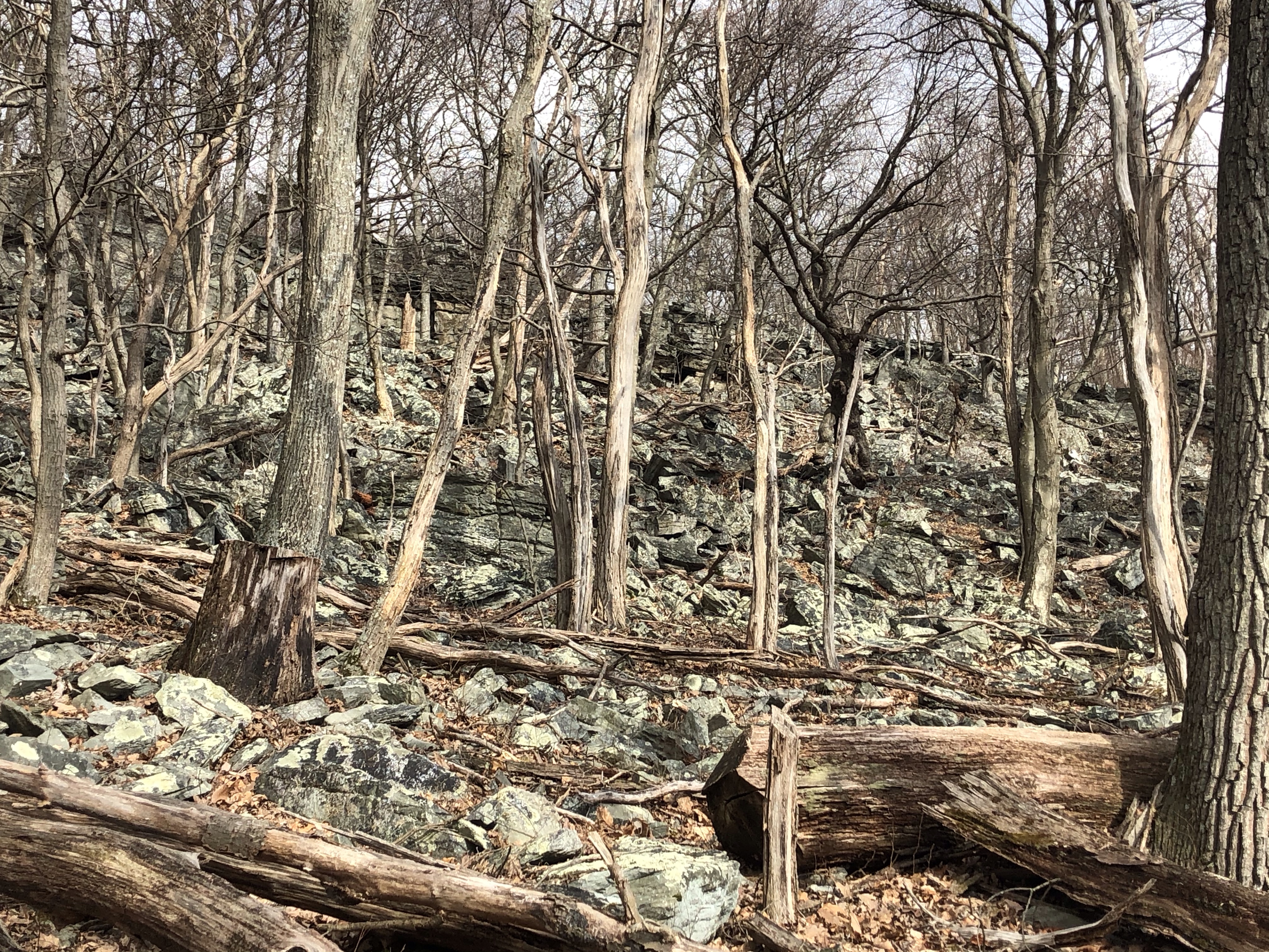
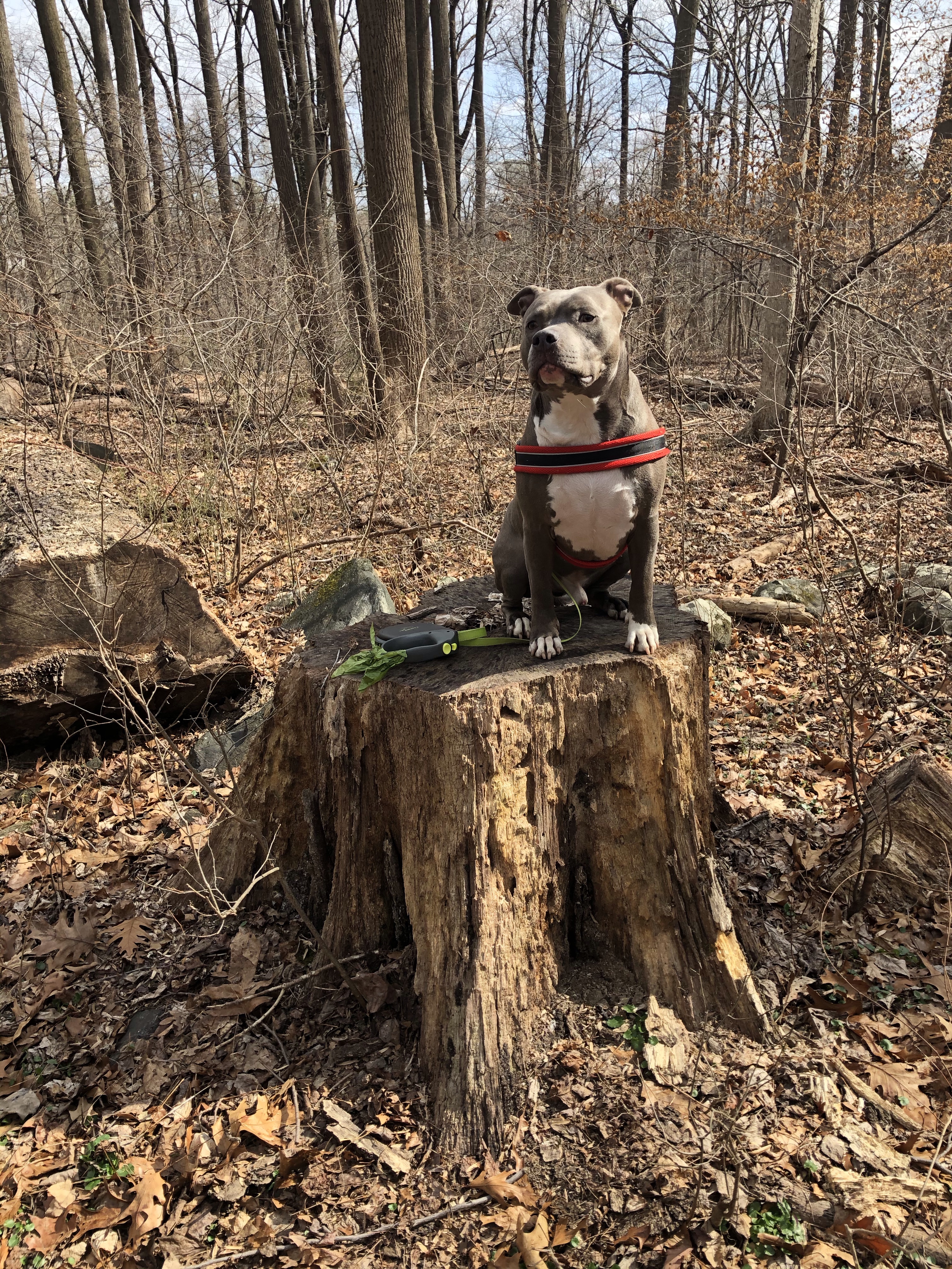
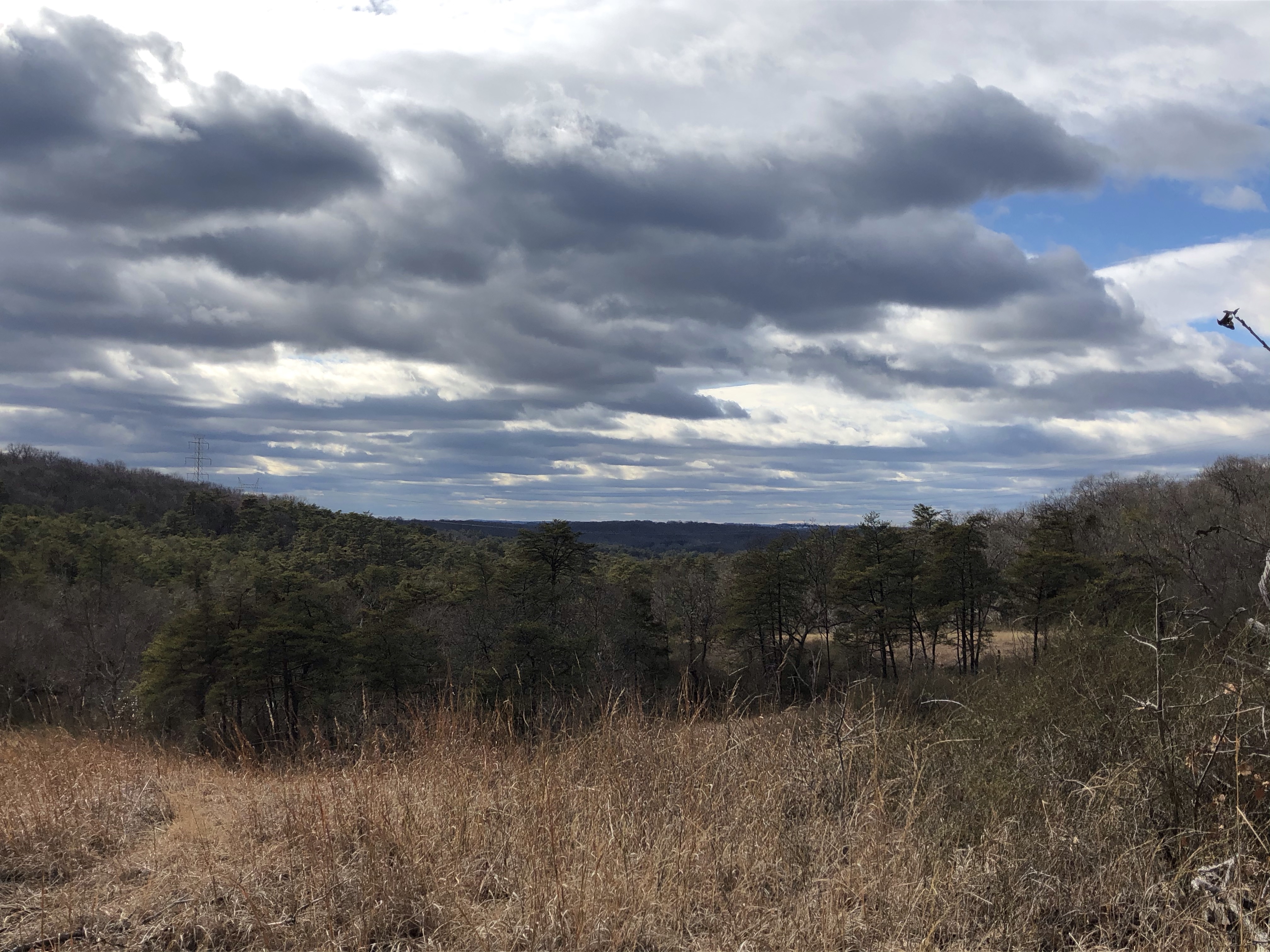
Just a minute longer and we are at the clearing for the power lines. There is a pretty big boulder calling our names. Unfortunately “stupid” was here before us and left broken glass at its base. Making careful moves we are still able to conquer the rock.
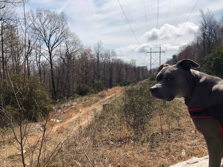
Taking a few minutes to chill then hopping off, we continue into the woods on the other side. (We could hike the power line “trail” as well. To the West it would take us to Catoctin Hollow Rd. and beyond – later we will cross it again – and to the East it would spit us out on Pryor Rd.) I was lying before….the trail is still going uphill. This pitstop wasn’t the top.
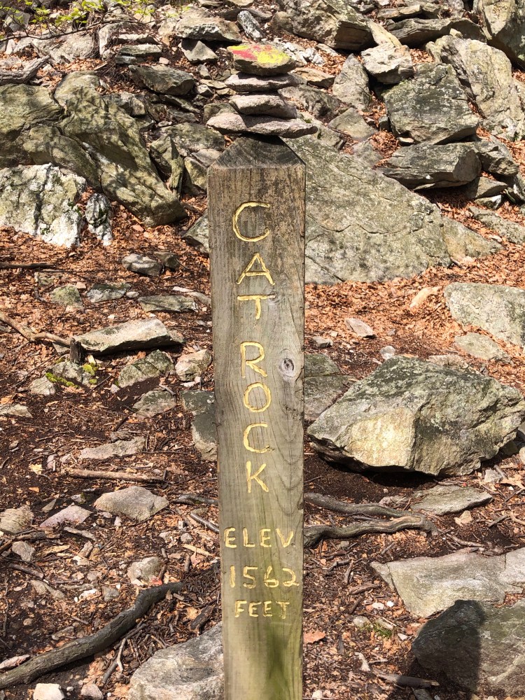
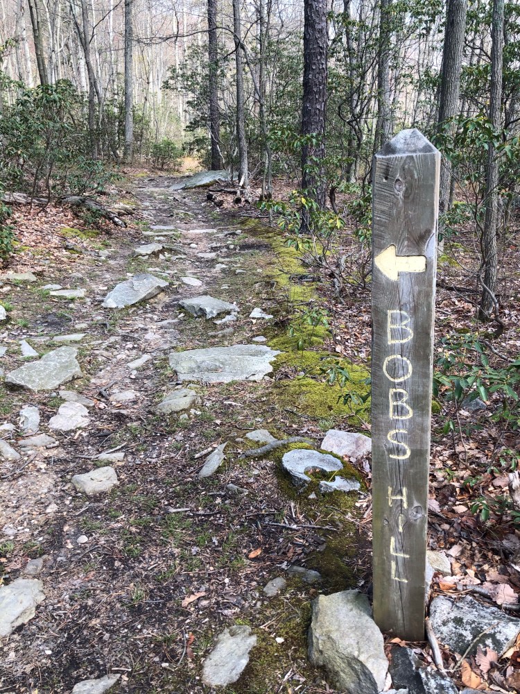
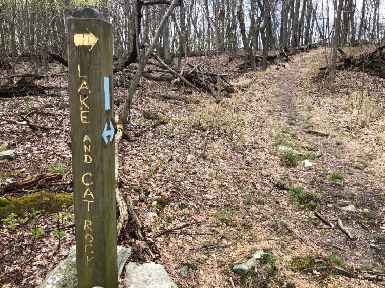
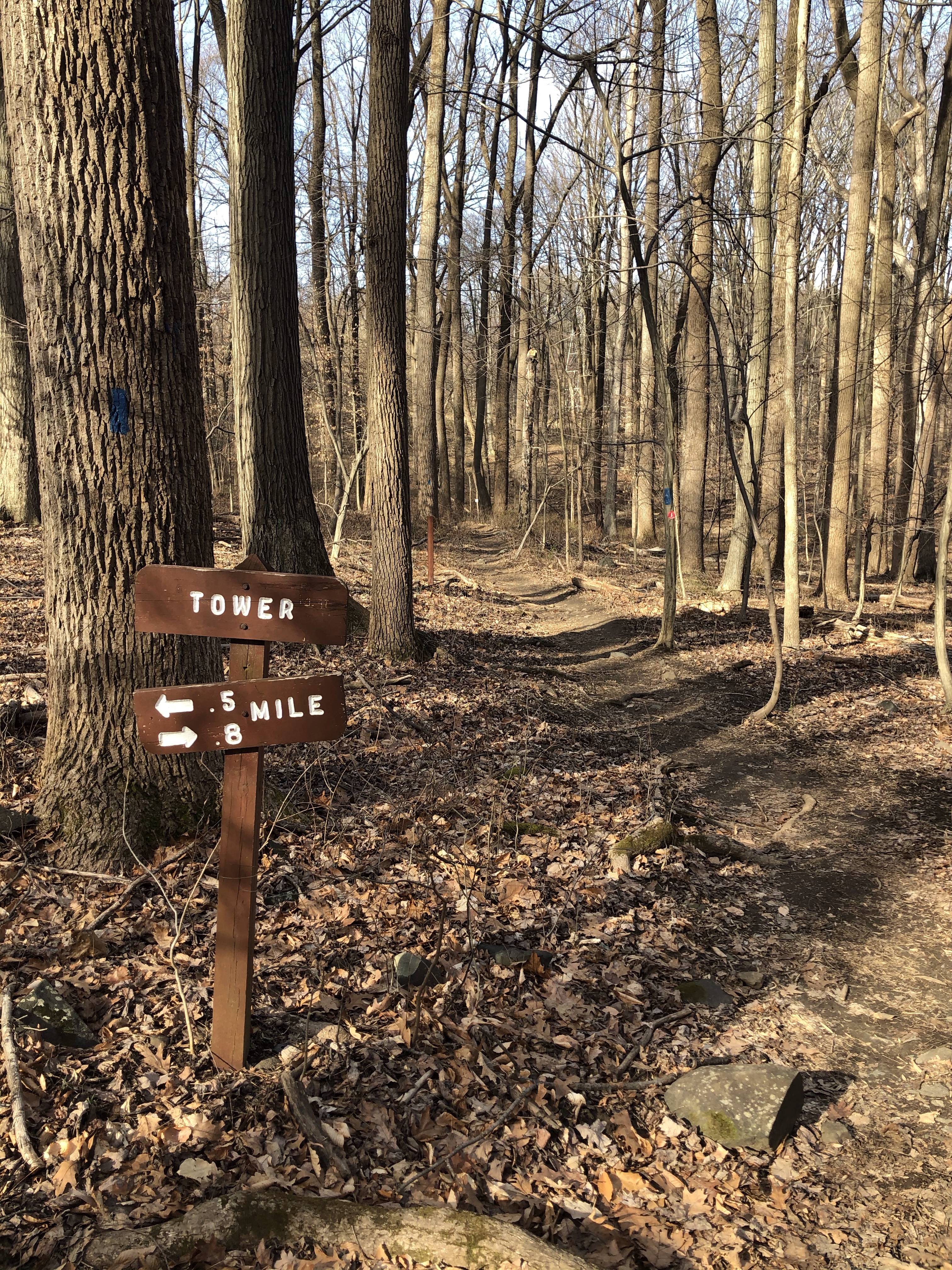
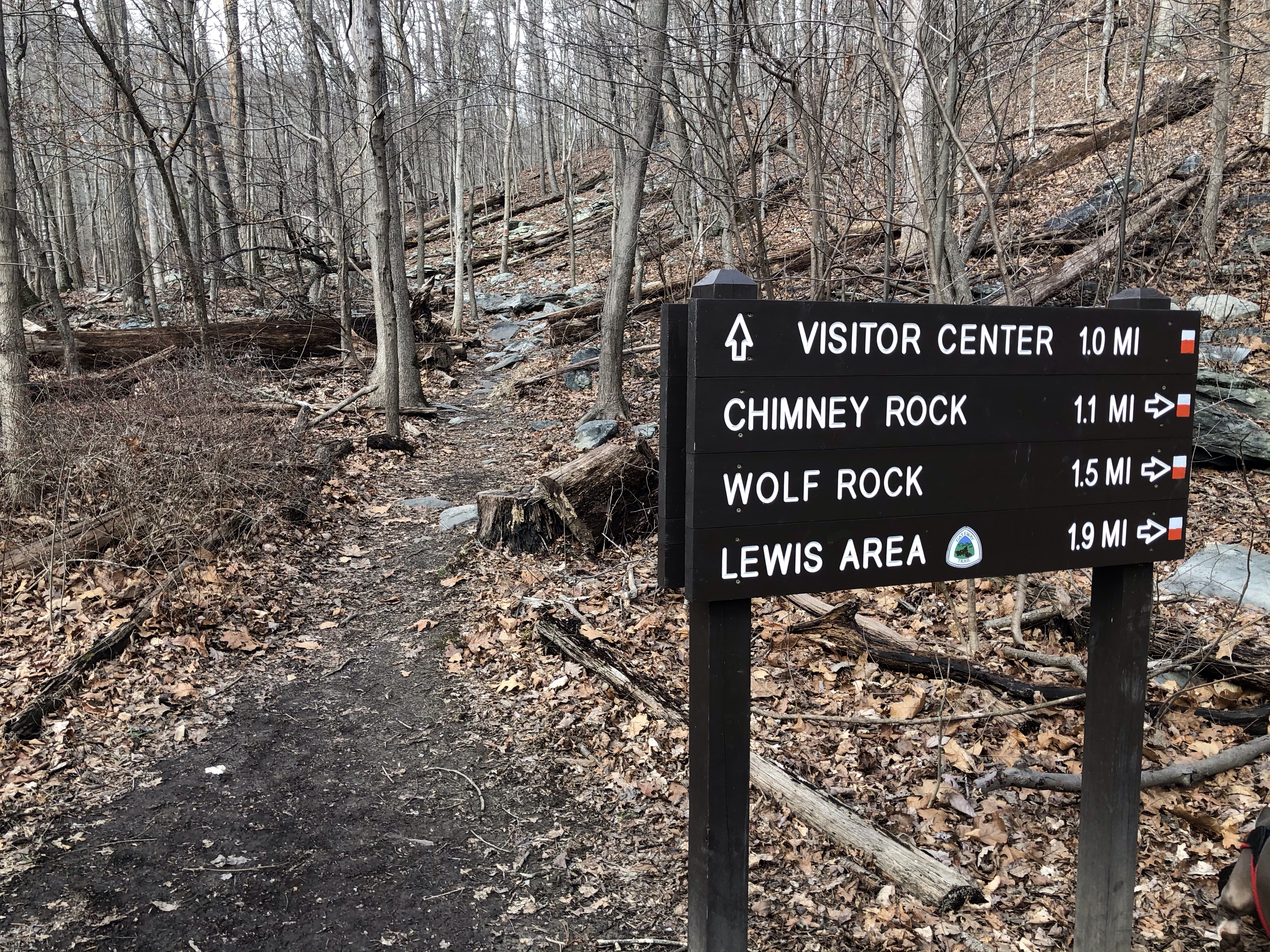
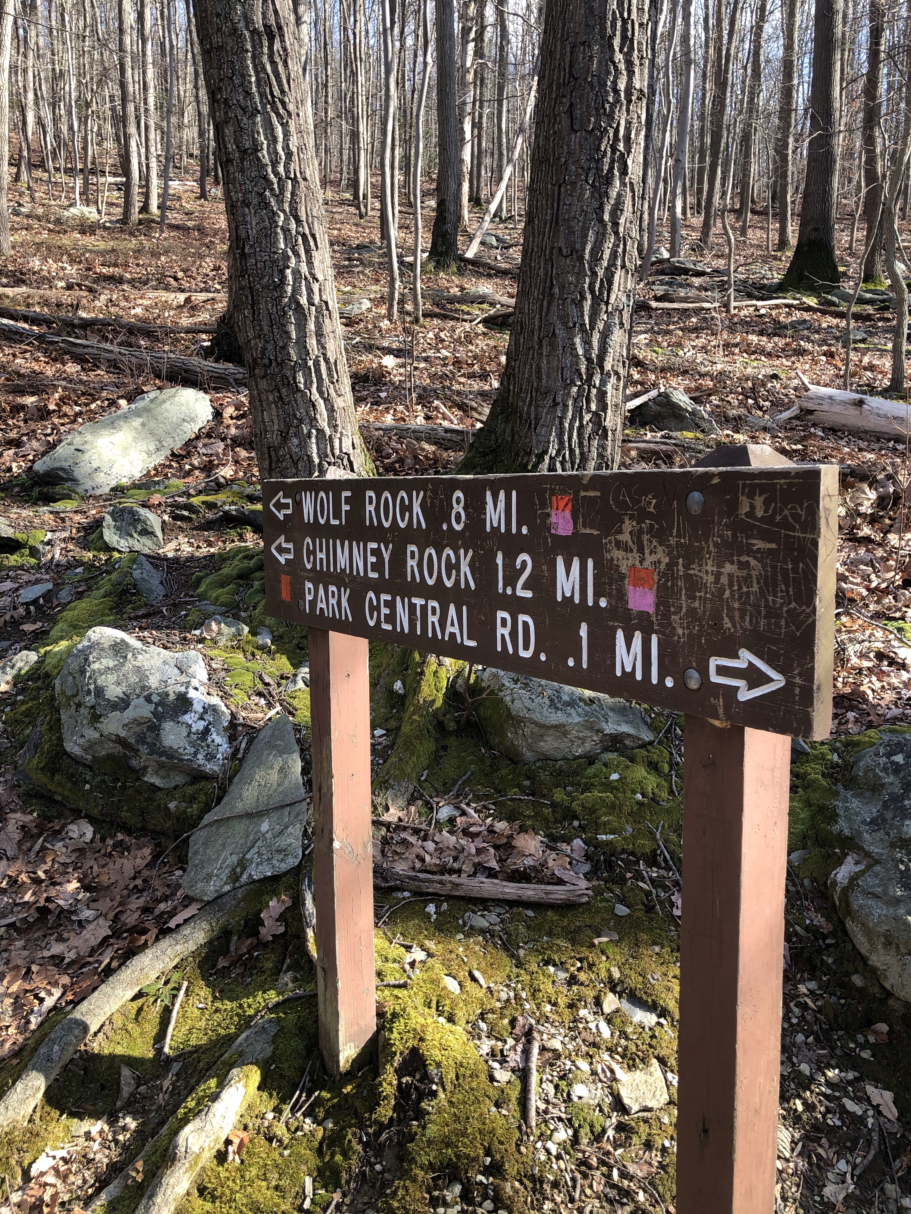
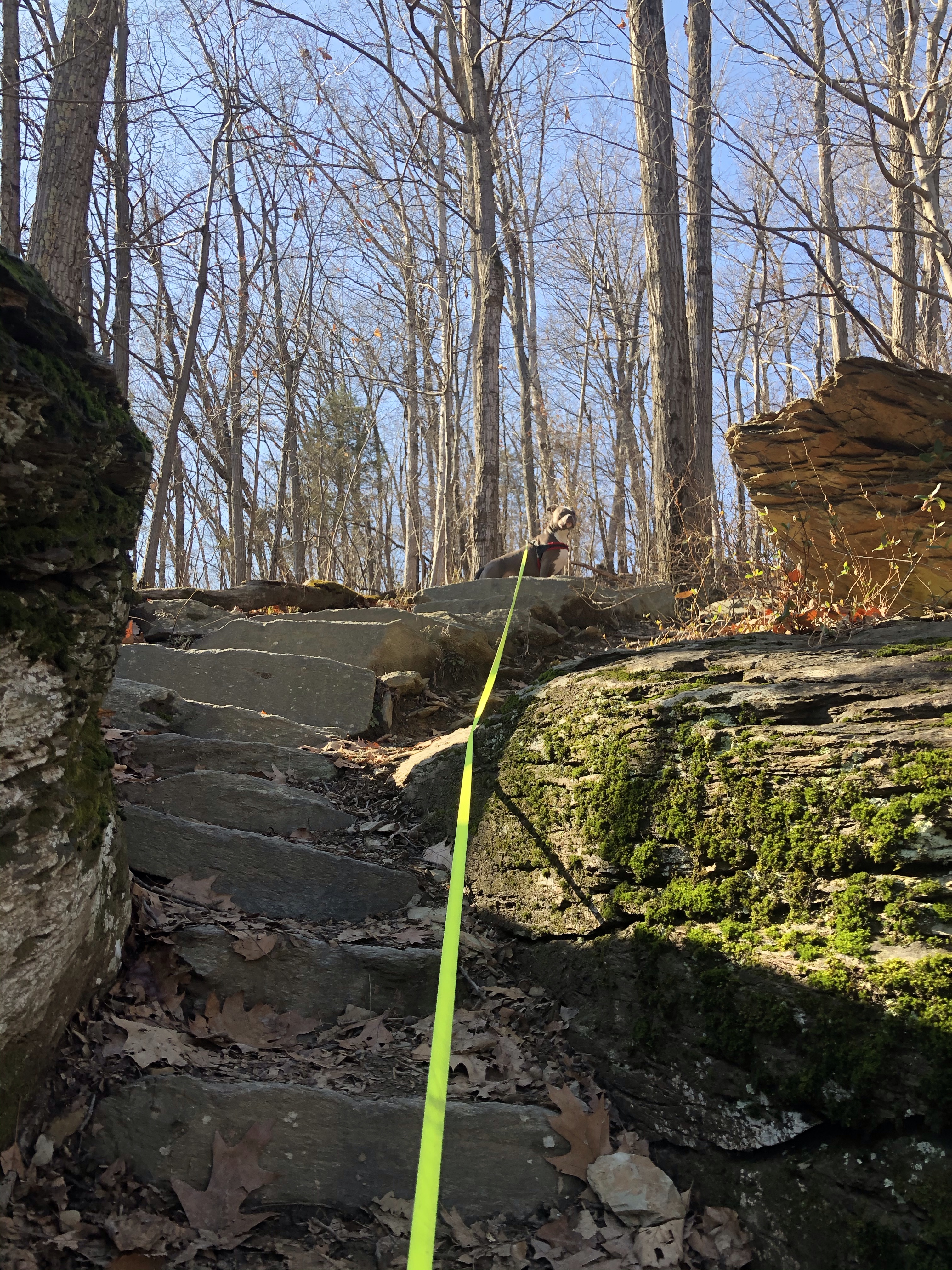
After some more winding then a left turn leads us to our next clue. Still not on the top is a sign for Bobs Hill and Cat Rock.
Since the latter seems to be a dead end we’ll head over that way, hoping for some epic views.
The family of three who passed us earlier are perching on top of the boulders. Before climbing up there with Mag in tow, I must ask if there is a panorama worth our efforts. They assure us with a yes.
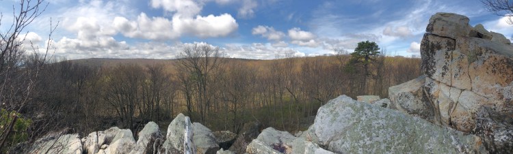
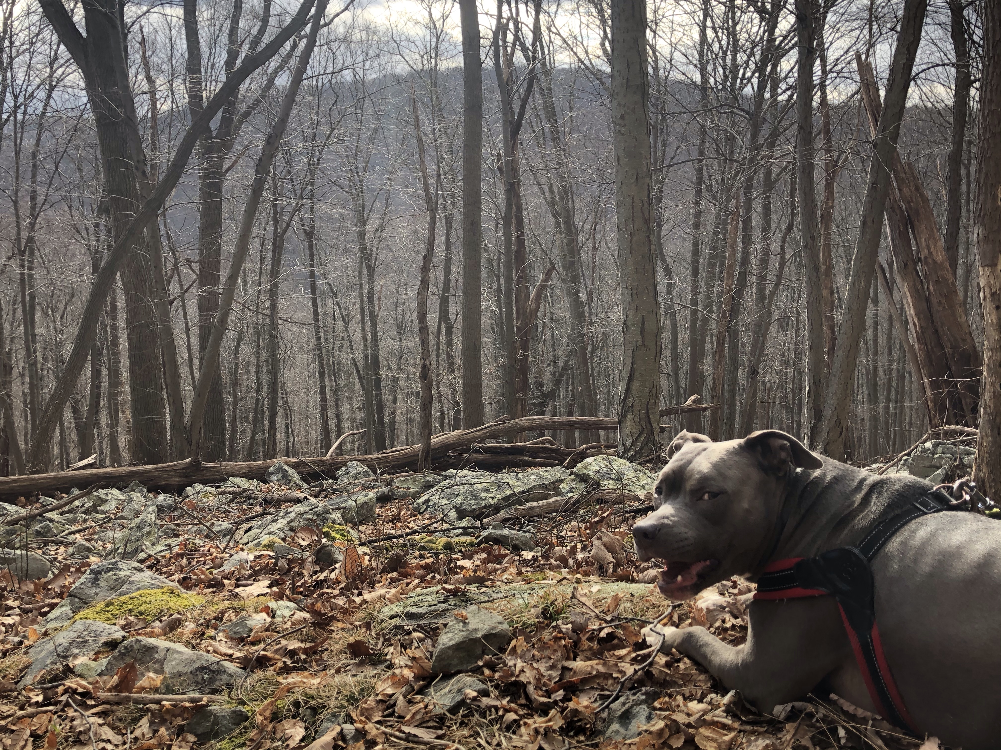
I would love to conquer the top but it’s not easy to balance with a dog on a leash. We settle for this not too shabby view. In some cases it would be nice to have a human hiking buddy as well. Carefully descending, making sure Mag doesn’t tumble down pulling me with him, we head back towards the post, marking Bobs Hill.
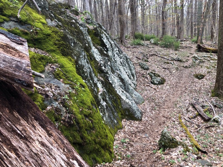
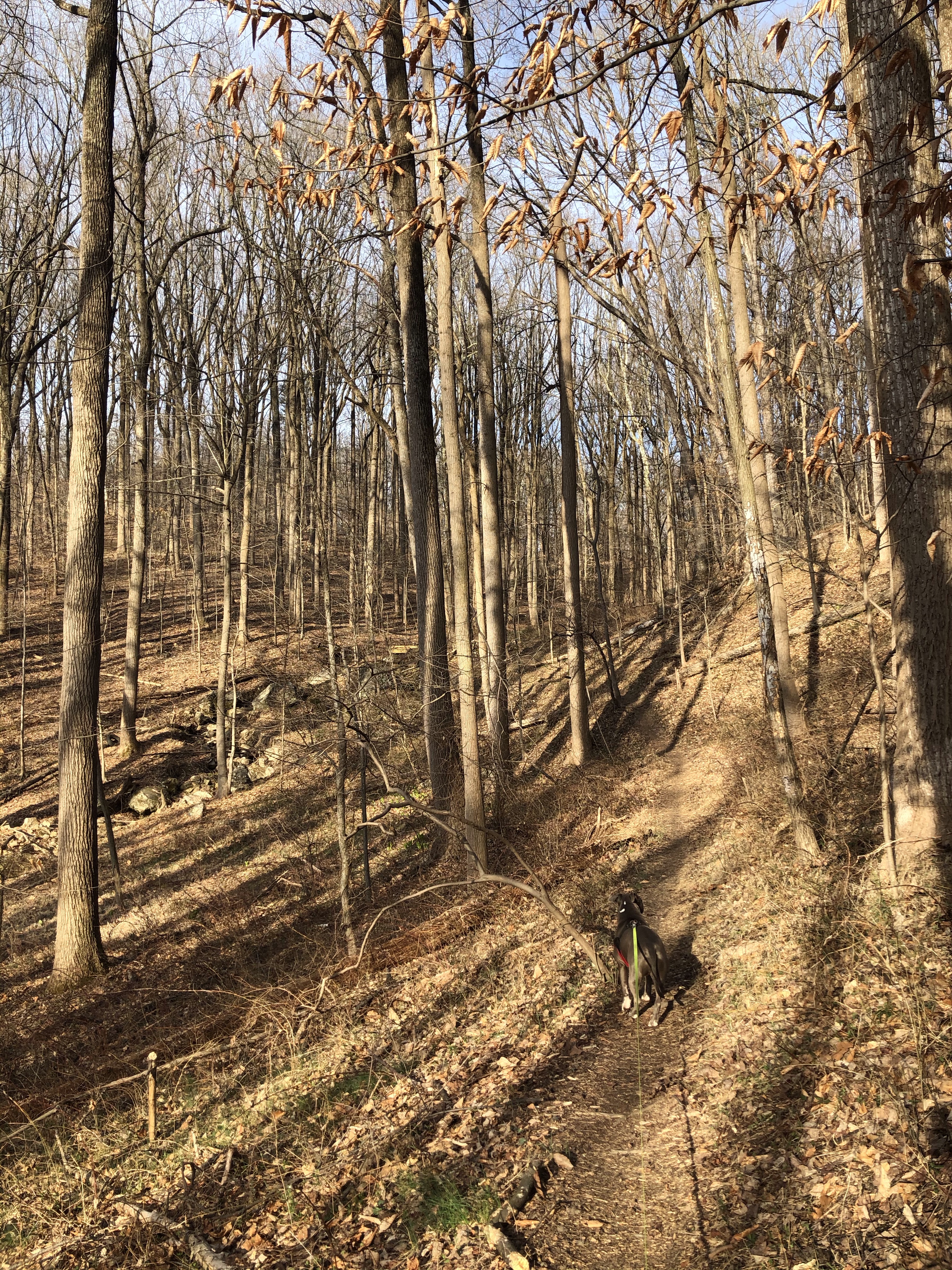
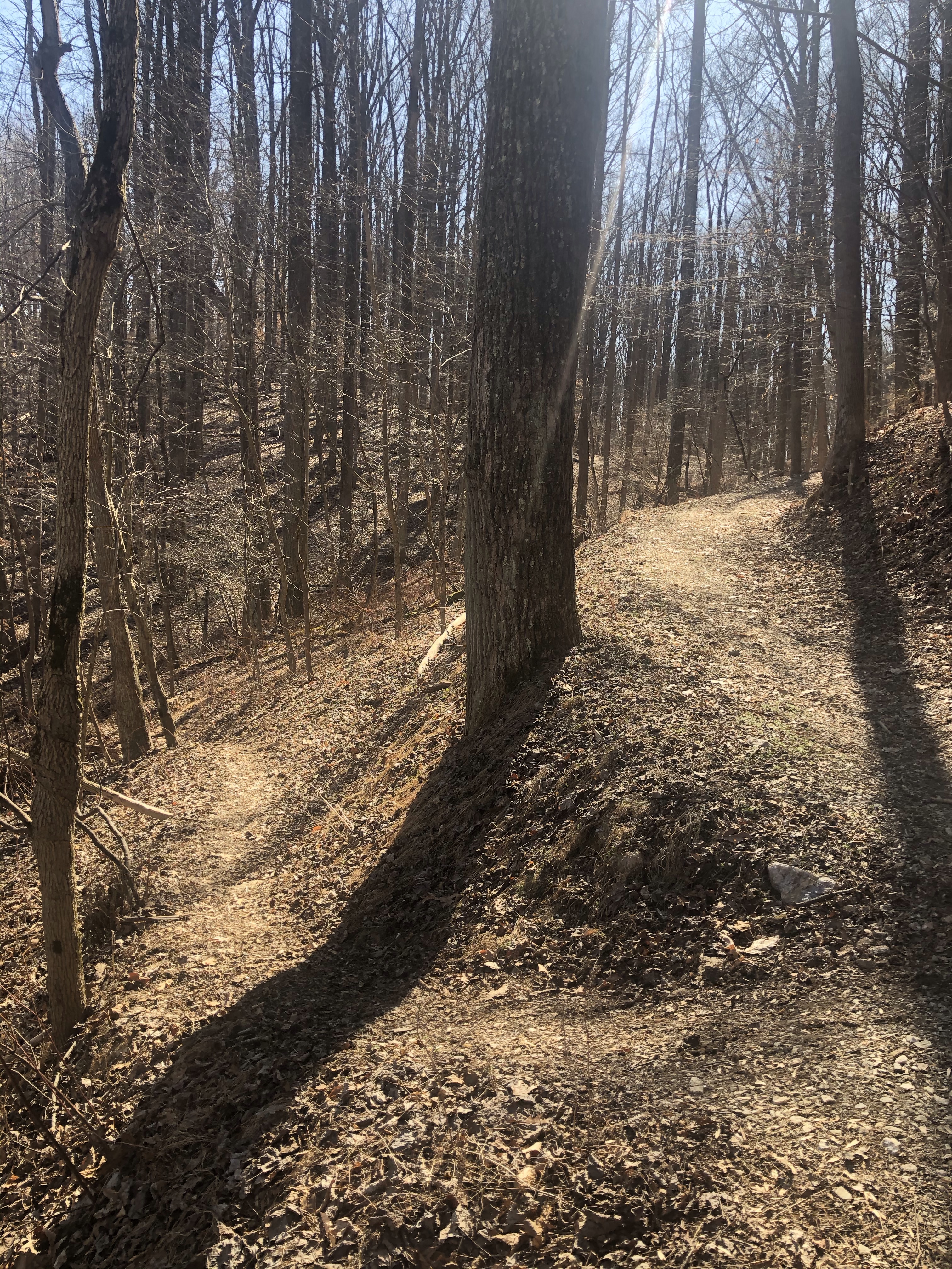
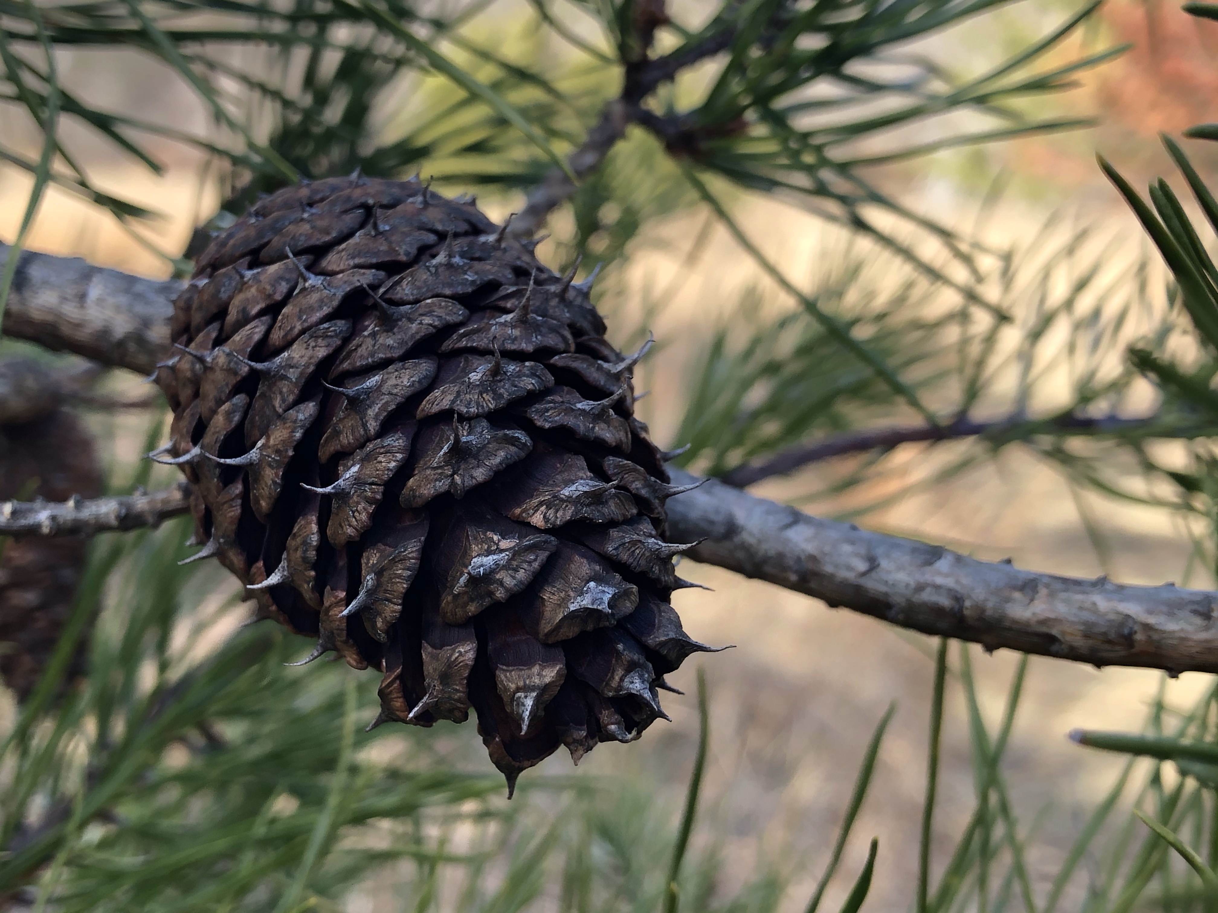
Lots of twigs and pine-needles on this slightly descending three feet wide rocky path. Throughout the East Coast trails, Mountain Laurels are the most common shrubbery lining both sides of the paths. First I thought they were sort of a wild version of Rhododendrons but looking them up online revealed the truth. They will be flowering in a few weeks time.
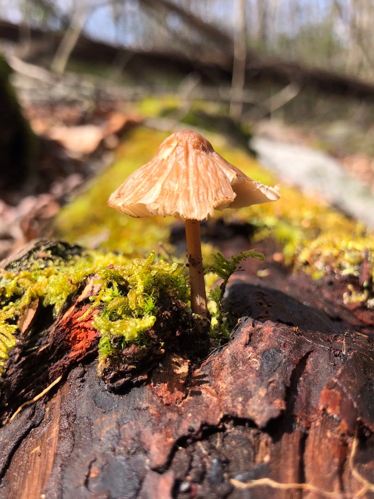
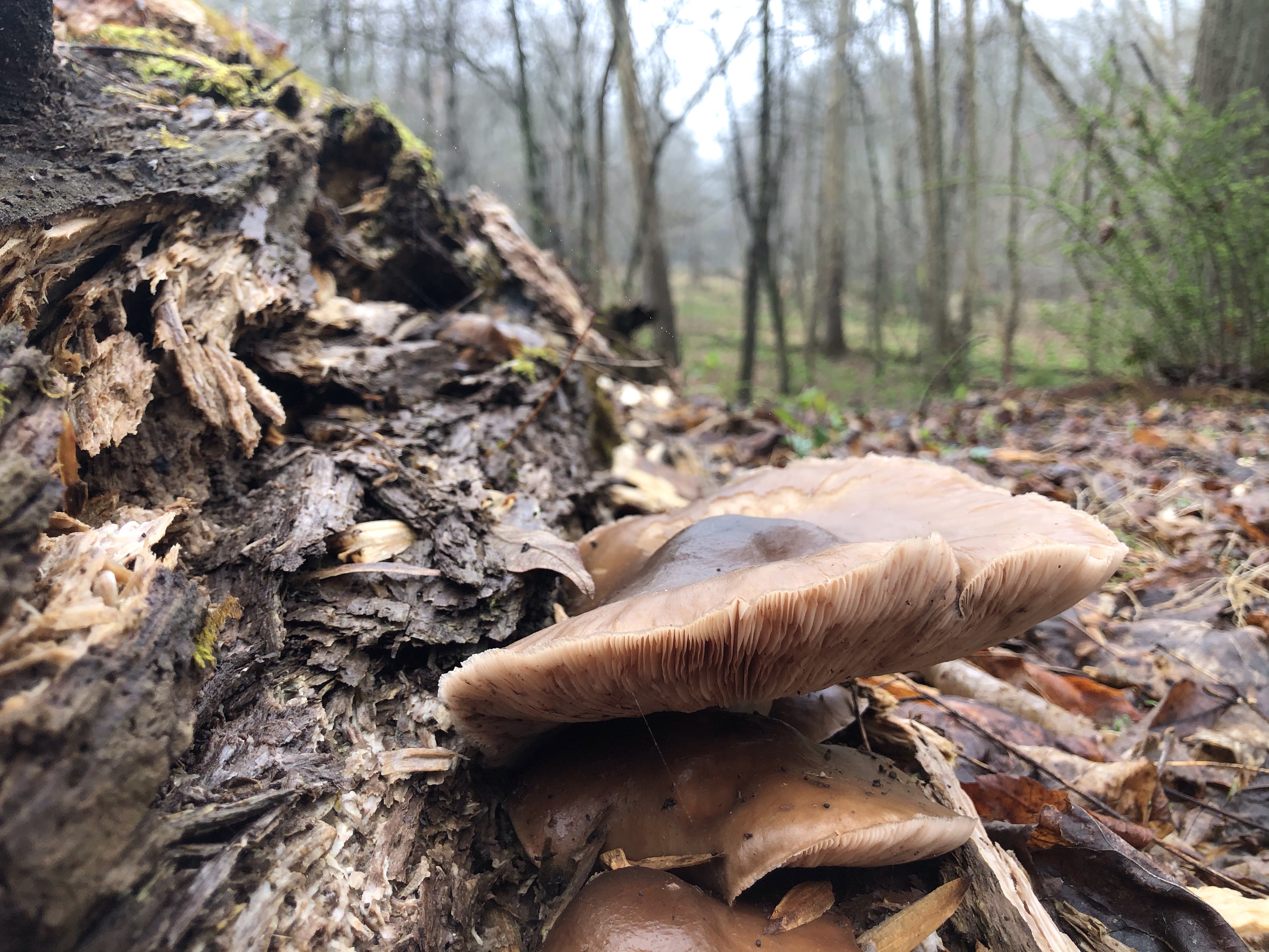
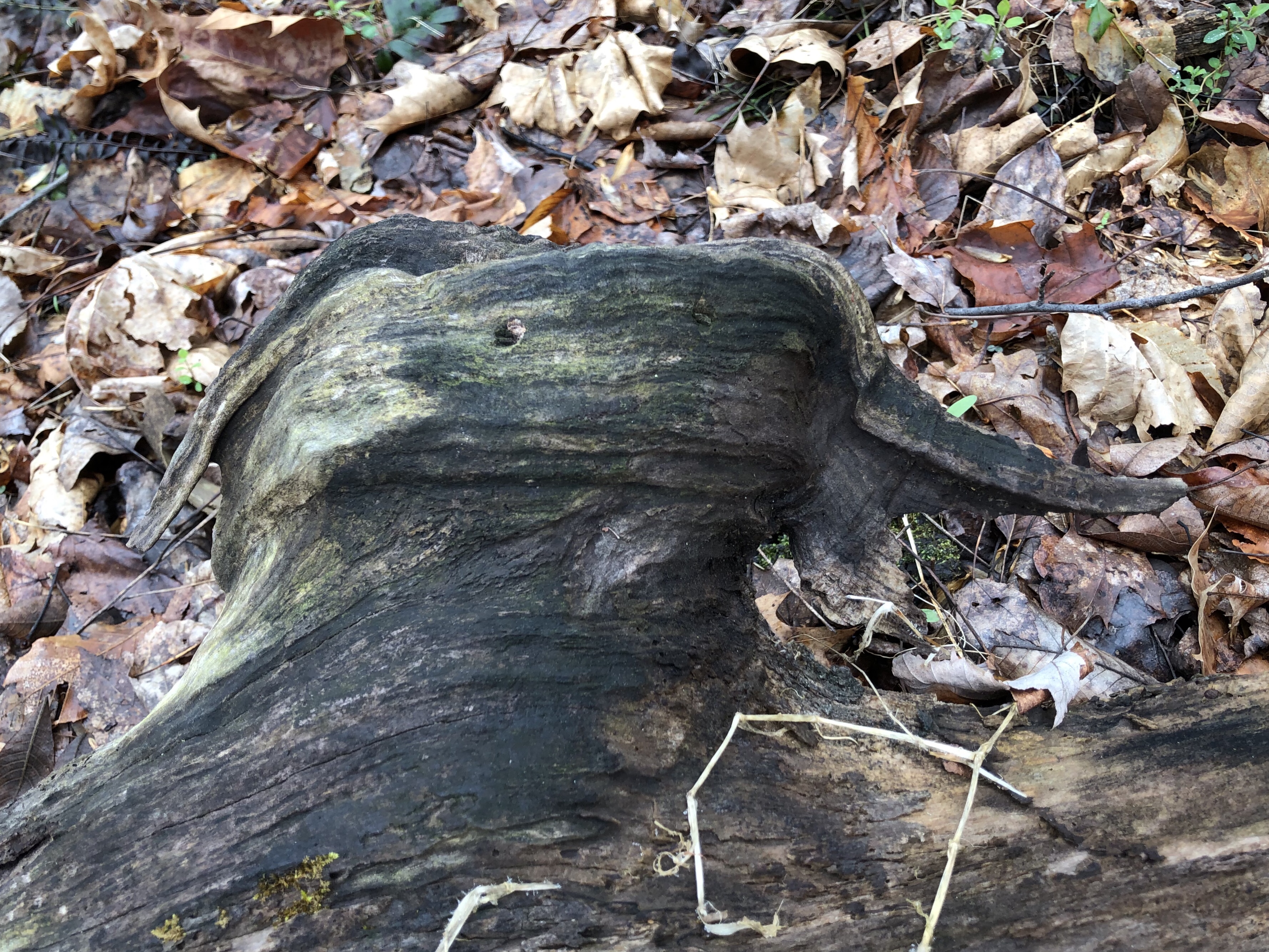
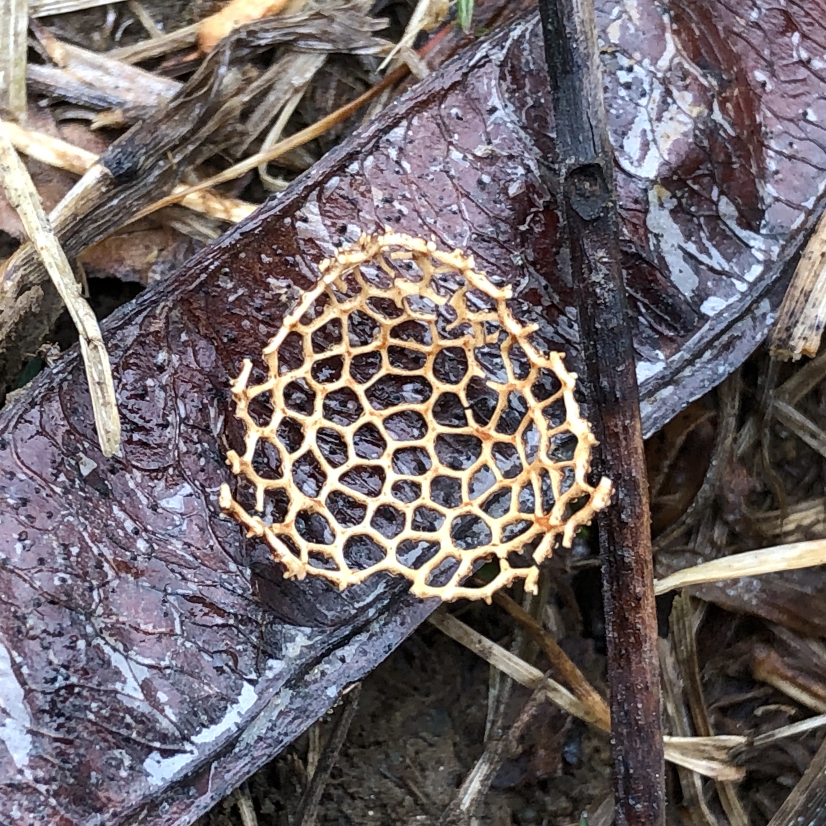
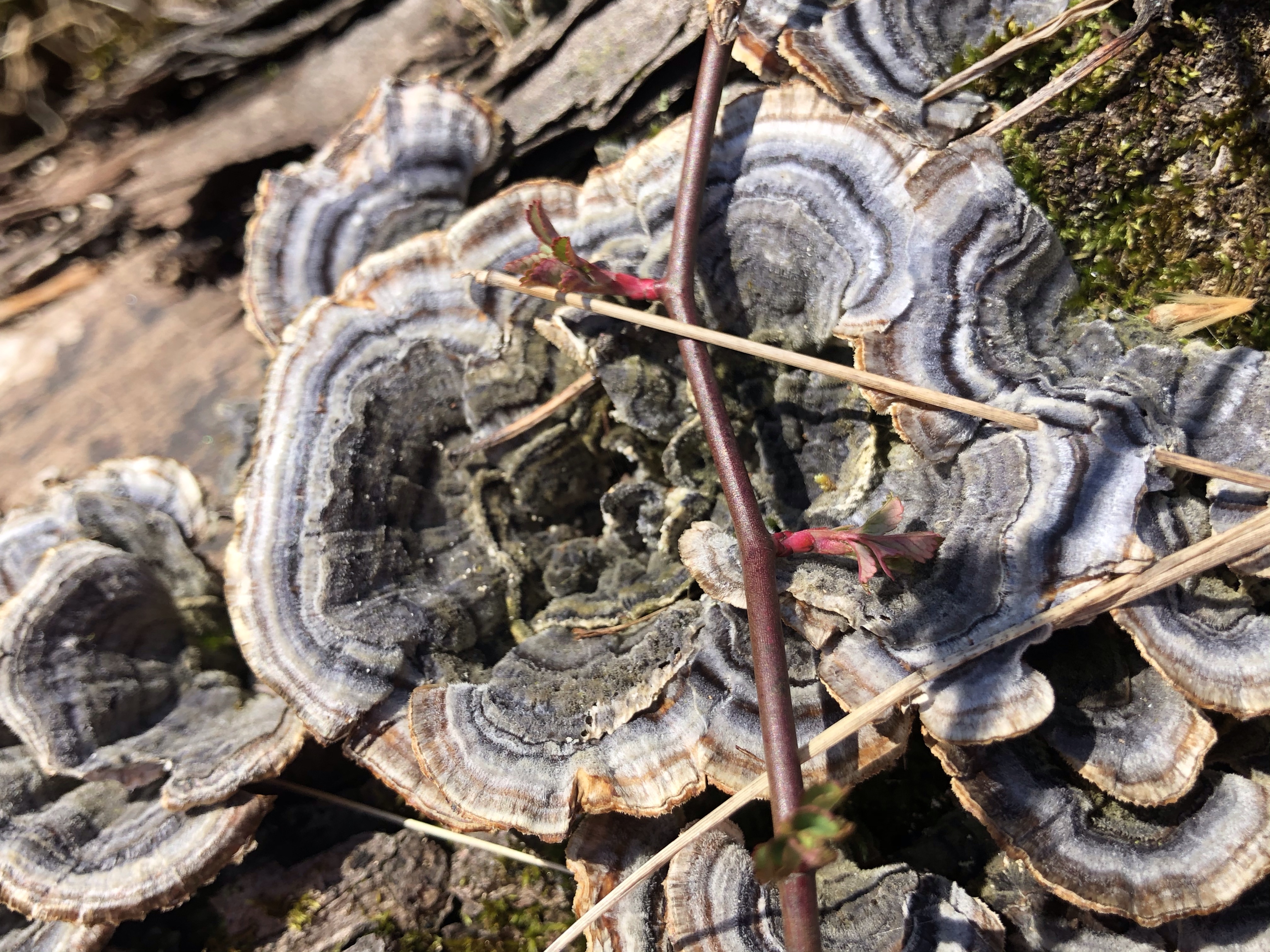
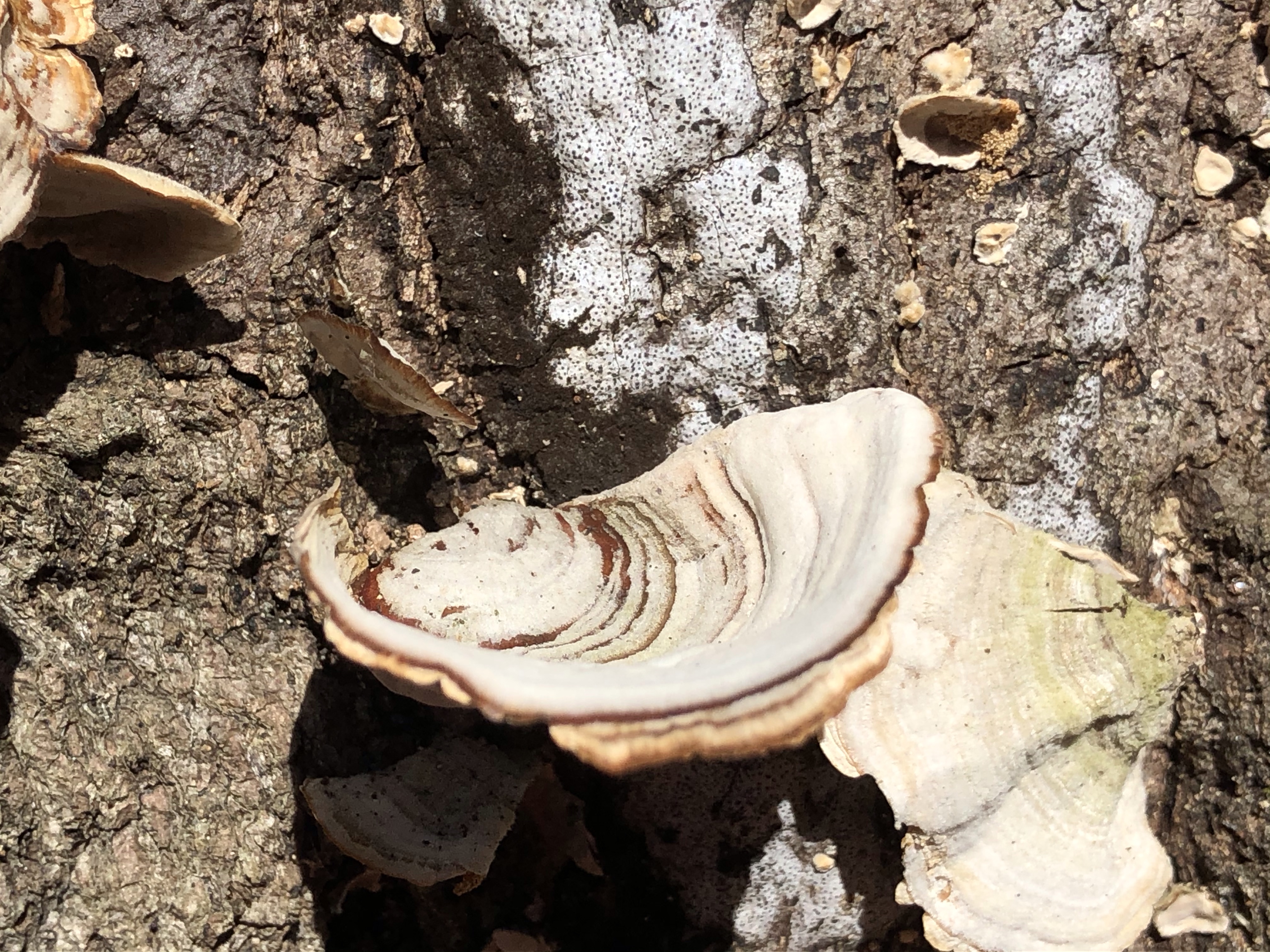
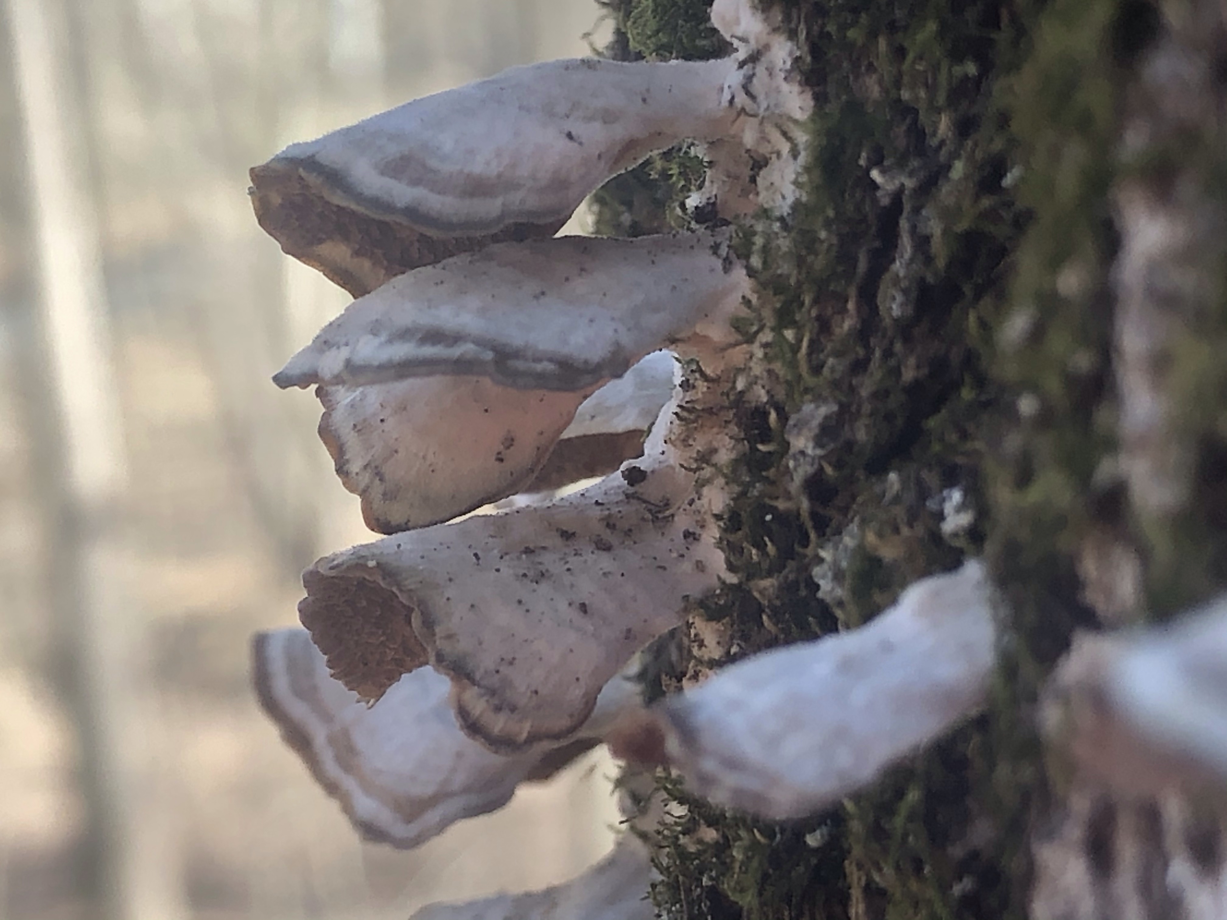
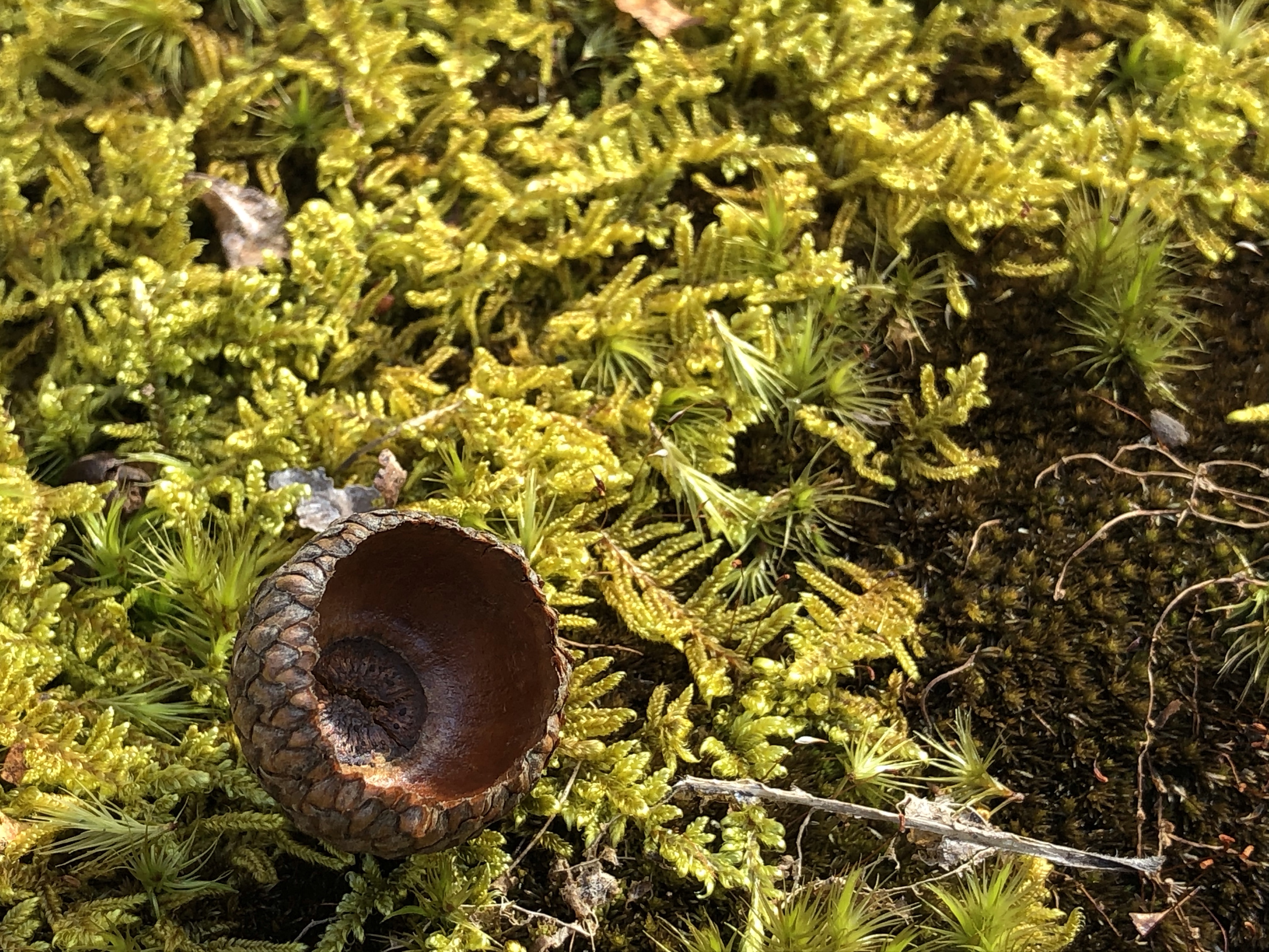
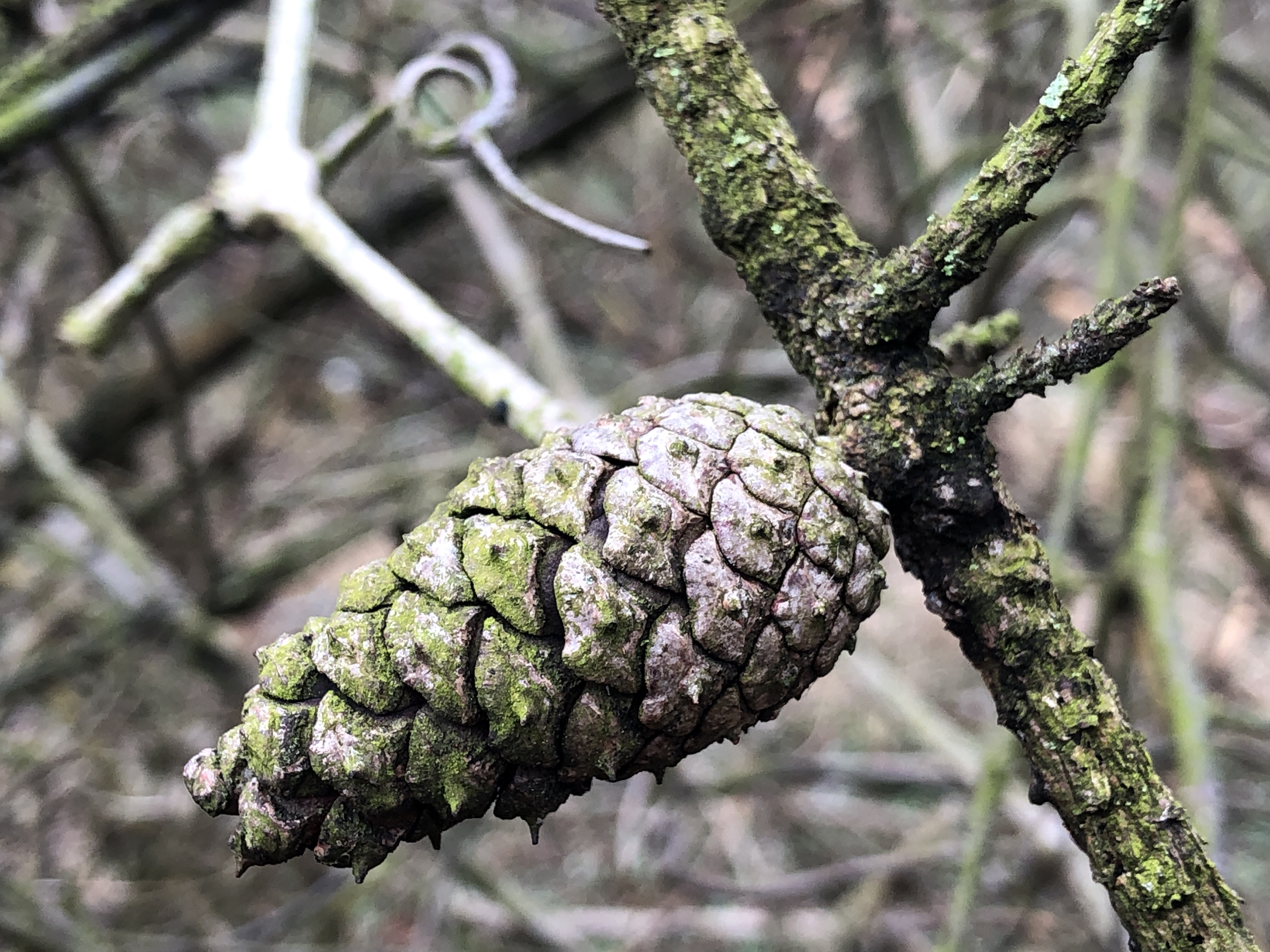
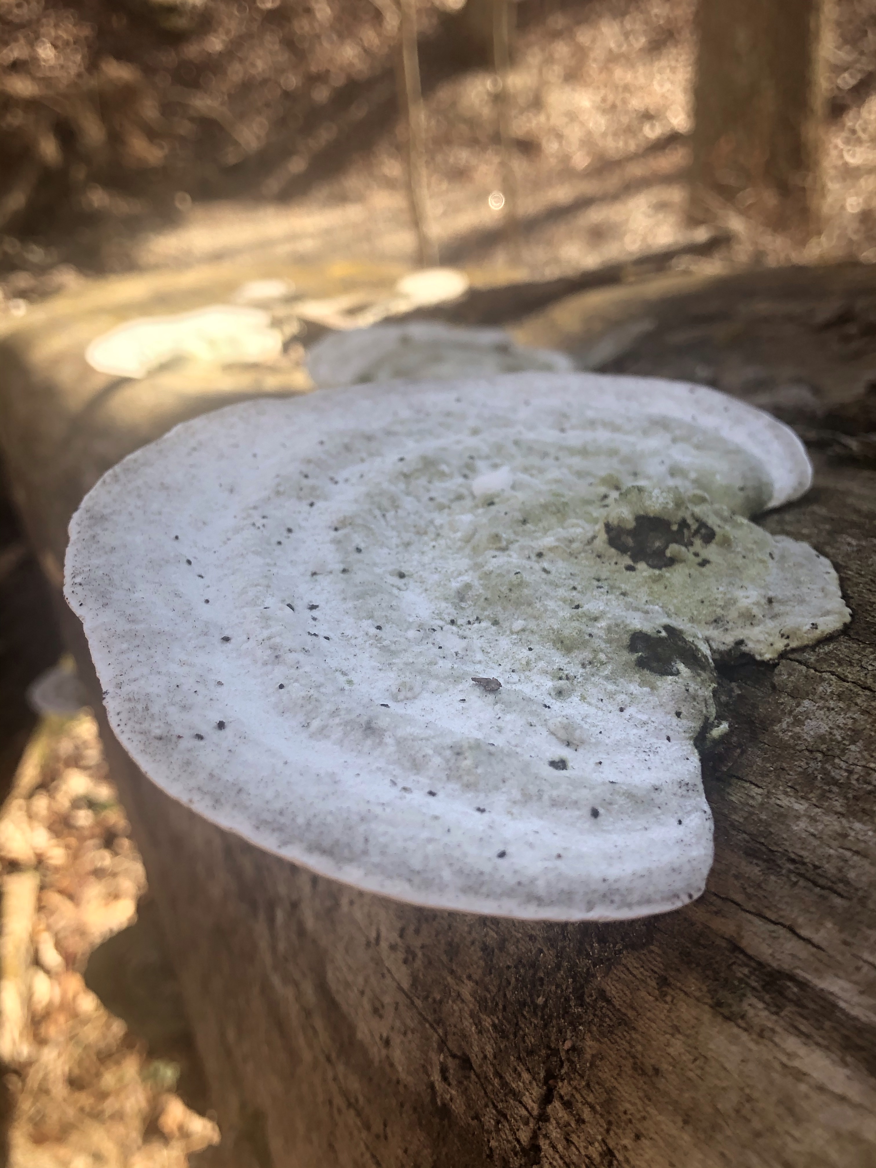
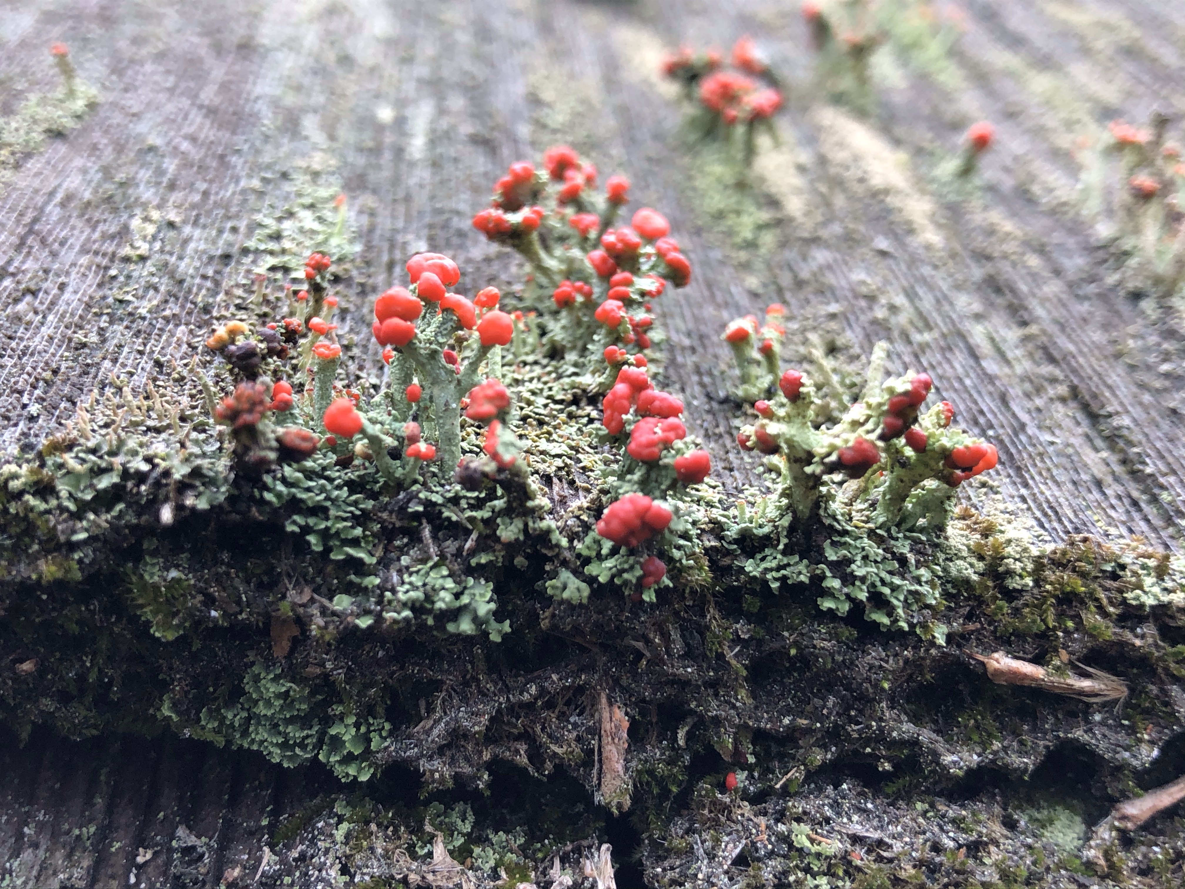
I’ve spotted this cute little mushroom as well….growing out of a decaying tree, surrounded by velvety moss.
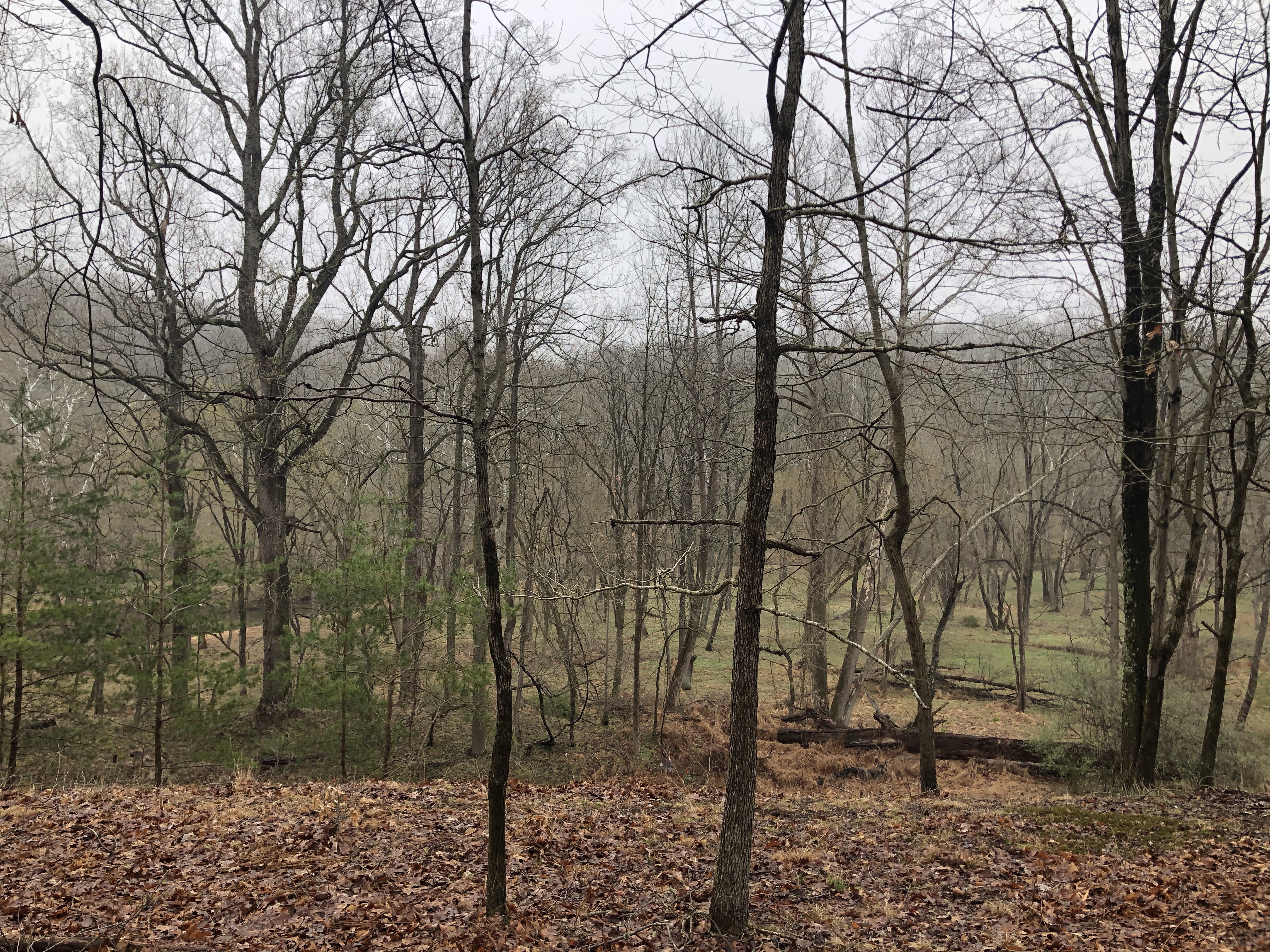
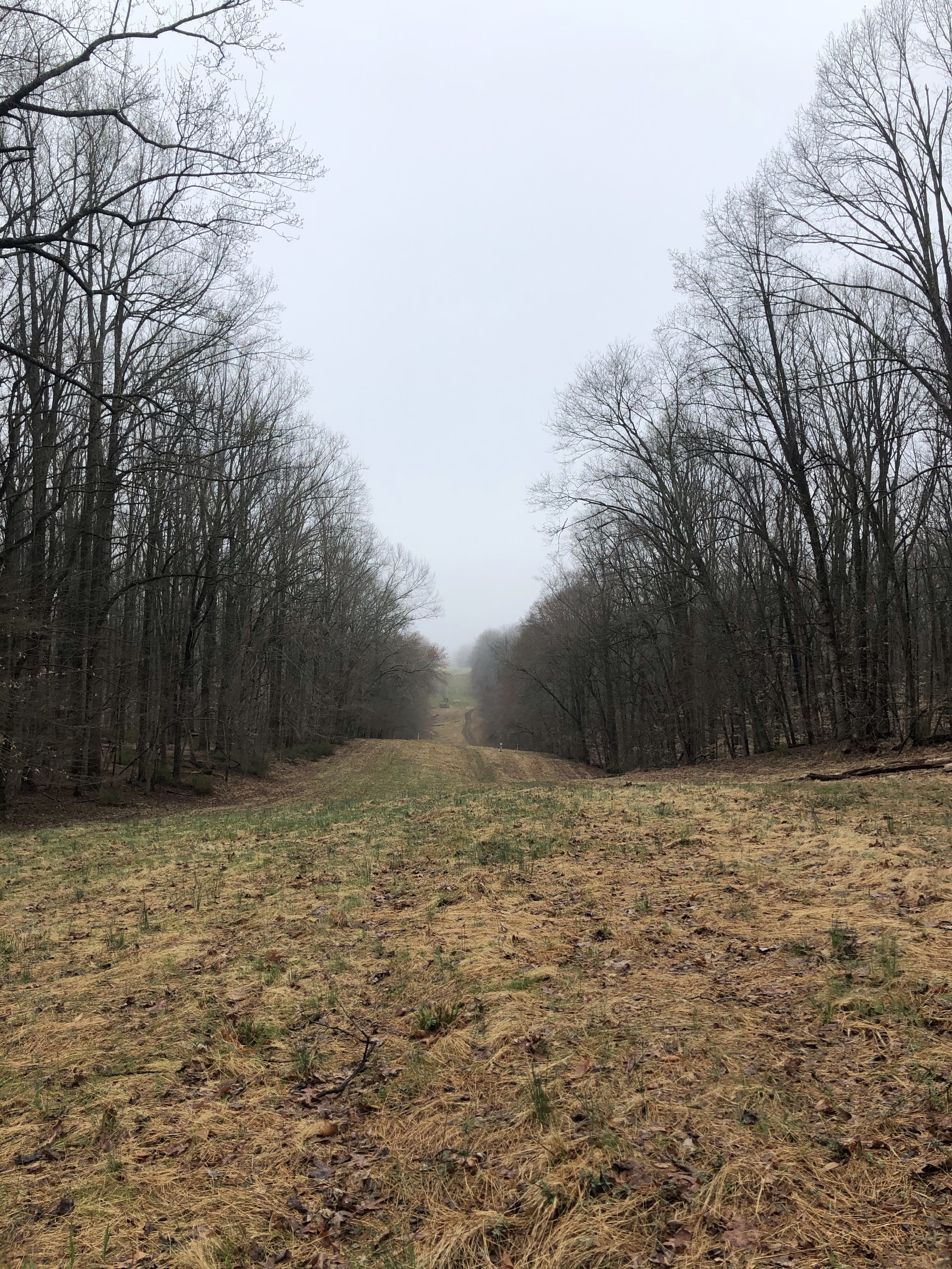
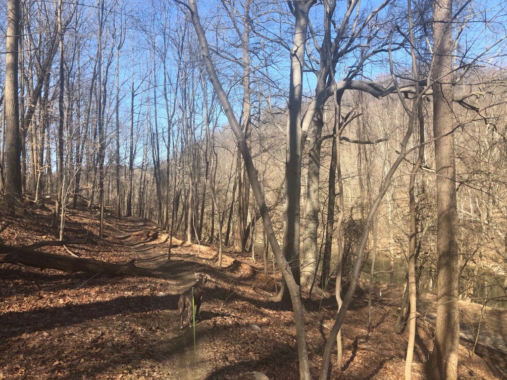
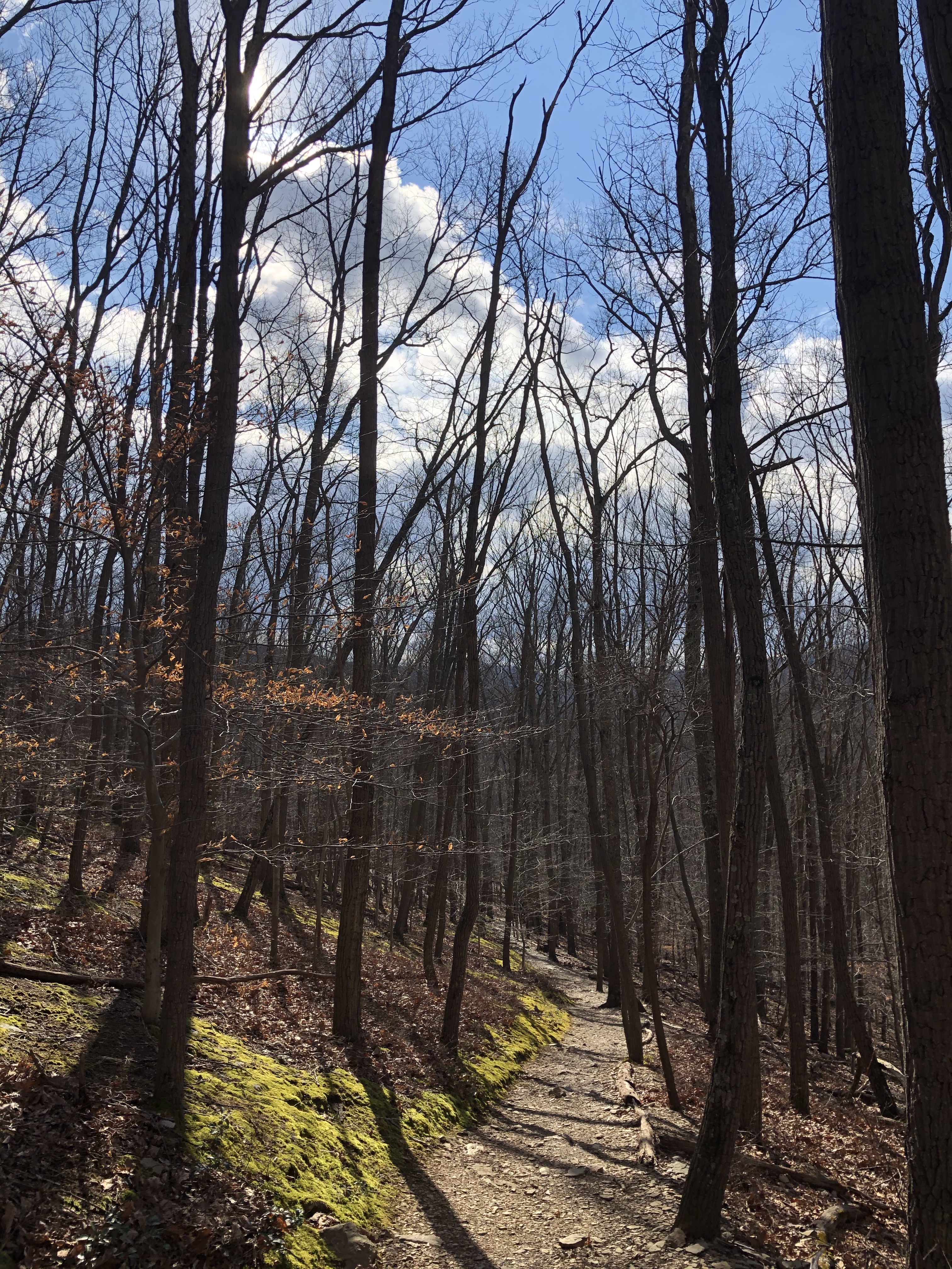
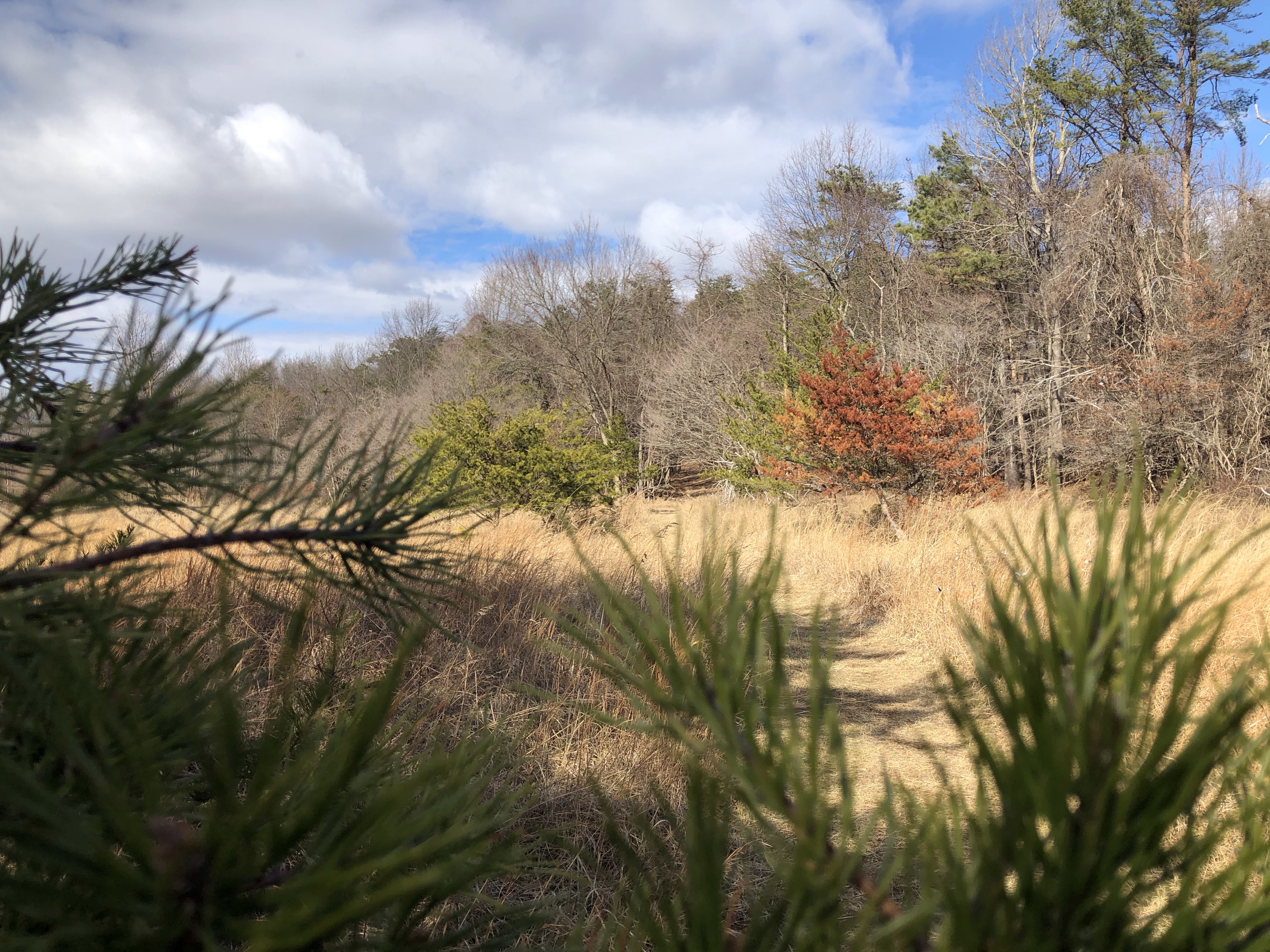
Zig-zagging on a slight uphill takes us to an almost picture worthy spot but nature is awakening and the ever growing greenery blocks the photo opportunity to the NE. After a sharp left we come across Red Trail on our right which catches up to the power line “trail”. We keep on Cat Rock Trail though for another 1.2 miles. The path is a lovely green opposite the browns of the still dormant looking trees.
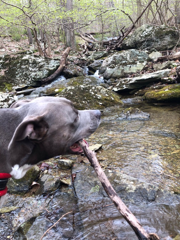
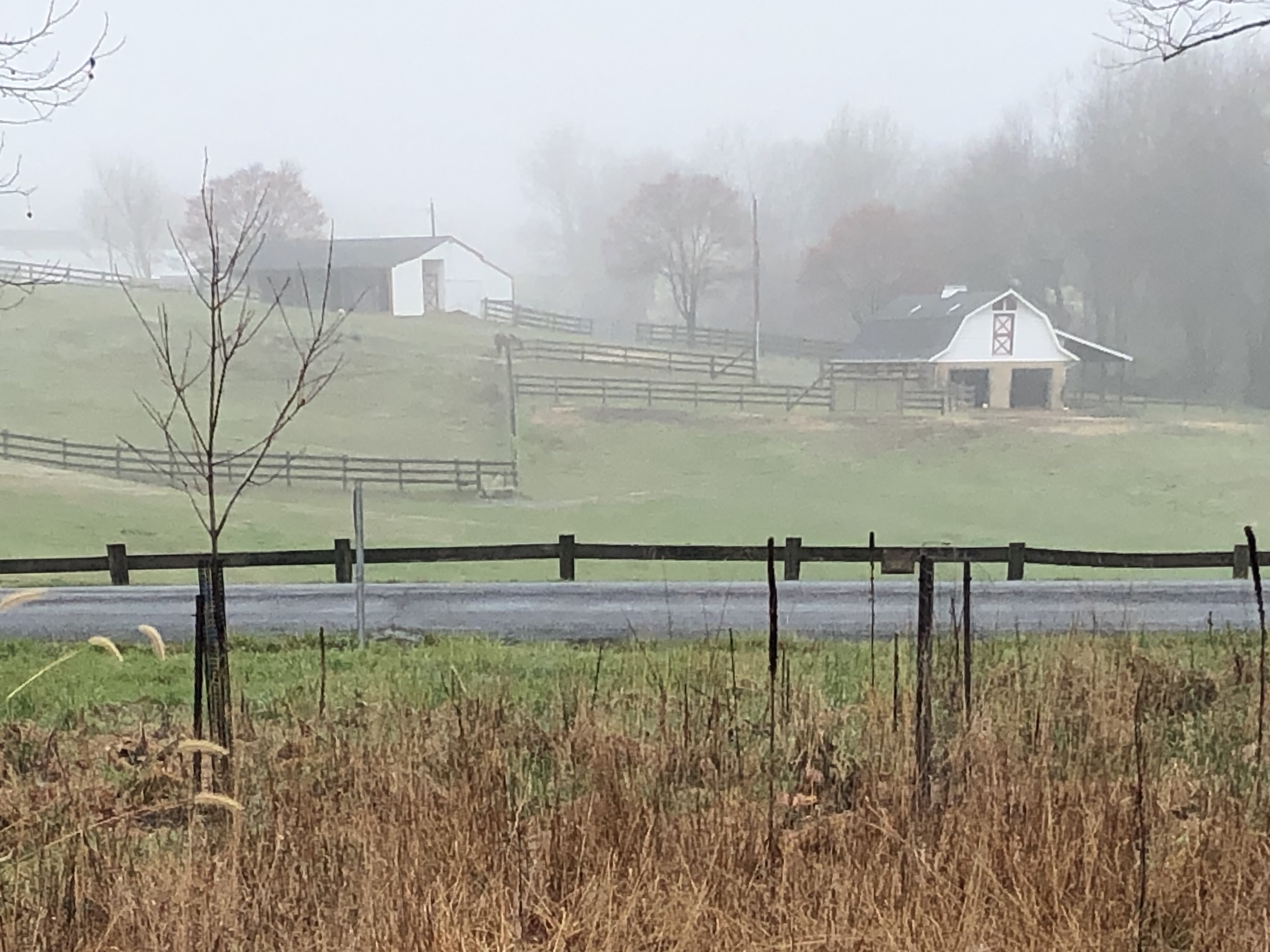
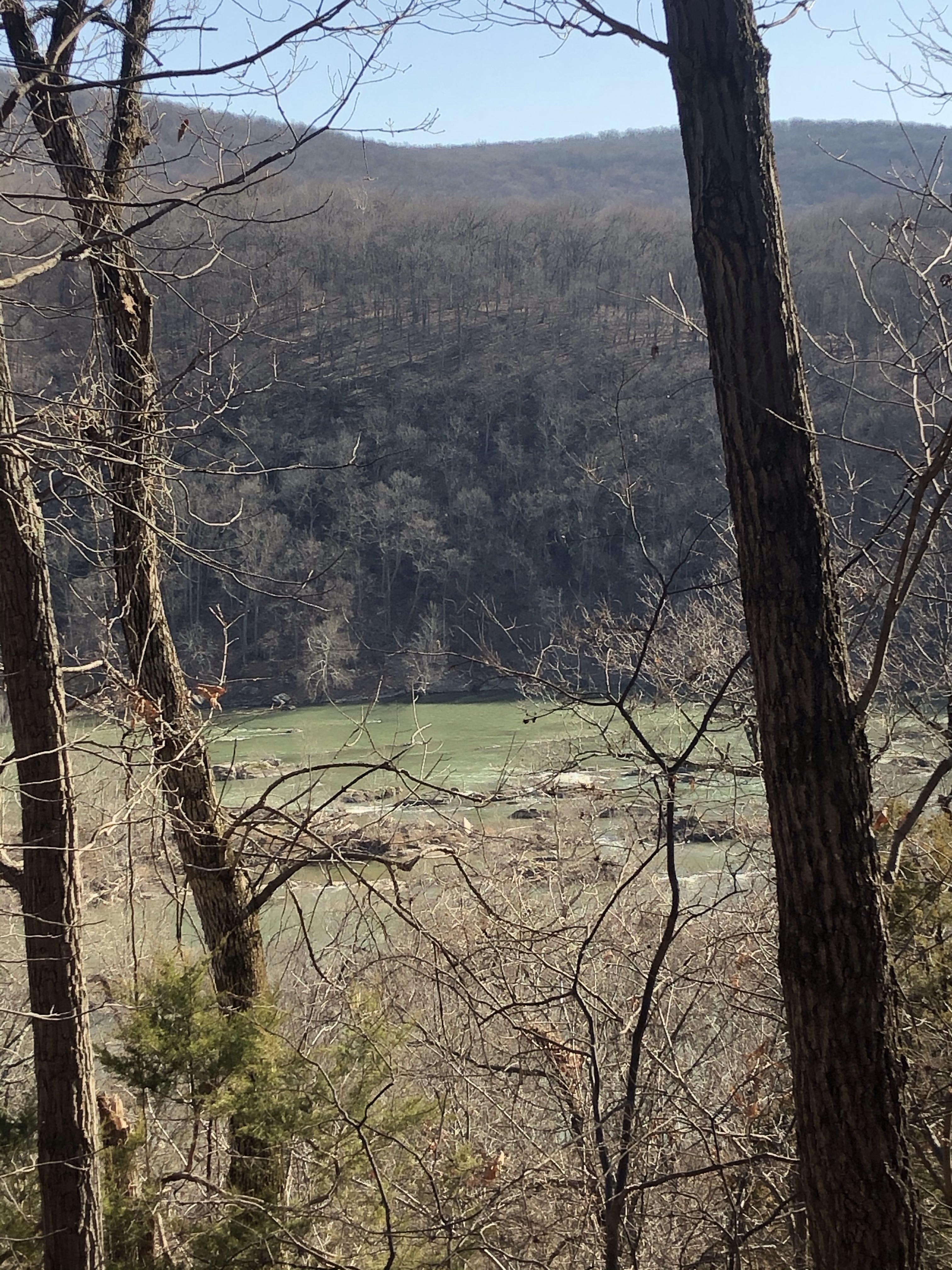
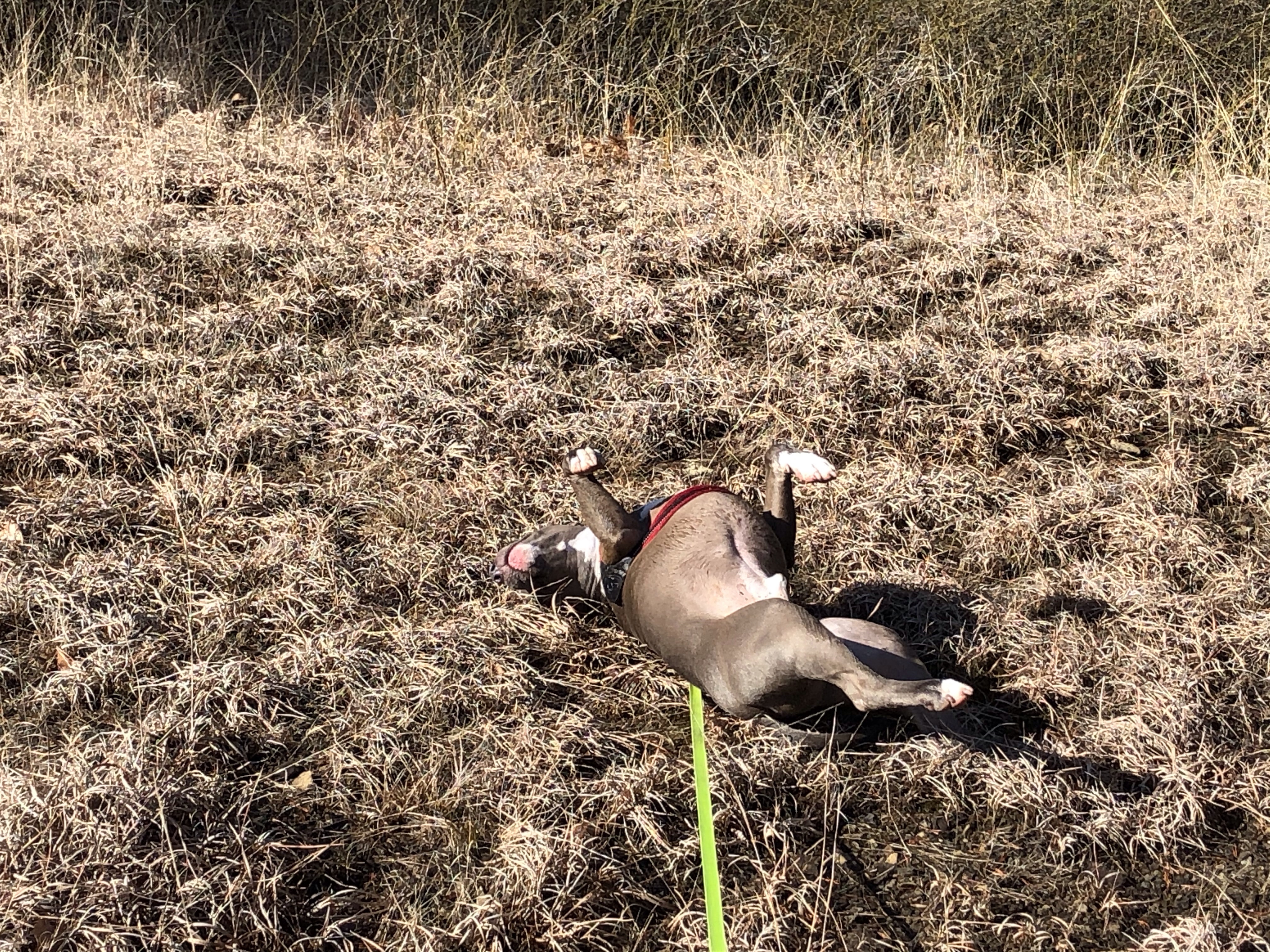
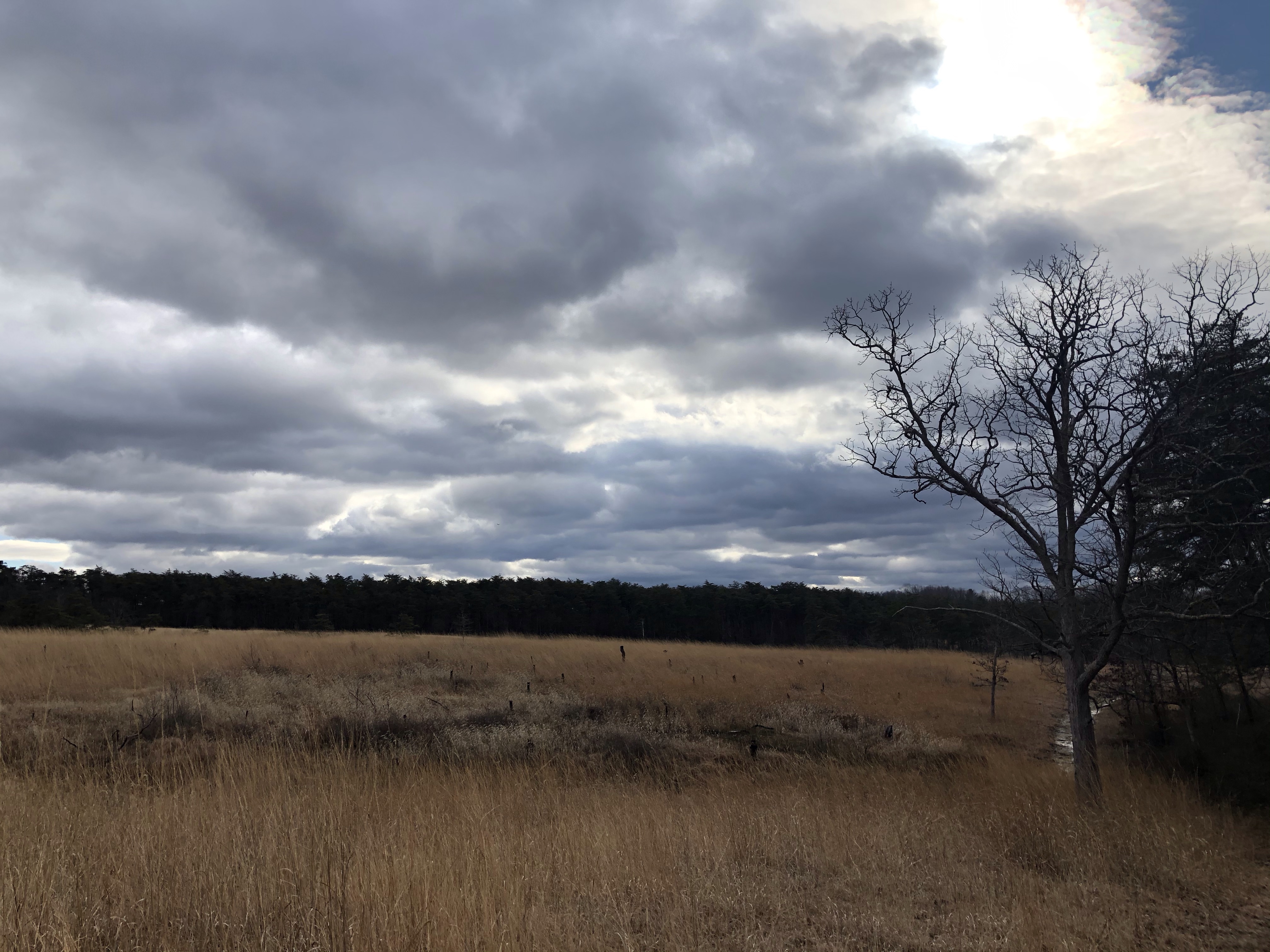
Half way through (1.2) we see the valley stretching below with a view of Cat Rock to the far left. It’s heavily wooded, taking a photo is pointless. Mag decides that it’s the perfect spot to roll around and chew on a yummy stick.
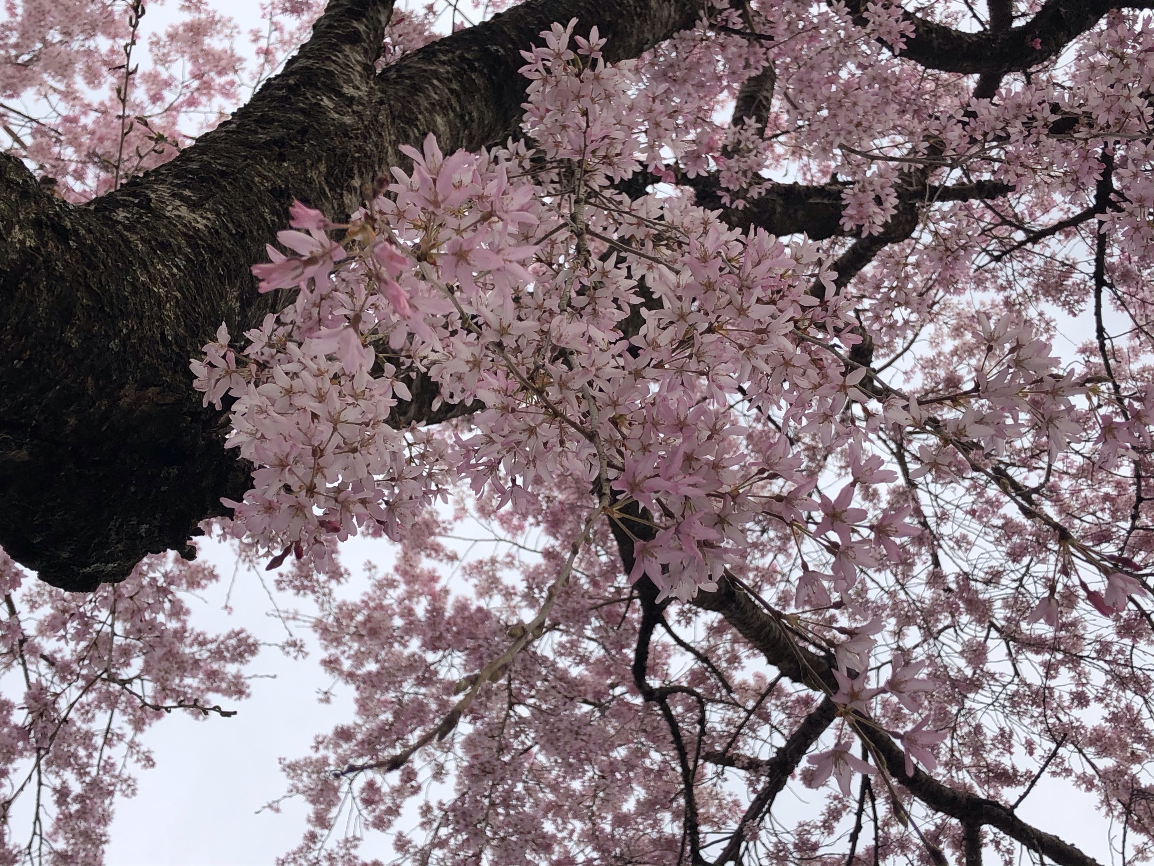
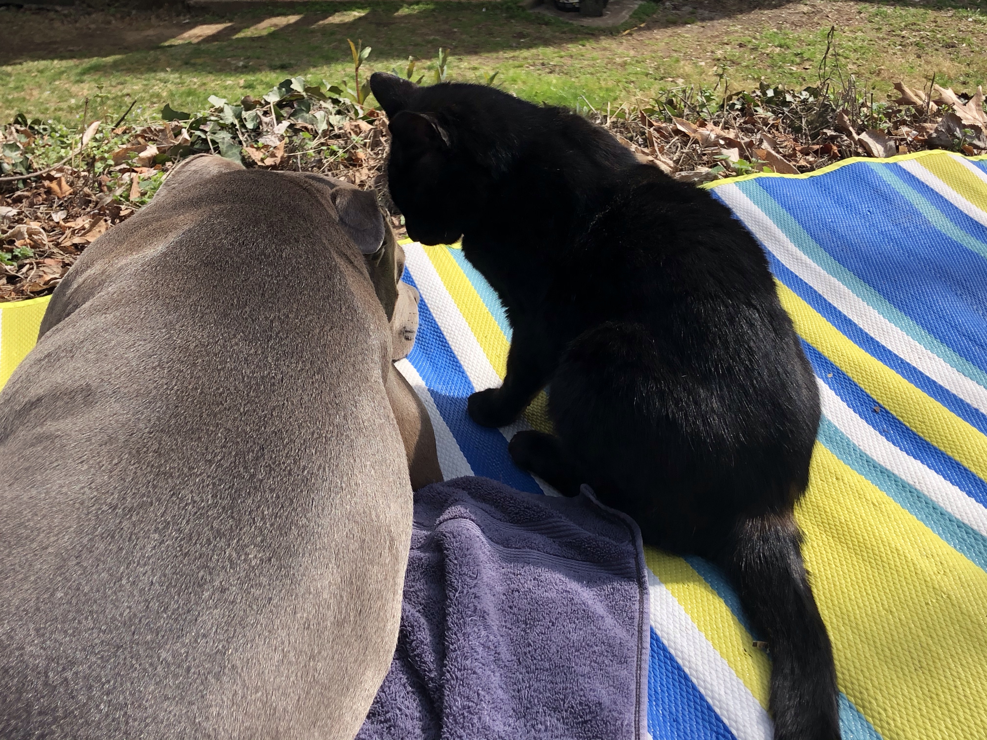
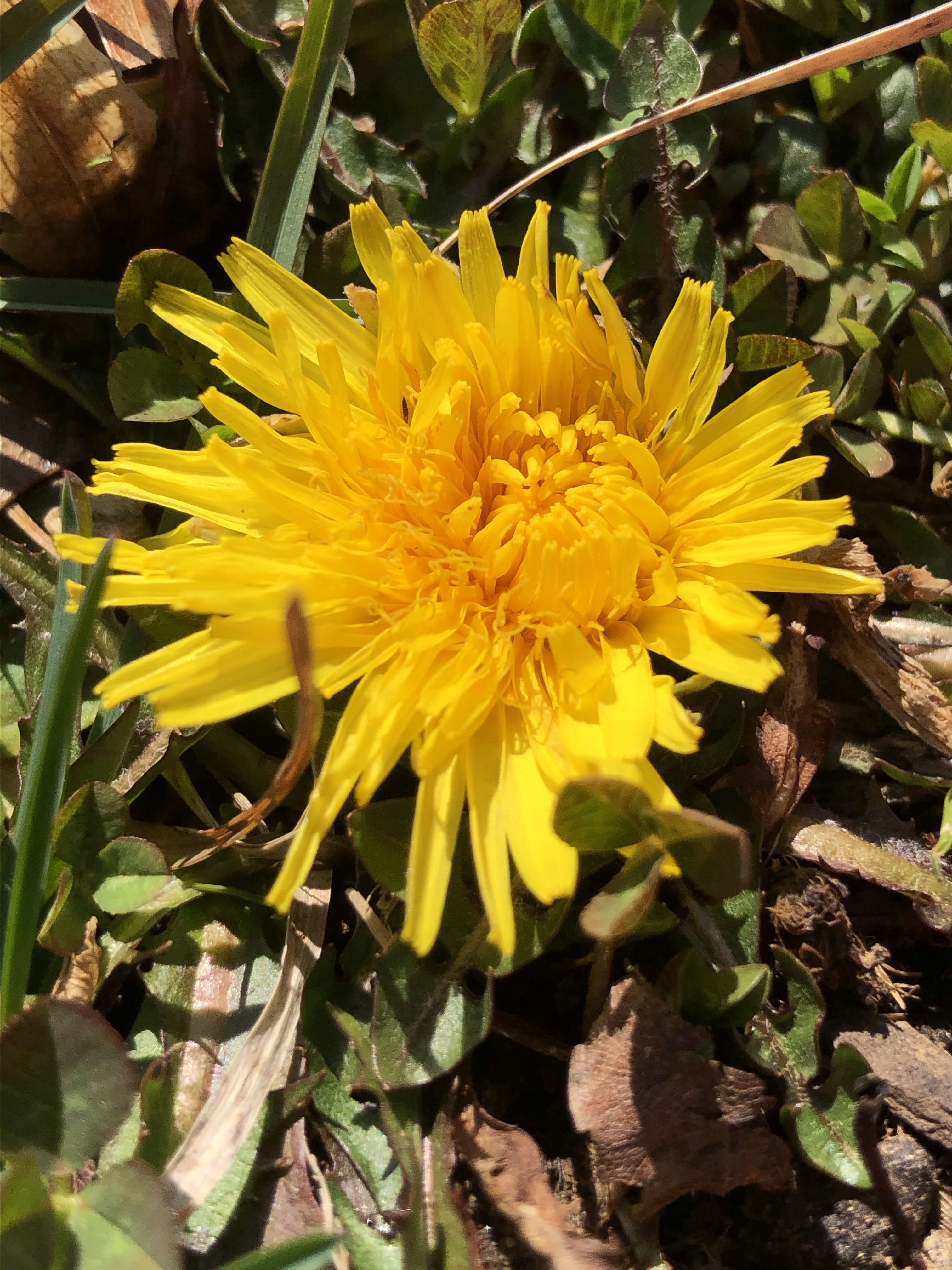
Continue on, we meet Honey a beautiful honey colored Pit-Vizsla mix and her friendly owner. Off course the two dogs hit it off right away but we have to keep on marching the opposite direction. The trail from here is grassy, colored by dandelions, lined with scattered flowering wild cherry- and dogwood trees. It is so quiet out here, I only hear the light breeze….well….Mag is chewing on a branch….but otherwise quiet.
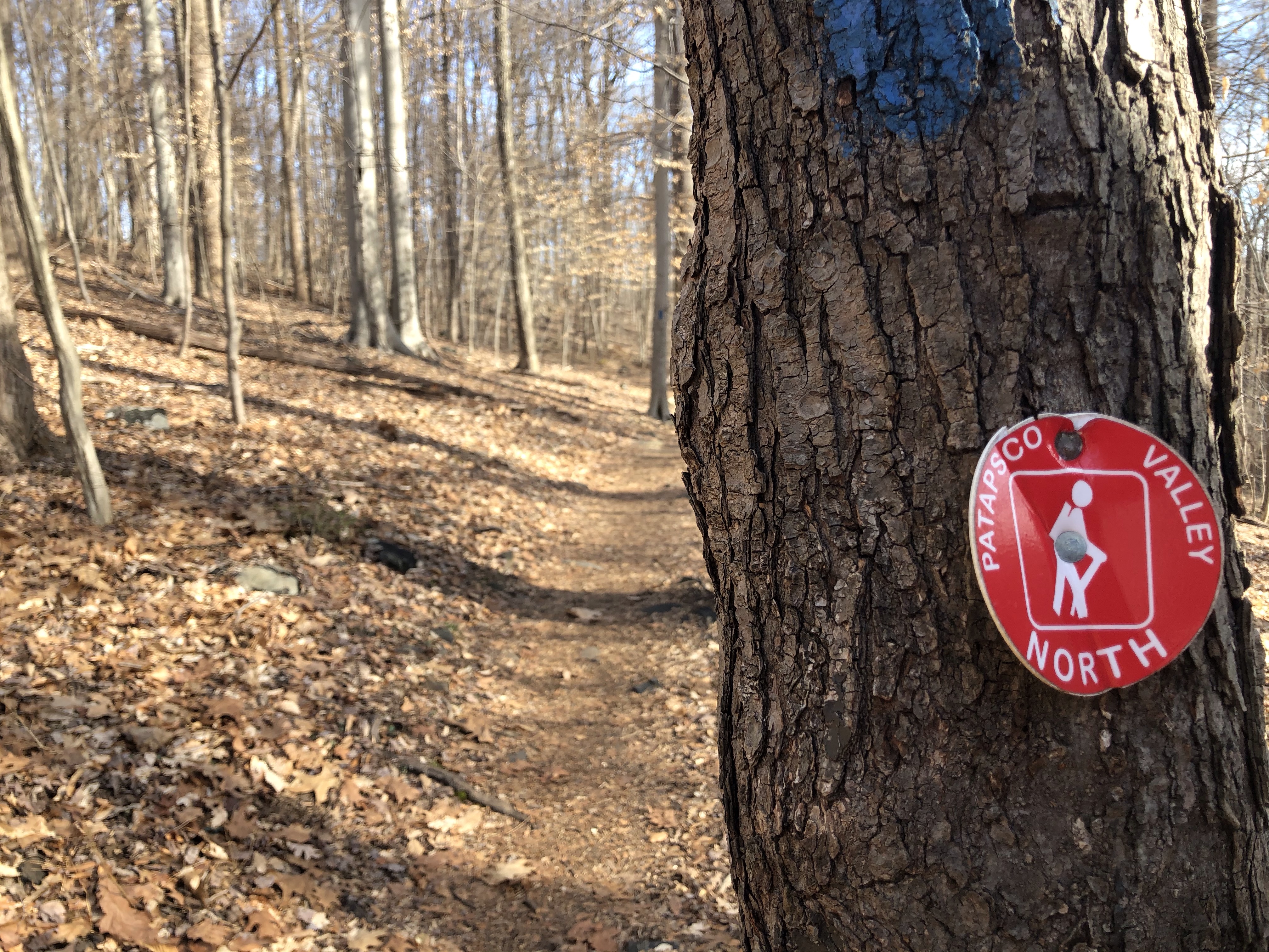
Soon we reach the T, the yellow- and blue trails meet here.
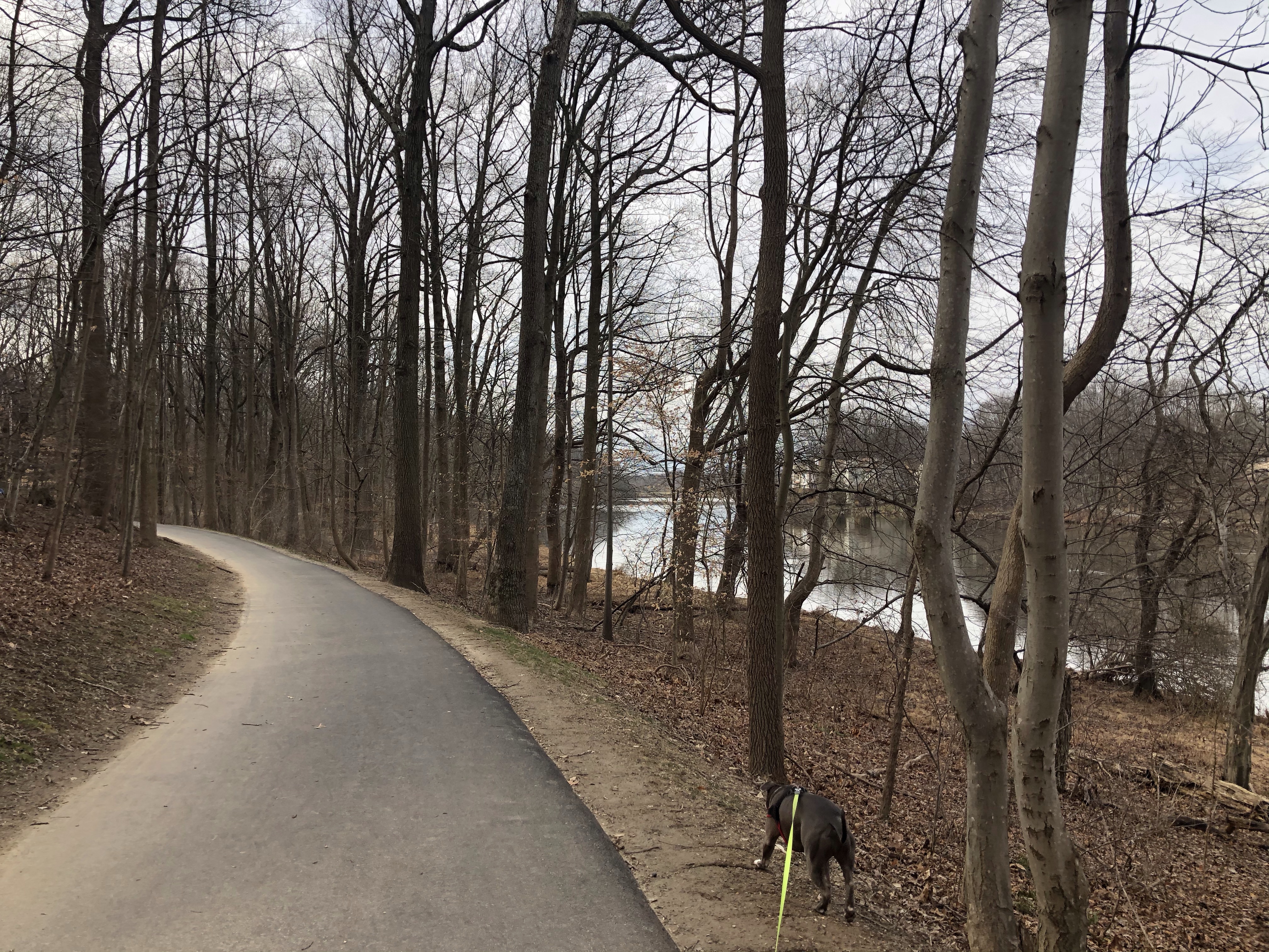
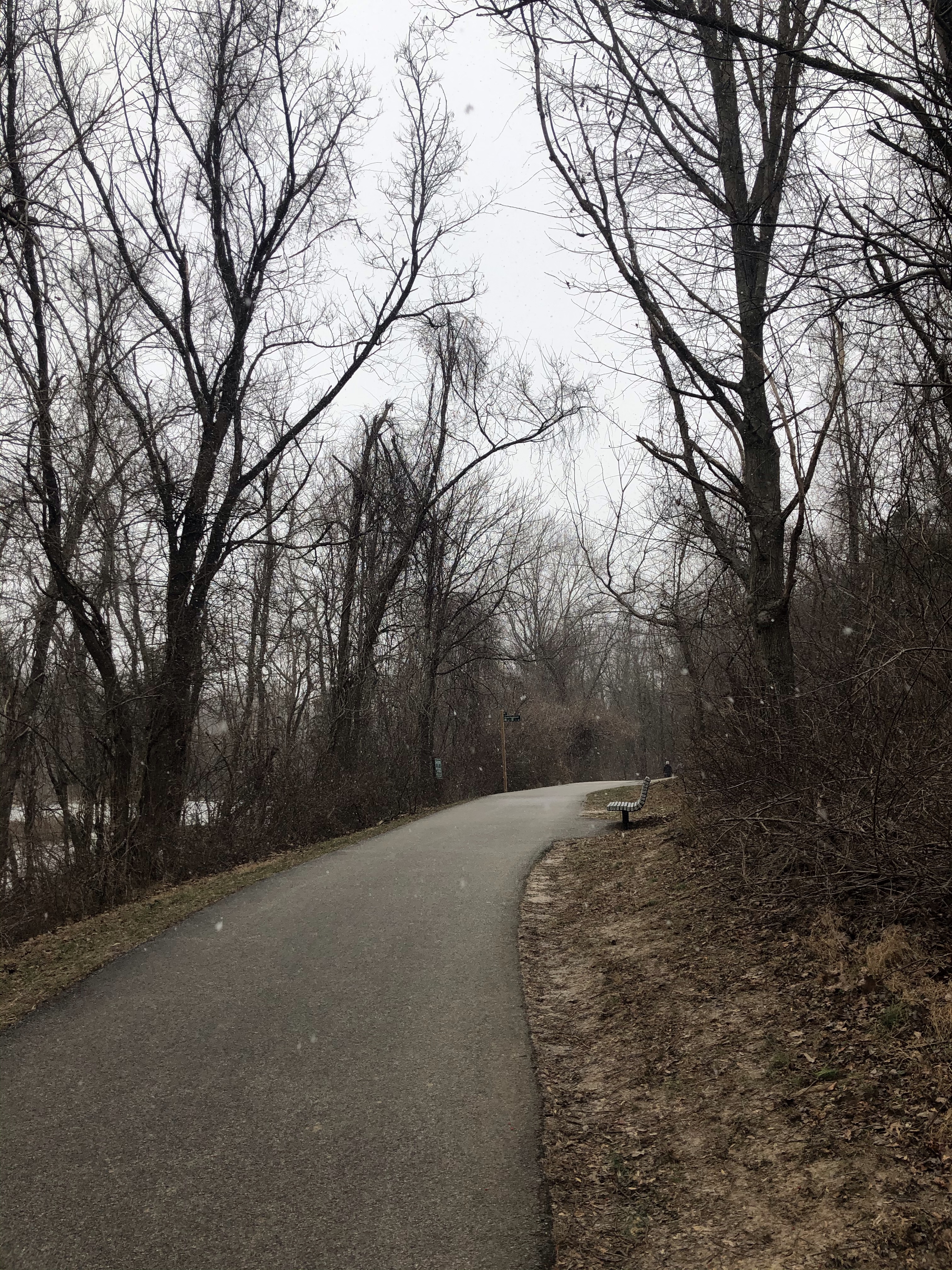
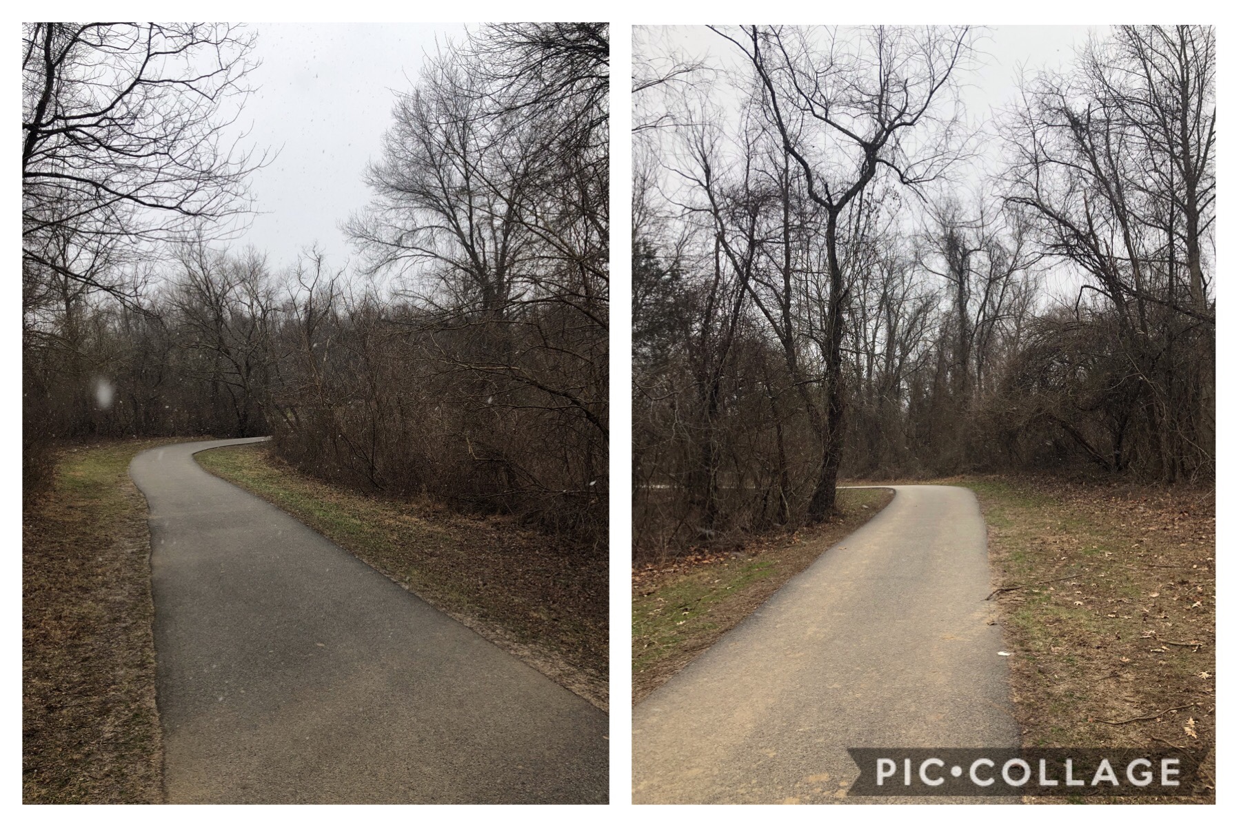
Turning left would take us down to Catoctin Hollow Rd. (East end) and beyond. That trail goes on forever to the South connecting to some serious labyrinth of trails. We will come back to discover them another time, even though Mag starts to head that way. After little convincing and a passerby-er’s distraction we continue our journey to the right, on the Catoctin National Recreation Trail (blue). For about 0.6 miles we are parallel to the yellow trail we’ve came on. I can hear people hiking on it now.
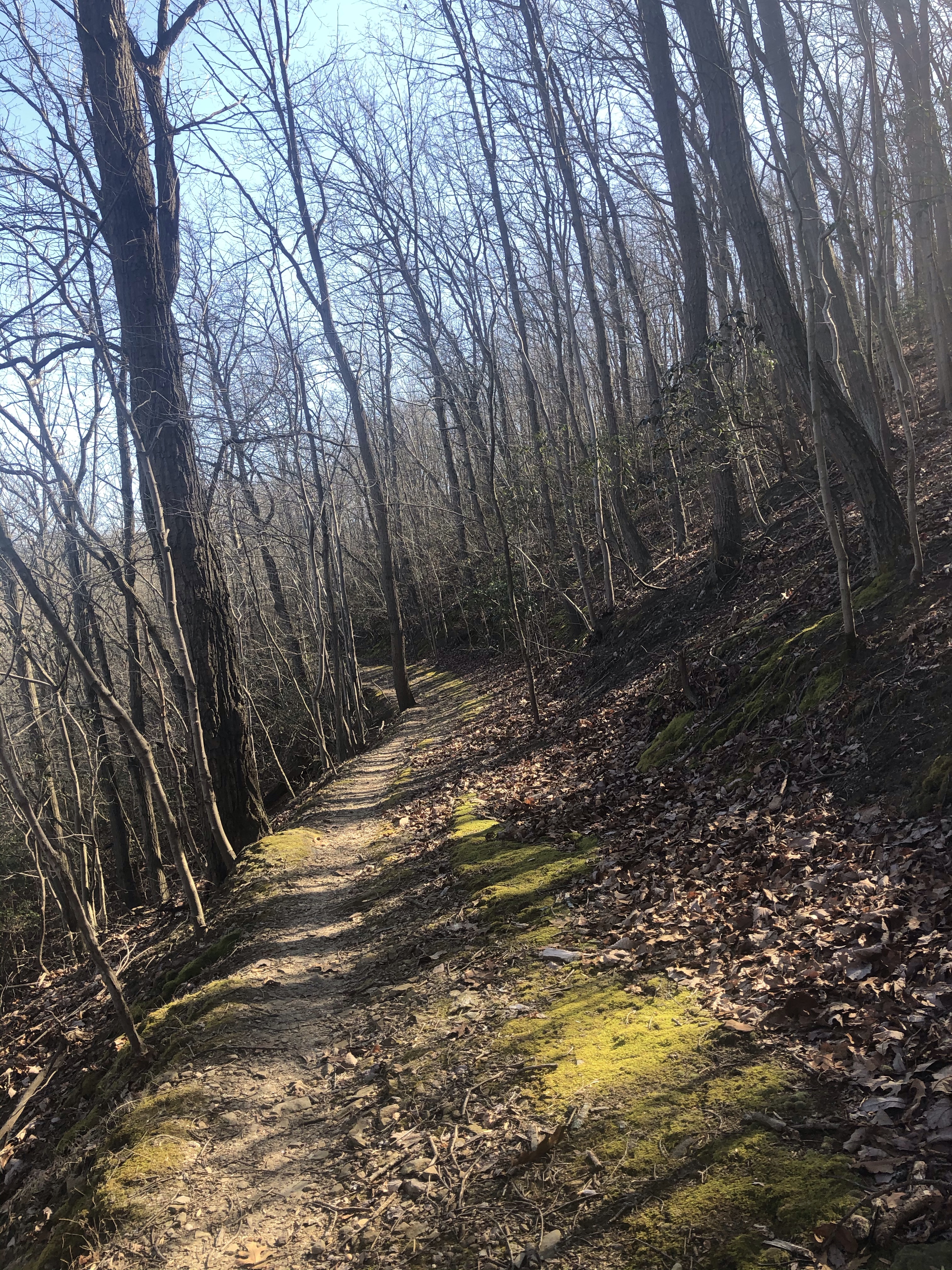
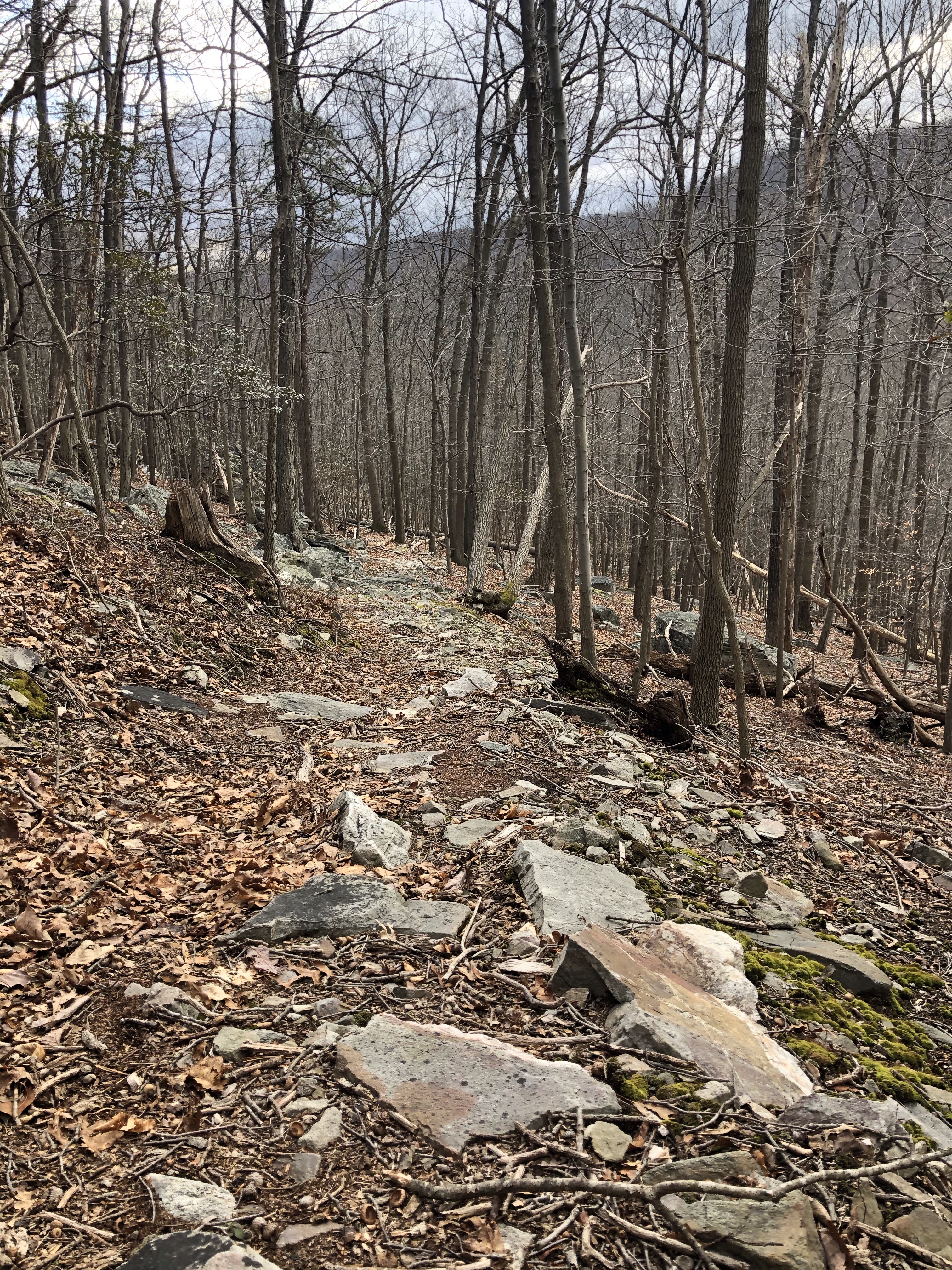
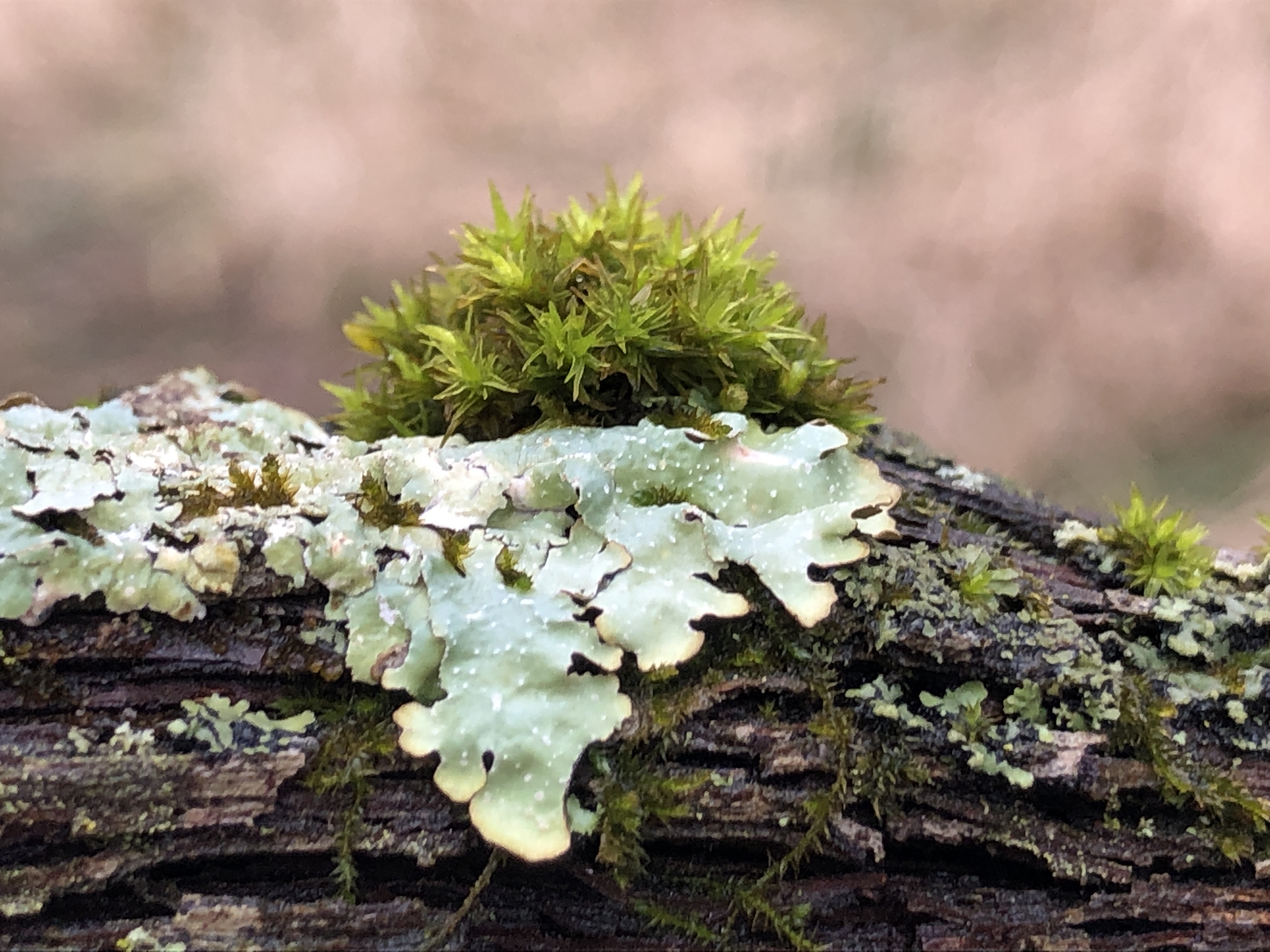
Our trail however is skinnier and is very different from the one only about fifty feet away. Super rocky and messy and everything is covered in lichens.
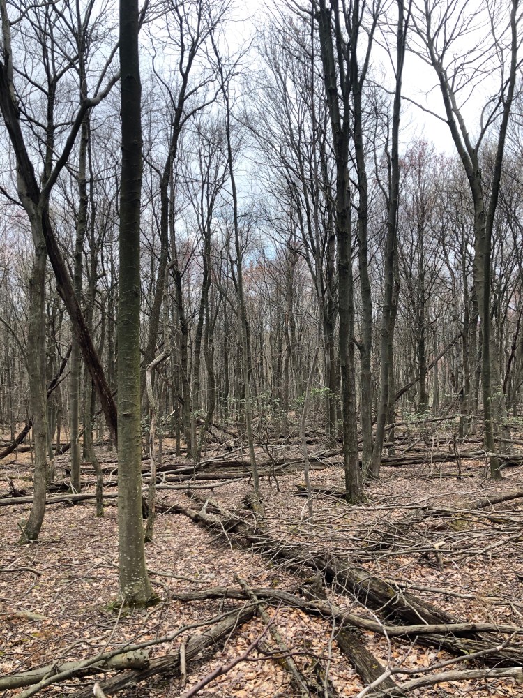
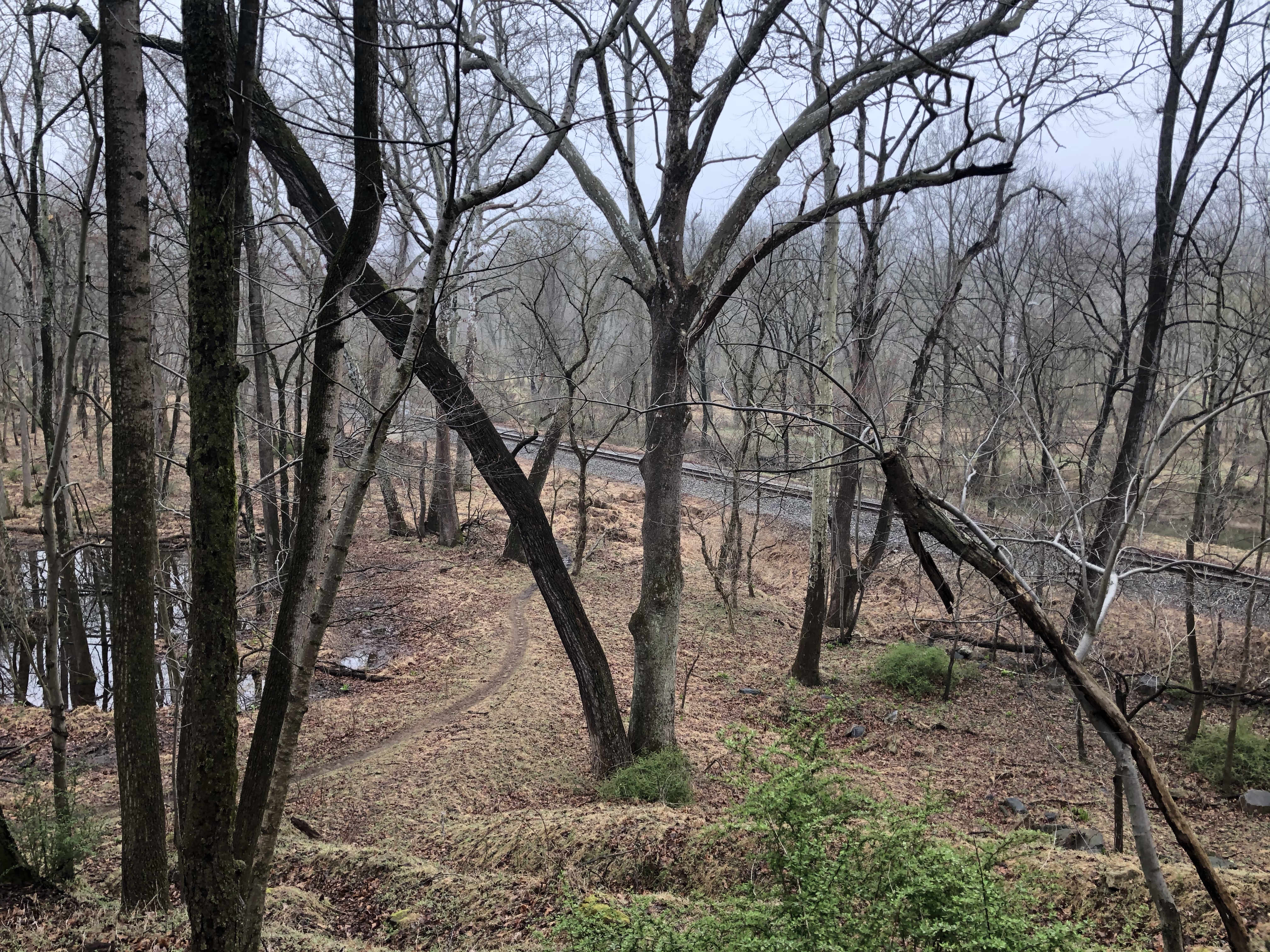
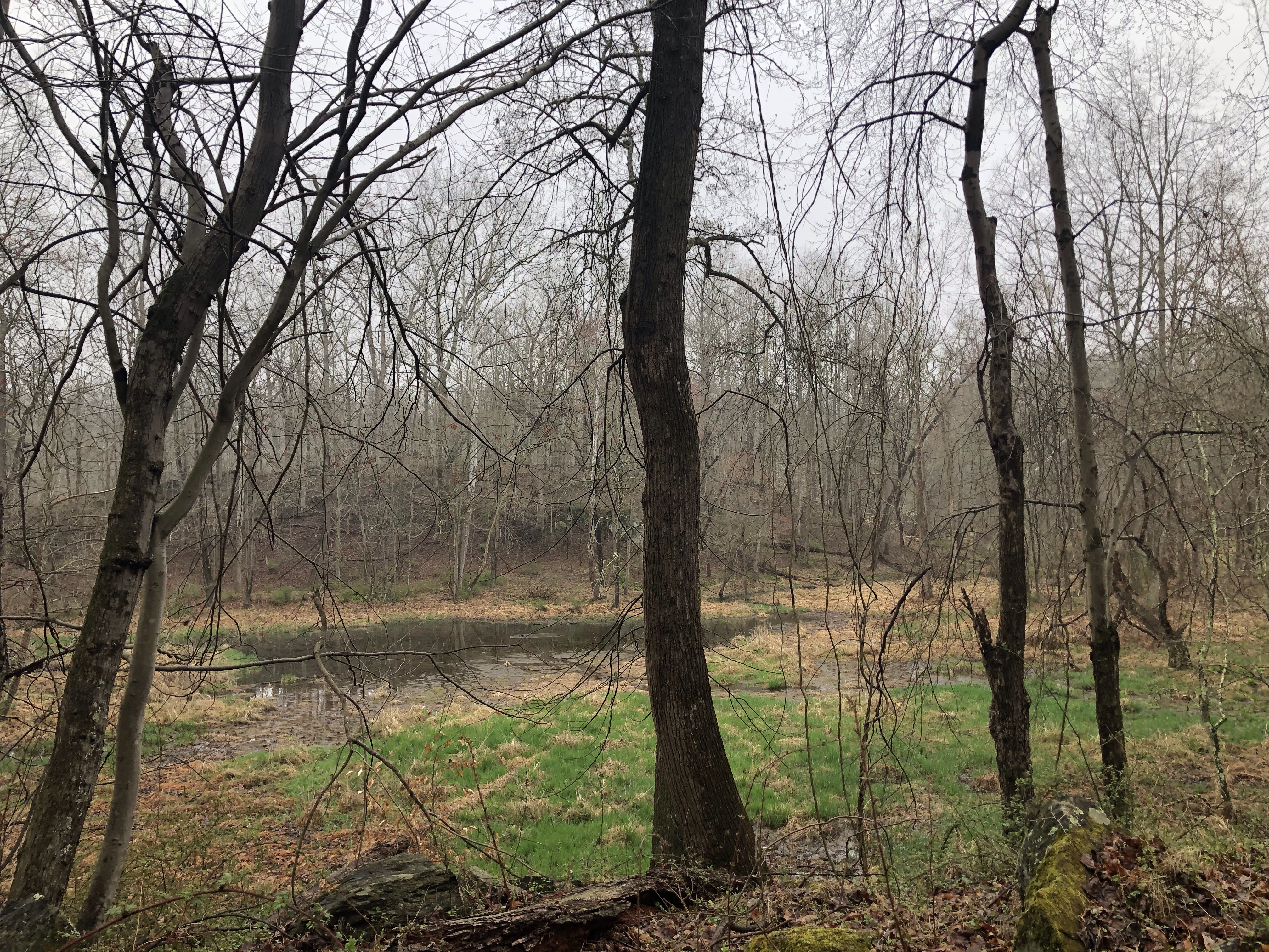
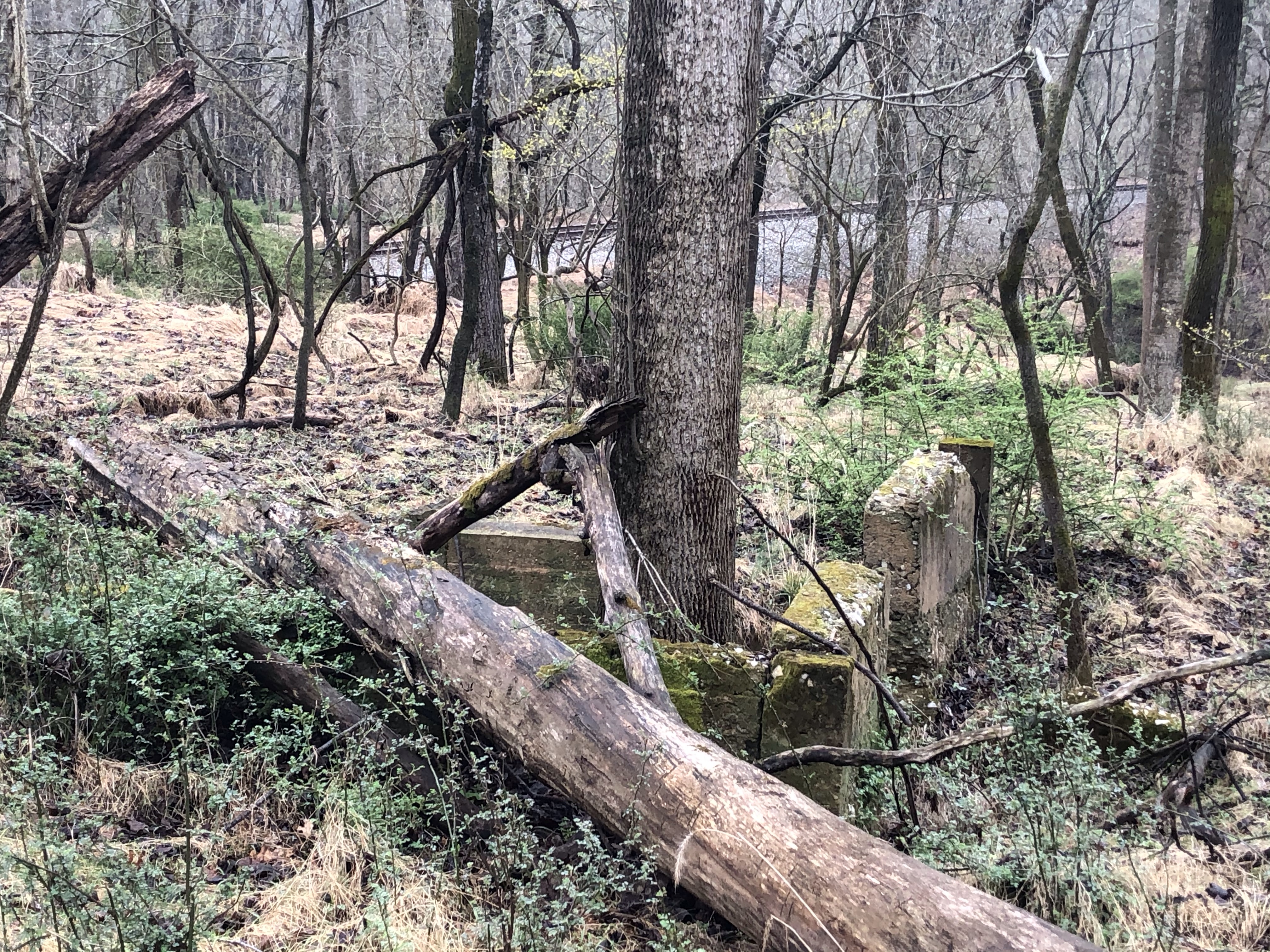
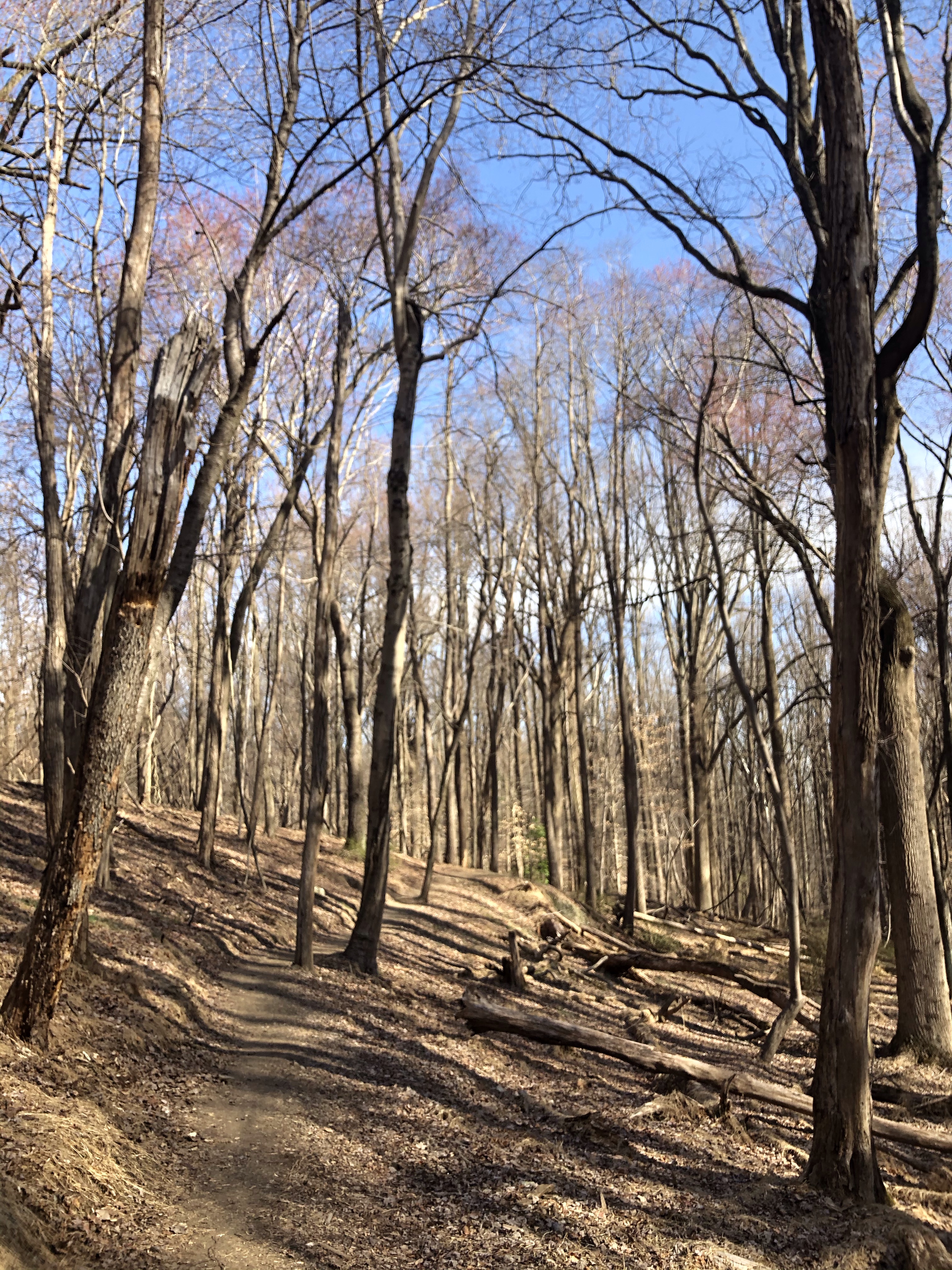
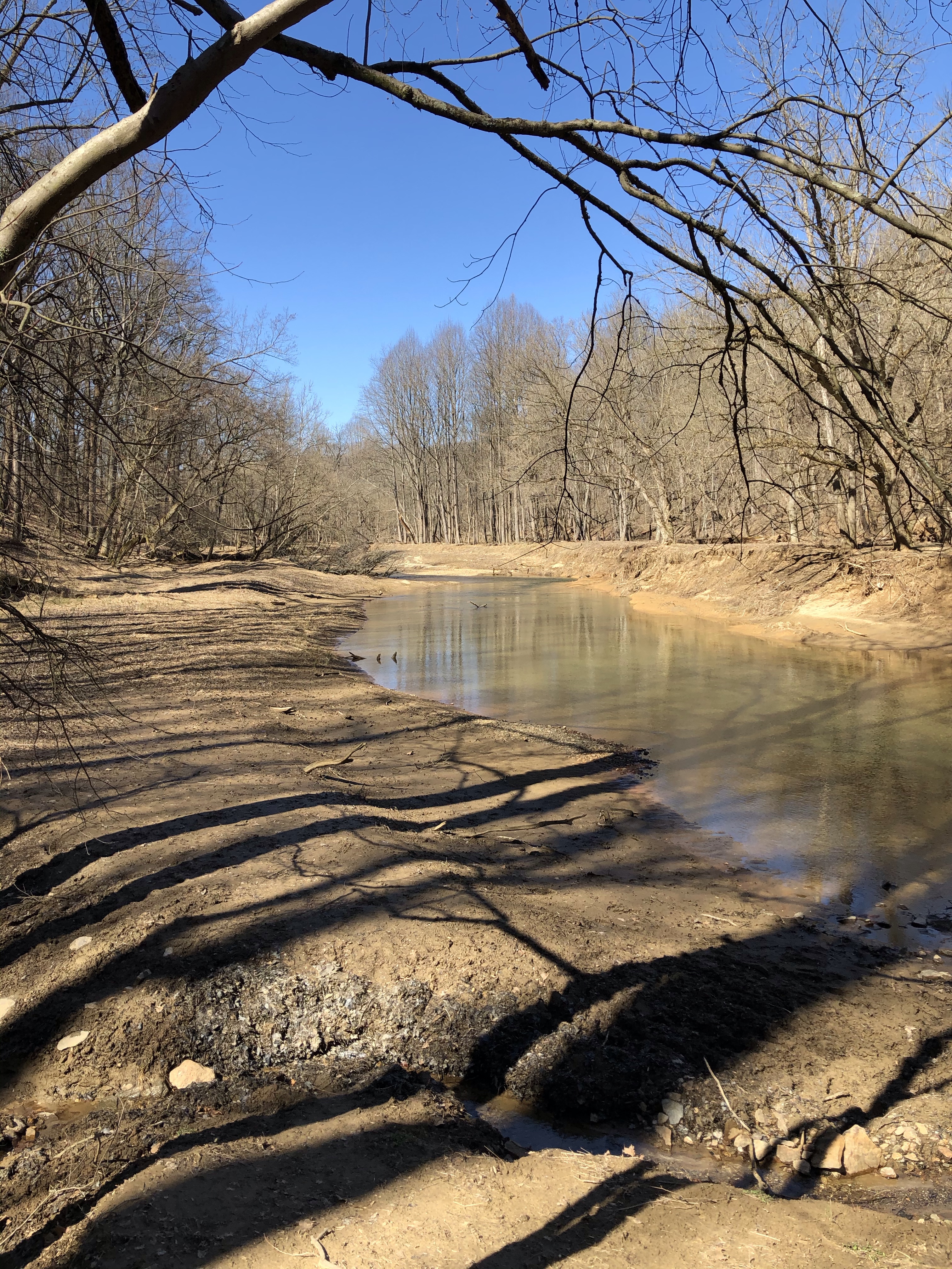
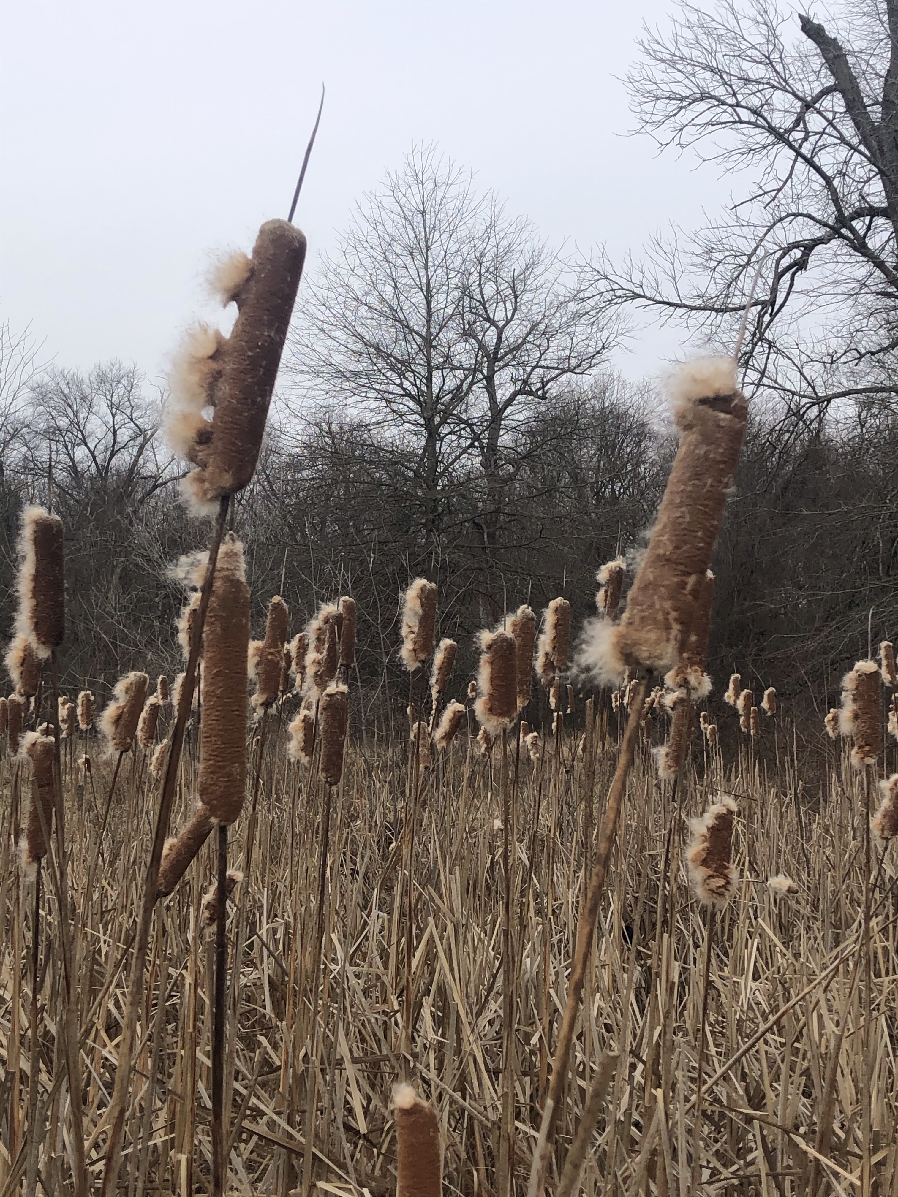
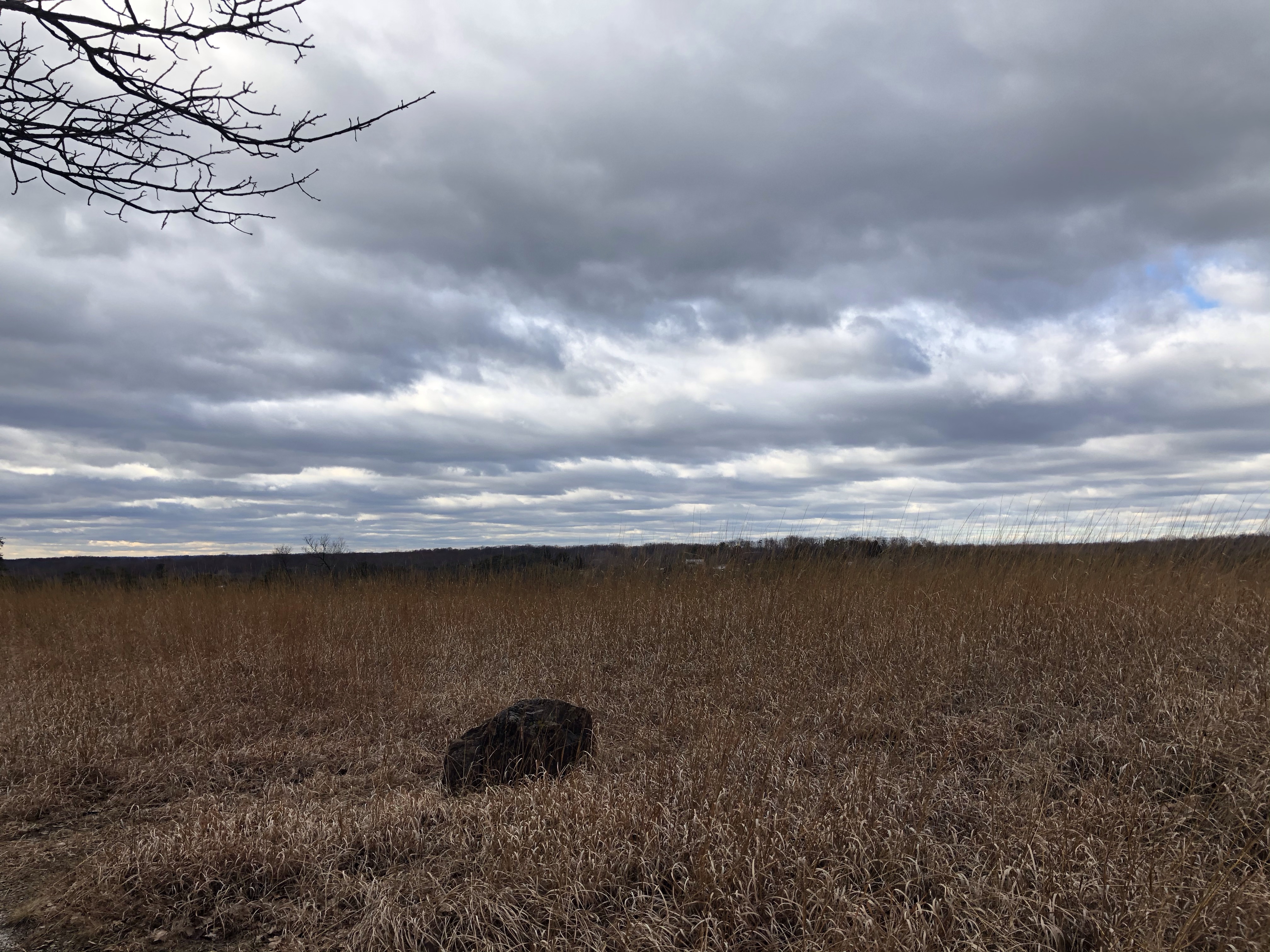
The narrow trail winding through the forest in a decline and we are “writing” a huge M on the map, headed towards Hunting Creek Lake. There are no wildflowers present, its pretty dense and the bottom is covered with hundreds of fallen trees.
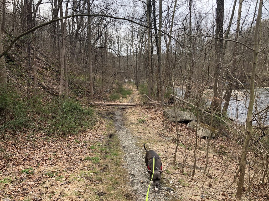
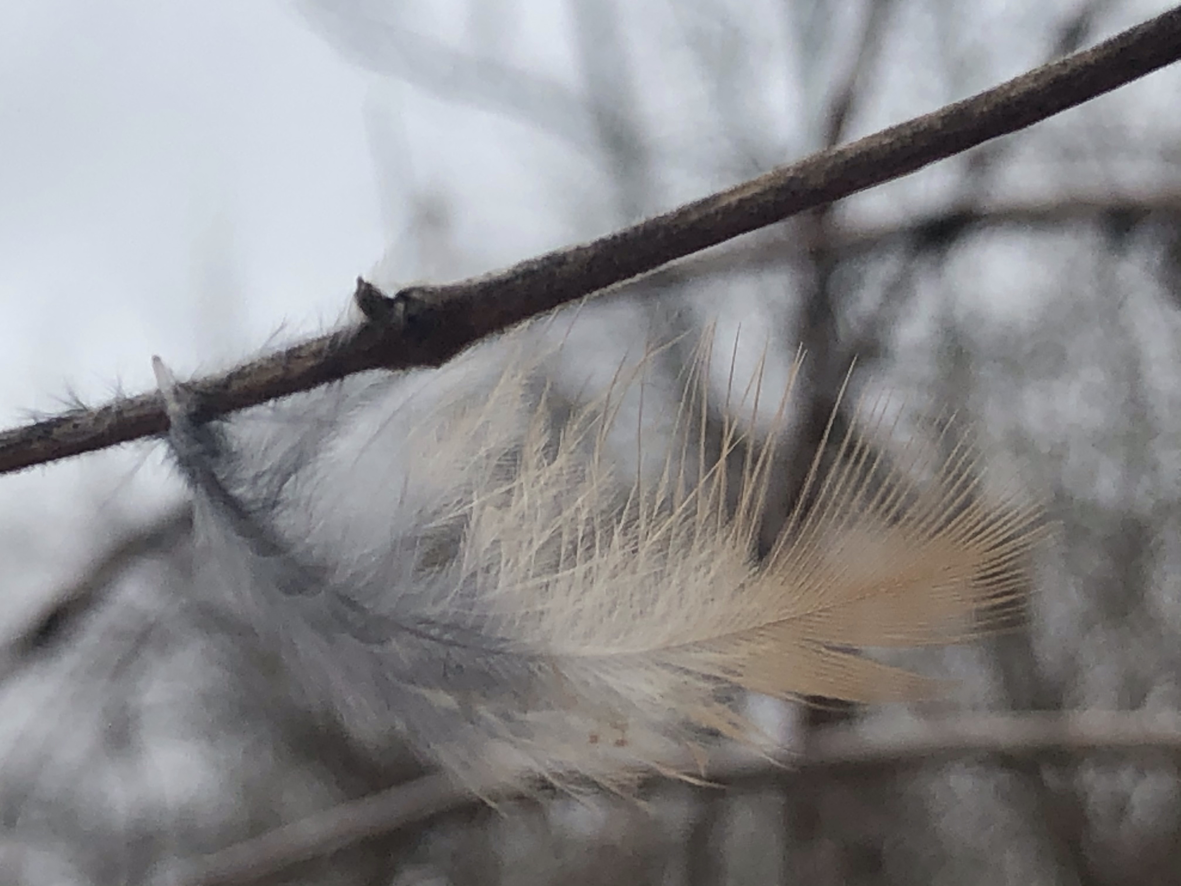
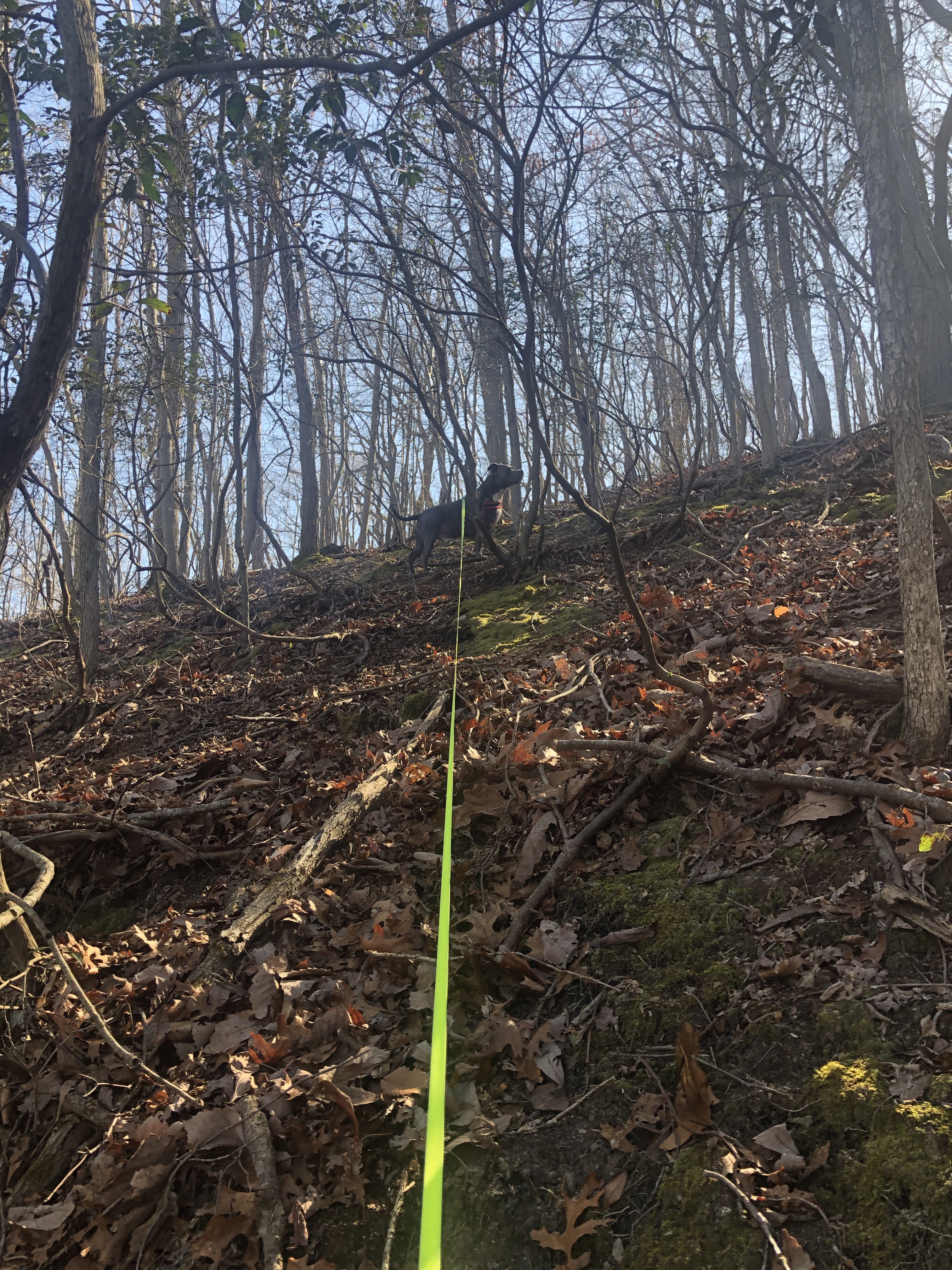
Mag has been leading the way like a champ but I am still able to spot a little orphaned nest on the ground. Relocating it successfully at the 3.9 mile mark. I doubt that any bird will use it again but at least it won’t be crushed by humans. We are descending rapidly now through rocky surface then water saturated soil that is so spring like. Walking on funky shag carpet in the the middle of the woods….
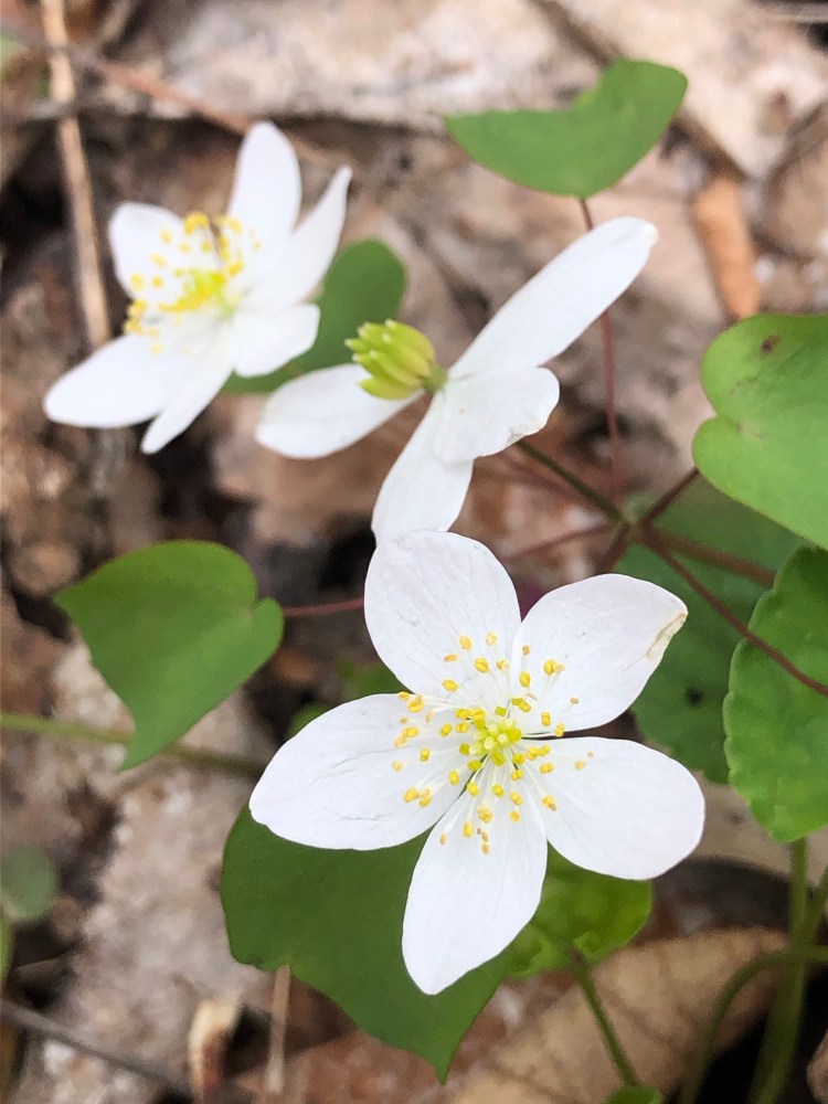
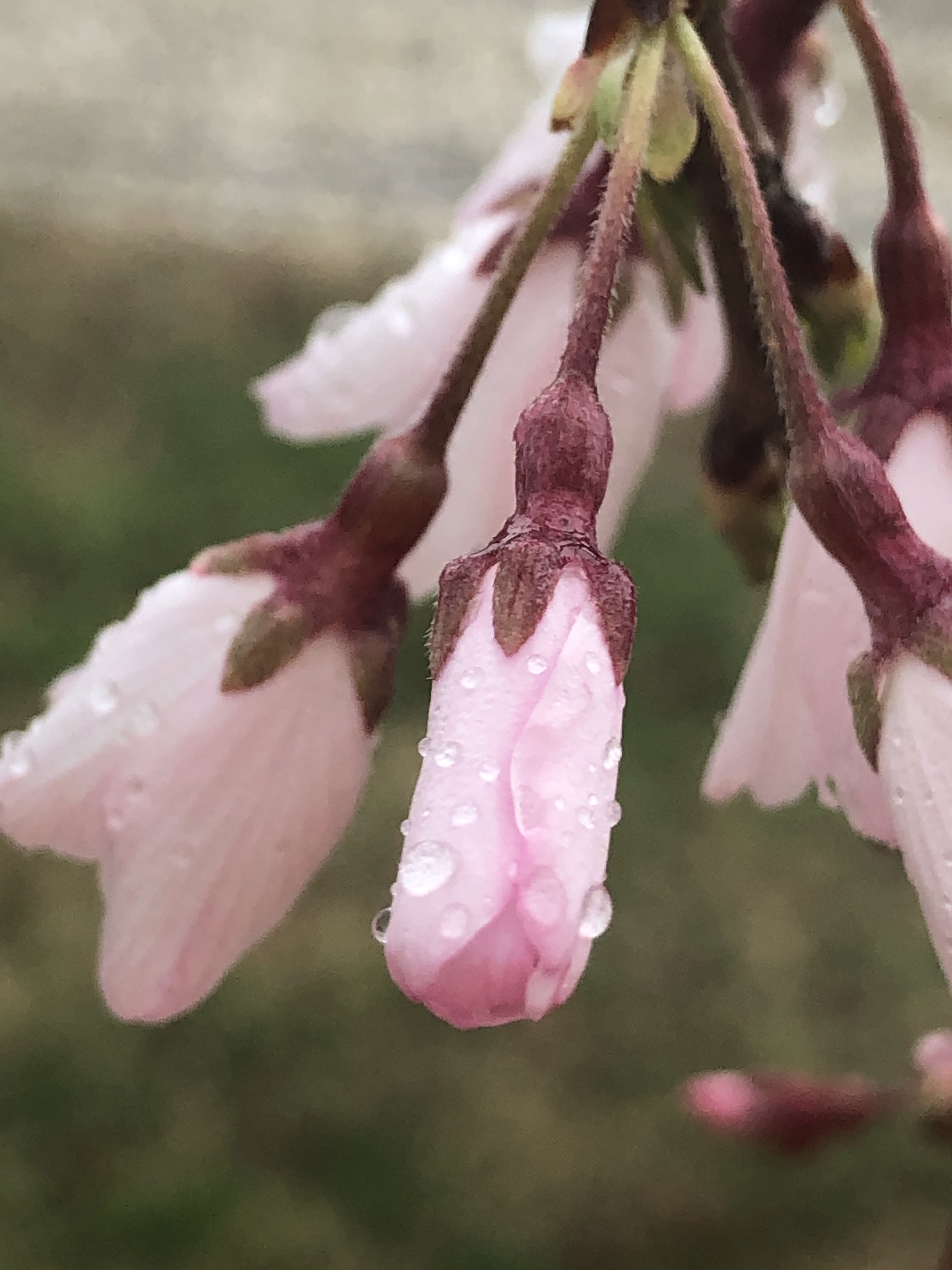
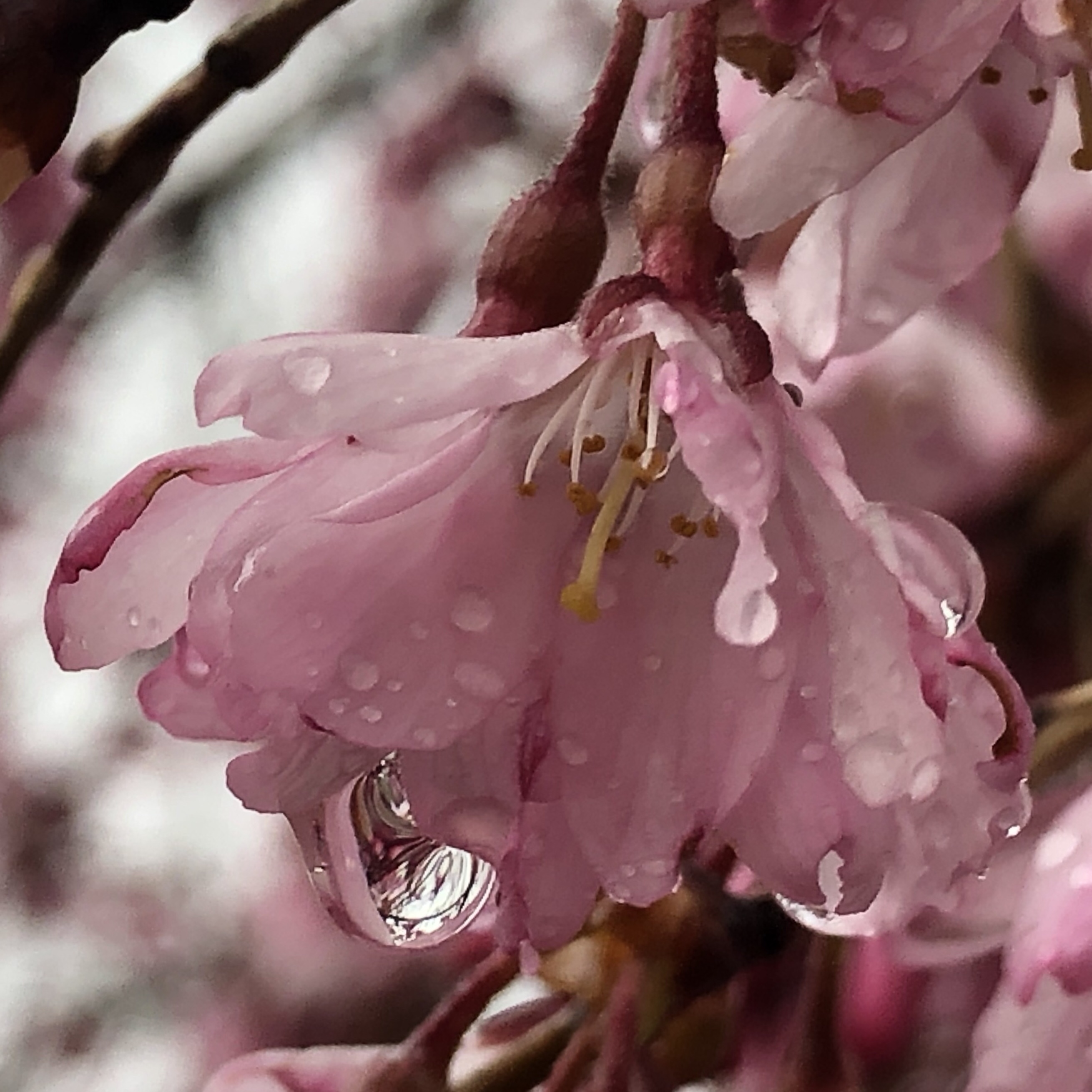
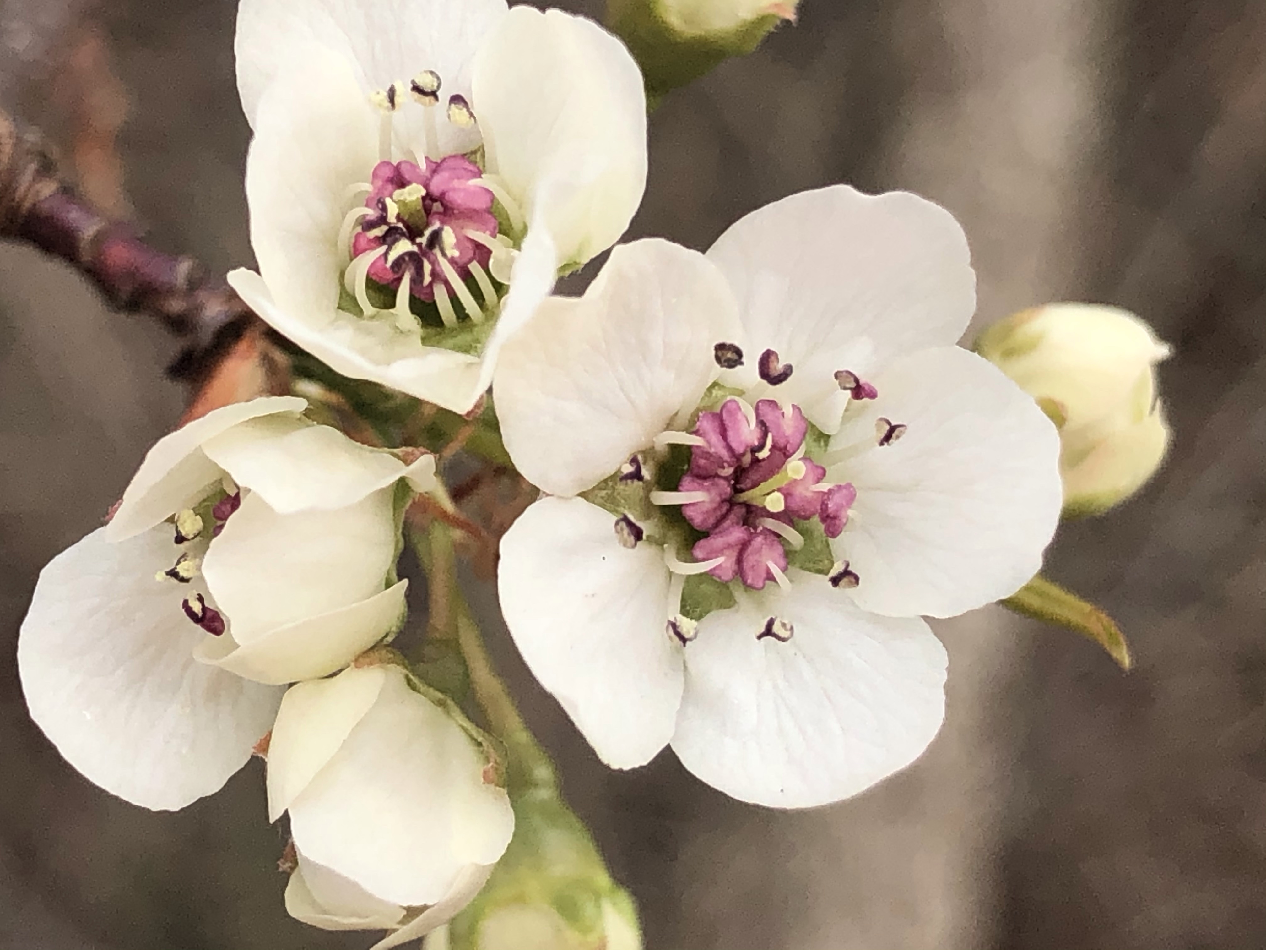
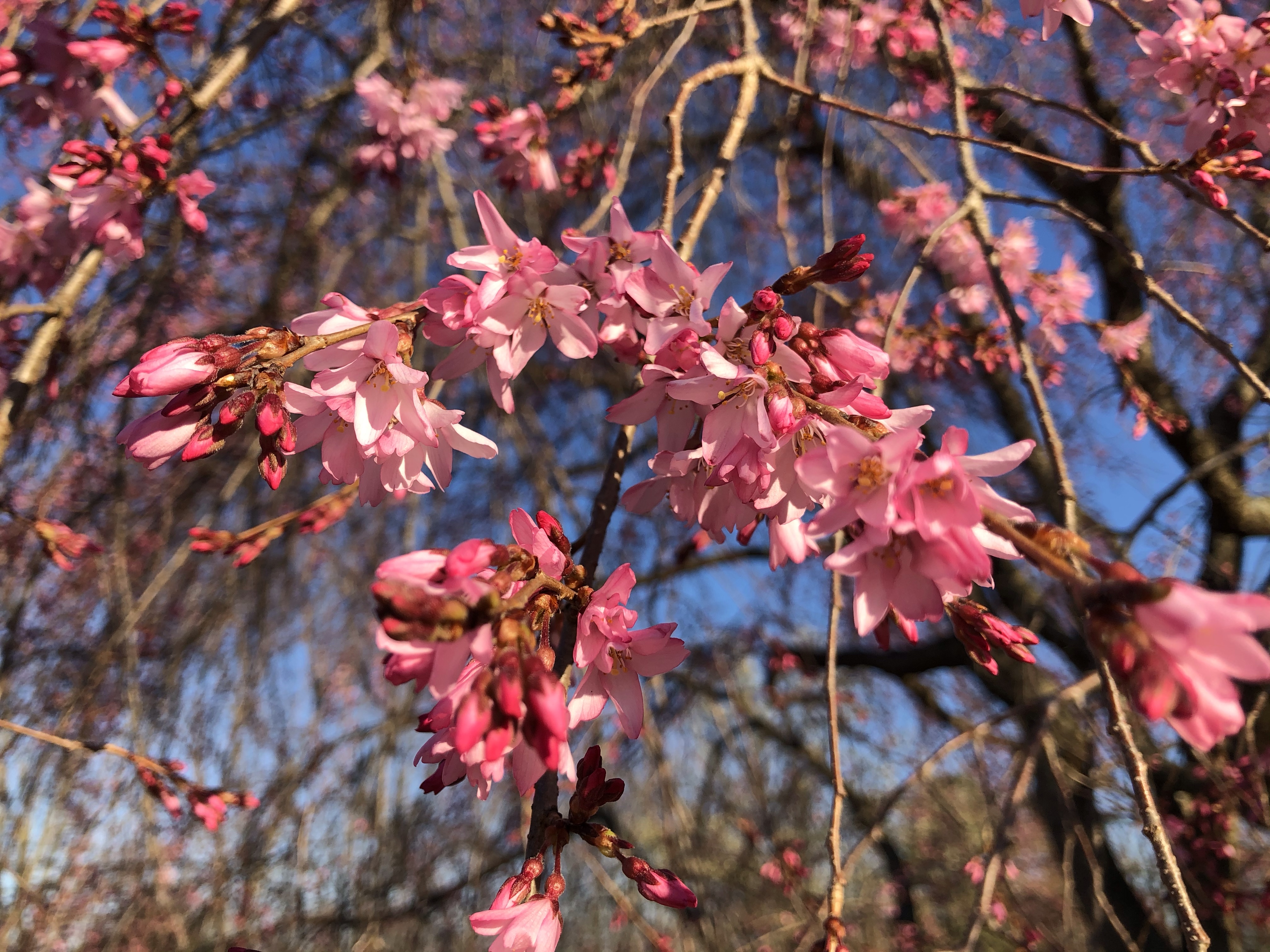
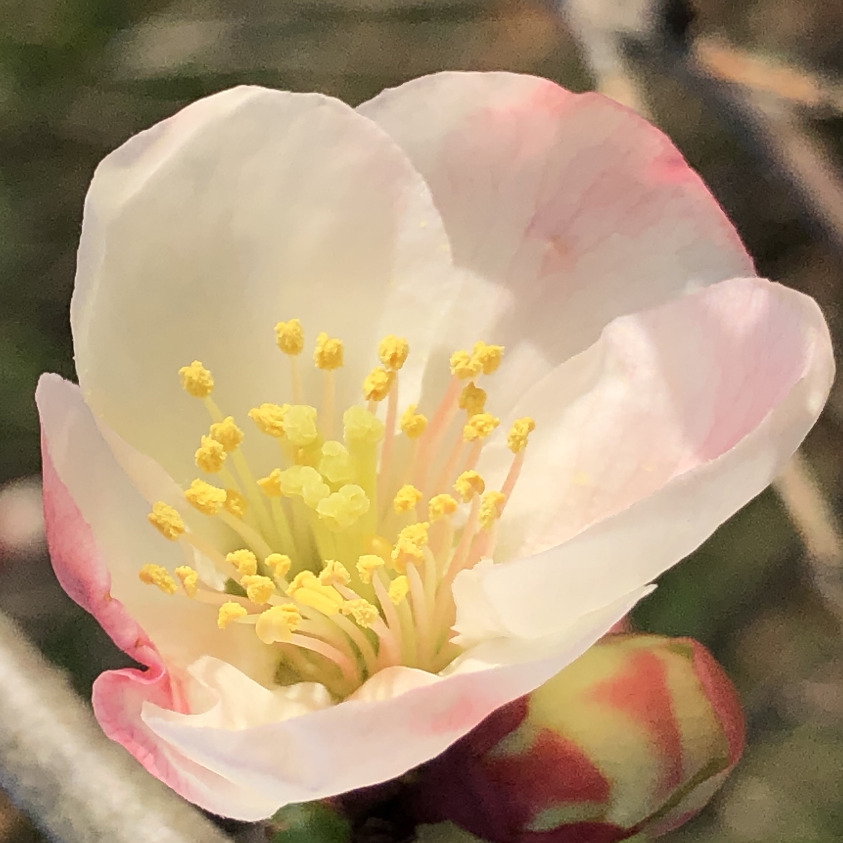
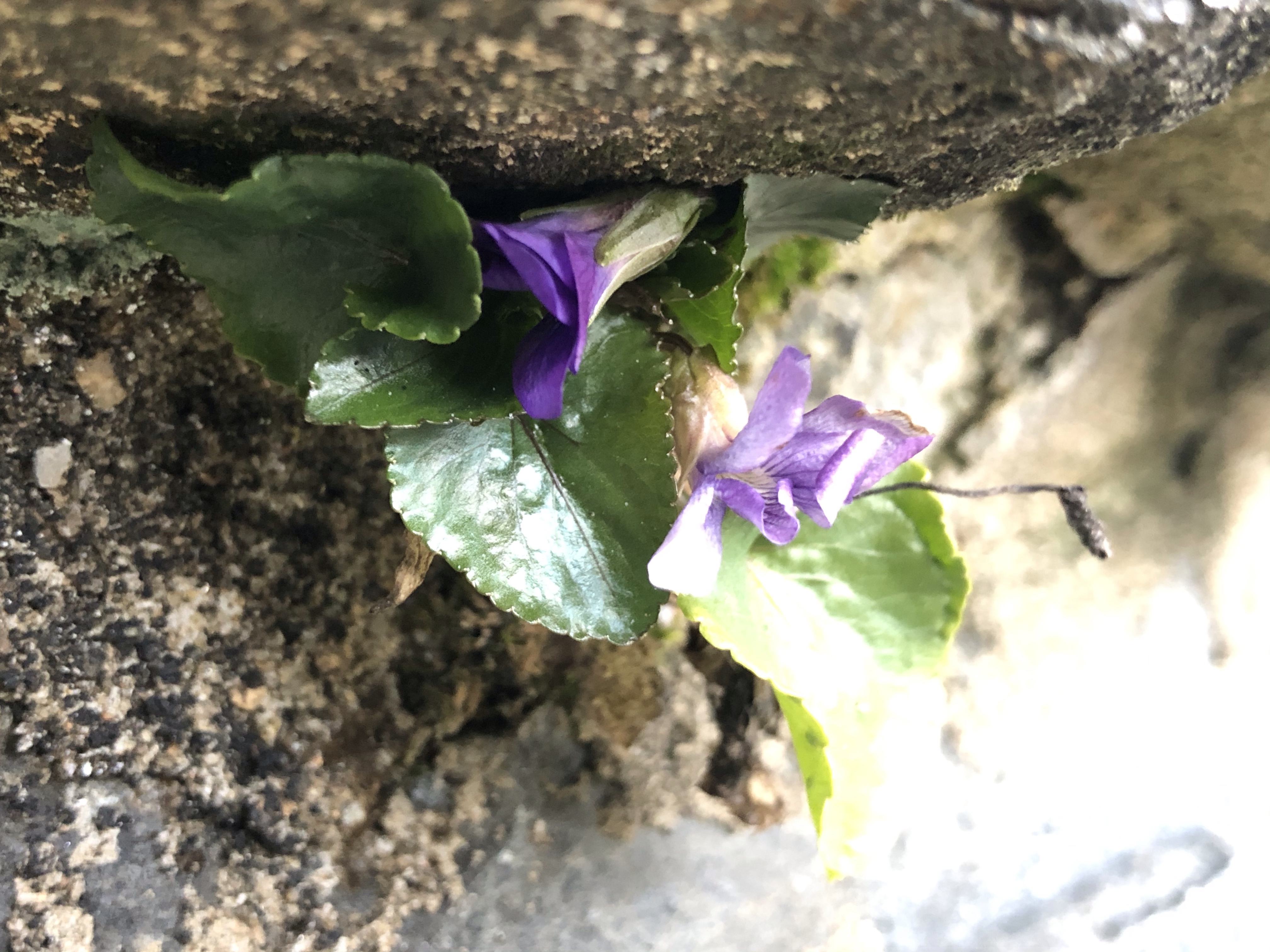
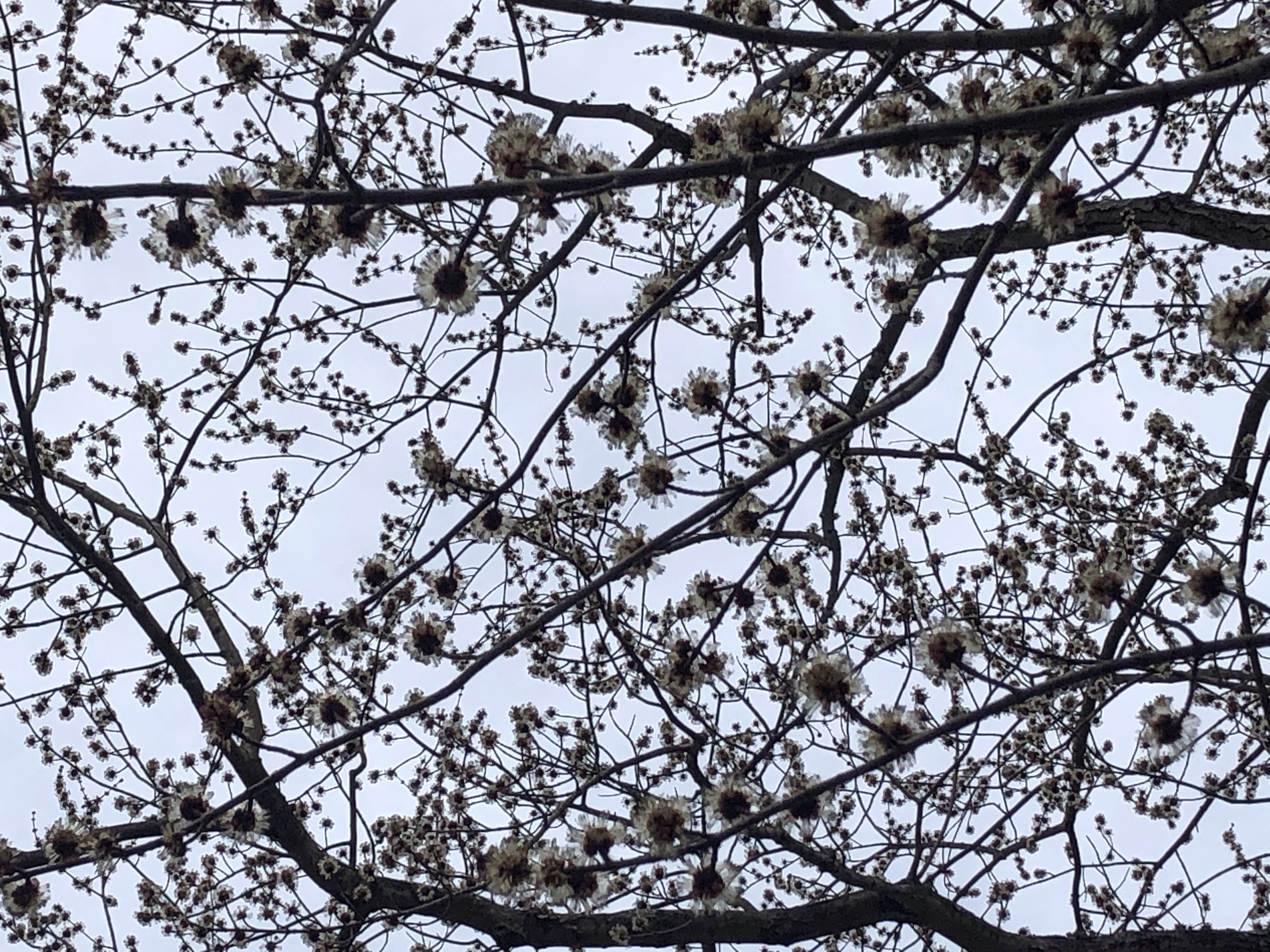
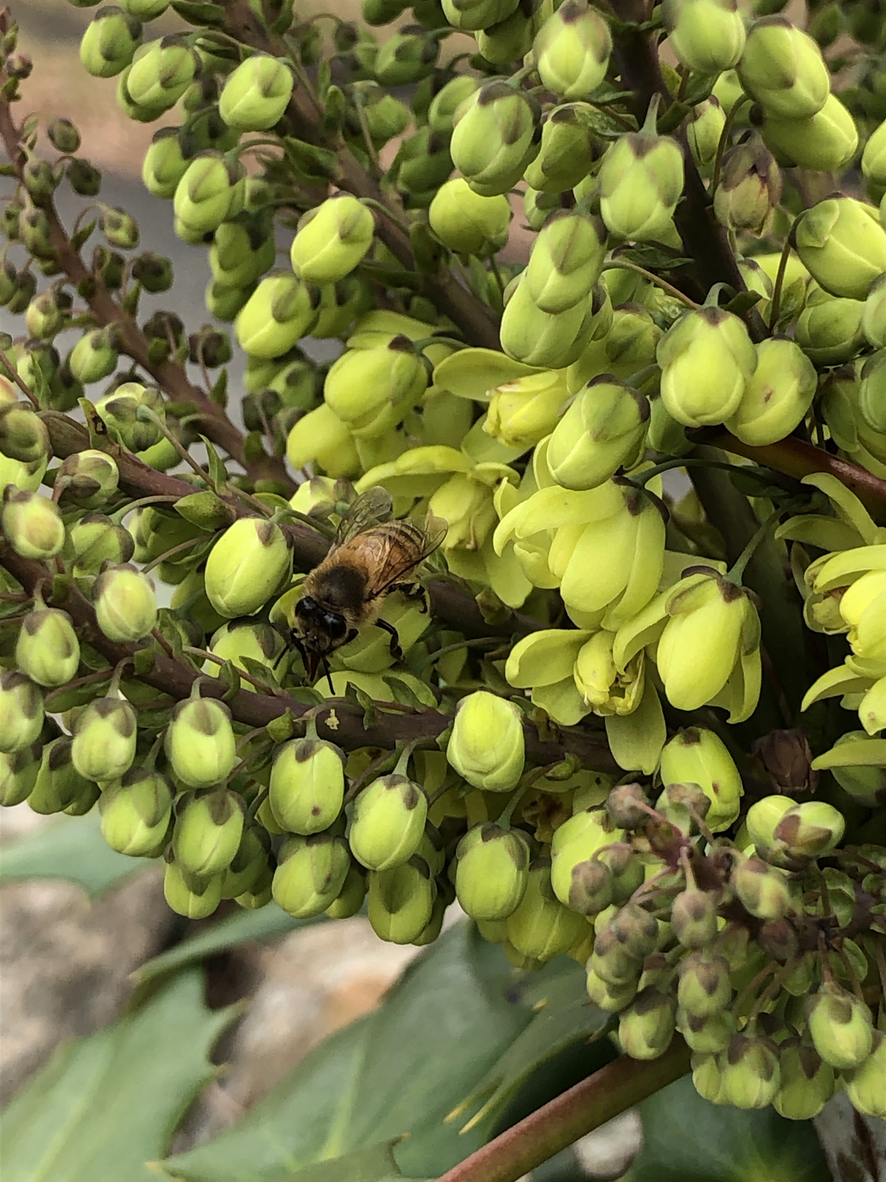
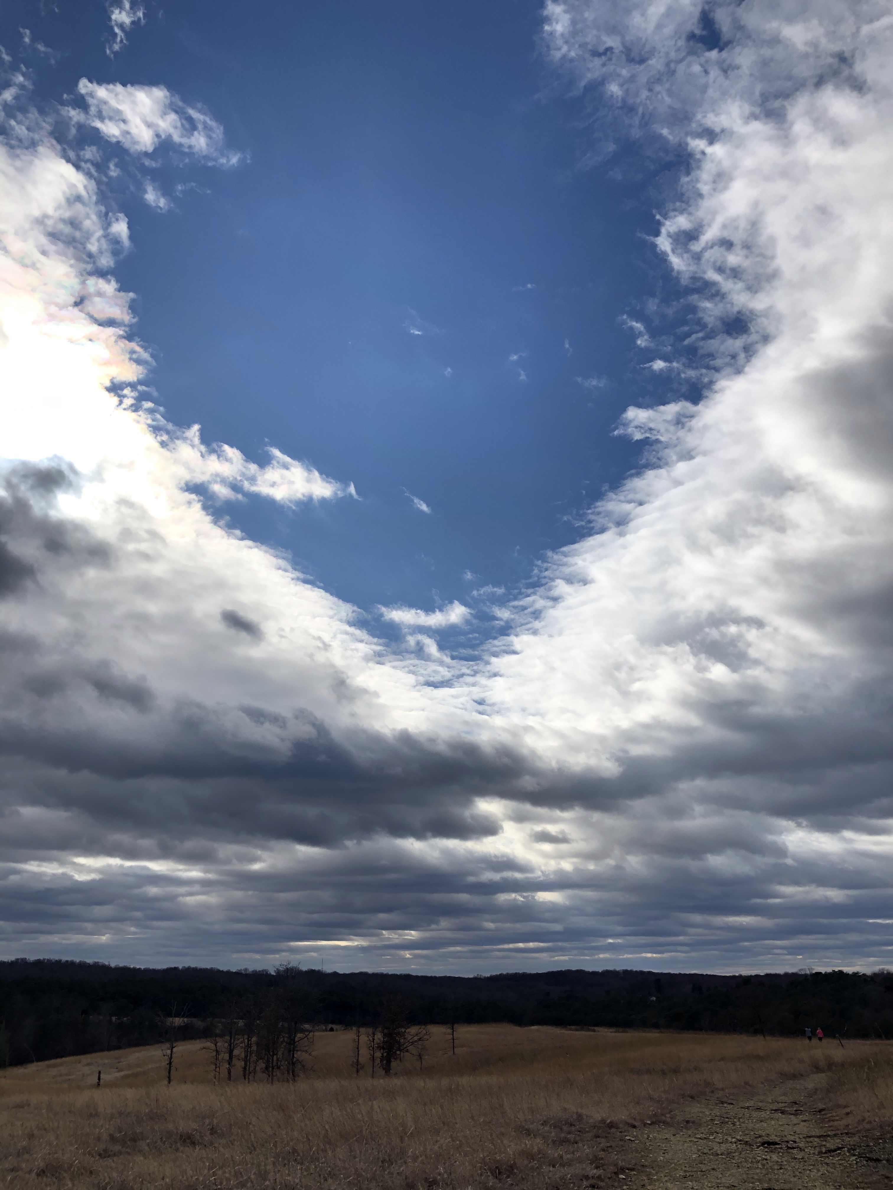
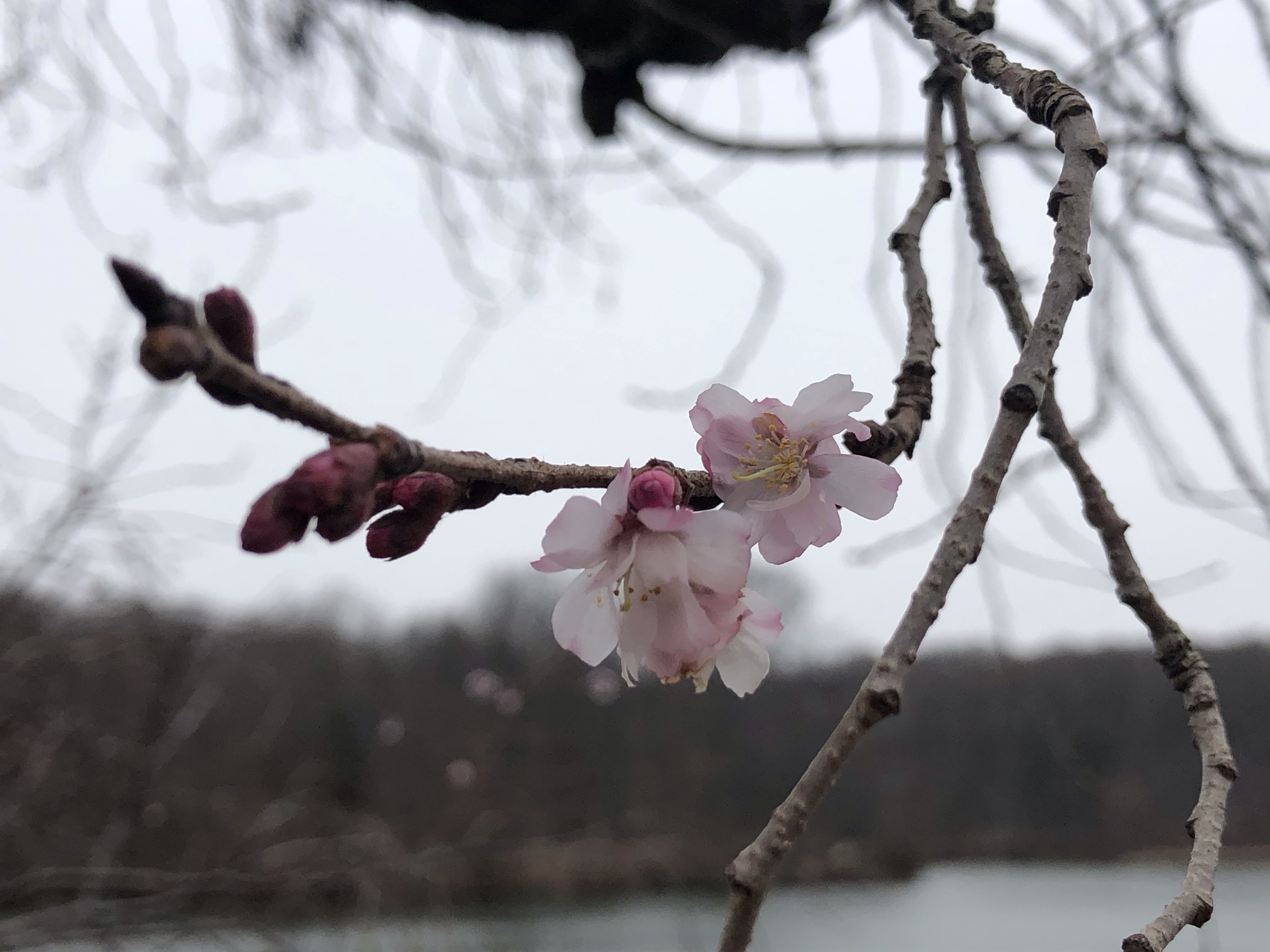
The weather is kind of undecided too, I have to keep changing back-and-forth between my hoodie and my cotton long sleeve under-layer. The trail is occasionally lined with Downy Yellow- and regular purple violets visited by humming bumblebees. Just before reaching Catoctin Hollow Rd. – I can hear light traffic – these delicate white flowers take over.
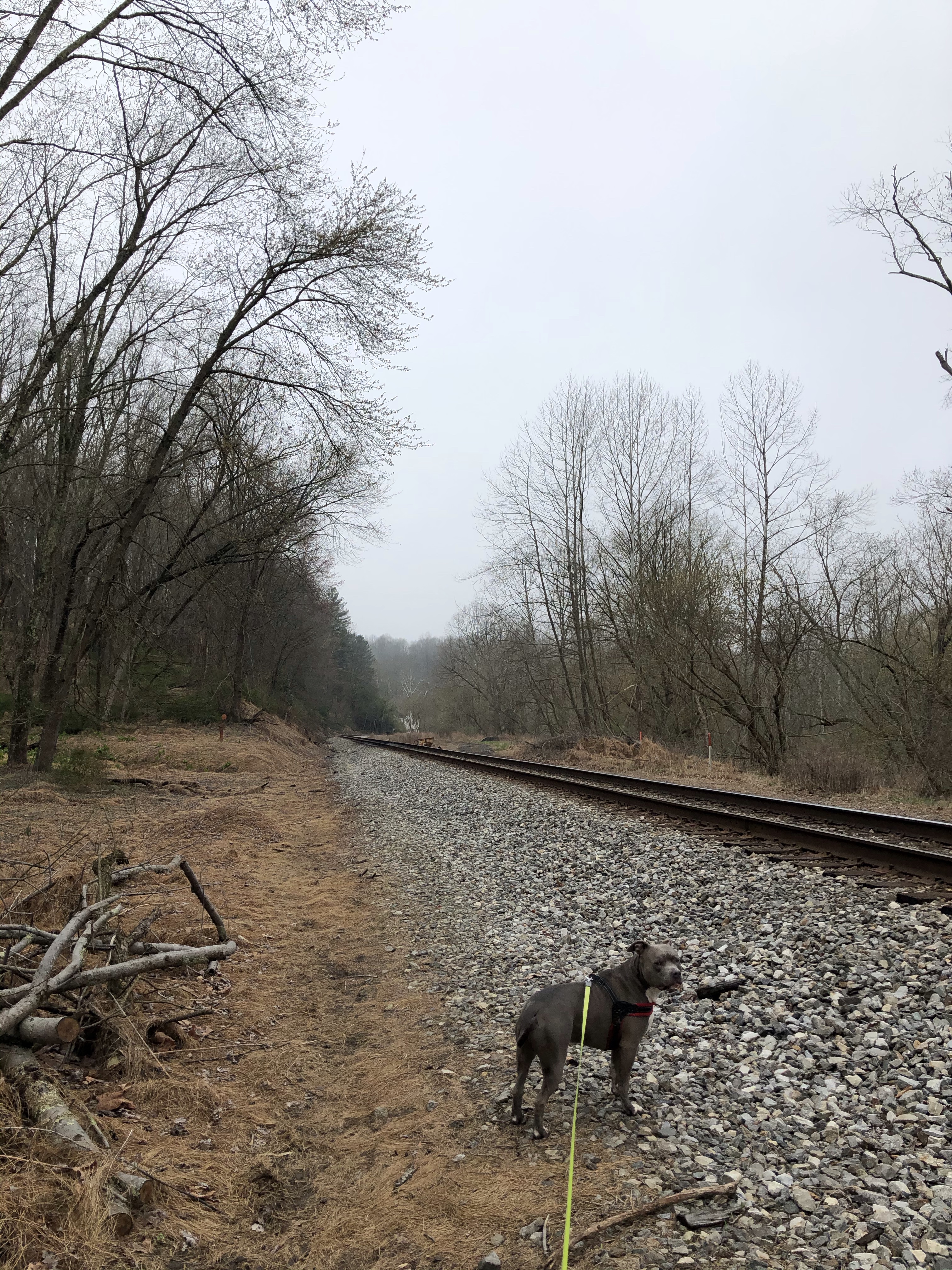
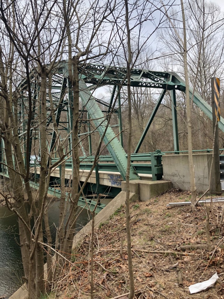
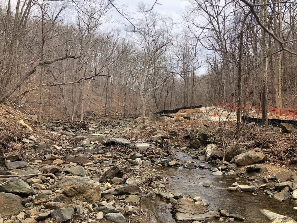
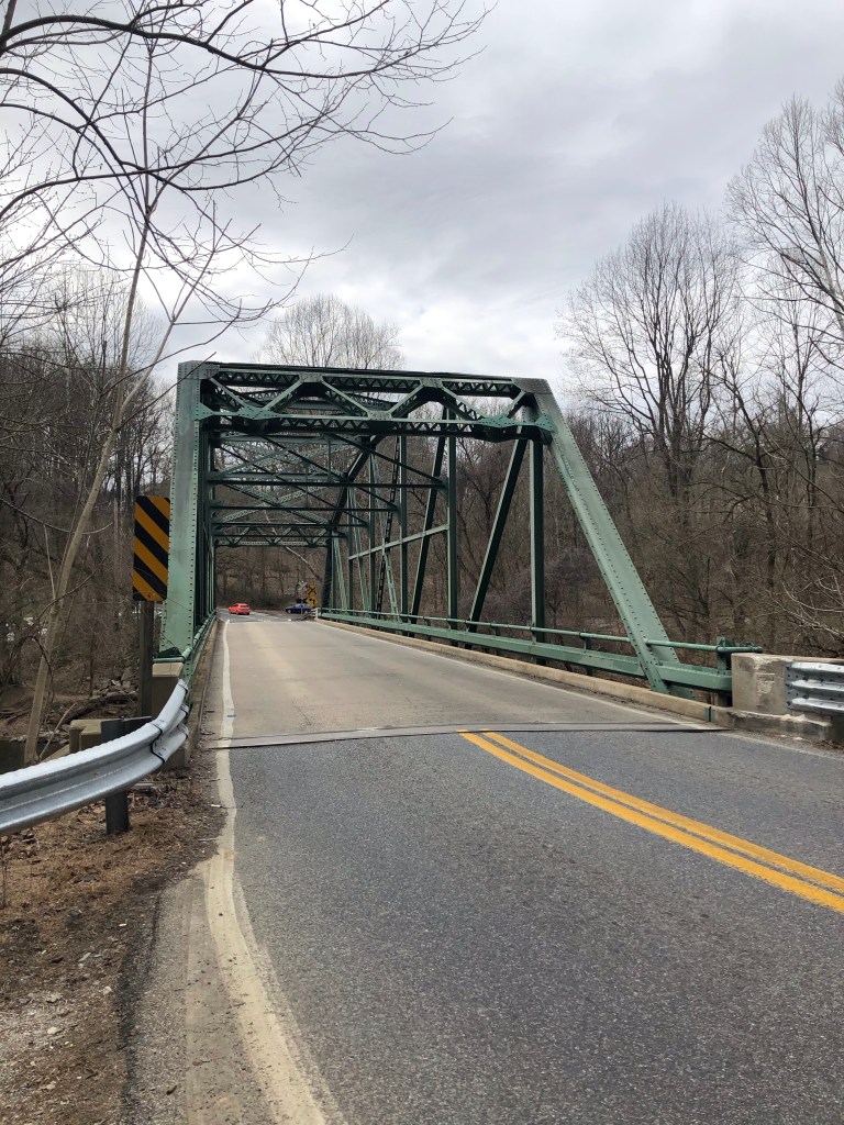
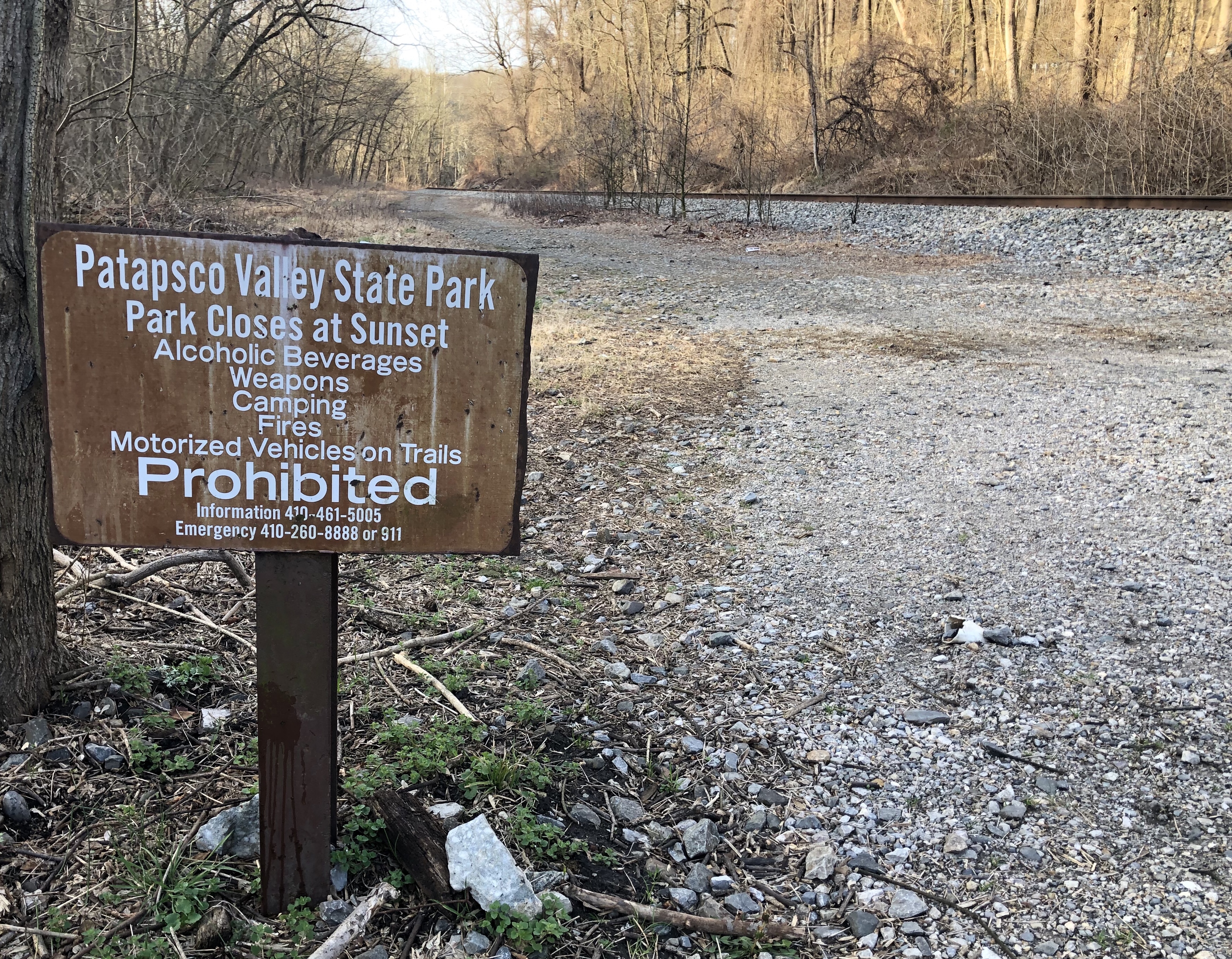
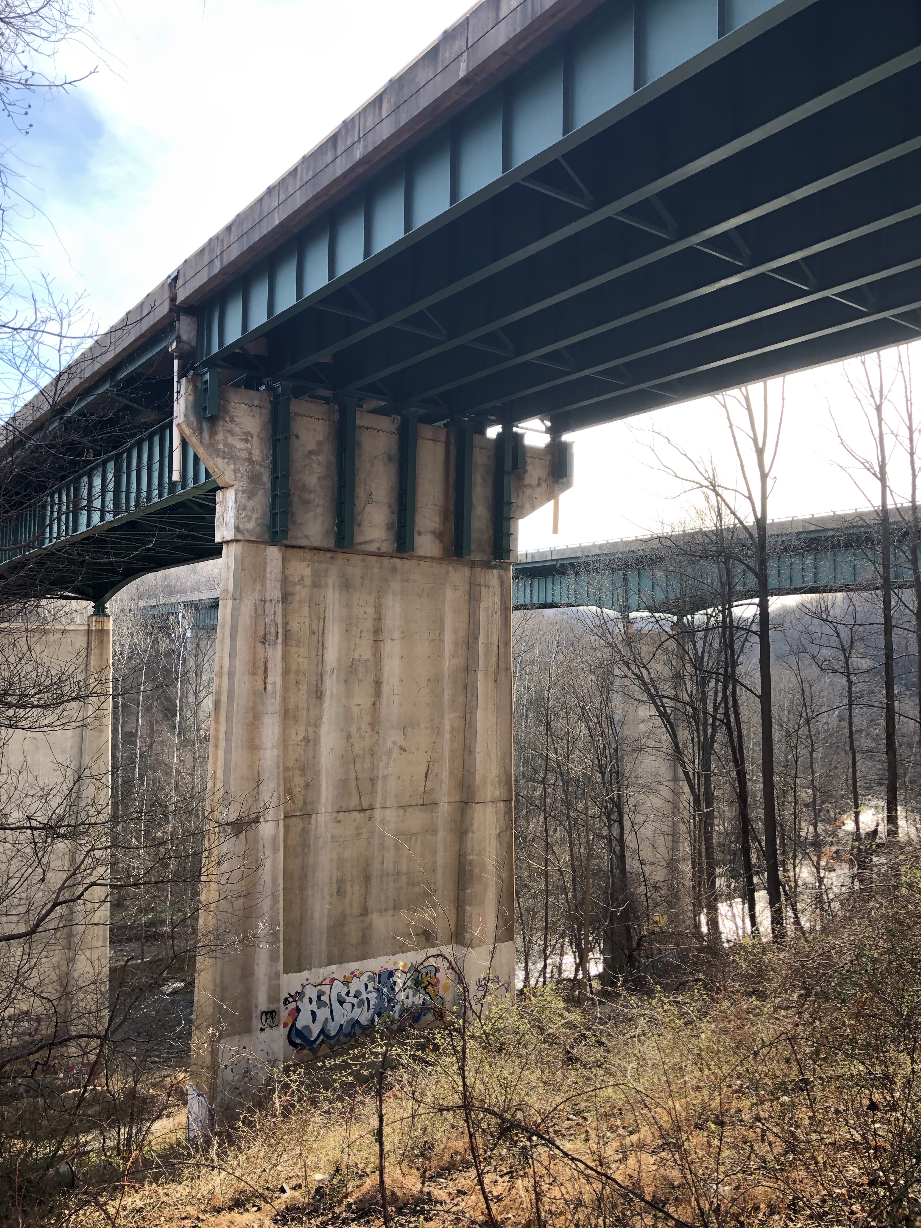
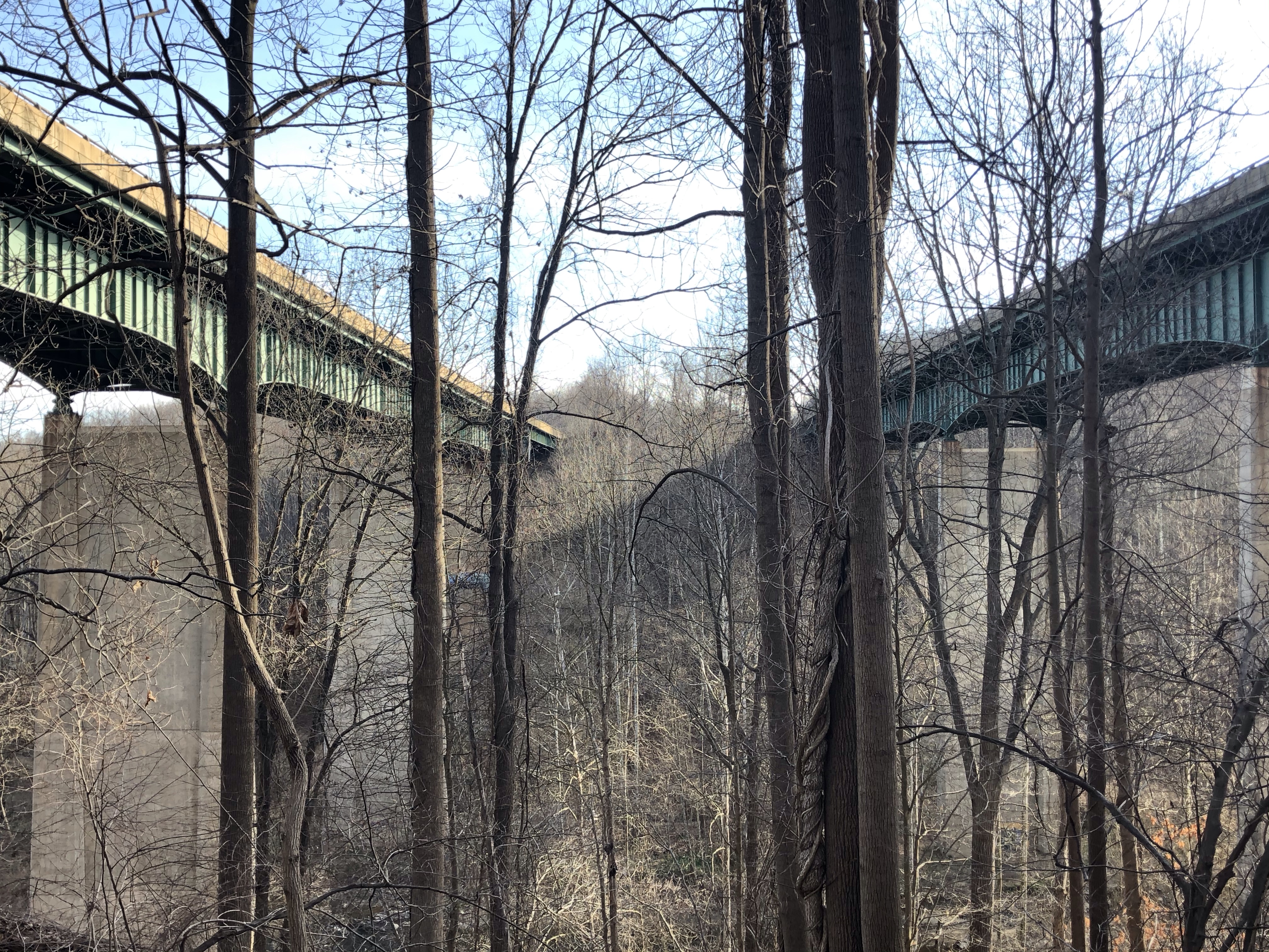
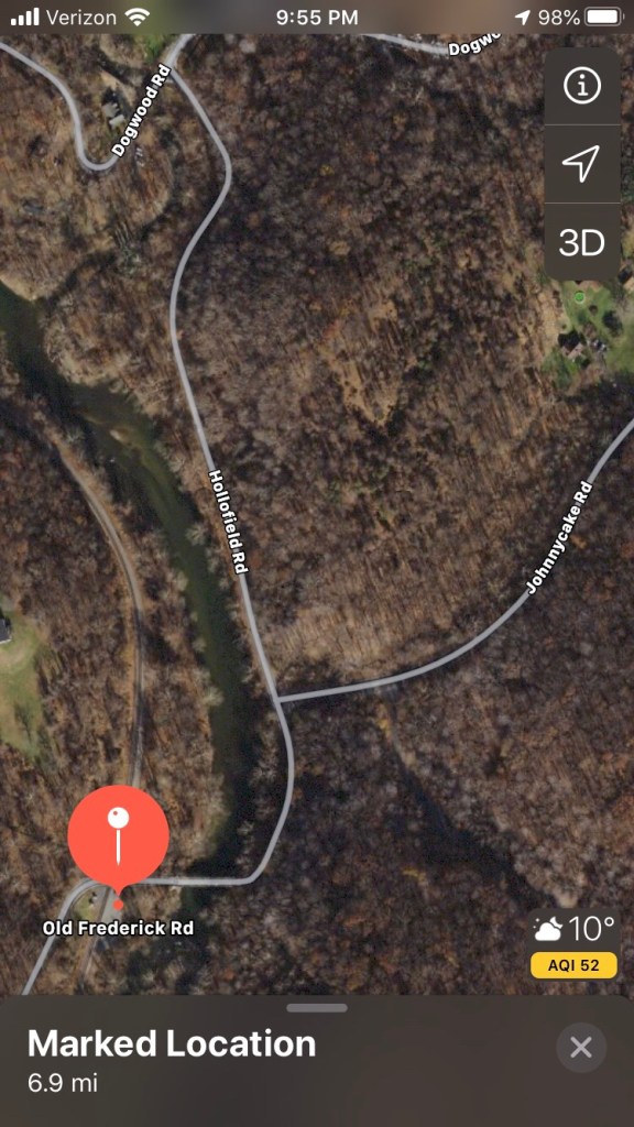
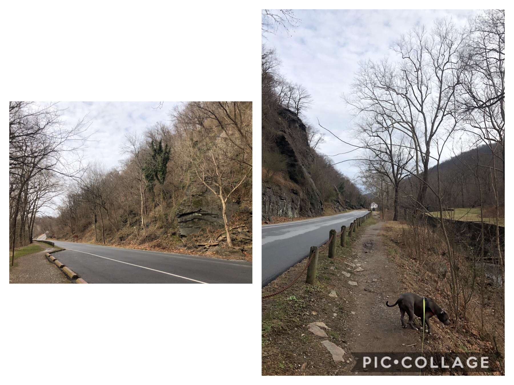
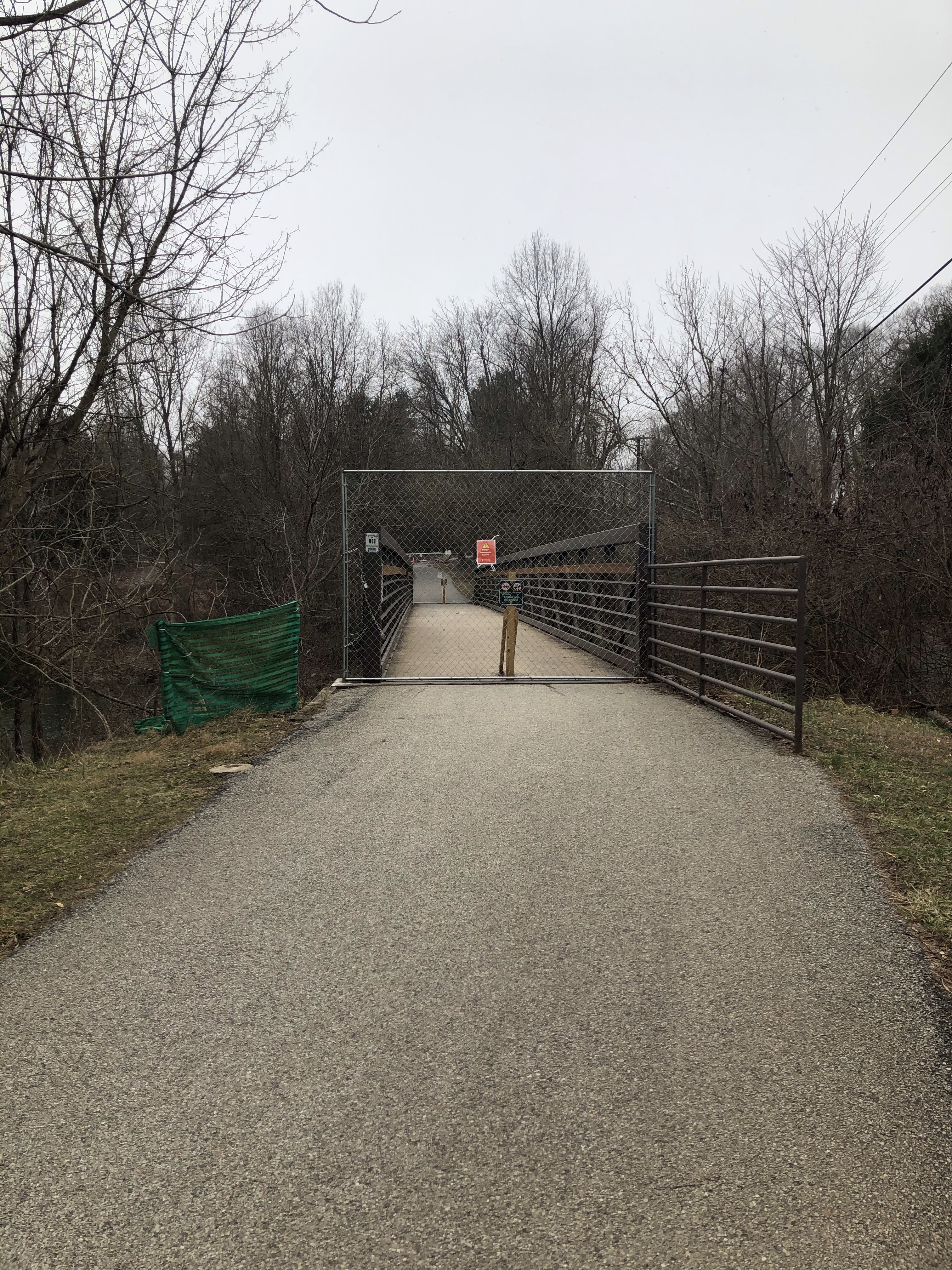
At 4.7 miles while we are crossing Catoctin Hollow Rd. and come across this wonderful closure. I am not sure how they think we will all the sudden disappear….
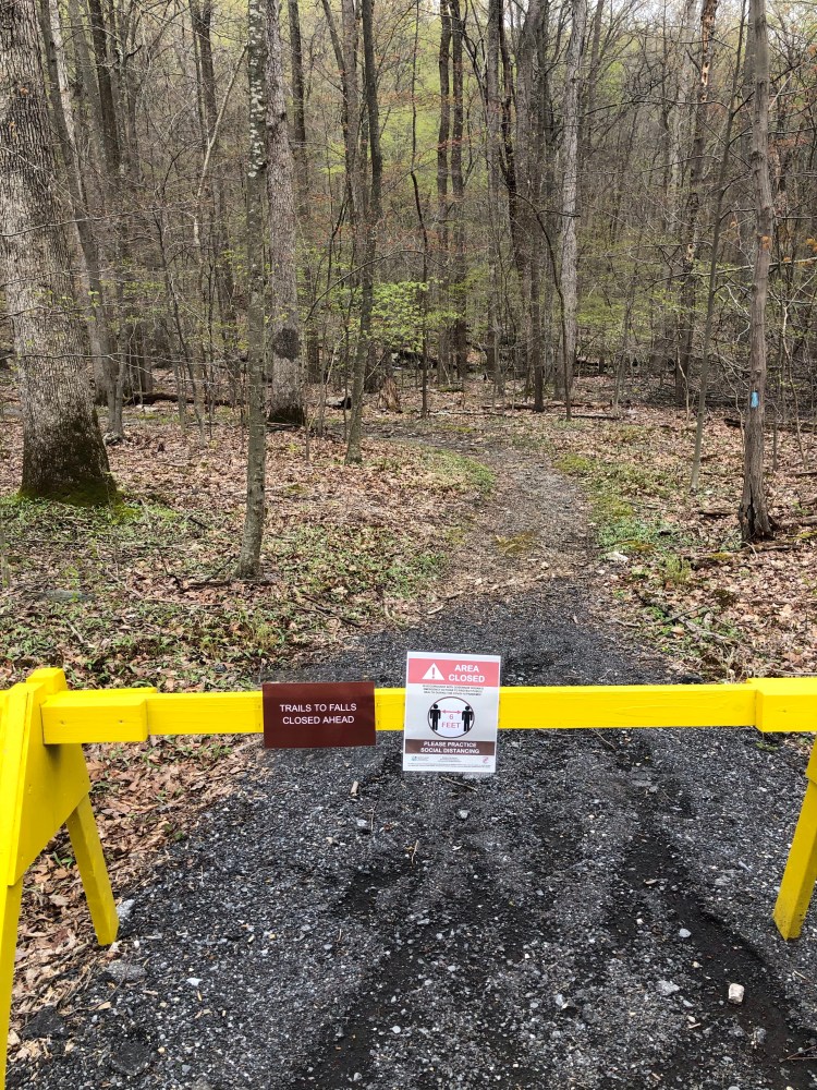
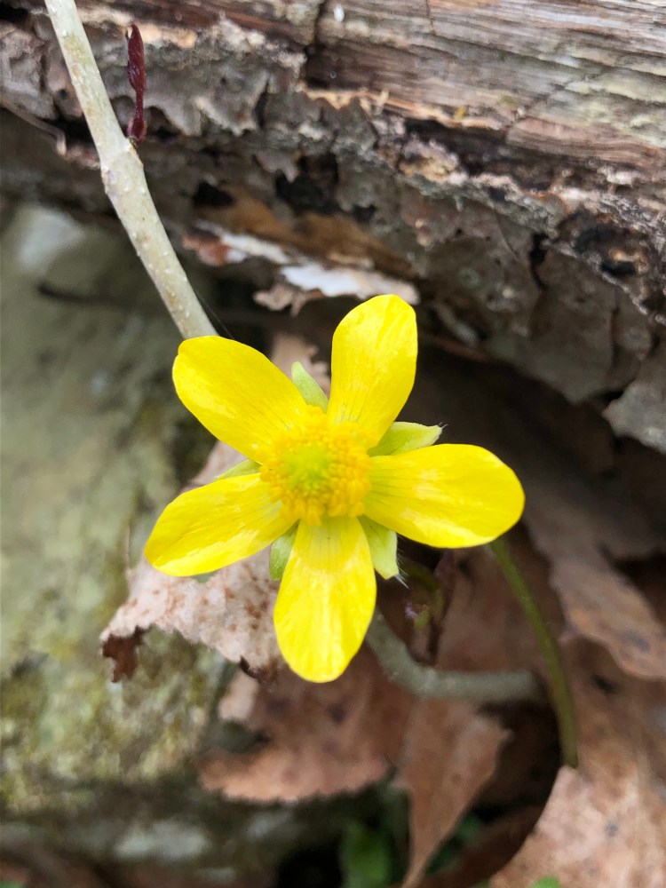
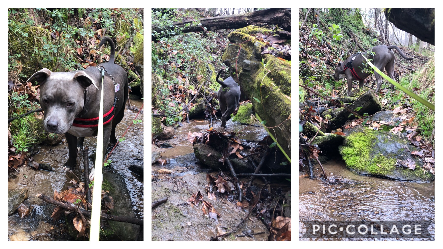
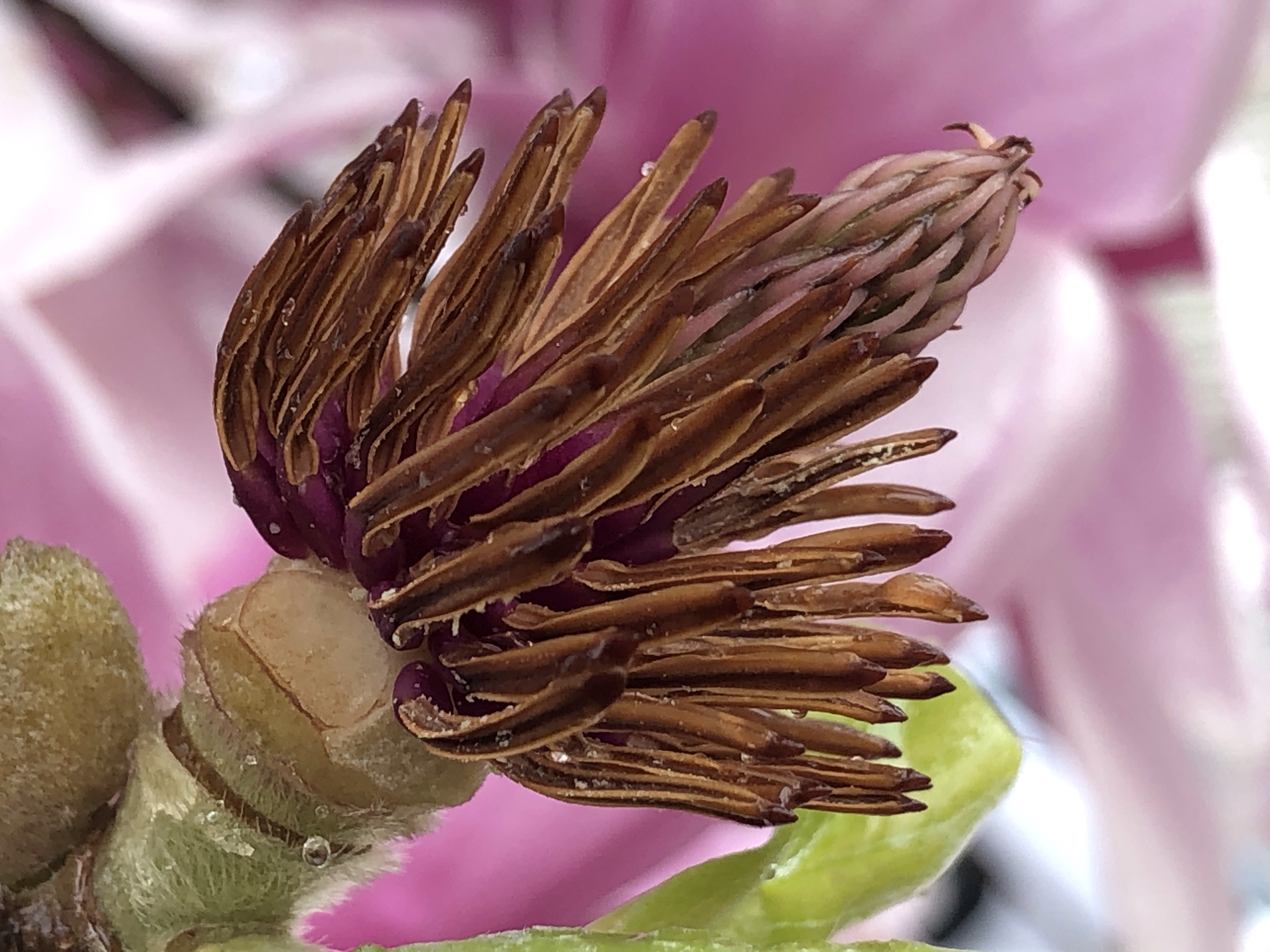
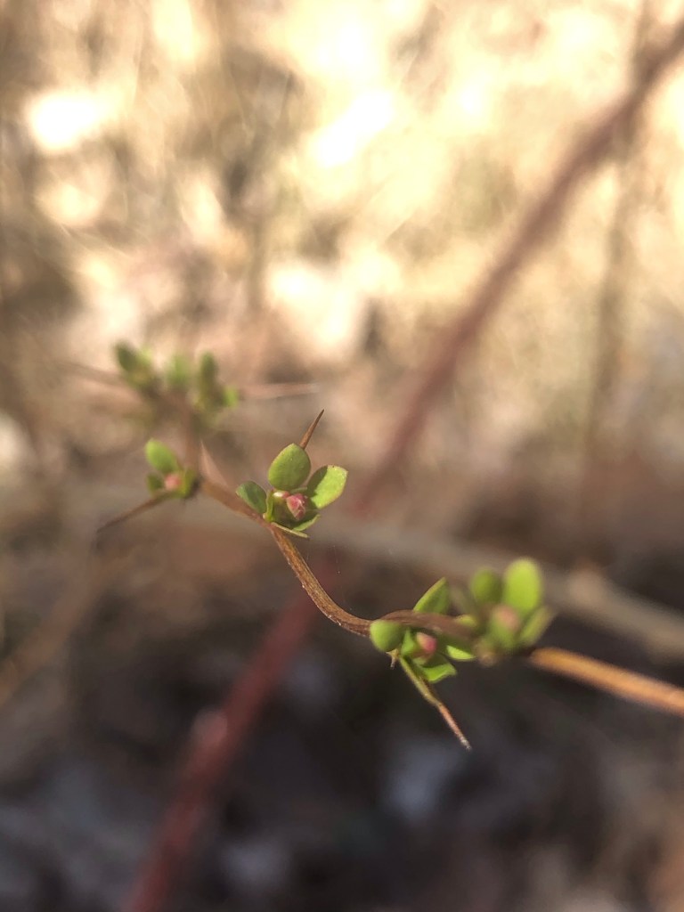
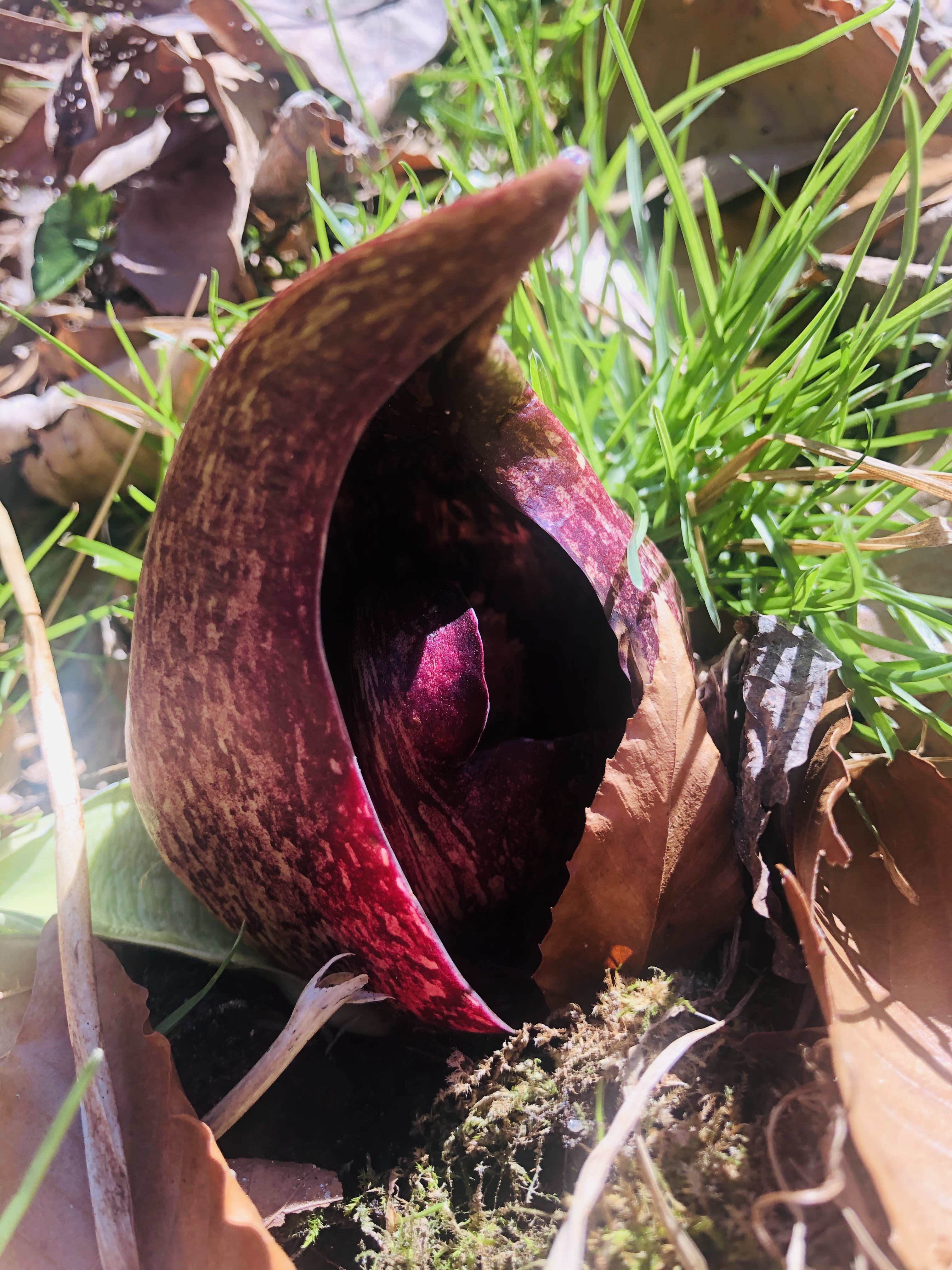
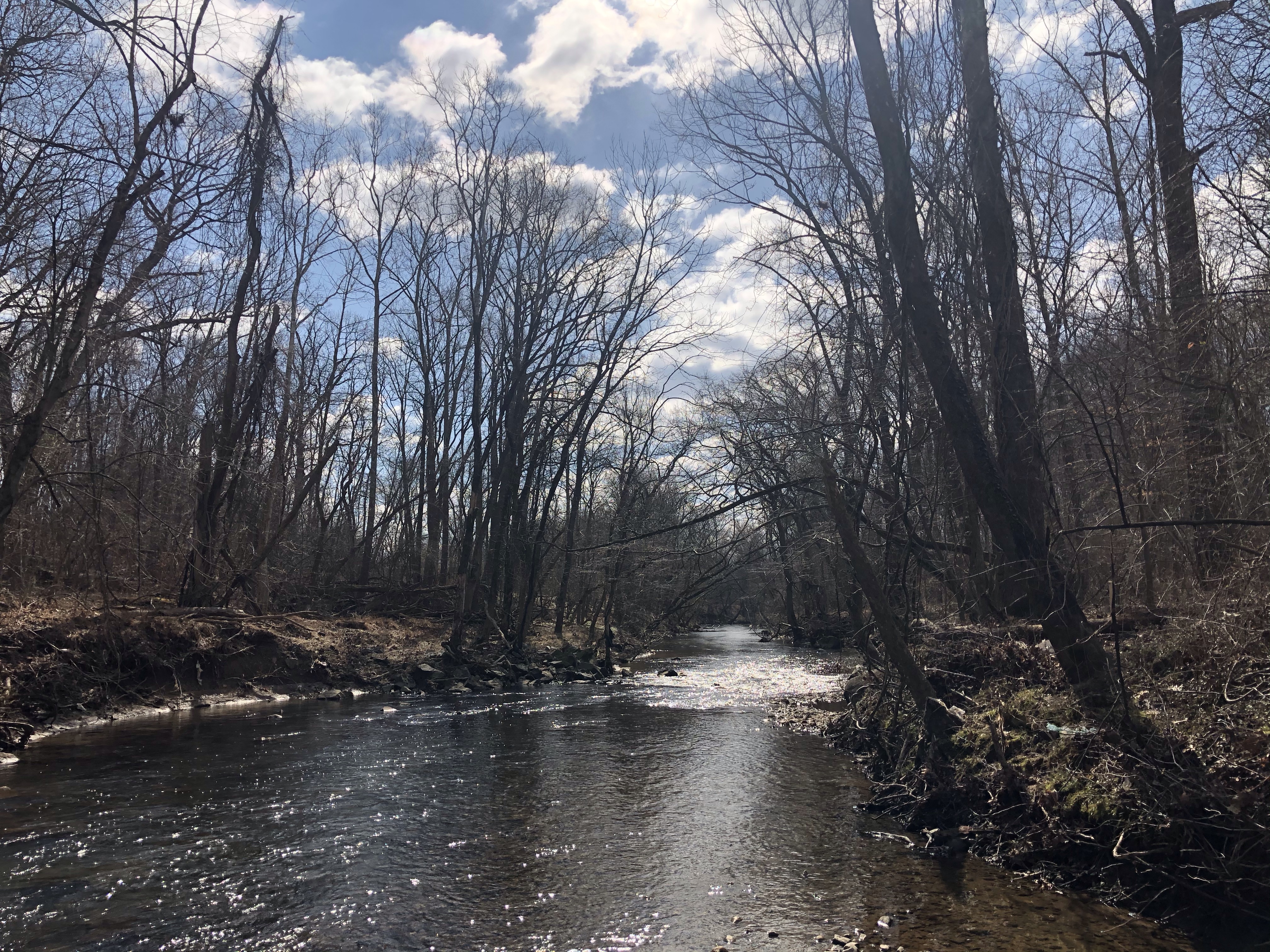
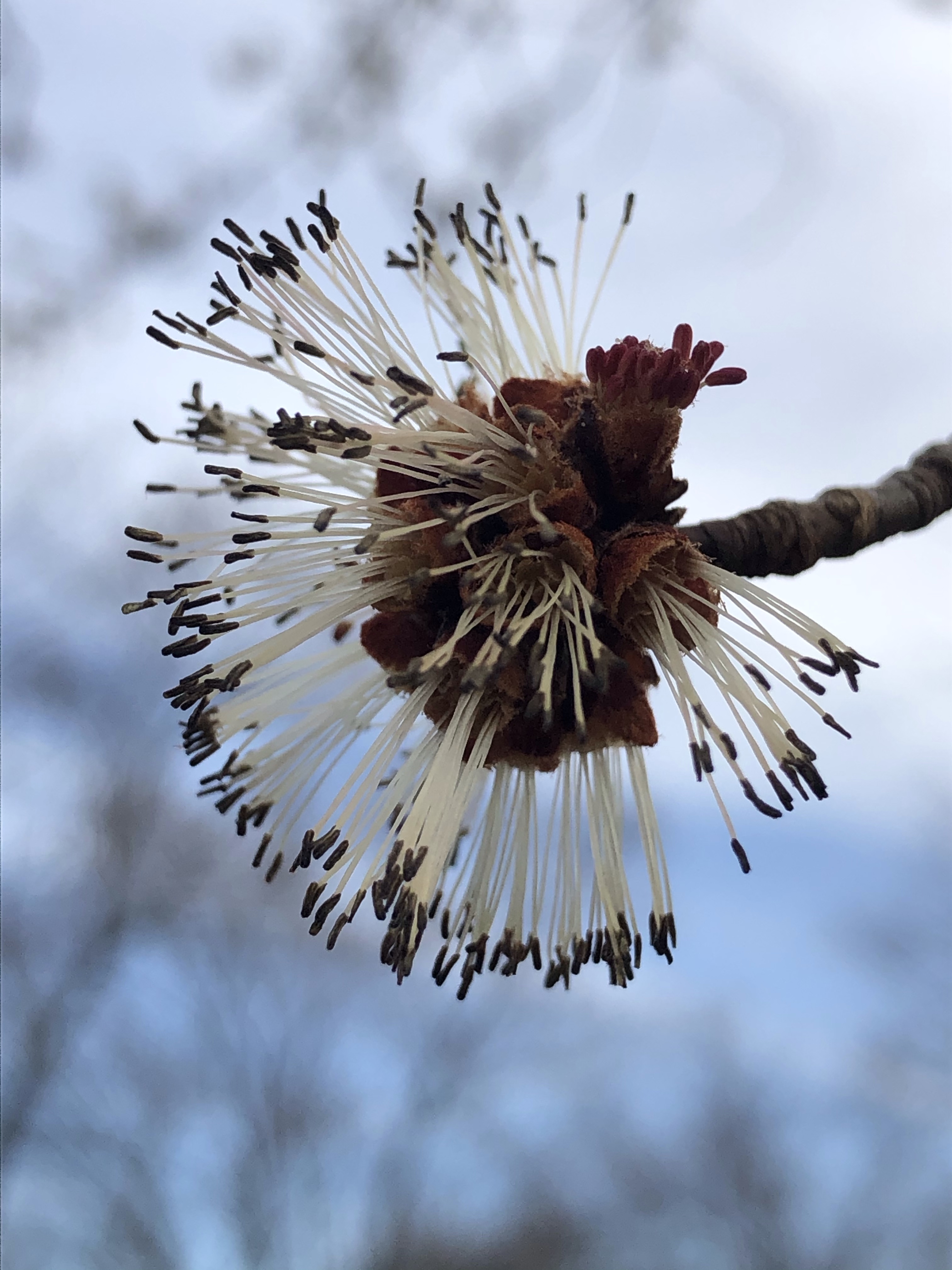
Since we don’t have wings nor I will backtrack, we proceed straight ahead. Shortly after we are crossing over a stream then while walking uphill I find some interesting looking plants. It turns out they are emerging Squawroots.
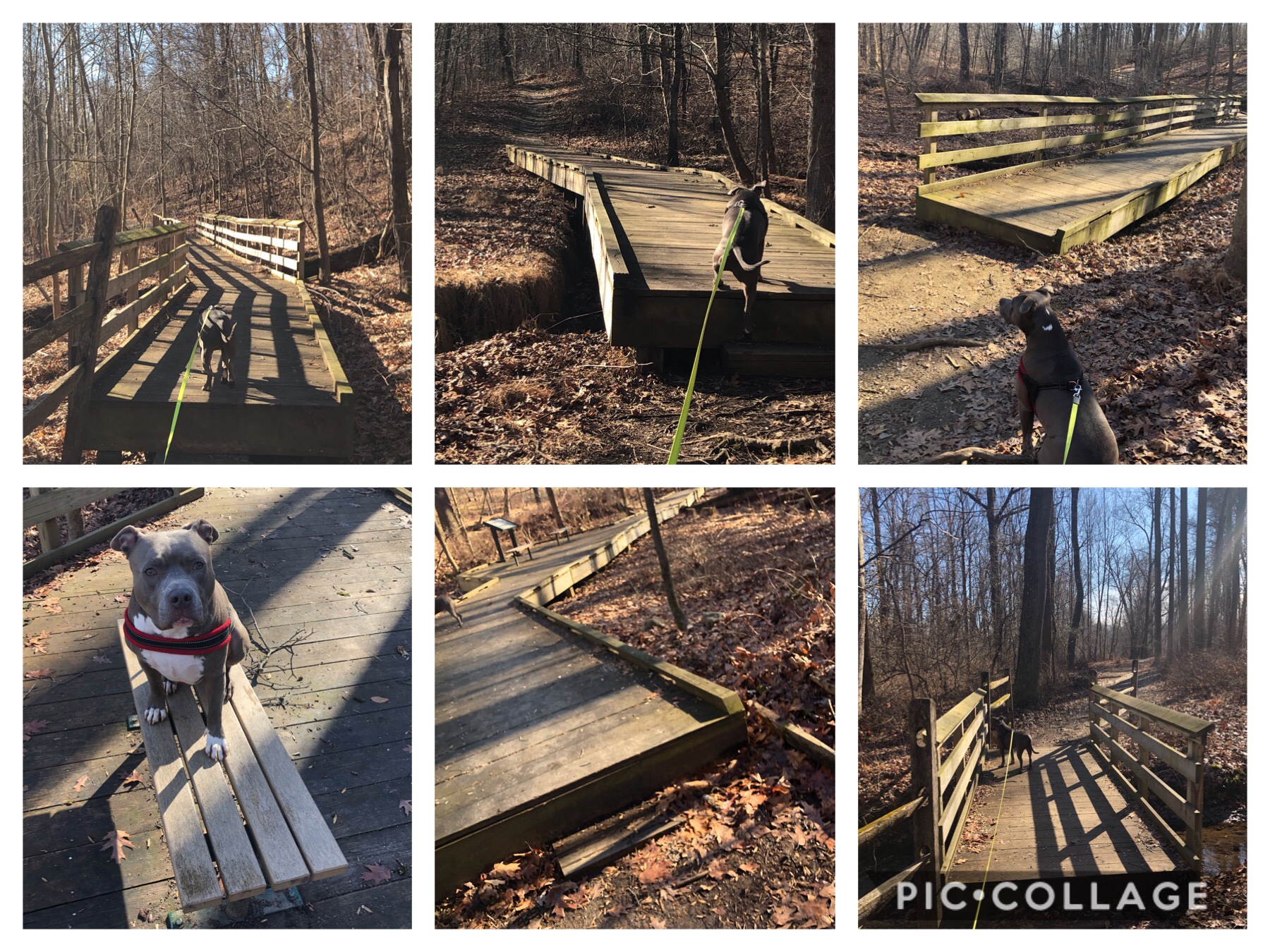
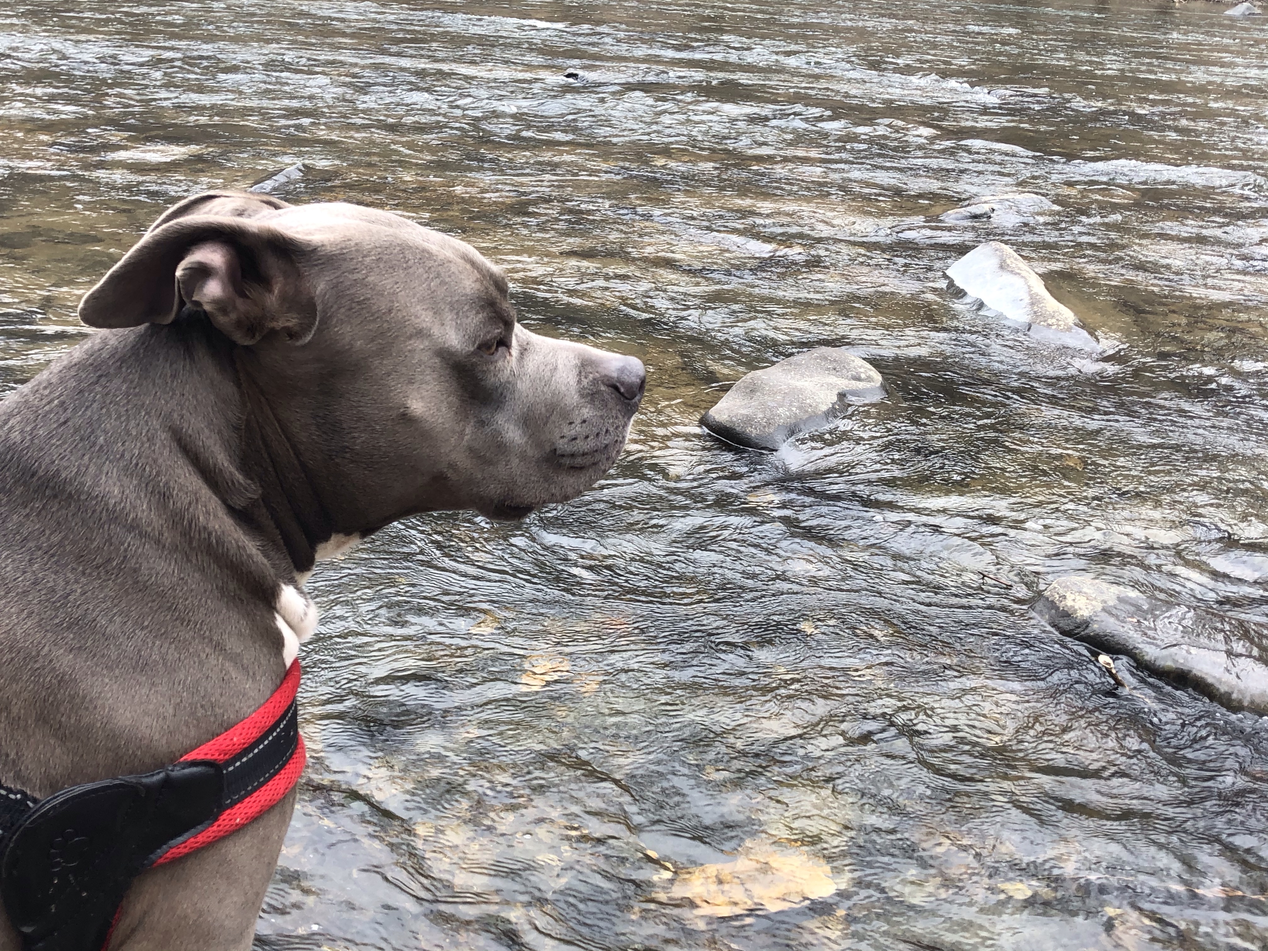
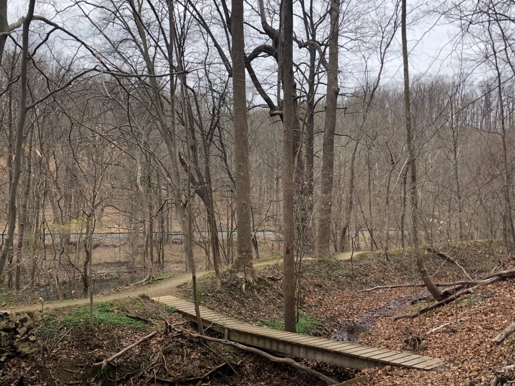
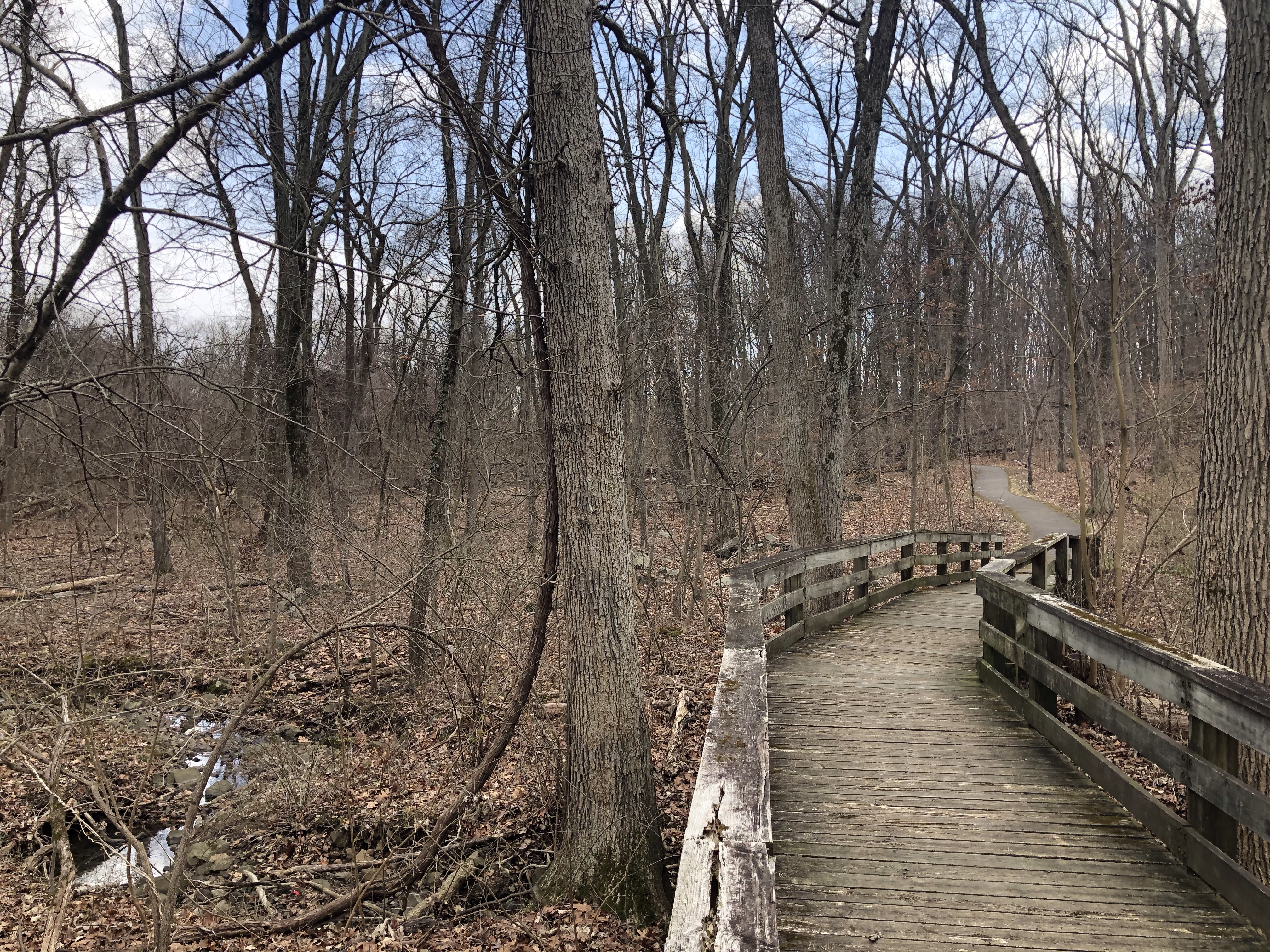
Several small wooden platforms bridge us over tiny creeks, sort of washing through the trail. Mag successfully finds the perfect stick to chew on while I take some pictures.
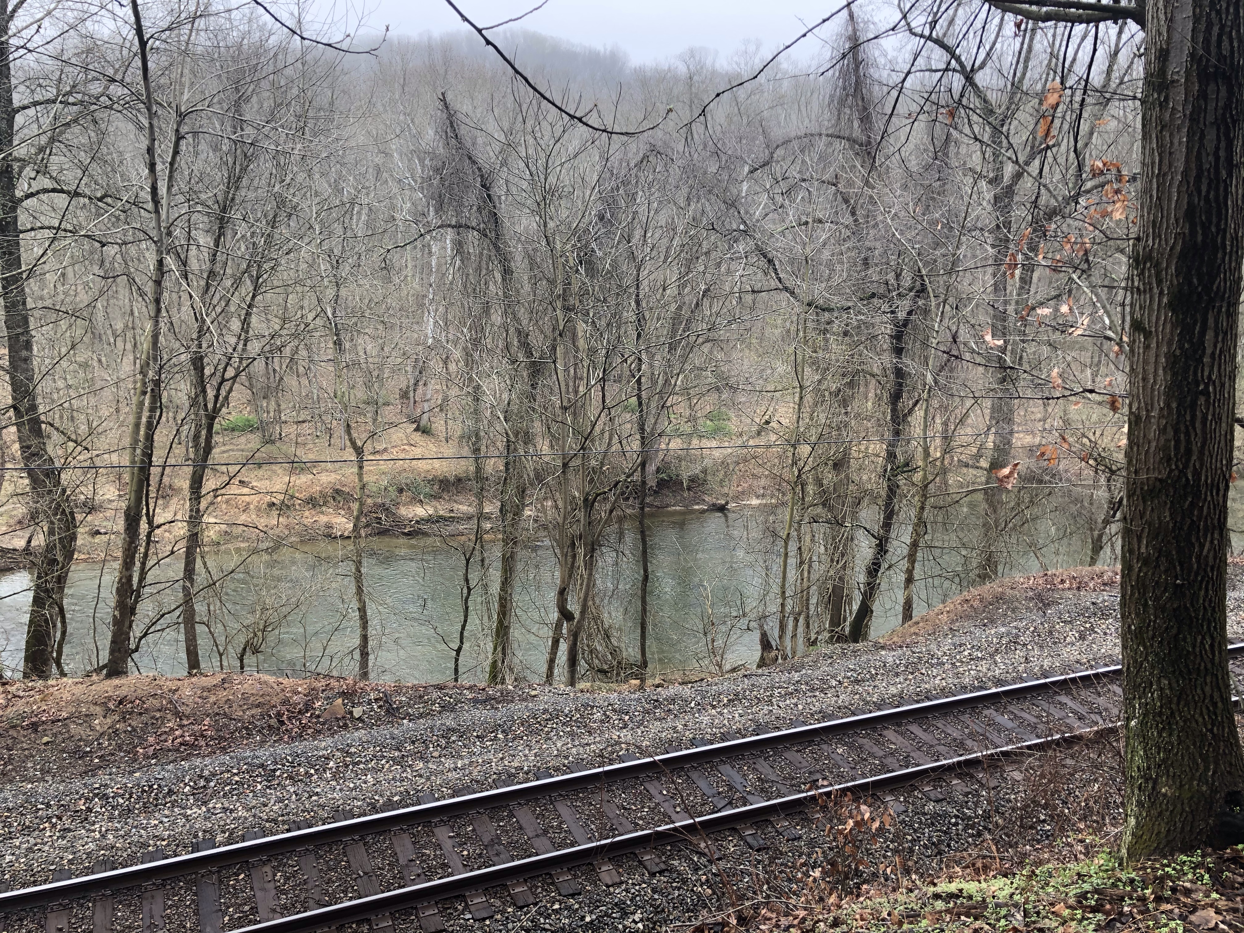
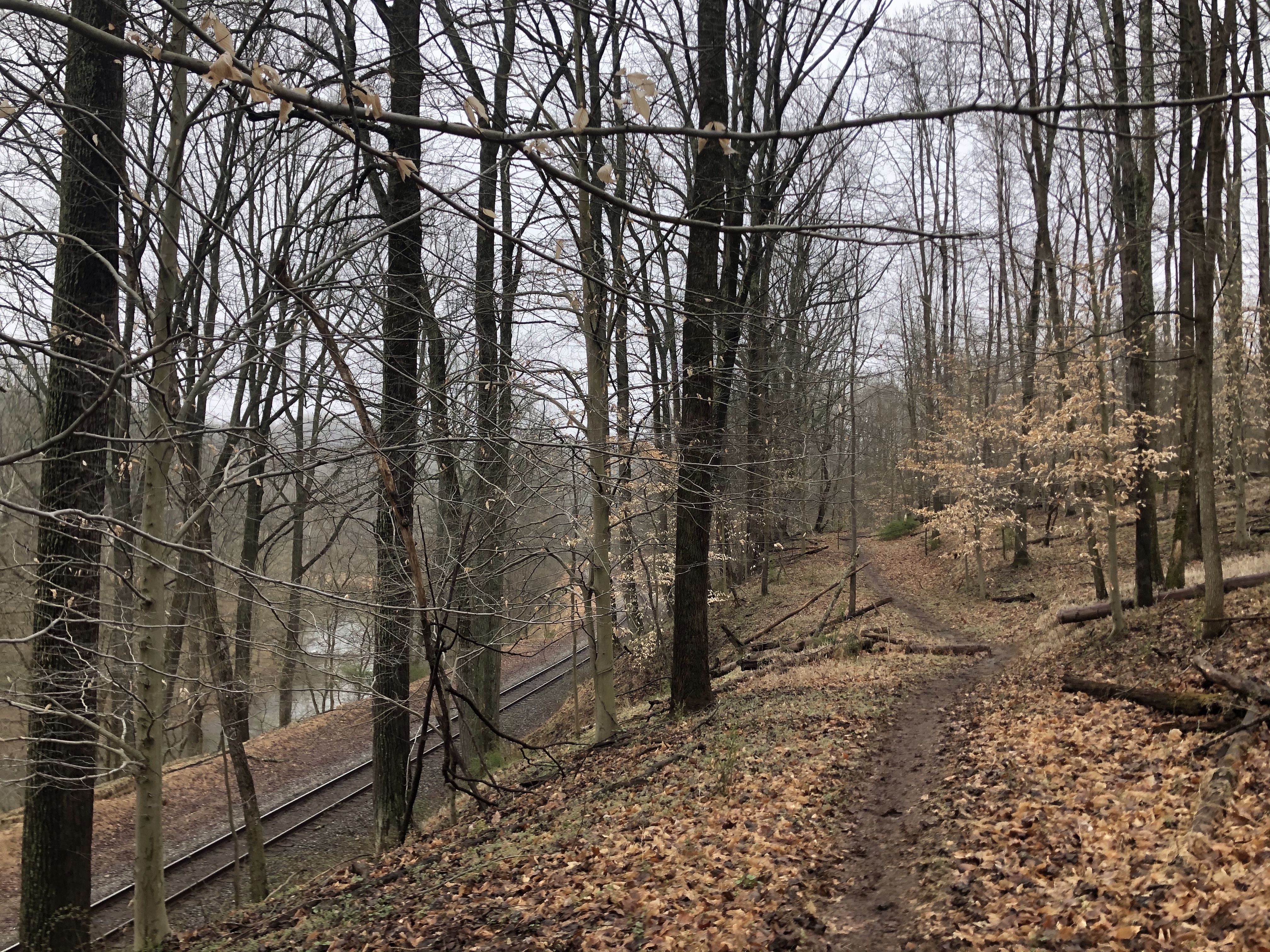
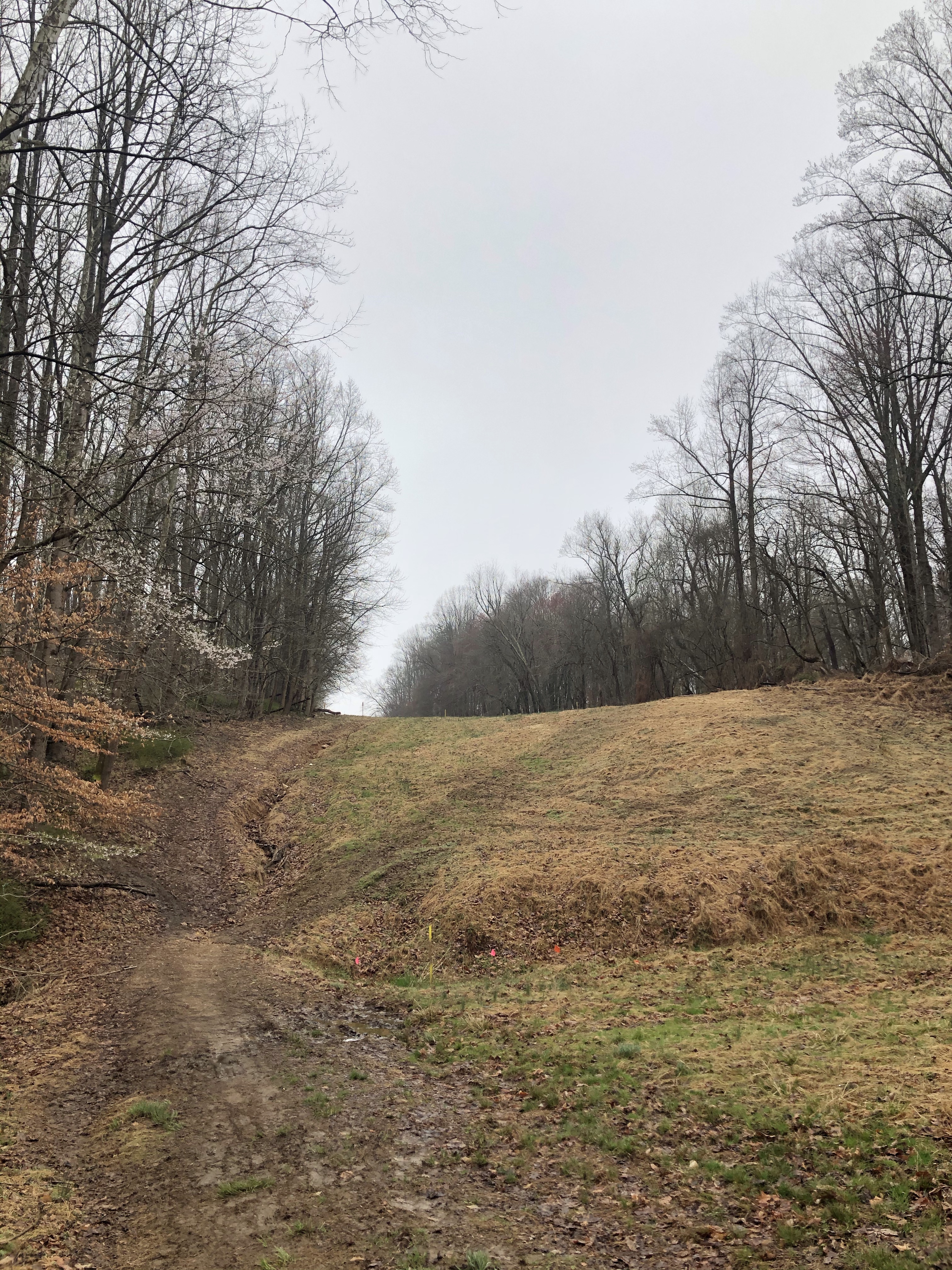
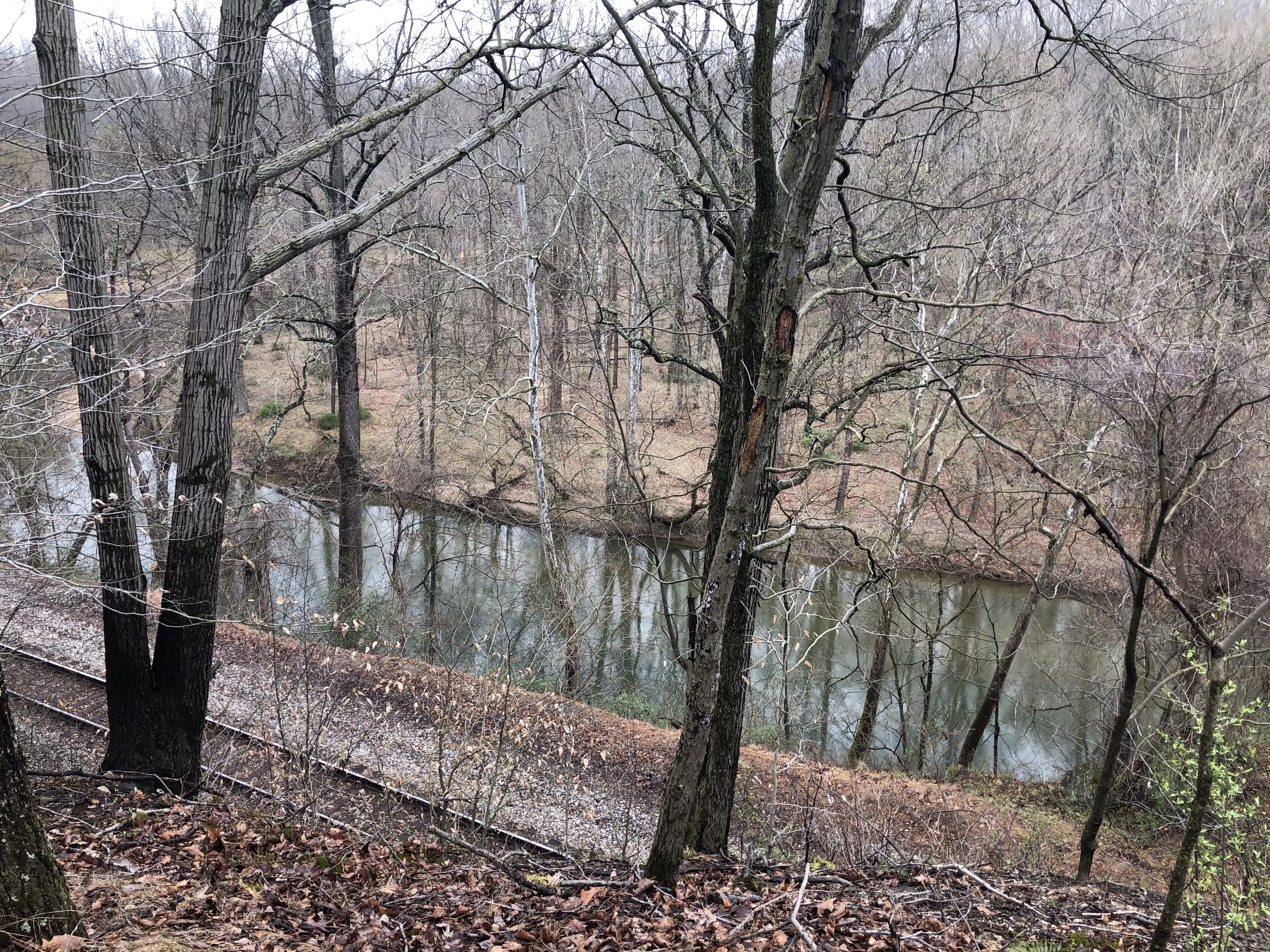
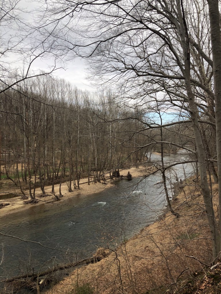
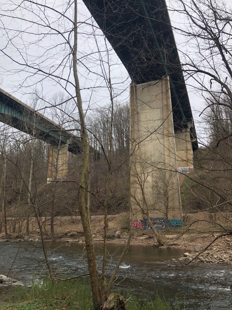
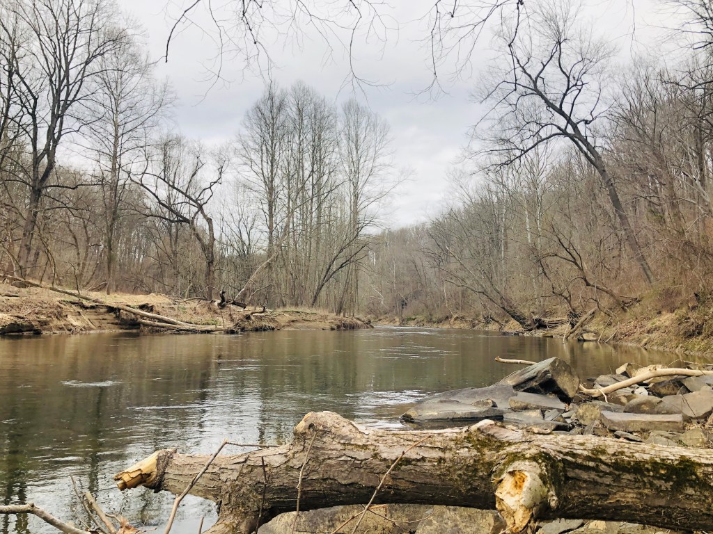
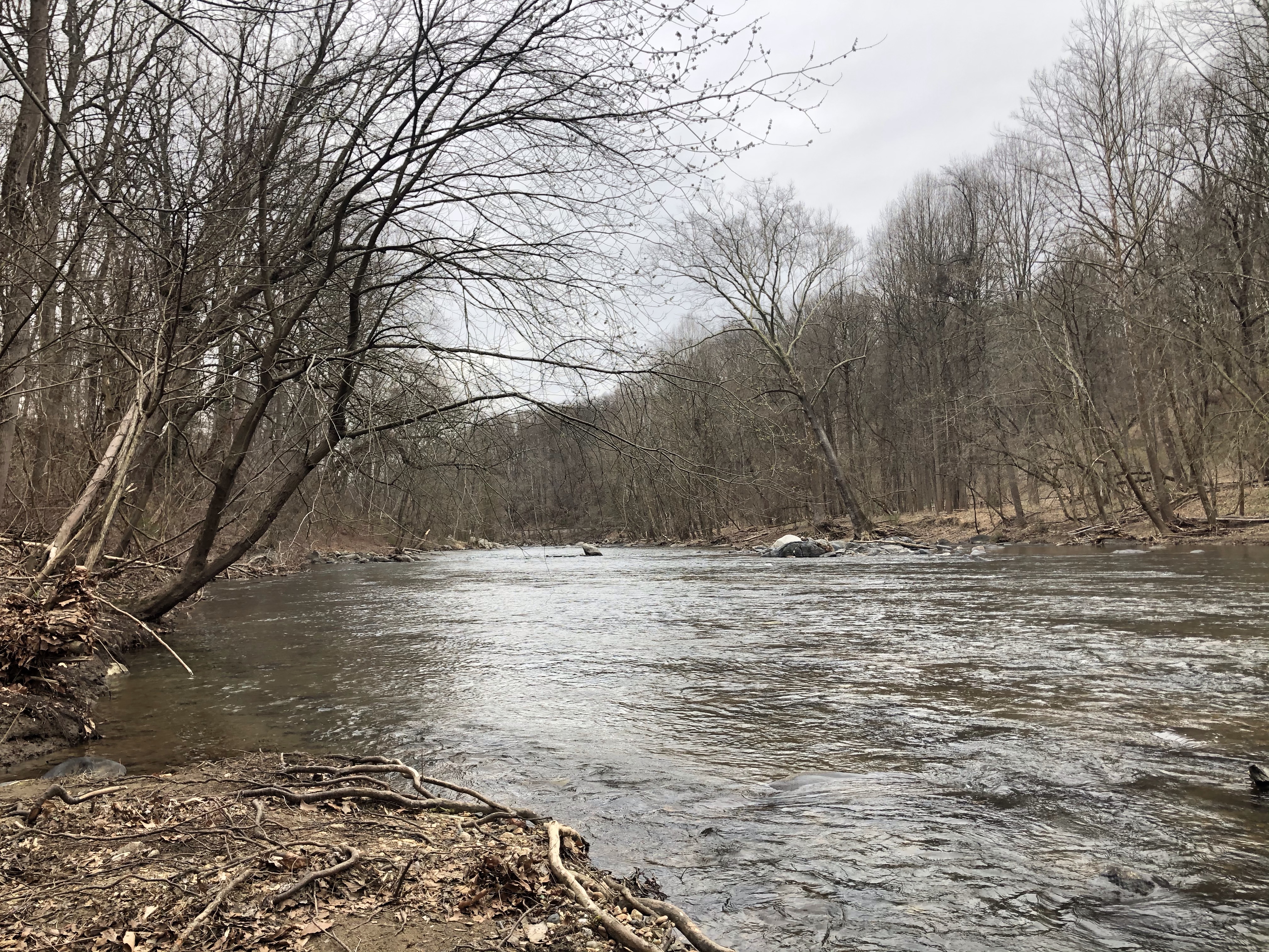
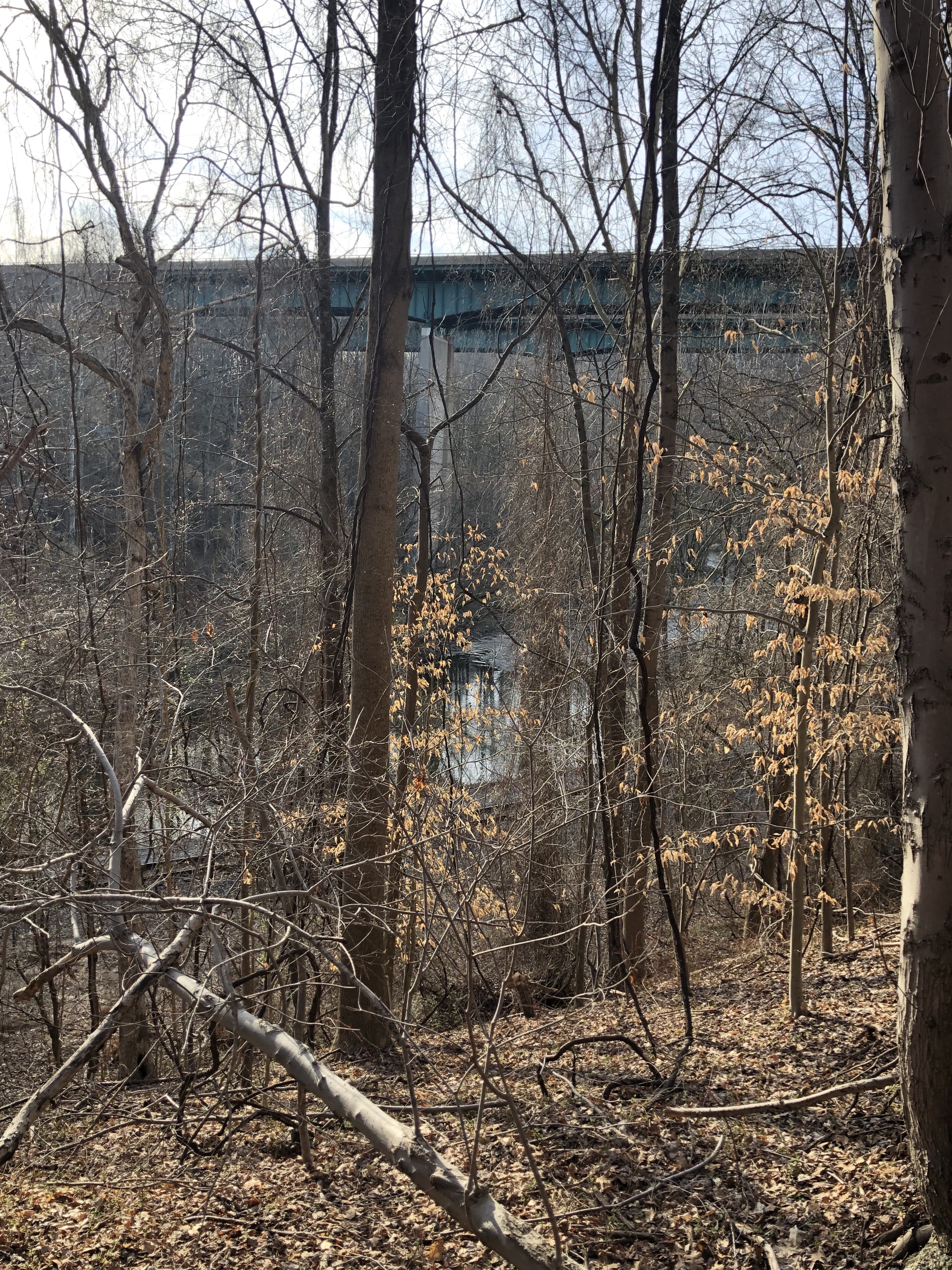
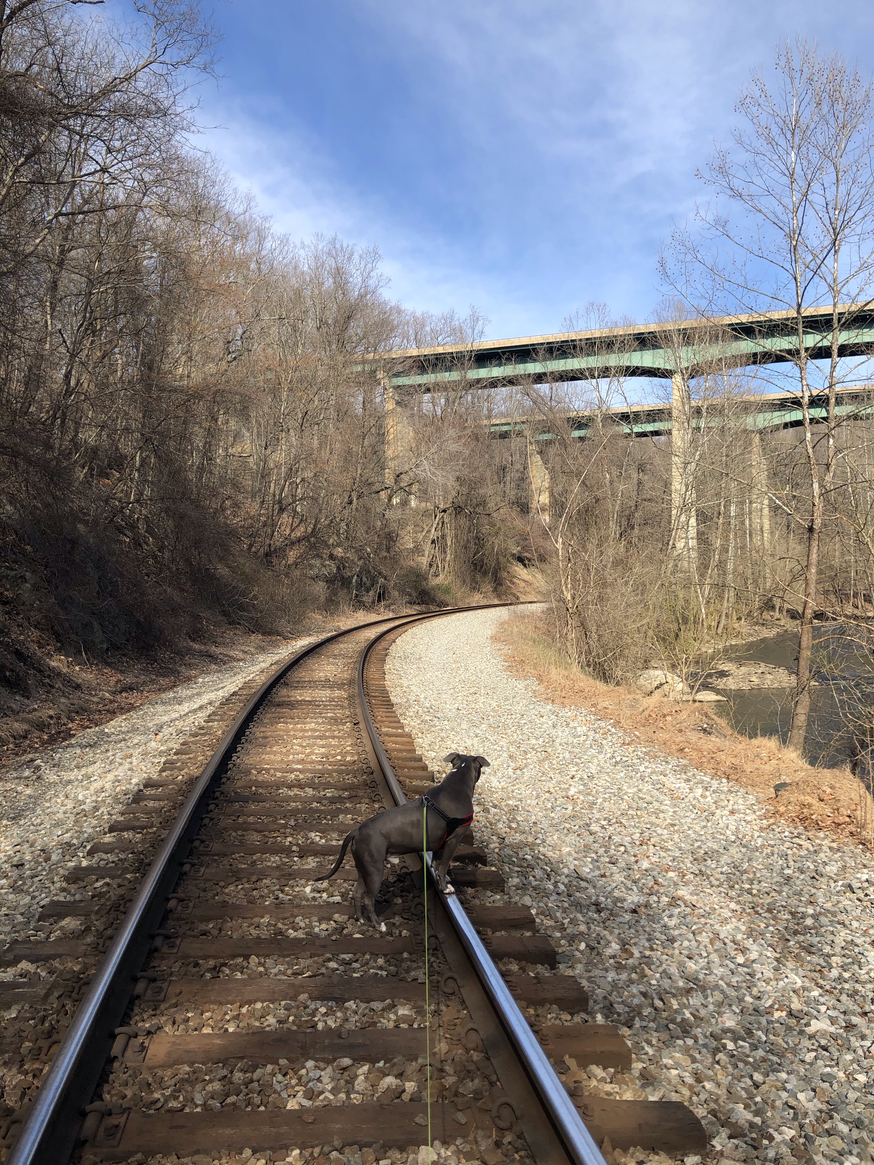
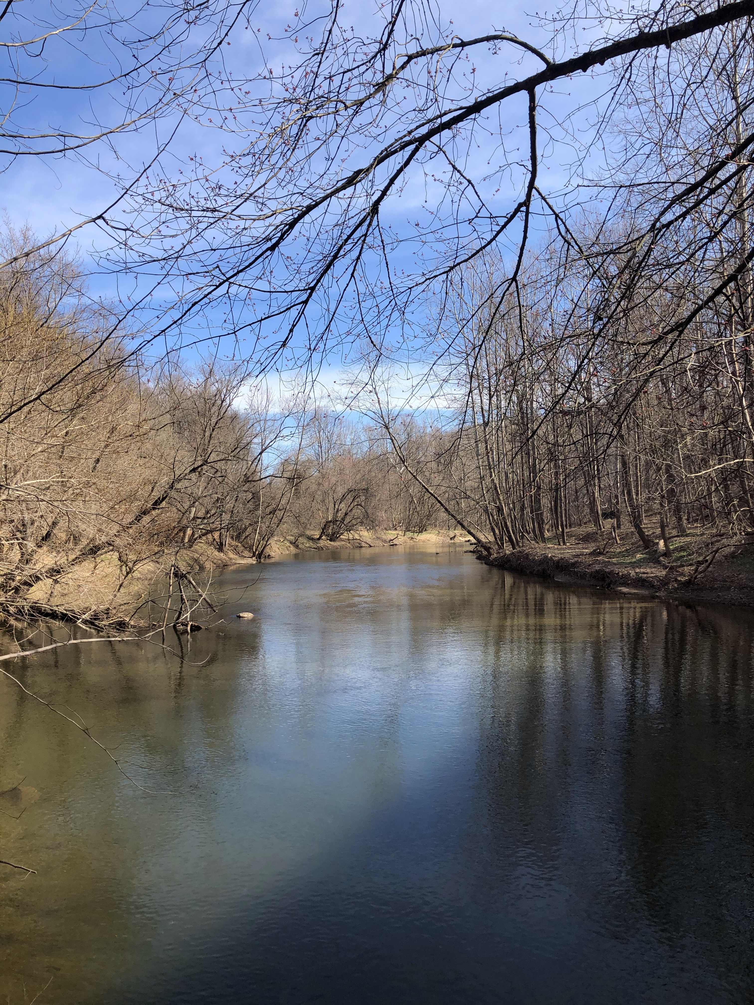
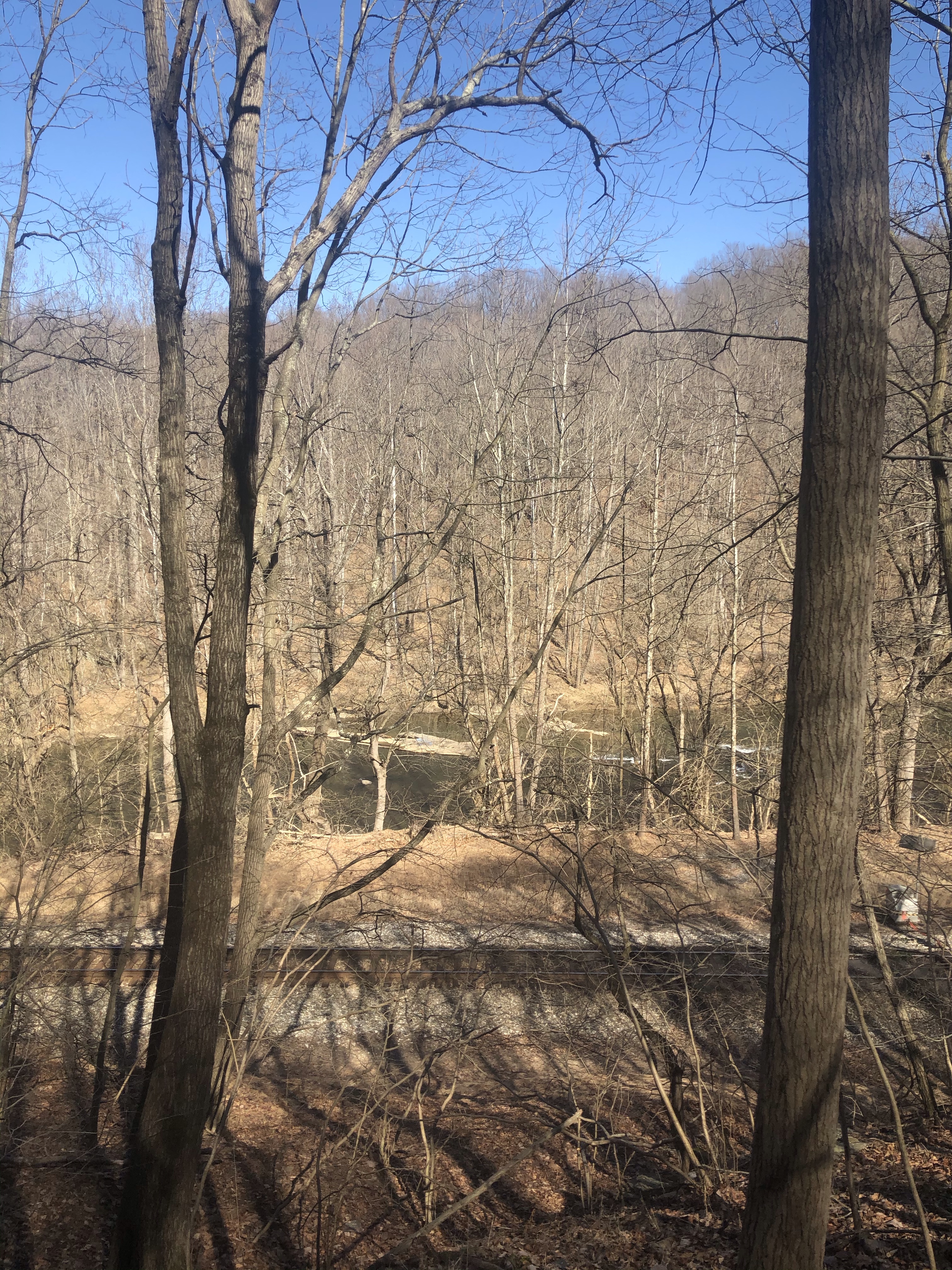
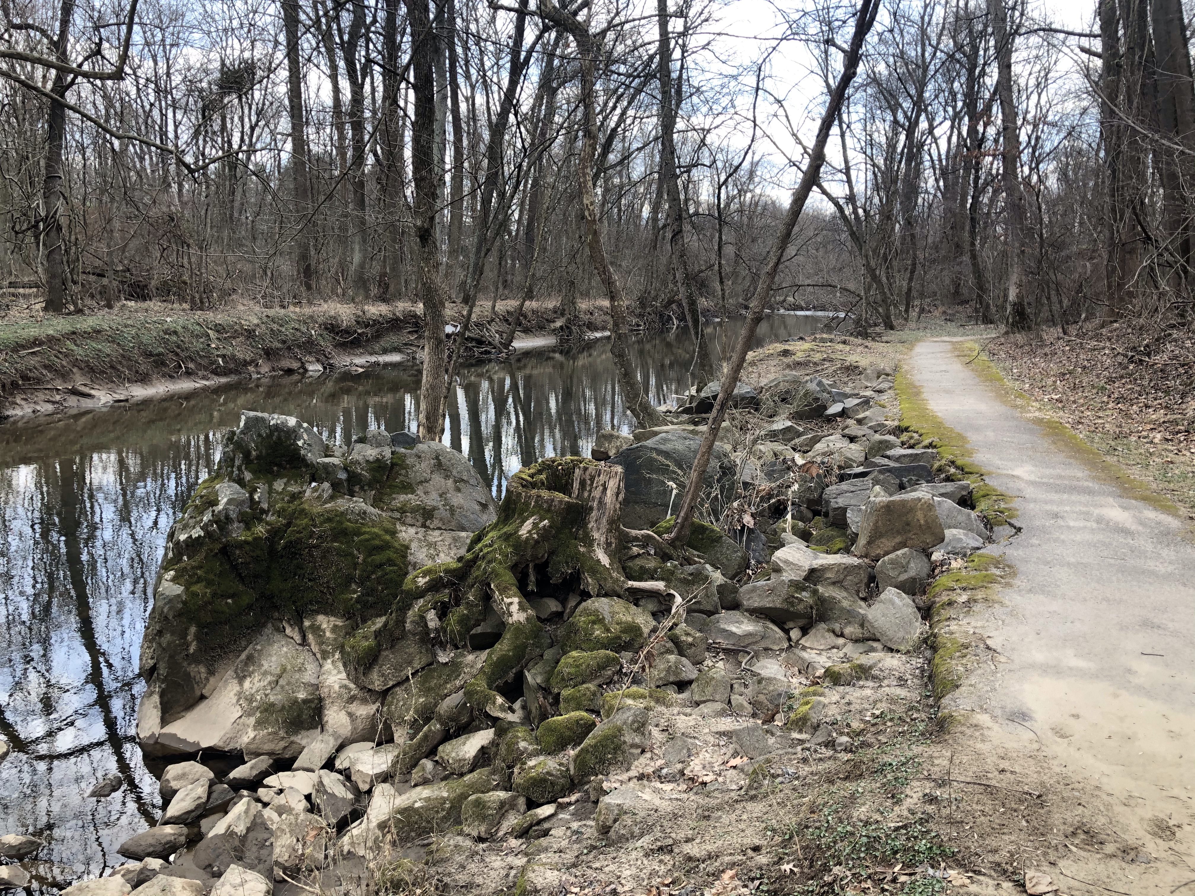
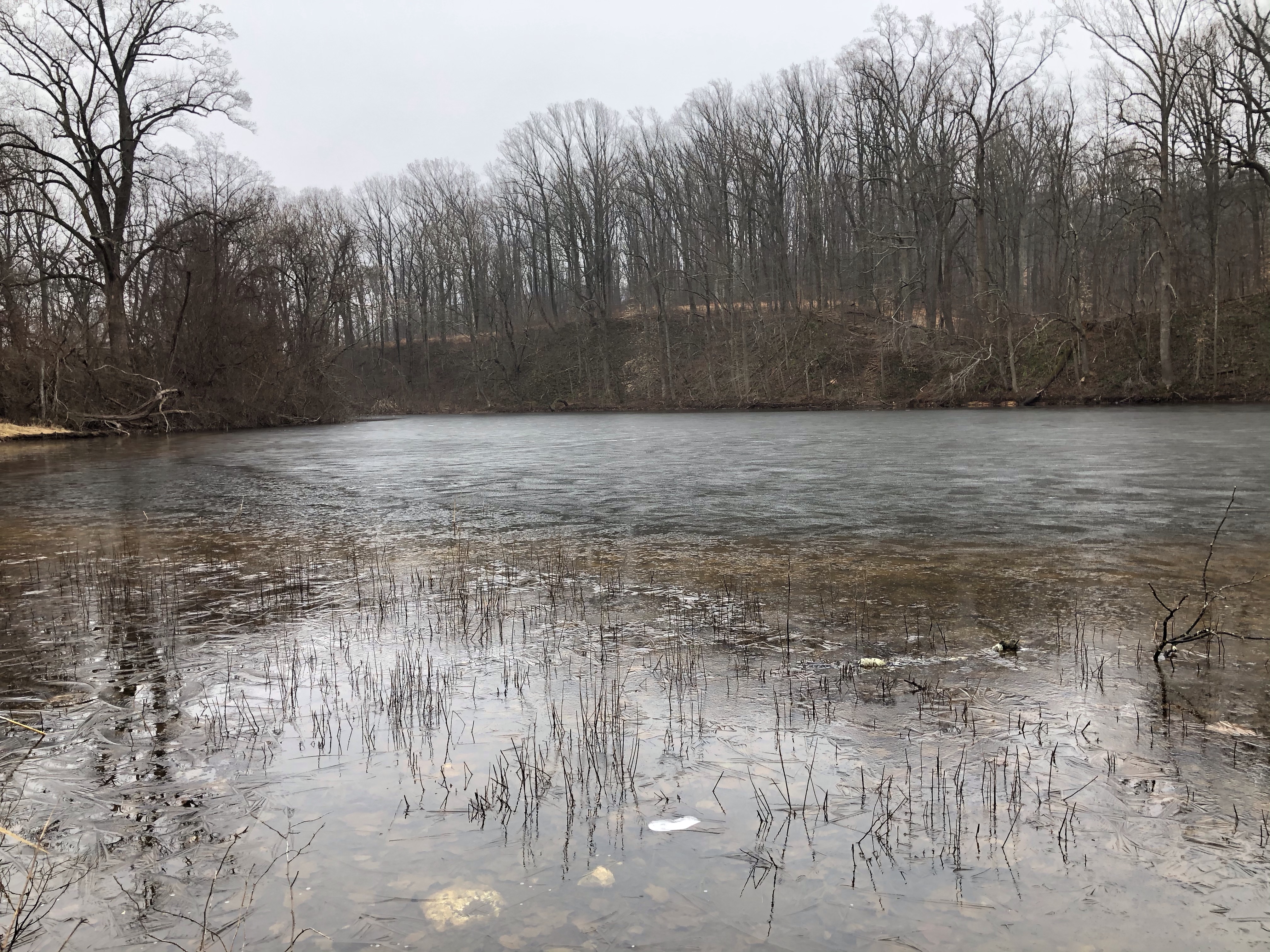
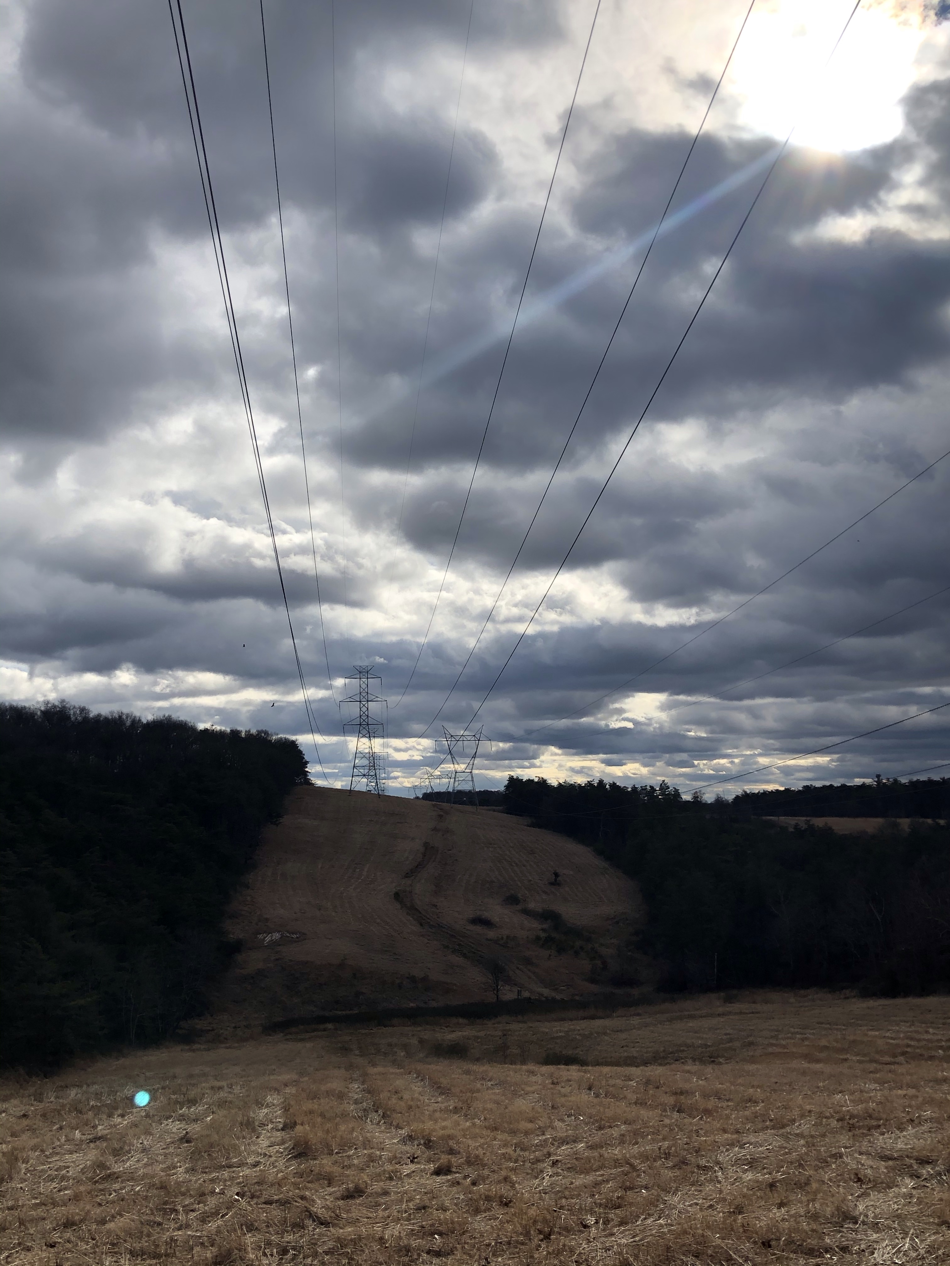
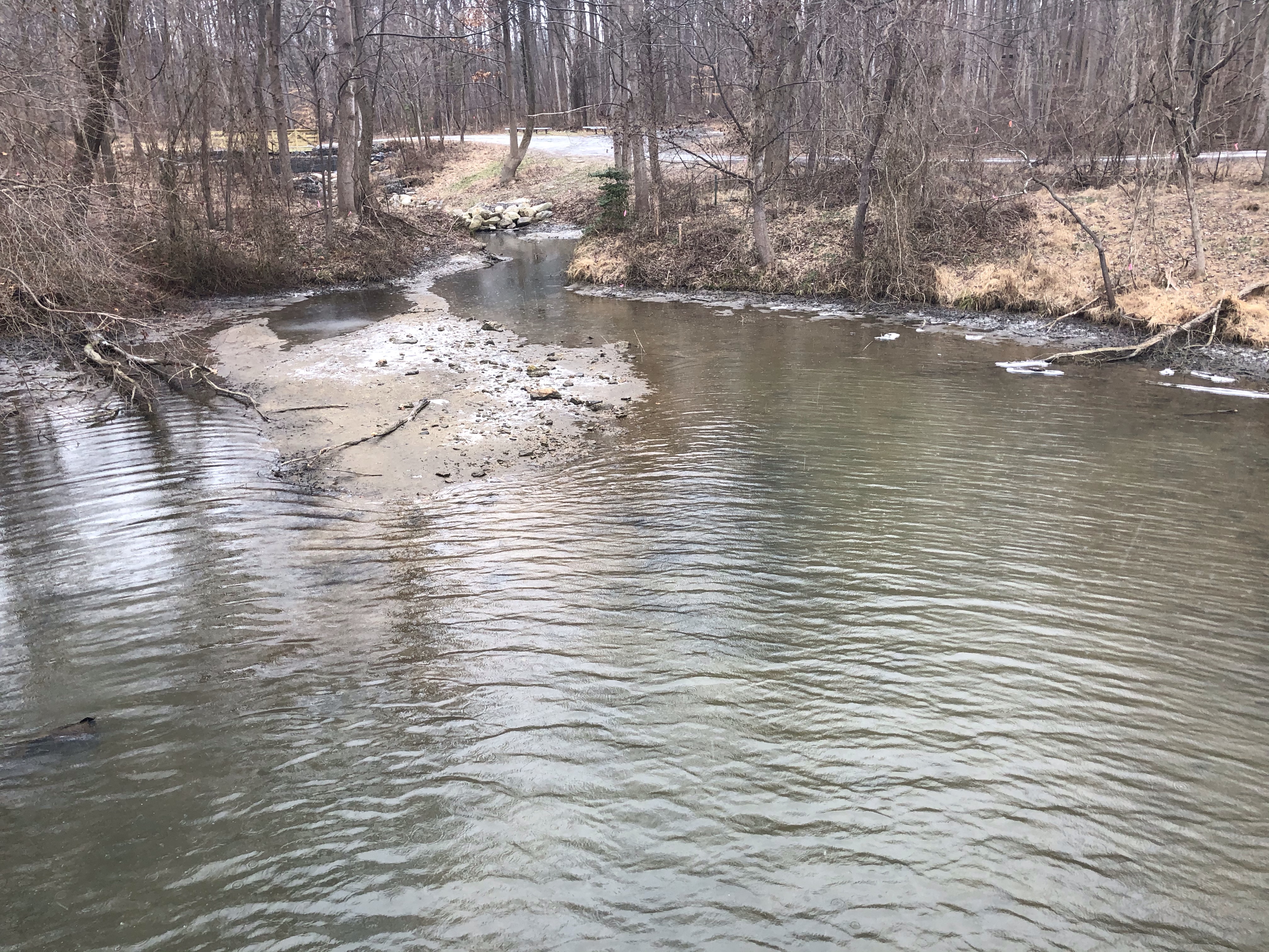
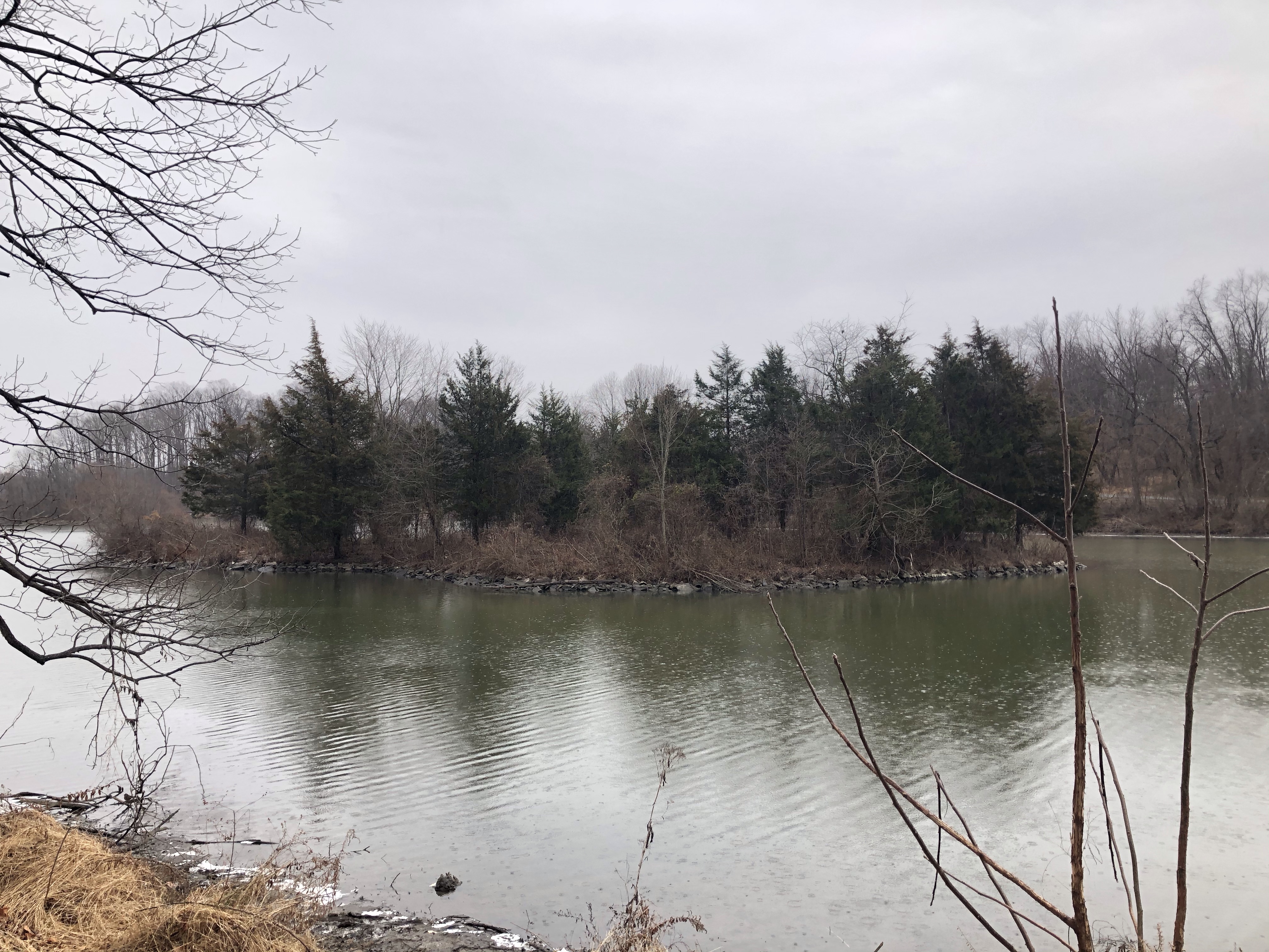
Our next stop is the power-line trail again but this time it’s pretty dramatic, snaking downhill towards Catoctin Hollow Rd. Hunting Creek Lake’s Southern tip is just around the corner from here on our left.
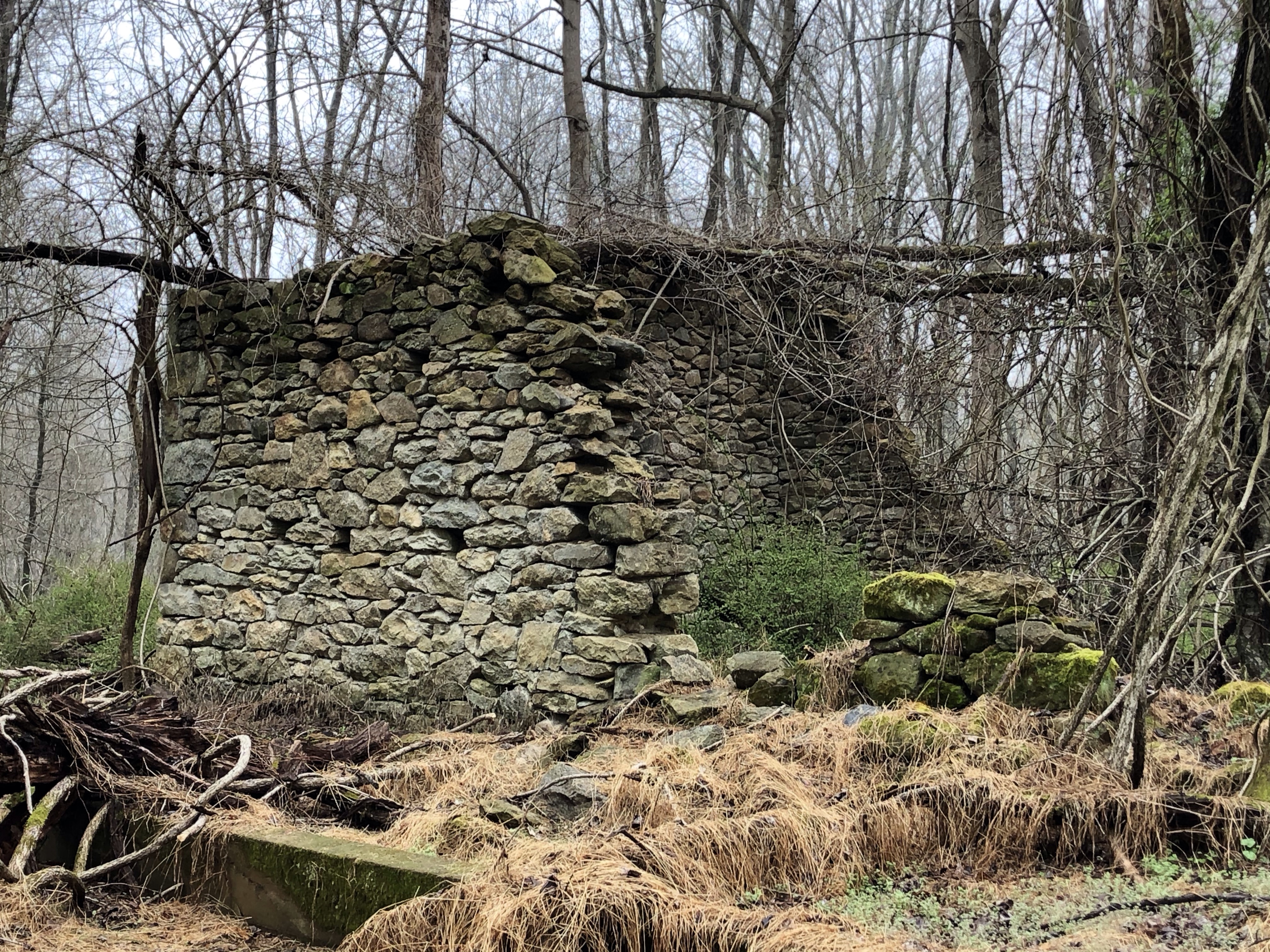
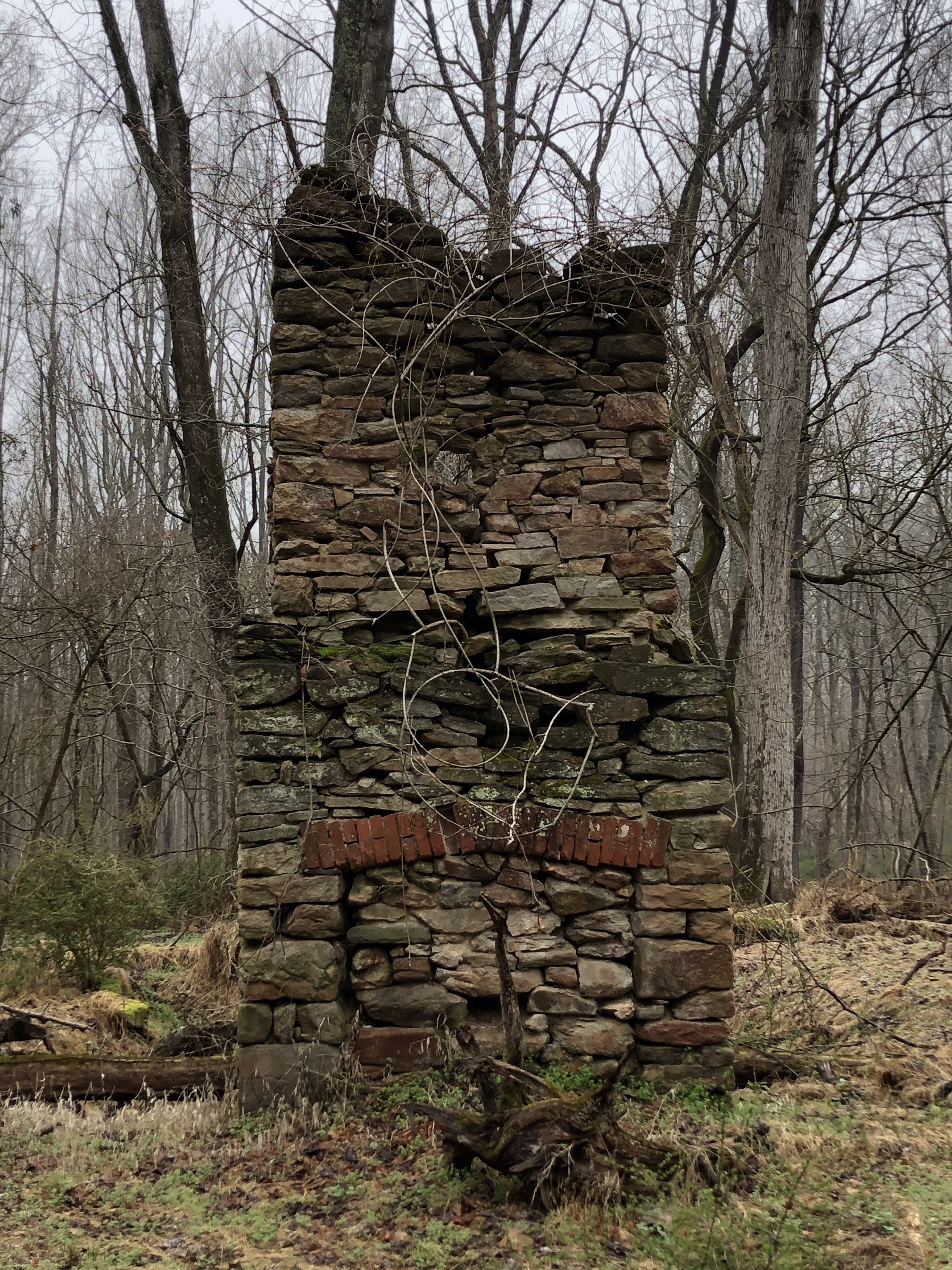
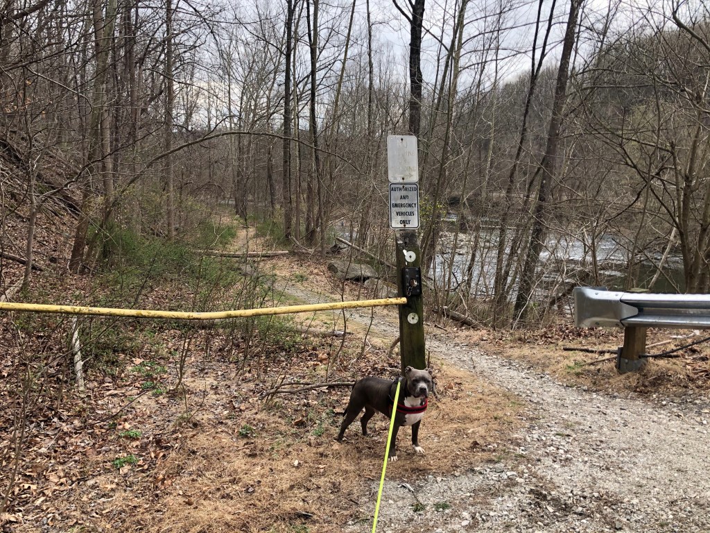
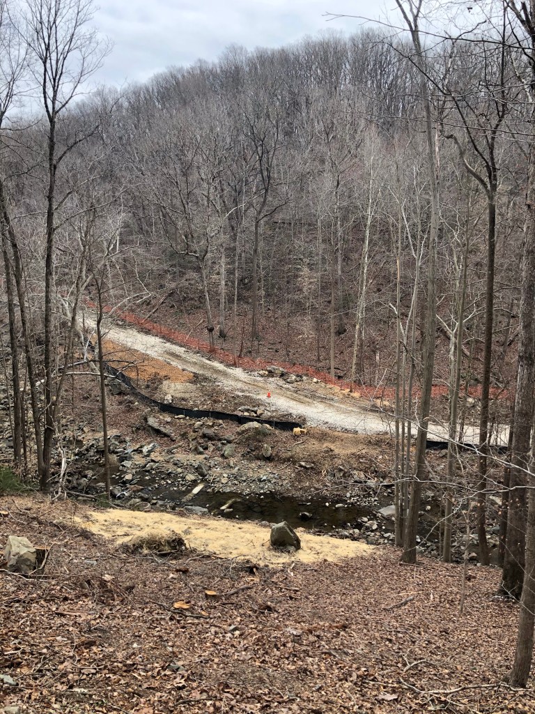
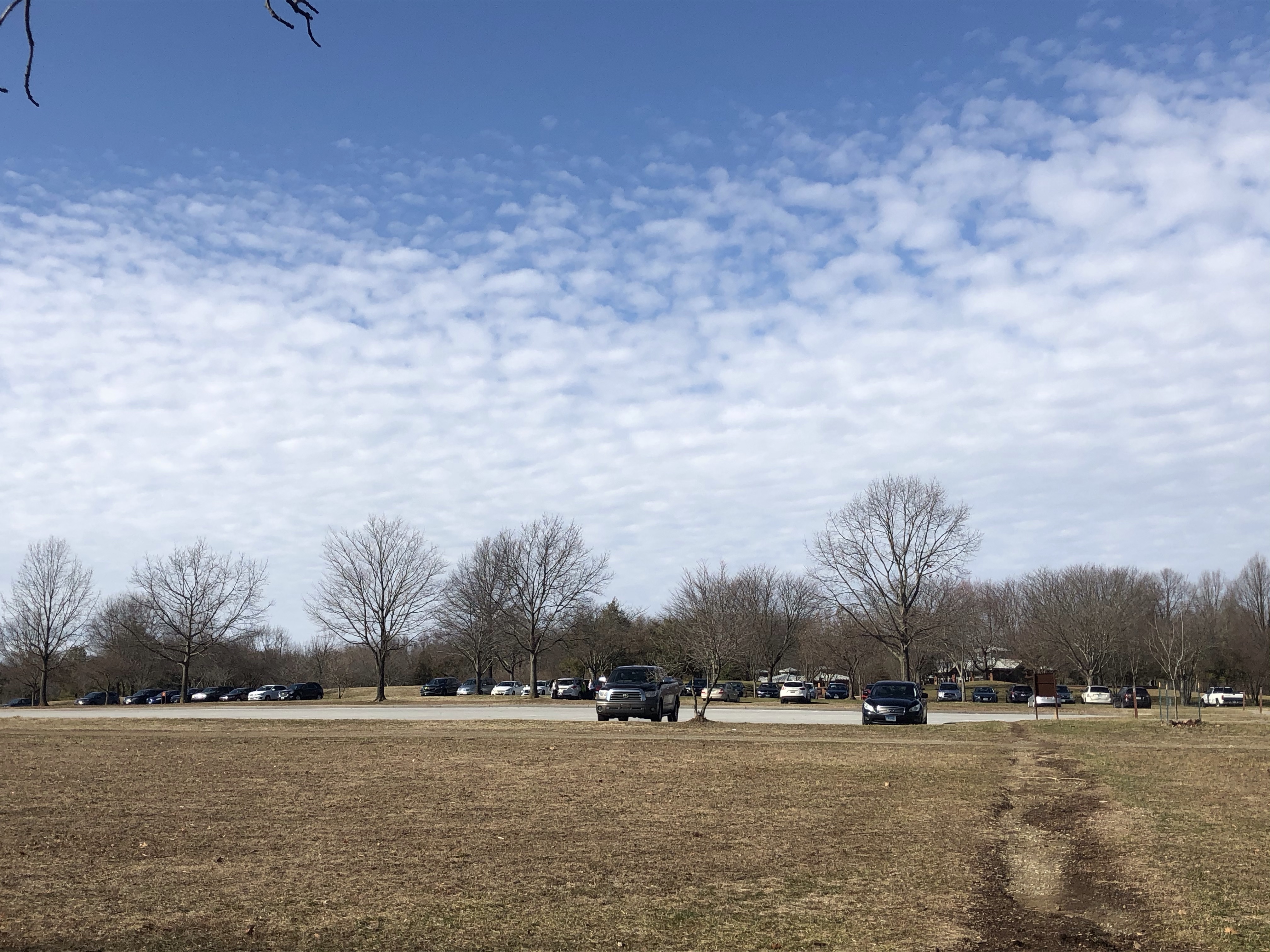
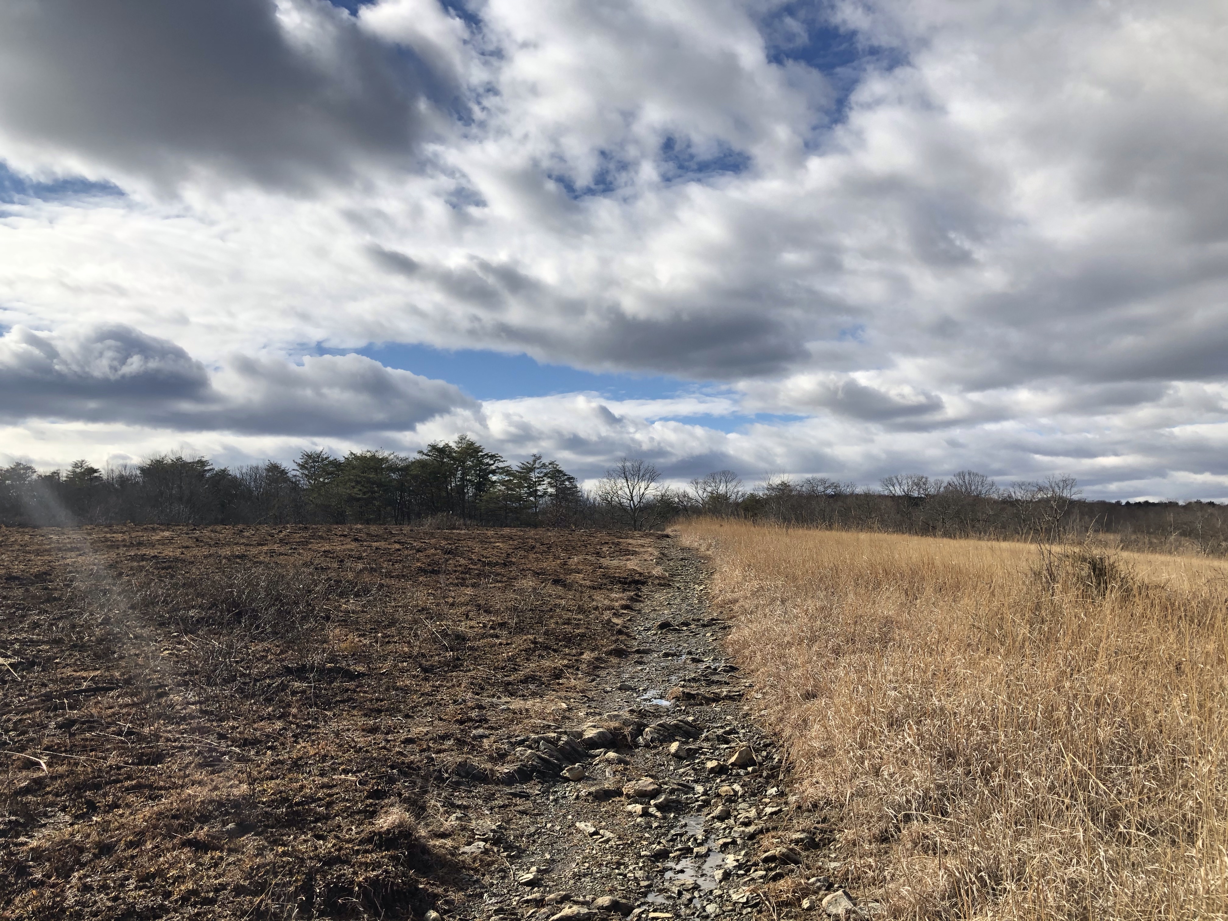
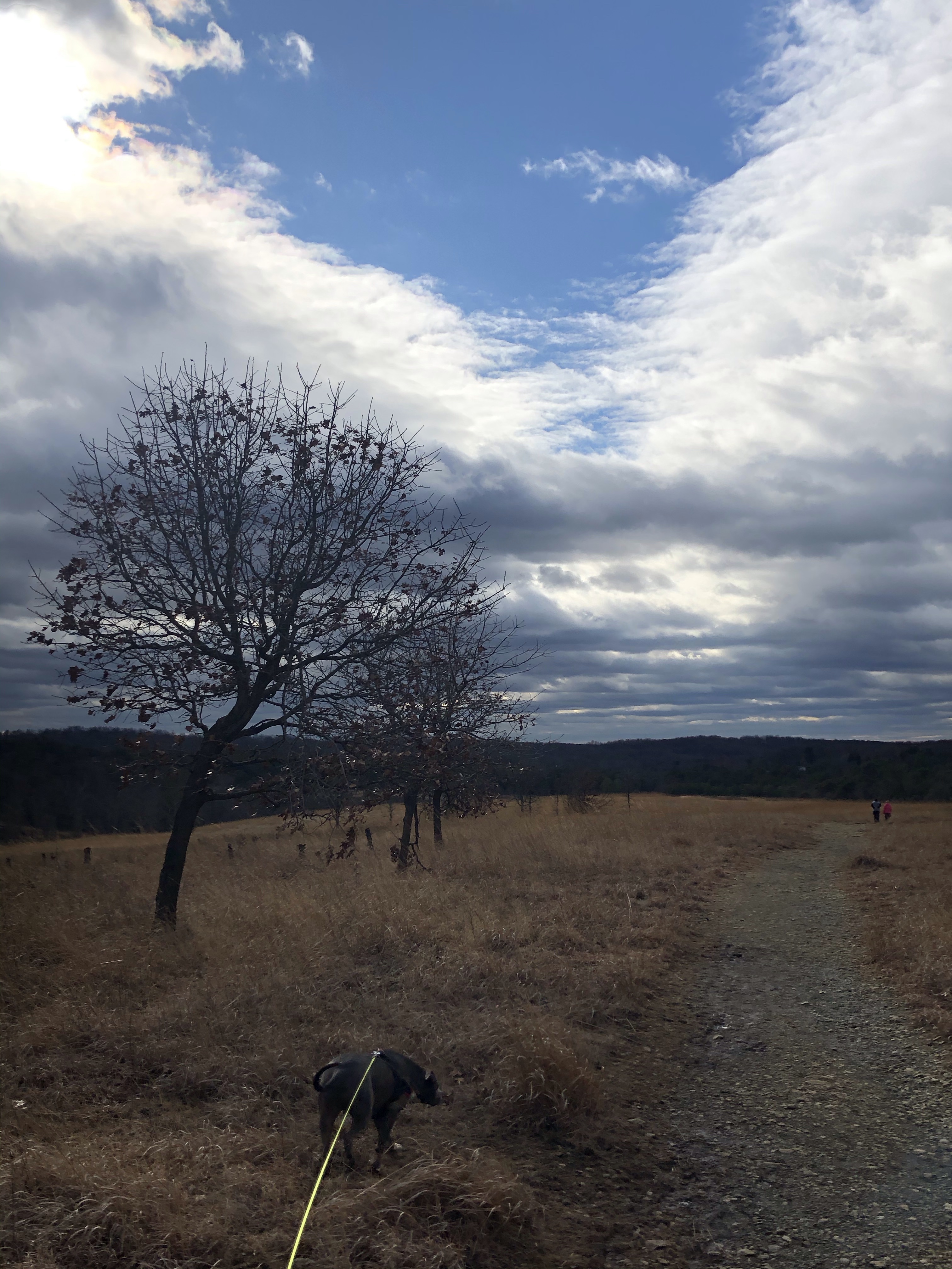
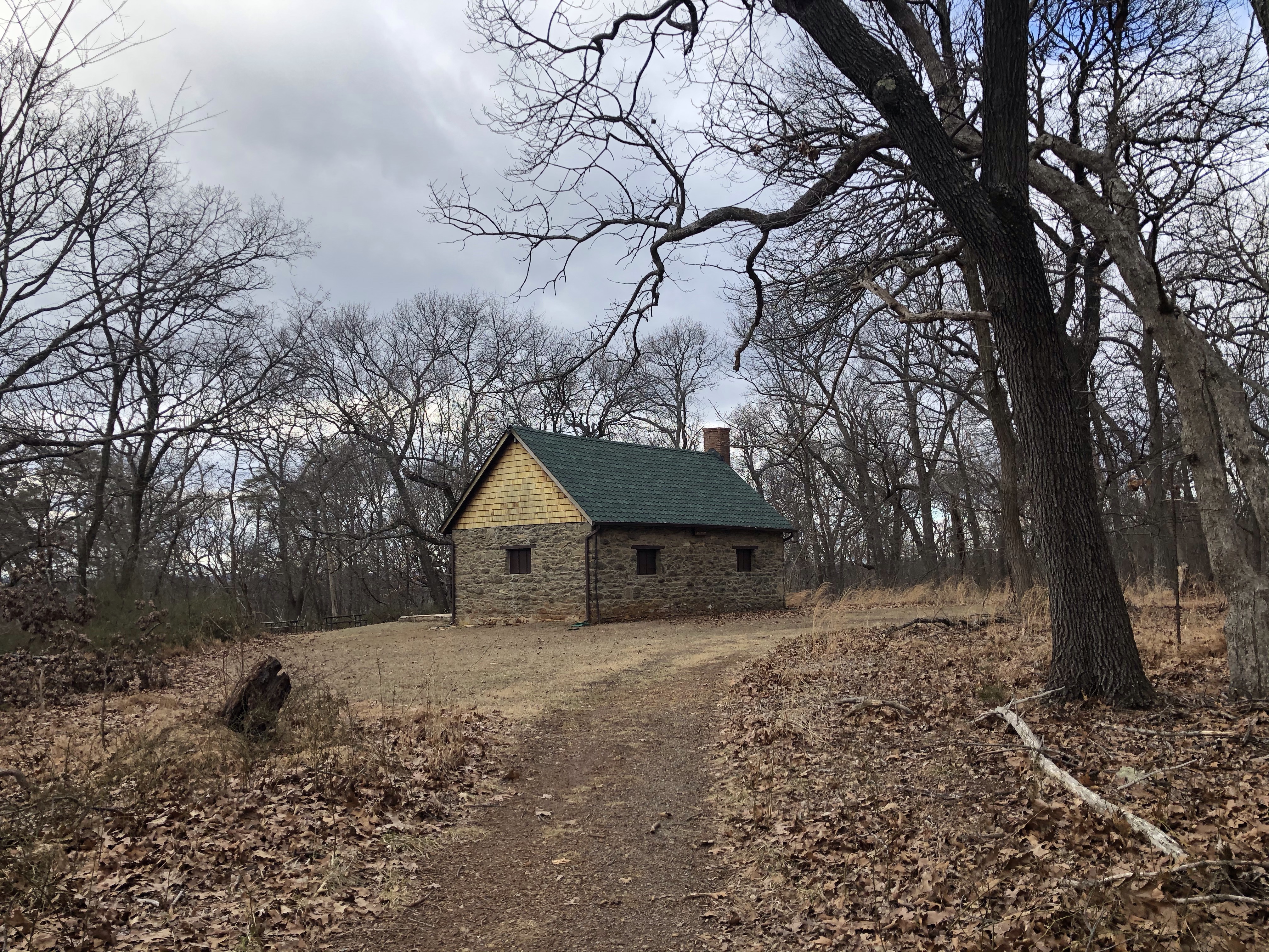
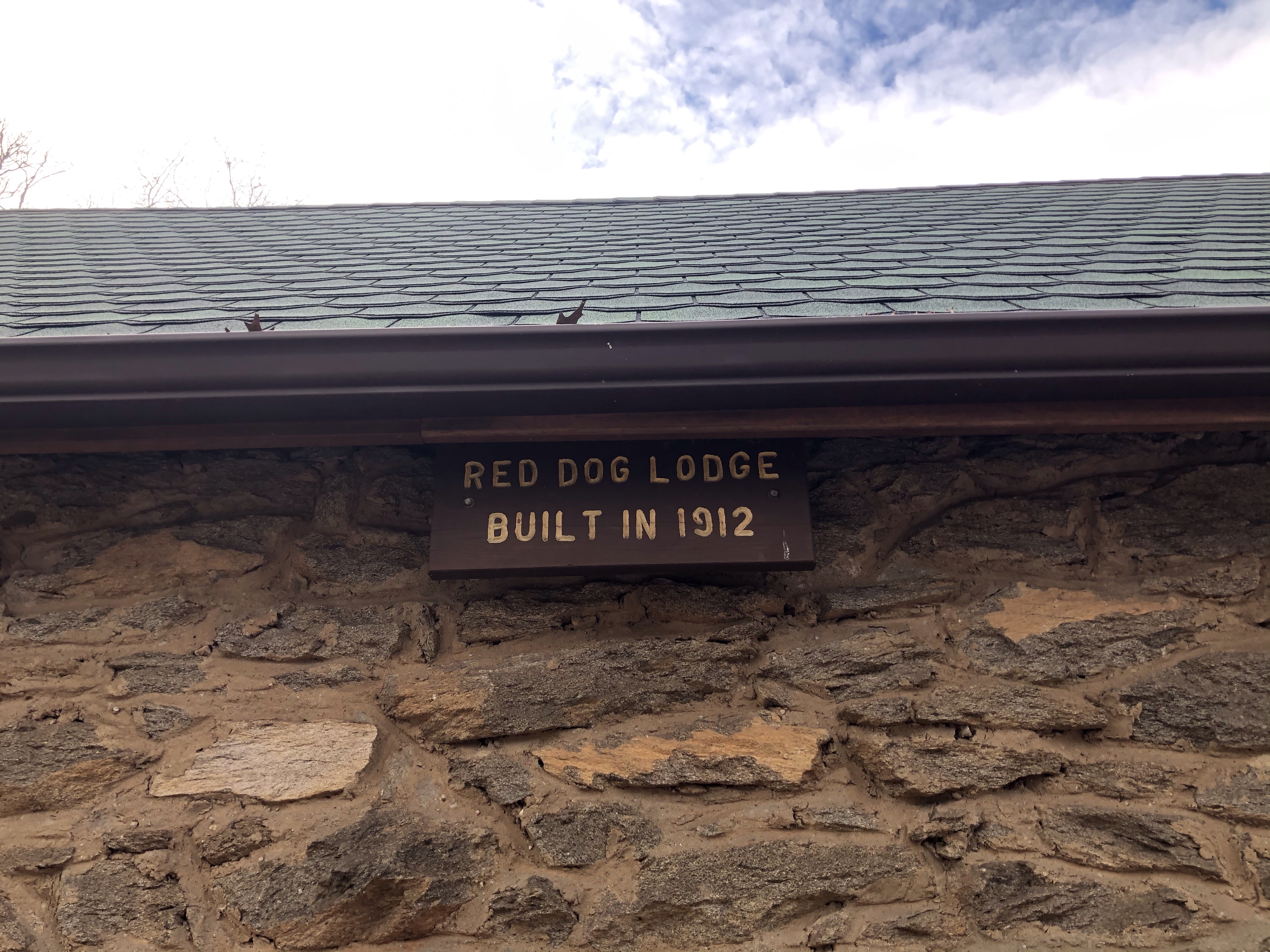
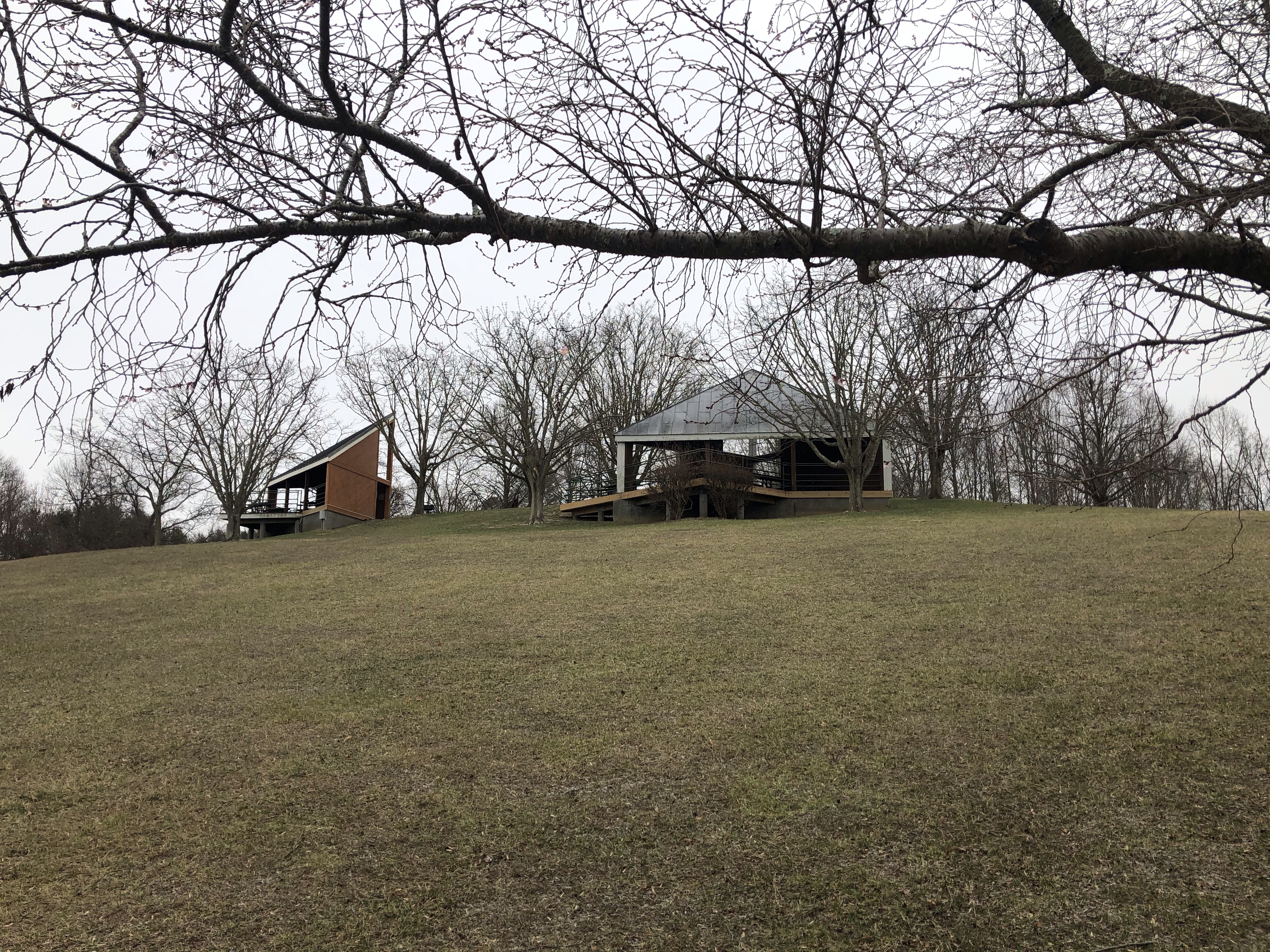
From here we can already see the Camp Ground Drive parking area but off course it’s closed at this time. I am sort of waiting to be stopped at any moment – there is a truck parked at the entrance – but no one has been in sight for two miles. Total number of people we have come across is about 10 and we have hiked more then 5 miles (not counting where we have been parked). Hiking uphill from the parking lot we take a breather on a huge fallen tree and eat our respective sandwich (DD). Energized again we climb all the way to the top of this section just to continue on a downhill path.
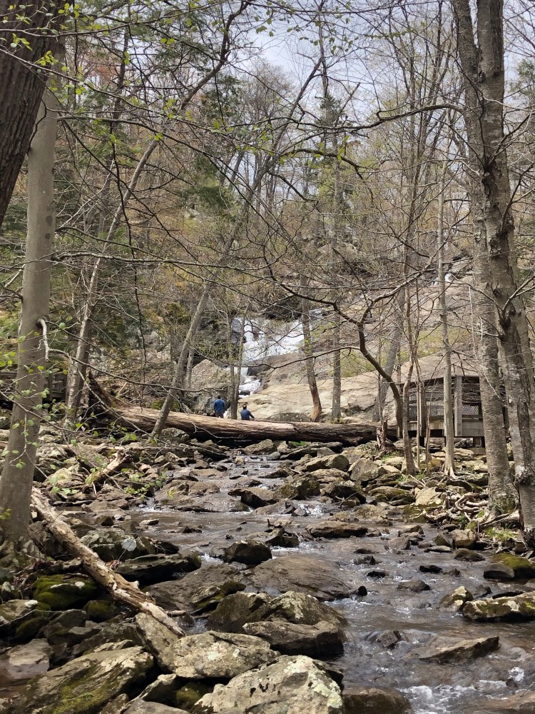
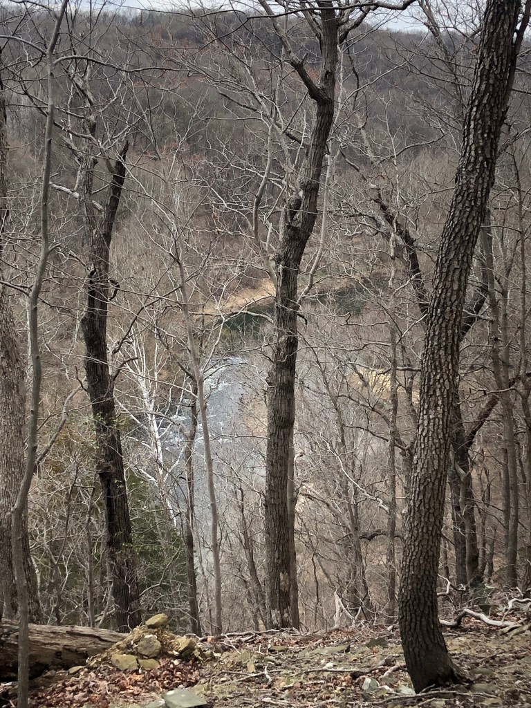
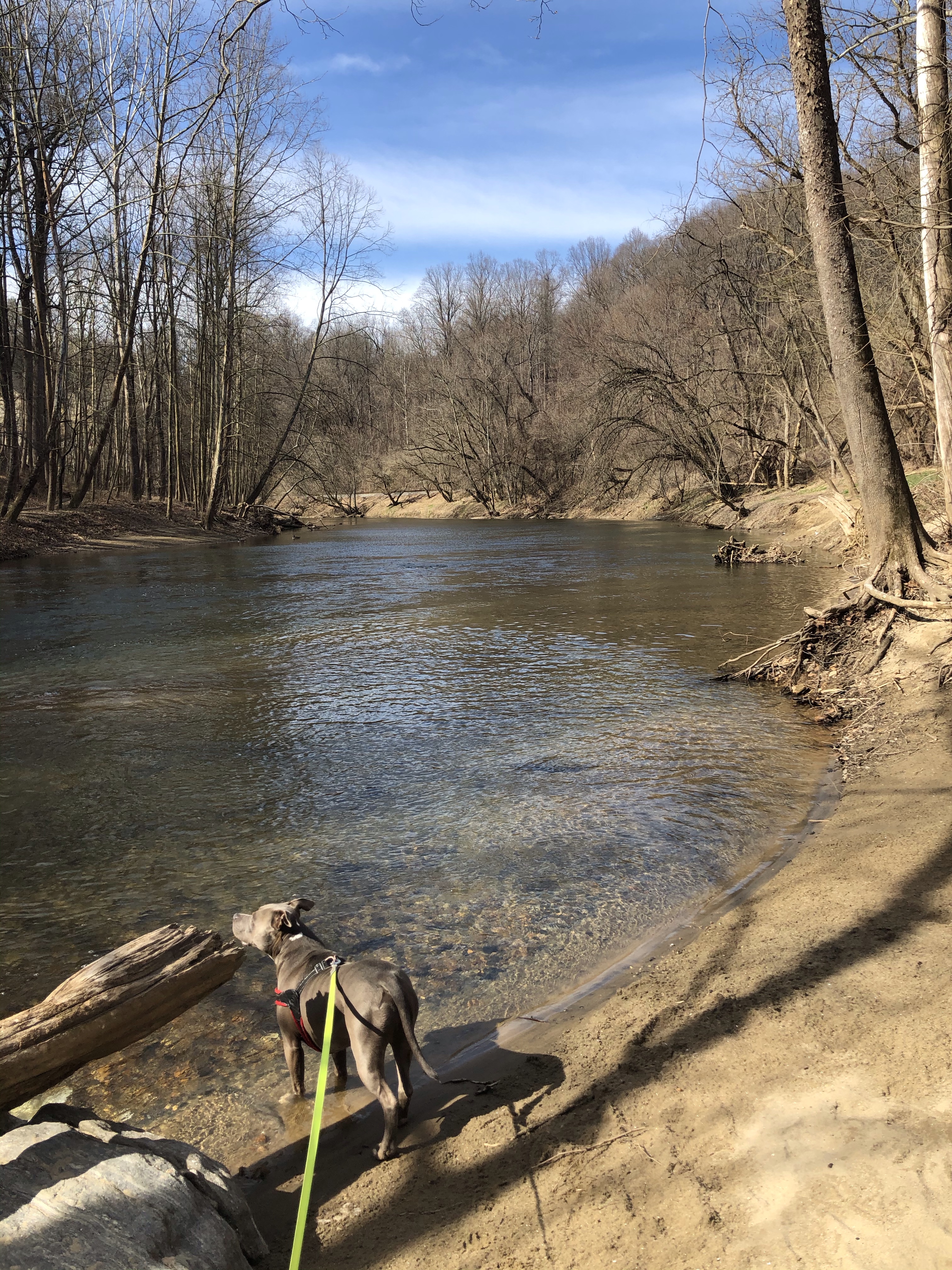
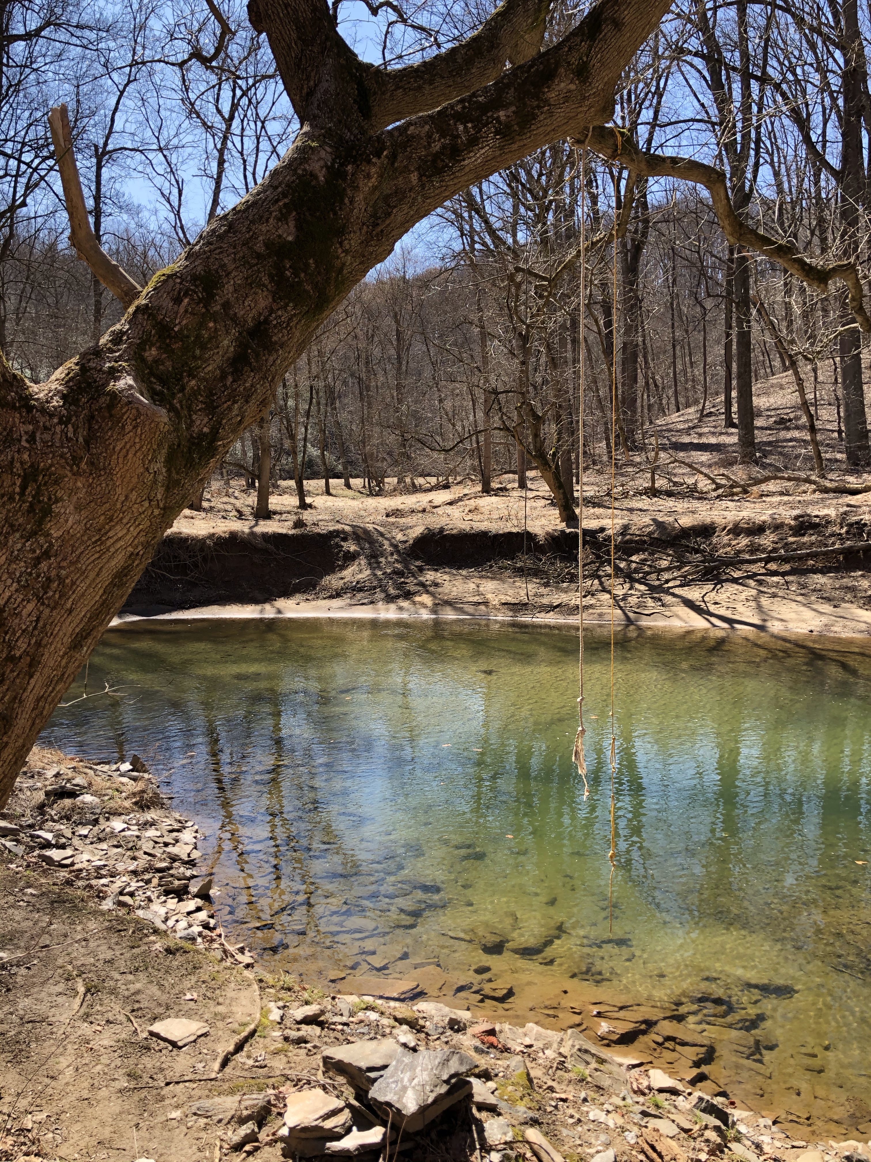
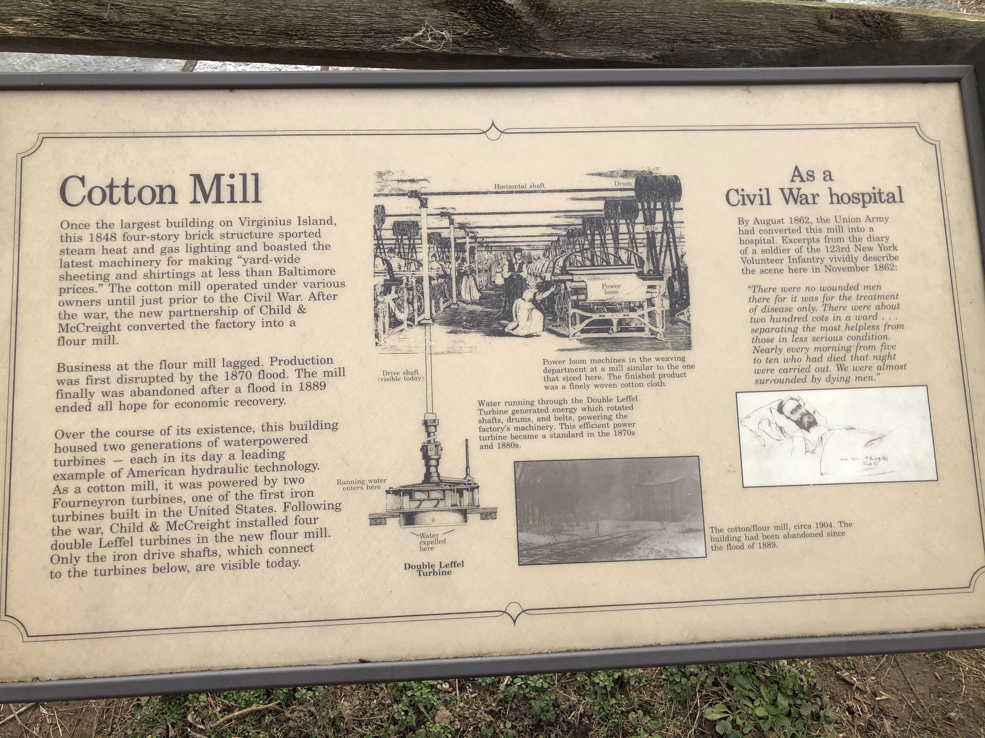
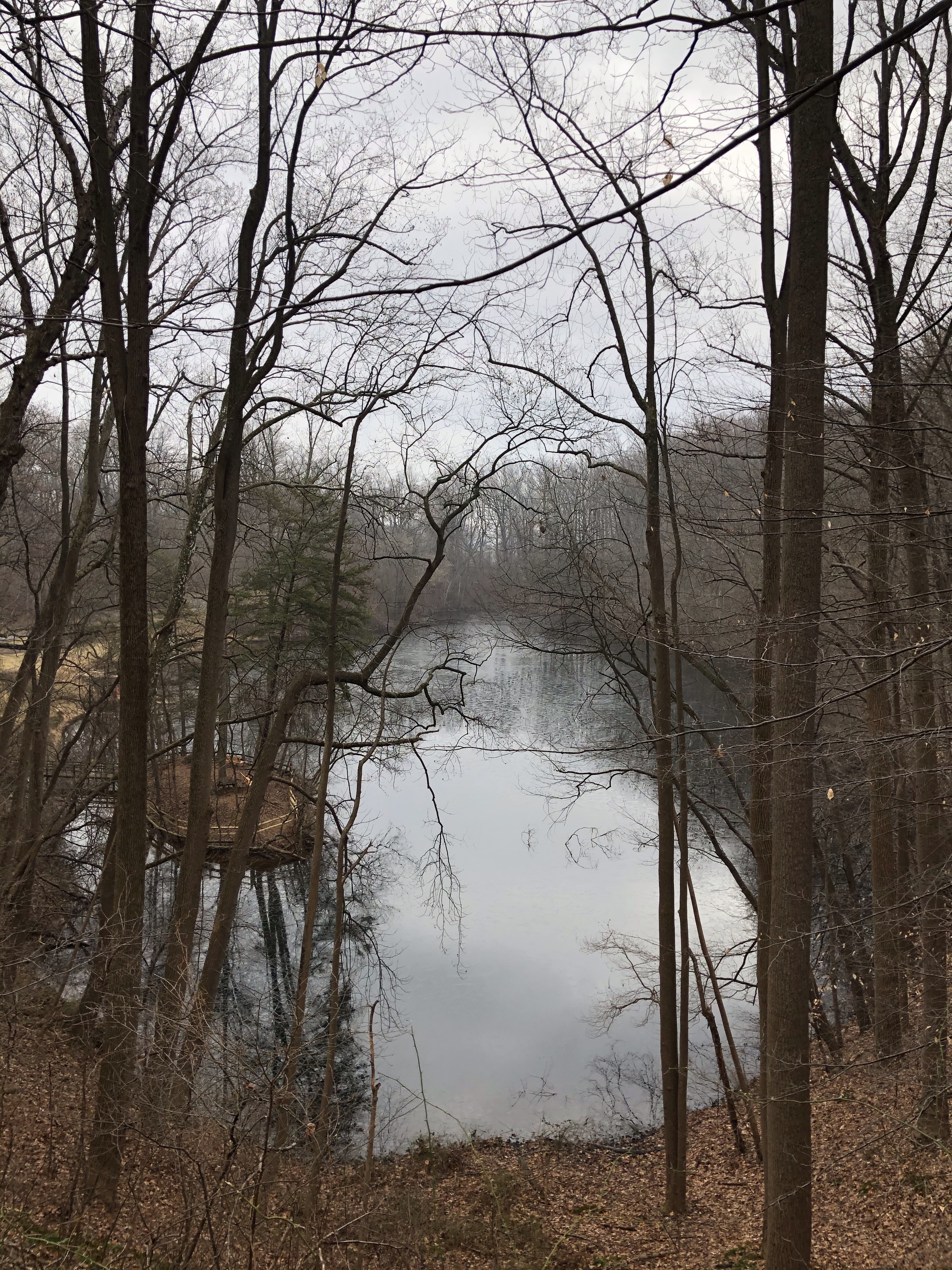
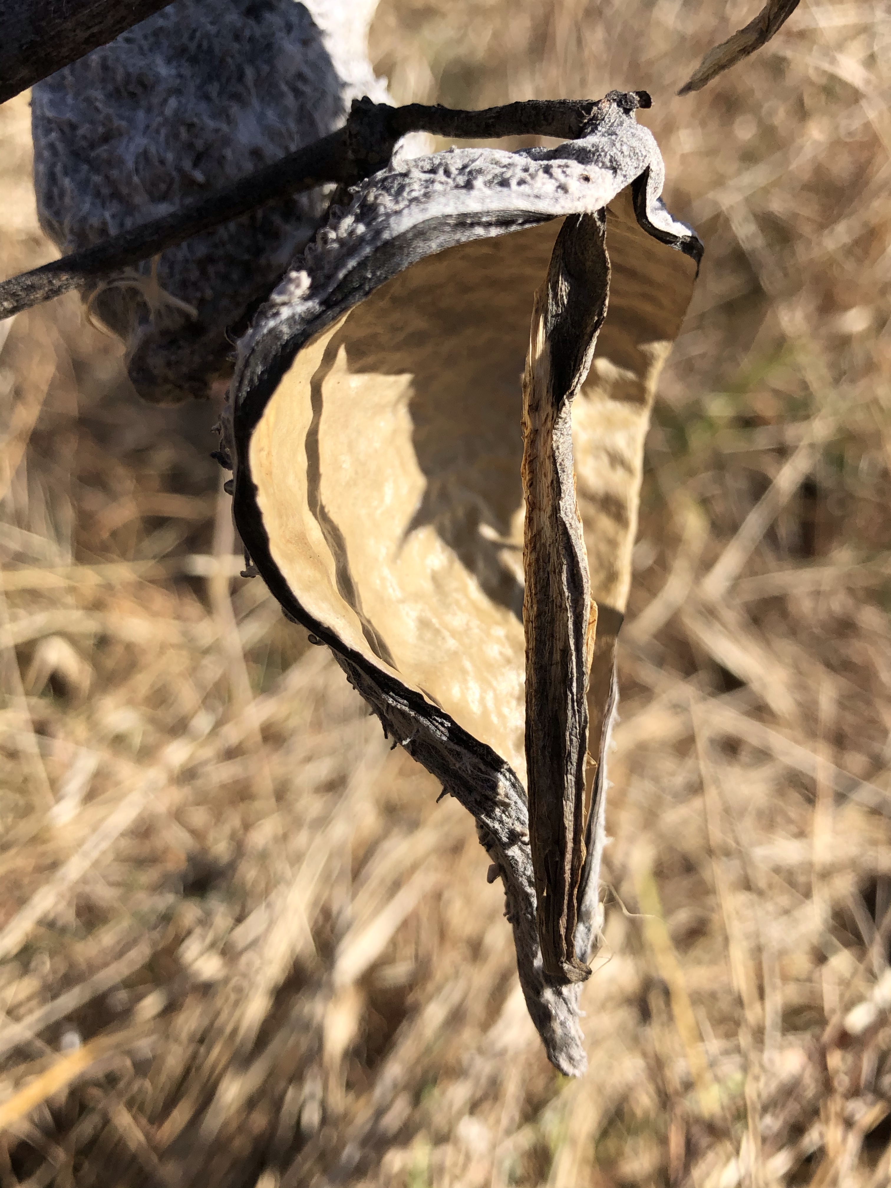
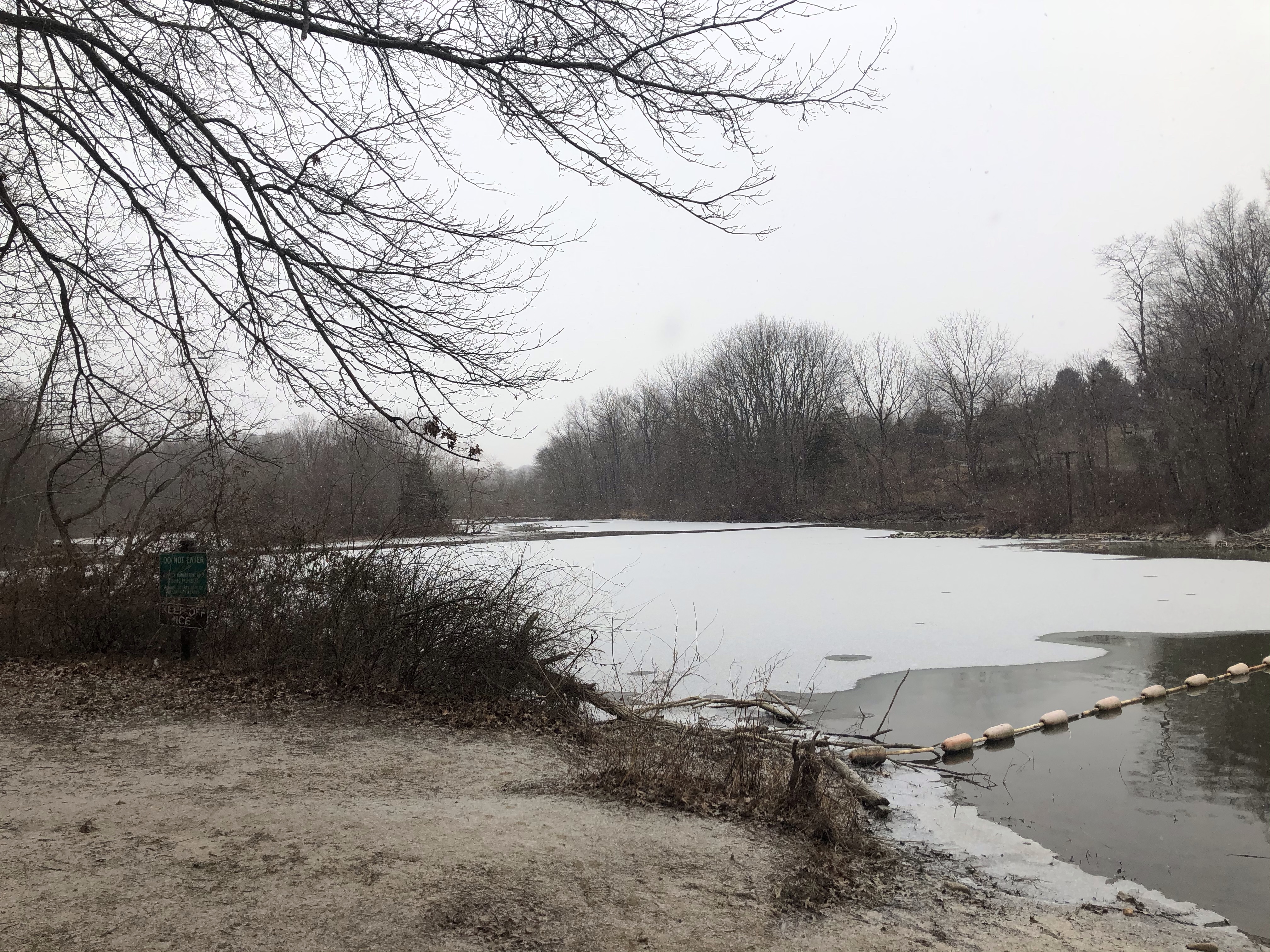
Originally I wanted to walk down to the lake but when we get to Cliff Trail (East) to do just that, this is what greets us.
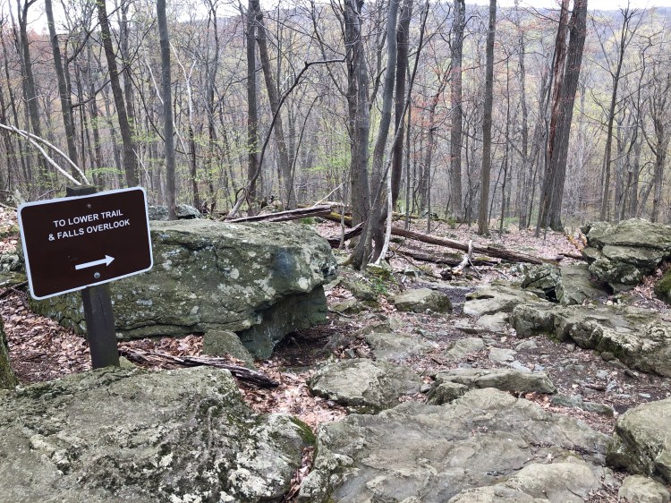
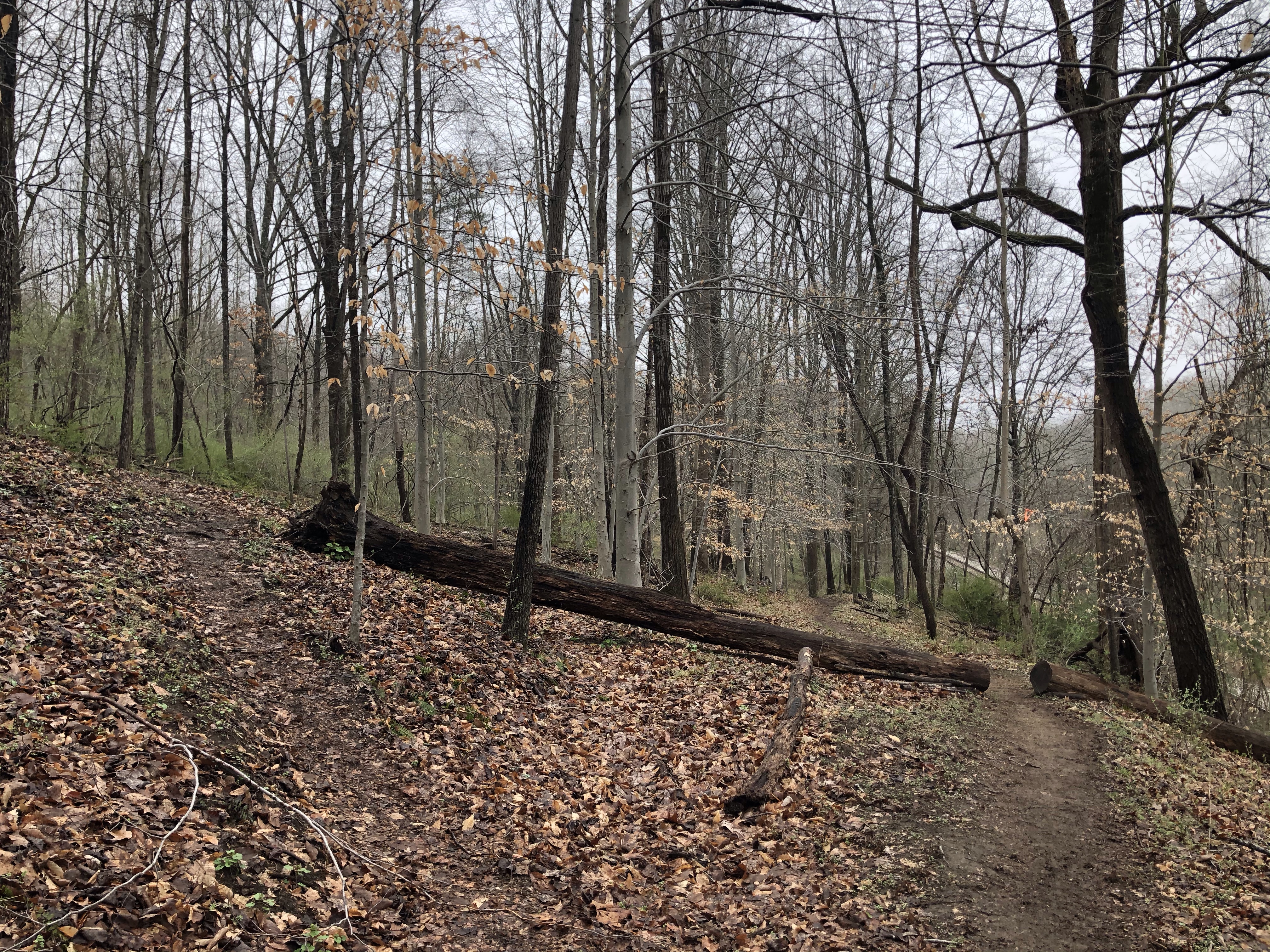
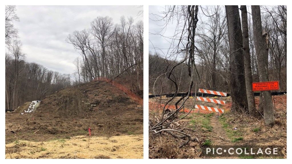
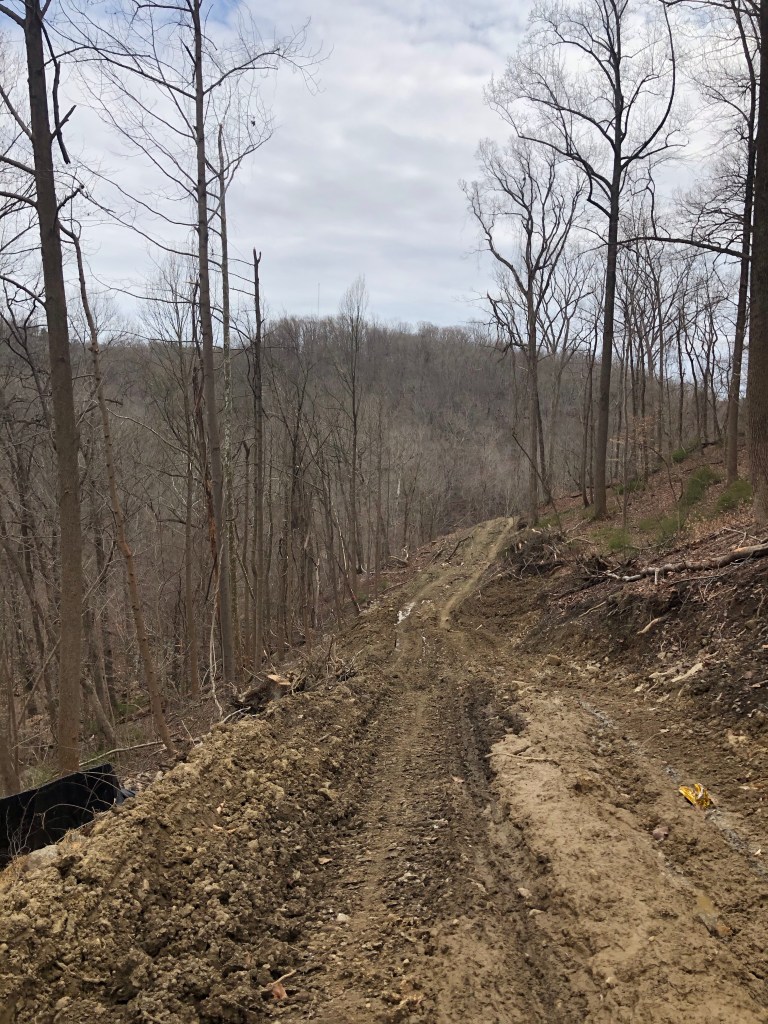
So we are forced to follow Cliff Trail to the left (NW-yellow) towards the Falls. This is a short 0.3 portion until we fork into the Lower Trail. It goes slightly uphill until this massive lose rock mound in the middle of the forest.
Right after the trails splits into a 1.4 mile section to the left, which ends at Park Central Rd. (N). We proceed to the right….
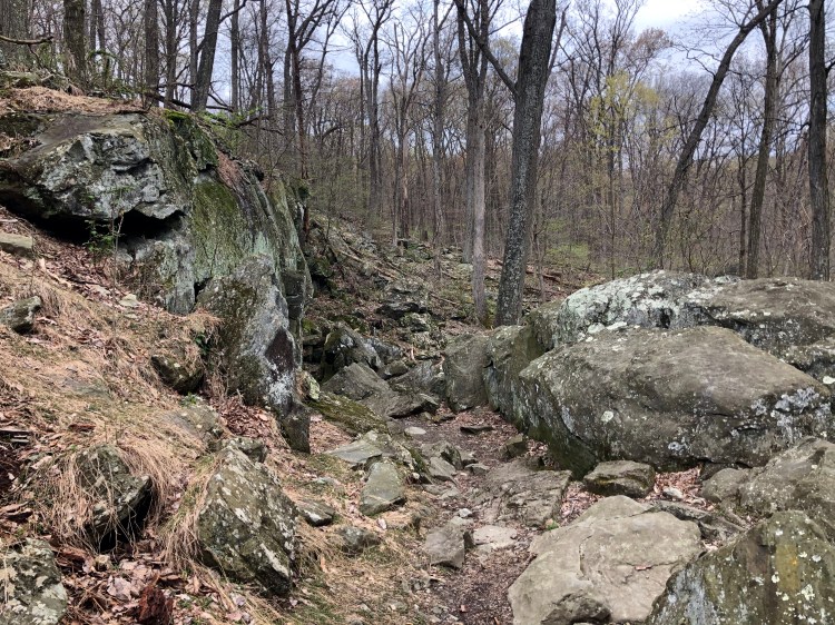
Trail is rocky downhill but easier on the joints thanks to zigzagging through boulders.
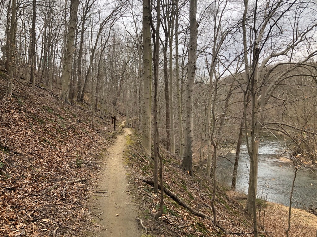
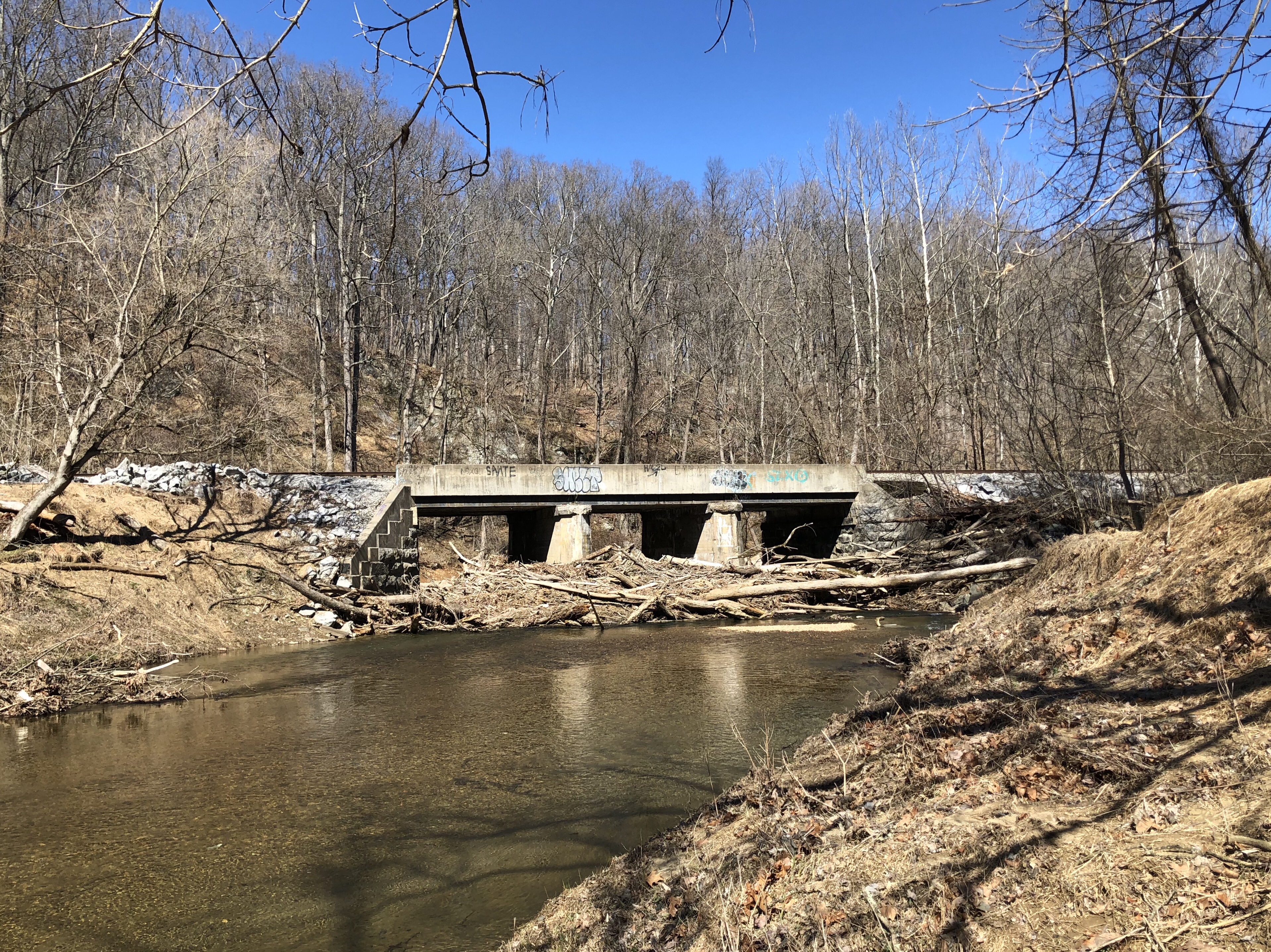
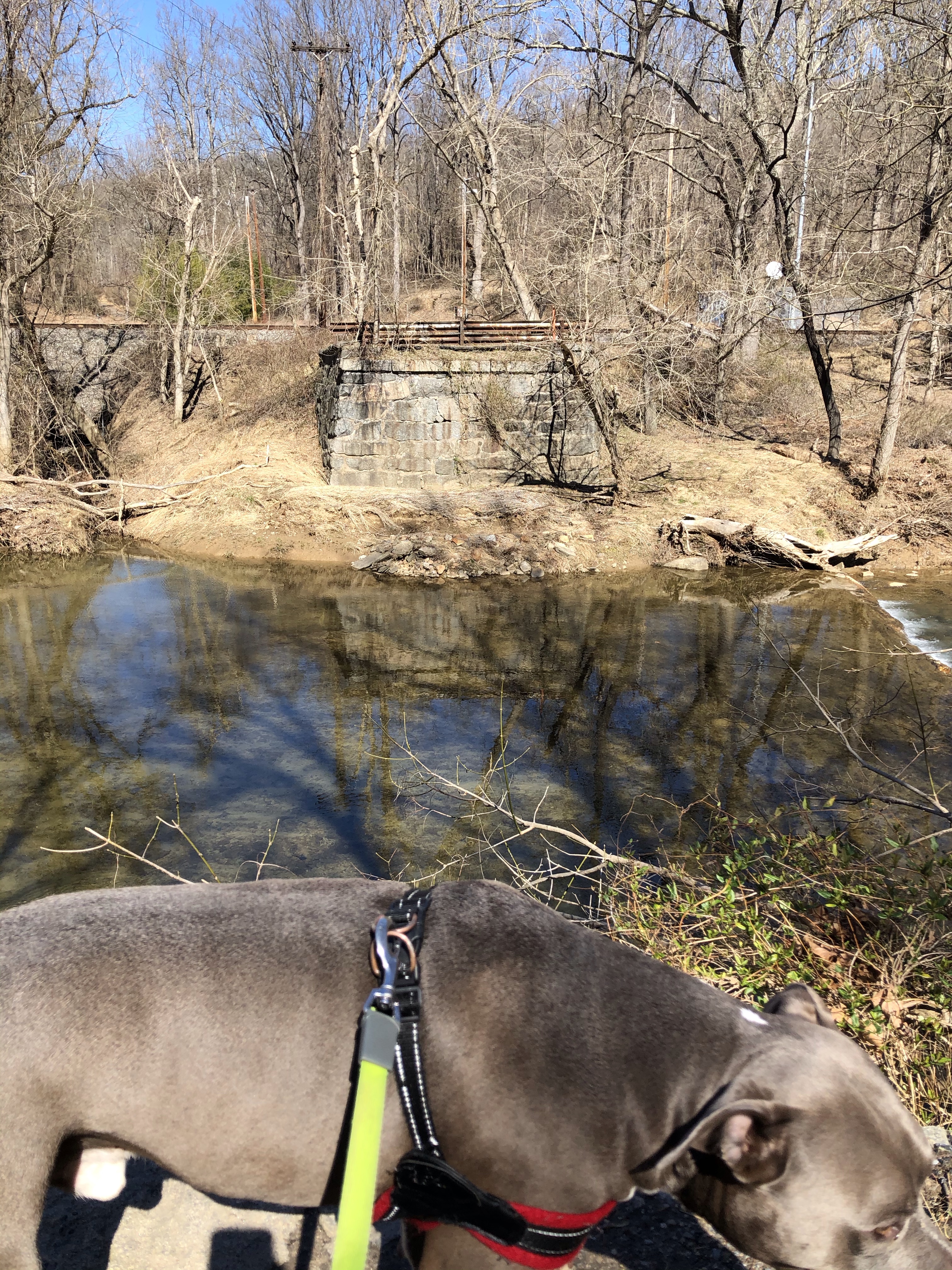
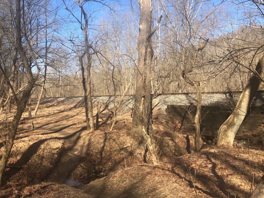
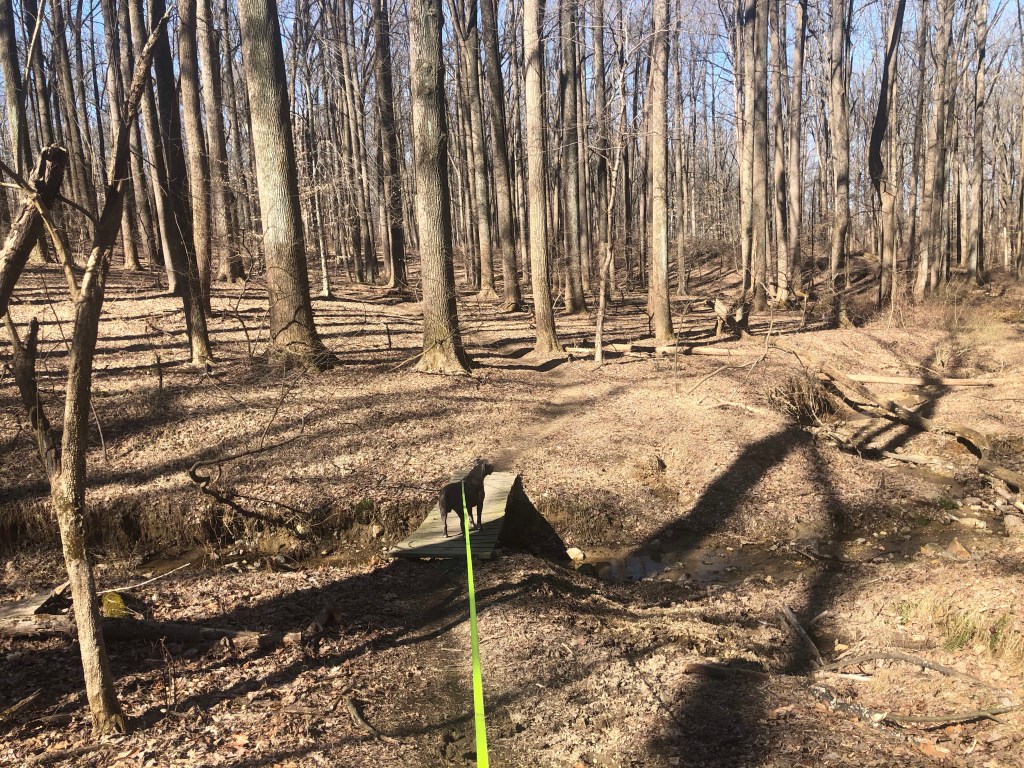
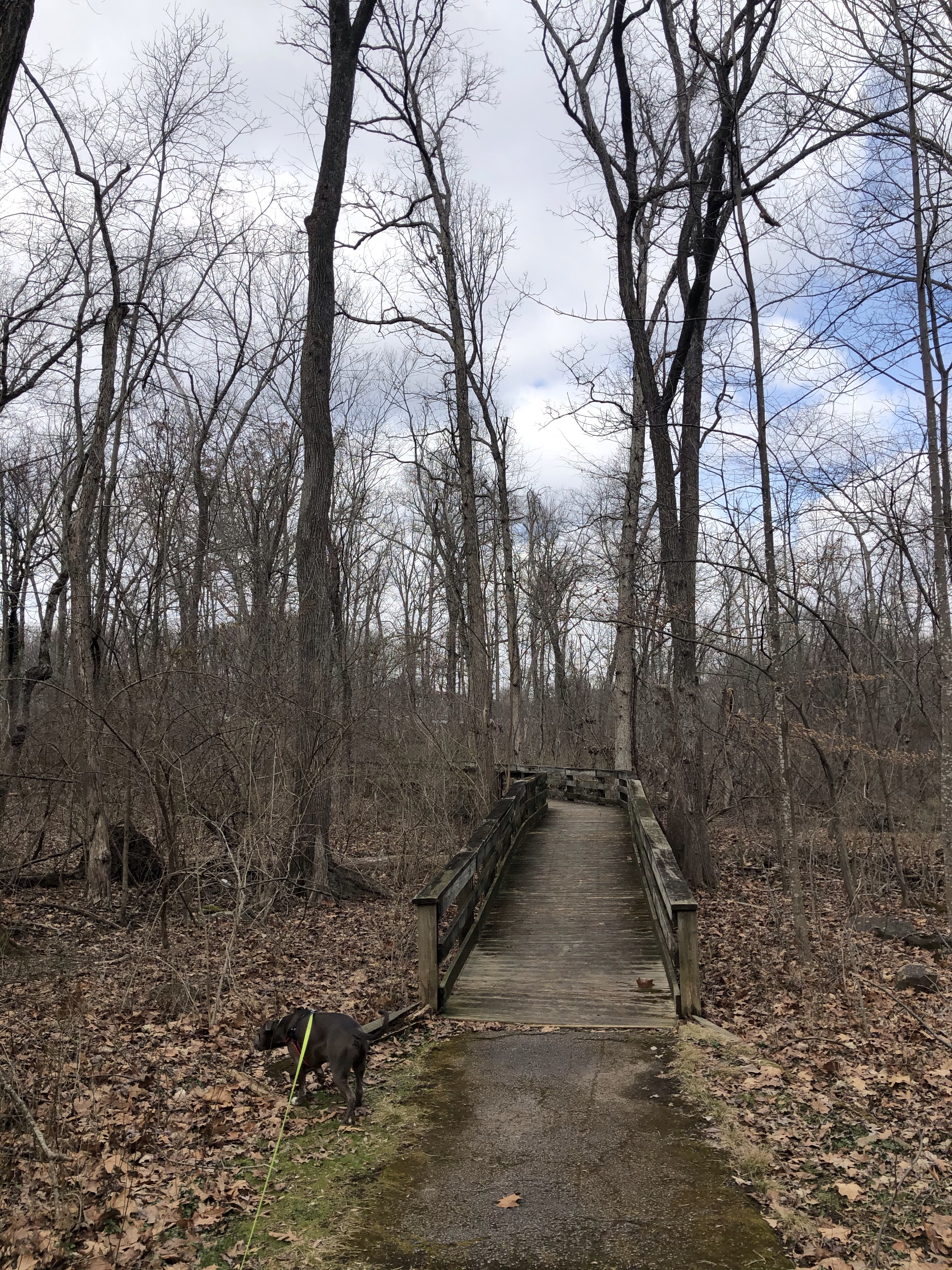
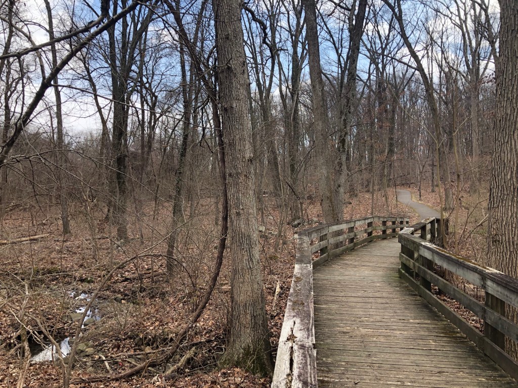
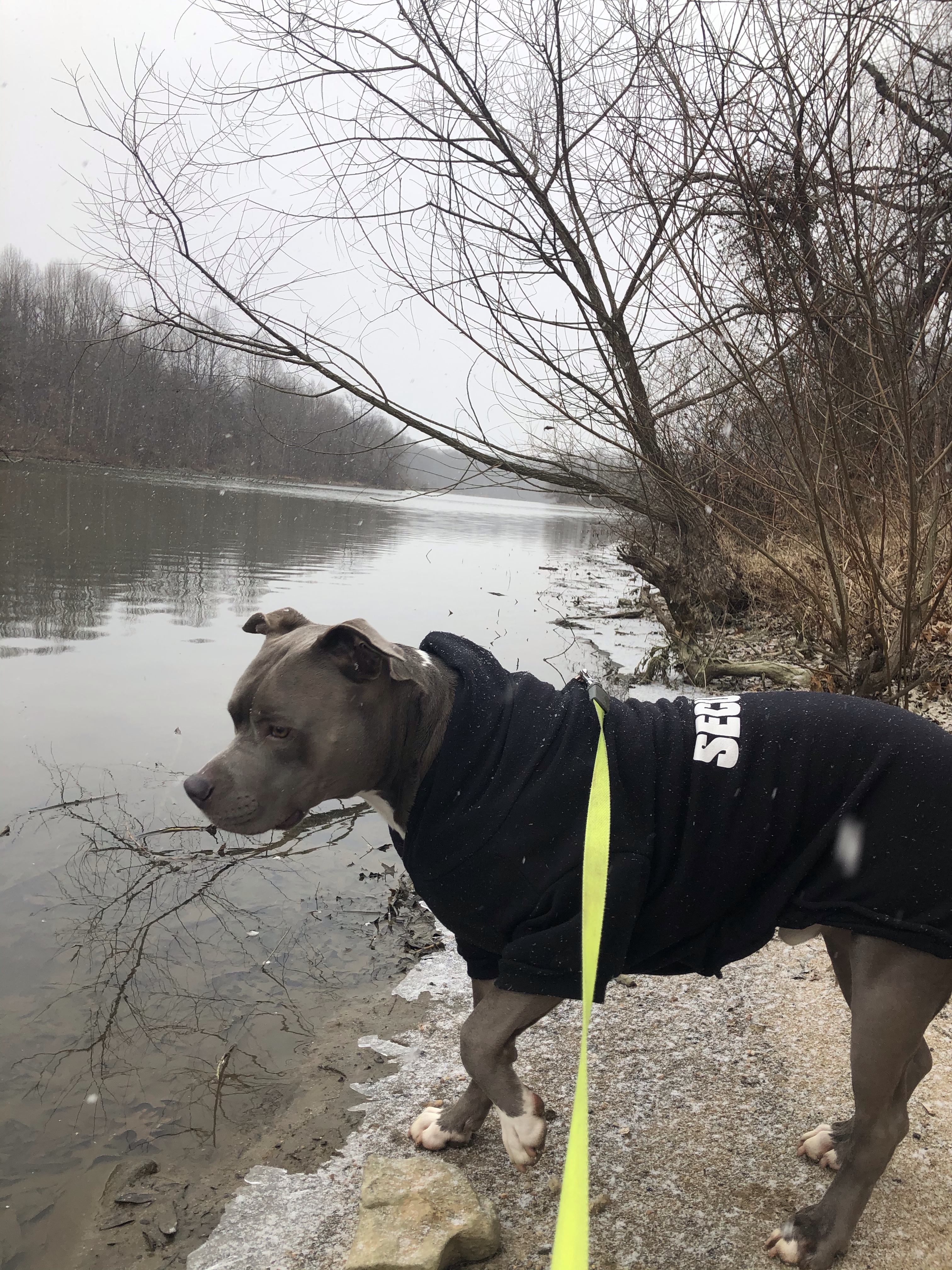
At the bottom we merge with the Lower Trail on our right and a closed off boardwalk on our left which would normally lead us to Cunningham Falls. I respect the closure here, even though there are several people at the bottom of the rapids.
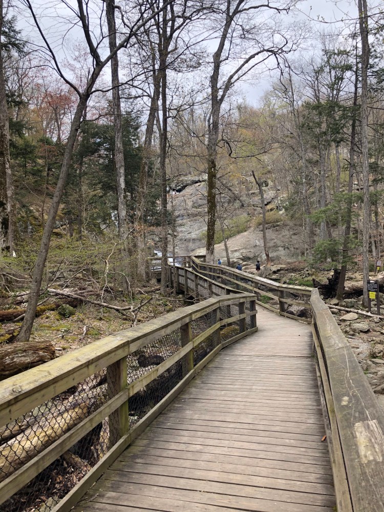
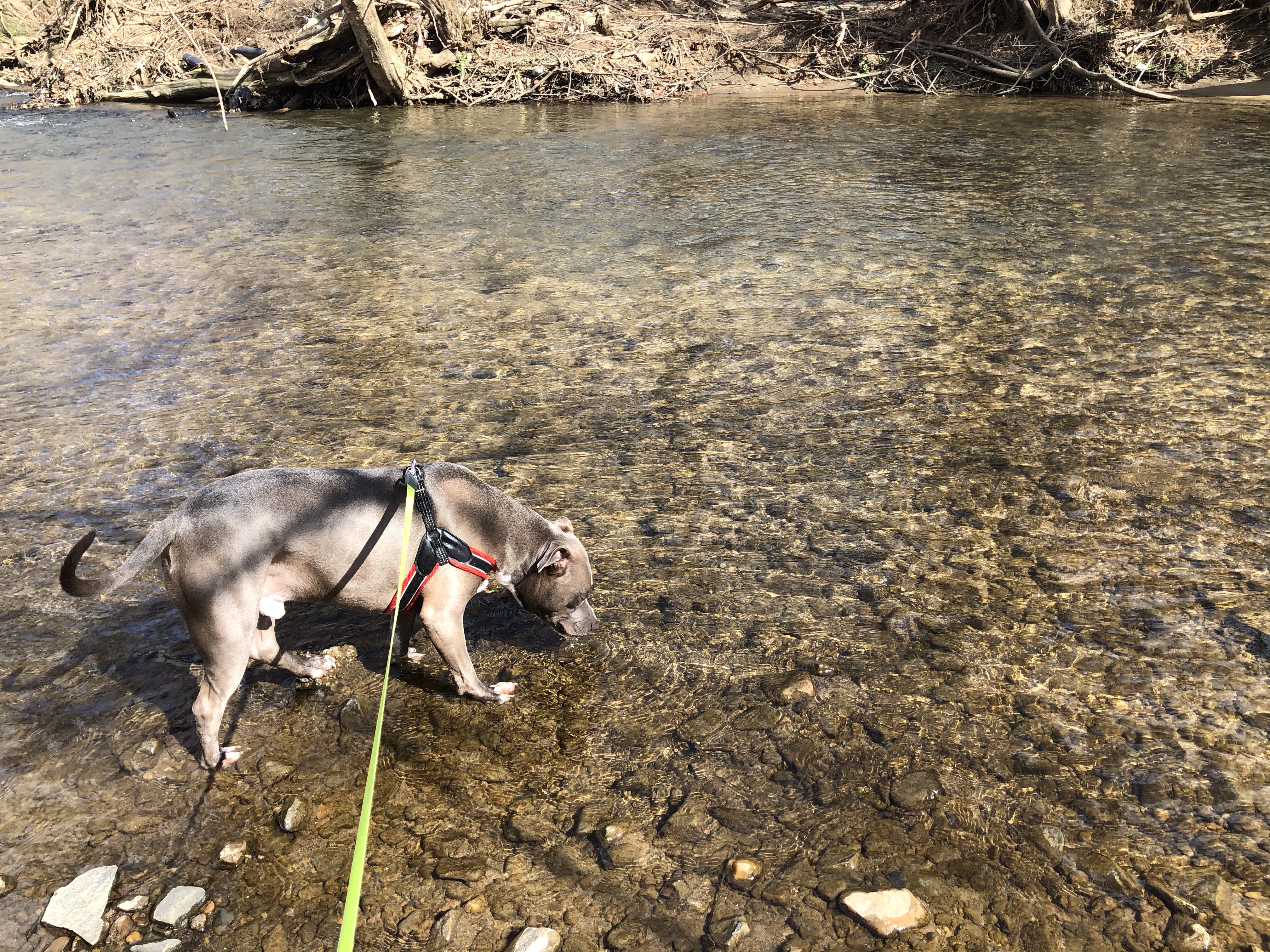
Since there are no other way to get through to Foxville Rd. we have to cross through the stream and hop on the other boardwalk. There are people on it so I am under the impression that its open. Which doesn’t make any sense.
Hm….
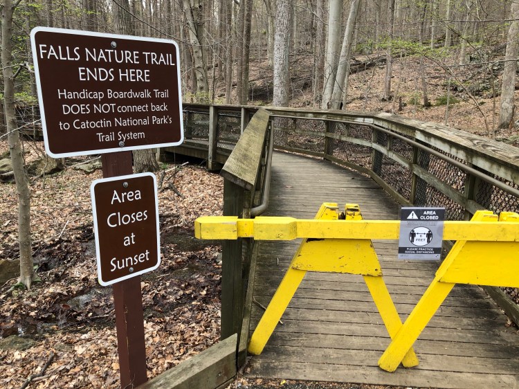
We apologize! In our defense….we jumped it from the inside out.
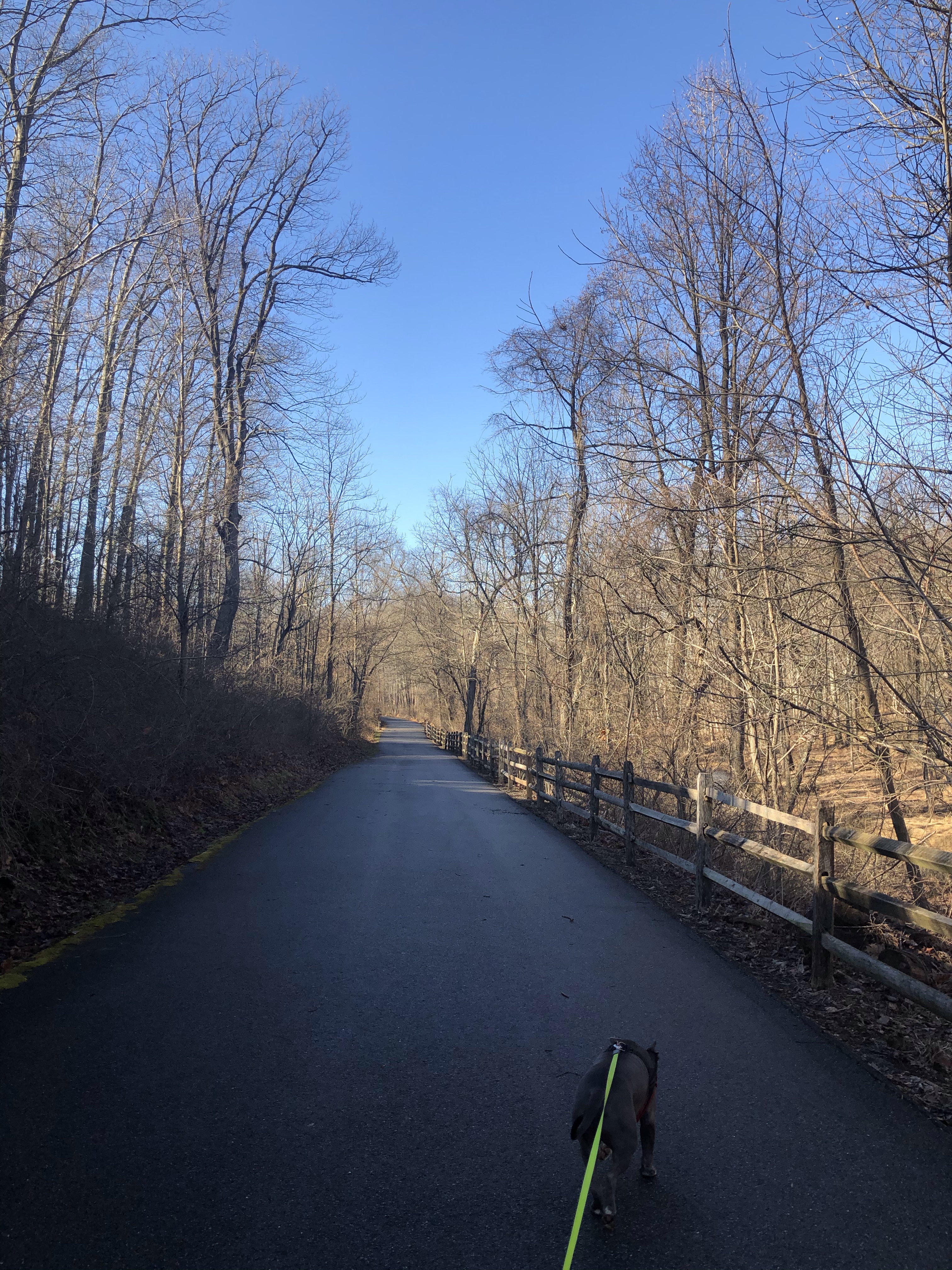
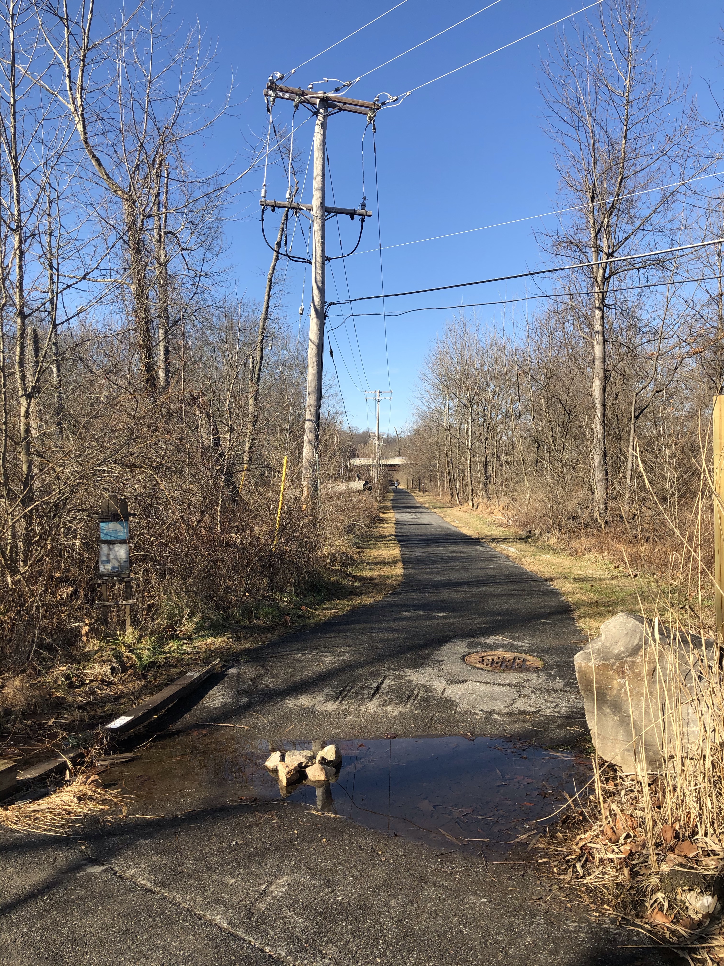
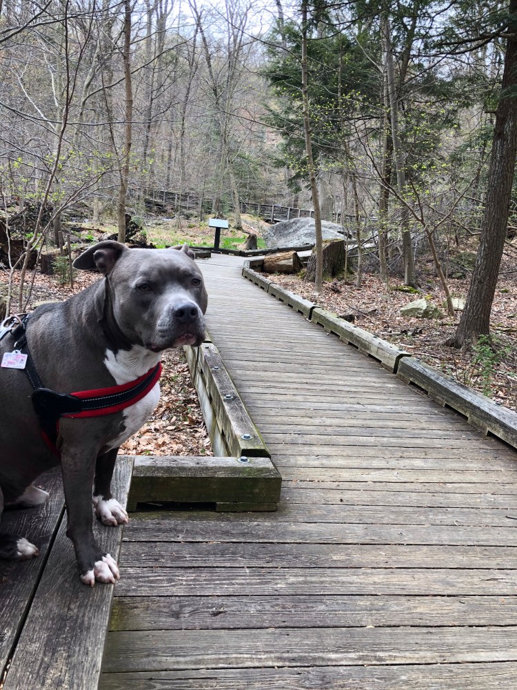
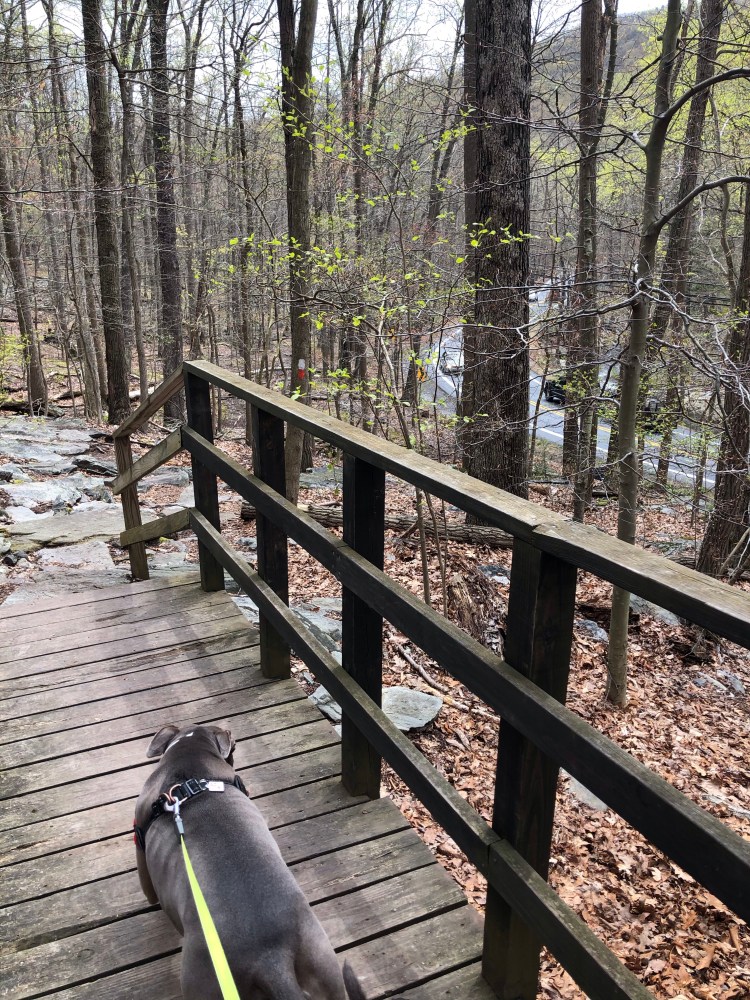
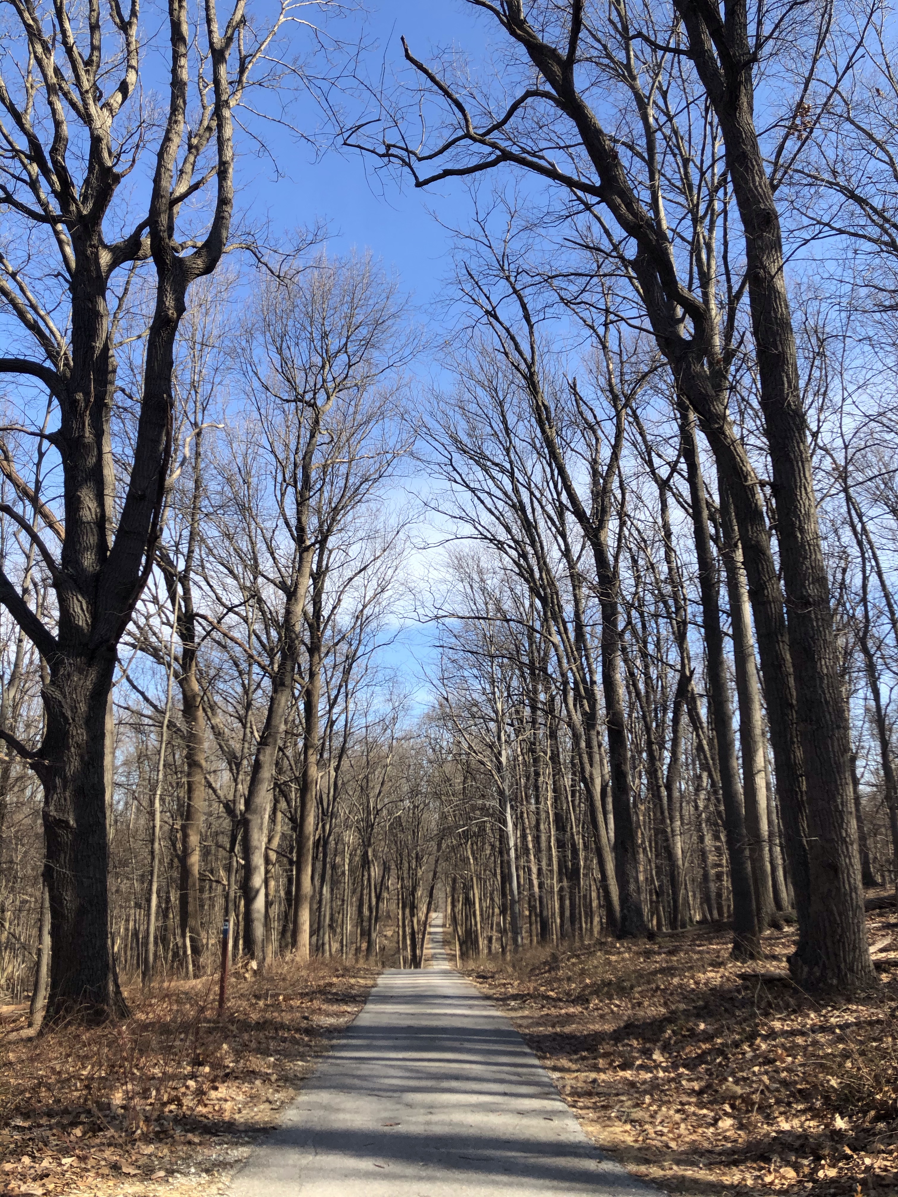
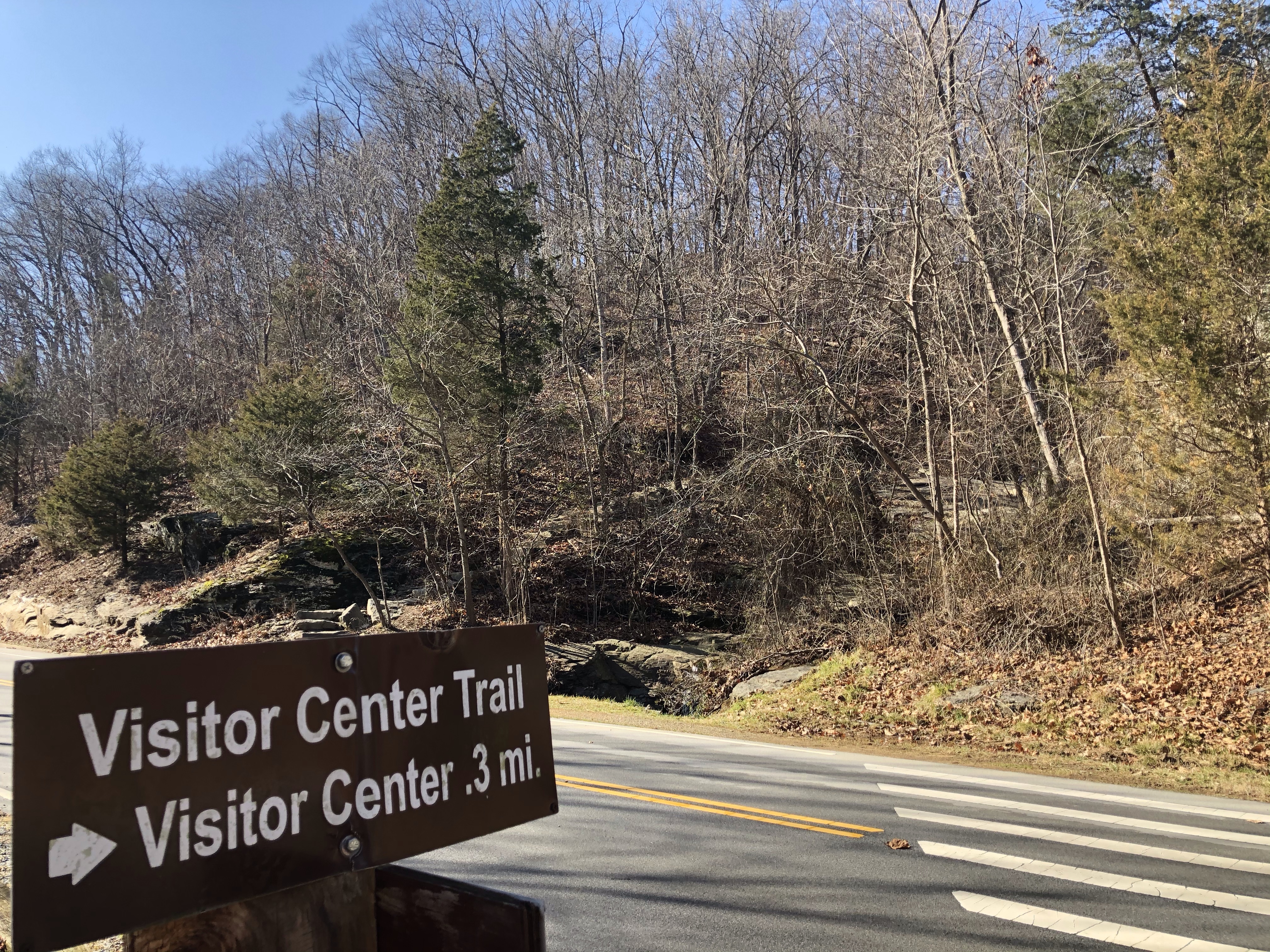
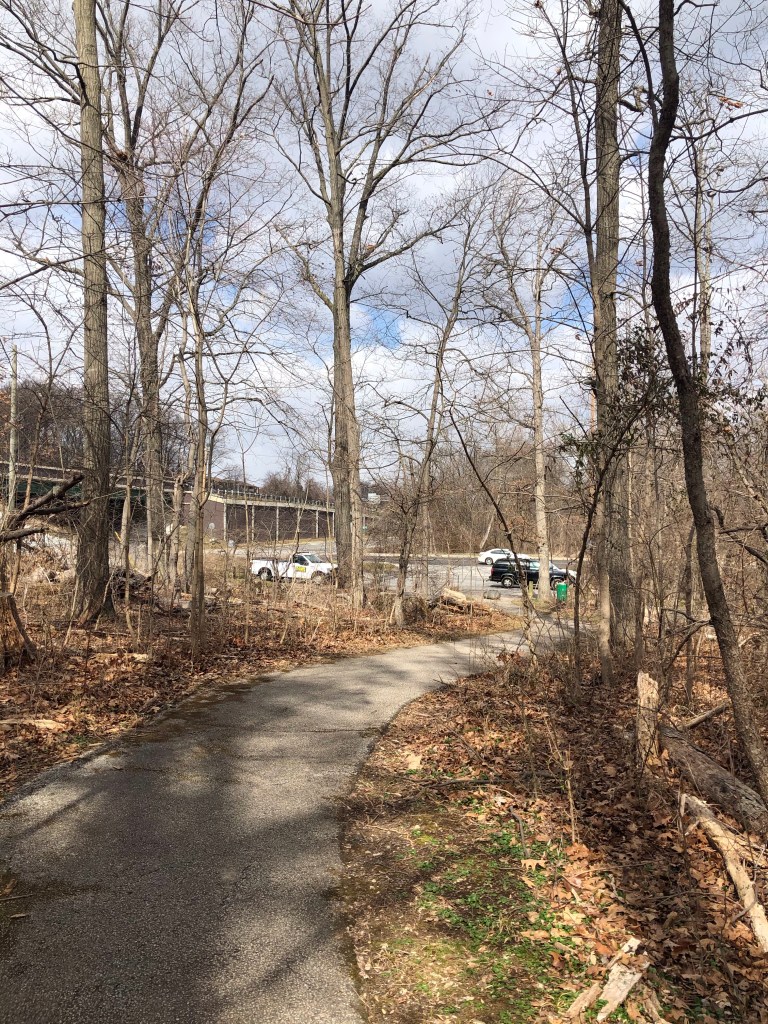
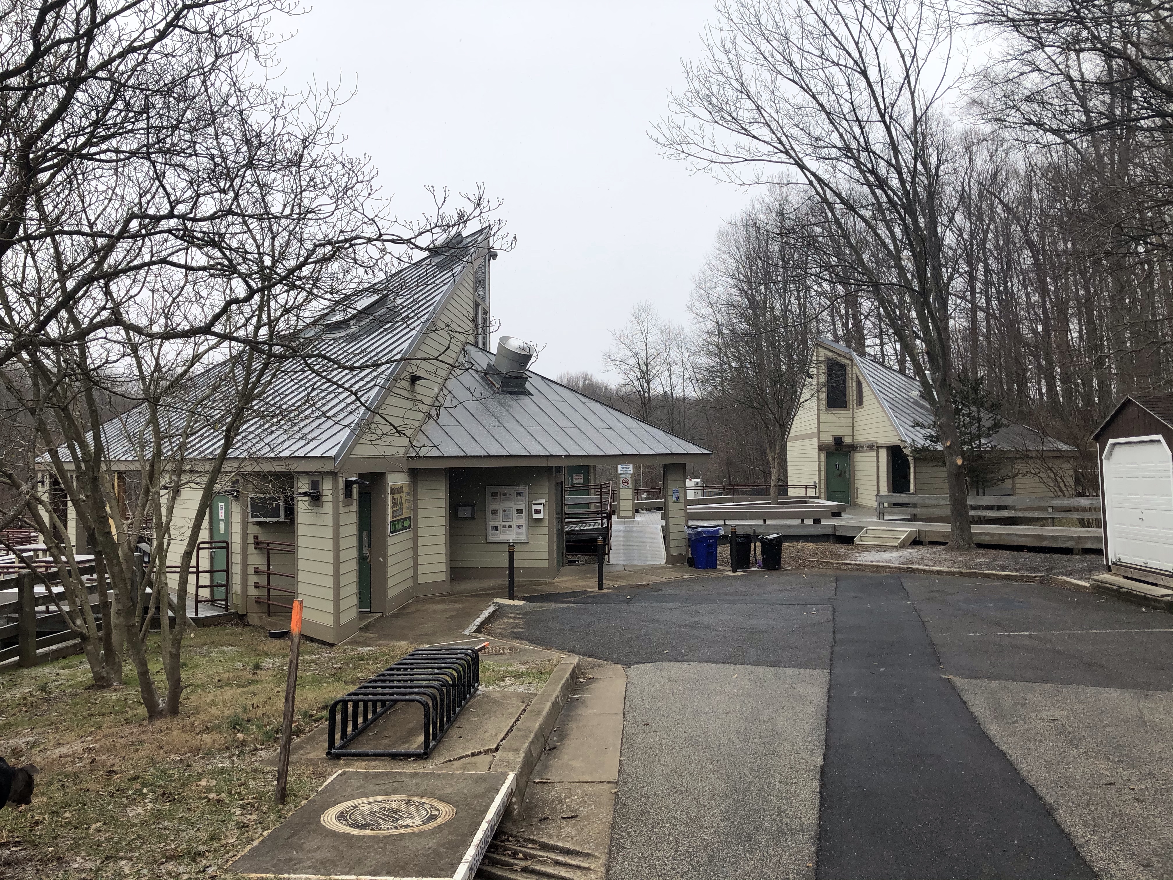
There is a small handicap parking area here which we have to cross in order to get to the continuum of Falls Nature Trail (orange) on the other side of Foxville Rd. This stretch is 1.1 mile long and will take us to the Visitor Center.
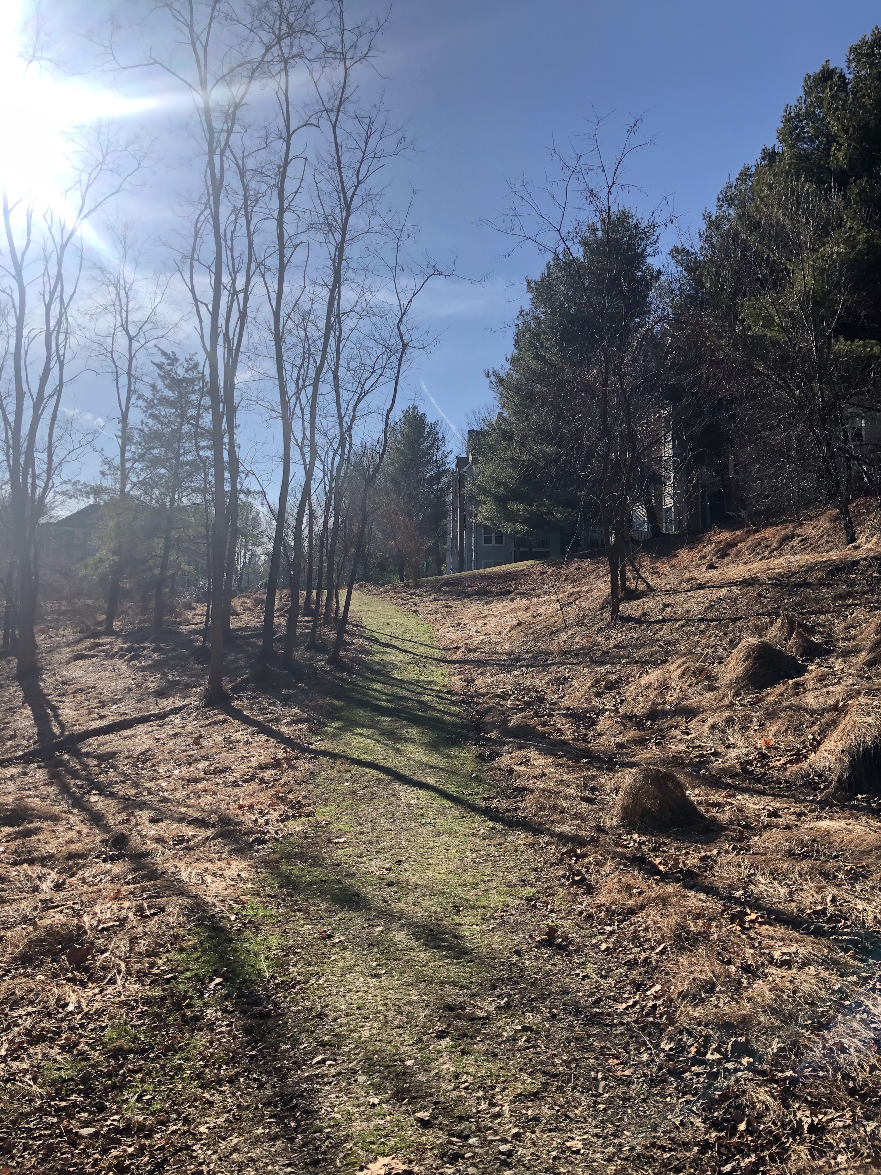
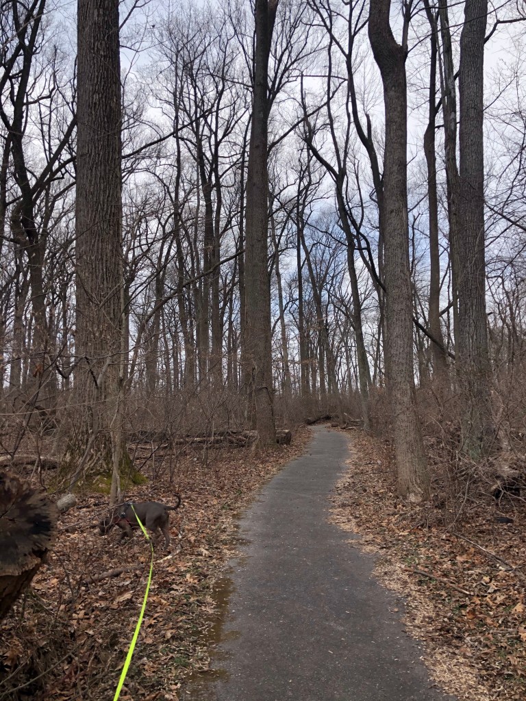
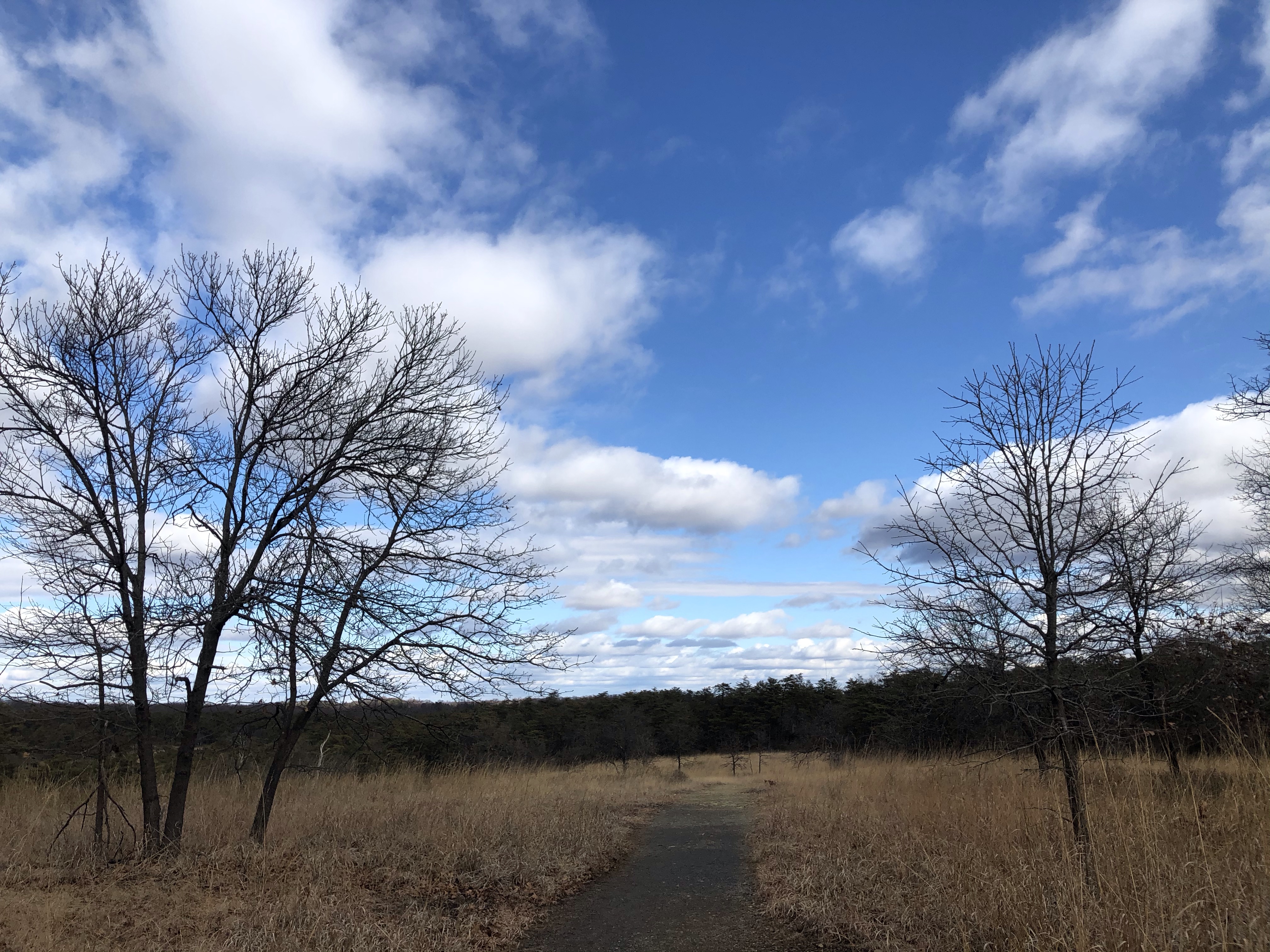
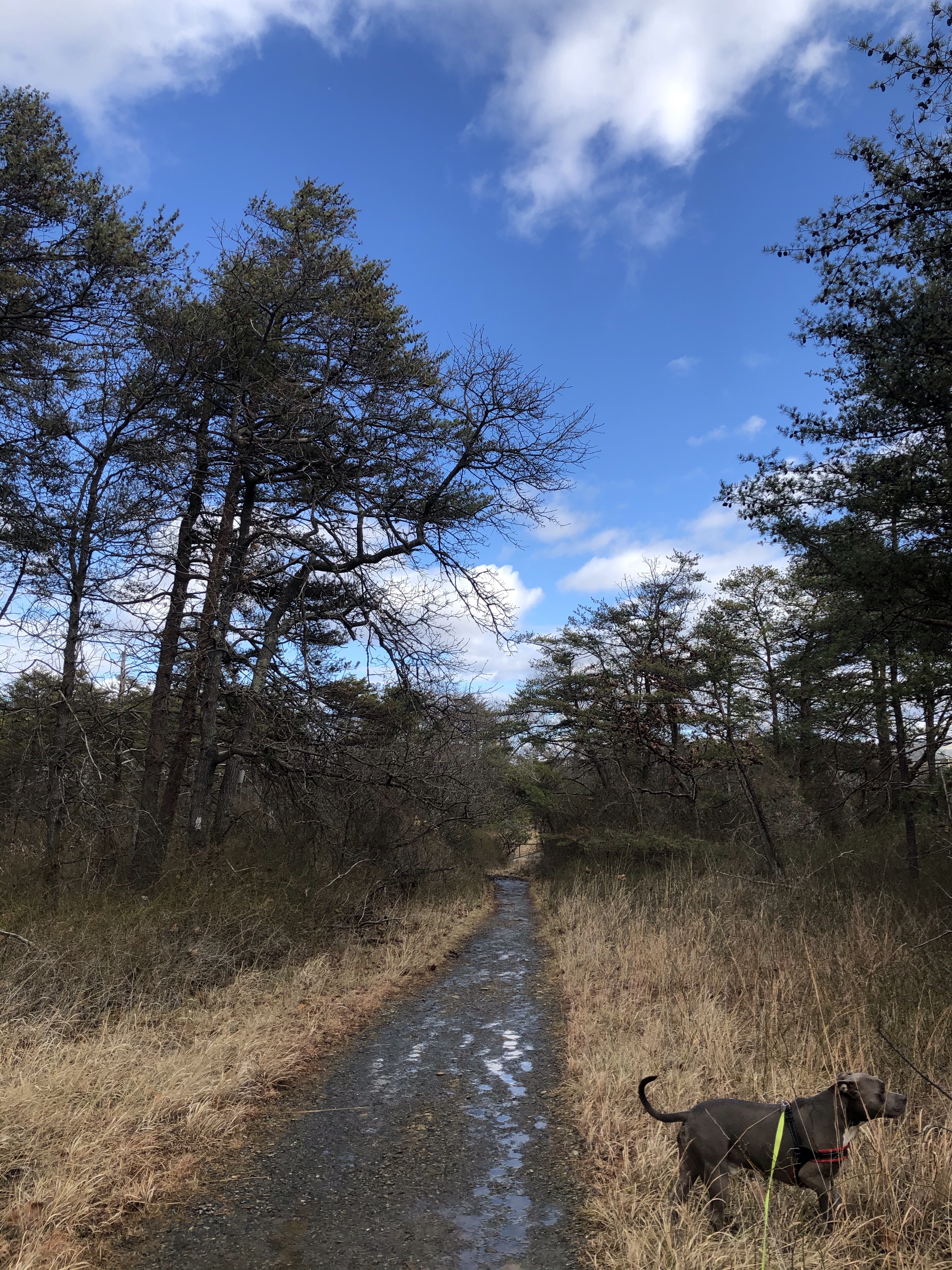
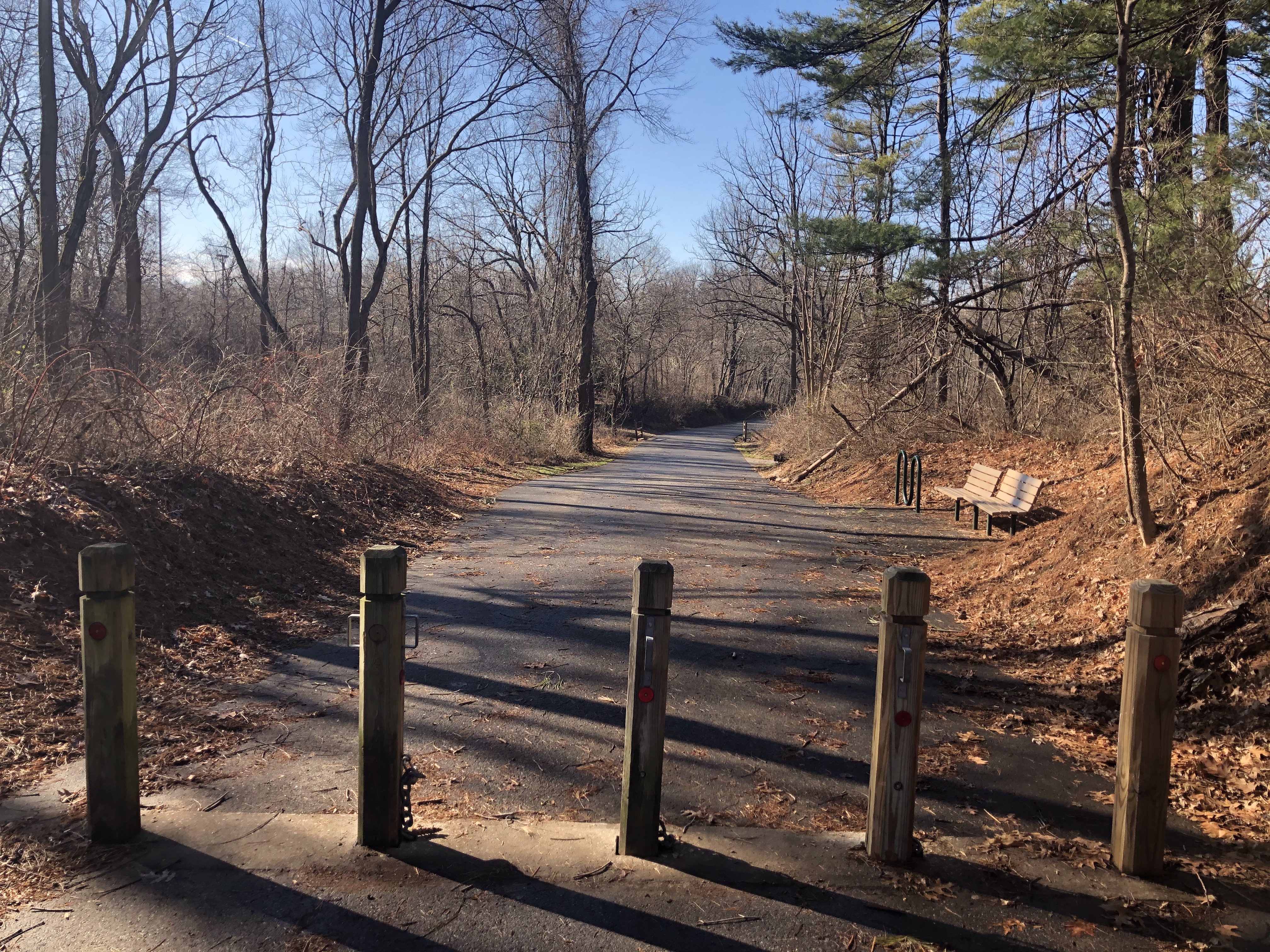
It is a very a popular trail being an easy one and close to several parking areas. This last part is sort of uneventful except the loads of people we encounter. It’s a nice cool down period for us. Have to stop several times letting people and their dogs pass by. If you would look on AllTrail you would see 4-5 tiny loops on this stretch marking when we stood on the side of the path doing just that.
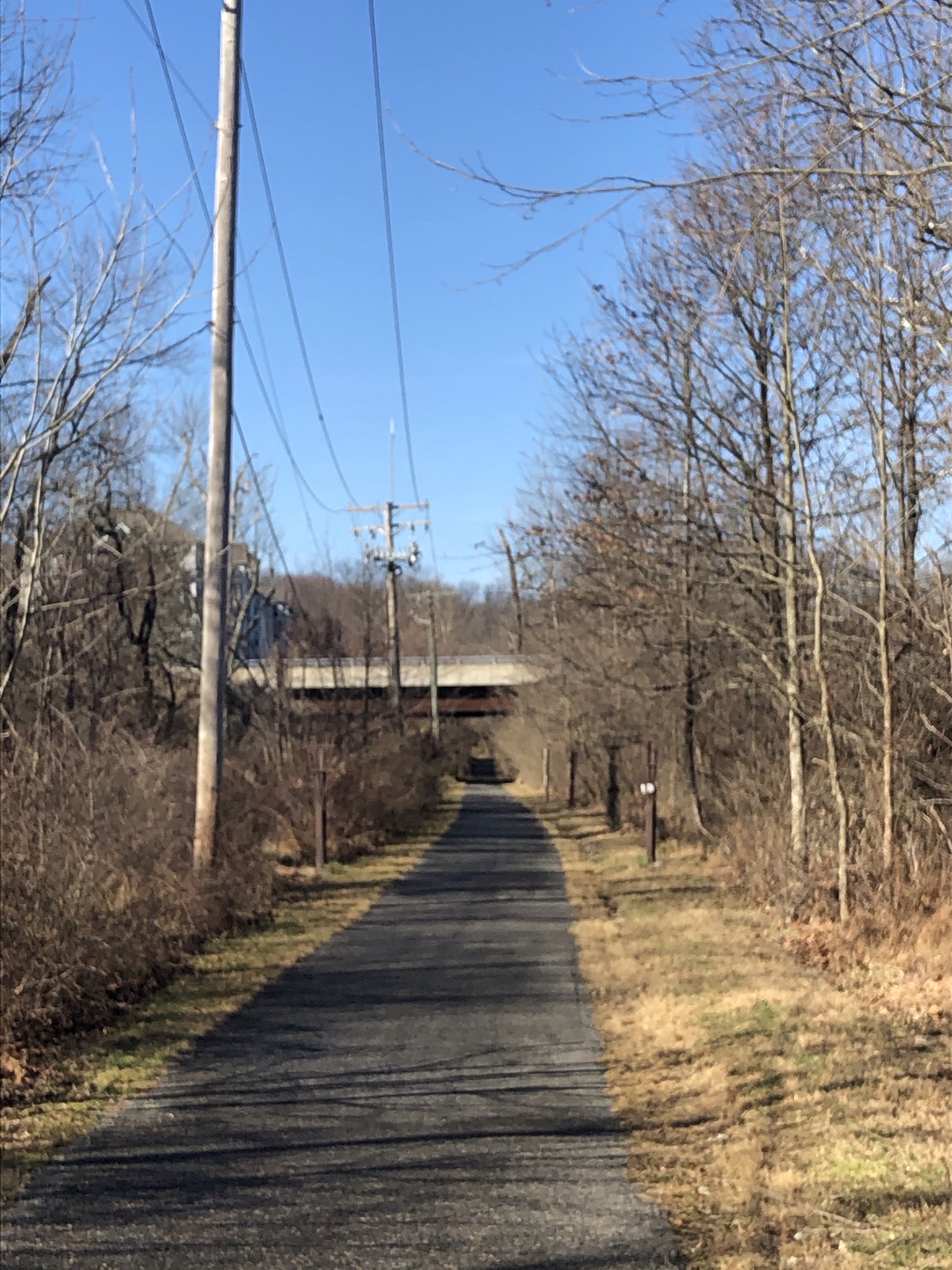
After crossing the Visitor Center’s parking lot – I took several pics here but I cannot find them – the trail becomes wide and straight for a bit.
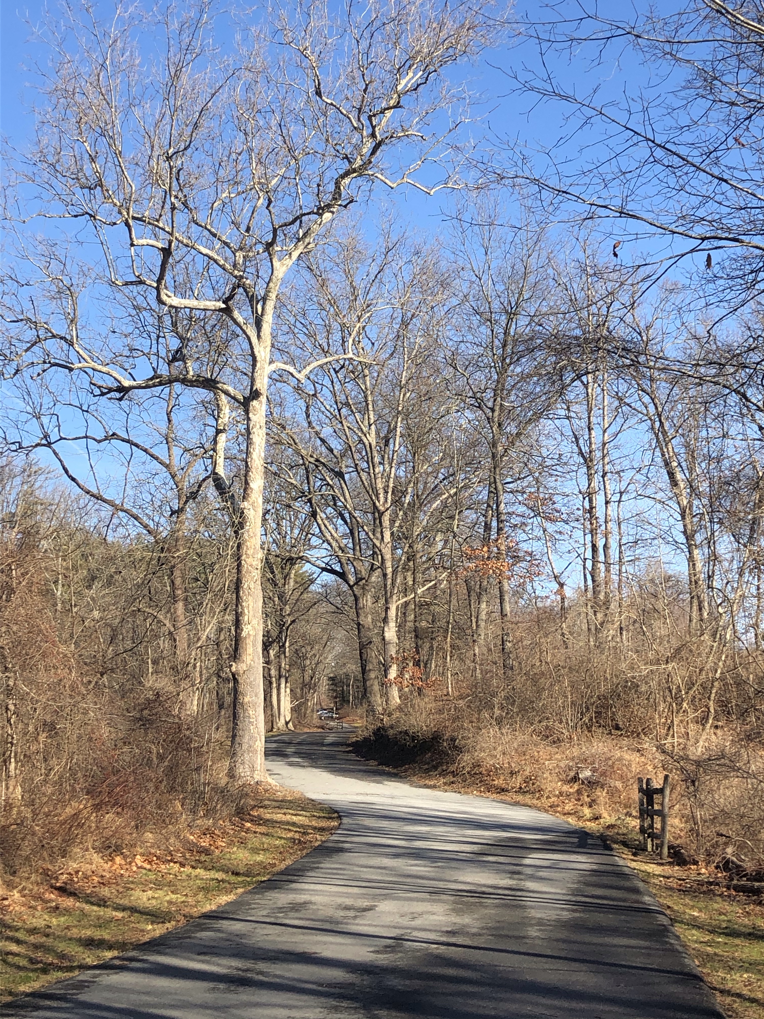
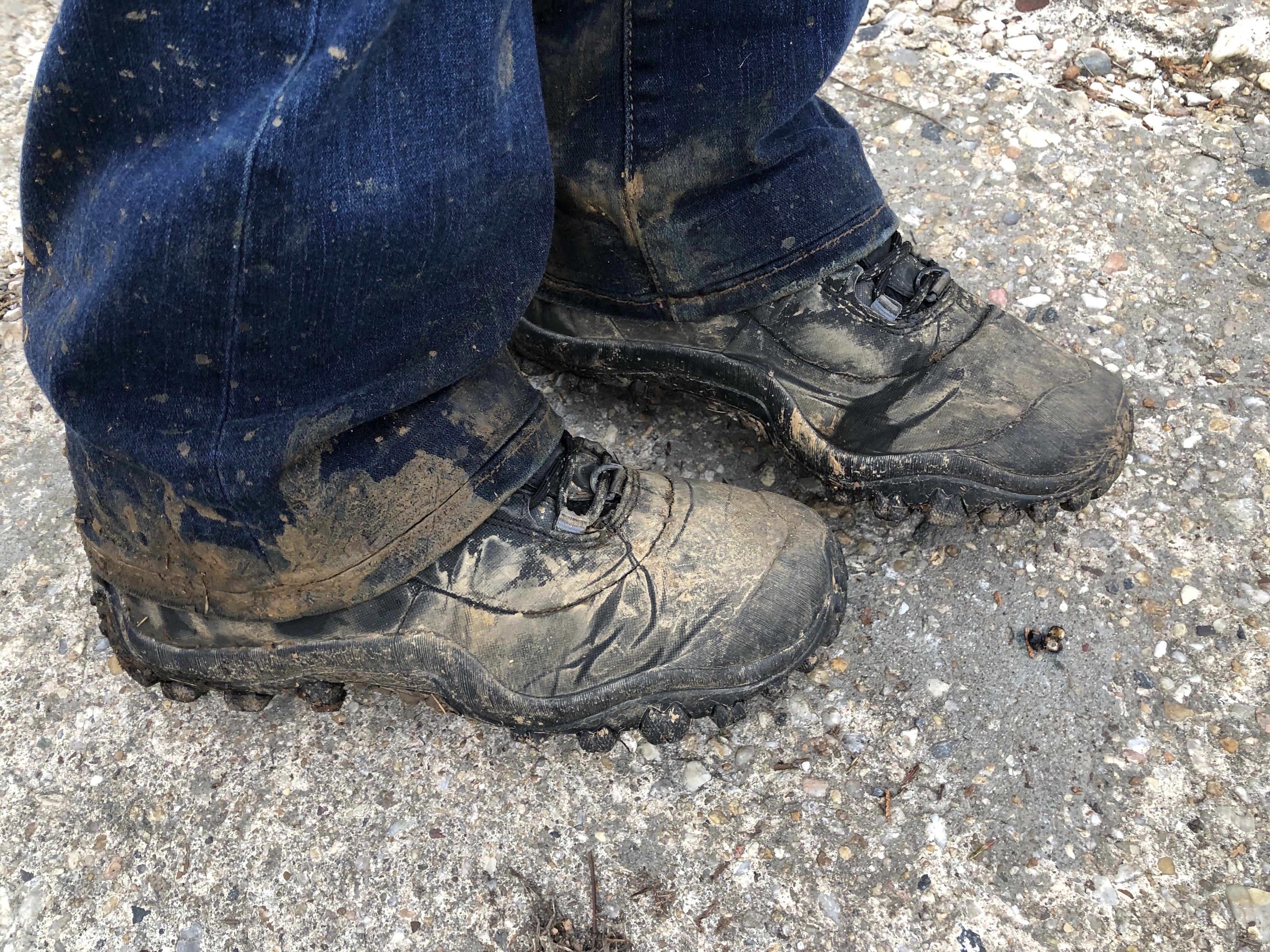
At one point – maybe the Visitor Center? – the trail became white/red from orange. This last portion of our adventure is another mile and follows Foxville Rd. When we finally reach our car this whole area is full of cars parked everywhere! After I clean off Mag and I change into my everyday shoes, we are ready to hit the road!
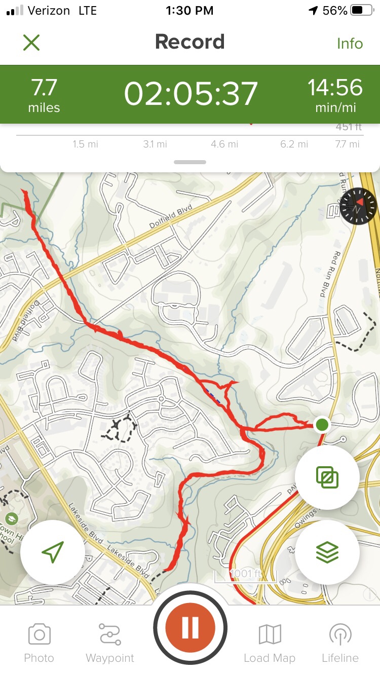
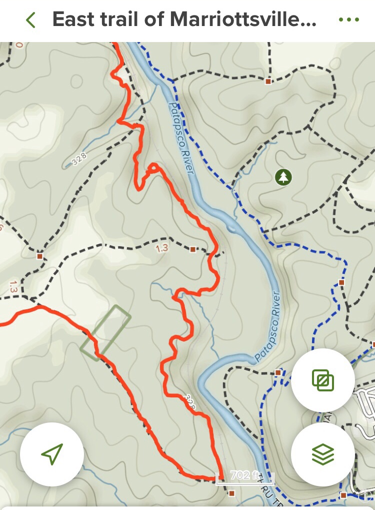
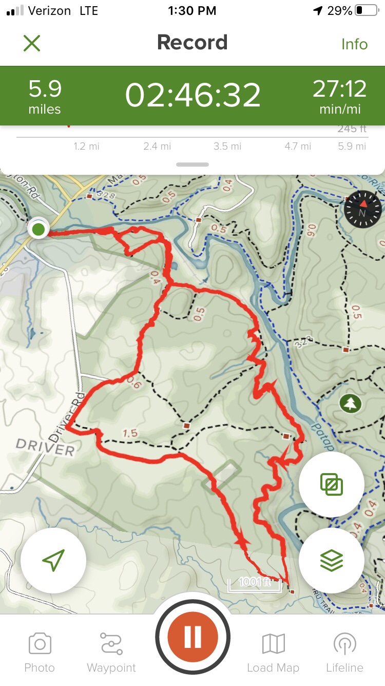
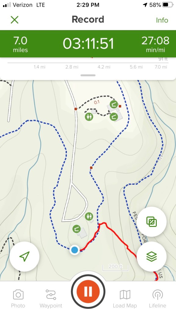
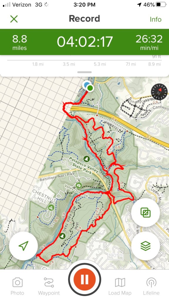
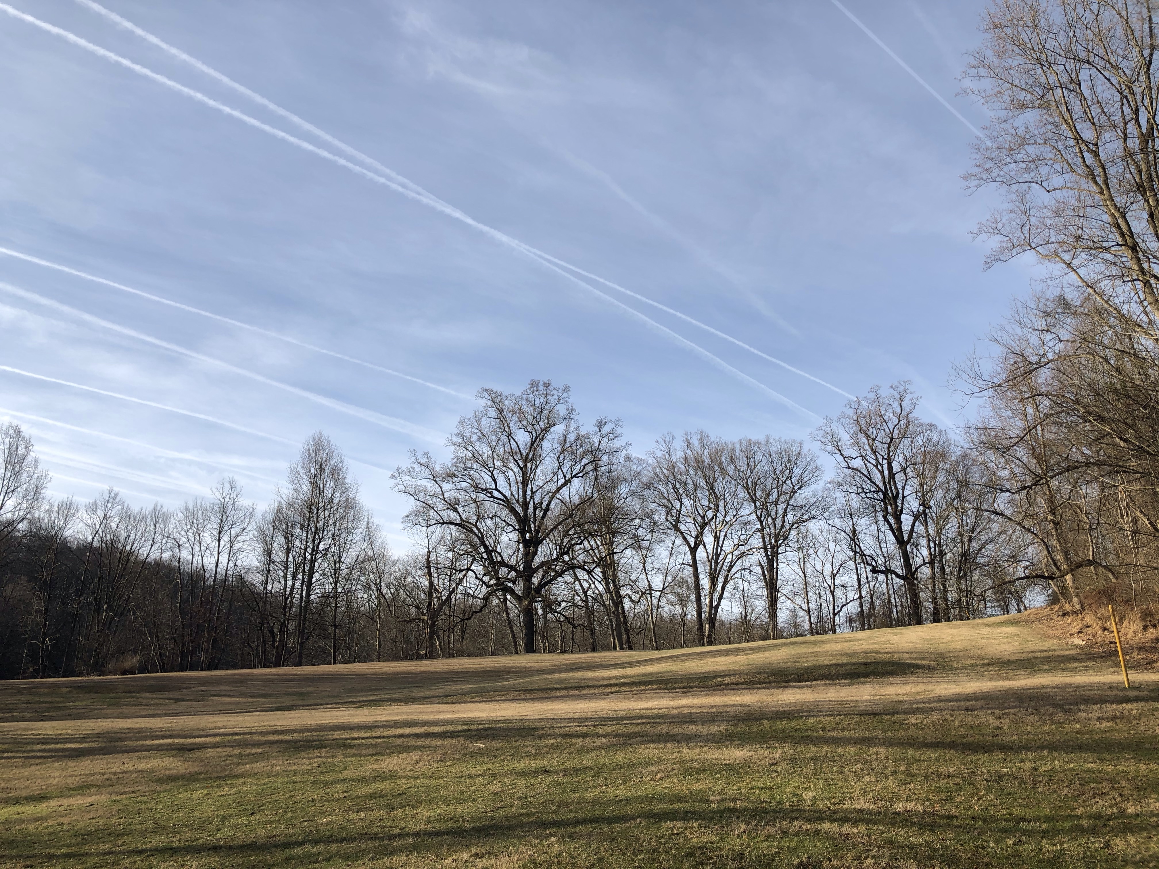
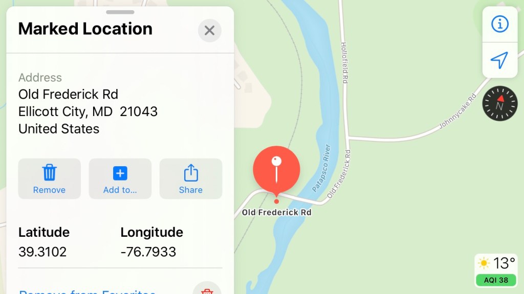
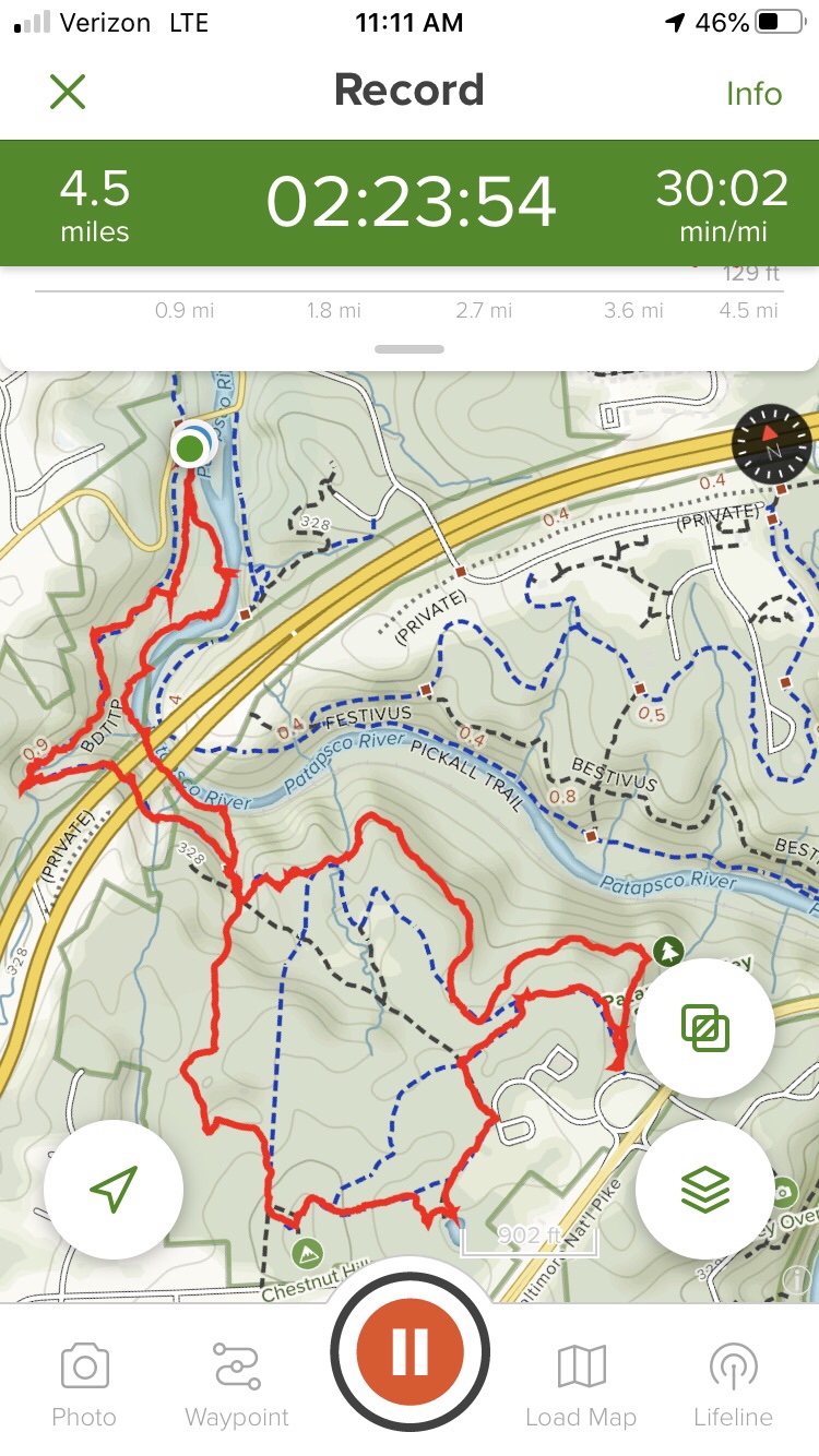
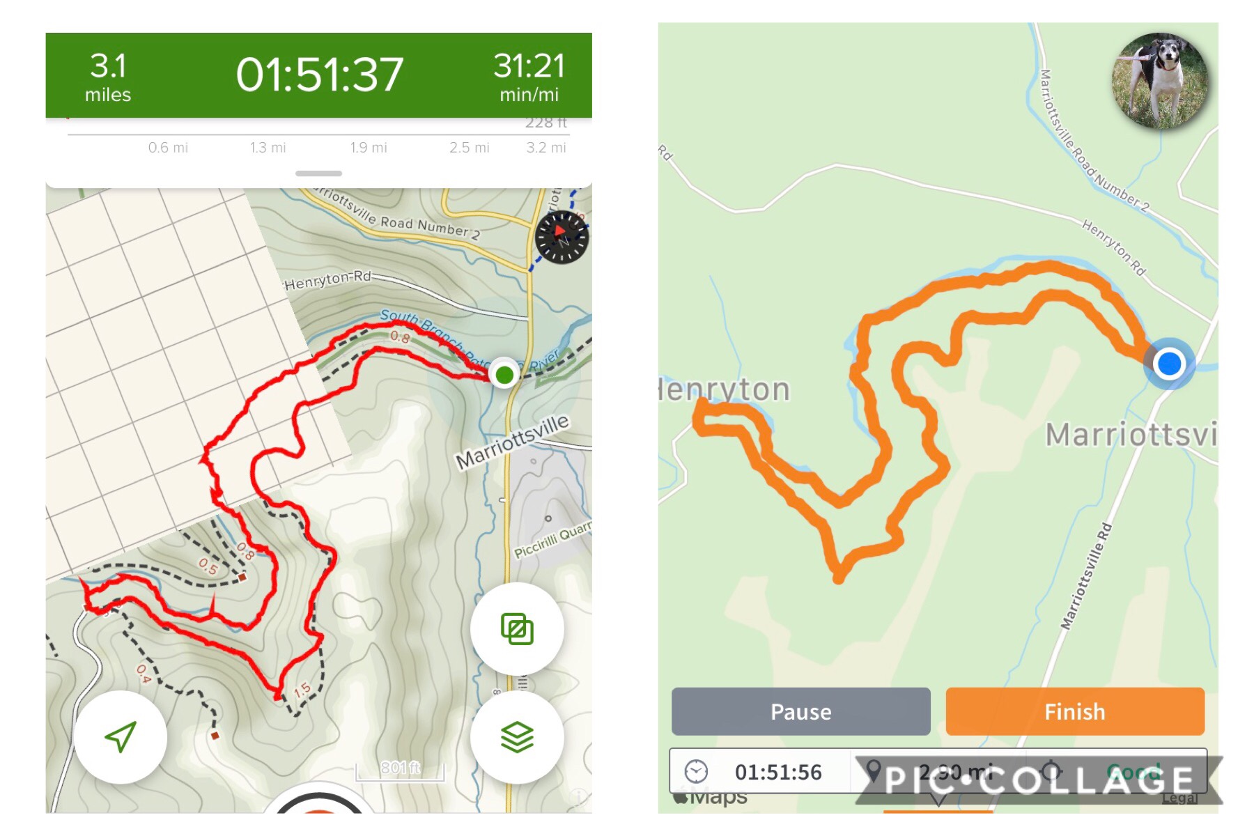
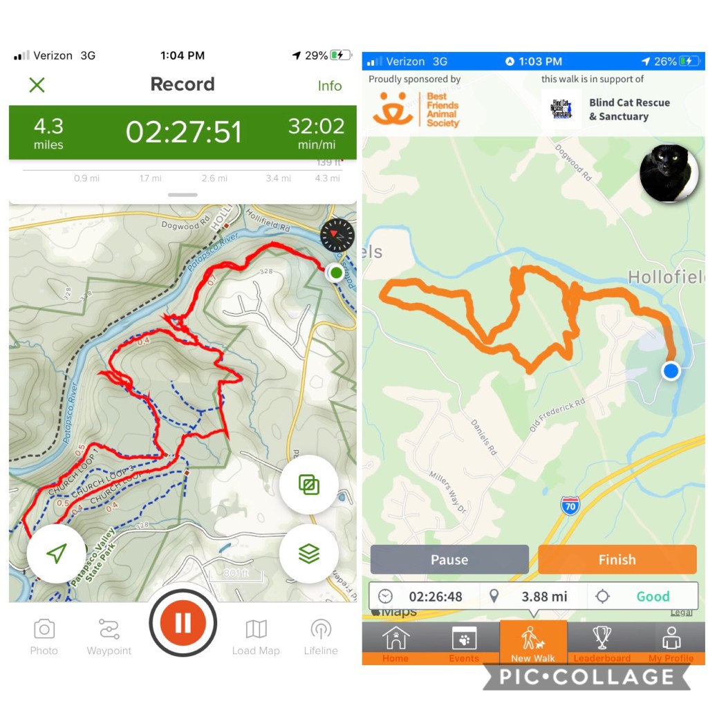
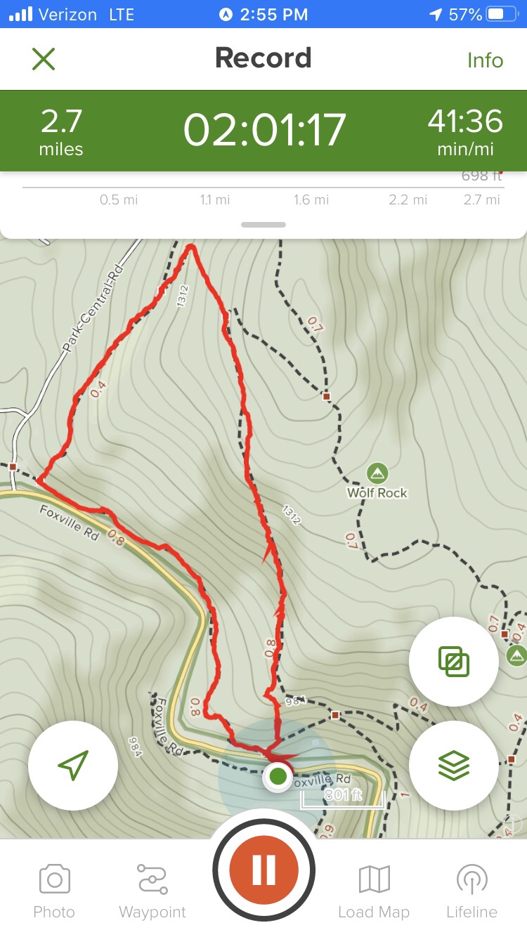
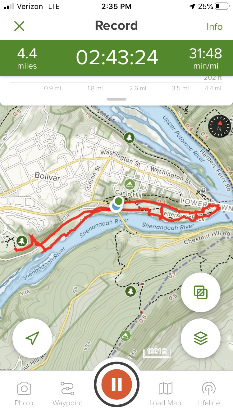
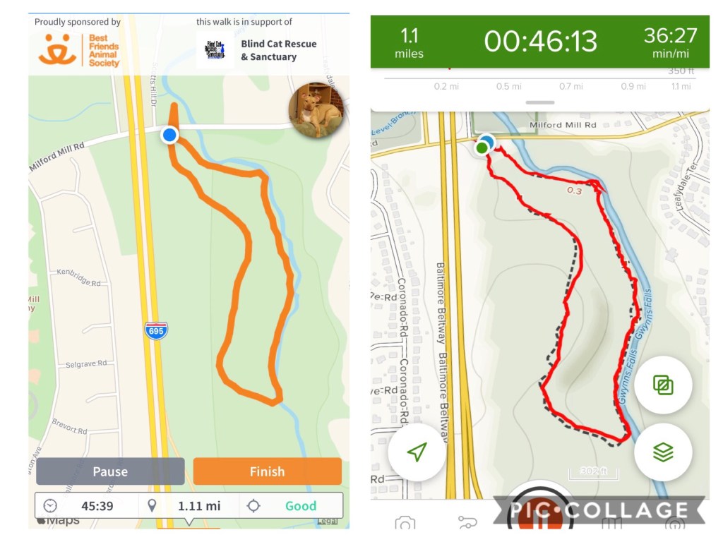
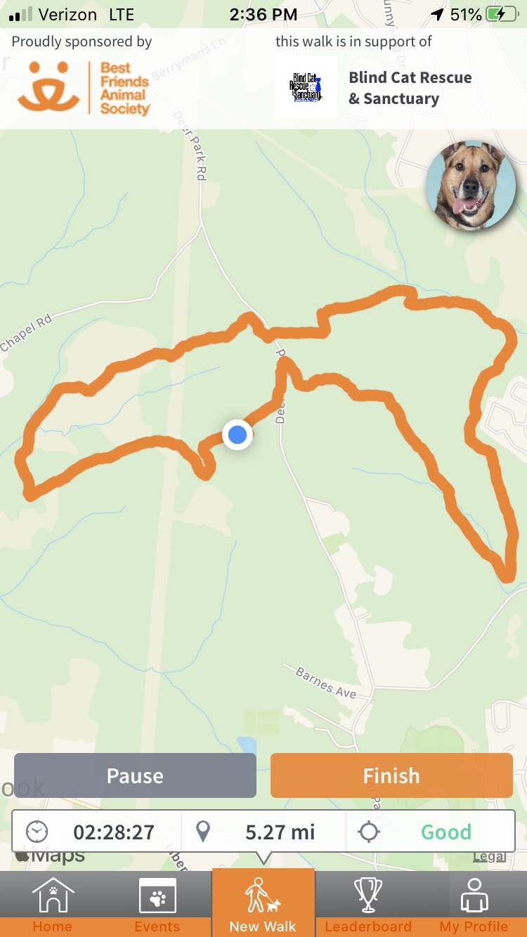
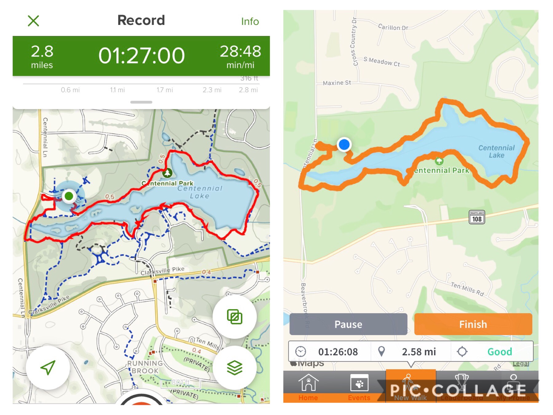
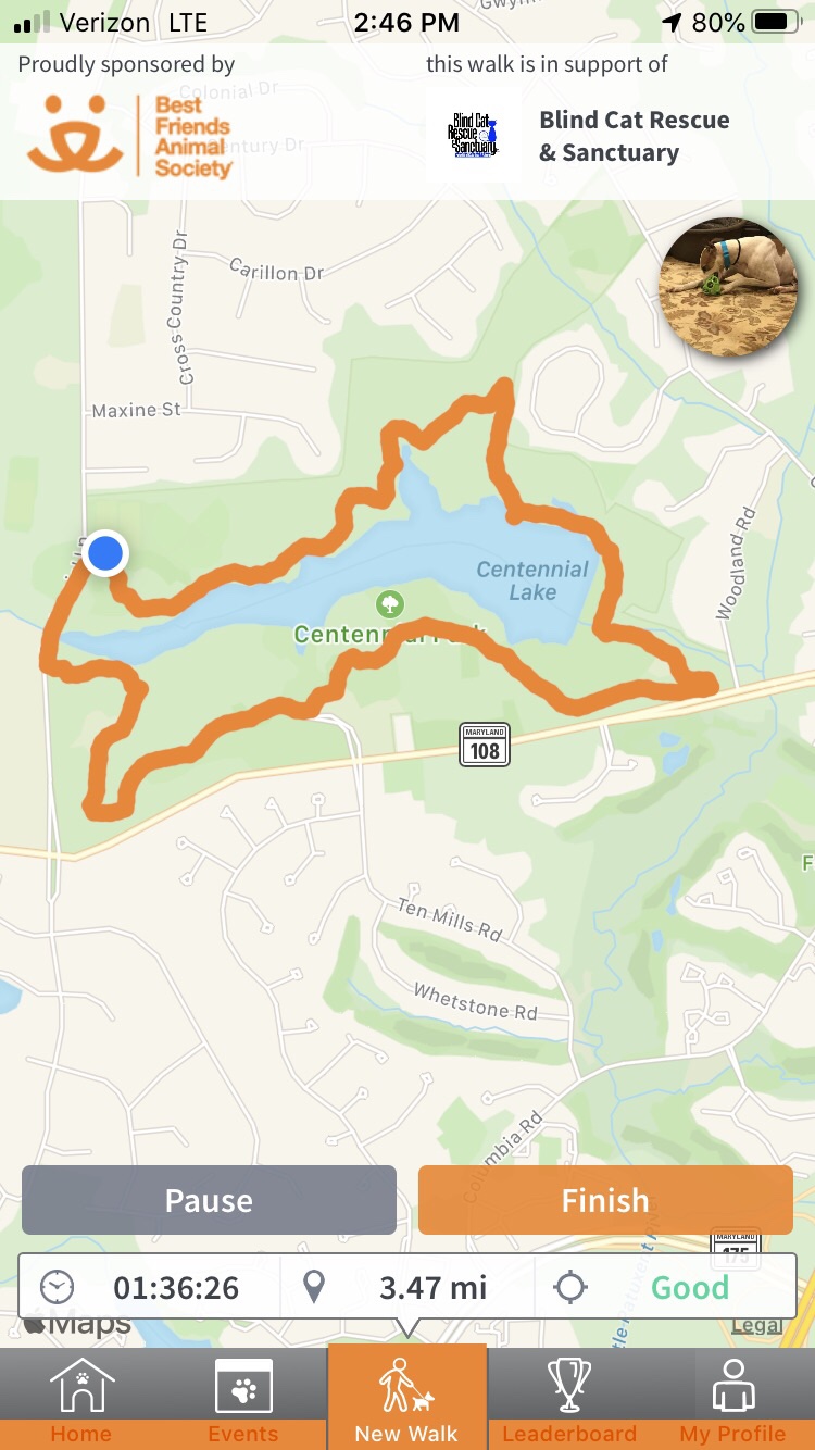
Here is our map….

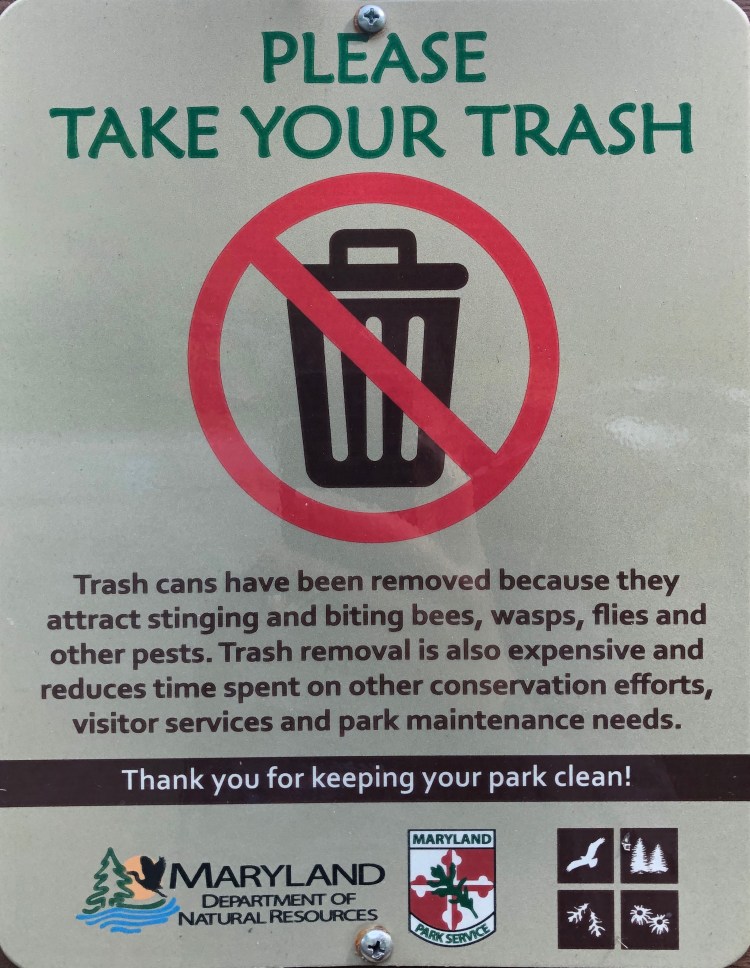
Hope to see you out there! And don’t forget!


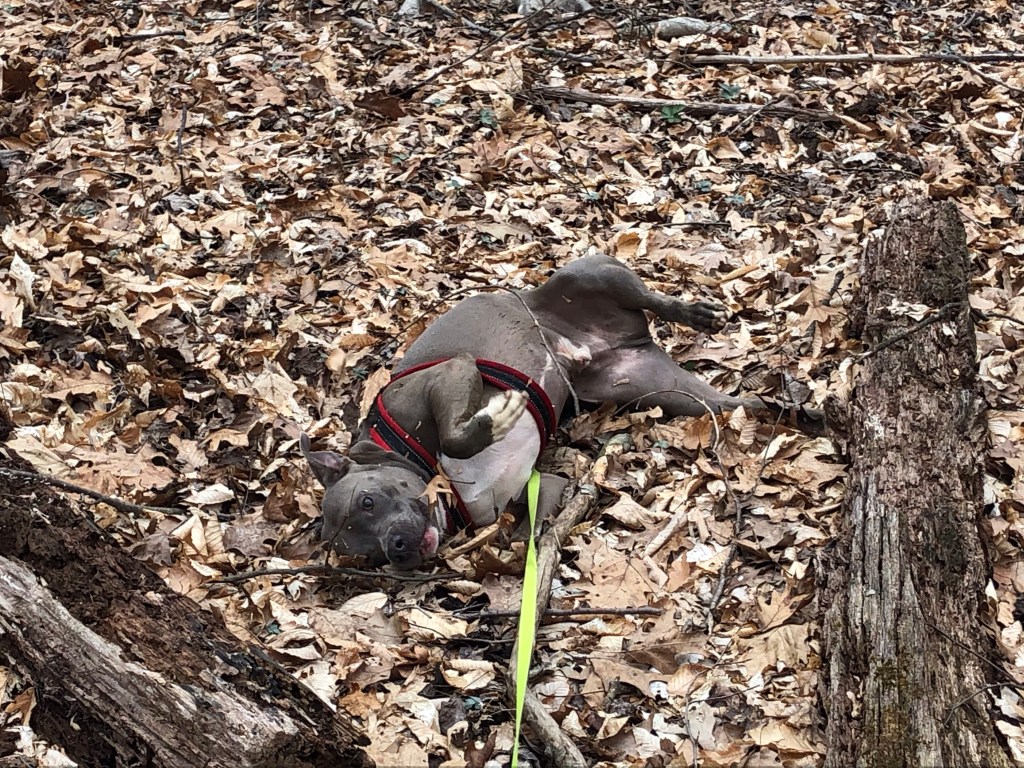


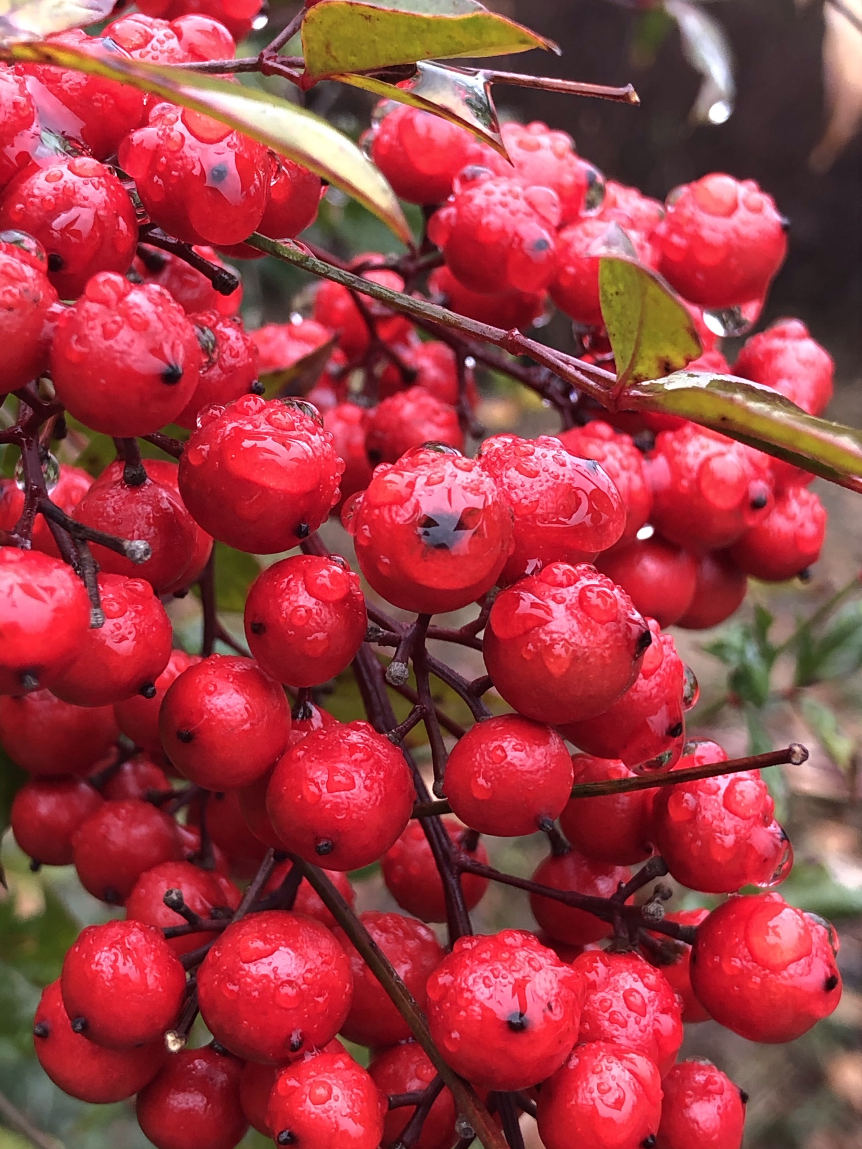

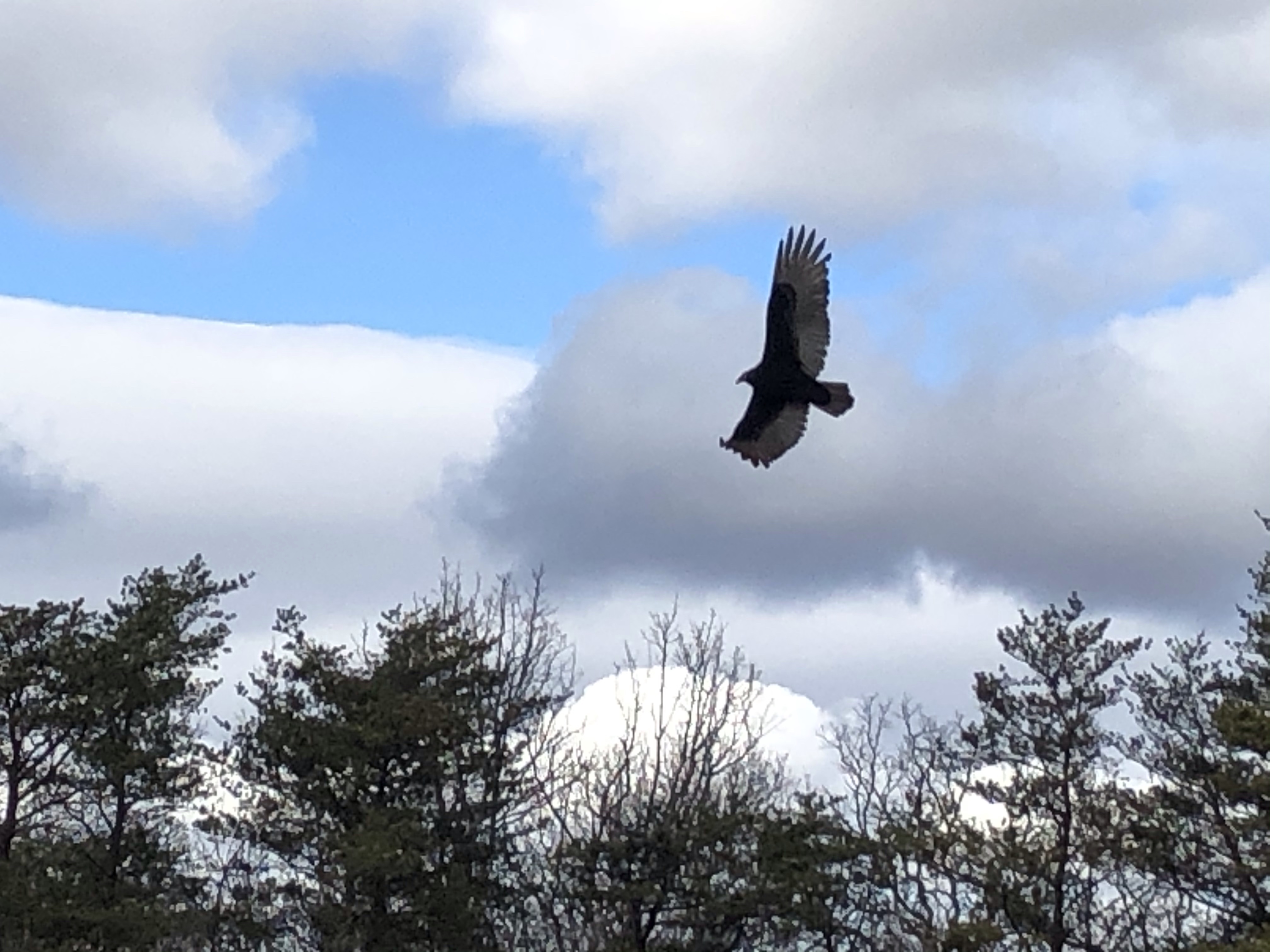
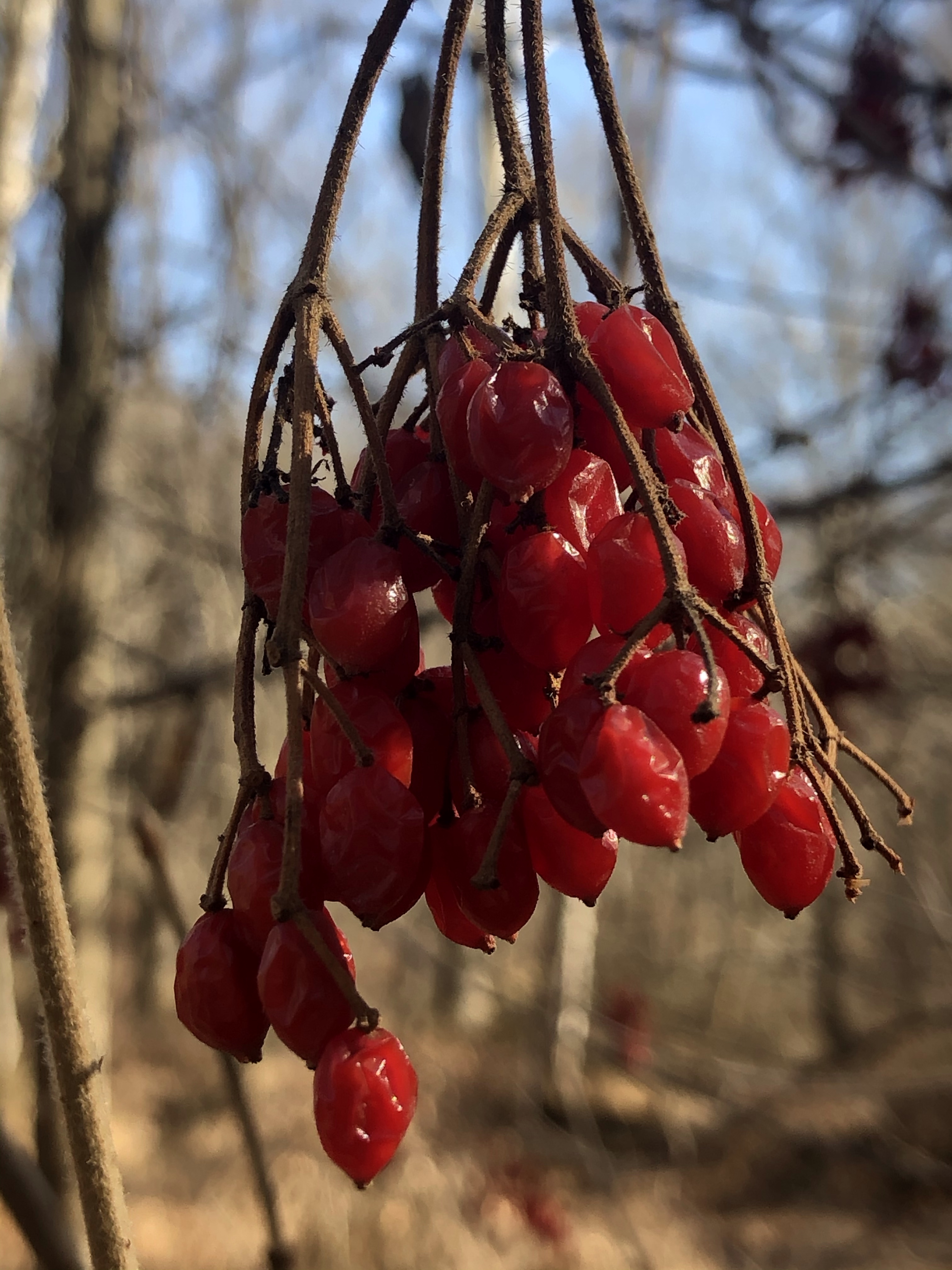
 ….while I am being entertained by Blue Jays having an argument up on some tall trees. Mag takes the opportunity to get into trouble, rolling into thistle berries.
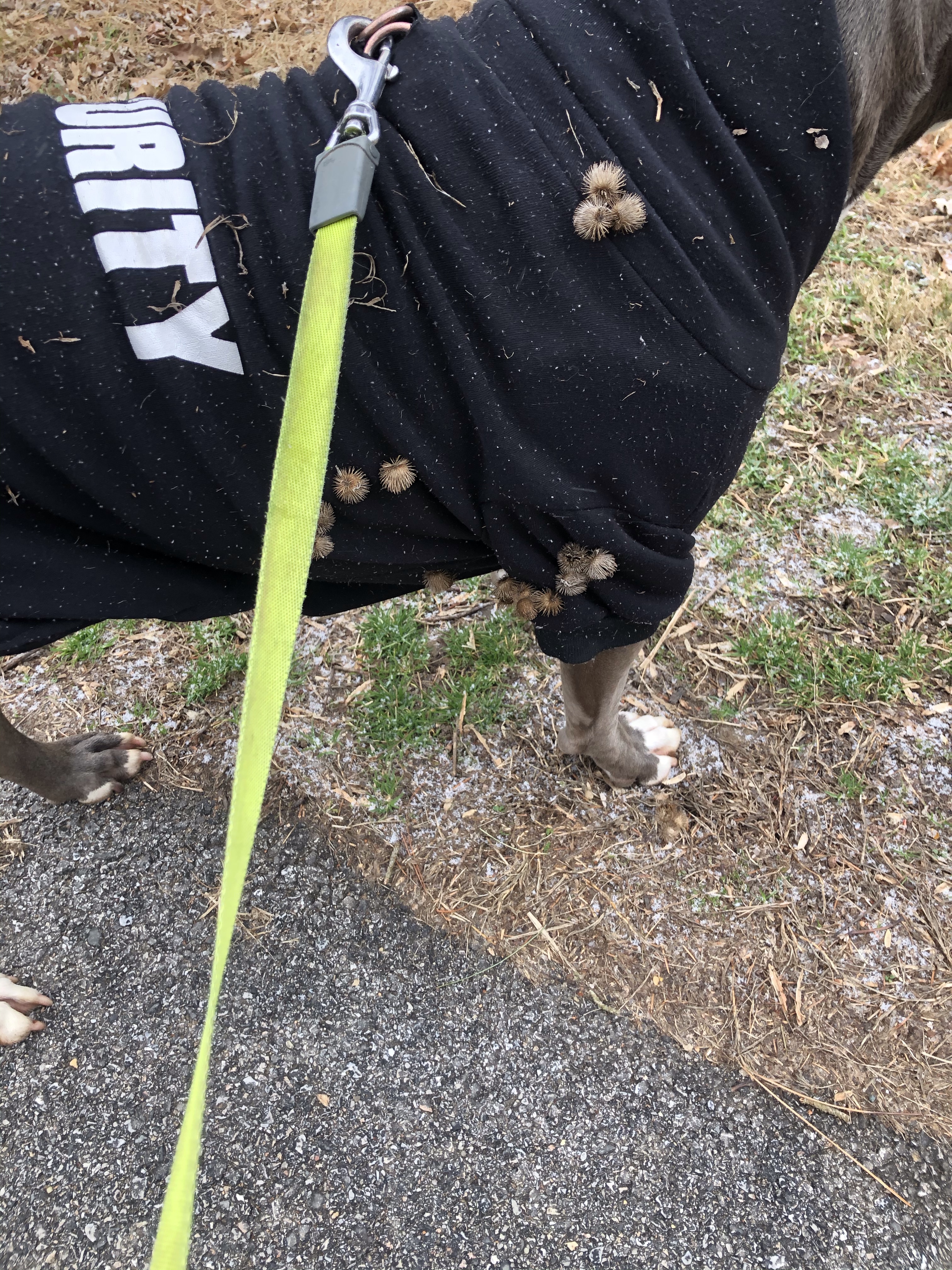
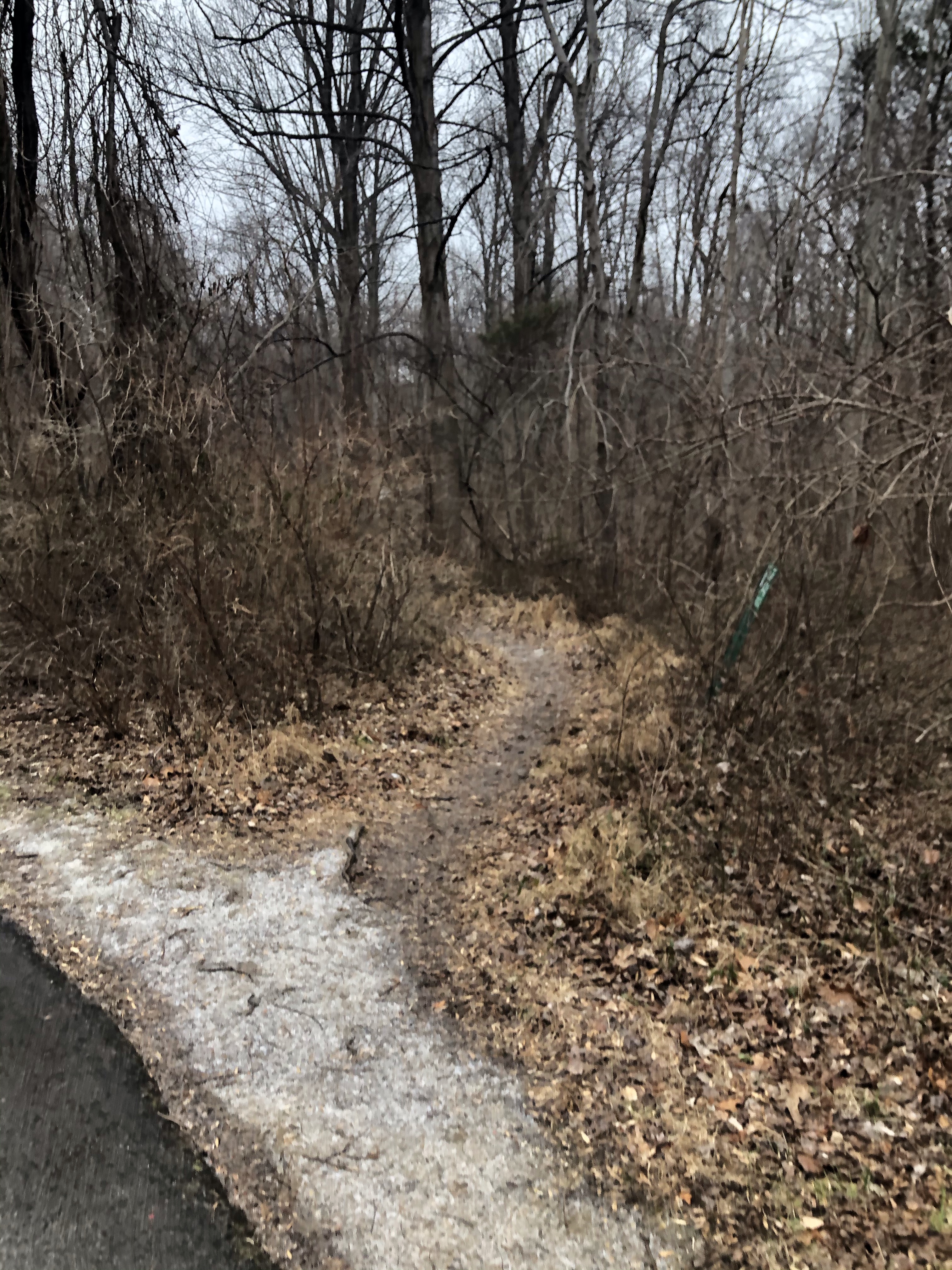
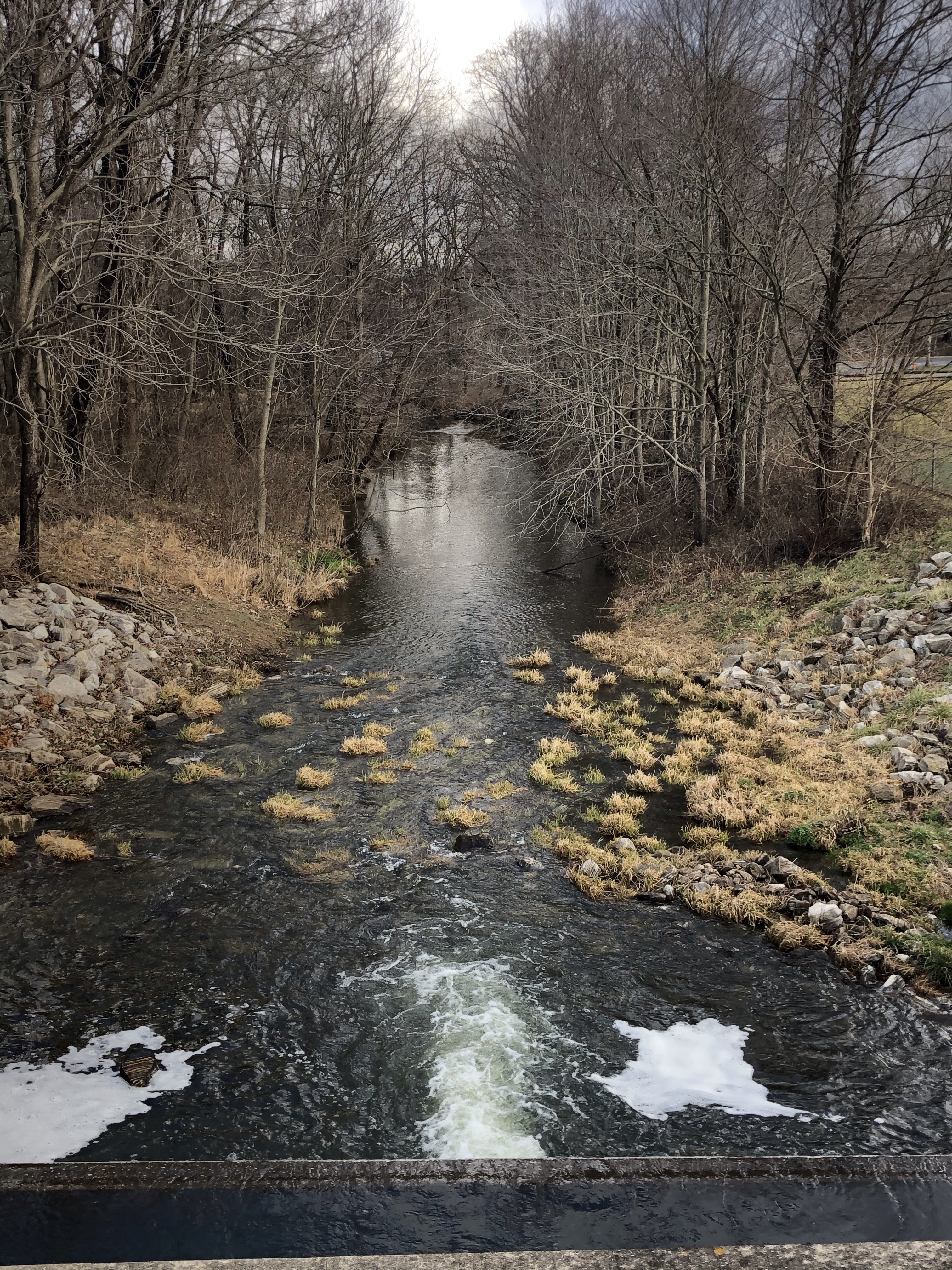
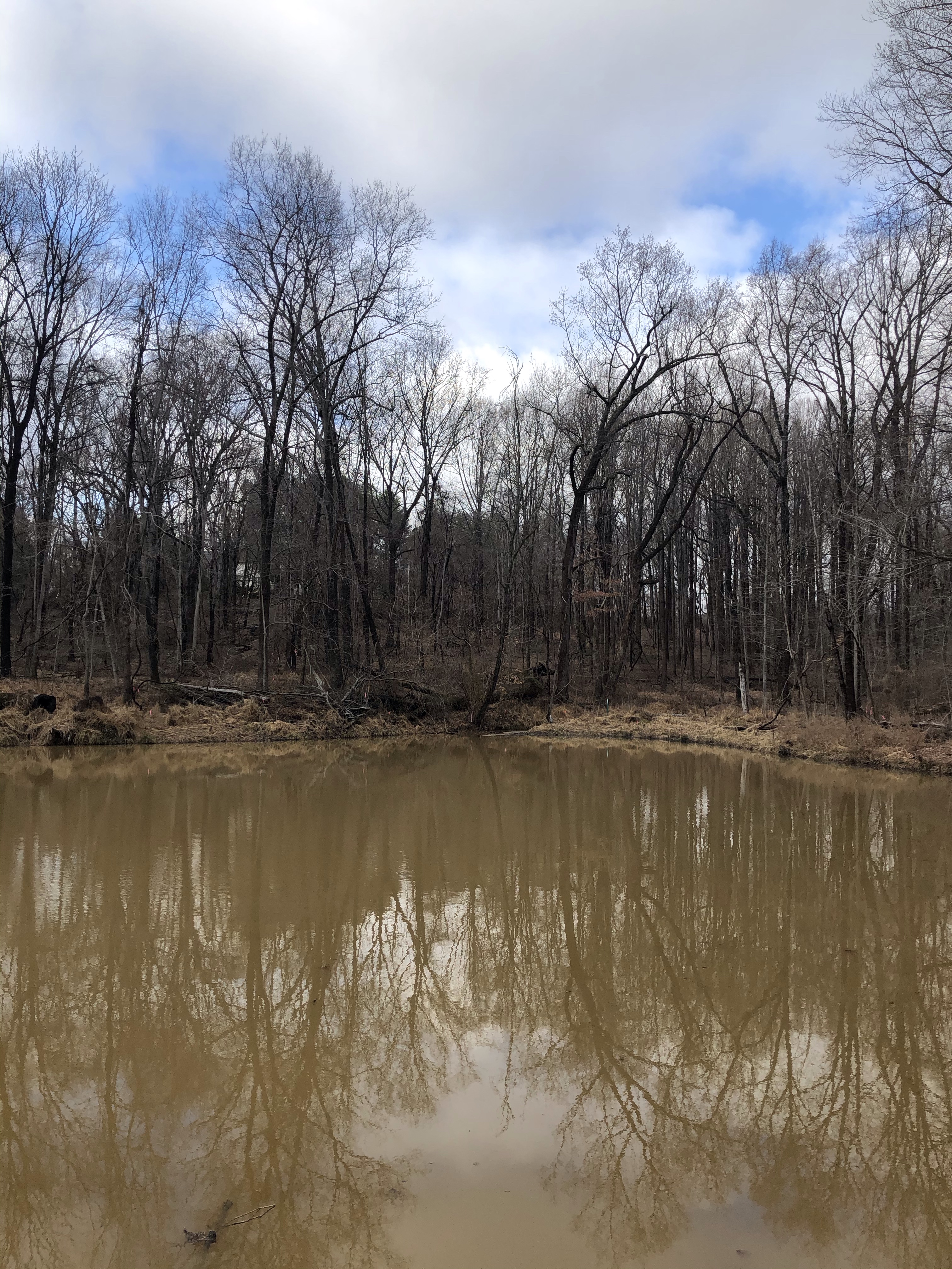

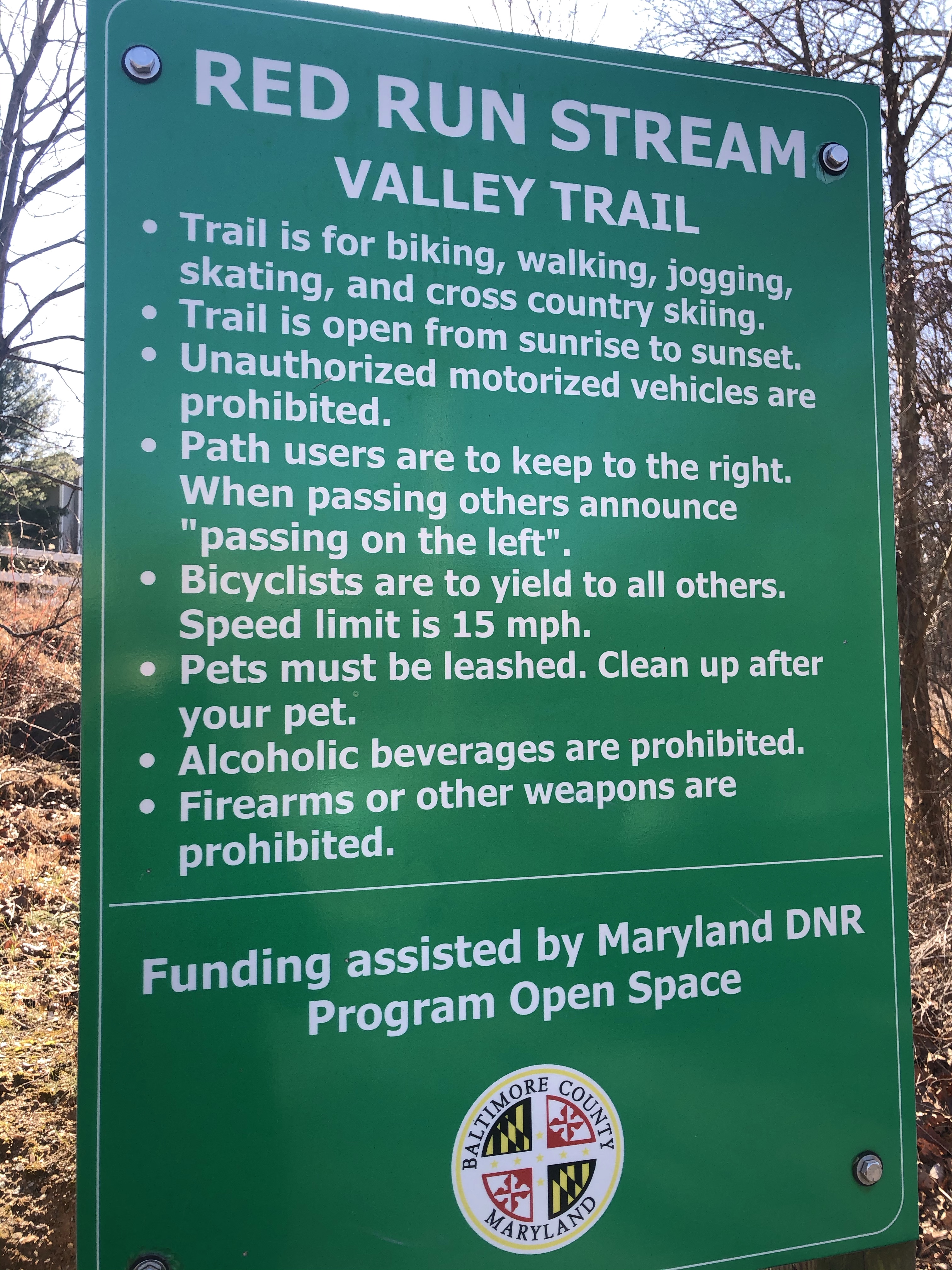
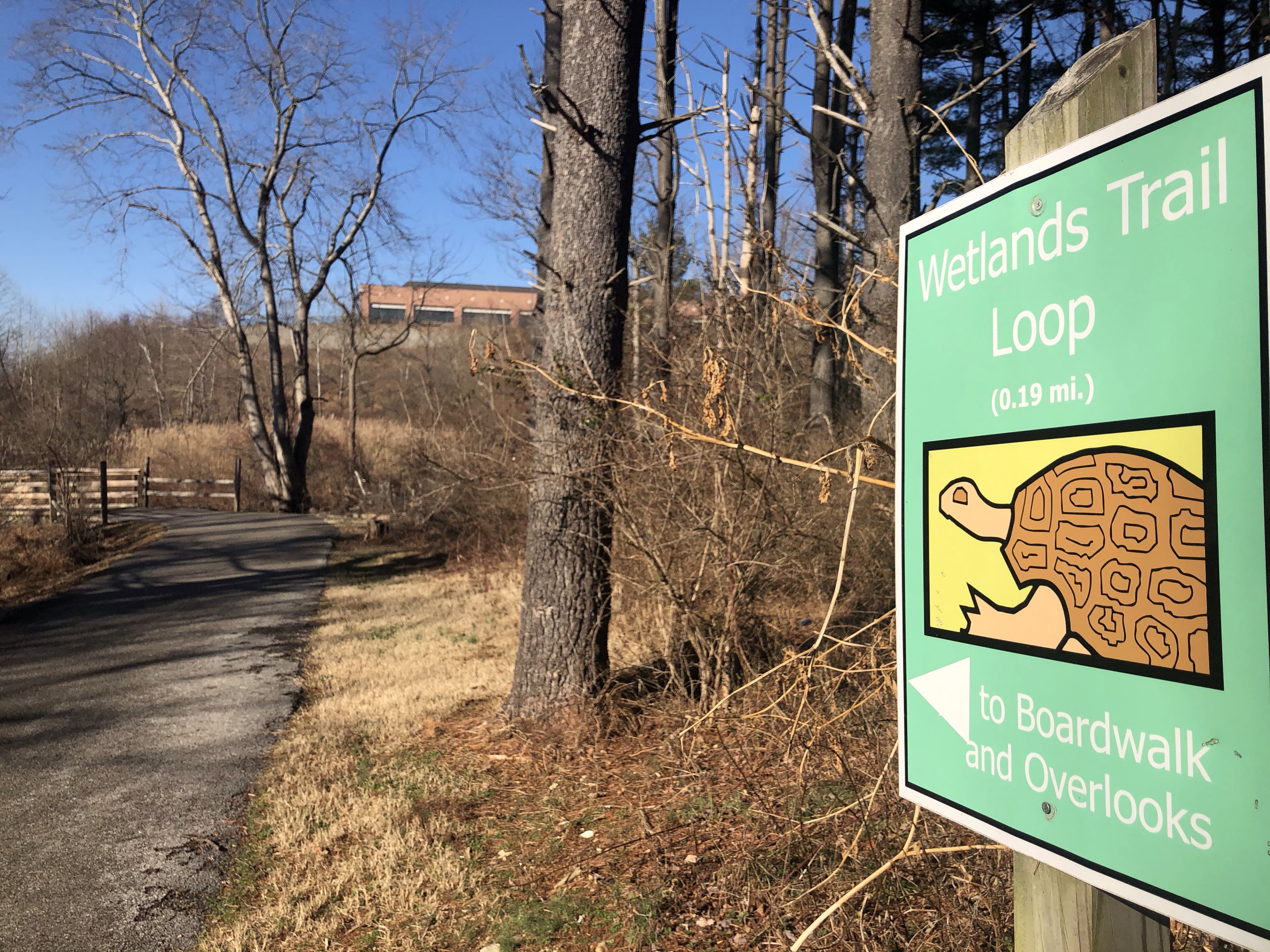
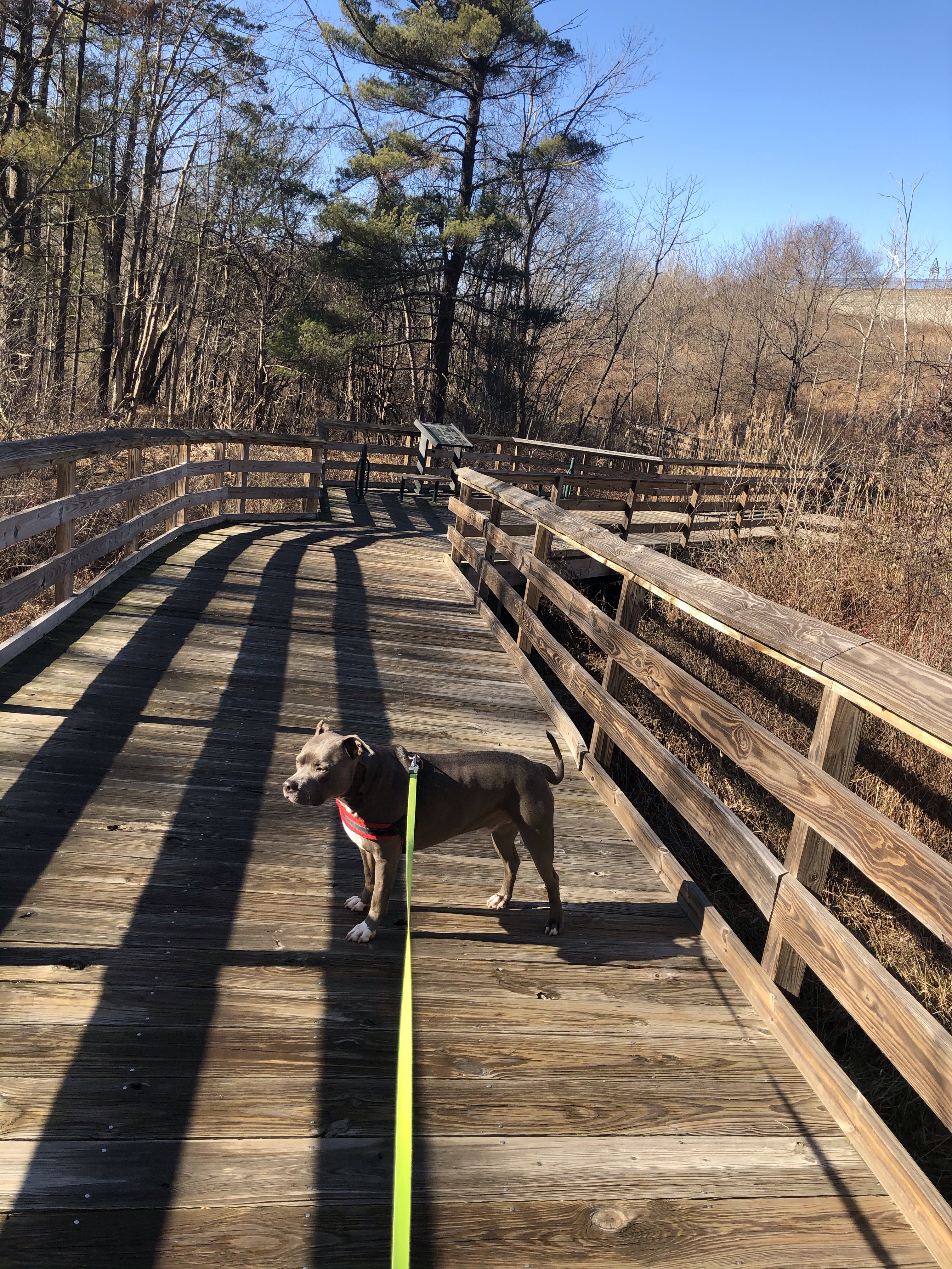
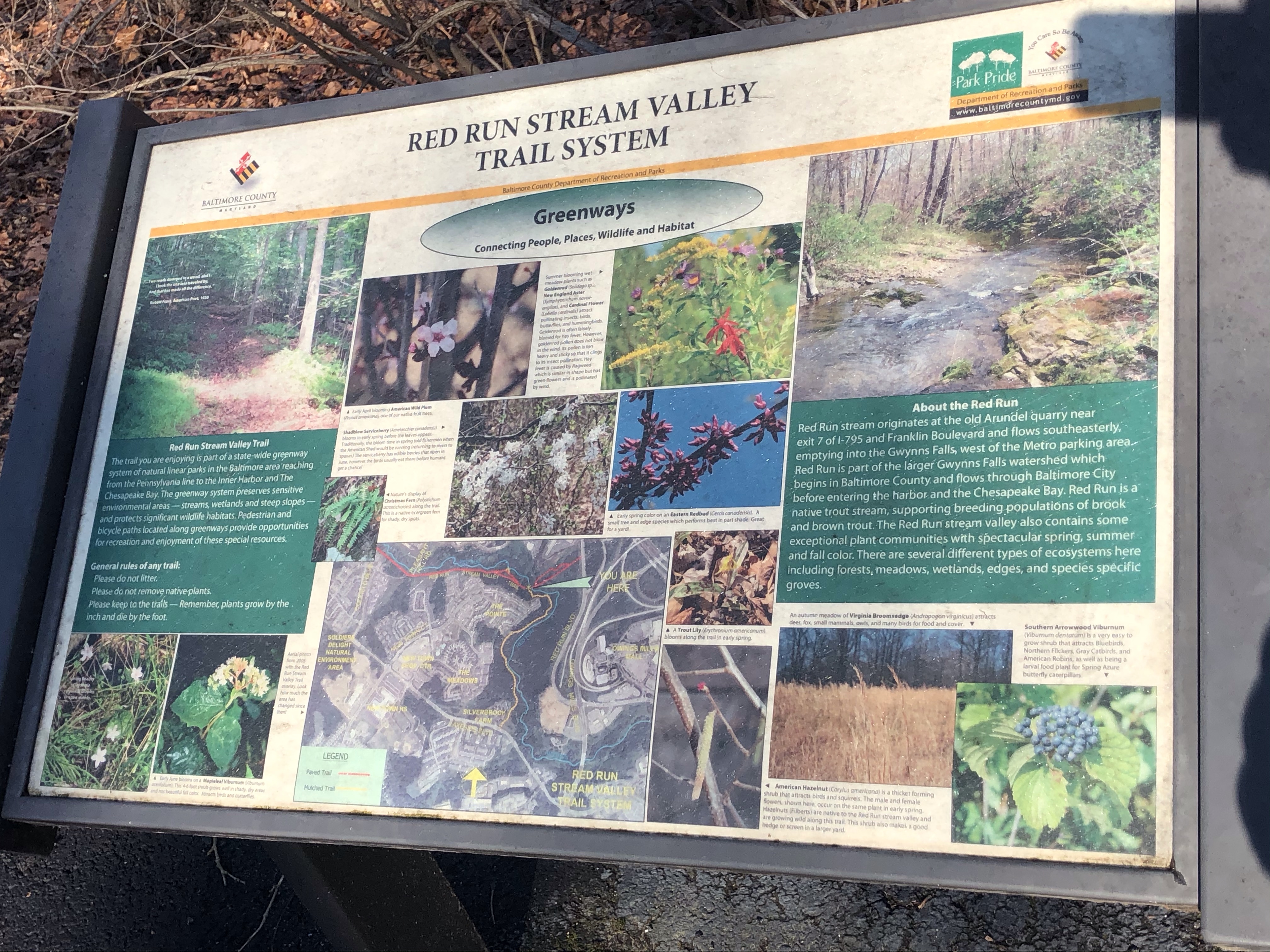
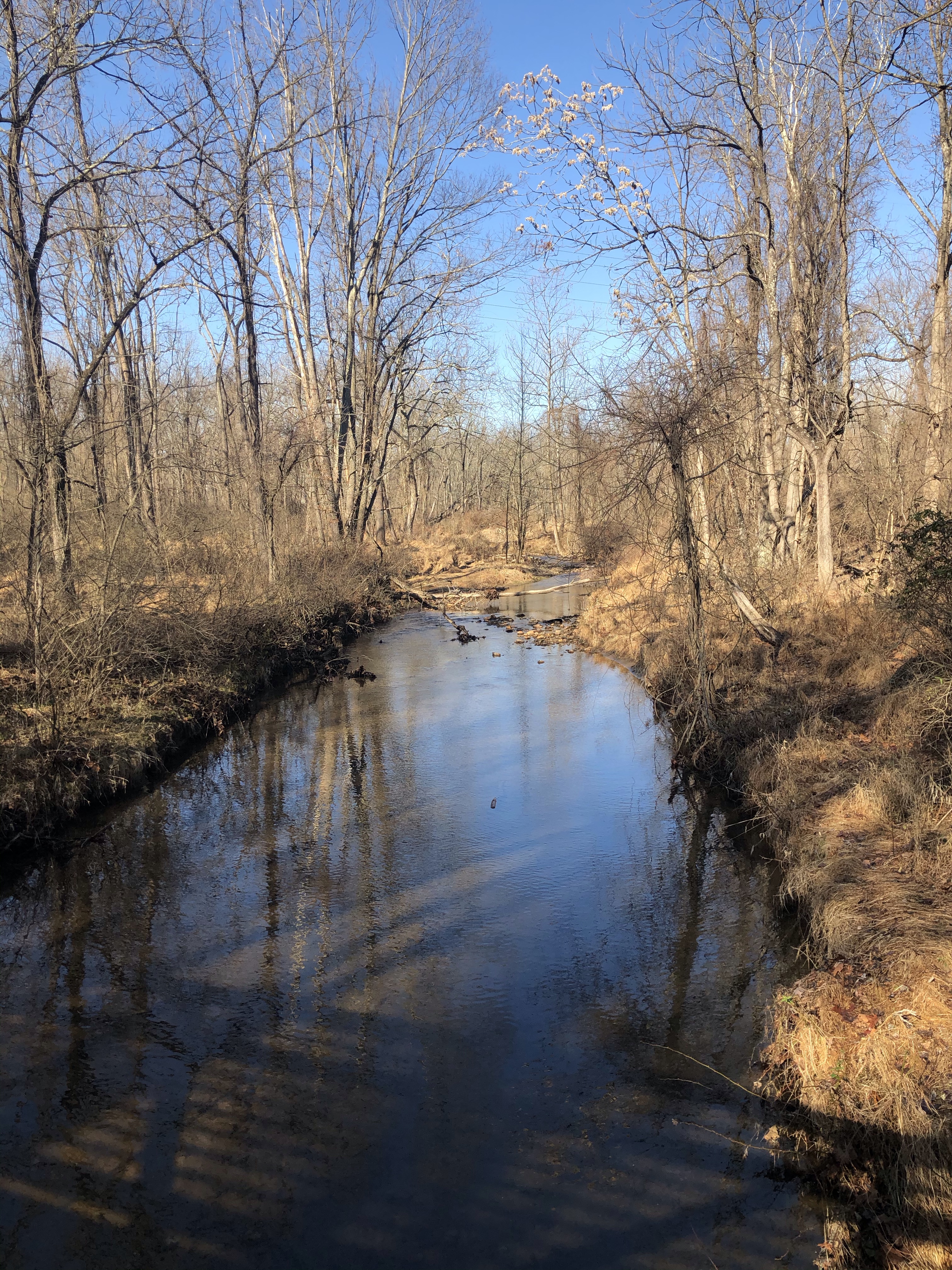
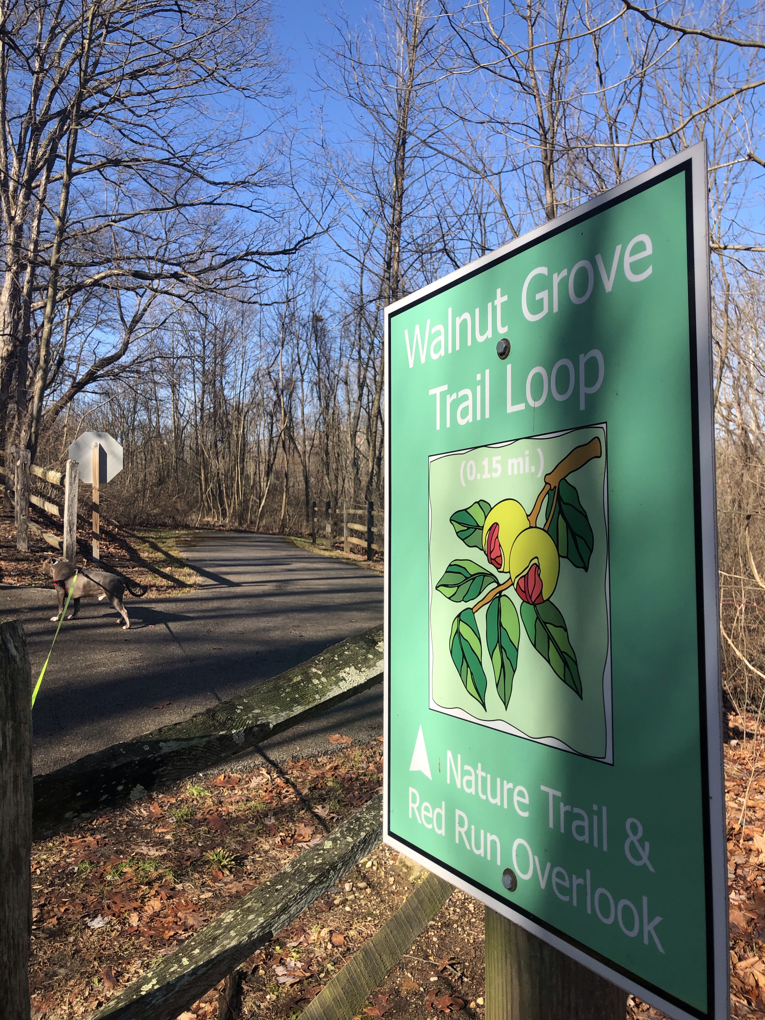
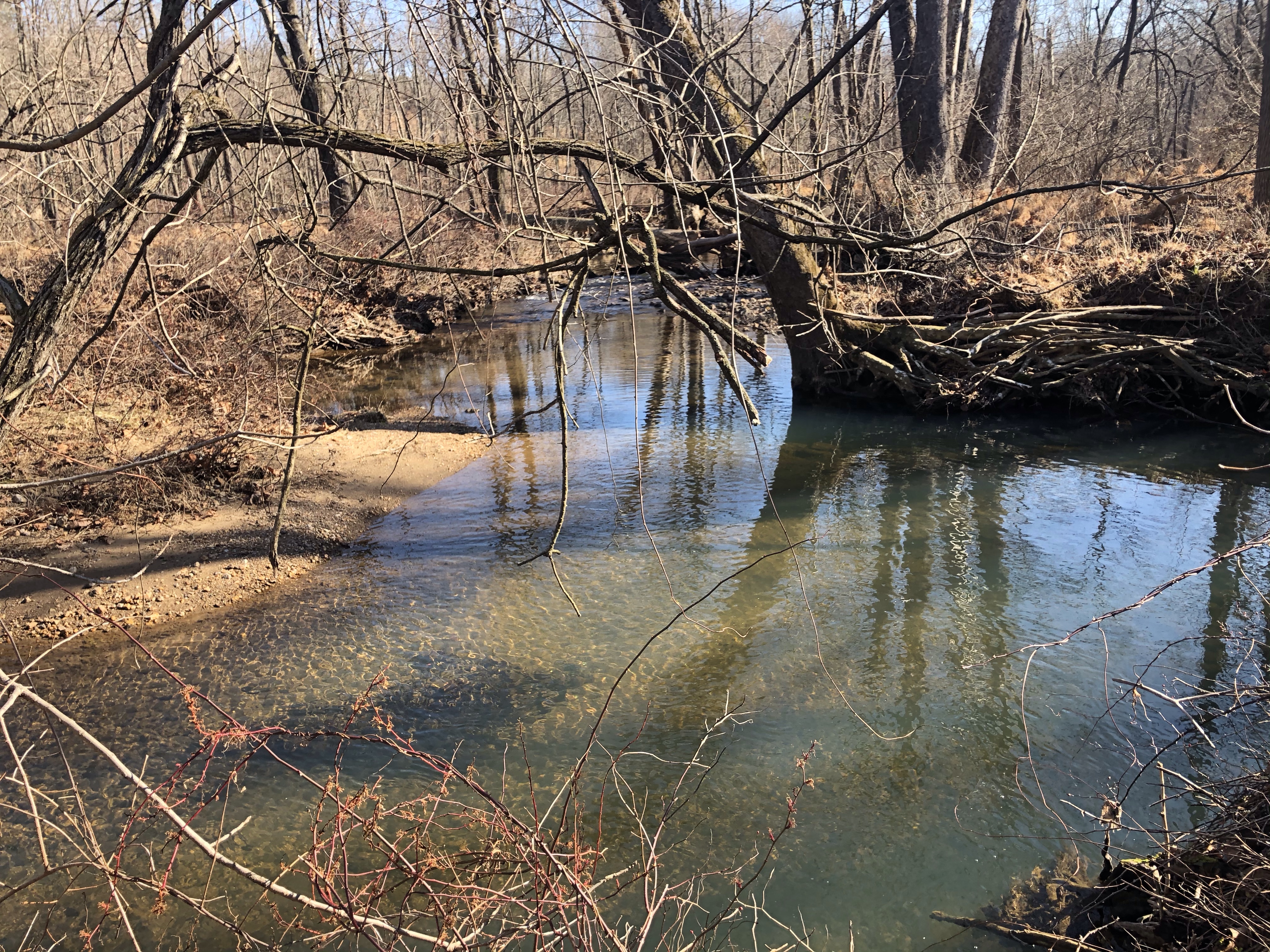
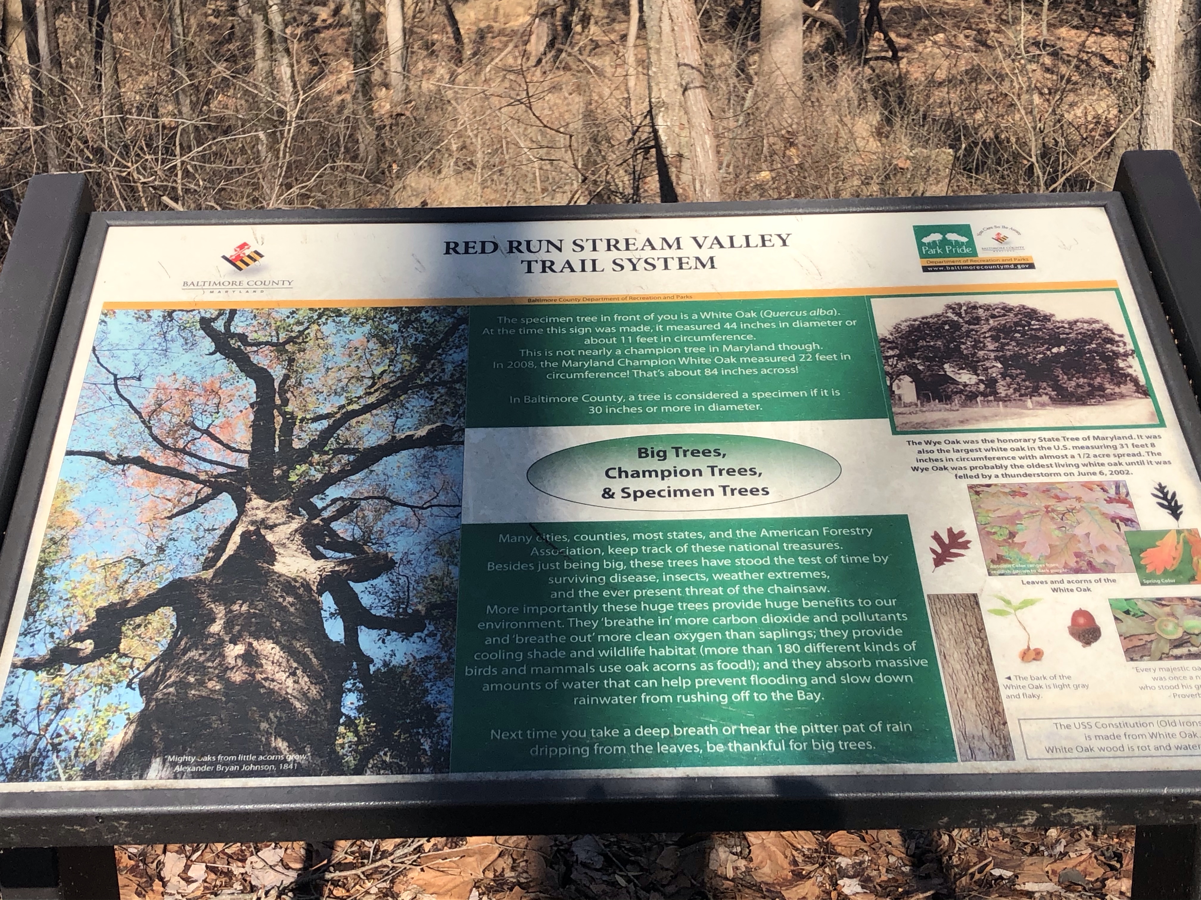
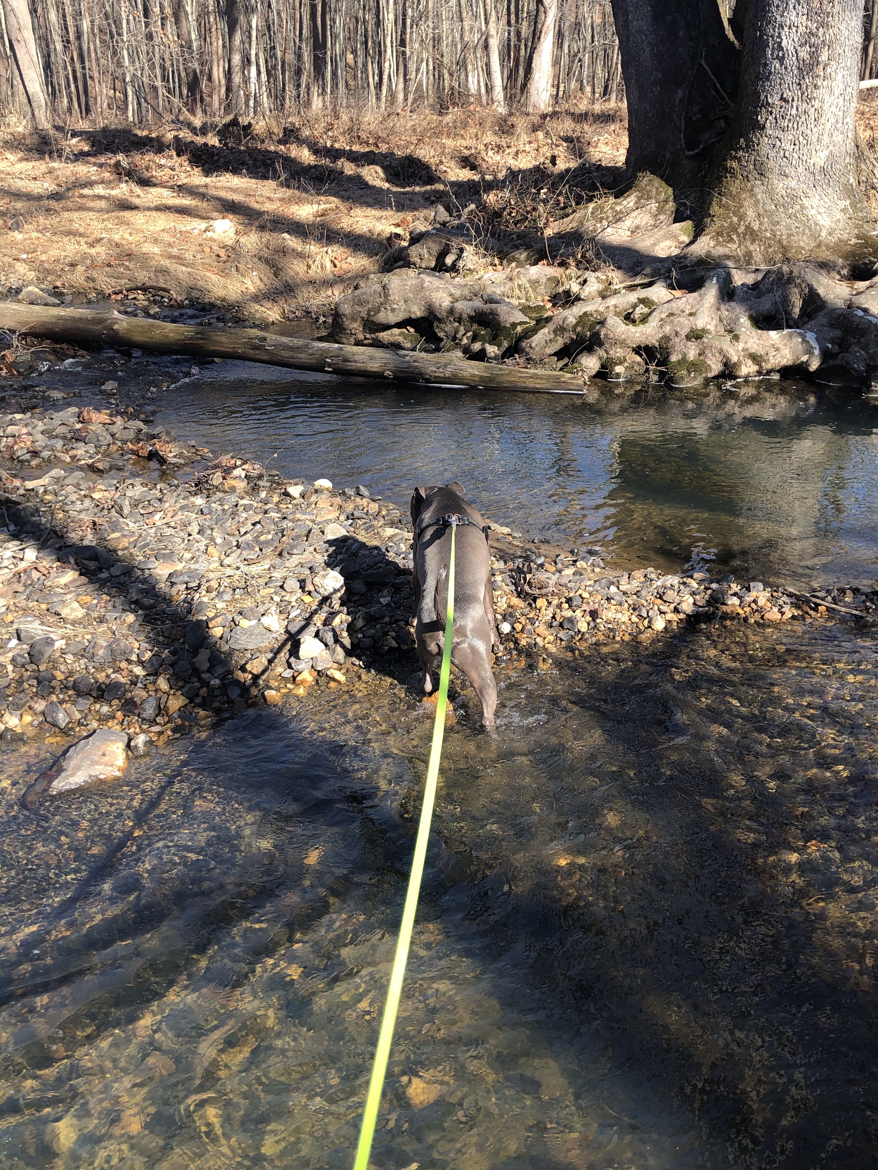
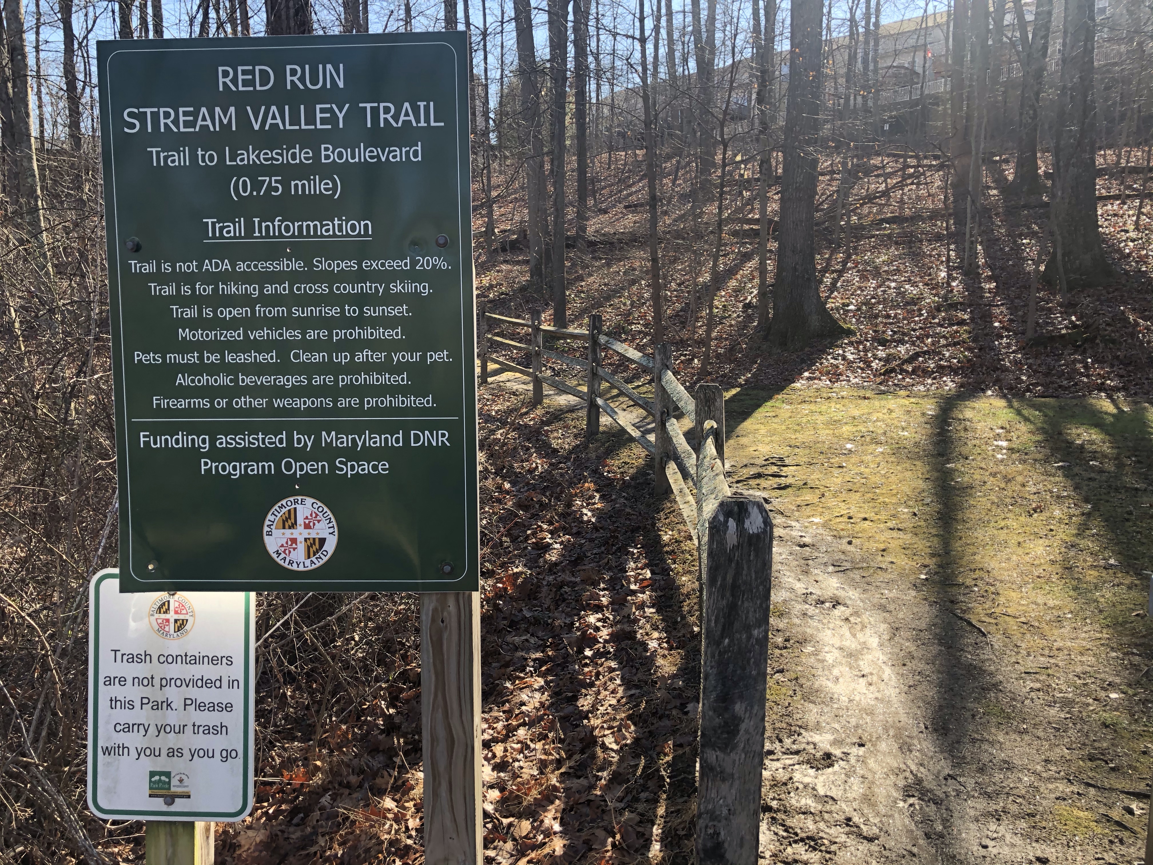
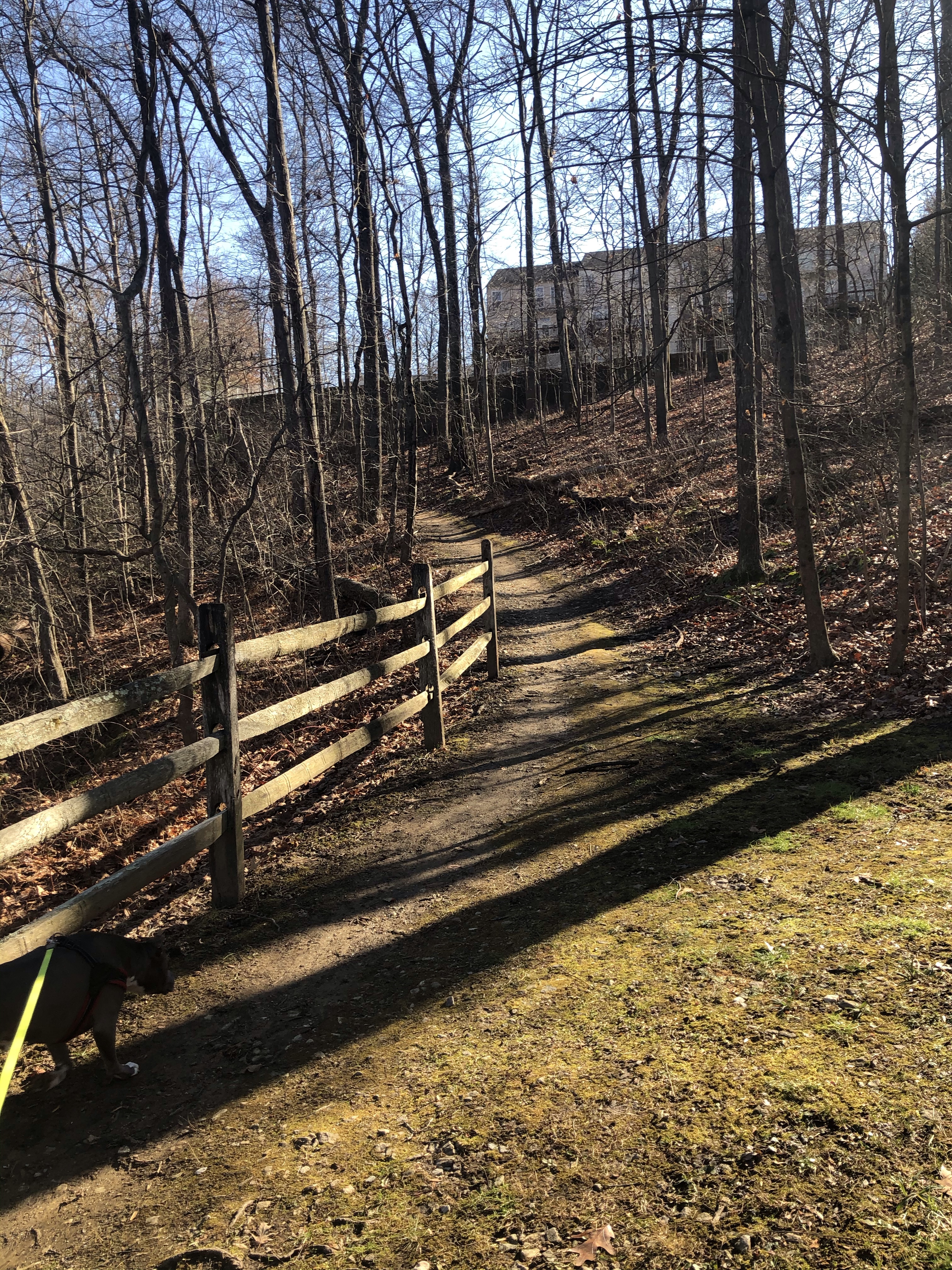
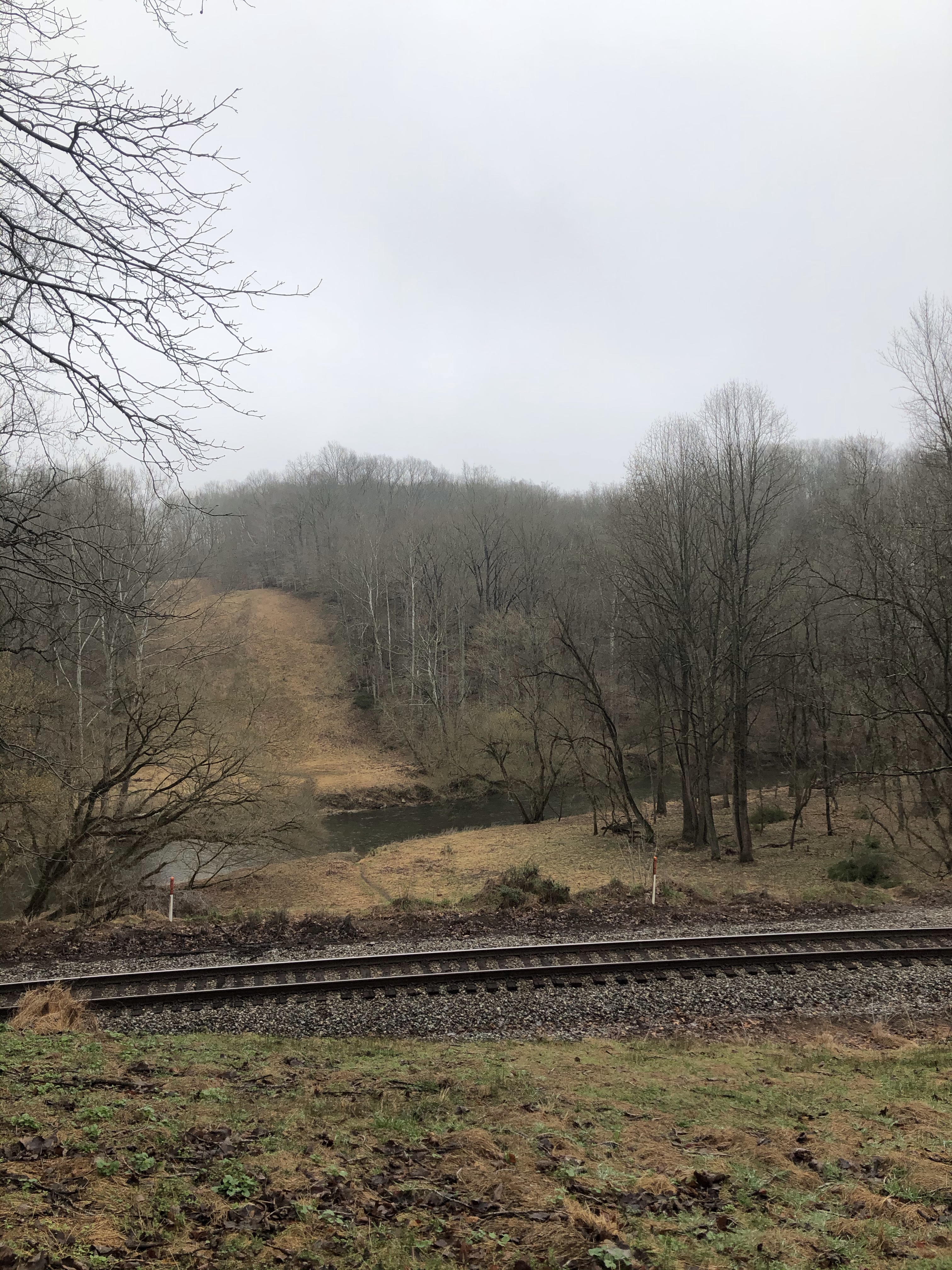
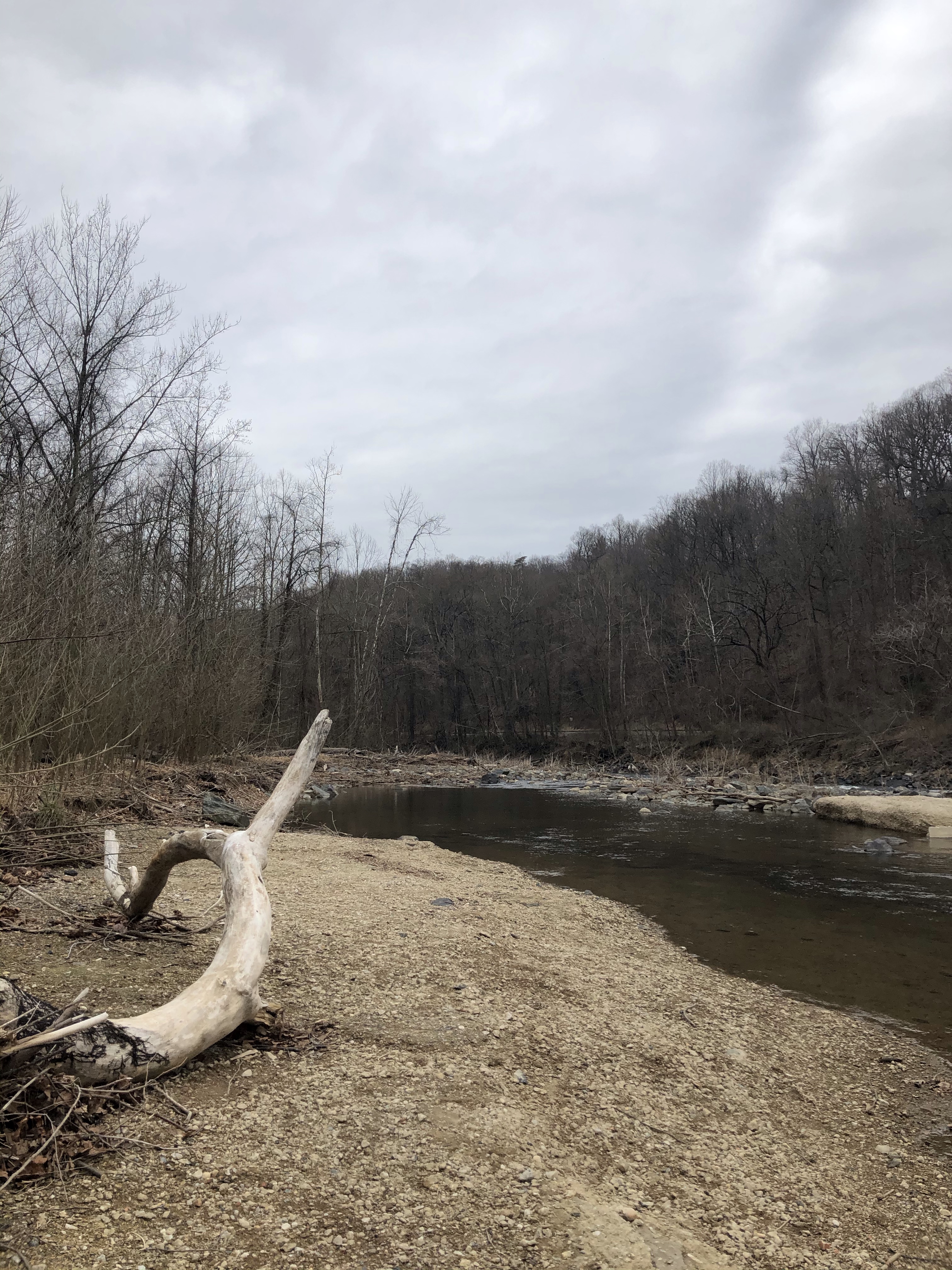
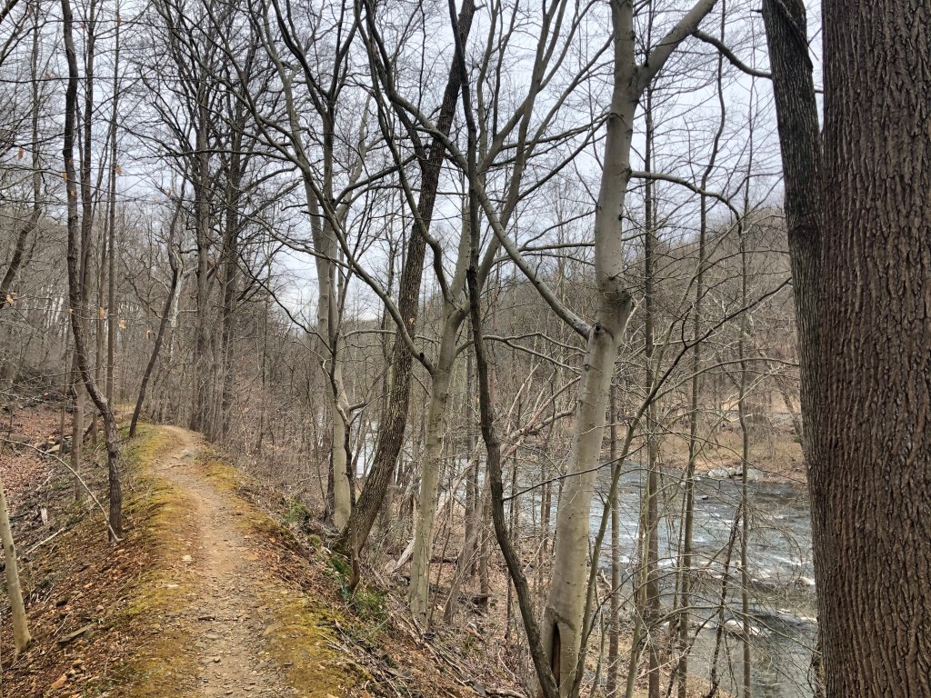
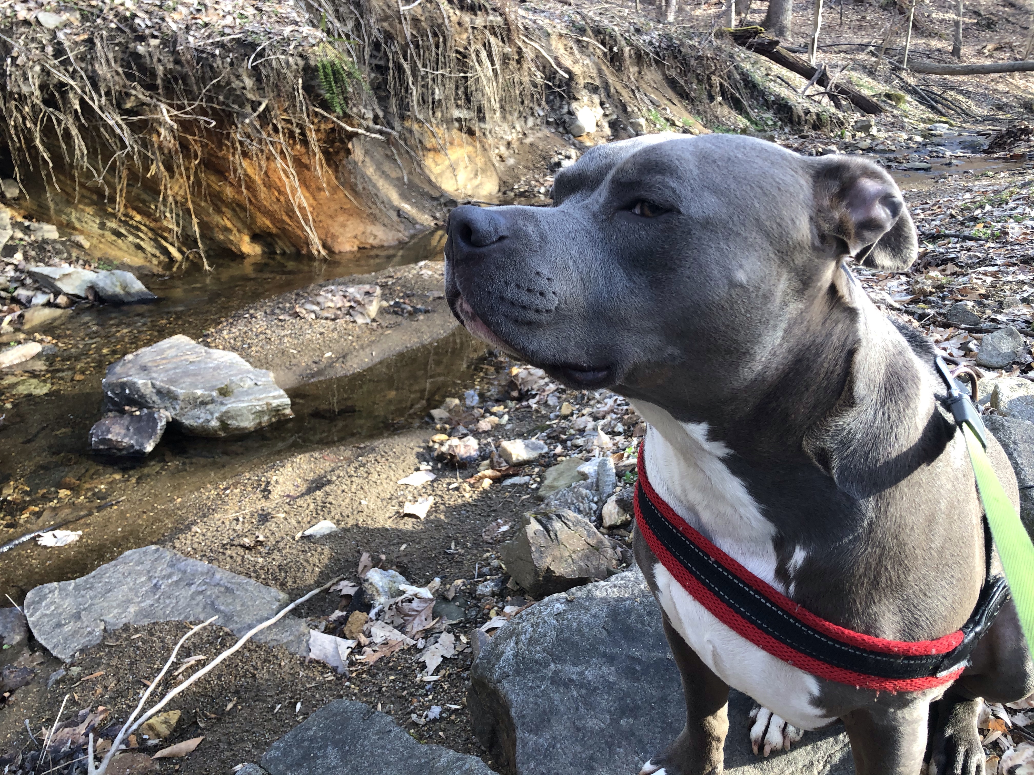
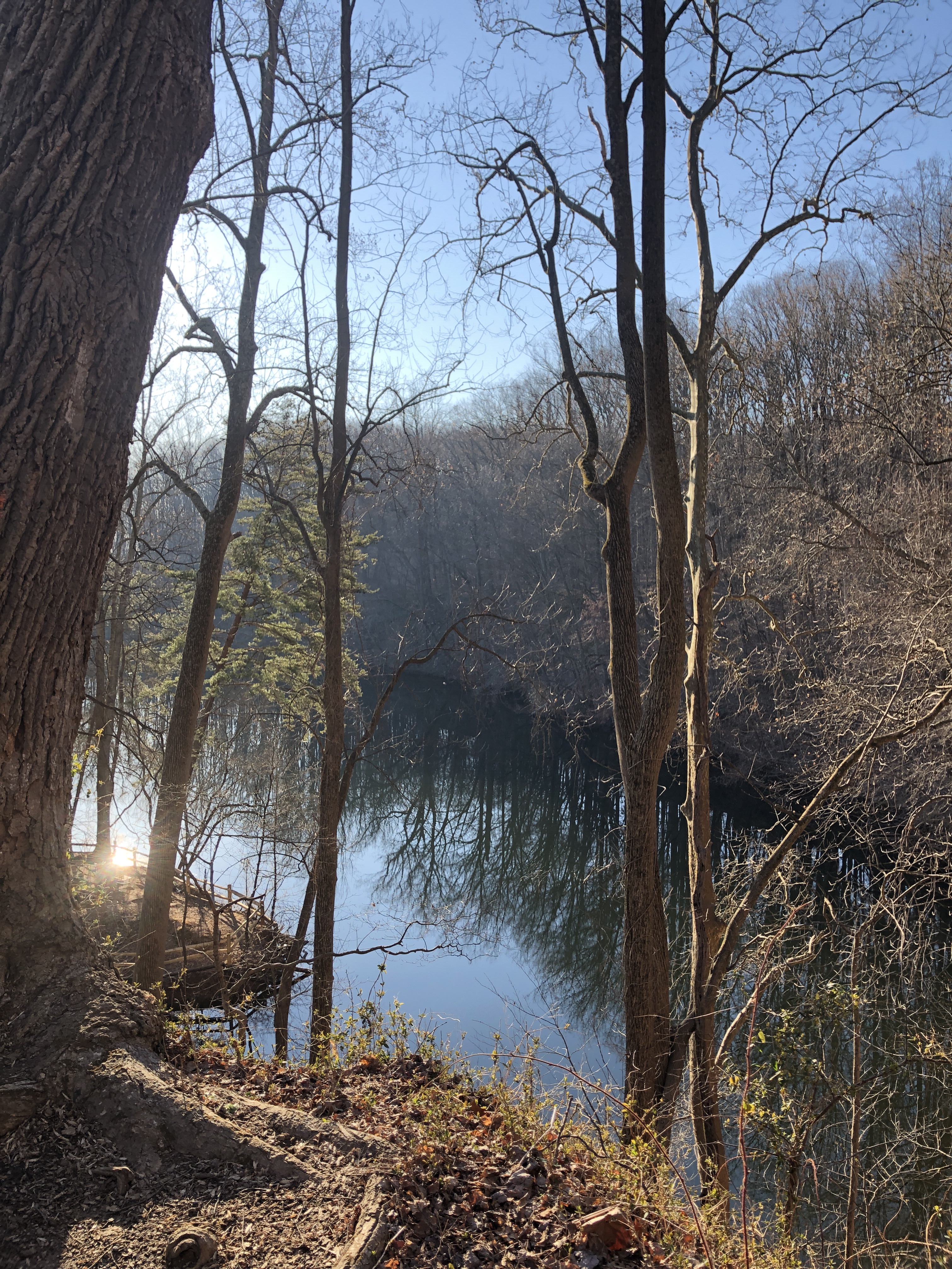
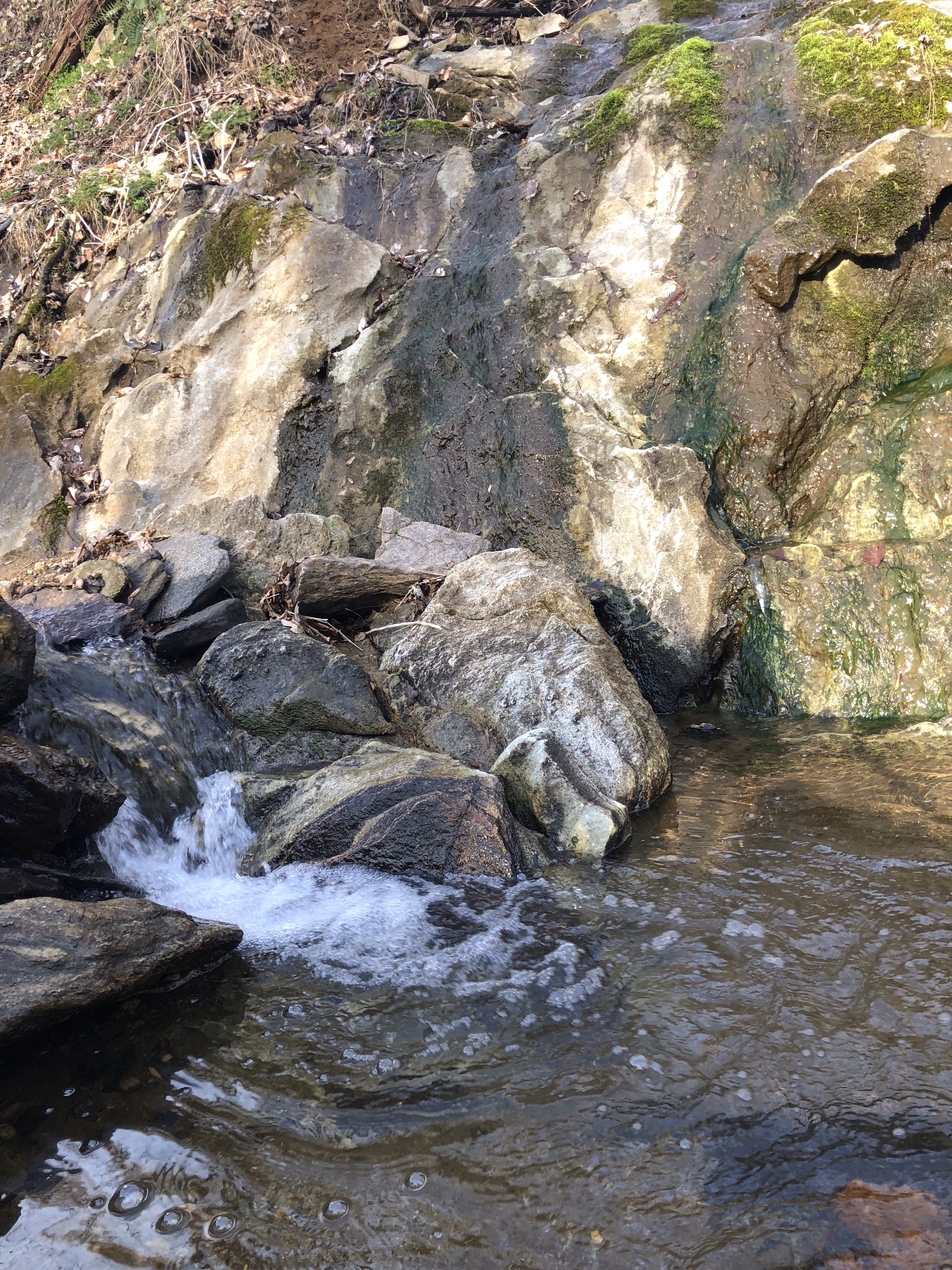
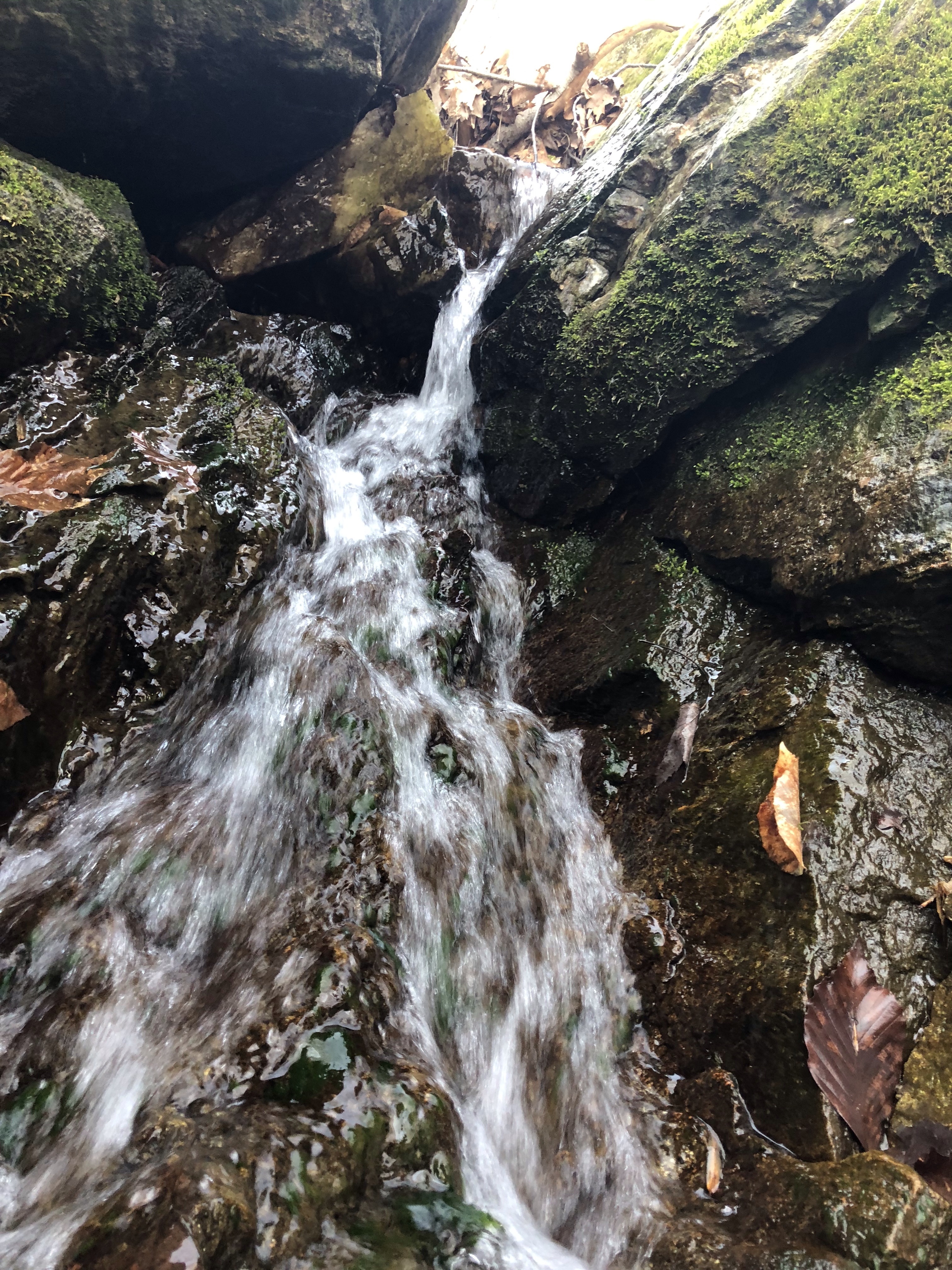
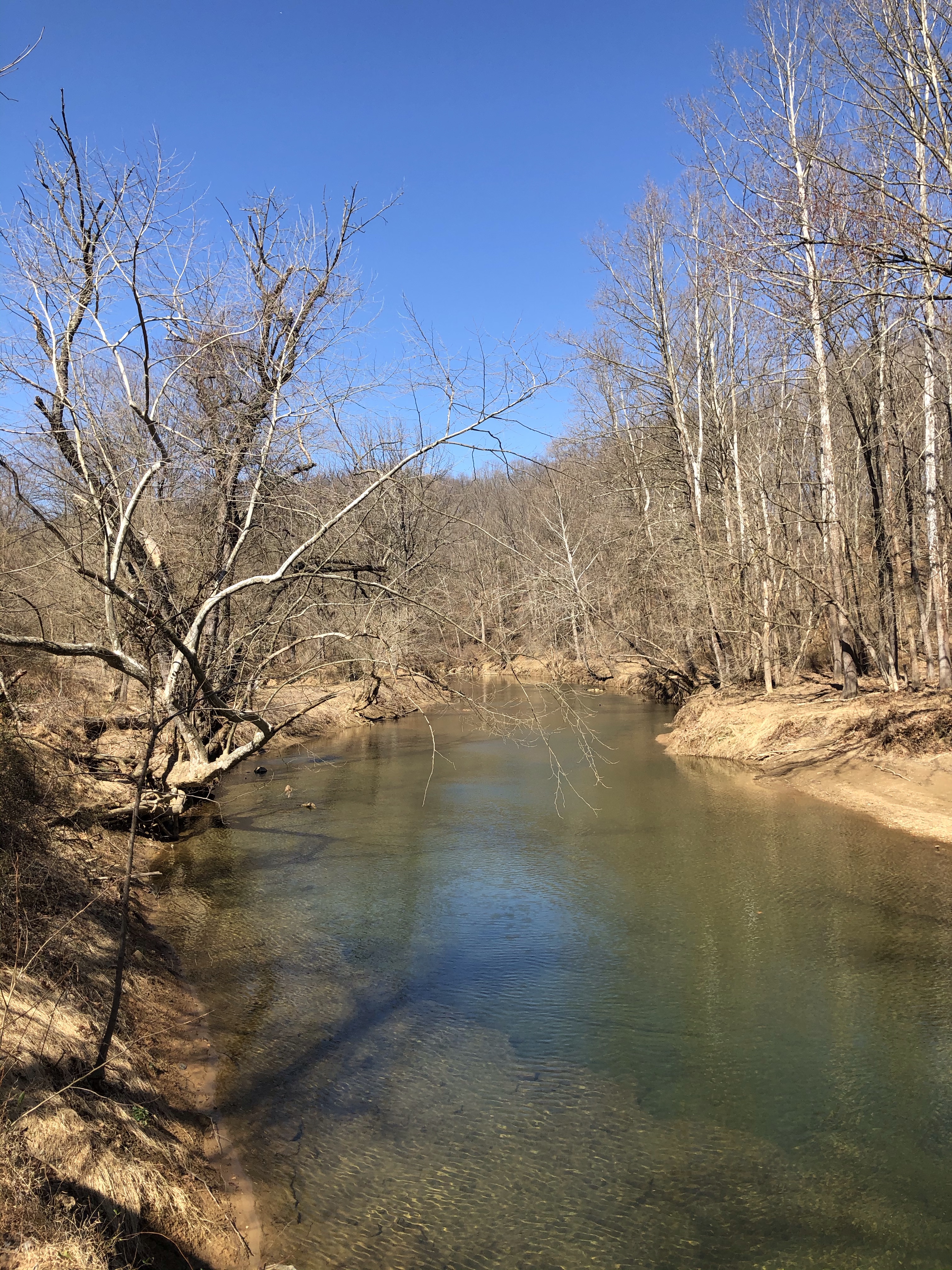
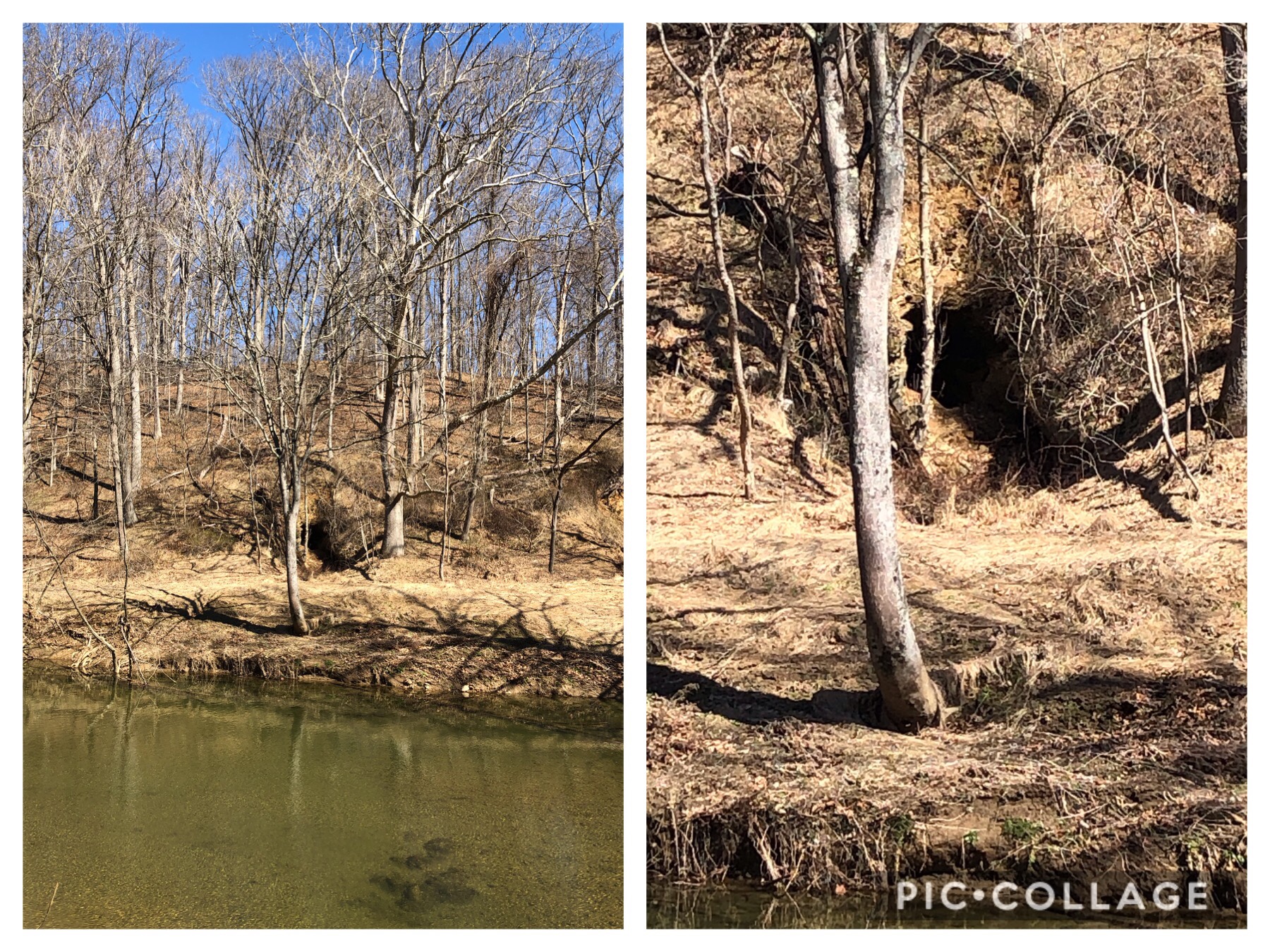
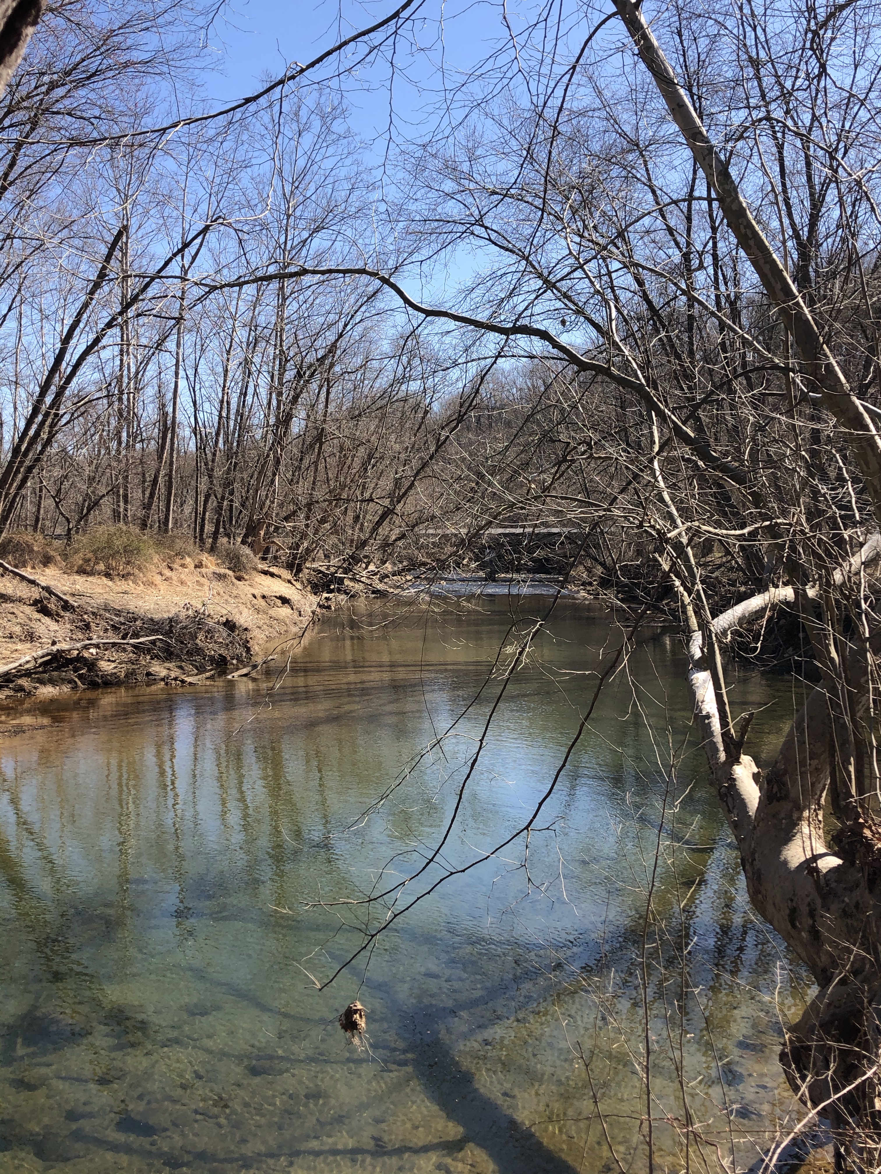
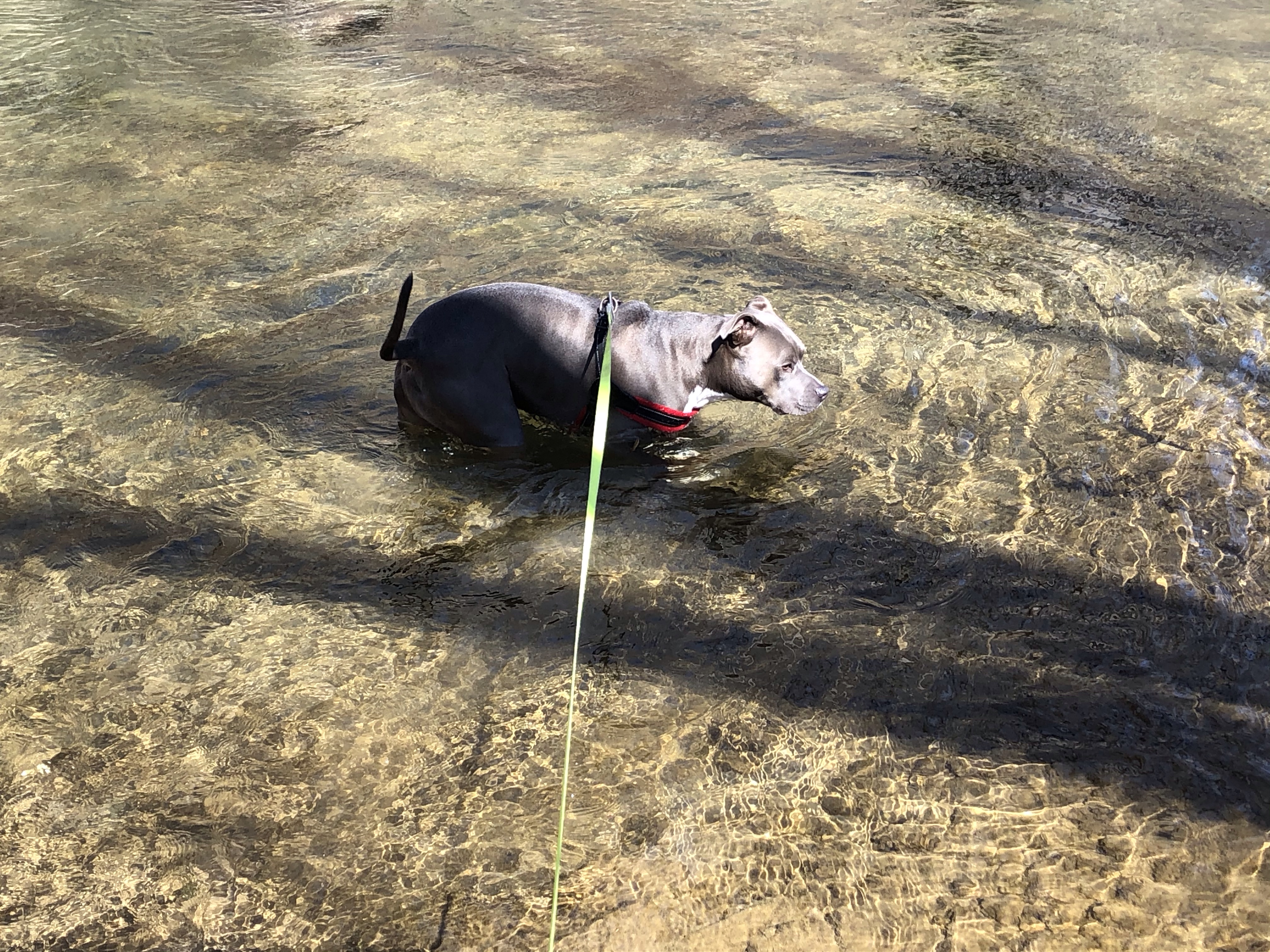
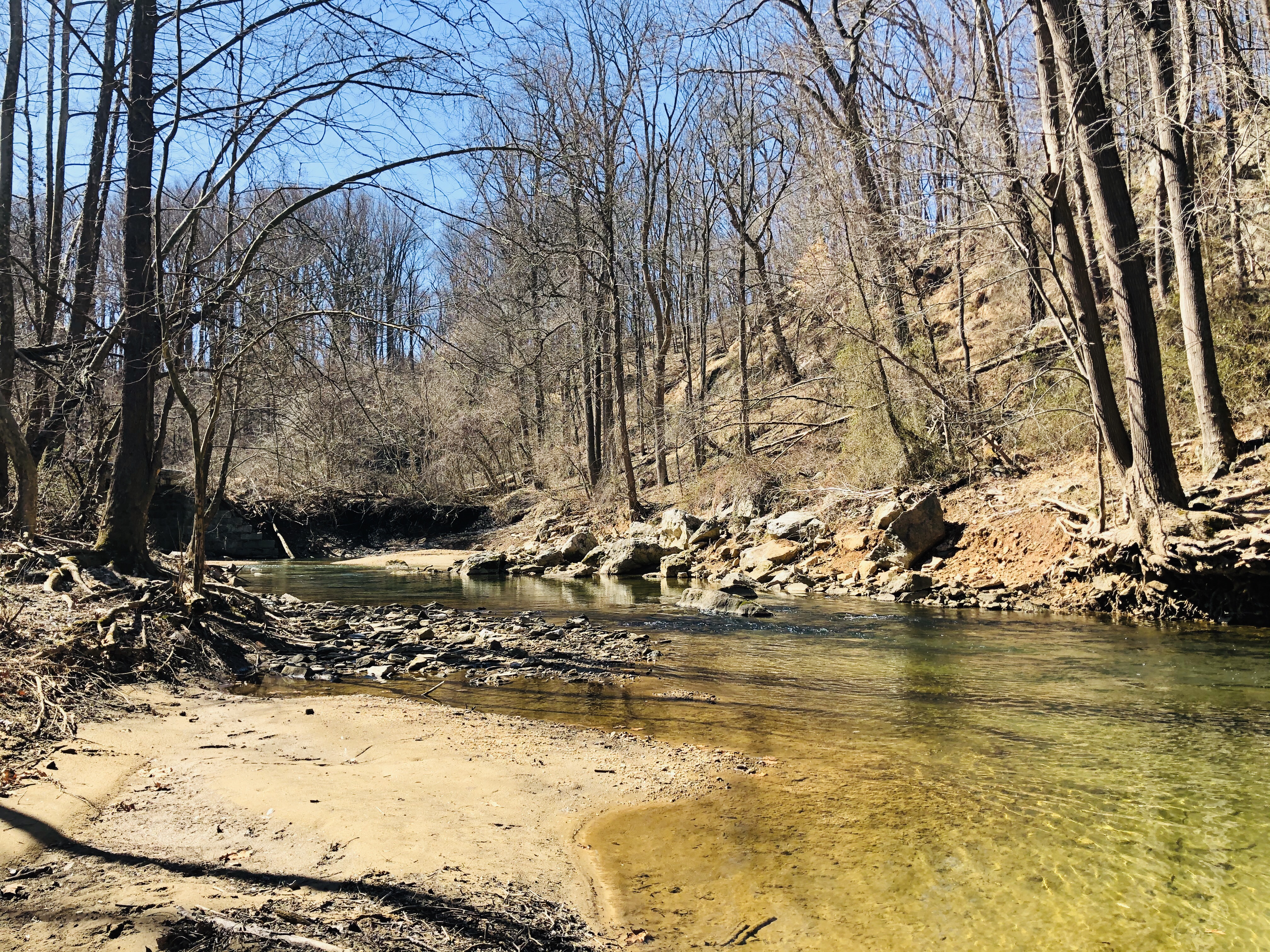
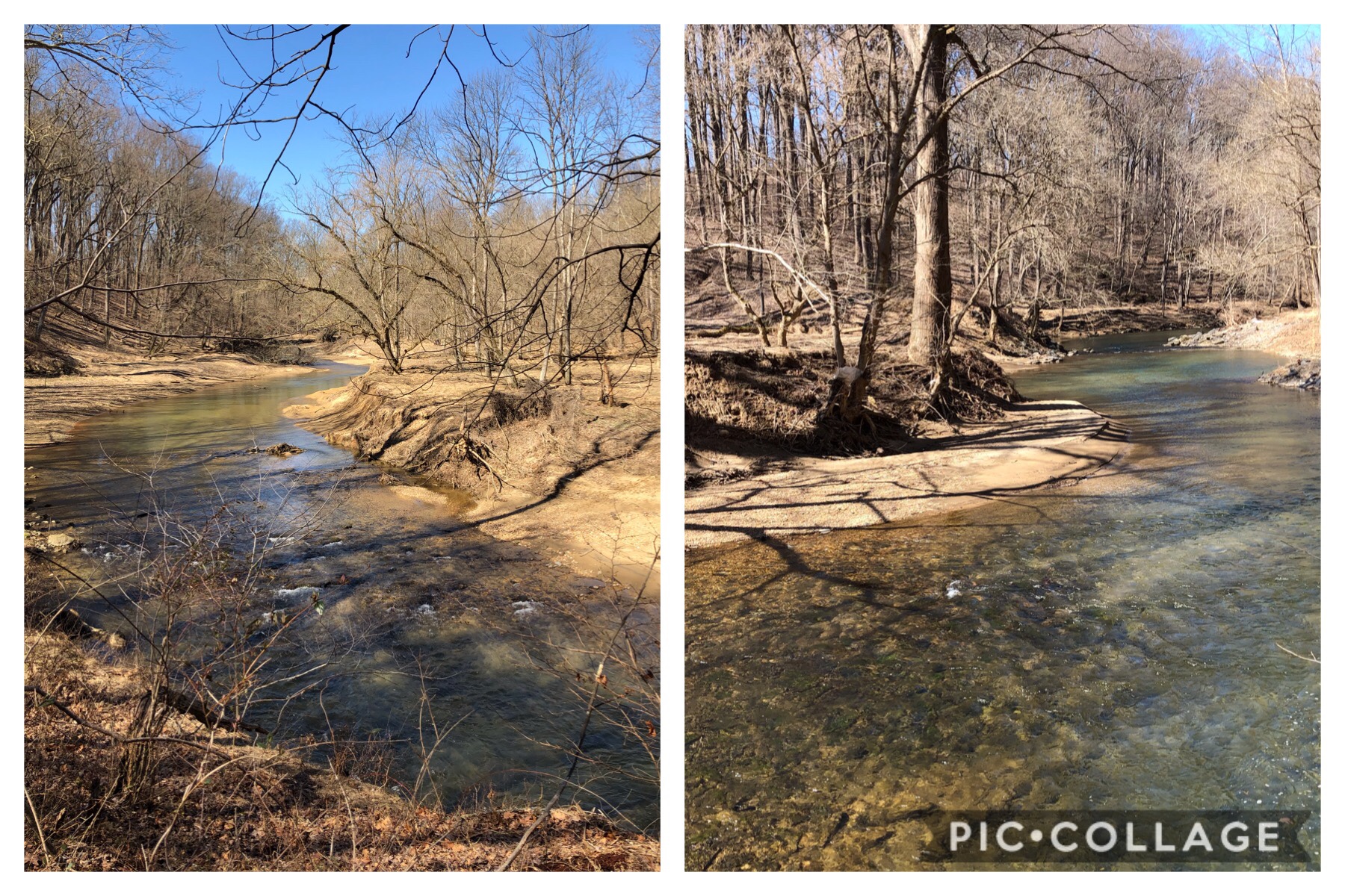
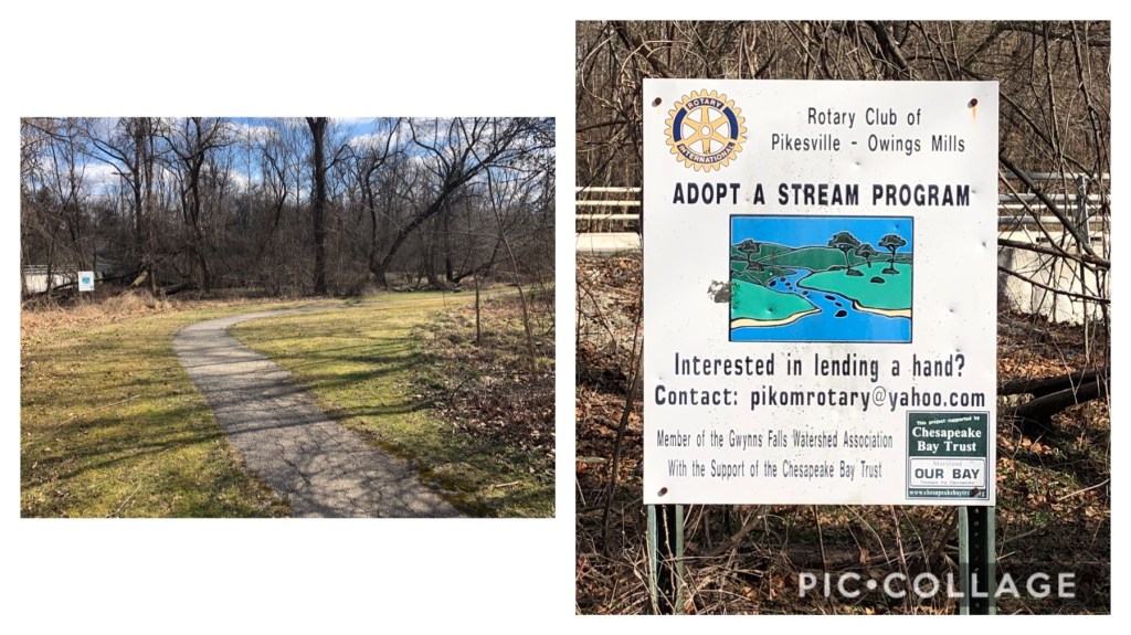
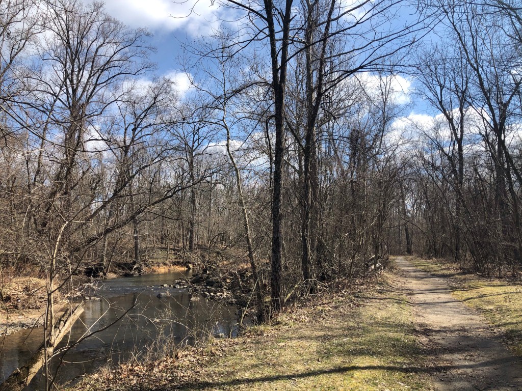
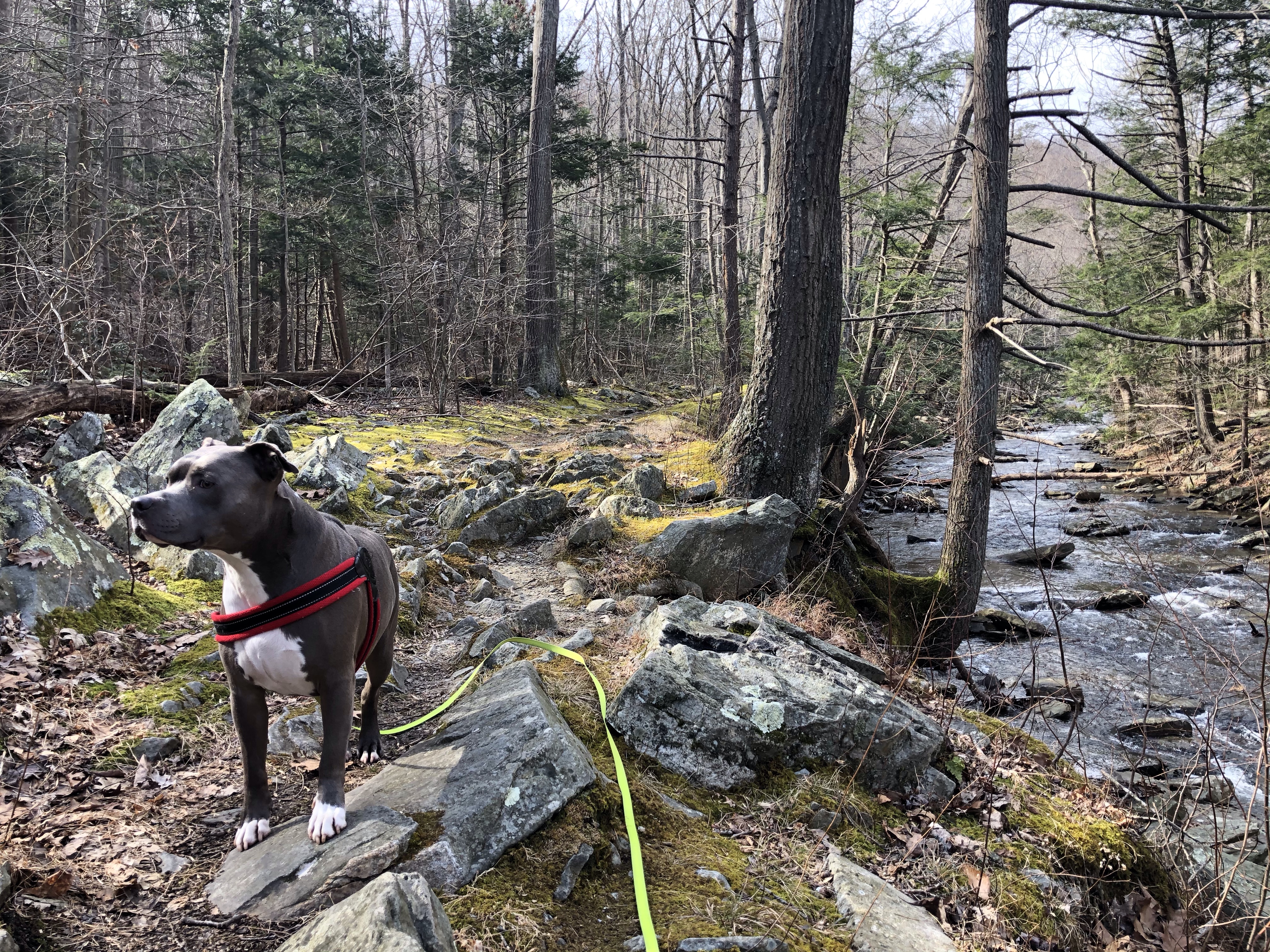
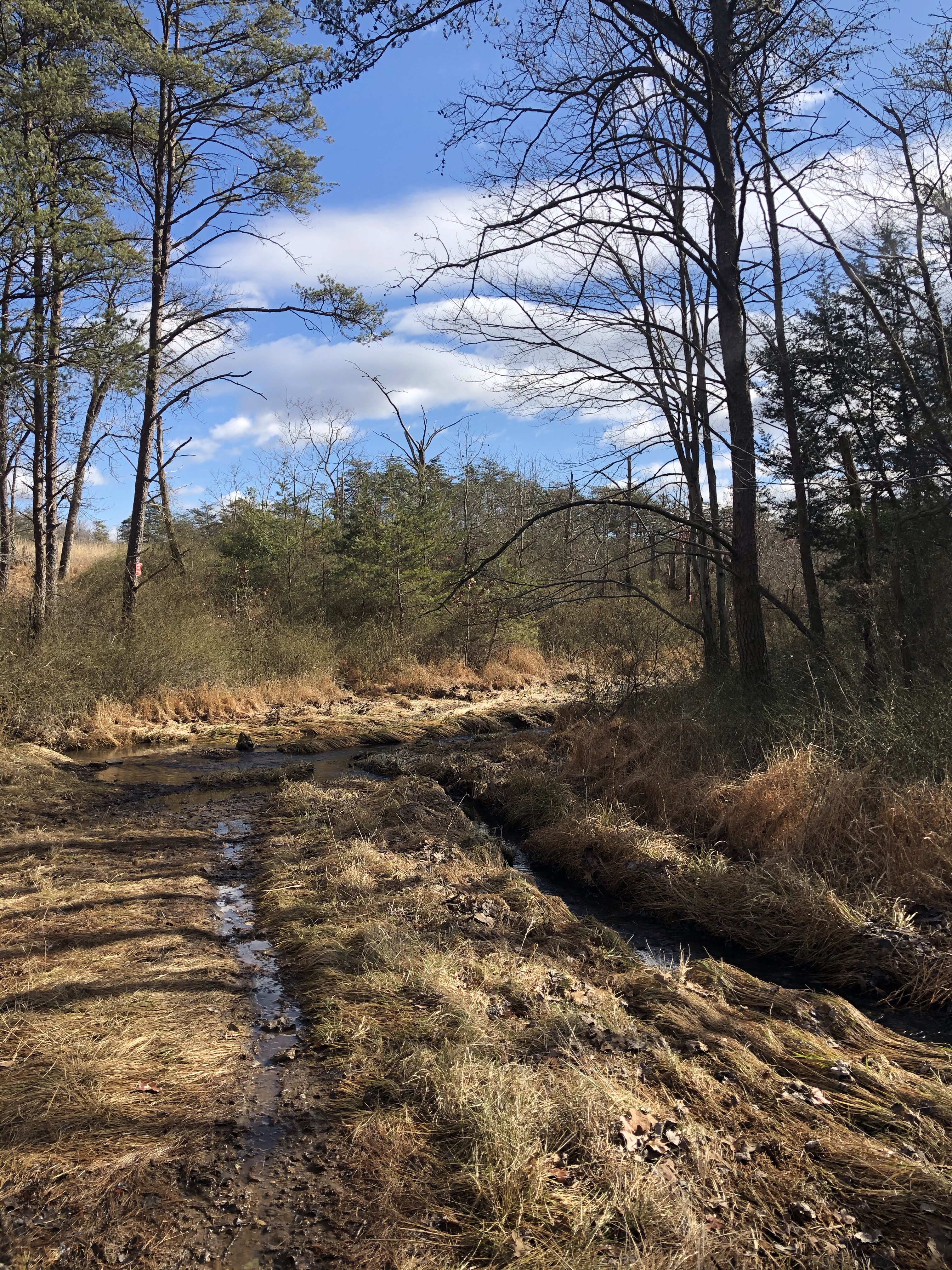
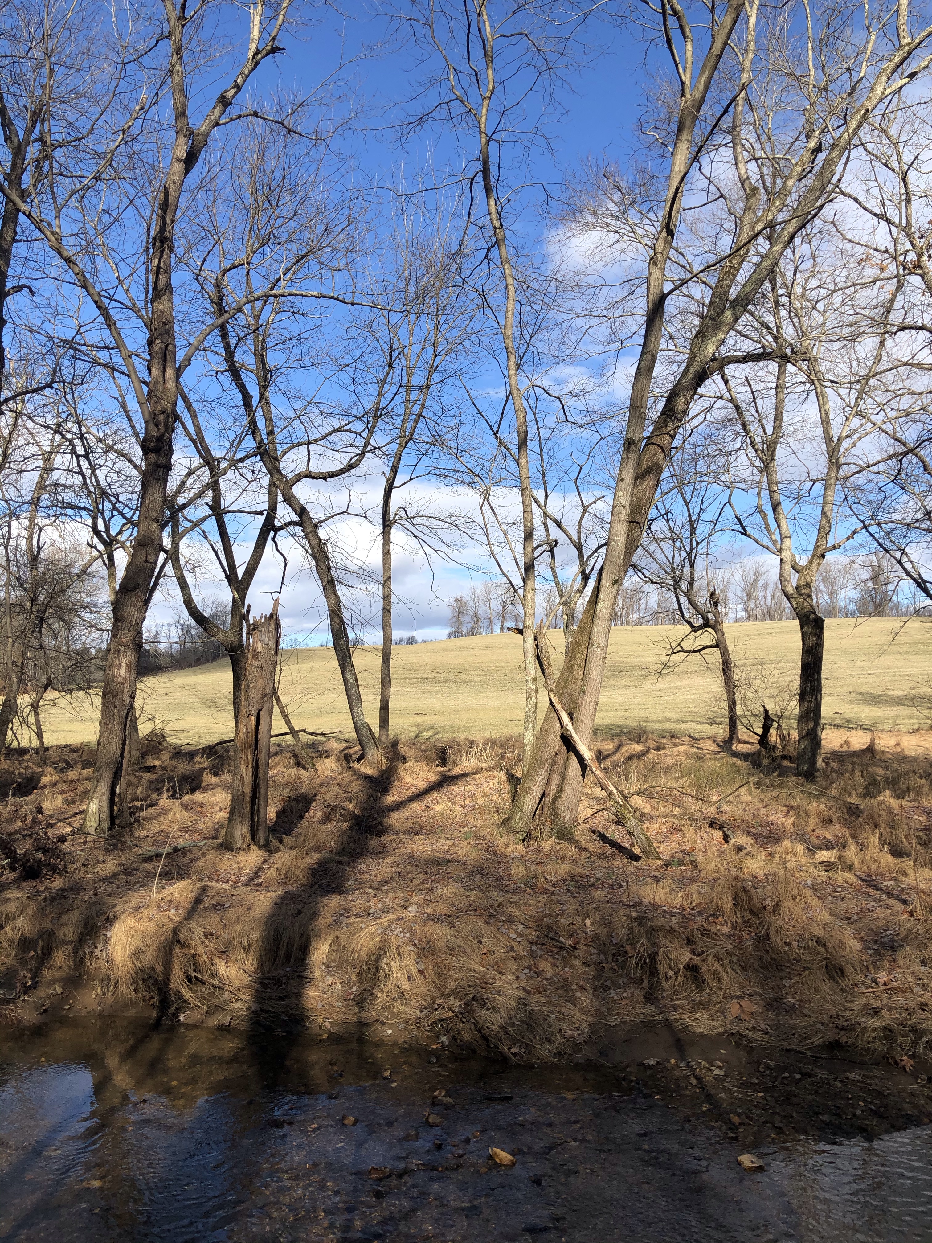
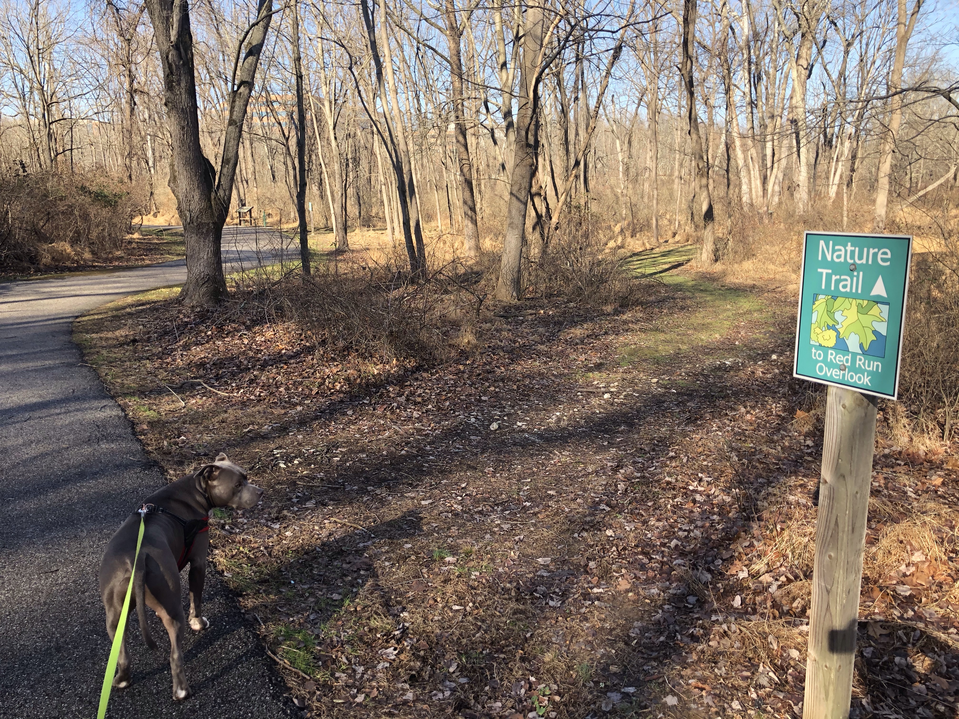 And yet another onto the tiny Nature trail to Red Run overlook. We have taken the tiny path which led us to the stream.